 |
|
|
From
Crystal to Tuna Friday, Aug. 30 to Tuesday, Sept. 3, 1991 by Dennis Foster |
|
|
|
|
|
|
|
From
Crystal to Tuna Friday, Aug. 30 to Tuesday, Sept. 3, 1991 by Dennis Foster |
|
|
|
|
|
In 1991 I did a hike over the Labor Day weekend with colleague and hiking buddy Neil Jacobs. We hiked down into Crystal Canyon from the north rim near Shiva Temple and out Tuna Canyon to a bit west of Point Sublime. Afterwards I typed up a trip report (with Neil's input), including photos, and sent it to the park service at Grand Canyon. At the time the world wide web was still years away, so actually writing/typing something out was the best we could do. Some people would send in physical copies of their trip reports to the park service and I thought this would be a suitable addition. Do they still have this report tucked away in a file somewhere? Maybe. Now, as it turned out, I didn't just type out this report - I used a Brother word processor and saved it to a disk. So cool ... 30 years ago!! At the time, files could be saved on the new-fangled 3.5 inch floppy disks. As the years have passed by I keep thinking that I should dig up my copy of this report and put it up on my web page. Well, these days that is not too difficult in that I can scan in my hard copy and save it as a pdf file. But, it is more work to convert it into text, as the disk software is not compatible ... with anything! Still, whenever a hiker on one of the popular Facebook pages mentions this area of the canyon I think back to my old report. So, I have finally unearthed it from the piles of paper I have and scanned in an optical character copy and cleaned it up. I did very minor editing as I would like it to stand as it was originally written. Oh, yes, and don't forget that this is back in the days of film. Inevitably, pictures don't scan in as well as they looked when first printed. And, they do show scratches and flaws, although I try my best to Photoshop them out. [December 2019] |
|
|
|
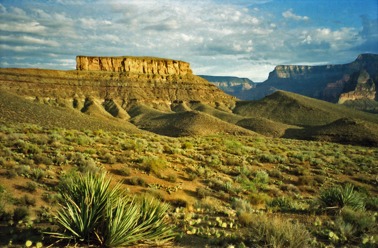
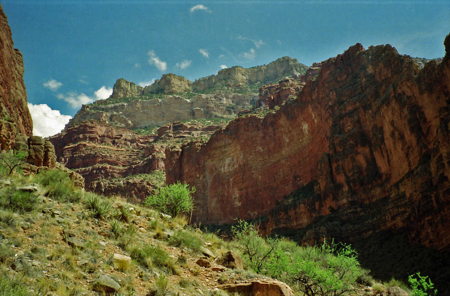
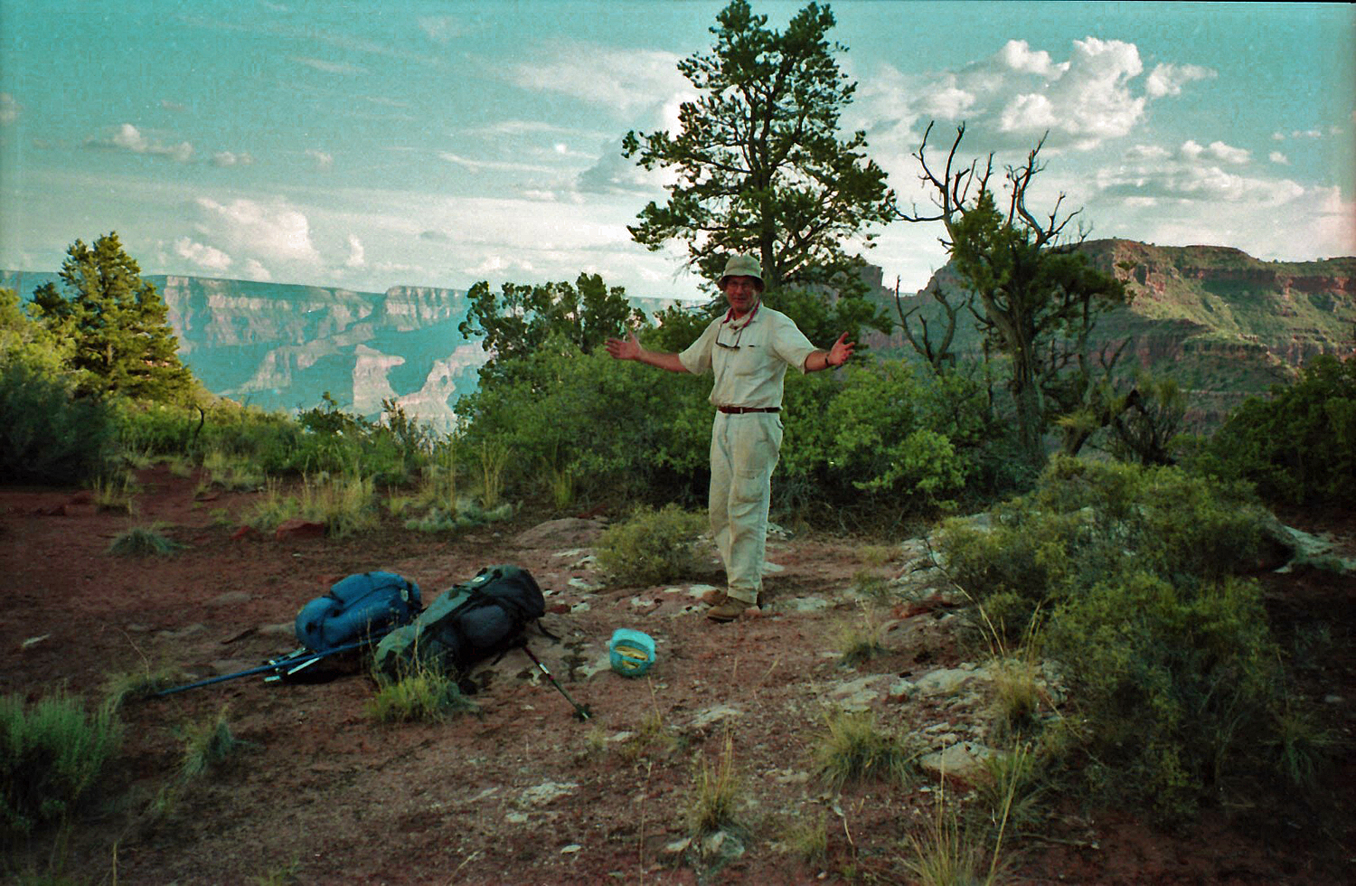
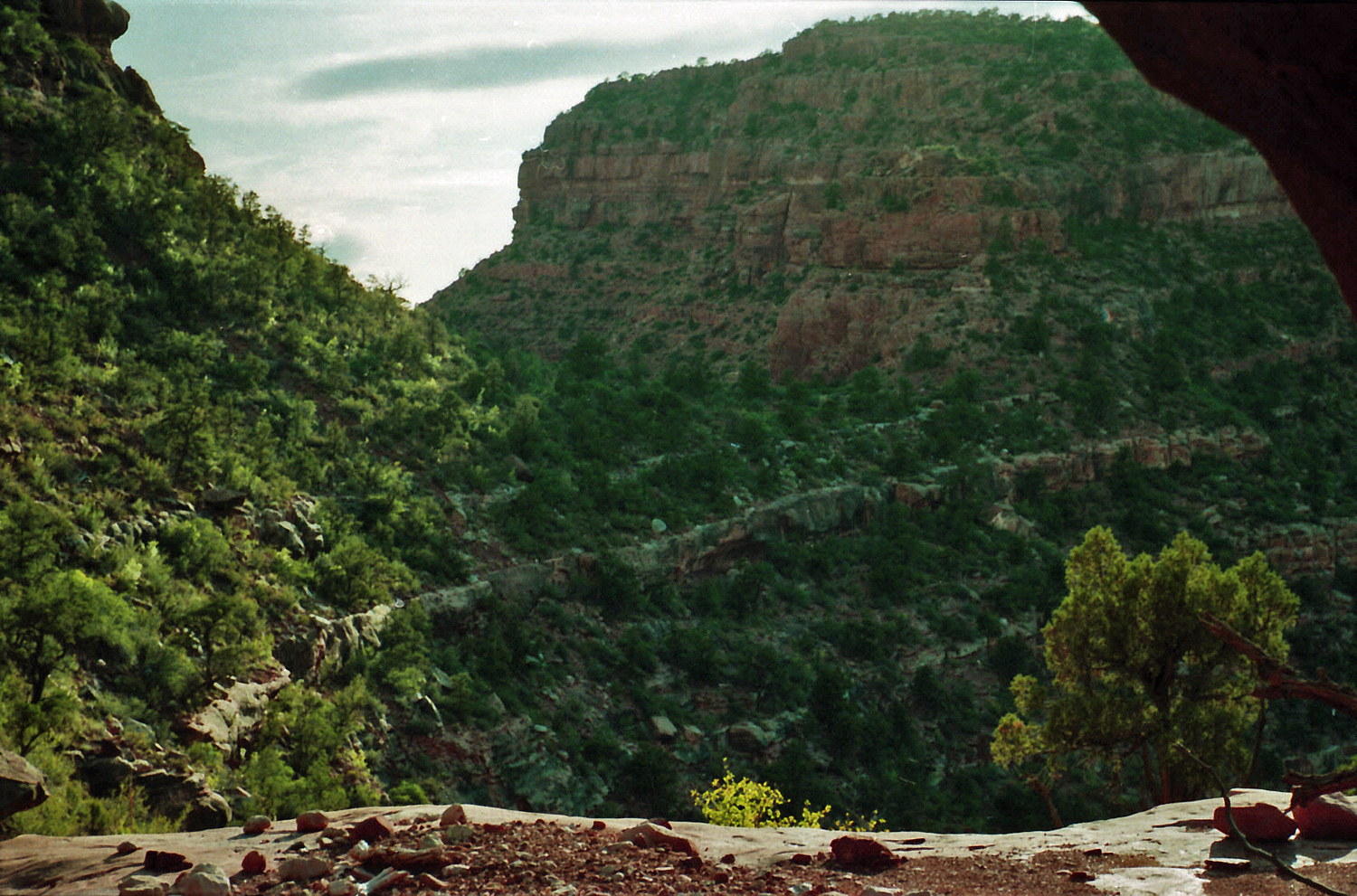
Shiva Expedition Road to Point Sublime Friday, August 30 to Tuesday, September 3, 1991 Dennis Foster Hiking summary: Neil Jacobs and I hiked through the forest from the Shiva Expedition road (where a car had been parked) to the route down to the saddle (in the Supai) between Shiva Temple and the North Rim. From here we followed the northwesterly ravine down to Dragon Creek, then down to Crystal Creek which we followed to the Colorado River. From the river there was some uncertainty on how we would get west to Tuna Creek – we climbed a likely looking break to the Tonto Plateau and contoured into Tuna. From Tuna, we followed the ravine between Point Sublime and Sagittarius Ridge up to the saddle with Flint Creek. From here, we contoured north to the obvious ascent through the Coconino, contoured further north (in the Toroweap formation) around a point and climbed through the broken cliffs of the Kaibab. We then hiked through the forest to the Point Sublime Road, where another vehicle had been parked. Weather conditions: Mostly cloudy, with a couple of very brief periods of rain, on Saturday and Sunday (insufficient to have added to any water pockets). Monday was bright and sunny, warming up quite a bit – as we were climbing out we managed to avoid any serious heat problems. Water: The first water we encountered was at a spring halfway between where we started down Dragon and its junction with Crystal (marked on the National Geographic map, but not on the topos). Water flowed from here all the way to the river. While contouring into Tuna, we followed a couple of ravines until being cliffed out and encountered an occasional water pocket here (in the Tapeats). Once into Tuna we found reliable water below the Tapeats level. The seep on top of the Tapeats (in the ravine leading to the Flint saddle) was such that we would have been hard pressed to have collected any of it. The last water we saw was in the Redwall (while ascending this ravine), where we found a small pool at the top of a bypassed cliff. It was big enough to have gotten a few liters from, but we did not. References: Primarily George Steck’s “Grand Canyon Loop Hikes I” and Harvey Butchart’s “Grand Canyon Treks” and “Grand Canyon Treks III.” Basic equipment: We had fully loaded packs (one internal frame and one external frame), though we took some pains to try and economize on weight. We did not take sleeping bags, but rather lightweight liners, and we did take a tent (used every night) and stove (used daily). We did not take any "mountaineering” items (we had a light rope for pulling up packs – used once). Friday, August 30: 2 pm to 5:30 pm – We met at the General Store on the North Rim, permit in hand, and proceeded to drive to Pt. Sublime, check out some of the route, leave a vehicle along the road, and drive the other vehicle to the end of the Shiva Expedition Road (as far as one can reasonably drive), which branches off the Tiyo Pt. Road. We did a poor job of predicting how long all this would take, and finally left the car at around 5:30 pm. 5:30 pm to 6:30 pm – We spent an hour walking through the forest to the rim. It is very easy going, as no ravines need be crossed, as is the case if departing from Tiyo. [I have done this route 3 times before.] We arrived at the rim to the east of the small ravine that leads down to the boomerang-like formation between the Shiva saddle and the rim. This ravine is not easy to find, with all the locust growing on the rim, but we found some cairns marking the way down once we reached the right spot. 6:30 pm to 9 pm – It got dark as we contoured around on the 'boomerang', looking for the route through the Coconino. Our headlights were handy, though their limited range made route finding laborious and fatiguing. Once through the main break (lowering our packs by hand) we found the steep descent to be quite treacherous, suffering a couple of sliding falls and one twisted ankle. [A cause for concern, but it was better, though stiff, the next morning.] We reached the saddle and set up camp by 9 pm, deferring our regular cooked dinner to the next morning. |
|
|
||
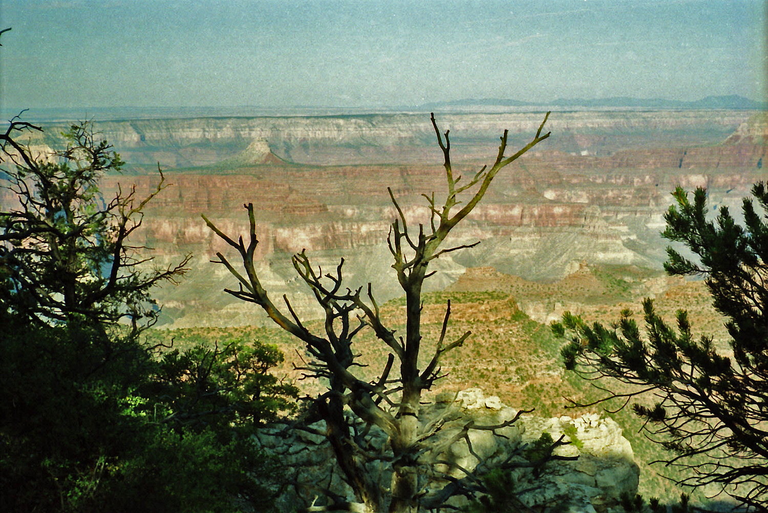
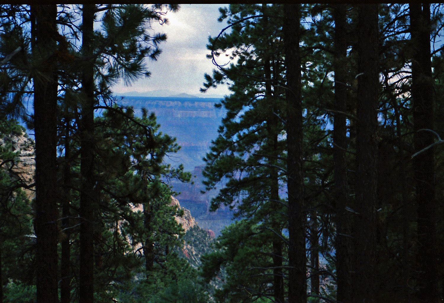 The view from the rim. |
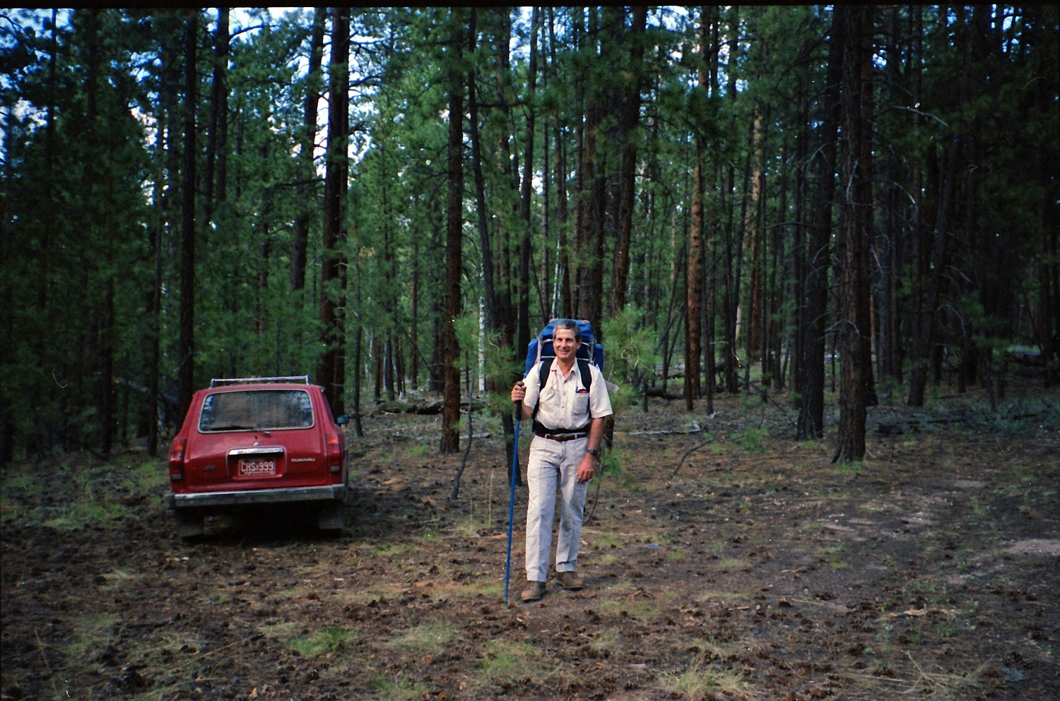 Neil & car on Shiva XP Pt. road. |
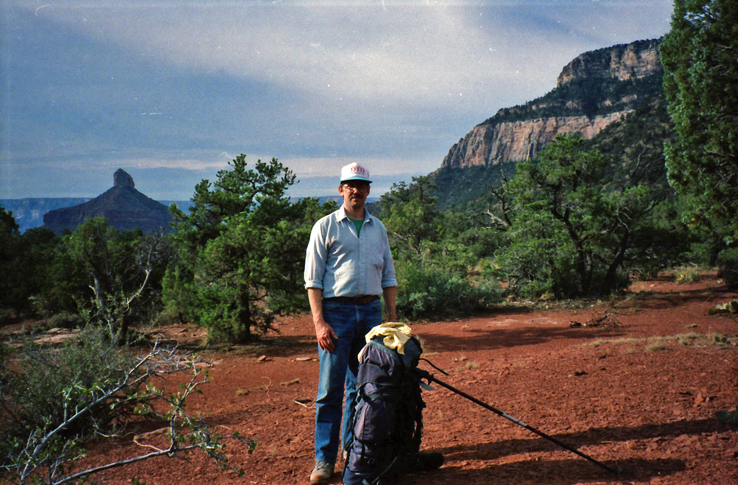 Saturday morning on Shiva saddle. |
|
Saturday, August 31: 8:15 am to 8:30 am – We were up fairly early, ate “dinner” and were packed up by 8:15. It was not long until we found the route off the saddle, down the ravine running NW, as it is well-marked with cairns.
8:30 am to 12:30 pm - The route down this ravine is quite clearly marked
and reasonably well-traveled (lots of deer prints, though we didn't see
a single one on this hike). We saw no obvious reason to detour from the
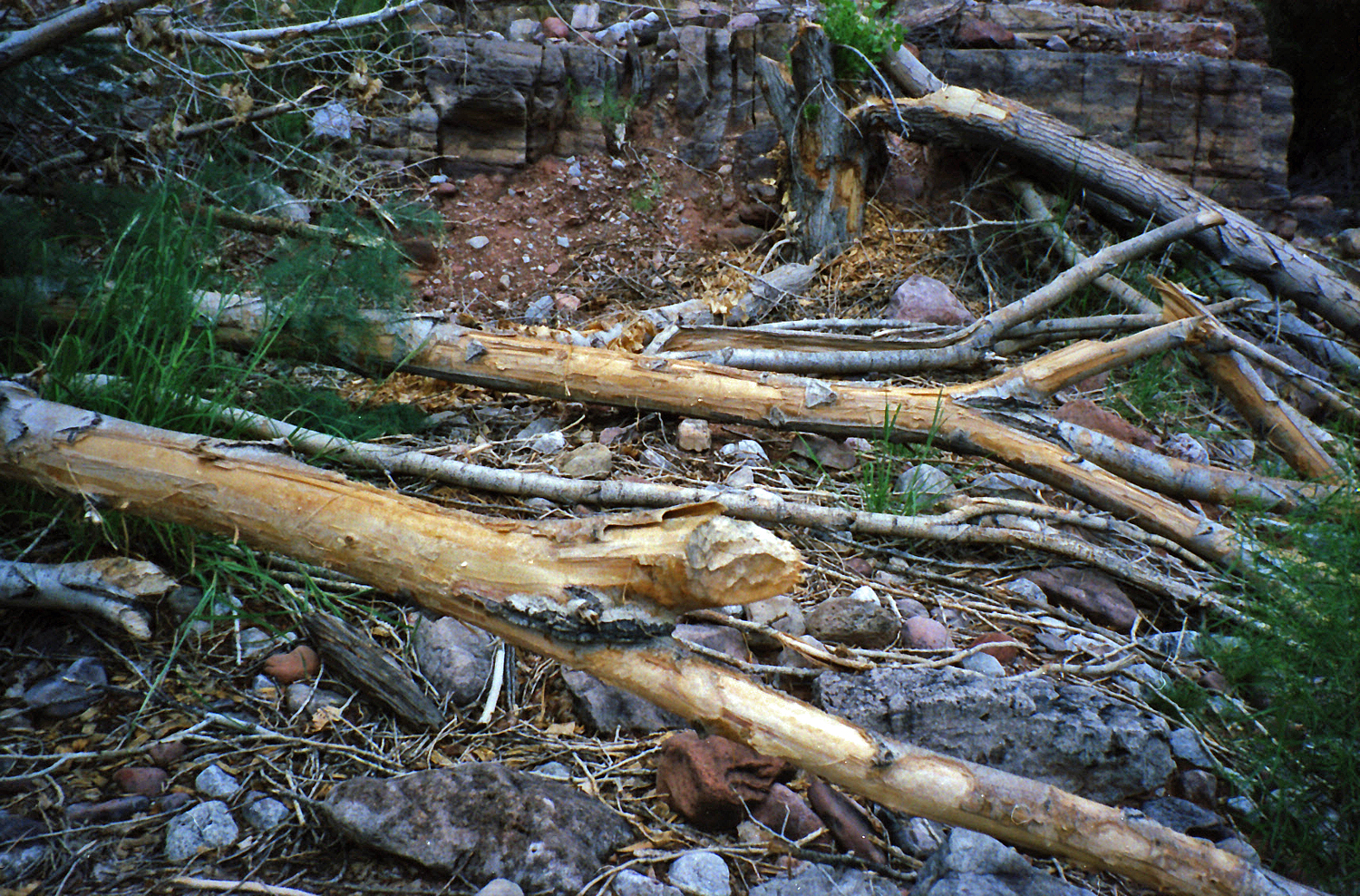
main bed (see 12:30 pm to 2 pm – The walk down this part of Dragon is pretty easy, as the bed is pretty wide and free of much plant life. The route climbs out of the bed just as the bed comes to the Tapeats layer. It was well-marked and this trail rides along at this level until a route is found to the spring mentioned earlier. Getting to the spring is arduous, as the area is thick with trees and shrubs, living and dead. We spent our lunch hour (and a half) here, leaving after a brief rain shower. 3:30 pm to 8:45 pm – We decided to walk down Dragon rather than following the faint trail above the Tapeats. The riparian environment was such that we were enmeshed in the flora and our progress was quite slow. Though we did not see any, there were lots of signs that beaver live here – numerous cut trees and small dams all along this creek. This narrow little canyon doesn't open up very much until one nears the junction with Crystal, when the traveling becomes much easier. We reached the junction between 5 and 6 pm, and were well off our schedule (we planned to camp this night at the river), so we continued on into the dark. We probably got as far as the junction with the major ravine that runs from between Confucius and Mencius Temples before camping. Once again, we postponed dinner until morning. |
|
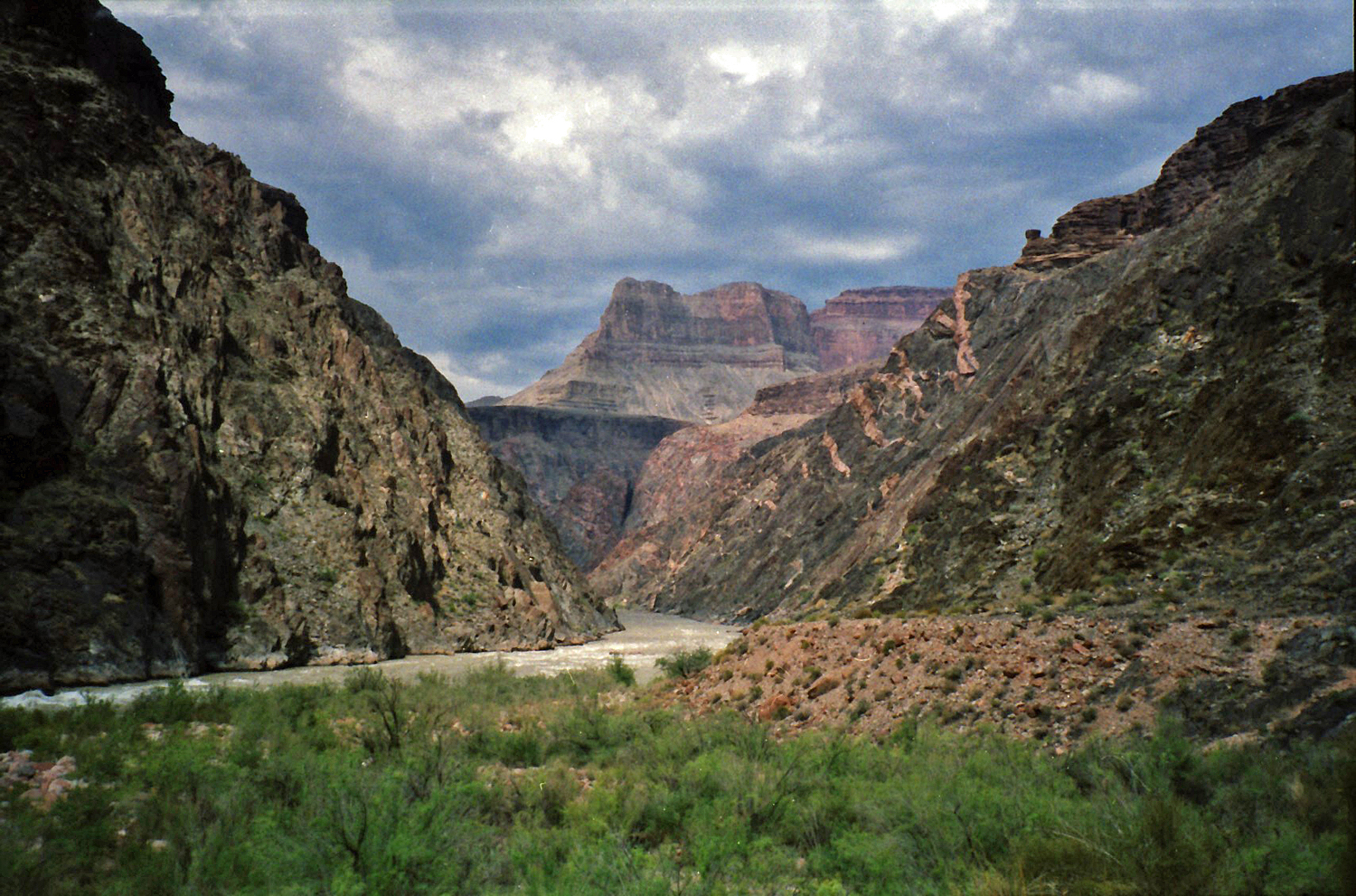
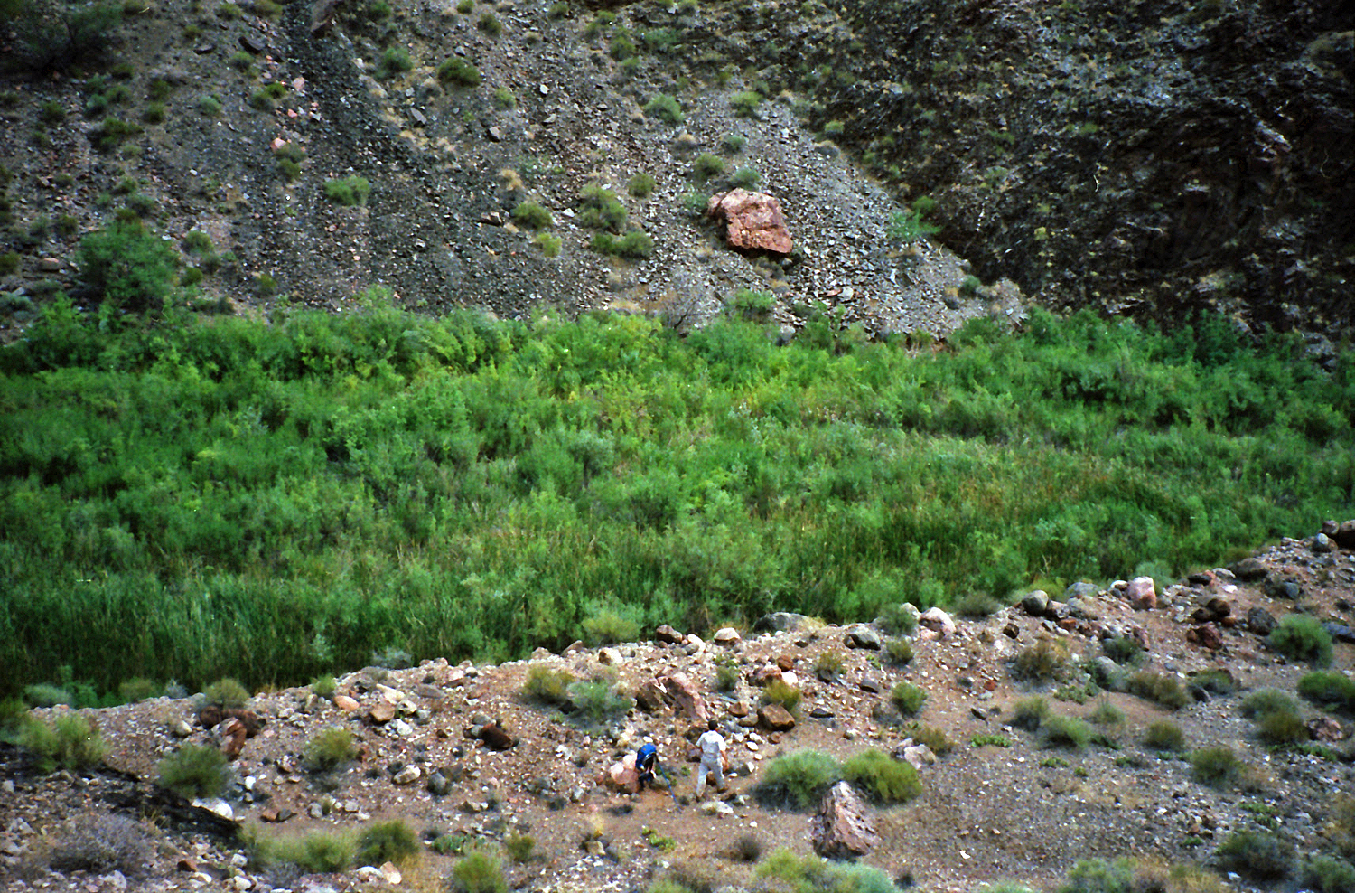
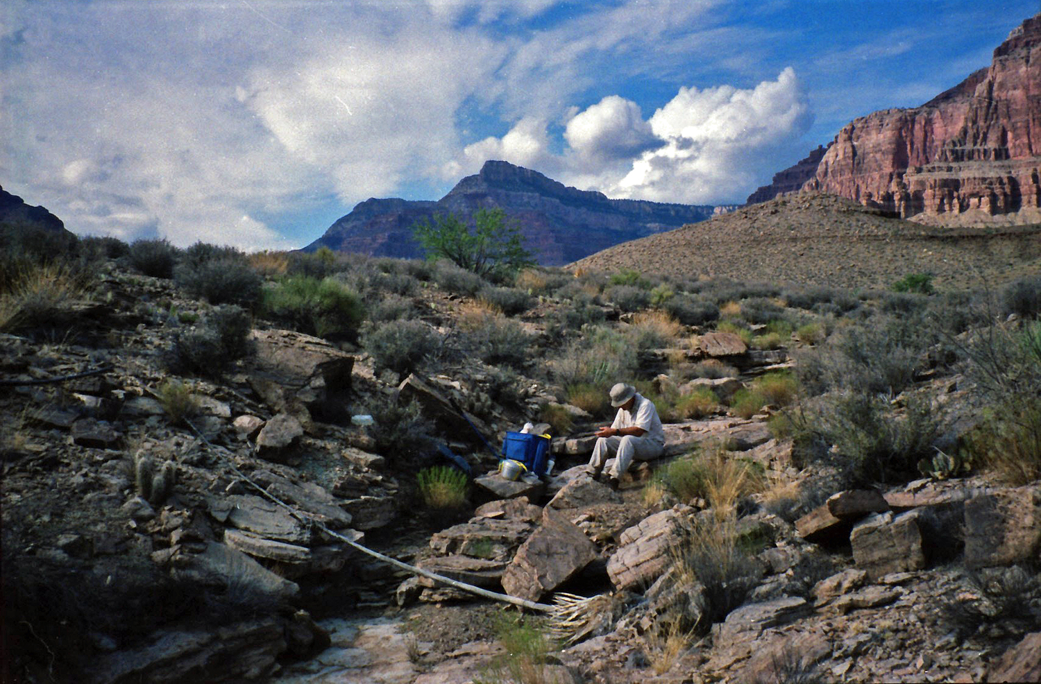
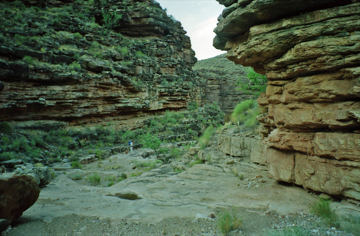
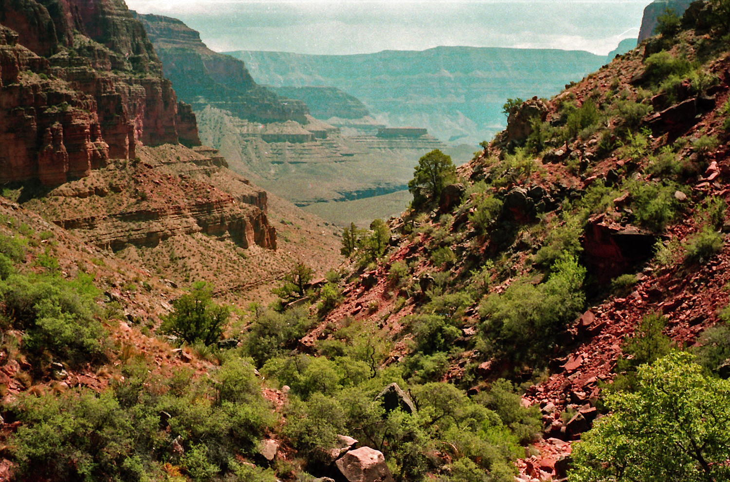
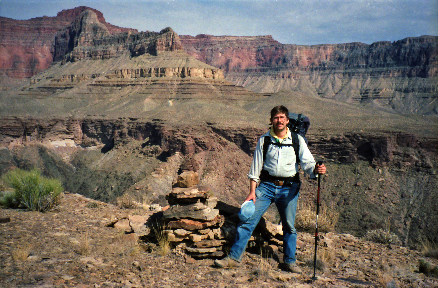
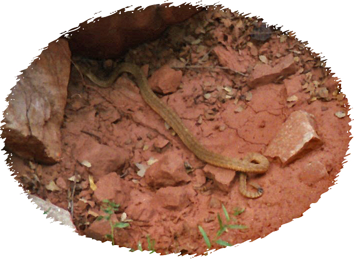
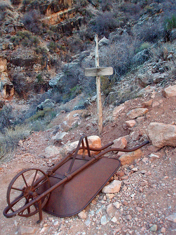
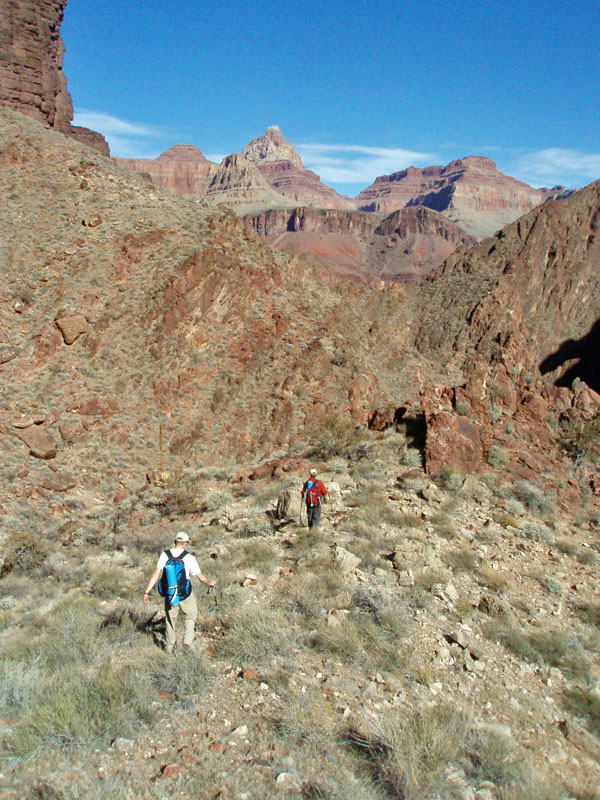
Sunday, September 1: 8 am to 11 am – We left fairly early, and made very good progress walking down Crystal, crisscrossing the stream numerous times. Near one bend in the creek we heard a loud noise and looked up to see a backpack-sized rock falling down a cliff into the creek (breaking up quite a bit on the way down). We kept our attention on the west side of this canyon, as we were expecting to have to climb out here to the Tonto and then around into Tuna. We did spot a route through the broken Tapeats near a detached tower of rock. As we neared the river we lost sight of the exact route, but did continue to see this tower. We stopped at a small bluff overlooking the river and relaxed and ate some lunch. While we were there, a river party came through, surveyed the area, and then ran the rapids. We could see Tuna from here, and begrudged, however slightly, how fast they got there! We did not like the looks of the route along the river – the schist is steep. Additionally, we were unsure how we’d then climb to the Tonto level (going up Tuna was uncertain). 2 pm to 7 pm – We backtracked up Crystal to our point of departure for the climb up to the Tonto. This place is quite easy to find, as there is a trail that suddenly leaves Crystal and climbs to a broad shelf for about 200 yards, and then drops back down to the creek. The ascent starts from this shelf, which we did after filling up with water. We took a lot, as we fully expected a dry camp that evening. The climb up was quite straightforward – we kept our focus on the rock tower, and when we reached the Tonto level we found a large rock cairn to mark this descent. We wandered across the Tonto to a point overlooking the Tuna/river junction and took stock of how difficult the climb might have been had we chosen that route. In a ravine, leading to Tuna, we found fragments of metal. Some were painted an olive green color, leading us to speculate on the possible military nature of these pieces. One part had a Bell Helicopter metal tag attached (part number 206-001-189-1, and serial number T4298). In another ravine we also found a mass of silk-like material that struck us as being from a parachute. Knowing of the 1944 incident, where three men parachuted from an Air Force plane, we could not help but wonder if the parachute was a remnant of that event. While contouring across the Tonto, into Tuna canyon, another rattler was encountered. We finally stopped at twilight on a saddle between ravines. |
|
|
||
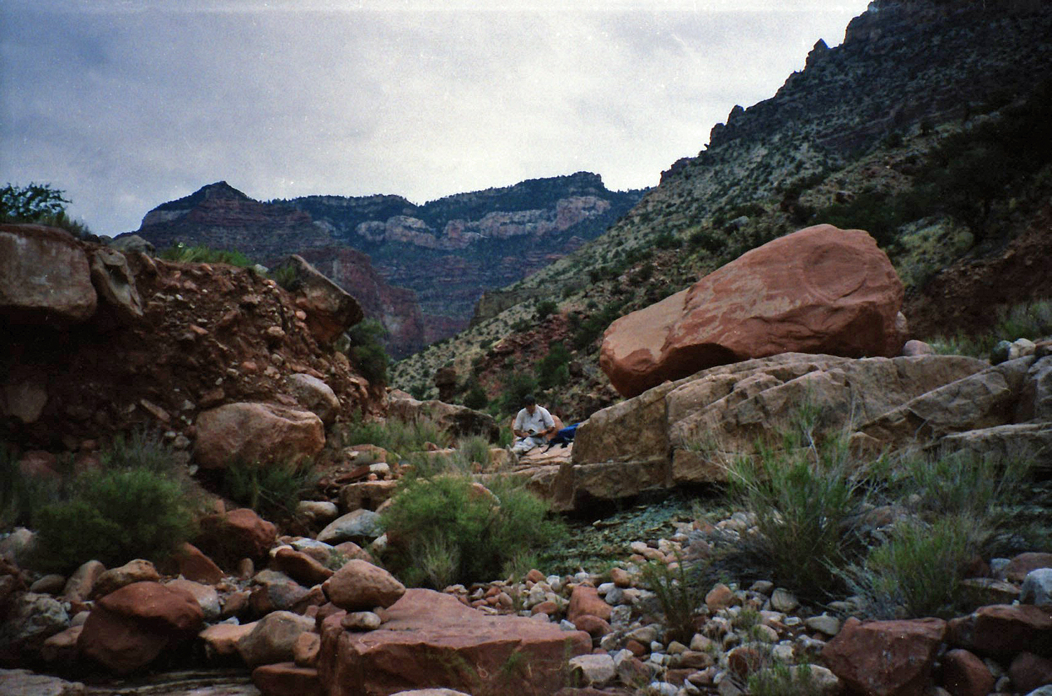
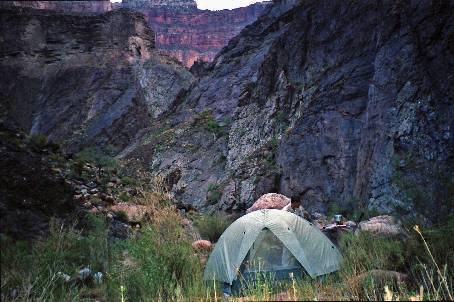 Camp in Crystal Canyon. |
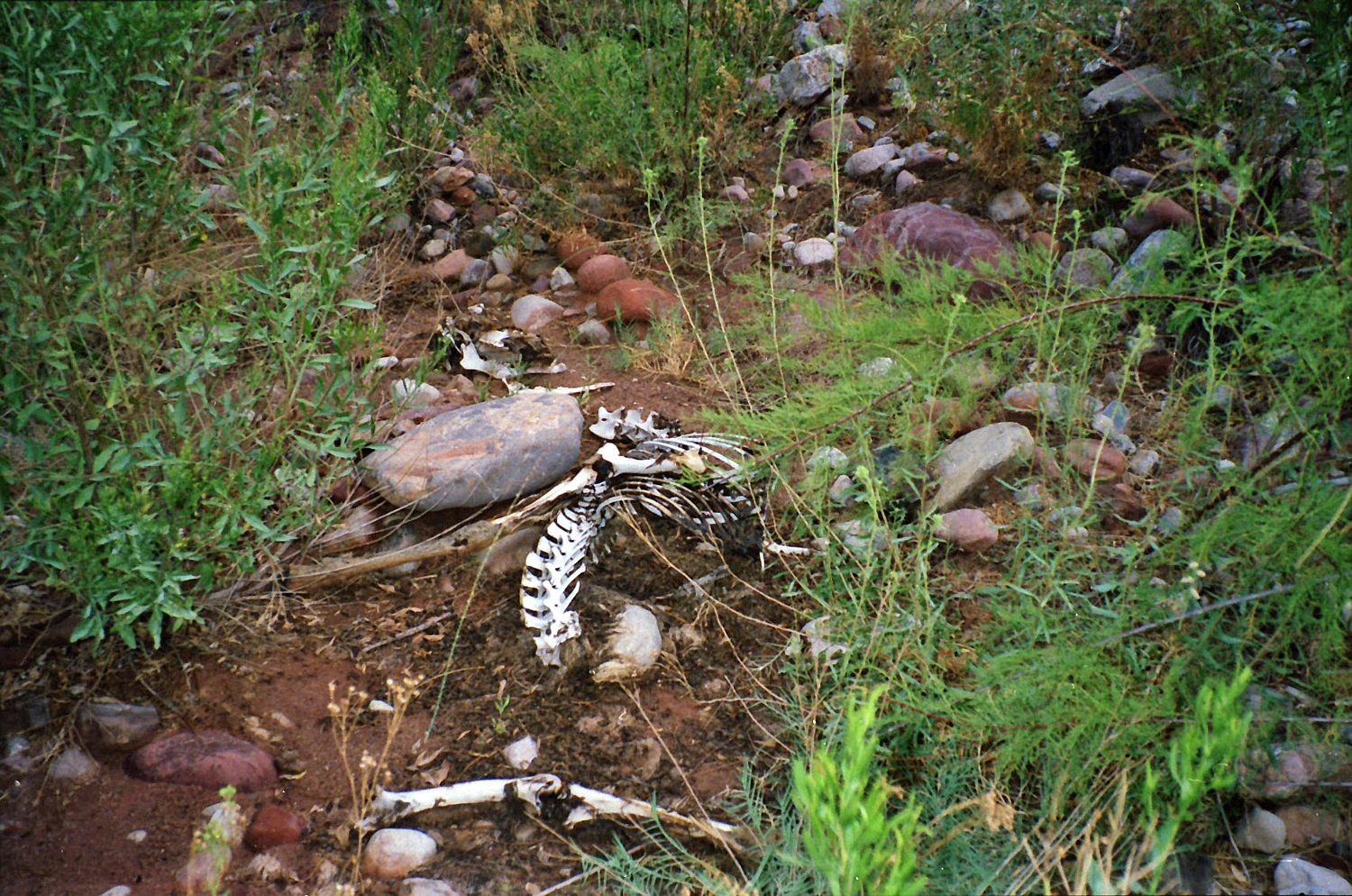 Skeleton. |
 Rockfall in creek (annotated). |
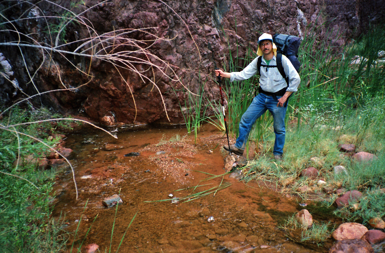
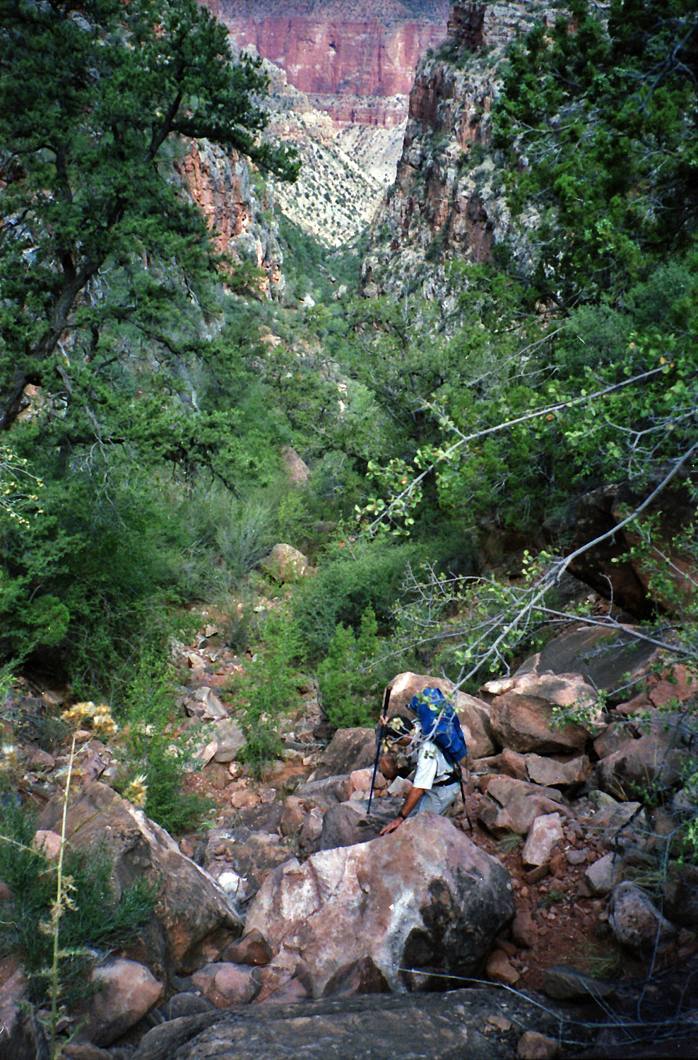
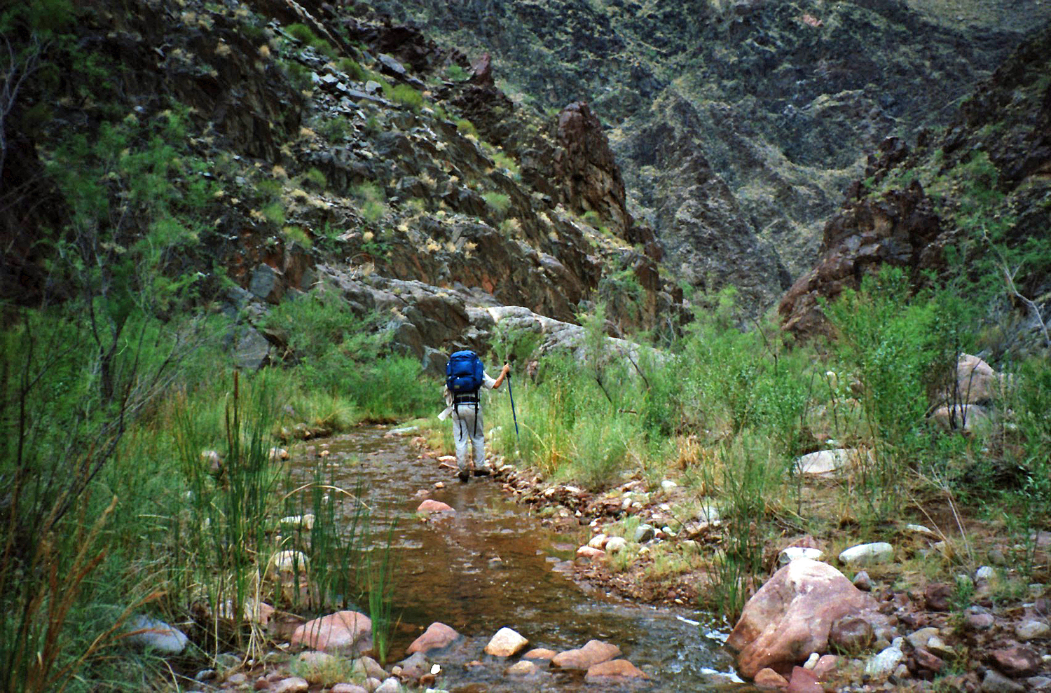 Neil hikes down Crystal. |
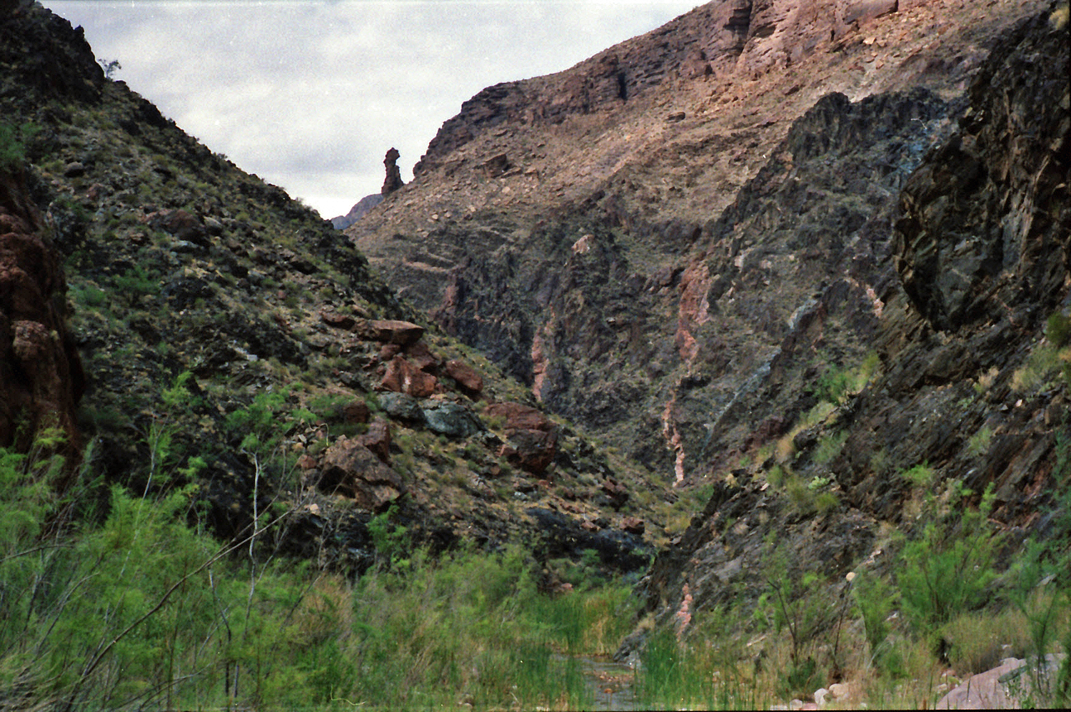 Tower marks exit to the west. |
 At the river. |
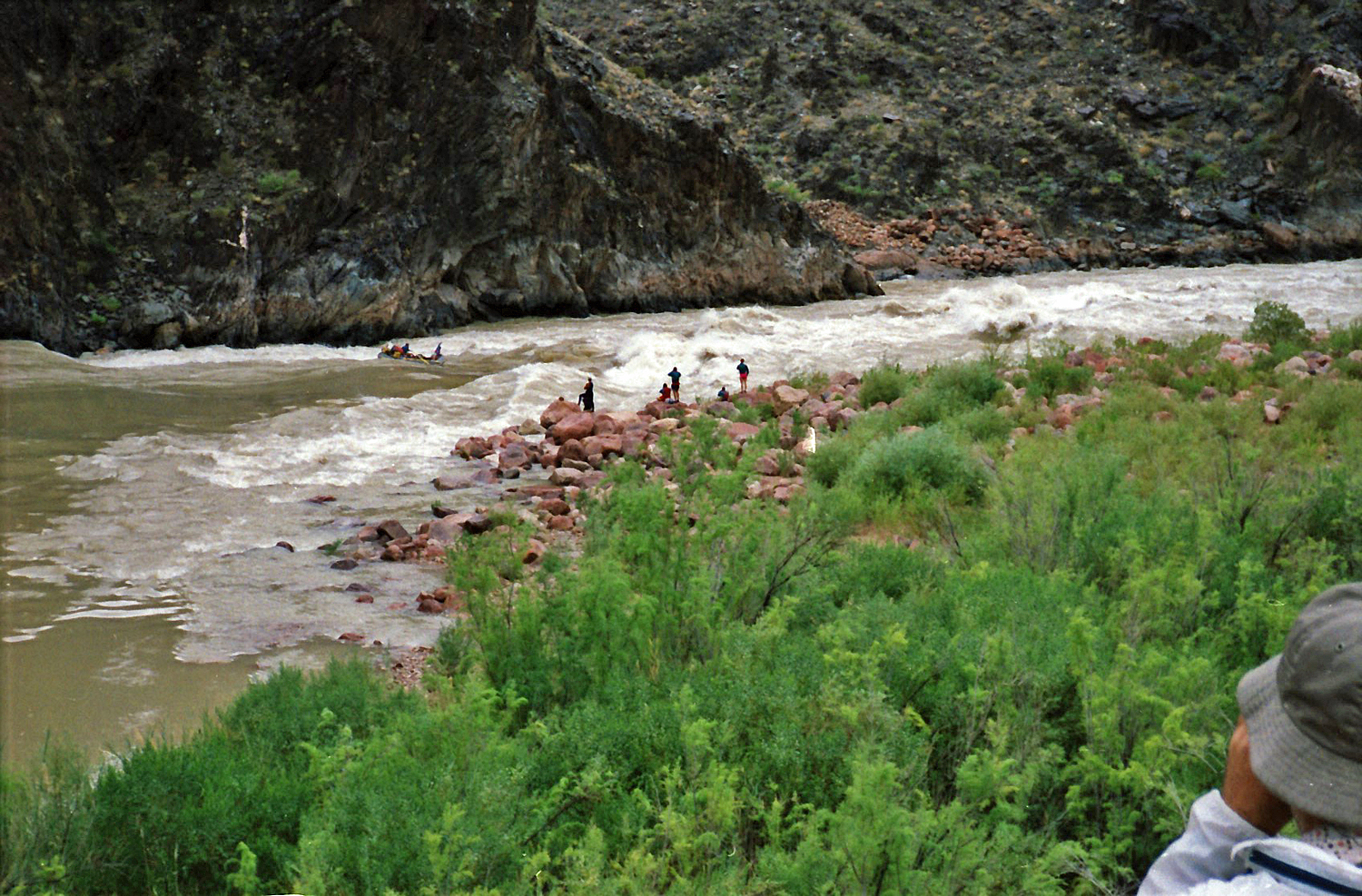 River runners - Crystal Rapids I. |
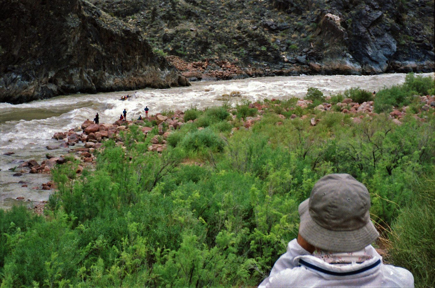 River runners - Crystal Rapids II. |
River runners - close up. |
 Exiting Crystal to the west. |
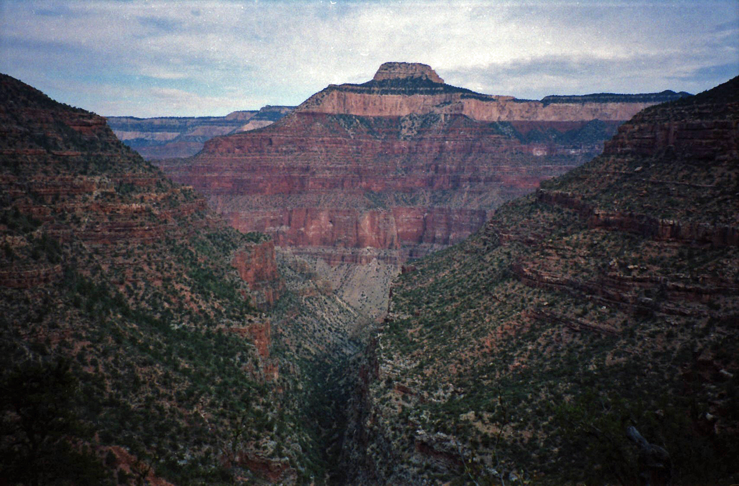
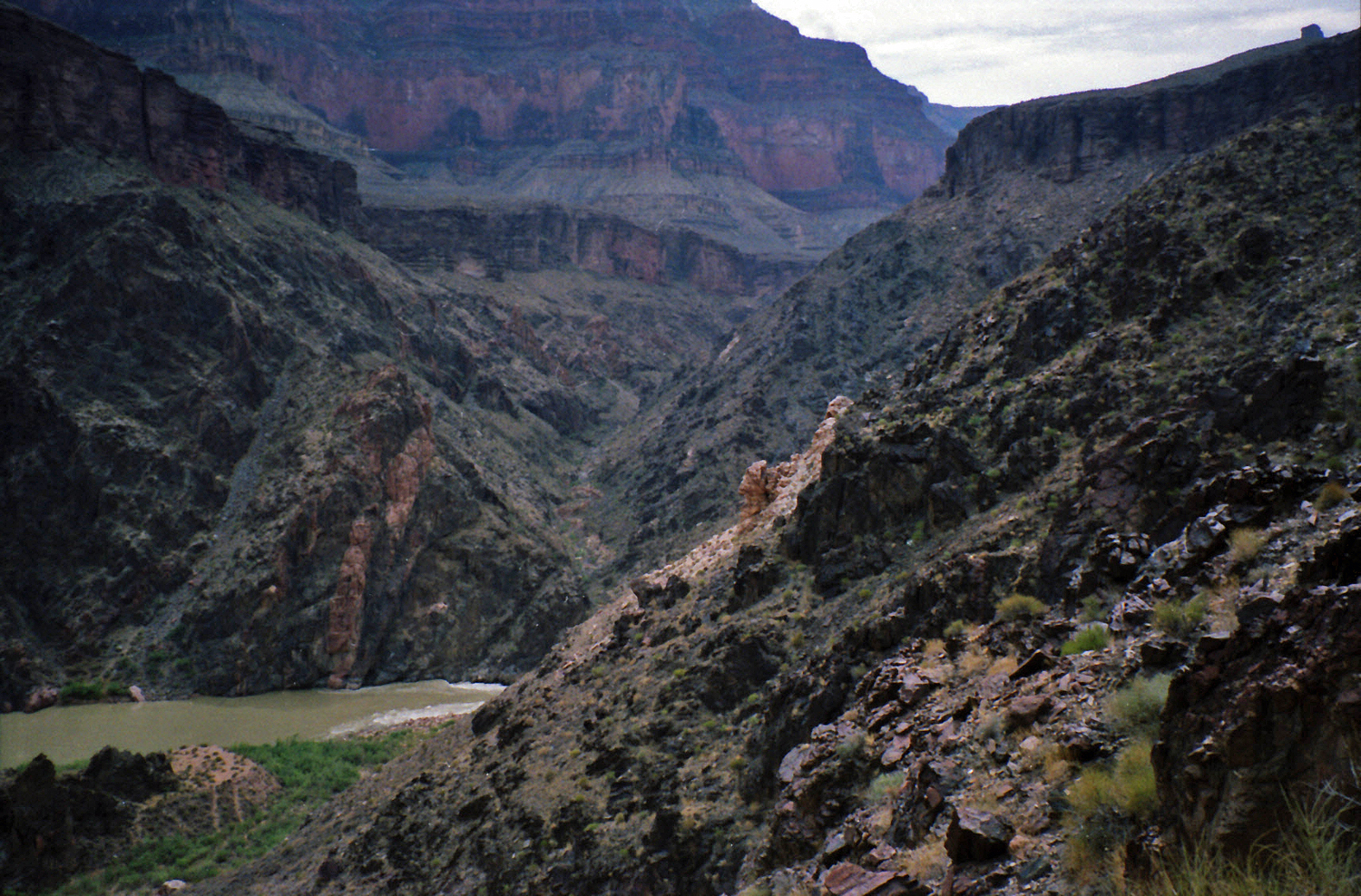 View of the river exiting Crystal. |
 Looking to east exit (annotated). |
 Neil looks over notes on the Tonto. |
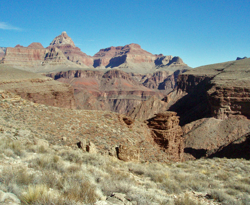
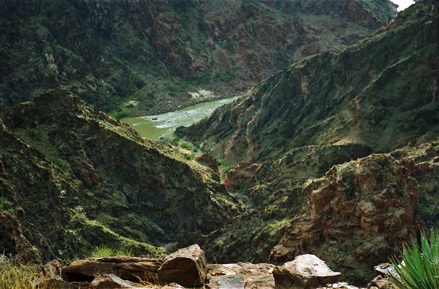 Looking down at Tuna rapids. |
 A shorter way via this saddle? |
|
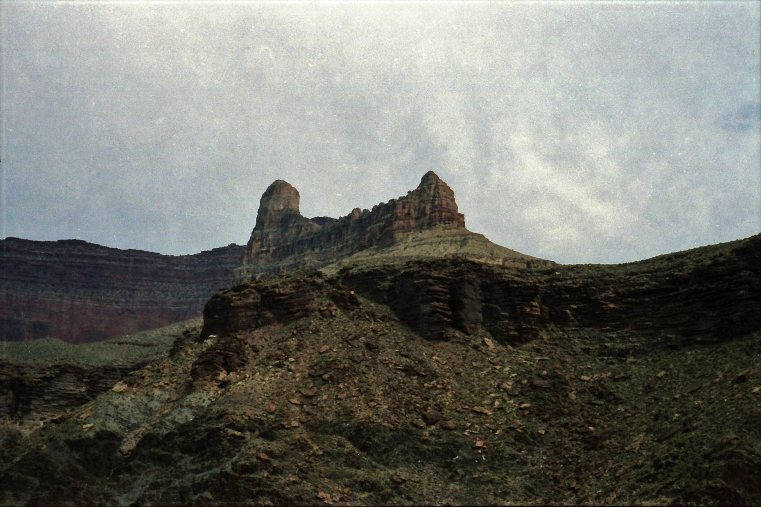
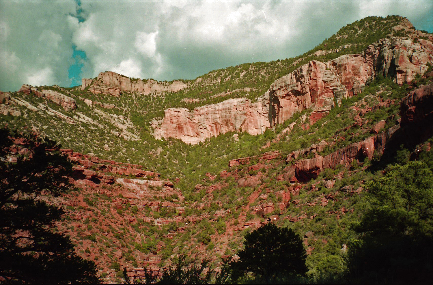
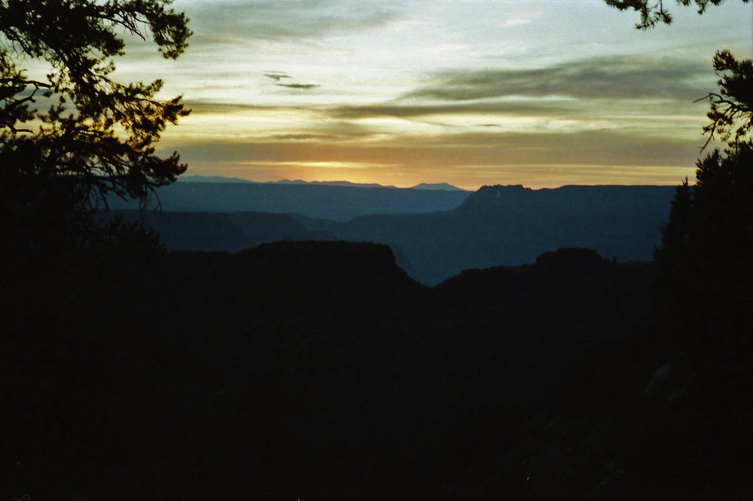
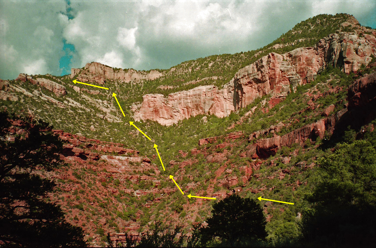
Monday, September 2: 6:30 am to 8:30 am – We had to contour quite a ways up Tuna before getting a chance to climb down. We tried a couple of ravines that lead halfway through the Tapeats, but were eventually cliffed out. One benefit of these dead ends was that we could see water down in Tuna, which we were counting on for resupply. We finally came down into Tuna a bit up the creek from the ravine we wanted to follow up to the saddle with Flint. [In retrospect, our progress across the Tonto would have been much quicker if, from the cairn above Crystal, we had headed for a low saddle at the 3600 ft. level and stayed at this elevation until reaching Tuna.] We headed up this ravine and found a minuscule amount of water running from a seep here (see Steck). We found a shady spot and dropped our packs at around 8:30 am. We then gathered up our water bottles and headed down the bed to find the more reliable source. We spent the better part of an hour and a half getting water before heading up the ravine to the Flint/Tuna saddle. 10 am to 5 pm – We headed up the ravine just as the temperature was starting to heat up. We found the going relatively easy. The first 2 bypasses of Redwall cliffs were obvious and not any problem. The third Redwall bypass was much more thought provoking. This route is on a knob in the middle of the main ravine, with impressive cliffs to both sides. There are two choices – navigate an awfully narrow ledge (complete with a small tree growing at an awkward place) to a slope up through a slot, or climb the knob. We chose to climb the coral-like knob, raising our packs on a rope. This was practically at the top of the Redwall, and from there we could see the top of the Tuna/Flint saddle, about two-thirds of the way up the Supai. We reached this saddle at around 5 pm. 5 pm to 7 pm – From the Tuna/Flint saddle we could see the route through the Supai and the Coconino. The route through the Kaibab appeared to be slightly out of view, further north around the point we could see. There also appeared to be lots of ways through this last layer, south of this point (this area of the rim is NW of Pt. Sublime, west of the Walla Valley, which runs along the rim). But, by the time we had hiked over and up through the Coconino, we were unsure of what we had seen from the saddle! From the saddle, we contoured over to the north and climbed up a ravine through the Supai. The going was fairly rough climbing up the numerous small cliffs here, though we did not find it difficult. Once to the Coconino, there is a slope to follow which is steep, but covered with trees and grasses, and well-traveled by the deer. When we reached the Toroweap, it was about 7 pm and twilight was settling upon us. 7 pm to 10:30 pm – We contoured north around an impressive Kaibab cliff. If we had then found a break up through these cliffs, we would have made it out that night. Instead, we climbed a series of small cliffs, aided by our headlights, though they were becoming more and more feeble as our batteries were run down. Our progress was slow, and the full day of hiking was wearing us down. We reached a spot where we could go no further – we had been cliffed out! We were not in the best of spirits and faced three choices: 1) work our way back down until we could continue contouring to the north and try and find a way to the rim; 2) tie ourselves to something solid and wait until morning; and 3) work our way down until we find a suitable place to spend the night. We picked choice #3 and stopped on a slope in the Toroweap layer at around 10:30 pm. The ground was not level and we spent the night fighting to keep from sliding downhill (no tent this evening!). Our water was almost gone as well. |
|
|
||
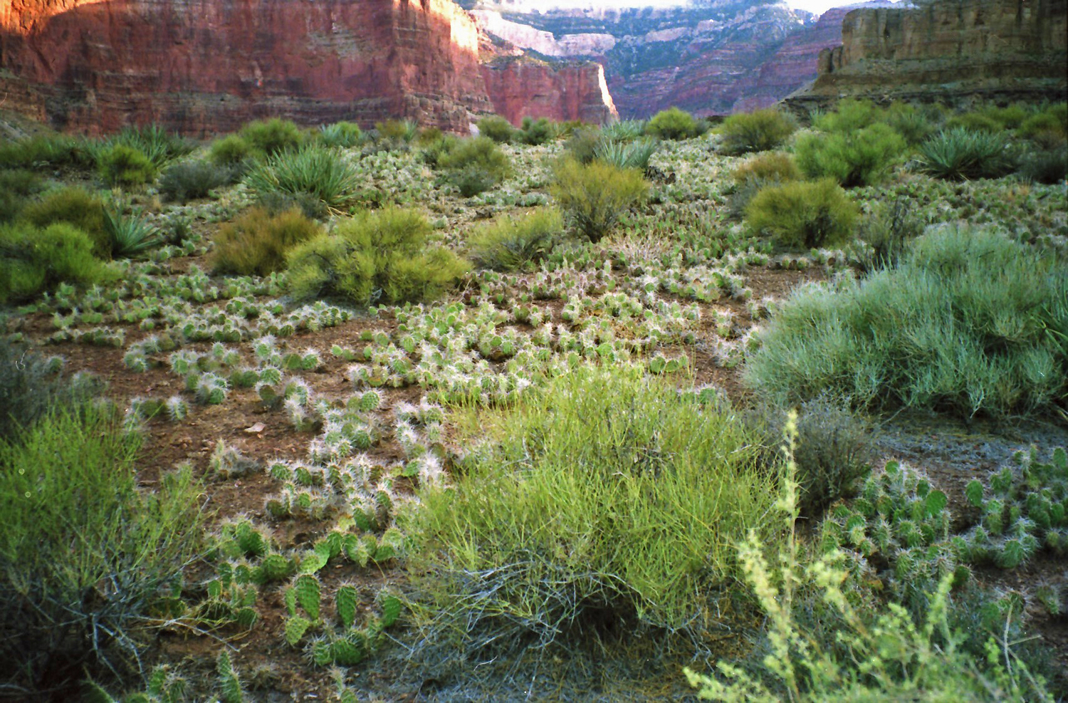 Cactus covering the Tonto Plateau! |
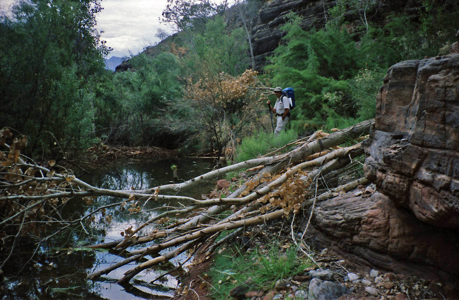
 Neil in Tuna; we had to backtrack. |
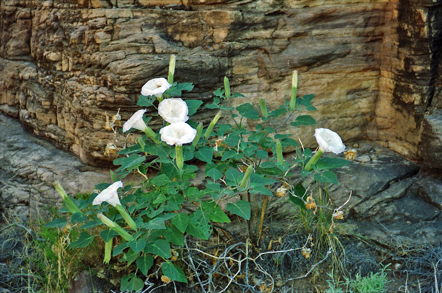 Sacred datura in bloom. |
 Looking up at Pt. Sublime. |
 In ravine to Flint-Tuna saddle. |
 Exit through Coconino (annotated). |
 Neil celebrates reaching the saddle! |
 Looking back at the saddle. |
 Sunset and we have a ways to go. |
|
Tuesday, September 3: 5:30 am to 7:40 am –
Once up and back on the “trail” we found our way to the rim with
relative ease. It took about an 7:40 am to 9:30 am – We worked our way through the forest, heading vaguely north until we finally crossed Walla Valley, reached the road and continued north until we reached our vehicle. This would have taken less time if the vehicle had been parked closer to Pt. Sublime, where we would then have headed due east after reaching the rim. |
|
|
||
|
|
Return to Hiking Grand Canyon home page |
|