|
In April of 2003, John Eastwood and I hiked down the South Kaibab trail and out to the edge of the Tonto Plateau to a spot I have dubbed East Plateau Point. In the account I wrote I noted that we found a break in the Tapeats and followed down a steep ravine until we were cliffed out tantalizingly close to the Bright Angel trail. Consequently, we had to backtrack our way out and put finding this route on our list of things to do later. In February of 2004, we got a chance to check out the route, this time from the bottom. But, it was cold and unusually foggy in the canyon. And, coming down the Bright Angel doesn't really afford one a good view of the bottom section that we needed to get through in order to seal the deal on this route. Still, I got a picture (shown above and repeated below) that I was later able to interpret relative to the route.
The clincher turned out to be something I've done a million times - a
hike to Plateau Point. The real one. I was there in April of
2004, leading a group of our MBA students on a day hike. And
there, right in front of me (well, if you're facing east), you can see
the entirety of this route! I took some photos and later put them
together to map out
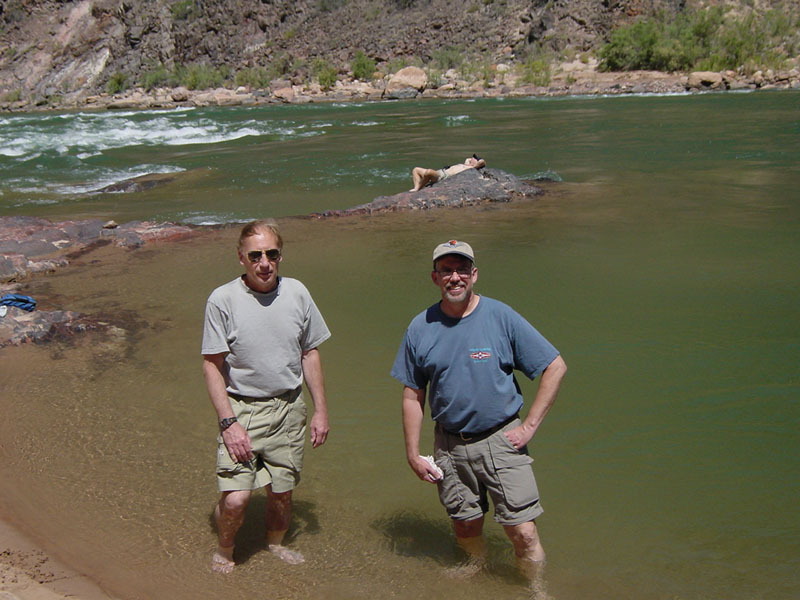
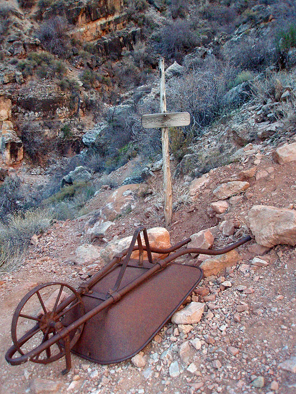
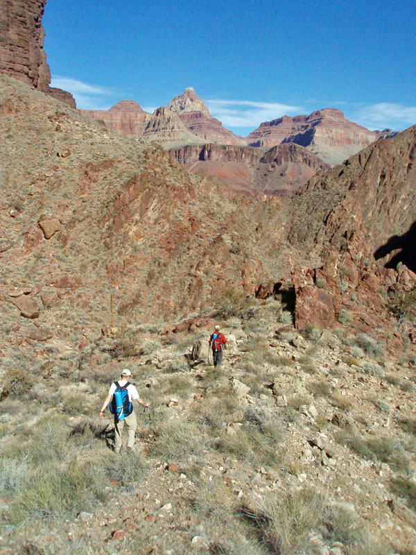
A month later, in May, I hiked down with another colleague, John Haney. He wanted to do a day hike to Phantom Ranch. So, we hiked down to the river on the Bright Angel trail, at Pipe Creek Rapids (that's us standing in the water, to the left). We started from the trailhead at 7 a.m. and reached the river 10:50 a.m., having spent about a half hour at Indian Garden on our way down. At 11:20 a.m. John continued on the River Trail to Phantom while I backtracked up the BA trail to the spot where I determined I could start my climb. It only took me about 15 minutes to get to this spot. The thing about this route that makes it a bit tricky is that you can't follow the dominant ravine all the way down. Where John (Eastwood) and I got stymied, there wasn't any obvious bypass near to us. In fact, John thought we might be able to work our way further upstream and possibly come down to the trail. But, it wasn't a sure thing and looked like a lot of work. So, the key, coming down, is to recognize the spot where you can go up over a ridge to your right, and then follow the relatively easy slope down to the trail. You can see the details in the photos below. |
|
|
||
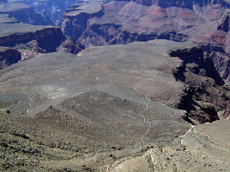
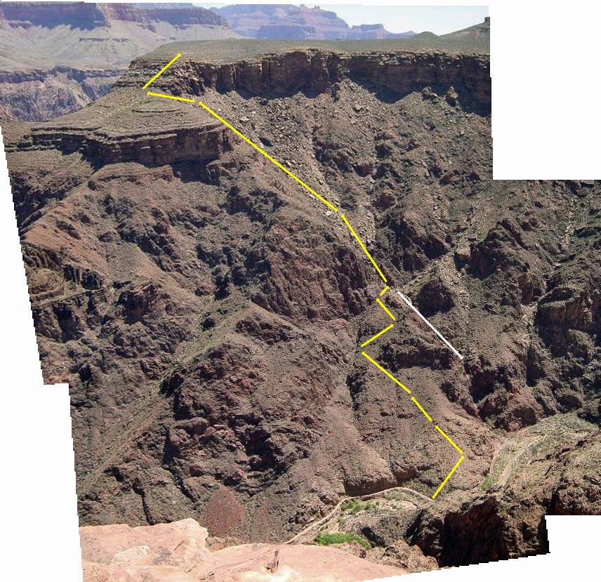
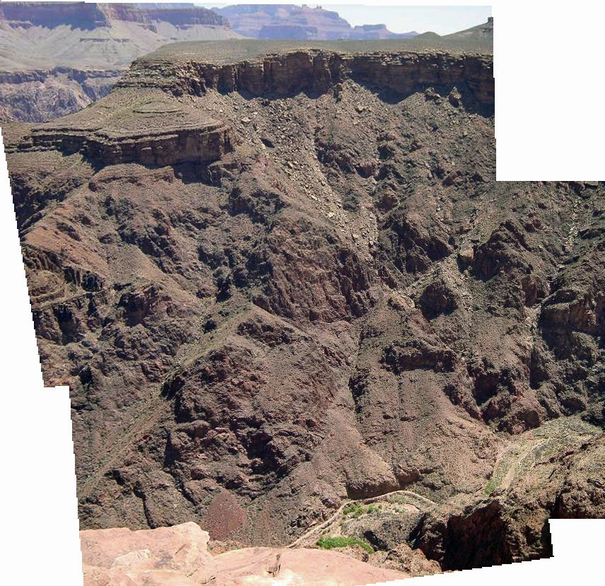
 Here is the full route, as seen from Plateau Point. The white line shows the route we took that ended at a cliff. Click the picture to see a larger image, or click here to see a fuller image and click here to see an image without the annotating lines drawn in. |
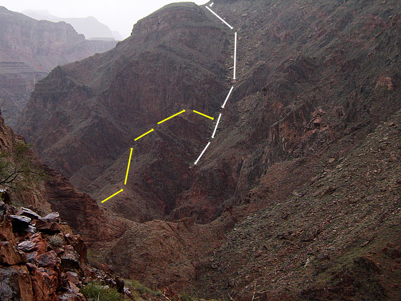 This is the view from February (2004). The white arrows show the route we took down in April (2003) while the yellow arrows show the route up. |
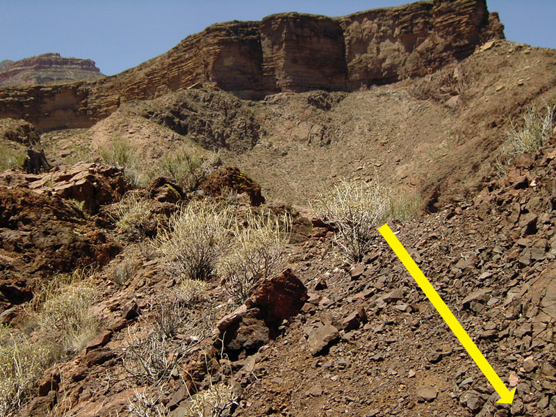 From the slopes below the descent ravine you come up to a small ridge and cross over into the correct ravine quite a bit above the cliff stopper. |
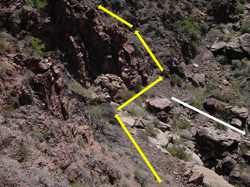 From the ridge, looking into the key junction in the descent ravine. |
 The view from the descent ravine. The BA trail is quite noticeable. |
|
| I climbed up through the route rather quickly. It took about 15 minutes to find my way to the small saddle that led to the big descending ravine. This spot seems a bit more obvious to me after the fact, but at the time I first went down, it is hard to give up on this big ravine. It took only another 20 minutes to reach the top of the Tonto and twenty-five minutes after that I was on the Tonto trail heading to the South Kaibab trail. John Haney and I were able to communicate with each other over some walkie-talkies. I called him once I reached the Tonto and he was already at that level on his way up the South Kaibab. I reached that trail quickly and stopped for lunch at a nice shady overhang well below the Redwall. I reached the top of the Redwall at 3:00 p.m., Cedar Ridge at 4:10 p.m. and the rim at 5:00 p.m. I met up with John there and it took almost an hour to get back to our vehicle at the Bright Angel Lodge on the Park's shuttle bus system. |
|
|
||
 |
 |
 |
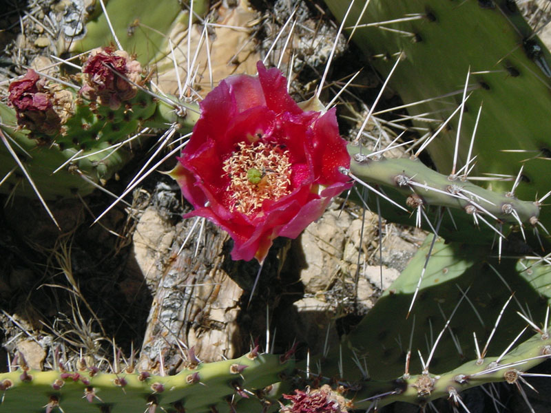
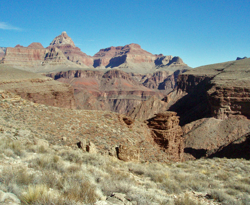
| The view from "East" Plateau Point. | Some cactus were still in bloom. | "East" Plateau Point from So. Kaibab. |
|
|
Return to Hiking Grand Canyon home page |
