 |
|
|
The Garden Creek Ruins Two
nights at Bright Angel, a day hike to Friday - Sunday, October 9 - 11, 2009 by Dennis Foster |
|
|
|
|
|
|
|
The Garden Creek Ruins Two
nights at Bright Angel, a day hike to Friday - Sunday, October 9 - 11, 2009 by Dennis Foster |
|
|
|
|
|
With my class schedule allowing for three, and four, day hikes during
the fall semester, Cara Lynn and I got a permit for two nights at the
Bright Angel Campground. We had three objectives for this hike - a
casual stay at the BA (versus hurried trips which we so often have), a
day trip to cache water and supplies on the Cheops-Isis saddle, and an
extended visit to the ruins along Garden Creek on our way out.
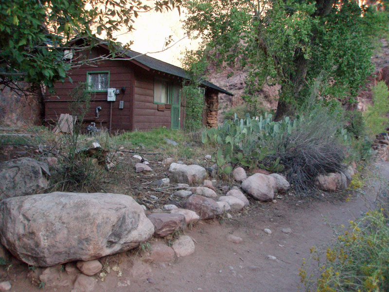
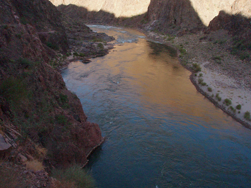
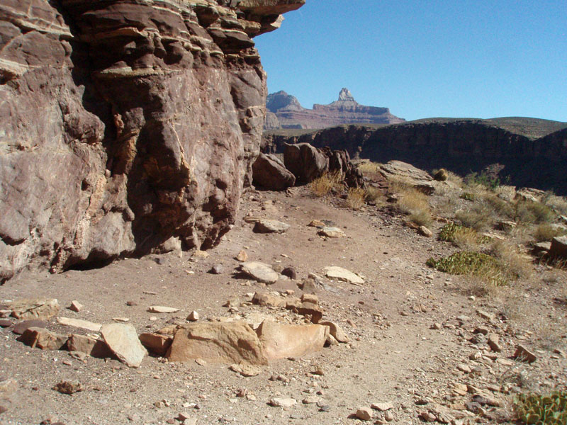
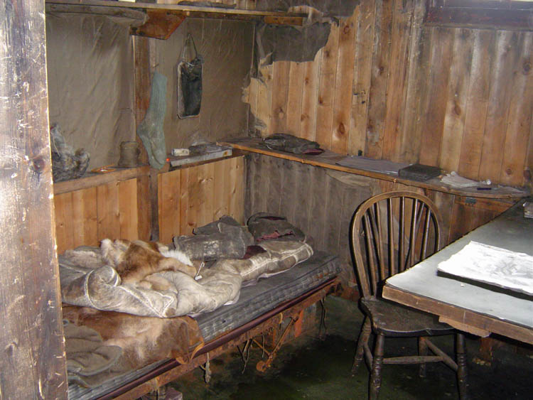
We were up to the South Rim after noon, and spent some time in transit to the South Kaibab trailhead. We didn't head down the trail until almost 4 p.m. Below the Tapeats, we had to use our headlamps. Near the tunnel we scared up two young bighorn sheep. They looked very otherworldly with their eyes spread apart so far and glistening in our lights. We reached the campground at almost 8 p.m. and started at the north end. We took the second spot from the end - it is closer to Phantom and to the route up to Utah Flats. We fixed ourselves a late dinner and then headed over to Phantom to check in for breakfast and dinner the next day. |
|
|
||
 |
 |
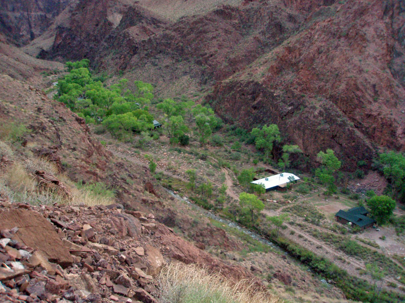 |
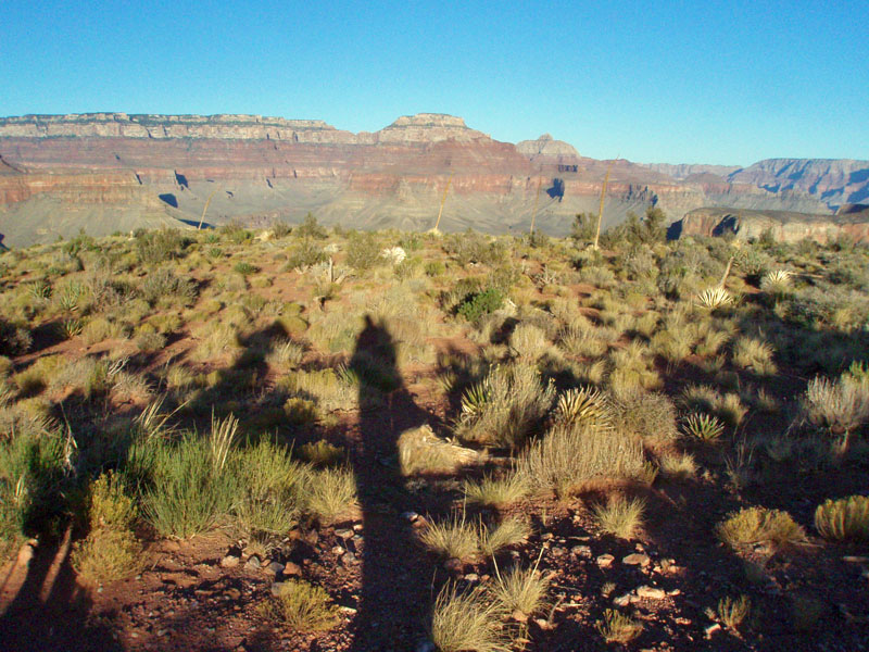
| Down the South Kaibab Trail. | Long shadows atop the Redwall. | Looking down on Phantom Ranch. |
|
We were scheduled for the early breakfast on Saturday morning.
What a treat - hot food, good food, and real chairs to sit on! And, no dishes to
wash! A bit before 7 a.m. I was packed up with a light day pack
for my hike up to Utah Flats and over to the
Cheops-Isis saddle where I would drop some food and water for an
upcoming trip in November. [That trip was to "close the
loop" on my aborted hike from the previous spring, where I hurt my
foot in 94
Mile Canyon.] Cara Lynn kept close to camp and did a loop hike
via the silver bridge and the mule bridge. Along the way, she had
an encounter with a bighorn that didn't seem bothered by her presence.
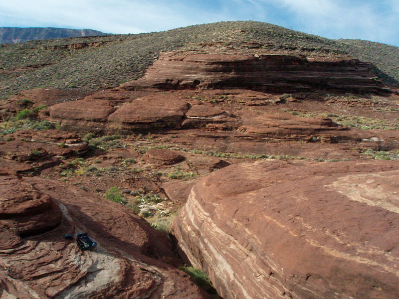
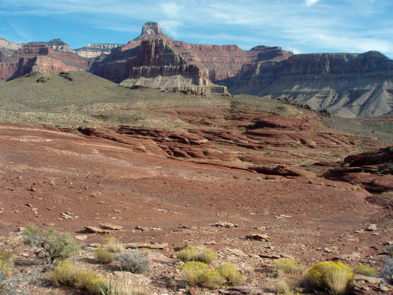
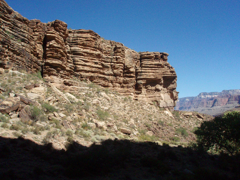
My route from the campground was steep and slushy. But, the route is well-worn and easy enough to follow. There are great views looking back down on Phantom Ranch, as well as across the river and to the South Rim. Near the top of the route, you have to make your way through "piano alley," a ravine filled with giant pieces of Tapeats cliffs. Yes, it does evoke a sense of hiking up and over grand pianos! But, once across the worst of it, there is a break in the cliff that you can climb up through. I fixed up a cairn above this spot to more easily identify it on the way down. Up along the drainage I picked a good spot to cache a couple of bottles of water. [In fact, I left these here after the November hike - we didn't need them.] I followed the route into Phantom Canyon. As I neared the saddle between Cheops and Isis, I climbed up above the major cliff here so that I could contour direct onto the saddle. That was a bit of a mistake. The terrain is steep and loose, and really quite bad in a couple of spots. But, I made it through to the saddle, and found a good site for a cache a couple of hundred yards away. From here, I descended on the "upstream" side of the saddle, which is much better, before catching the route back to Utah Flats. I was back in the campground before 3 p.m. with time to rest up before our steak dinner at the canteen - a first for me. I've always signed up for the Hiker Stew when I could. |
|
|
||
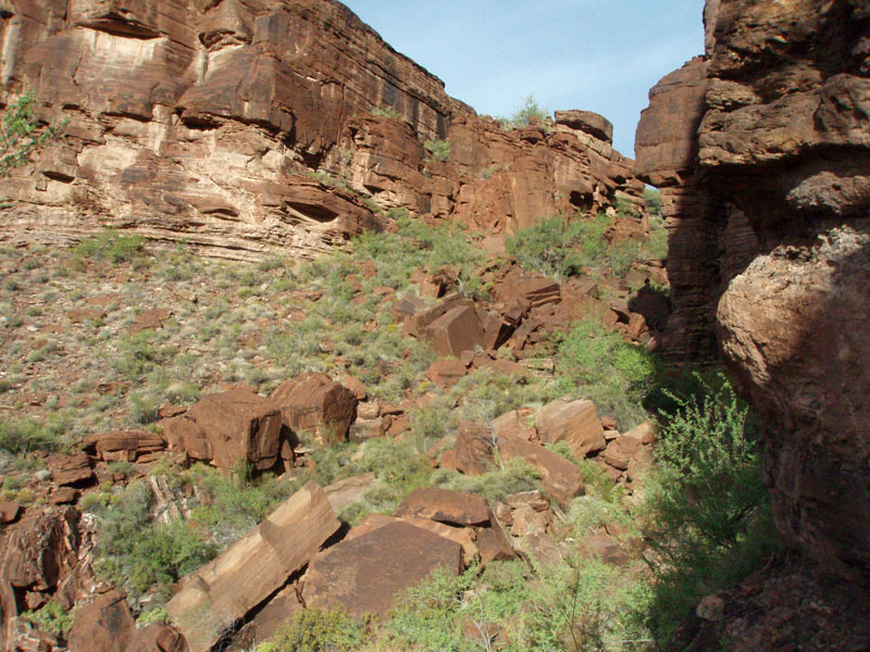 Aptly named "Piano Alley." |
 Cairn marks exit onto Utah Flats. |
 Water cache in Utah Flats. |
|
|
||
 Looking north across Utah Flats. |
 Cheops Temple. |
 South side of Cheops-Isis saddle. |
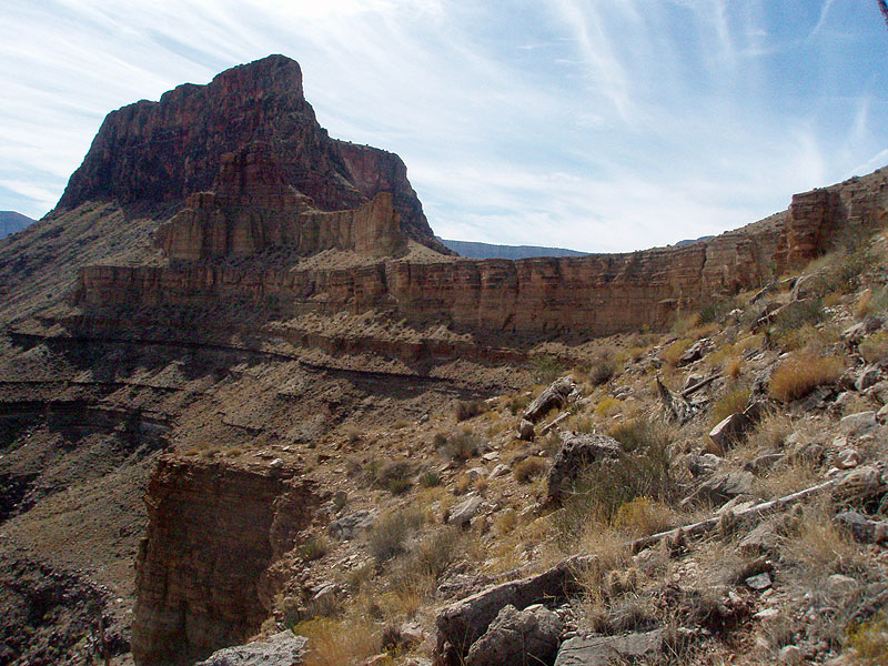
| The next morning, after another excellent breakfast at Phantom Ranch, we packed up and headed out. The deer were out and about - especially many fawns. On our way out we passed an interesting structure - a stone chimney that looked like it once was something much bigger. I'll have to do more research on that. We hiked along the River Trail and saw the new outhouse at Pipe Creek. It's about time! Near to it is the old rest house, and the outdoor patio, with unused fireplace. Hmm . . . I bet there used to be BBQs here in the old days! We continued on up the trail heading for our next objective. |
|
|
||
 Lower campground bridge. |
 River Ranger Station. |
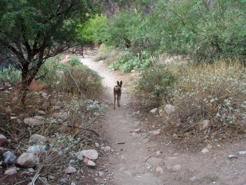 Fawn leads us along trail. |
|
|
||
 Chimney structure near NPS corral. |
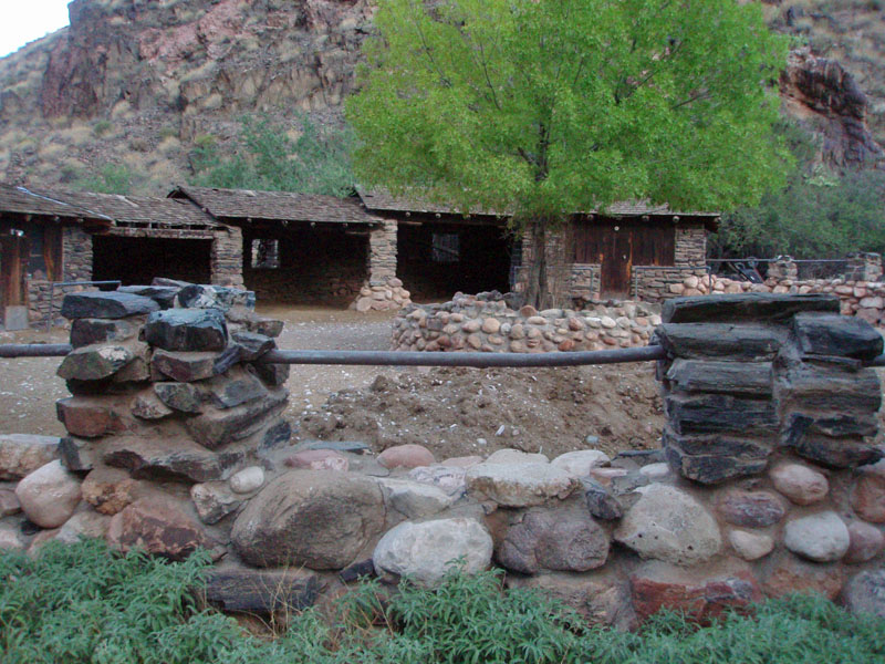 The NPS corral. |
 Above river near Pipe Creek. |
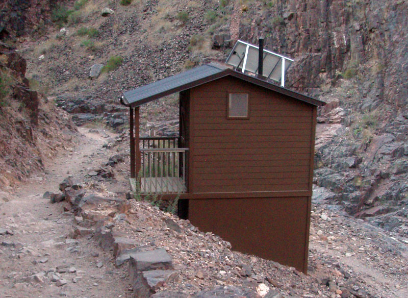 New outhouse at Pipe Creek. |
 Old rest house at Pipe Creek. |
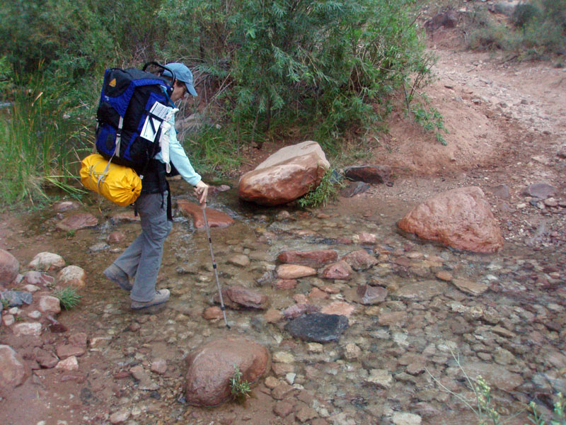 Cara Lynn crosses Pipe Creek. |
|
Once the trail brings you up above the "Devil's Corkscrew,"
you contour above Pipe Creek and over a saddle into Garden Creek (which
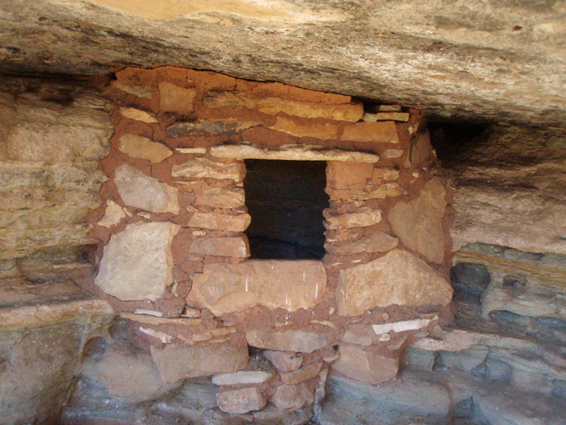
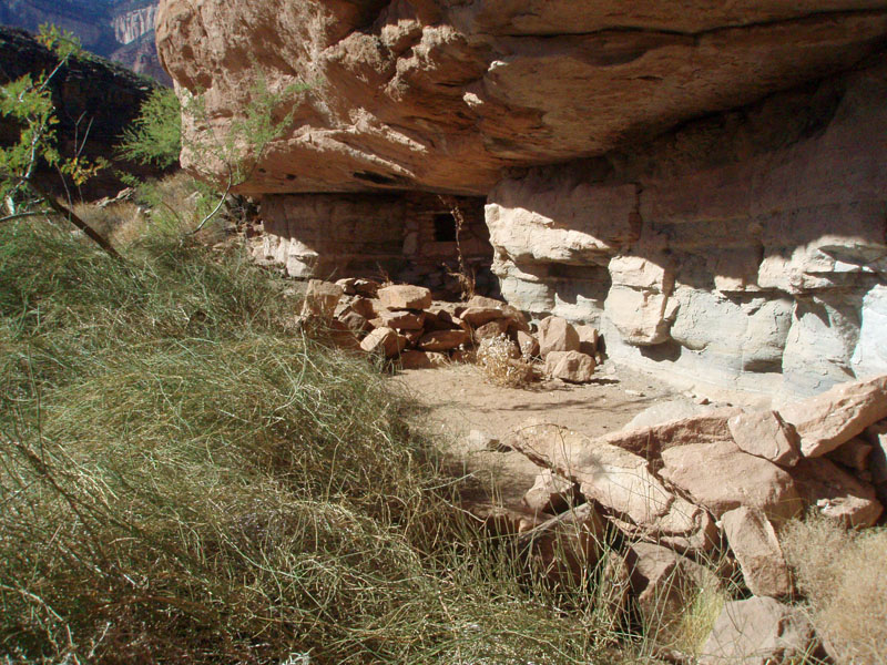
takes you all the way up to Indian Garden). The ruins here are on
the west side of the creek and at the base of the Tapeats, a little to
the south from where Plateau Point is. From a flat hilltop near
the ruins are great views - Zoroaster and the rim to the north, and the
Bright Angel fault and rim to the south.
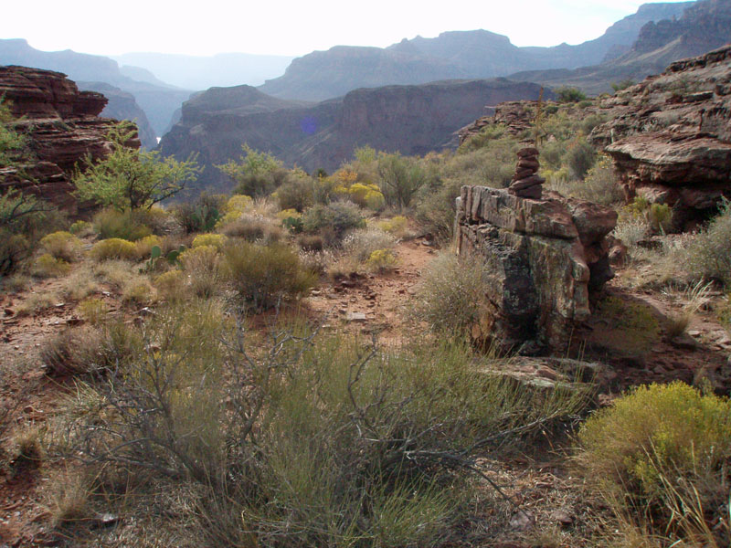
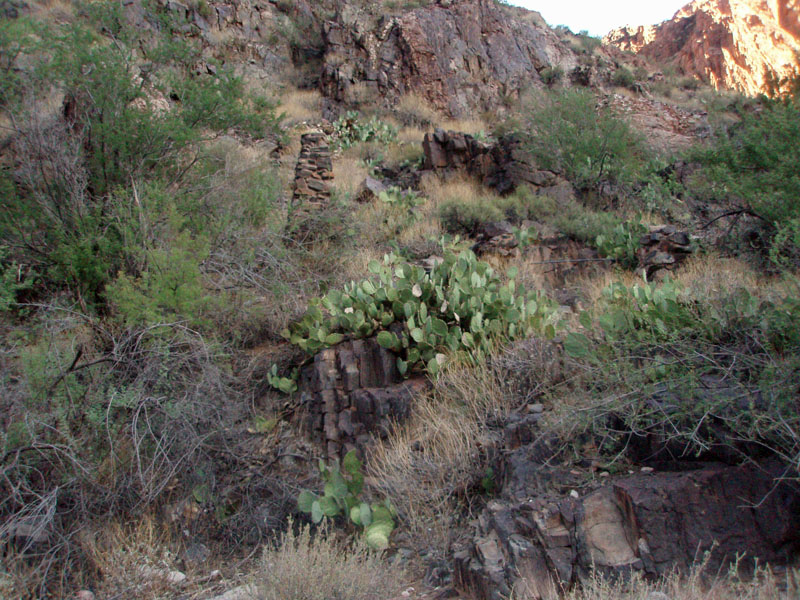
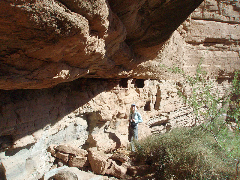
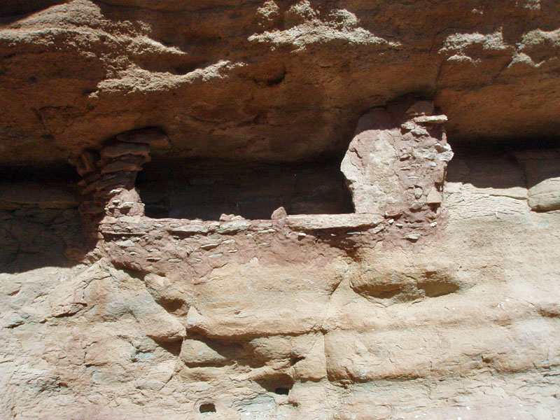
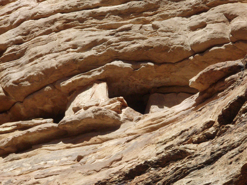
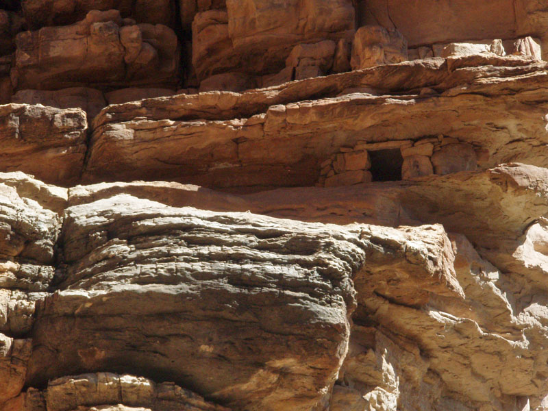
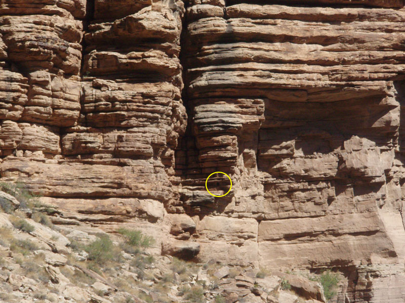
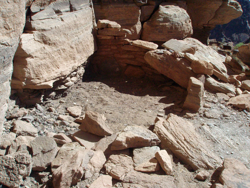
According to Harvey Butchart's book, there used to be a sign here directing tourists to this ruin. But, that was long ago. In fact, it may have directed hikers over from the next canyon/ravine to the east. The original trail didn't come down Garden Creek. Instead, it climbed up onto the Tonto and descended into the next canyon. You can still see remains of this old trail and the old phone lines that followed it. In this canyon are a few ruins which I have yet to spend time at. But, from the ruins in Garden Creek I could see down to the BA trail and see a residual trail looping around into this next canyon (see photo below). Hmm . . . I suspect that this route leads to those other ruins and connects up to this site in a meaningful way. We had to cross Garden Creek briefly as we trekked up the canyon and took advantage of that opportunity to drop our packs and head up the hill beside us. That took us right to the spot. The main ruin is a nice intact room nestled under a ledge. I had been here only once before - back in the 1980s. It didn't look any different, but I'll have to dig up pictures to make a better comparison. Back then, I didn't have time to scout around. This time, we did. And, we found a number of granaries along the walls - some quite intact, and other mostly gone. One interesting granary is on a high ledge, which we could still see when we were back on the trial (also pictured below). |
|
|
||
|
|
||
|
|
||
|
|
||
|
|
||
|
|
||
| It was a pleasant hour that we spent here, nosing around. Then, it was back to the trail and up to Indian Garden for a break. Then, on up to the top of the Bright Angel. We topped out at about 4:30 p.m. with our vehicle parked nearby. |
|
|
||
|
|
Return to Hiking Grand Canyon home page |
|

