|
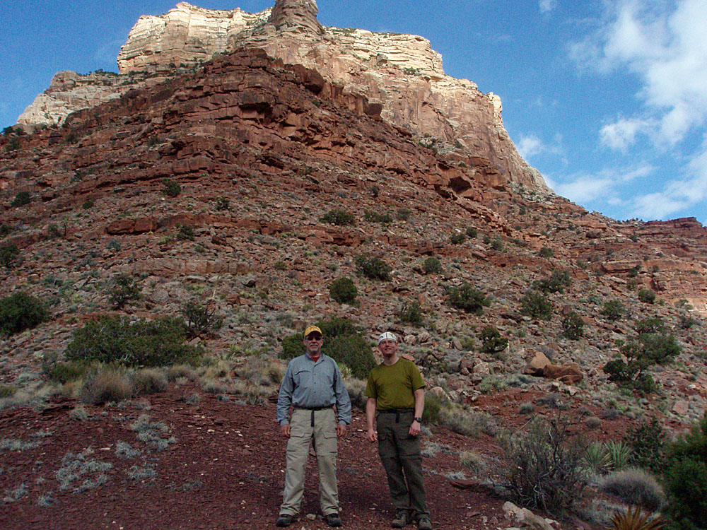
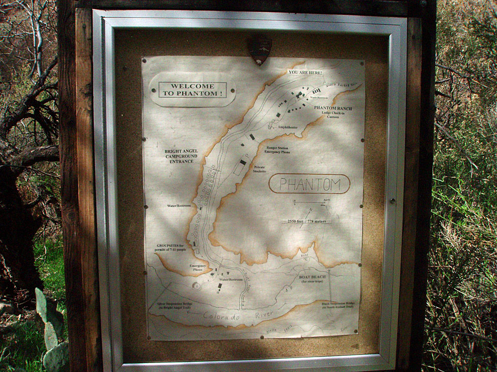
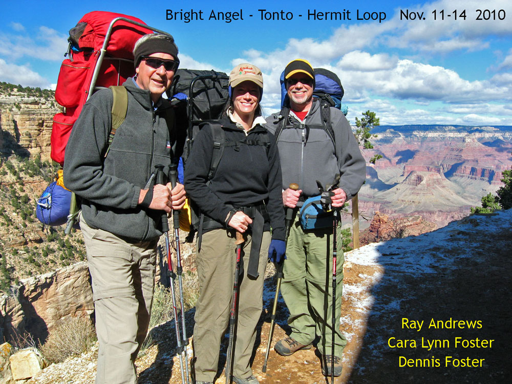
As I write this (June 2014) I can't believe that more than four years have passed since this hike and the accident that nearly finished (at least one of) us off, and I mean that in a terminal fashion. Although my hiking partner, Bill Ferris, and I both penned stories for the Arizona Daily Sun in the aftermath (his and mine), and Bill wrote his own trip report and had an additional story appear later in Backpacker magazine, I hadn't taken the time to really put together the photos and my record in a much fuller manner. But, just a couple of weeks ago I met up with a reporter for the local NPR station who interviewed me (and Bill earlier) about this hike for a story she called Close Calls, which was aired about a week ago. That got me to reviewing my photos and realizing that I hadn't yet posted up a trip report. Until now... In October of 2007, the Grand Canyon Backpackers and Hikers Association sponsored their second Hiker Symposium up at the Grand Canyon. I don't recall how I came to find out about this, but it was a fantastic experience - in all the years since I first set foot on the Bright Angel trail in 1979 I can't remember ever sitting around and talking about Grand Canyon hiking adventures with more than two, or three, other people at any one time. And, here, there were a couple hundred enthusiasts talking about just a few of their varied experiences. Among them was Sally Underwood, who described a high route atop the Redwall between Clear Creek and Vishnu. I had covered that stretch at least five times before, but always along the slow and tedious Tonto Plateau. I had no idea about this high route and was instantly thinking about how I could use it for a hike. Fast forward two and a half years and it is time to check this out. With hiking buddy Bill Ferris, we planned a trip during my spring break, using this route to get to Asbestos Canyon for a couple of days of intensive poking around. I had spent some time there in 1981 and passed through in 1993. This is where John Hance had his major mining operation. But using the Tonto Plateau route requires a stiff 3.5 day hike. [In my youth, maybe 2.75 days.] So, you burn up a whole week just in getting there and back again. Just to get one whole day in Asbestos would require an eight day hike. These days, I've heard of people hitching a ride across the Colorado River, and that means you could get to Asbestos in one day. But, I'd feel uncomfortable doing that unless it was arranged in advance. So, using the high route between Clear Creek and Vishnu it looked like you could cover this ground more quickly and have more time to explore, which is what we were hoping for on this nine day hike.
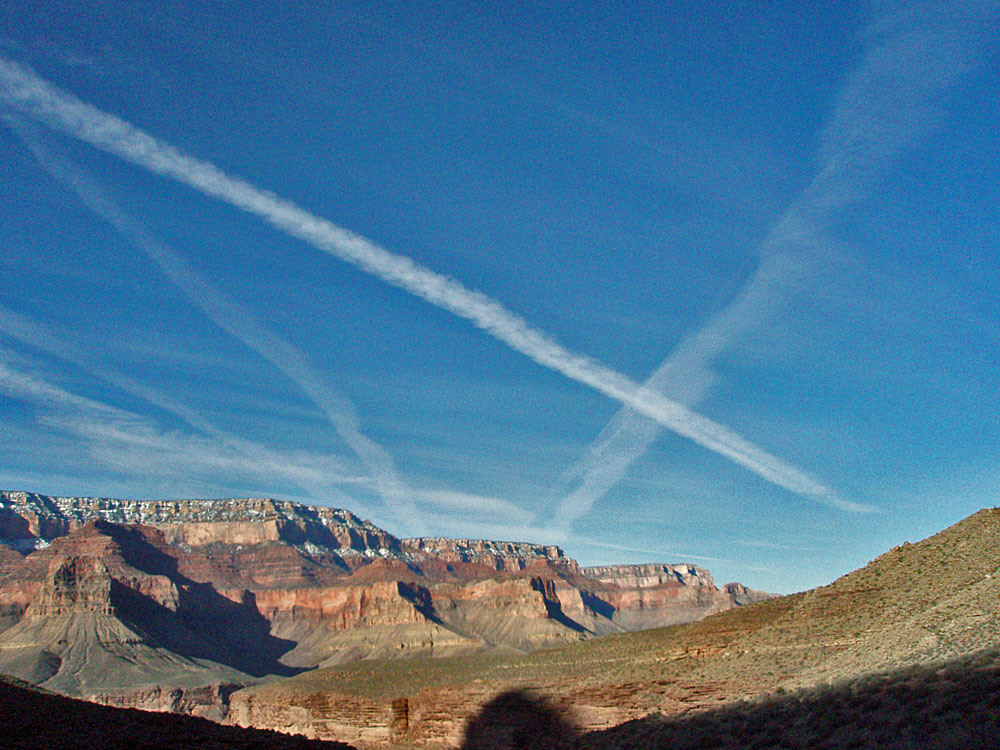
Day 1 - Down the South Kaibab
Trail (Friday, March 12) - We weren't in any particular
rush to get started on this hike as our first night would be at the
Bright Angel campground. We were parked up at the Visitor's Center
and on the bus to the trailhead by a quarter to eleven and started down
the trail at 11 a.m. No real concerns about the heat, as there was
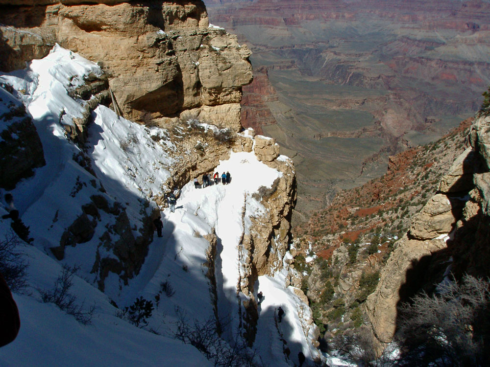
snow all the way down to Cedar Ridge. We wore our Kahtoolas and
cached them just below Cedar Ridge at 12 noon. By 12:45 p.m. we were
atop the Redwall, overlooking the Colorado River and having our lunch.
A half hour later we were on our way. We crossed the Tonto at 2
p.m.
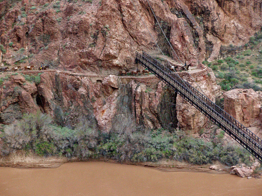
and were on the black bridge by 3:15 p.m. By 3:30 p.m. we were at a
spot in the campground. |
|
|
||
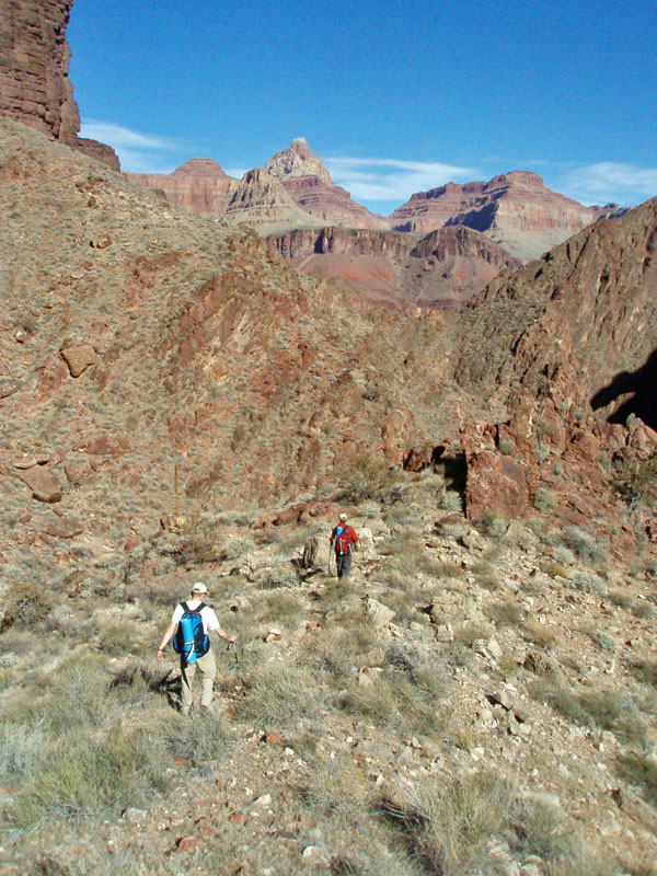
 Snowy switchbacks on So. Kaibab. |
 Snow at Cedar Ridge. |
 Bill straddles the main trail and its muddy puddles now that we are below the snow. Zoroaster Temple and Brahma Temple loom over the background. |
 Snowy north rim from So. Kaibab. |
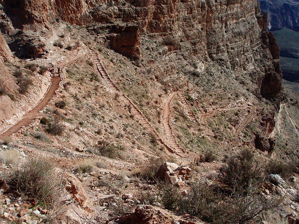
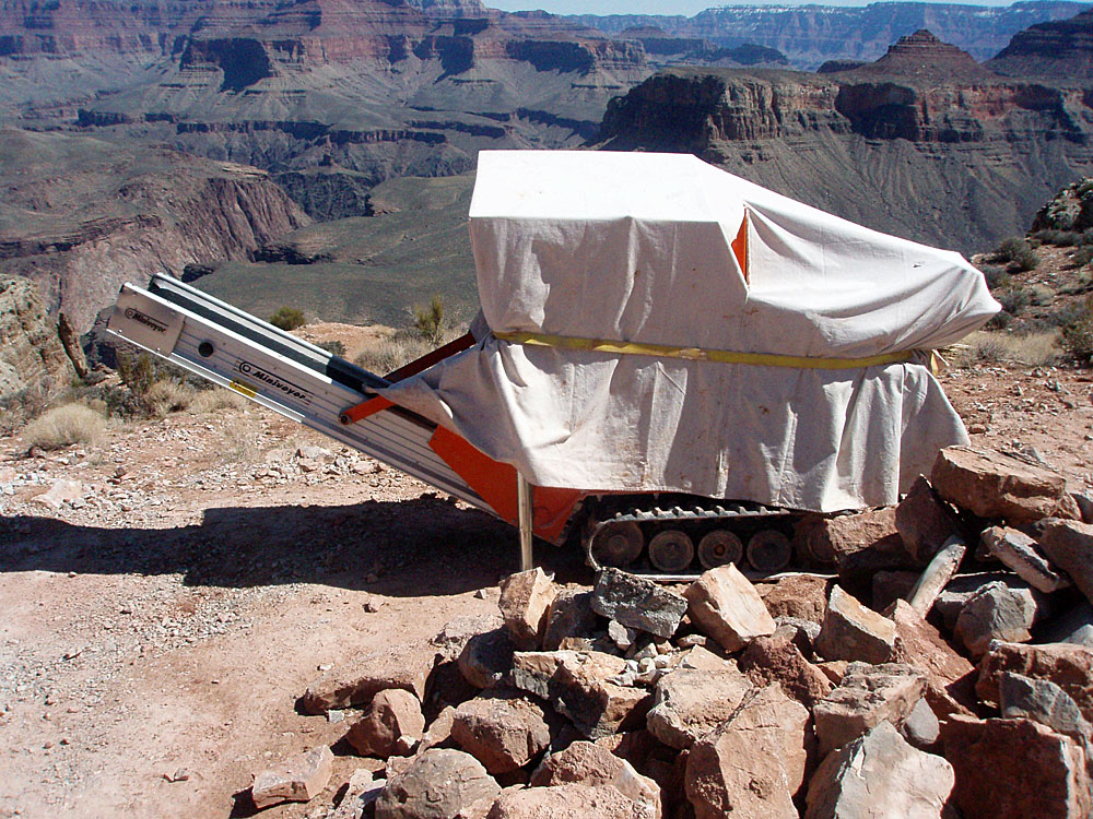 Machine for trail improvements. |
|
|
|
||
 Trail work in the Redwall. |
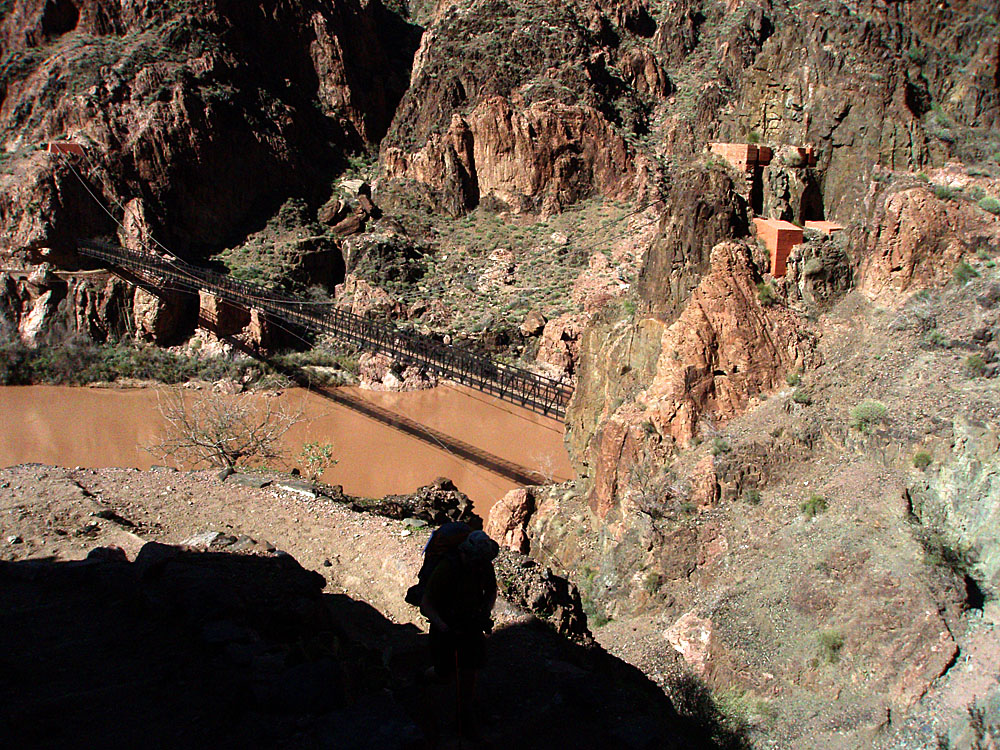 The black bridge. |
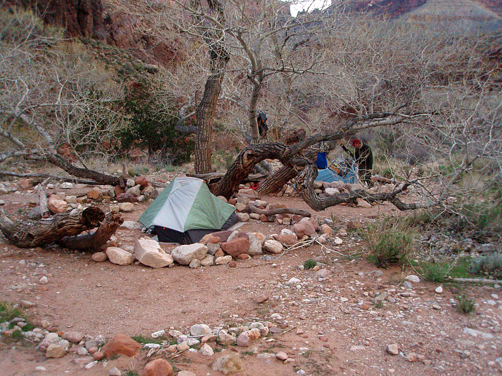
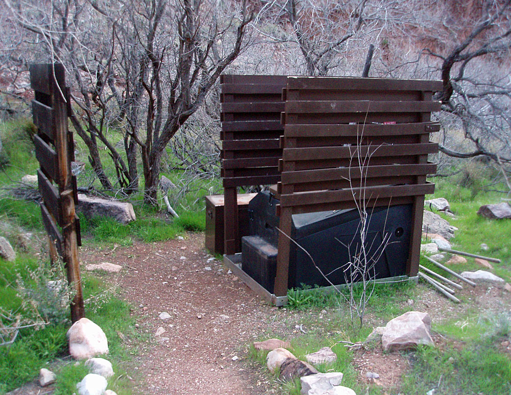
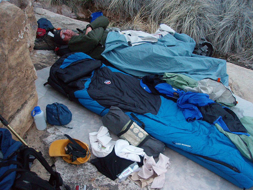
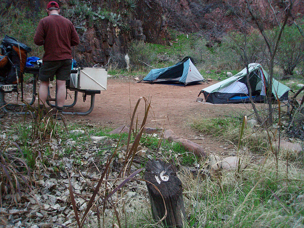 Our campsite at the BA. |
|
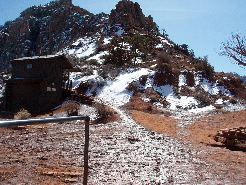
Day 2 - To Clear Creek (Saturday,
March 13) - We
were up while it was still dark as we had been able to sign on for the early breakfast, at
5:30 a.m. There was a lot of condensation on the tent and the
ground cloth was quite wet and muddy. Yeech - it's never fun to pack up
damp stuff. By 8 a.m. we were on the trail. Twenty minutes
later we were at the Clear Creek junction and we reached the Tonto level
at 10 a.m. There we took a half hour break before starting the
miles and miles of trail that winds around Zoroaster and Brahma Temples
before dropping down into Clear Creek. |
|
|
||
 BA Creek and campground. |
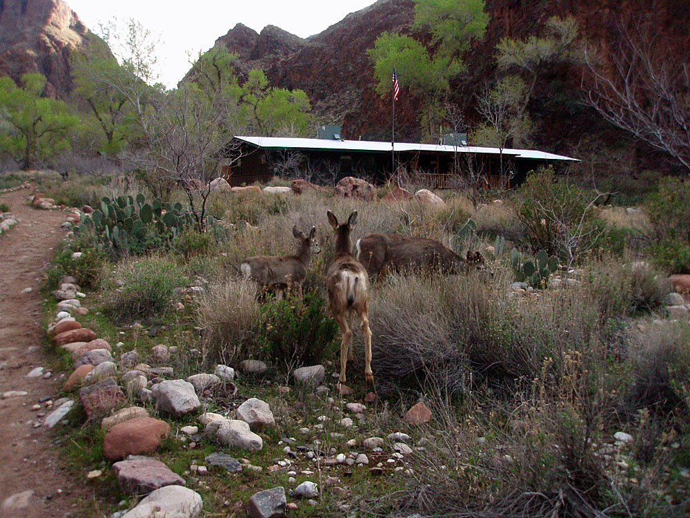 Deer at the ranger station. |
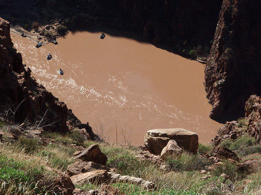 River runners from CC trail. |
 The descent into Clear Creek. |
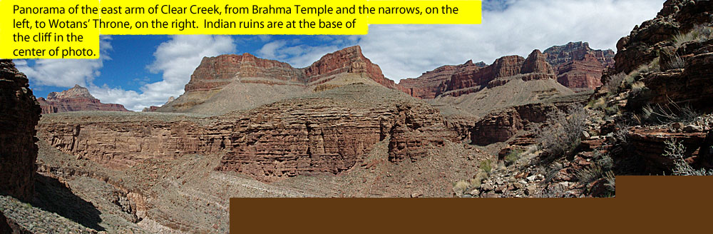
 East to Wotans and Angels Gate. |
 Our camp in Clear Creek. |
|
Day 3: Pt. 1 - The ruins in the
east arm of Clear Creek (Sunday, March 14) - Although we
weren't on our way until 9:20 a.m., it was at first light in our neck of
the canyon. Fleece caps and jackets were the norm for our early
mornings. It only took us twenty minutes to reach the junction
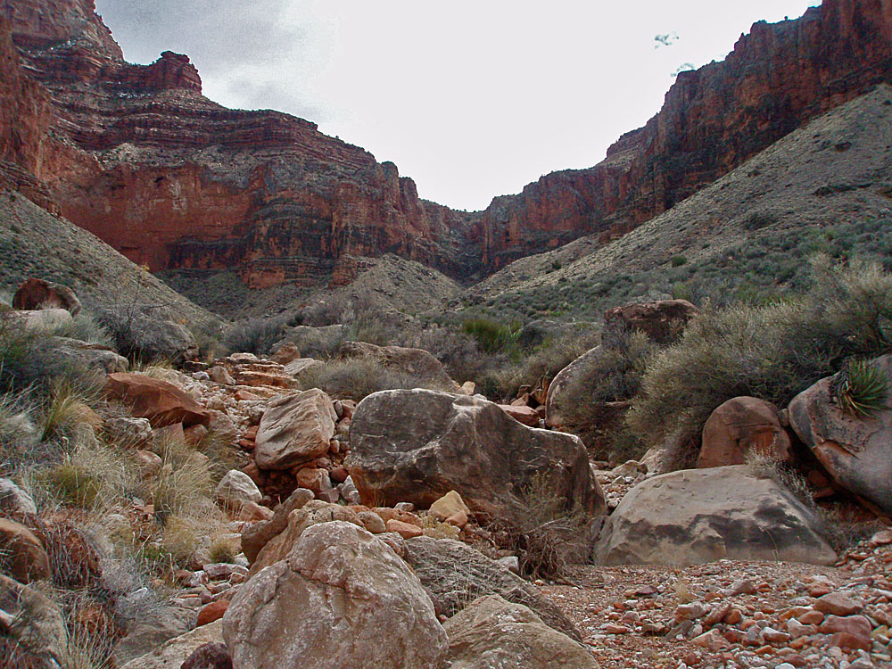
with the so-called "east arm of Clear Creek." It had some water
flowing which indicates how wet things were around here this year.
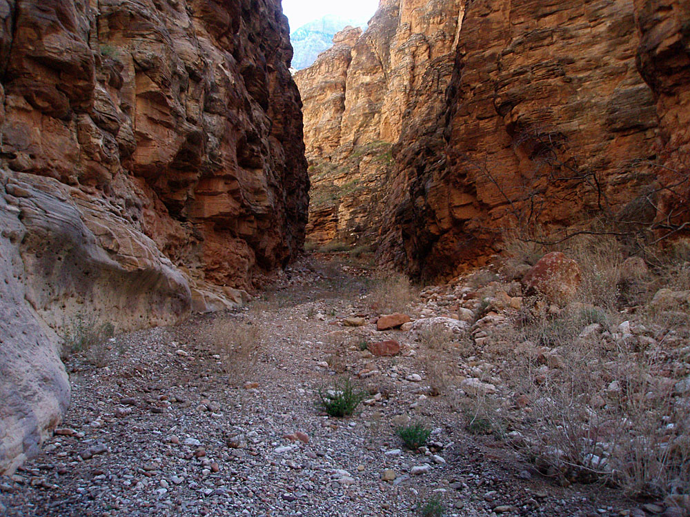
Walking up the bed you get flanked by towering cliffs and enter a
narrows that must be chaos when it rains. |
|
|
||
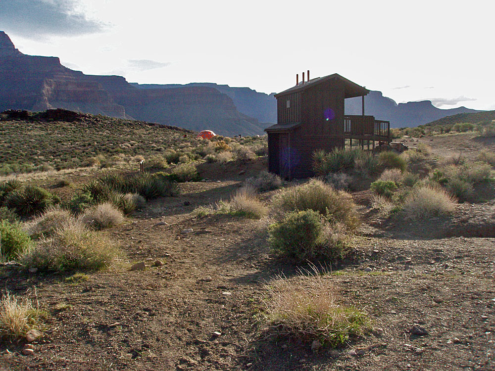
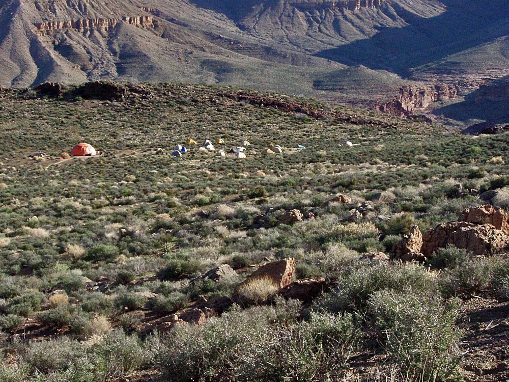
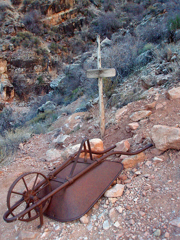
 The Clear Creek facility. |
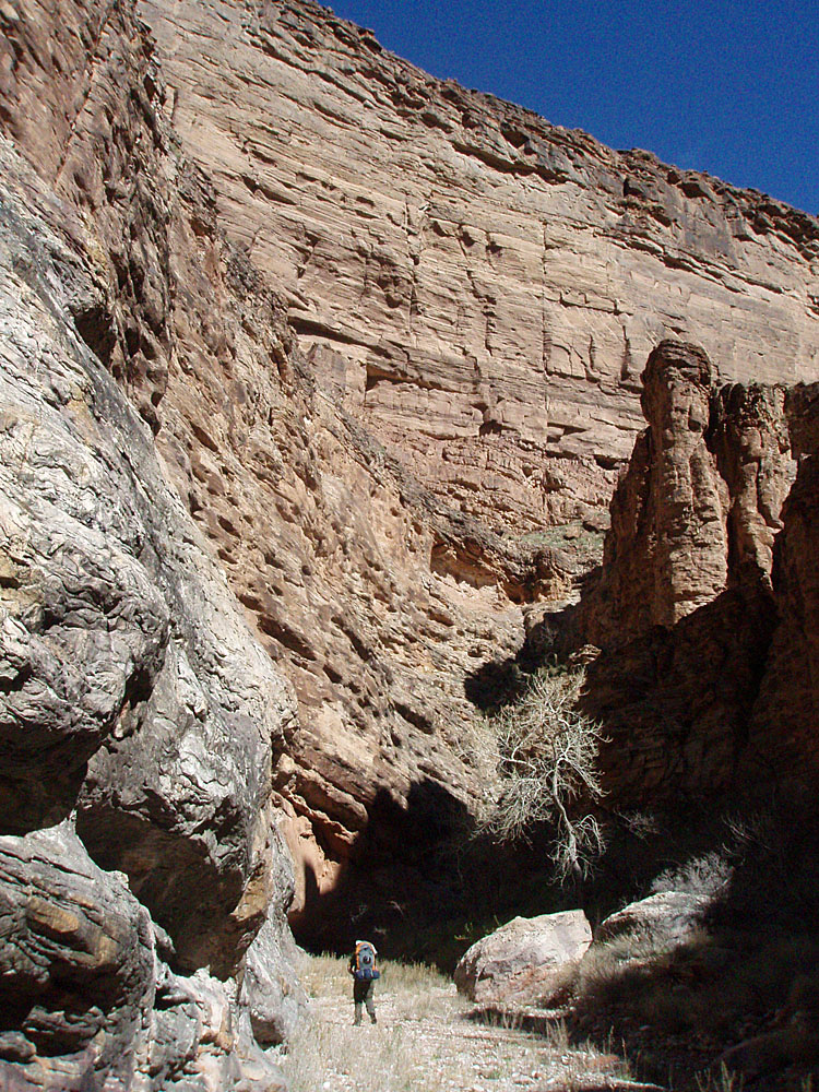 Bill heads up the increasingly narrow east arm of Clear Creek. The small trickle at the junction with the main arm soon gave out until we passed through these narrows. |
 Water flowing at exit route. |
 The narrows of the east arm of CC. |
 Annotated (or not) exit route to the SE. |
|
|
Ruins in the east arm of Clear Creek |
||
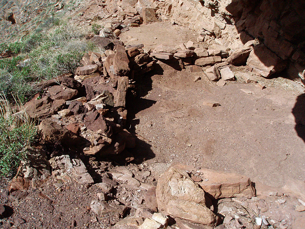 Terraced room outlines. |
 A remaining wall. |
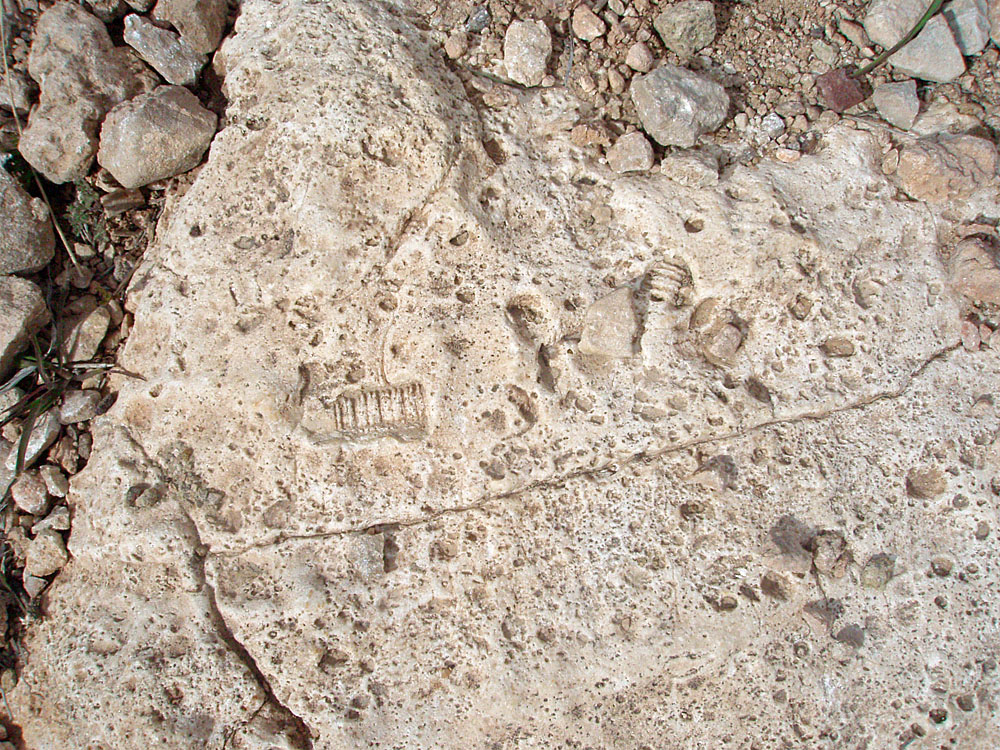
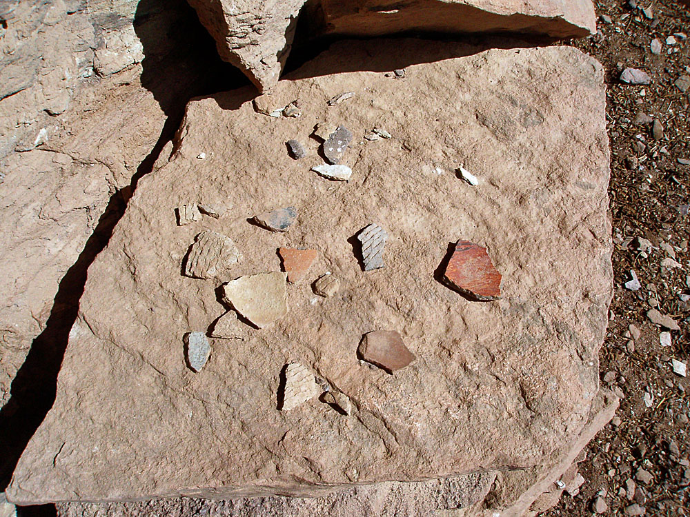 Pottery shards. |
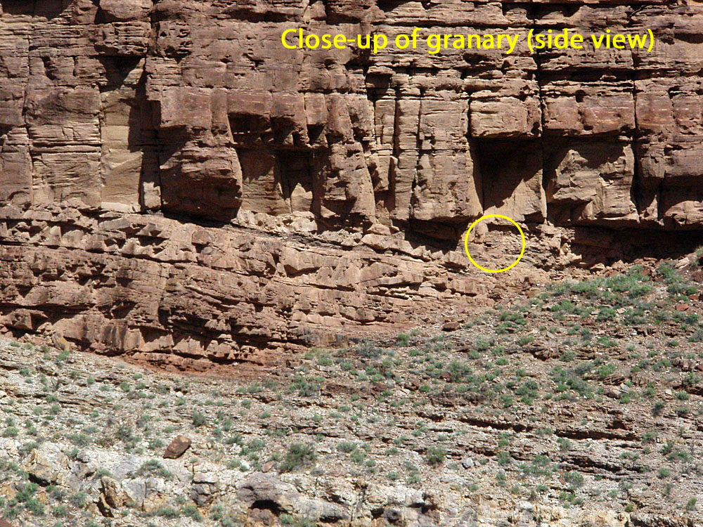
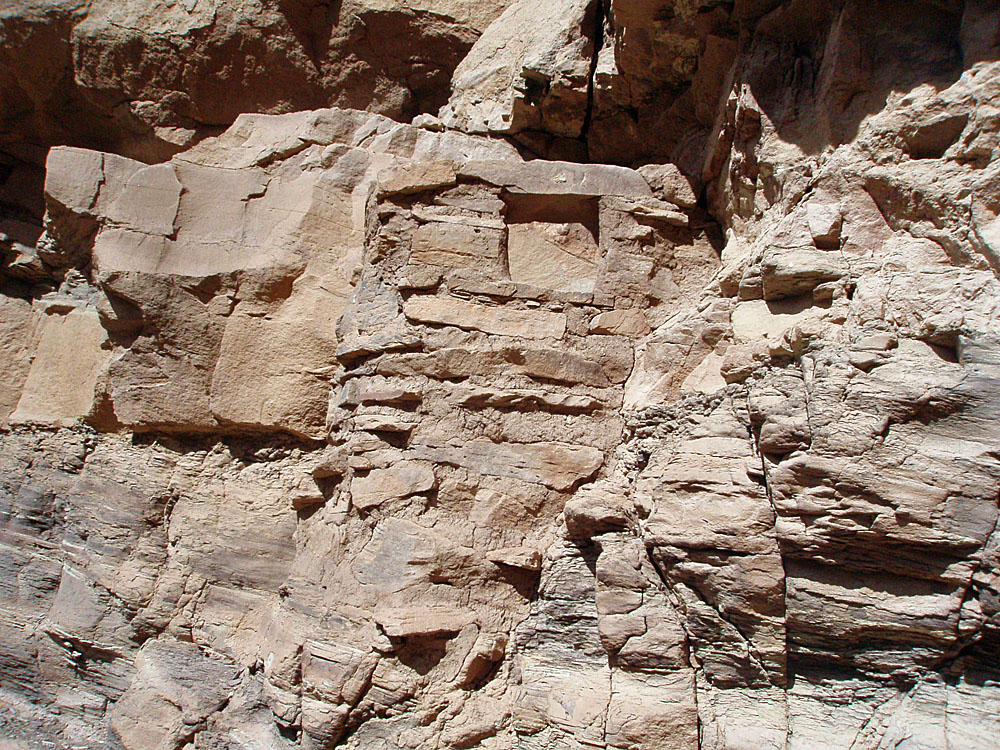 Well-constructed granary. |
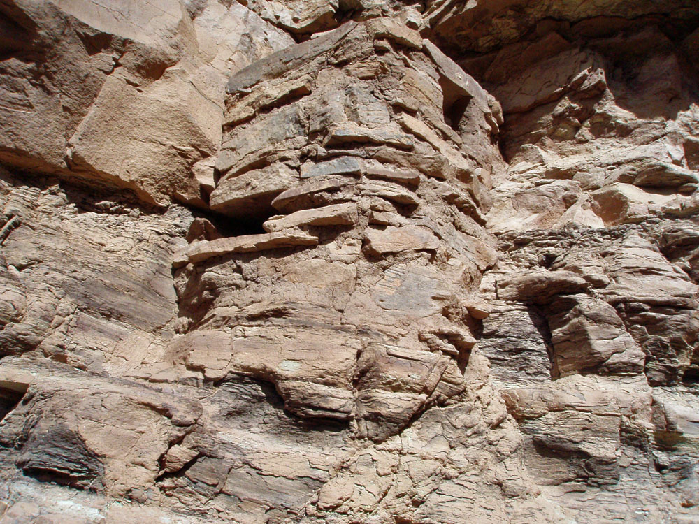 Side view faces the canyon. |
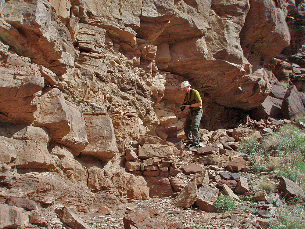 Bill snaps a photo near granary. |
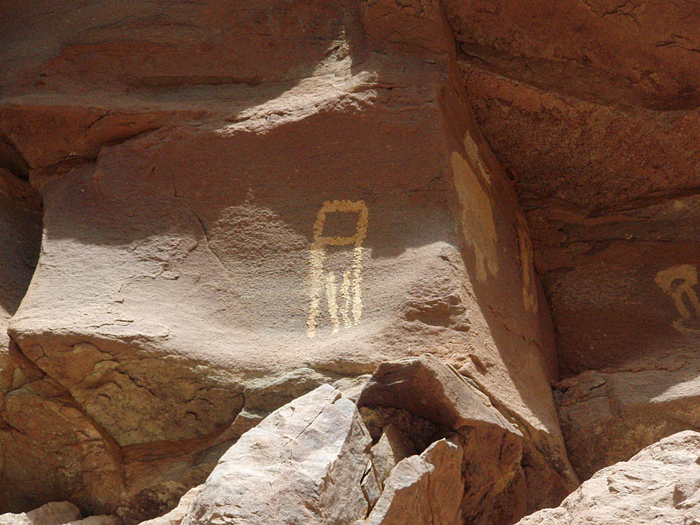 Petroglyph. |
 Pictographs. |
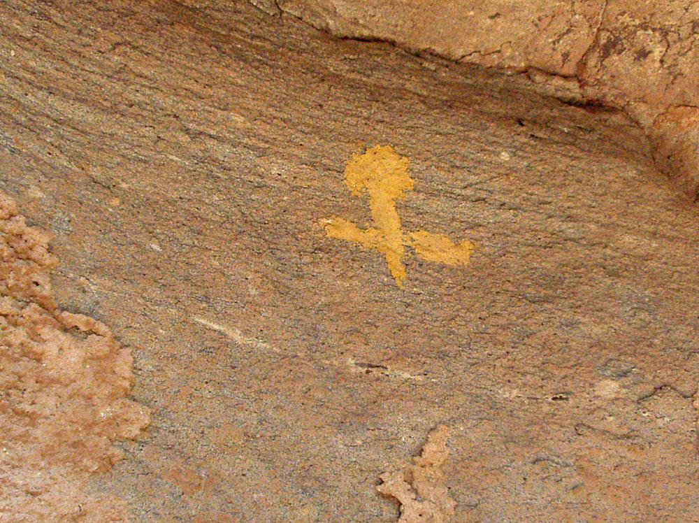 Pictograph. |
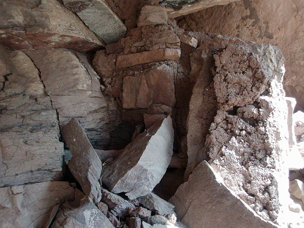 Mortared wall. |
 View back to ruins from exit. |
 Close-up of ruins area. |
 |
||
|
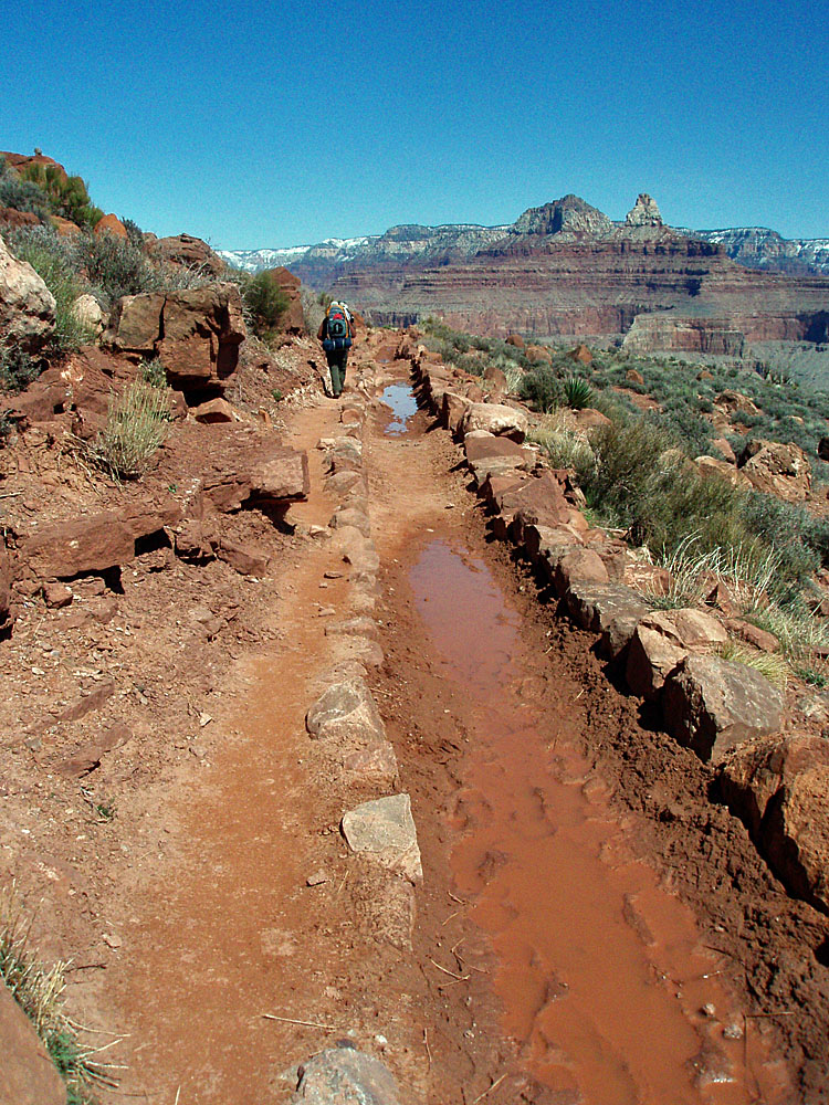
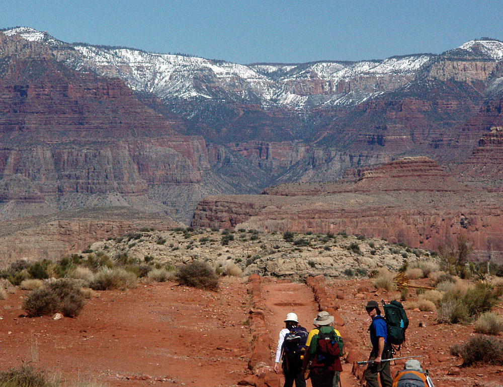
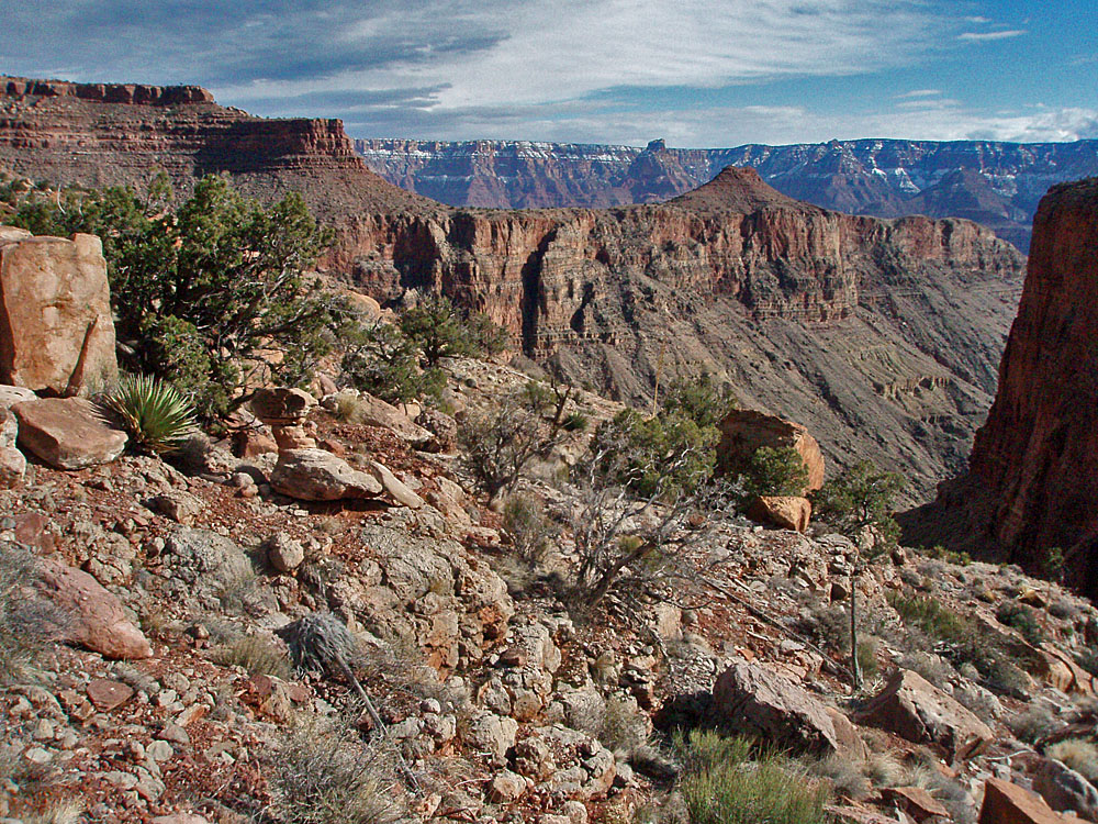
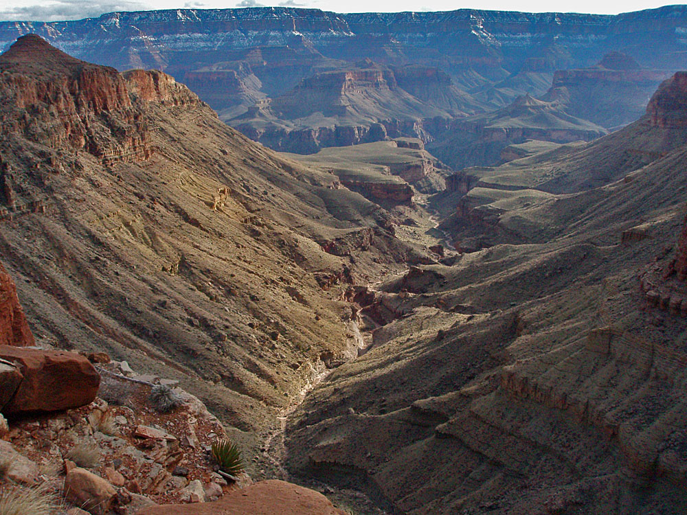
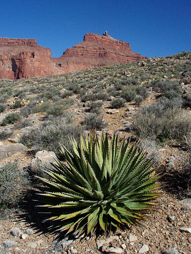
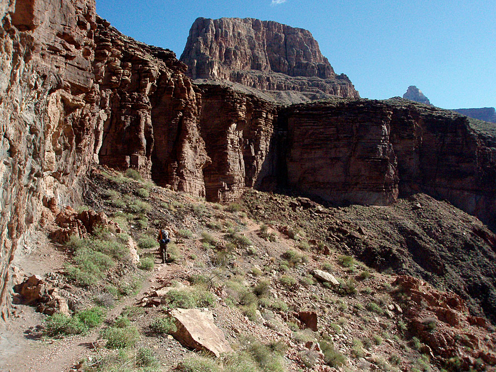
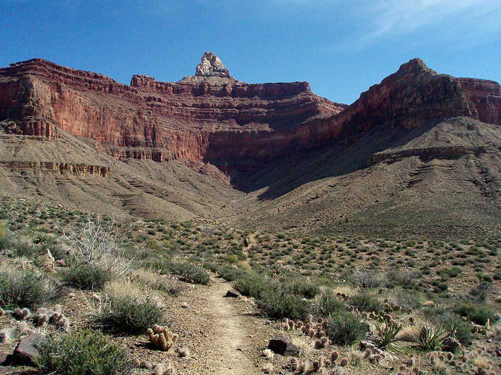
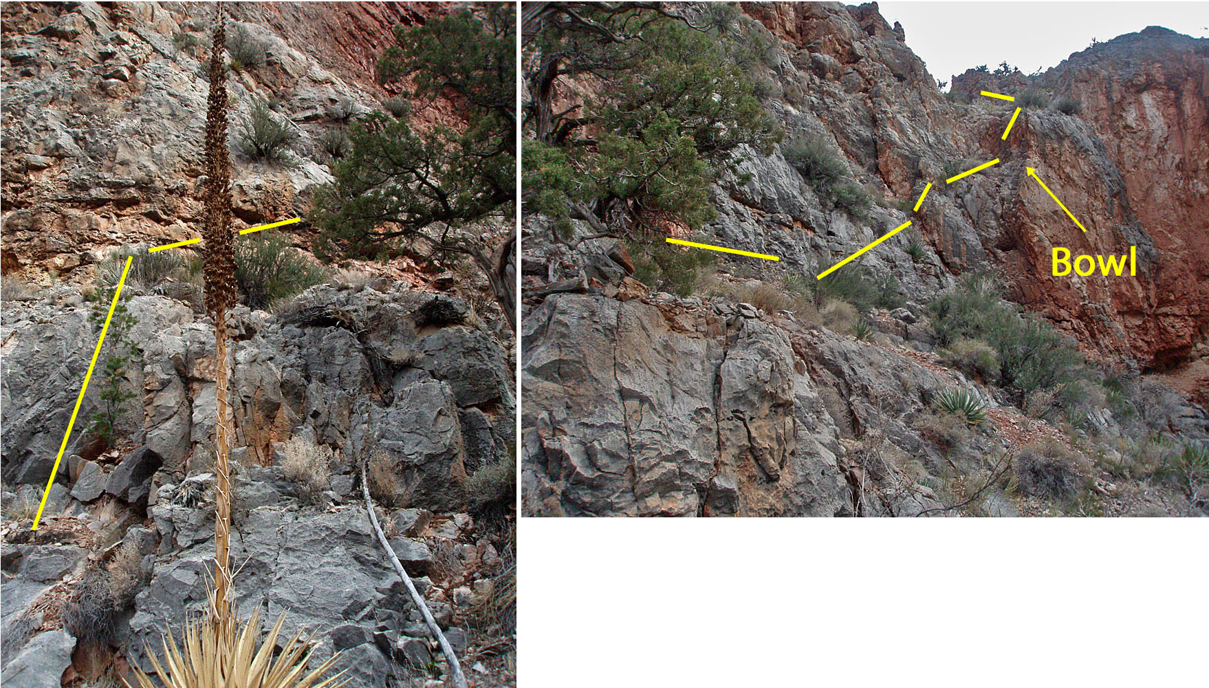
Day 3: Pt. 2 - The high route to
Vishnu (Sunday, March 14) - It only took us 30 minutes to
get from the ruins, on the northwest side of the valley, to the top of
the Tapeats, on the southeast side. We went only a short ways
along the Tonto before stopping for a lunch break, from 12:20 p.m. to 1
p.m. Then it was back to business, rounding the corner into the big
bay that leads to our saddle. Looking up to it one can hardly
imagine that it will go. But, we knew it
|
|
|
||
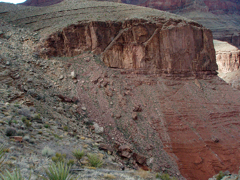
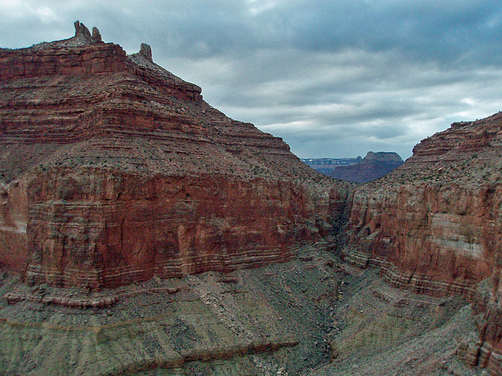
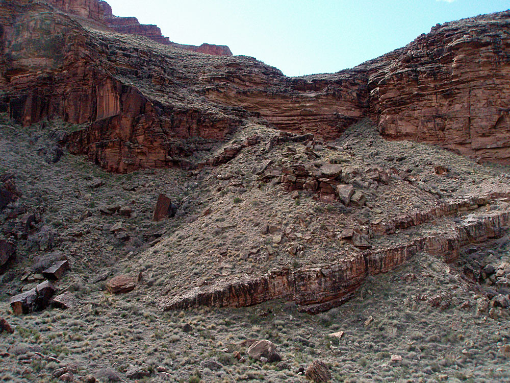
 The exit route from Clear Creek. |
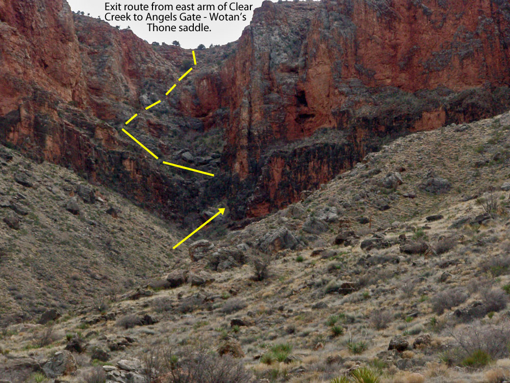 Annotated close-up. |
Looking back into Clear Creek. |
 |
| Crude panorama showing ledge climbs in the upper part of route and the bowl as the last difficult spot. [Annotated.] |
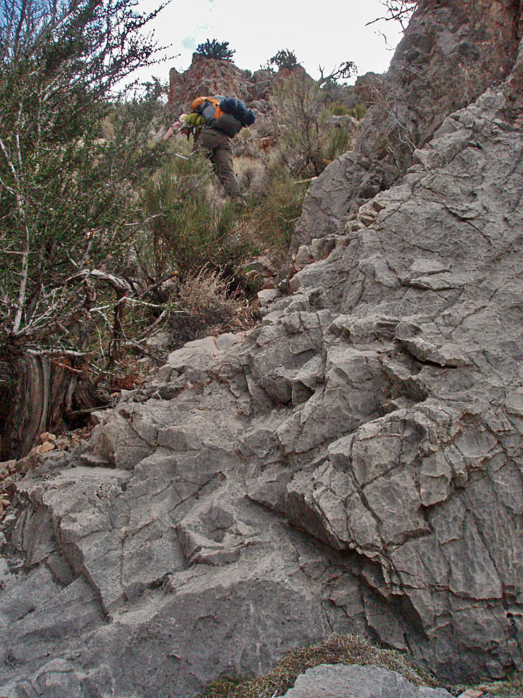 Bill ascends this route and nears the top as we pass over limestone outcroppings and wade through the occasional brush. |
 Posing on saddle below Wotan. |
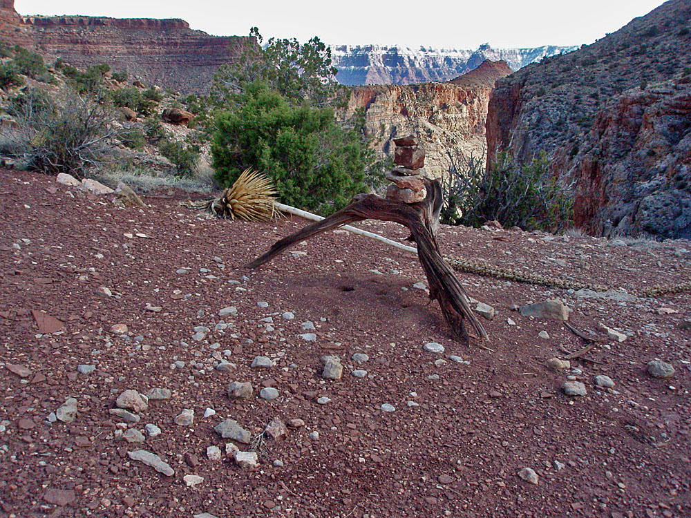 A rather unusual cairn. |
 Looking back down the route. |
 Clear Creek canyon behind me. |
|
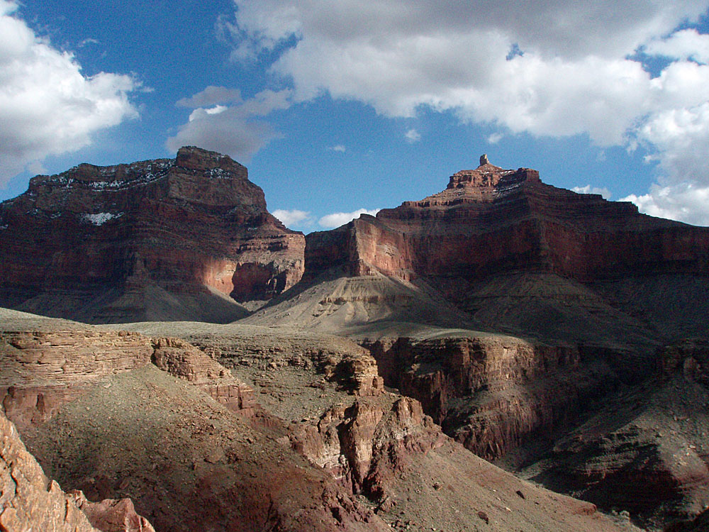
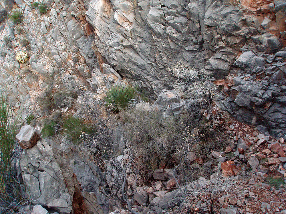
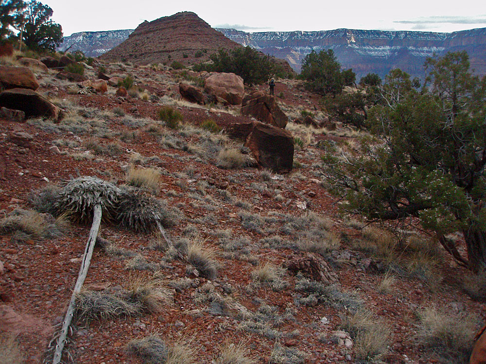
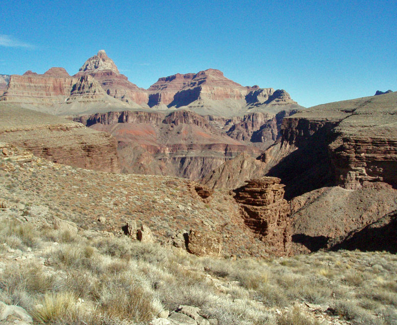
 Looking to Hall Butte and exit. |
 Unnamed (Hall-Hawkins) canyon. |
 Bill heads down the rocky chute. With each step we would dislodge a handful of stones so we tended to stick close together here. |
 Looking back to Angels-Wotans saddle. |
 Bill gets close to descent ravine. |
|
|
Day 4 - The struggle to get to
water in Vishnu (Monday, March 15) - Sleep was fitful.
We were both cold, although I put our rainflys over us to help keep in
the warmth. Bill was quite chilled and had a difficult time moving
around, much
|
|
|
||
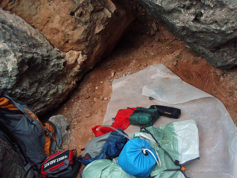 Our emergency overnight campsite. |
 Happy to be alive & to have water! |
 Looking back at Bill and our camp (very small in lower left-of-center) beside a small spring in a drainage that empties into Vishnu Canyon. |
 Bill hobbles around our little Eden. |
 Home for now. |
|
|
Day 5 - A plan to return to
Phantom Ranch (Tuesday, March 16) - The next morning I did
feel enough improved to try the hike back to Phantom. We split up
the food - Bill kept the stove and all the meals needing hot
water. I took the ready-to-eat food, which was mostly our lunches.
At 7:30 a.m. I was off on my way. I had problems right away with
the uneven terrain. My bad leg was on the downhill side and when I
would take a step I had to be very careful not to roll my foot nor to
step so hard that my knee would buckle. It seemed like every few
steps I was falling down and it took me a while to steel my
concentration to keep that to a minimum. By 10 a.m. I was out in
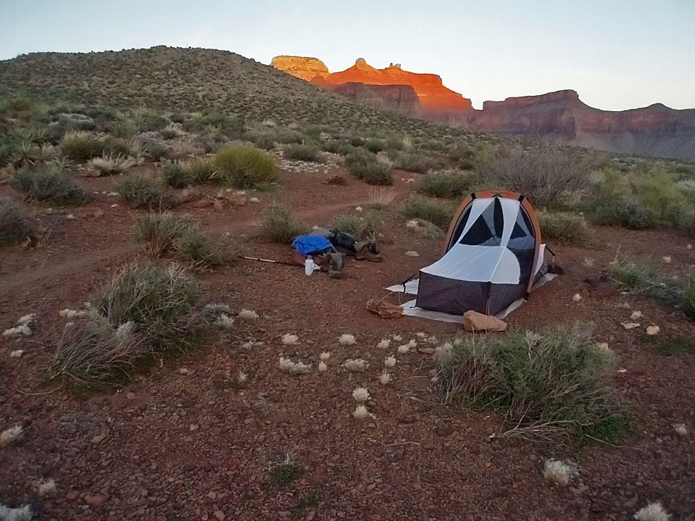
front of Hall Butte and feeling better about my progress. |
|
|
||
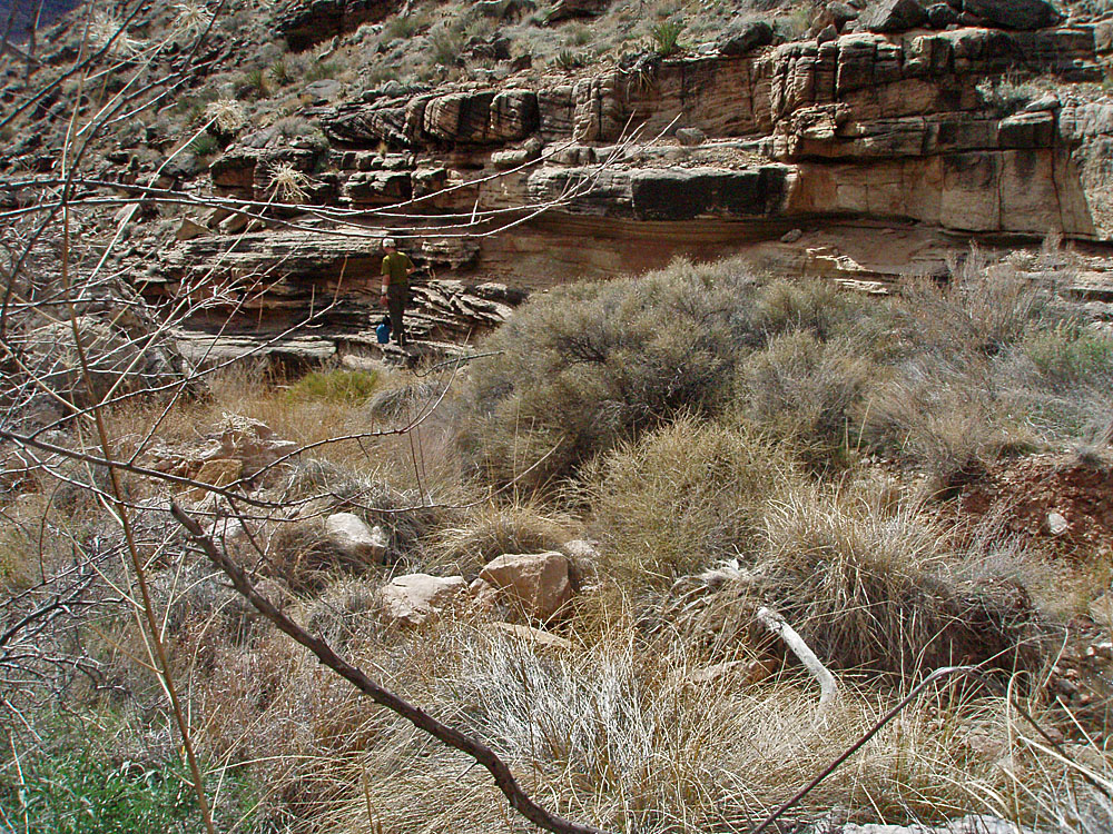
 Trekking along the Tonto level was somewhat problematic as my downhill side was the leg with the torn ACL. It seemed like every dozen steps my knee would buckle and I'd fall down. |
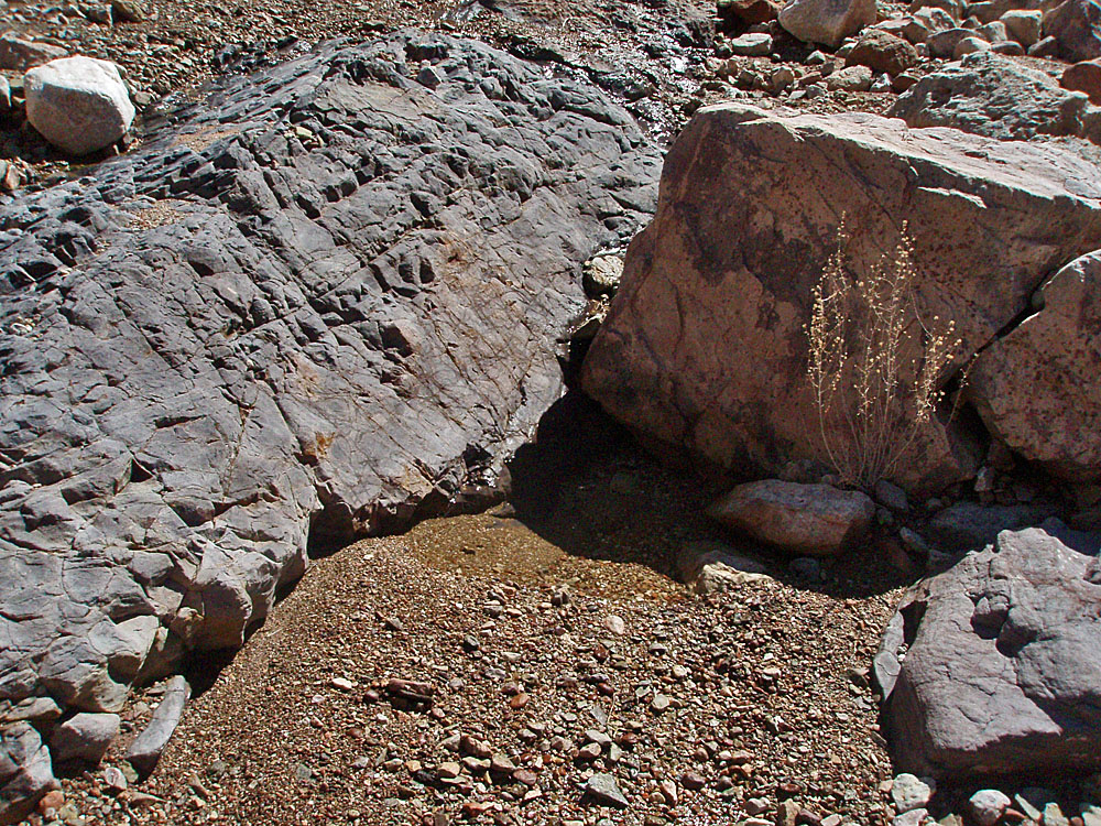 Water in "Double D" canyon. |
 I set up my first camp just past the main ravine between Hawkins and The Howlands Buttes. Angels Gate looms over this area. |
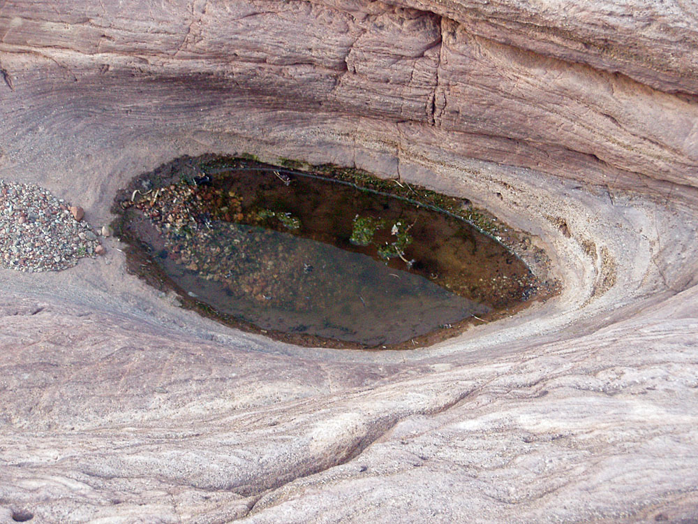 Pothole water in Hawkins-Howlands. |
||
|
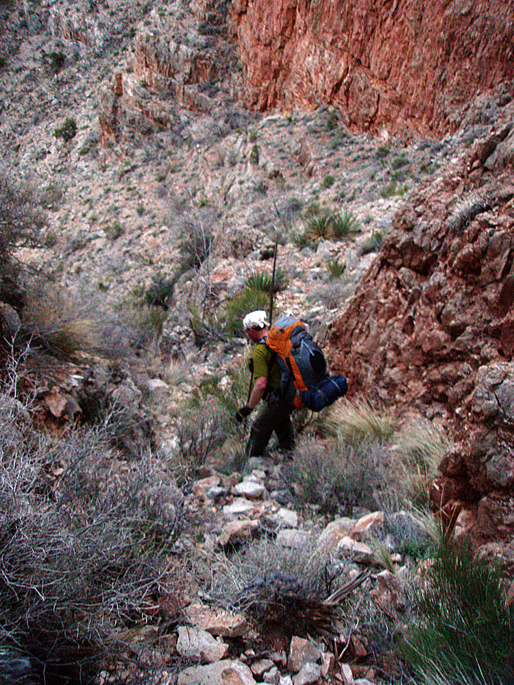
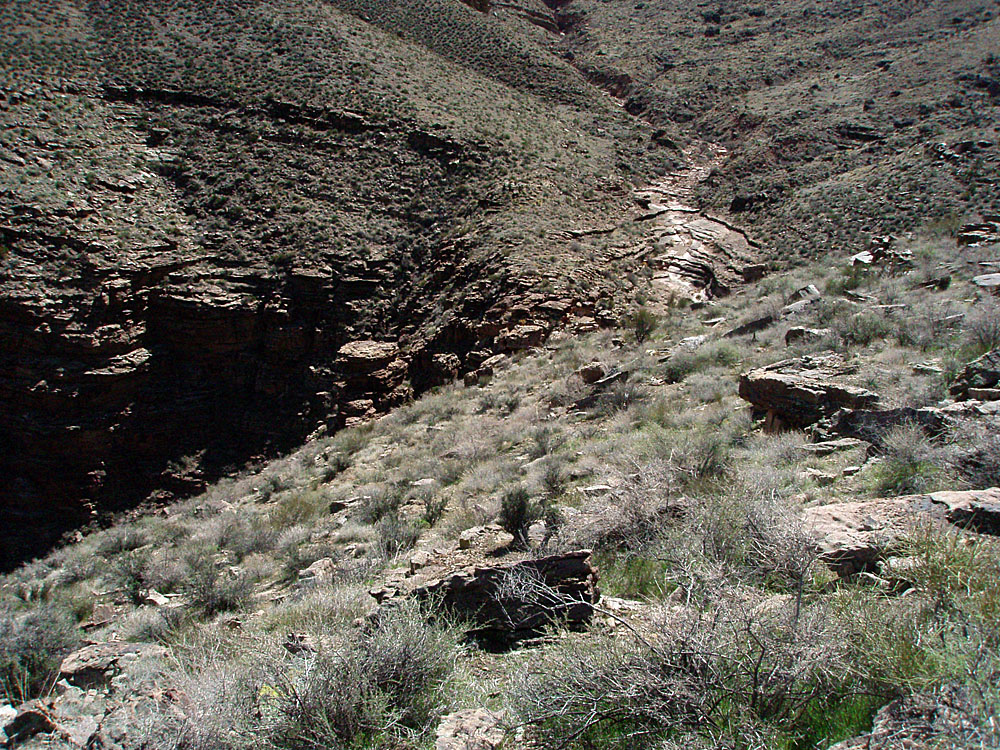
Day 6 - Fear and terror
descending into Clear Creek (Wednesday, March 17) - I was
packed up and on my way by 8:15 a.m., with the first sunlight starting to shine
on this area. I crossed the ridge that put me in the Clear Creek
drainage at 9 a.m. and after two more hours I stopped in the shade of a big
boulder to take a twenty minute break. I knew I was finally
getting close to the descent ravine into Clear Creek and I was not
really looking forward to it. |
|
|
||
 X marks the spot? |
 The descent into Clear Creek. |
Clear Creek. |
 Finally back on a real trail! |
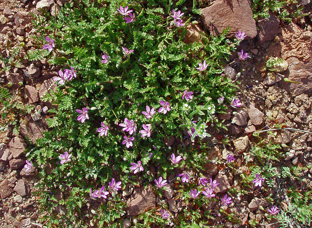
 Indian paintbrush to brighten the day. |
 Camping along the CC trail. |
|
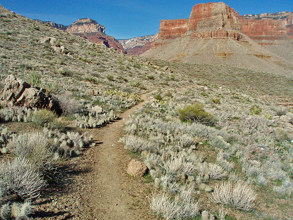
Day 7 - To Phantom Ranch (Thursday, March 18) - I
was up and on my way by 7:20 a.m. As has been true the last few
days, there were sunny blue skies. About a half hour into my hike
I scared up a small group of deer. About an hour after that I was
starting to descend through the Tapeats, having just passed by another
group of hikers. If I thought going downhill was hard out in the
brush where there are no trails, it was many, many times worse on a
well-constructed trail. I was constantly having trouble keeping my
balance and was slipping and falling with some regularity. [Going
uphill, on the other hand, wasn't any real problem for me.] Just
before reaching the North Kaibab Trail I passed by the volunteer ranger, Sjors, as he was heading up the trail. I asked him if someone was
at the ranger station and apprised him of mine and Bill's situation.
He radioed in the news so that when I arrived at the station, at 10:15
a.m., the ranger on duty, Bil Vandergraff, already knew pretty much what to
expect. |
|
|
||
 Early morning deer herd. |
 I'm there! |
 Sign at the Ranger Station. |
 Trailside flowers. |
 After Bill's trip, copter made PR stop. |
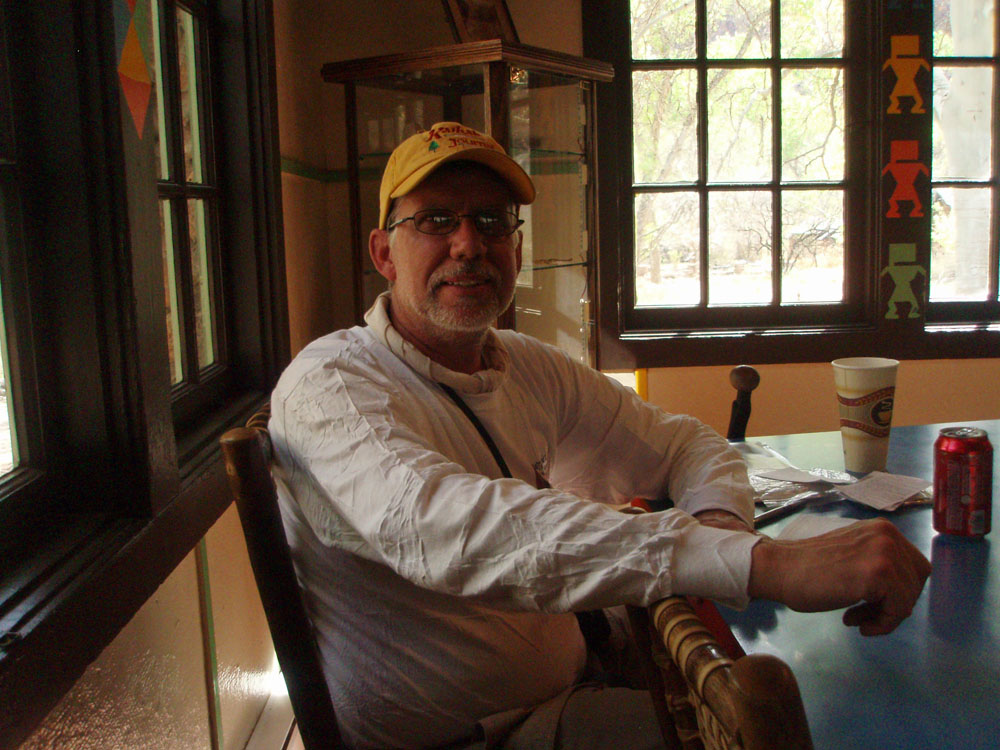 Relaxing in the Phantom canteen. |
|
Day 8 - The final climb (Friday, March 19) - I was up at 5 a.m. and on my way by 6:40 a.m. Twenty minutes later I was passing through the tunnel after crossing the black bridge. I wanted to go up the Kaibab trail (and felt fully capable of doing so, despite my knee problems) because it is shorter, the weather was pleasant and I wanted to pick up the Kahtoolas that Bill and I had cached on the way down. I rested on the Tonto level from 8:10 to 8:25 a.m. There was a whole village of tents nearby housing the crew that is doing so much work on the trail. I passed quite a few such crews on my way up through the Redwall, which I topped at 9:30 a.m. Forty-five minutes later I was picking up the Kahtoolas. Somewhere in here I met a friend of Sally Underwood and chatted for a few minutes. Small world. At 10:40 a.m. I was on Cedar Ridge and two hours later I was at the trailhead and soon to board the shuttle. I went to the Maswik Lodge, where I would pick up my ride to Flagstaff. I checked my bag in with the bellman, who I worked with at the South Rim in 1980! Like I said, small world. |
|
|
|
|
||
|
|
Return to Hiking Grand Canyon home page |
|


