


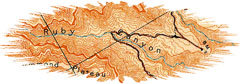
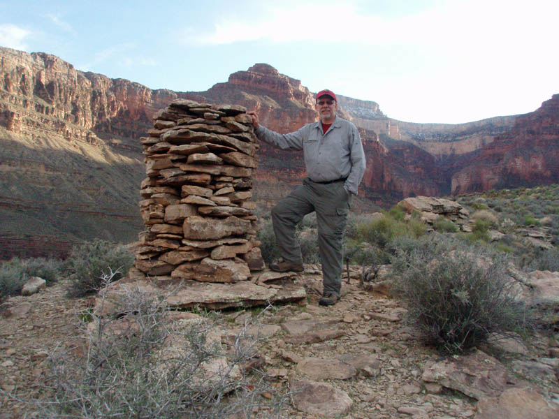
 turnaround
spot on the Tonto, to begin heading into Ruby. I dropped my pack
here and wandered out to the edge of the plateau looking for the
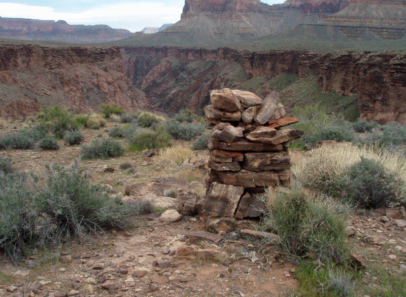
"Ruby benchmark." You can see the "BM"
designation on the map fragment to the right. This is a copy of
Harvey Butchart's map, available for
turnaround
spot on the Tonto, to begin heading into Ruby. I dropped my pack
here and wandered out to the edge of the plateau looking for the
"Ruby benchmark." You can see the "BM"
designation on the map fragment to the right. This is a copy of
Harvey Butchart's map, available for 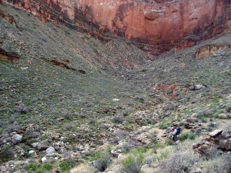


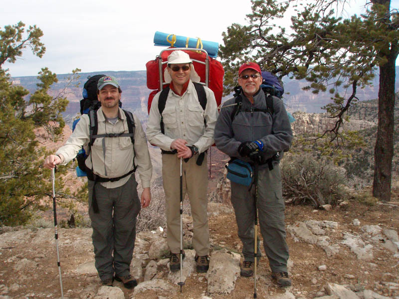
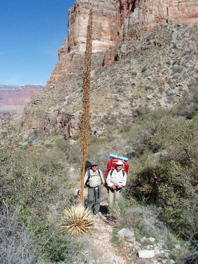
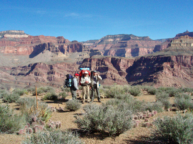
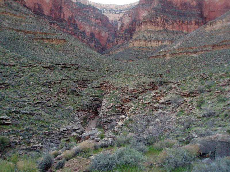
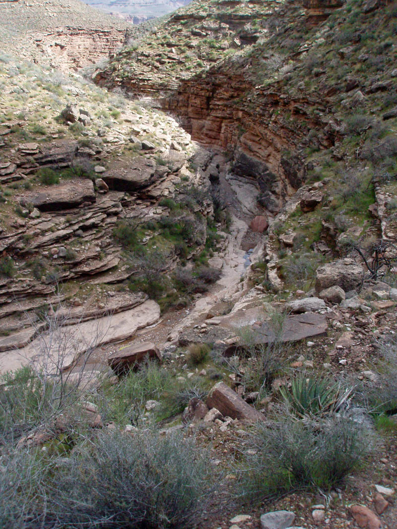
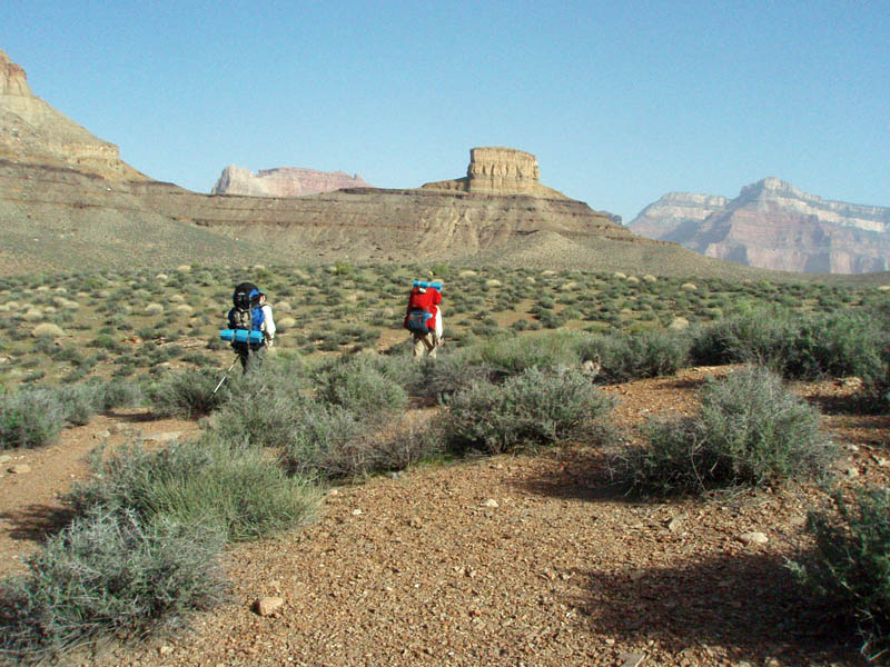
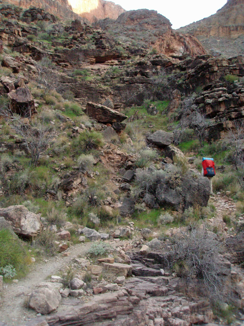
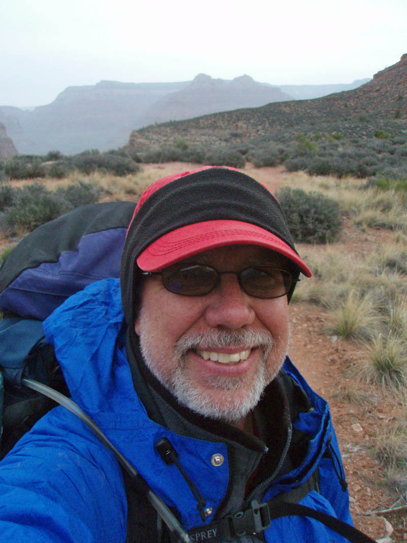
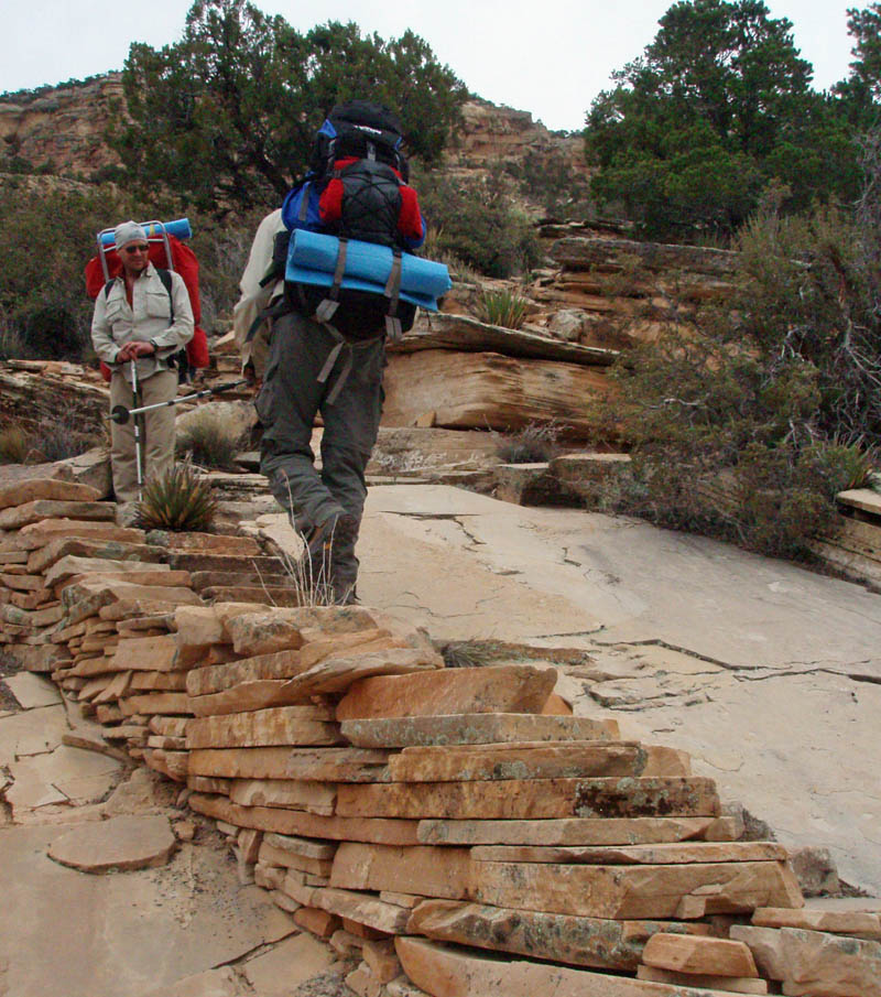
In mid-March, with companions Dan and John Eastwood, I started down the historic Bass trail as part of a six-day hike through "The Gems." So-called due to the mineral names of these many side canyons -- Serpentine, Emerald, Quartz, Ruby, Jade, Jasper, Turquoise, Sapphire, Agate and Slate.
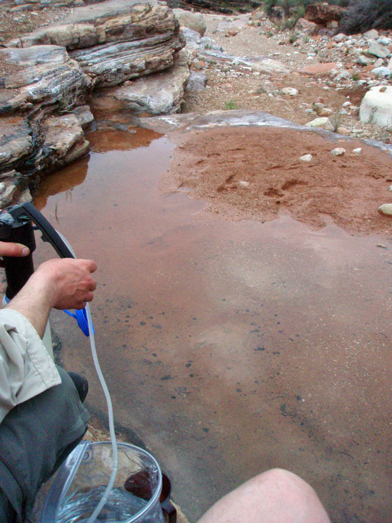
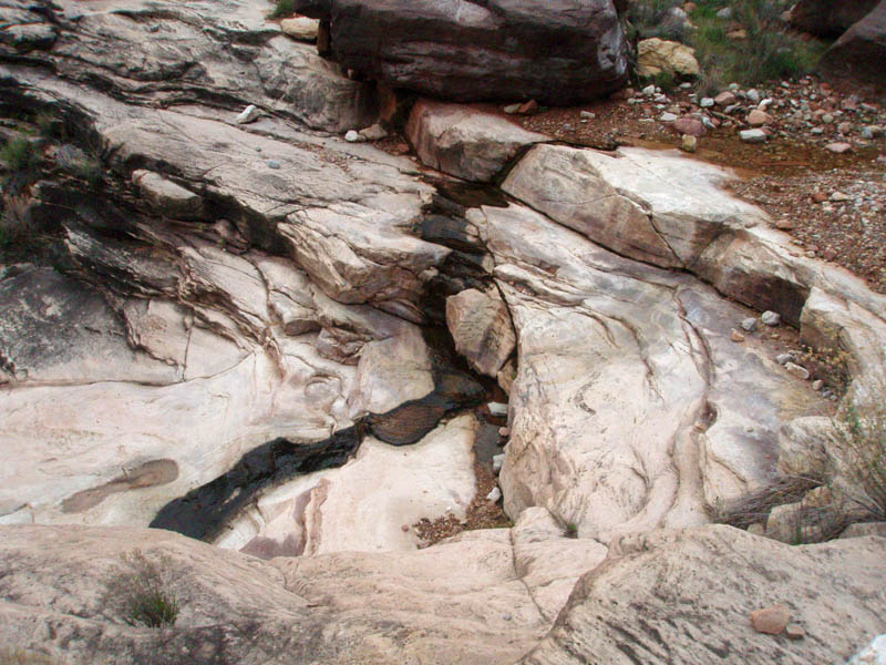
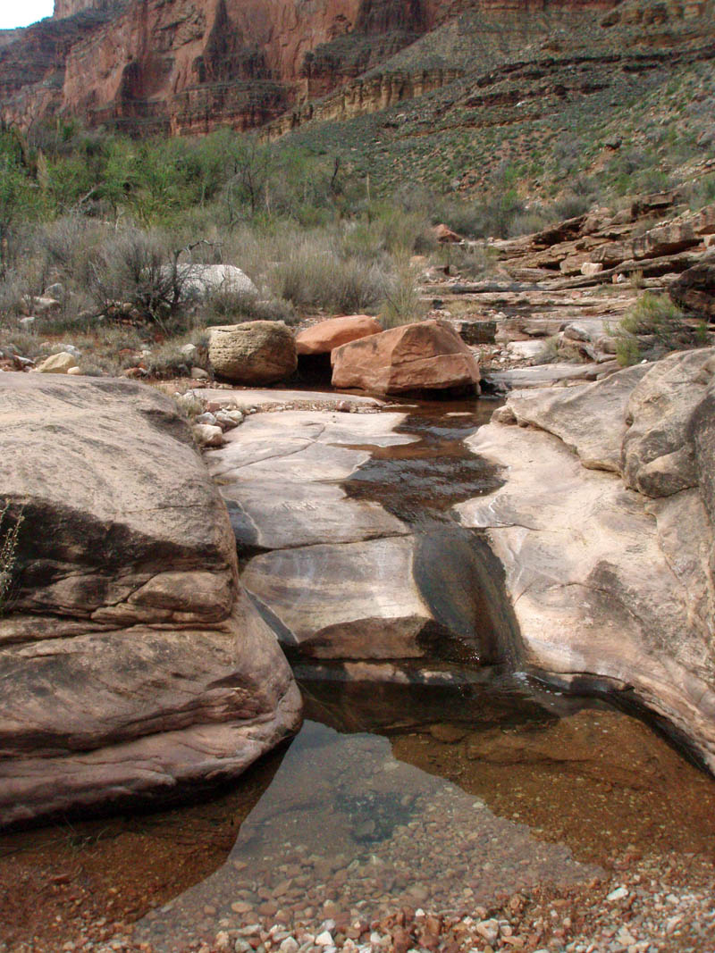
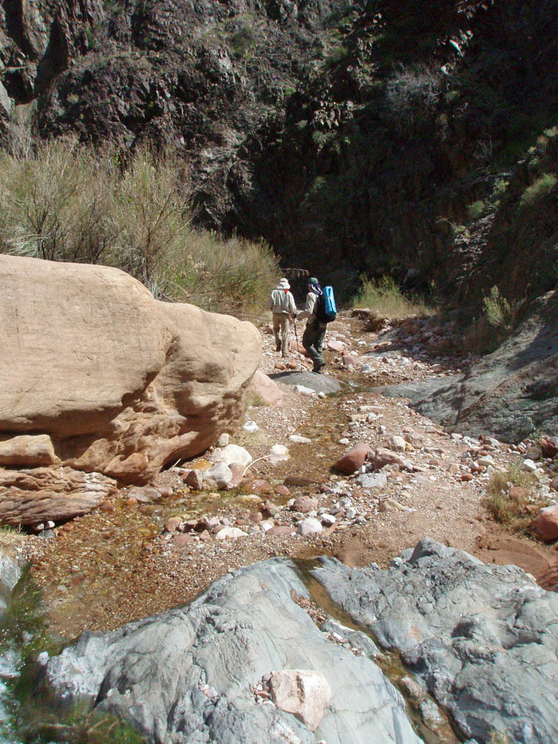
Accessing the trailhead requires a 20-mile drive over poorly maintained dirt roads. During a snowy winter, these roads can be impassable until April or even May. During the summer, hiking here can be grueling, or even fatal. Fall hiking can be pleasant, but there is more reliable water in the spring. We found, and camped at, water for the first four nights of our hike.
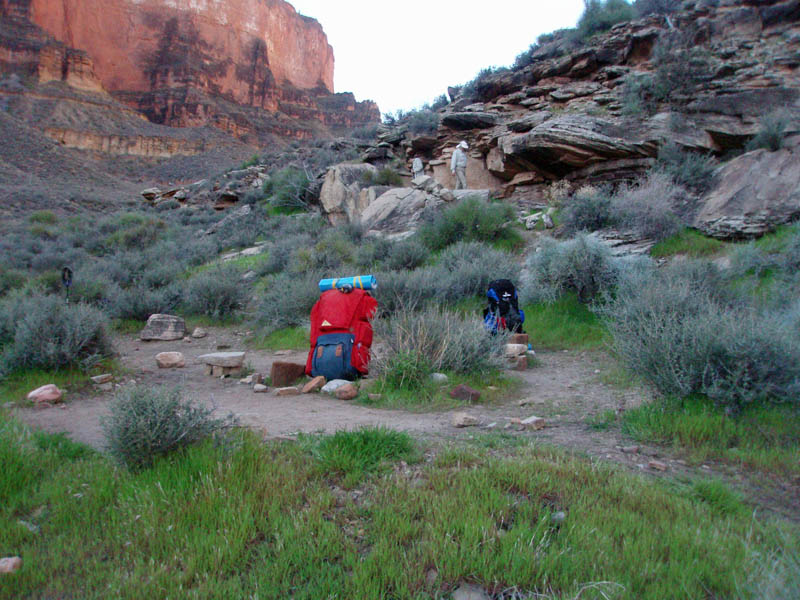
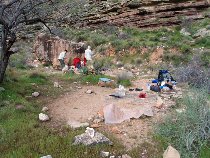
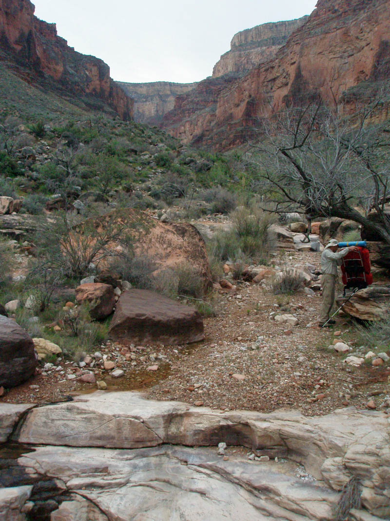
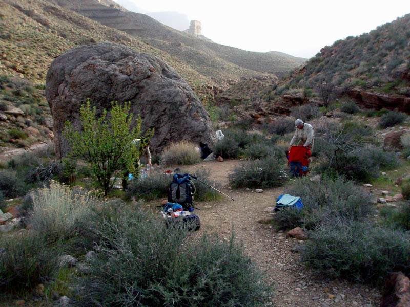
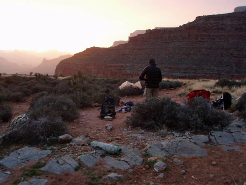
CAMPING AT TONTO JUNCTION
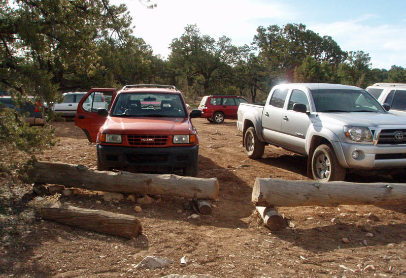
We got an early start from Flagstaff and, with the assistance of hiking buddy Bill Ferris, we dropped off a car at the Hermit's Rest trailhead and he shuttled us to the Bass trailhead. Shortly after 9 in the morning, we were starting down the trail in this remote region.
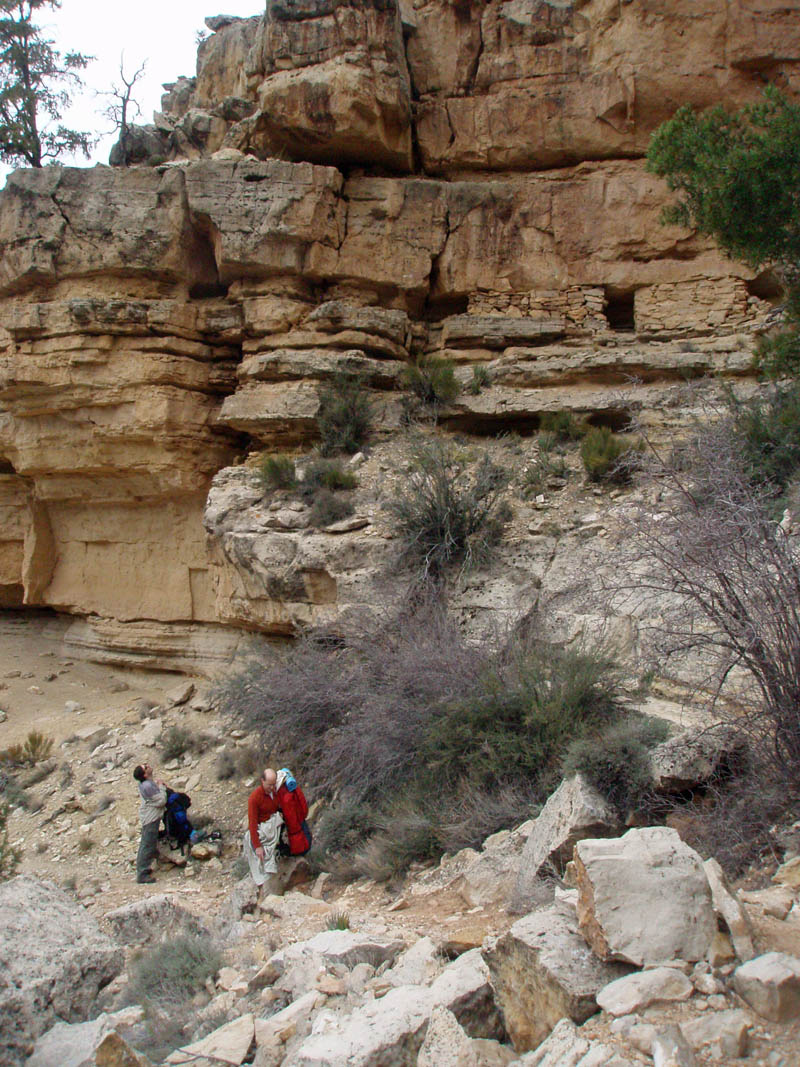
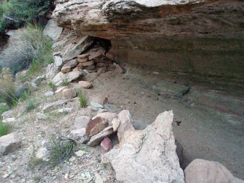
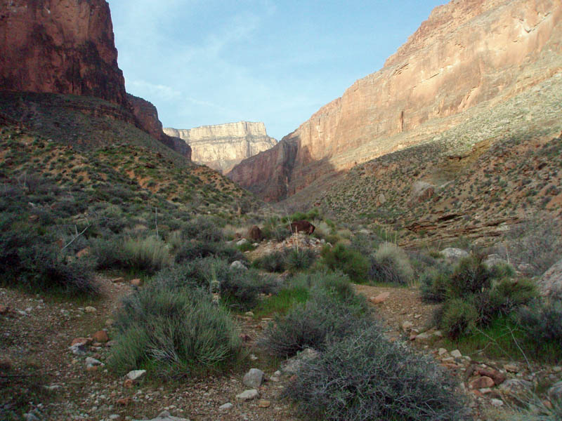
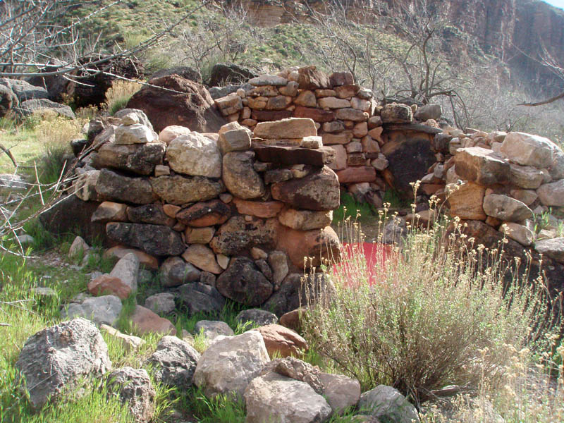
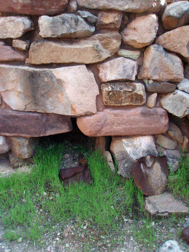
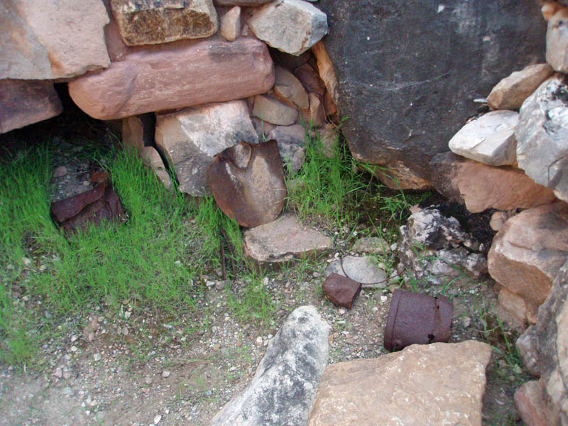
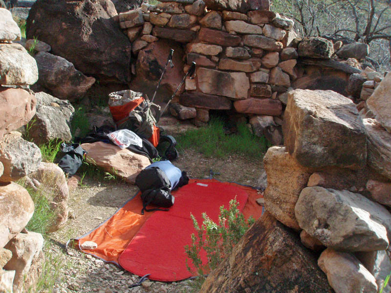
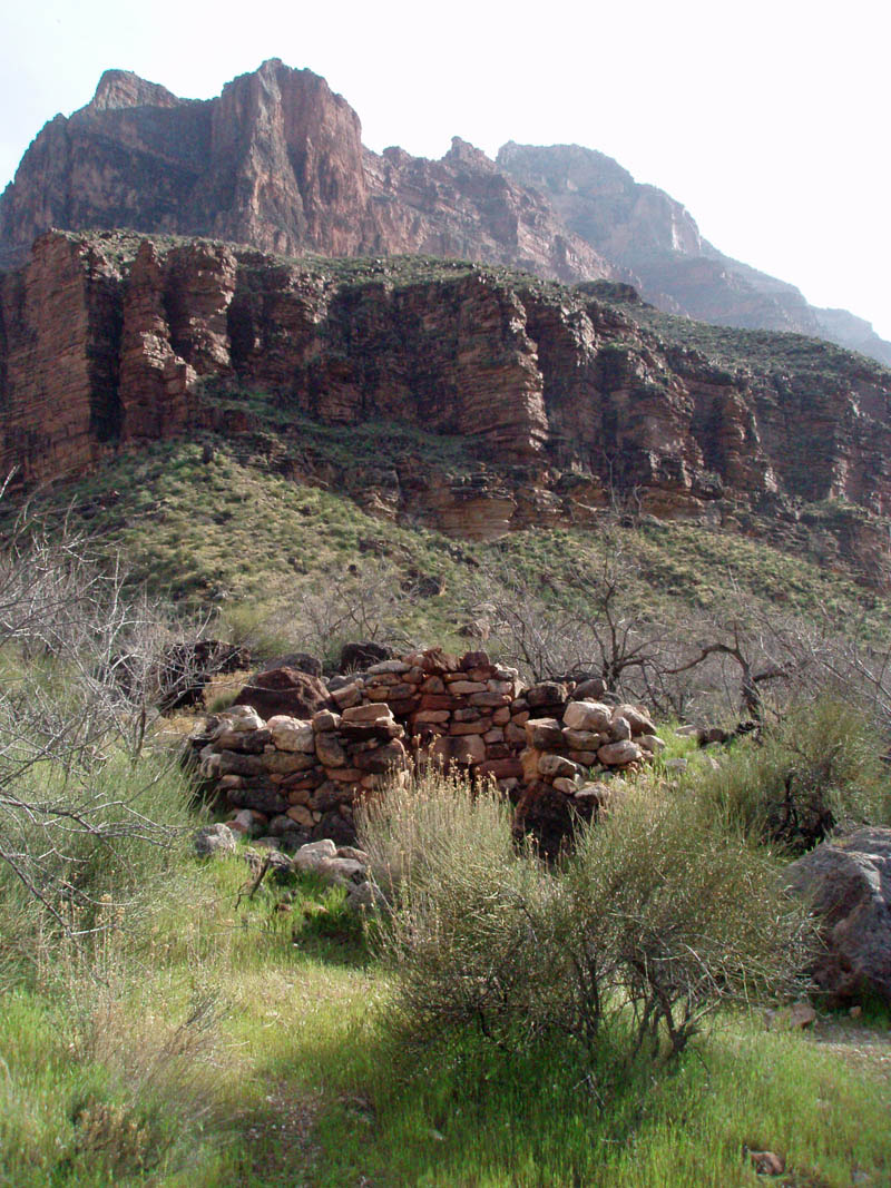
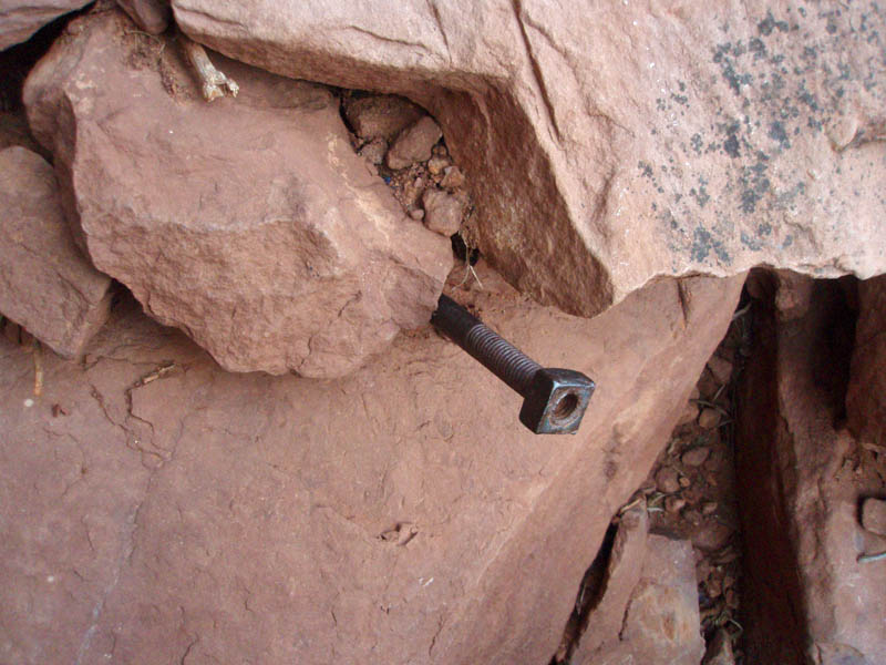
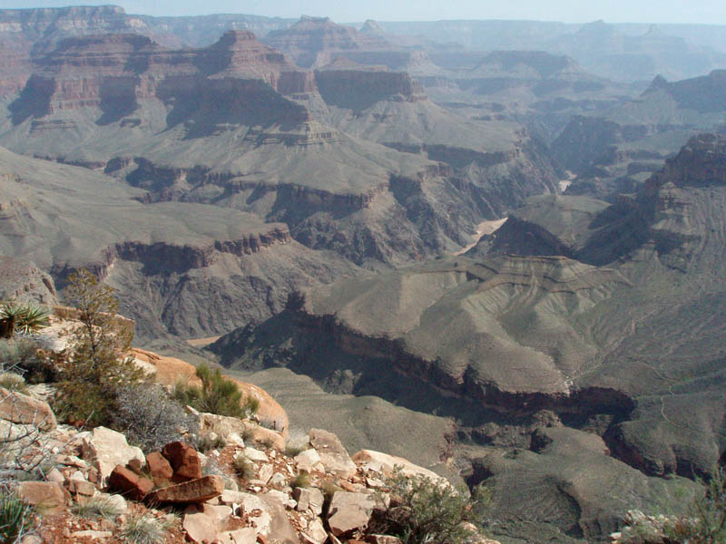
The weather was quite spectacular during this hike. It was generally warm during the day and not uncomfortably cold at night. The first night we camped near the junction with the Tonto Trail, which is the main route that moves east and west through the heart of Grand Canyon. In poking around a nearby overhang, we found distinct signs that Bass had some kind of structure here servicing his trips in and out of the canyon.
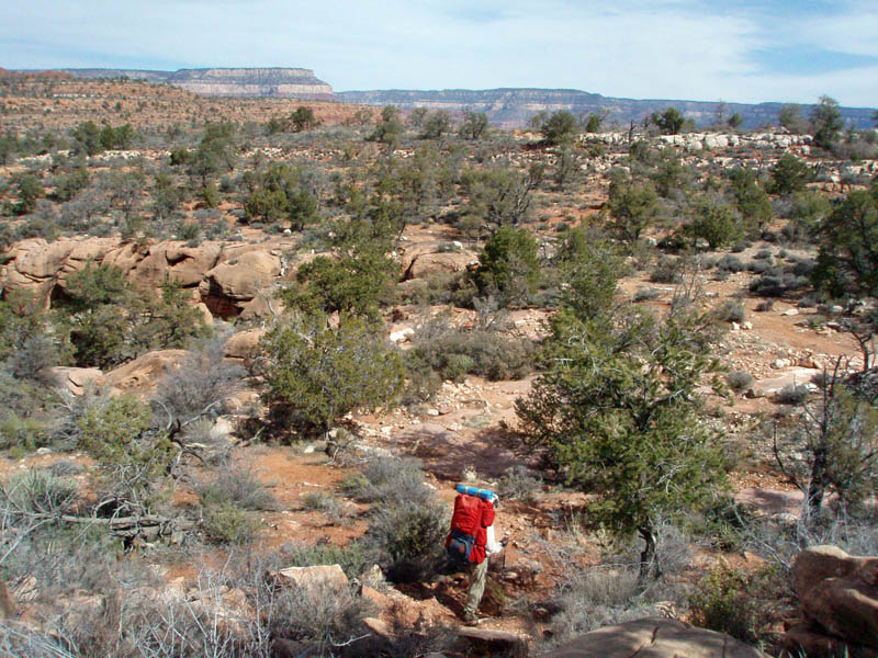
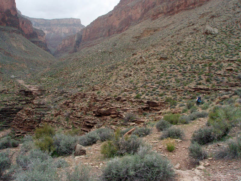
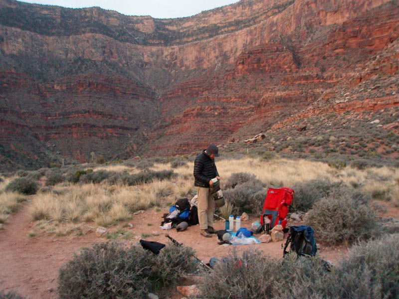
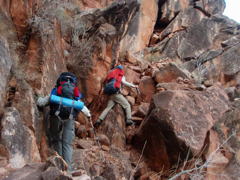
For the next two days we set modest daily targets of about 6 miles each. Partly that was due to the desire to camp at water. But, also, as I am still rehabbing from an operation to replace the ACL in my left knee, sustained in a hiking accident a year earlier, I wanted to keep the itinerary safe and simple.
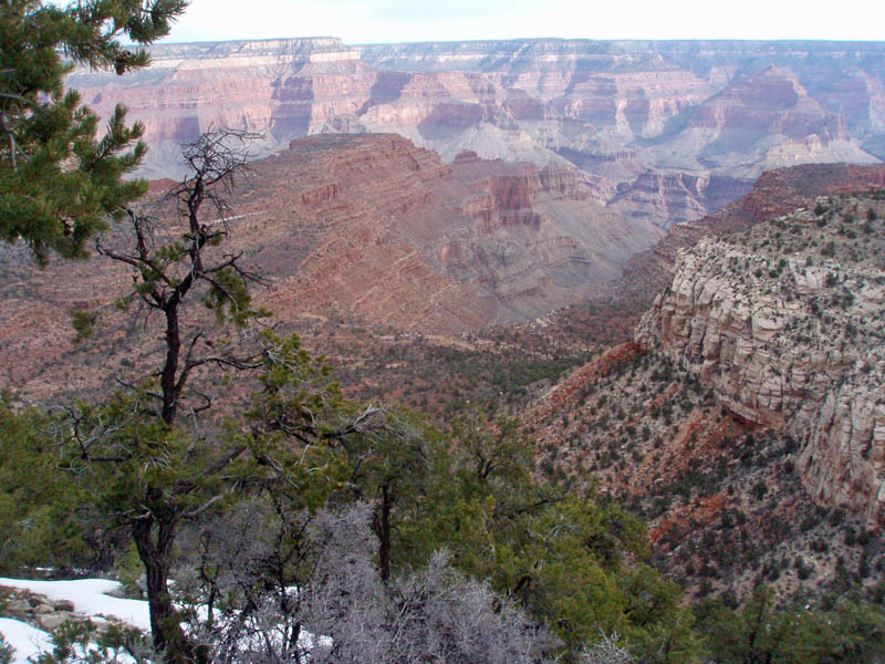
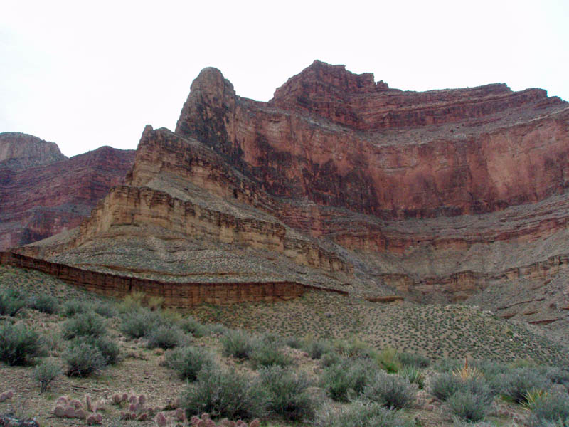
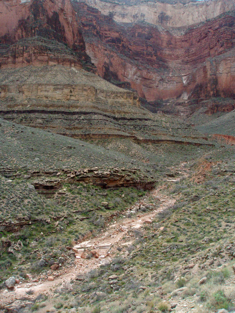
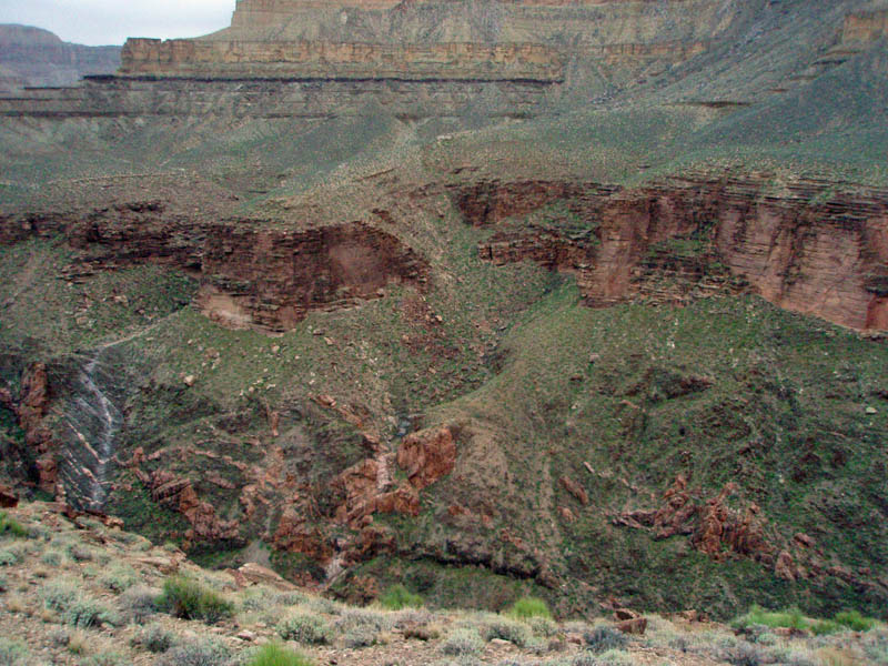
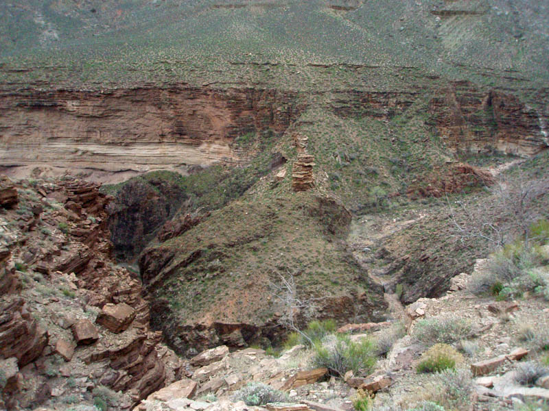
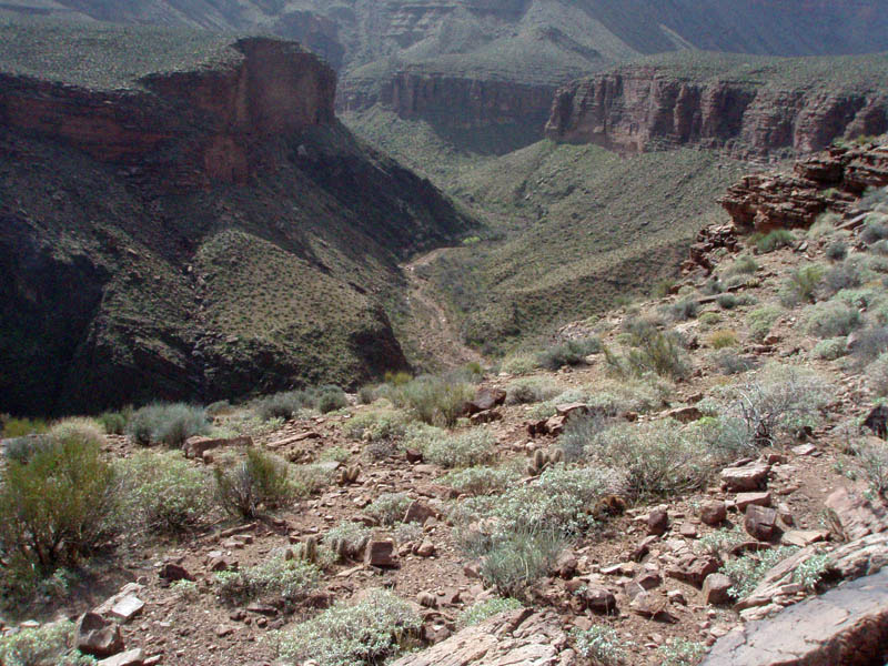
MAGICAL TERRAIN
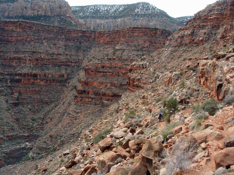
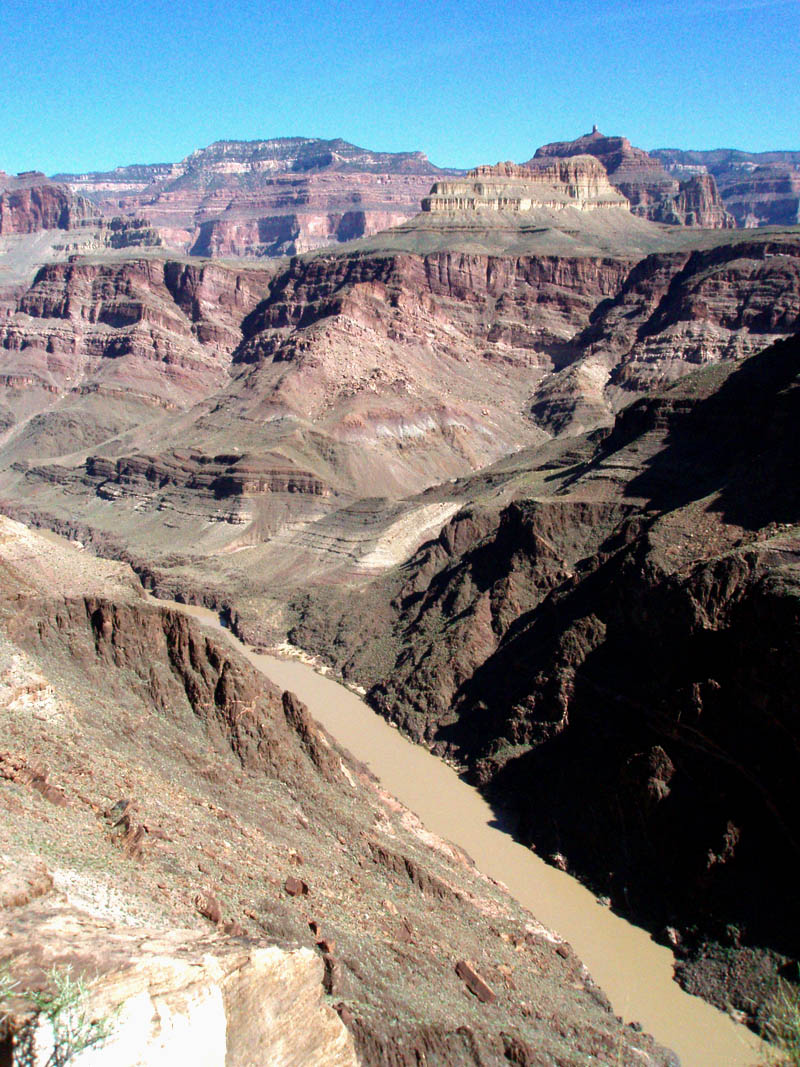
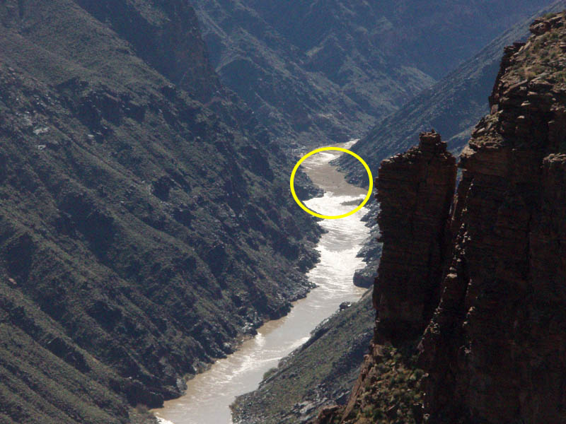
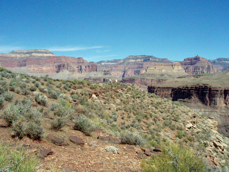
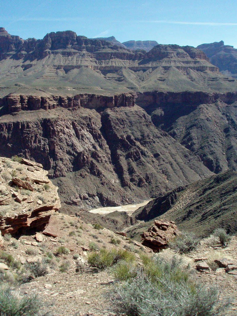
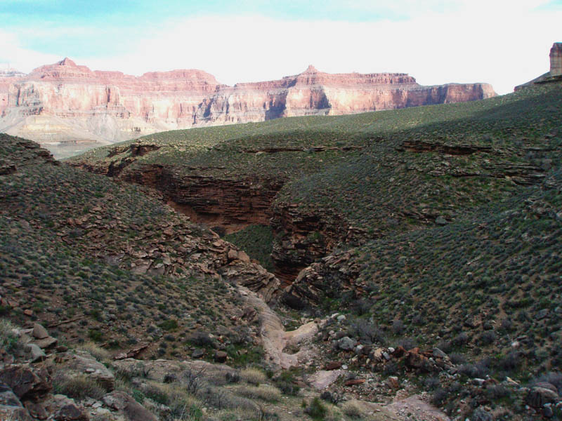
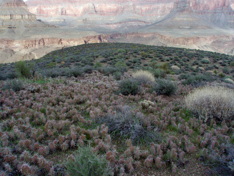
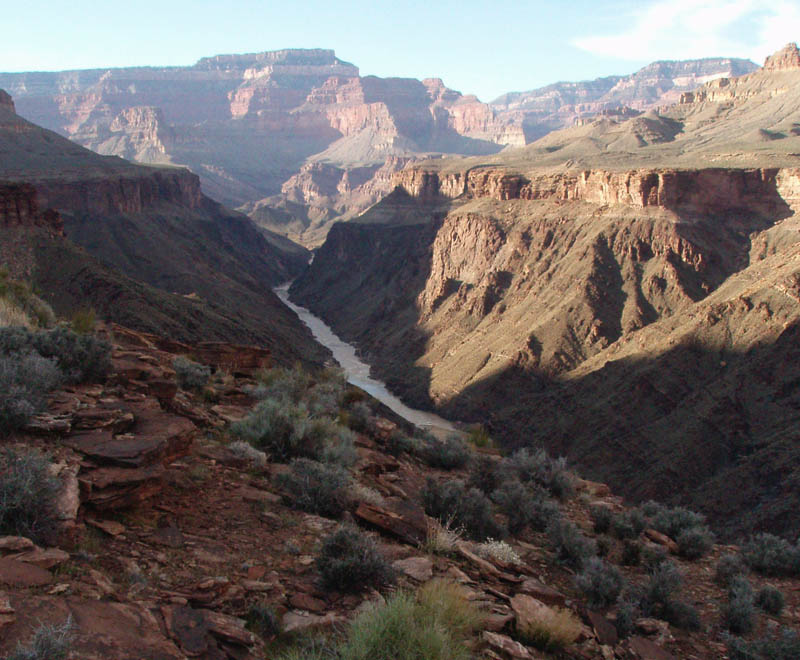
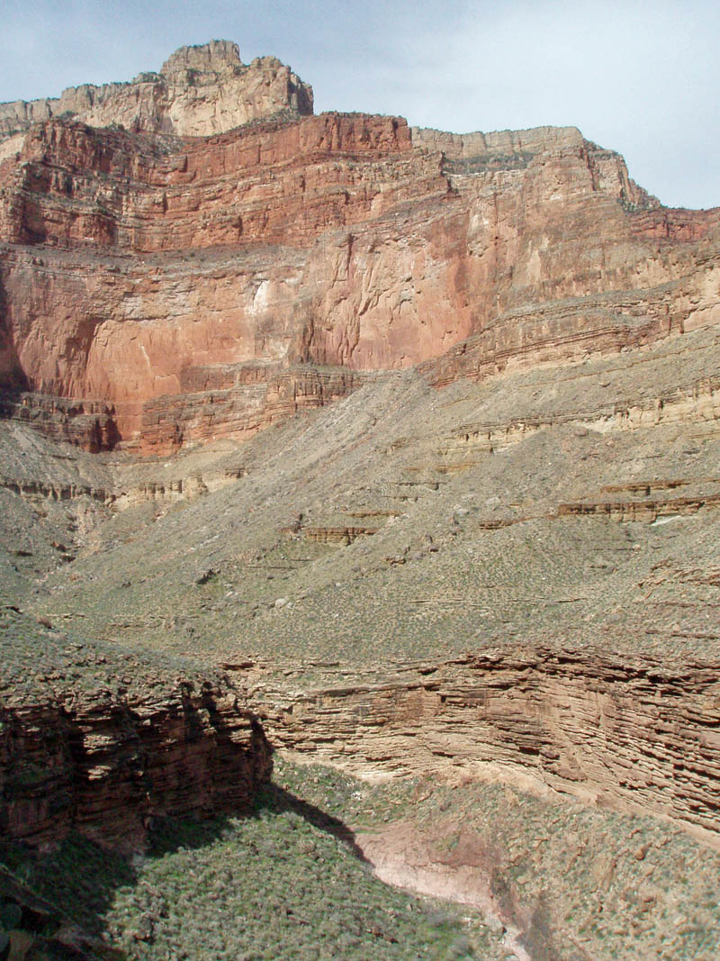
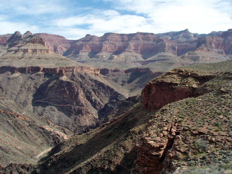
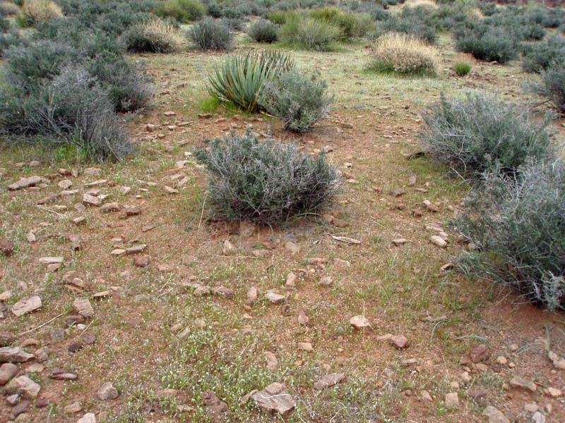
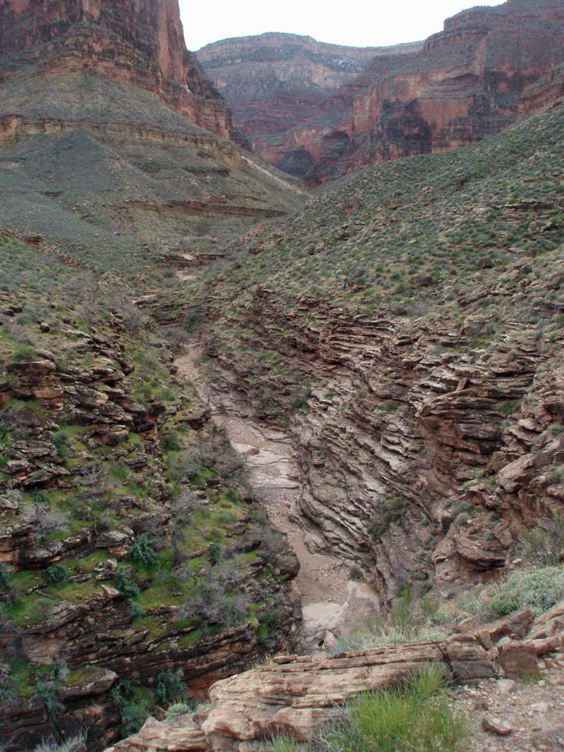
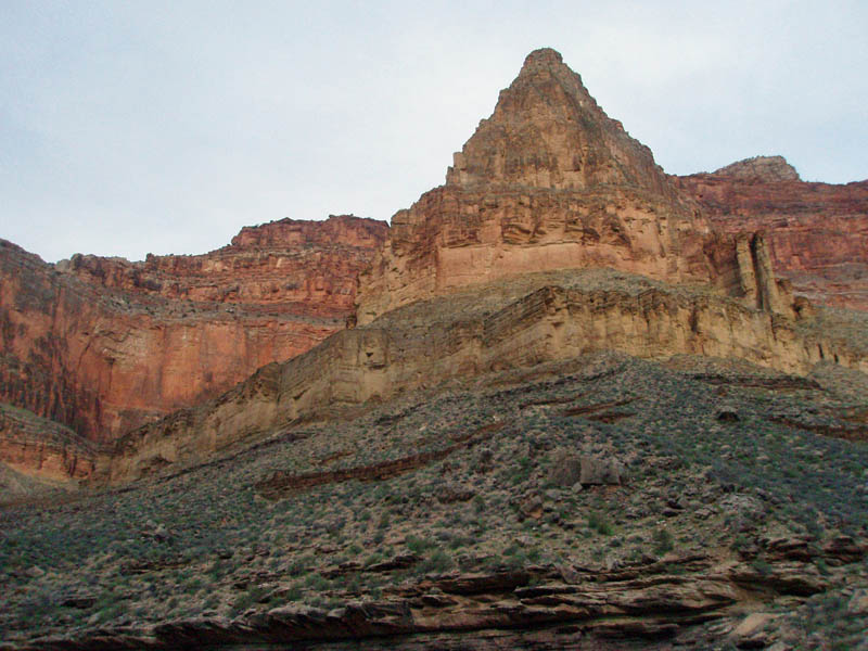
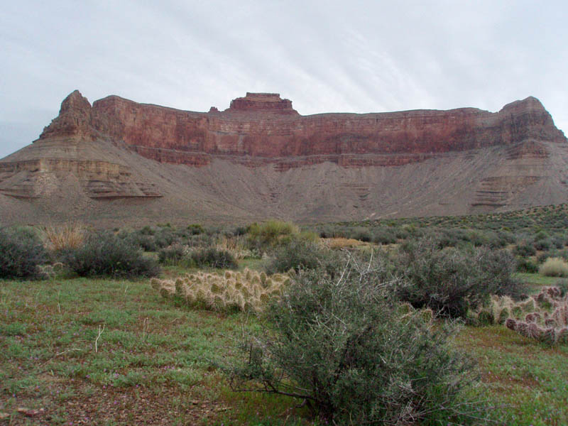
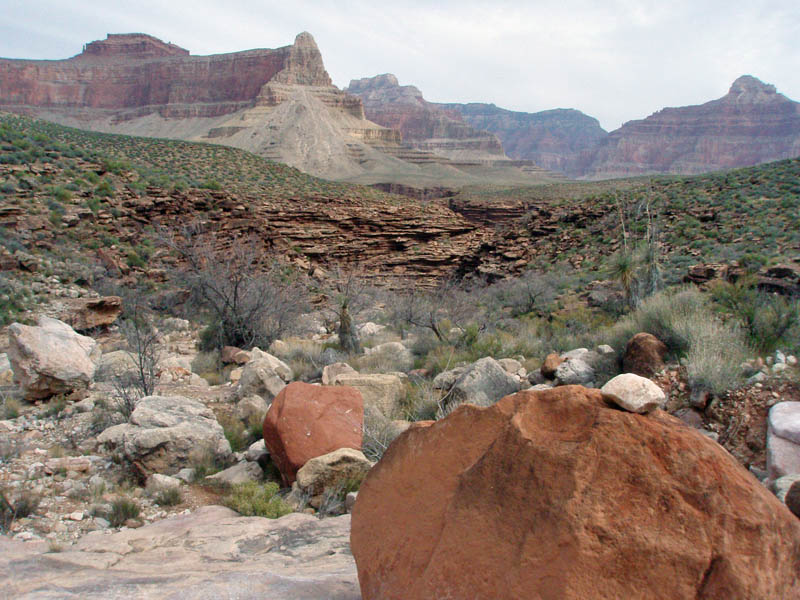
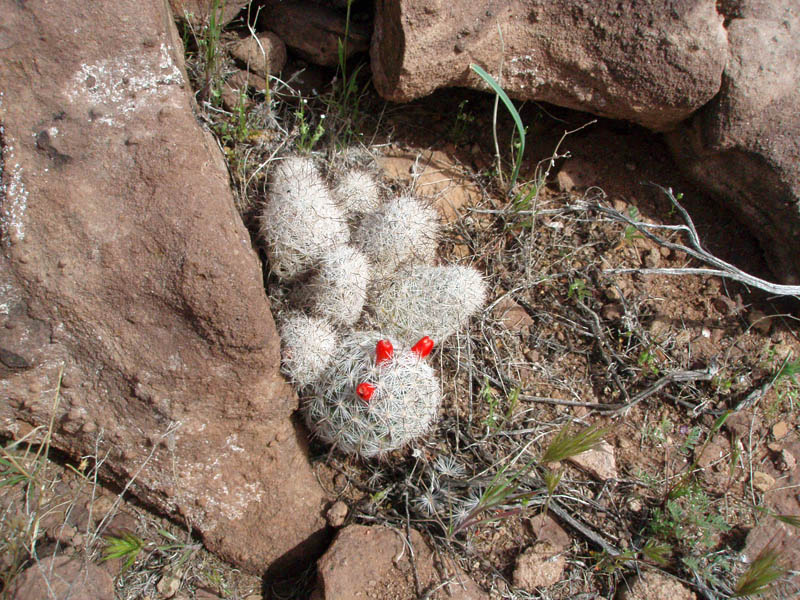
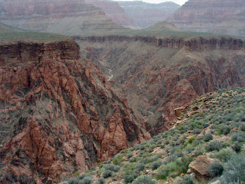
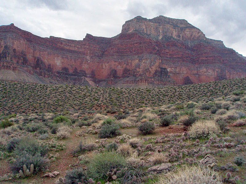
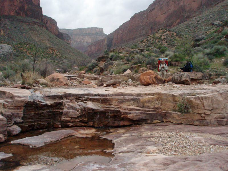
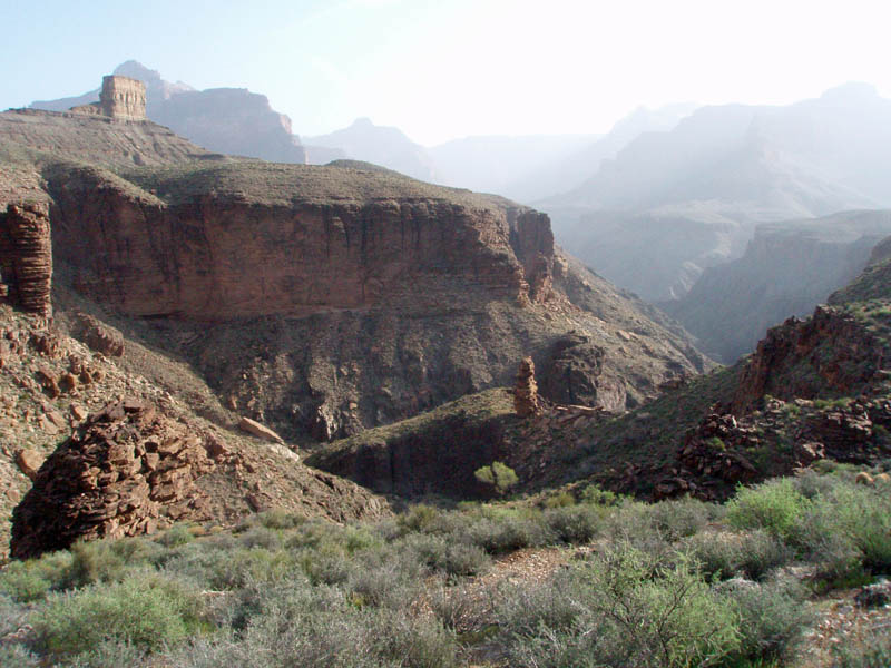
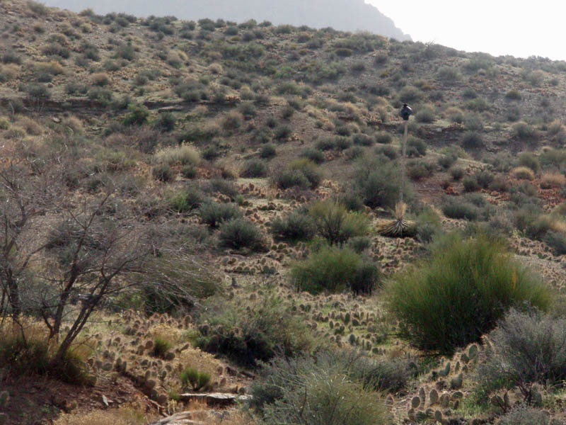
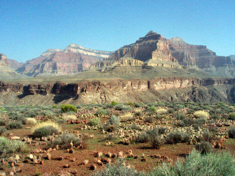
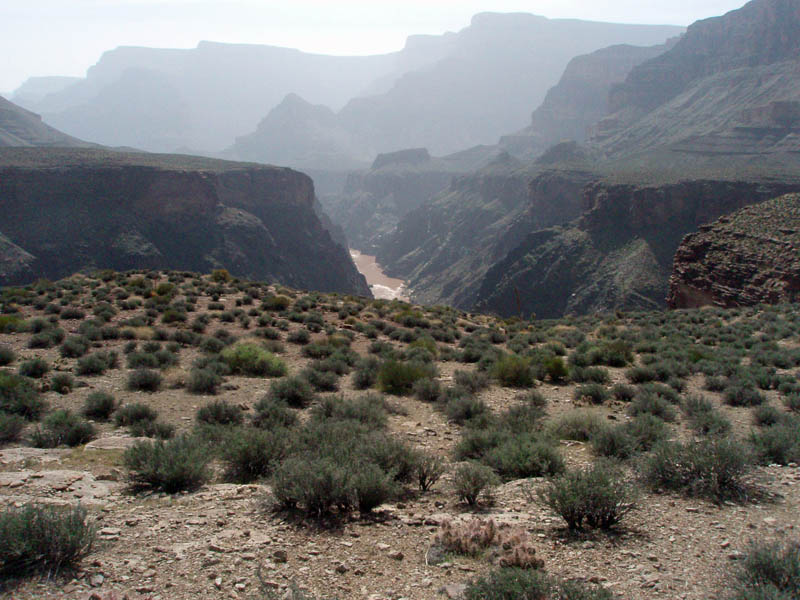
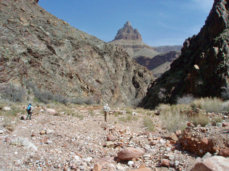
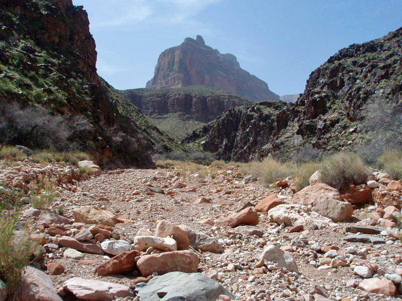
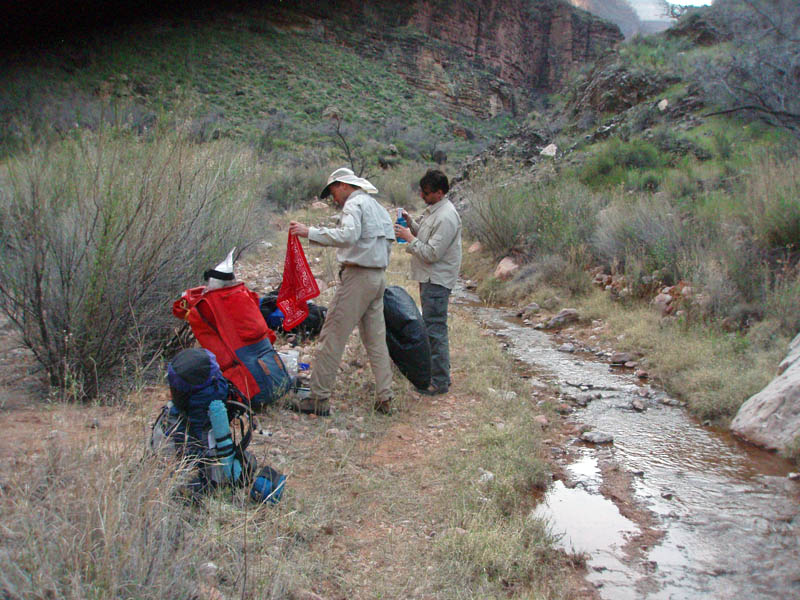
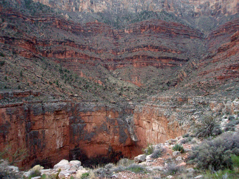
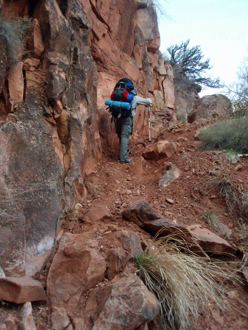
Hiking along the Tonto Trail under these conditions was quite magical. We were treated to a desert terrain that was tinged with green grasses and small wildflowers, which won't last for long. We happily contoured in and out of side canyons, finding ourselves alternately hemmed in by steep Redwall cliffs and, then, gazing nearly a thousand feet down to the mighty Colorado river.
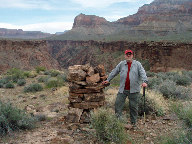
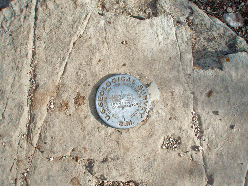
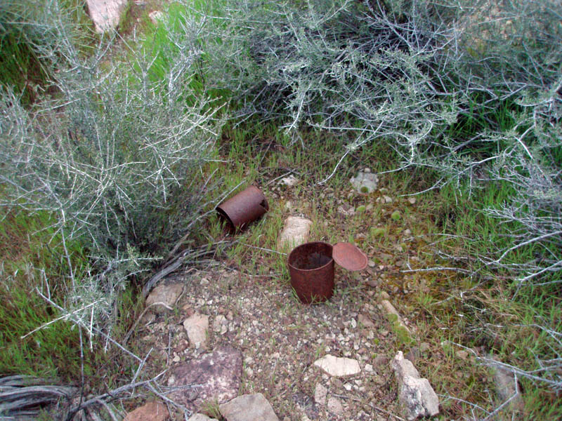
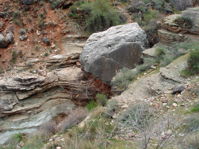
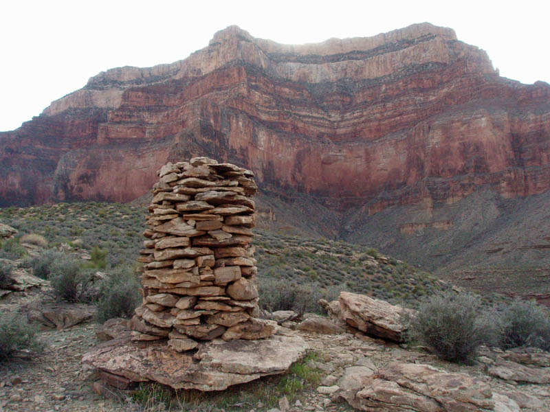
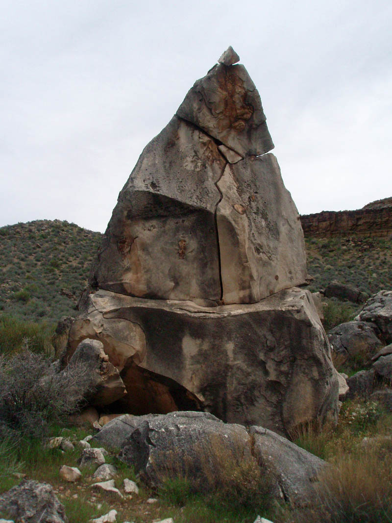
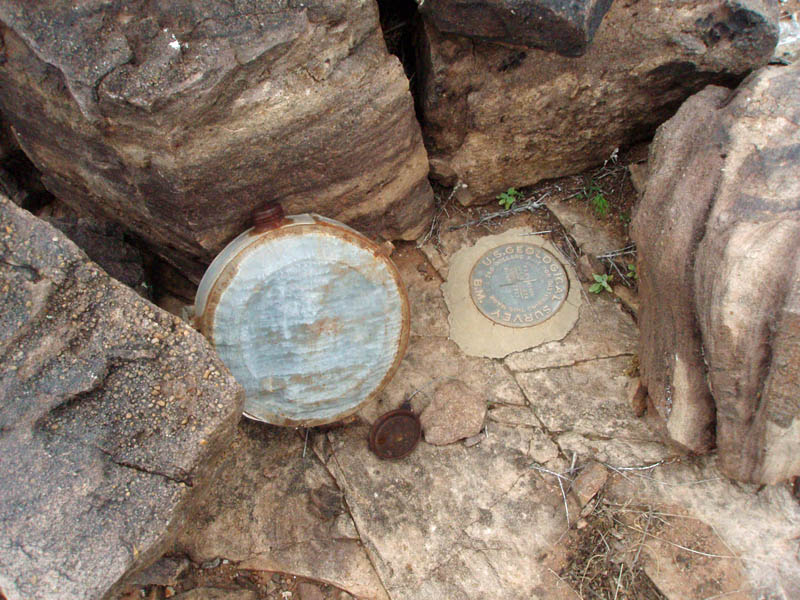
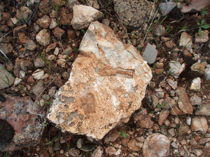
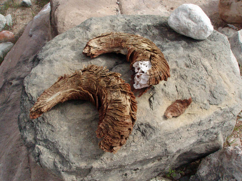
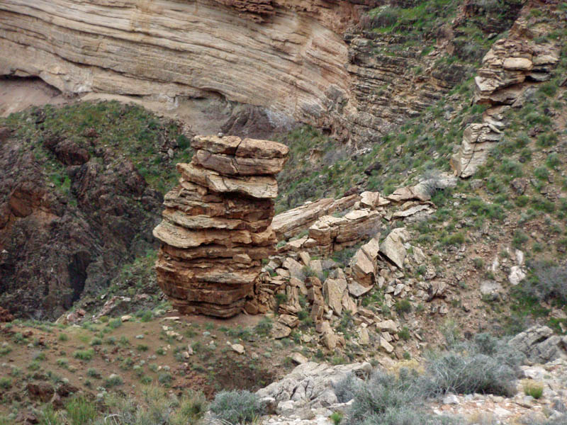
One of my objectives for this hike was to locate a couple of old benchmarks on the Tonto Plateau. These are not shown on newer canyon maps. I suspected that they would be giant rock cairns and I was not disappointed. Each one stood over 4 feet tall and were a bit too wide for me to reach around. They were used by early parties surveying the canyon. At one of these benchmarks we found an old metal canteen that must have been sitting there for many decades.
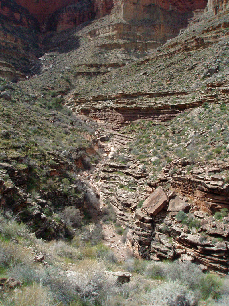
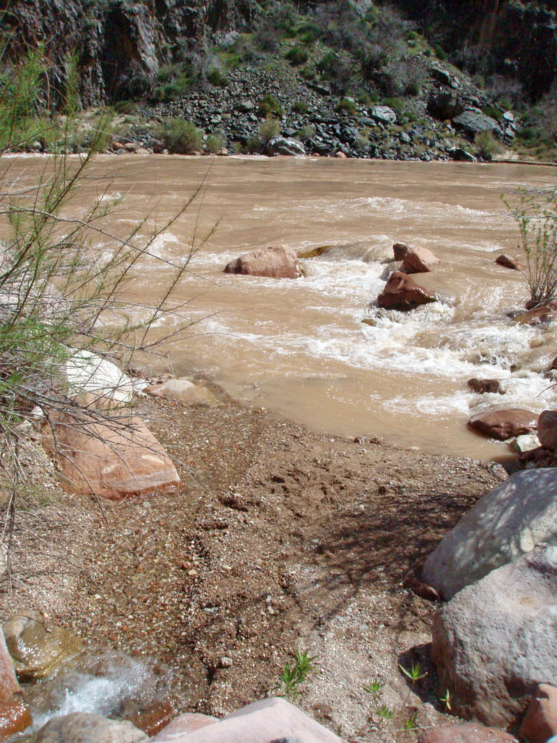
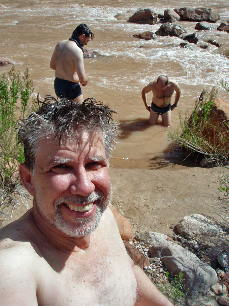
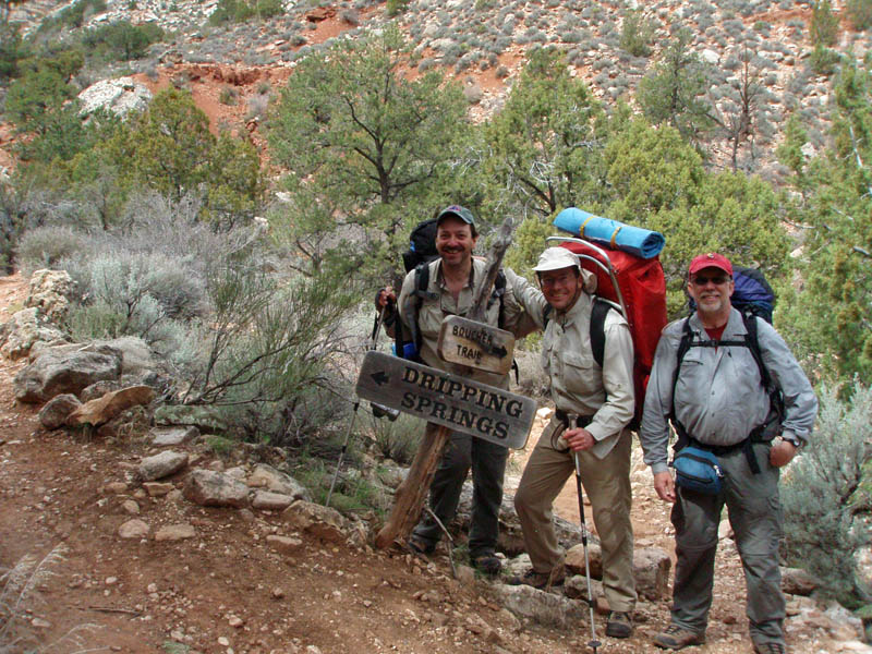
On our fifth day, we finished hiking through the "Gems" and reached Boucher Creek by noon. We dropped our packs and followed the small creek down for our first, and only, visit to the river. The water was cold, as usual, but enormously refreshing. We had intended to stay at the creek that night, our last. But it is 9 tough miles up and out from here, so we decided to fix an early dinner and get a jumpstart on these miles.
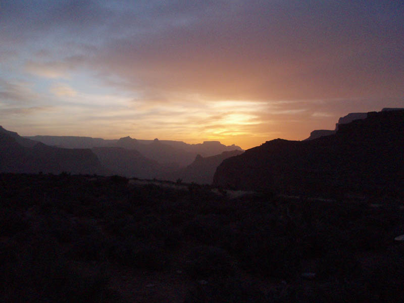
ALMOST FULL MOON
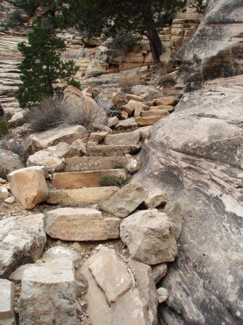
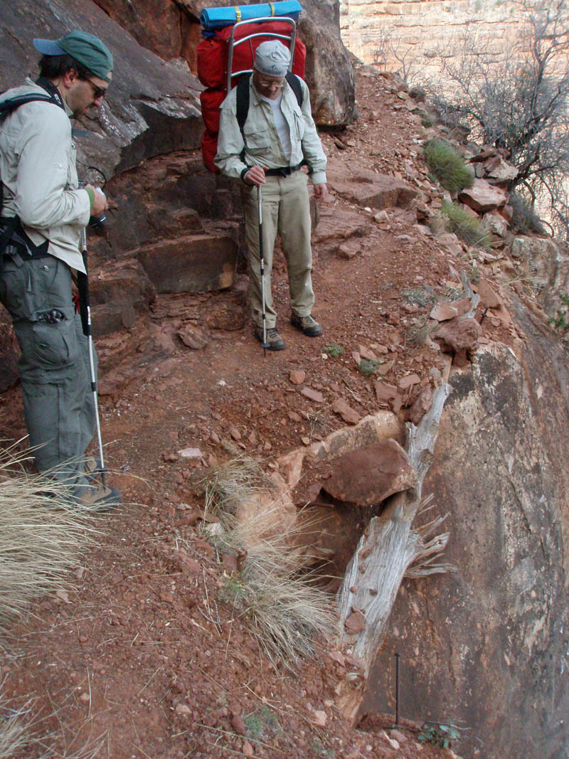
The trail up from Boucher Creek is steep and unremitting for two miles, until you reach the top of the Redwall formation. We ground our way through this section and topped out in deep twilight, but greeted by an almost full moon. There we camped. At 5 the next morning, we stirred from our sleeping bags and prepared for an early start. The trail climbs up through the Supai rock layer and there are places here where the footing is quite precarious. After that it is clear sailing to the trailhead at Hermit's Rest.
We topped out on this windy and very cool day at 3 in the afternoon, with plenty of time to clean up and enjoy a fine meal at the Bright Angel Lodge before heading home. Later, words from a poem Bass wrote a hundred years ago wistfully stirred in my head, "Will you join me ... for a roam through wonderland?"
Yes, I will.
Dennis Foster has spent more than 300 nights camped in the Grand Canyon backcountry since 1977 and celebrated his first hike of the Gems.