An Unexpected Stay
in Vishnu Canyon
A Second Unsuccessful Attempt for Asbestos
A Return via the River at Clear Creek

Saturday, March 14 to Saturday, March 21, 2015
by Dennis Foster


The route from Hall Butte to Vishnu is behind this pinnacle.


Click on any picture to see a larger image.

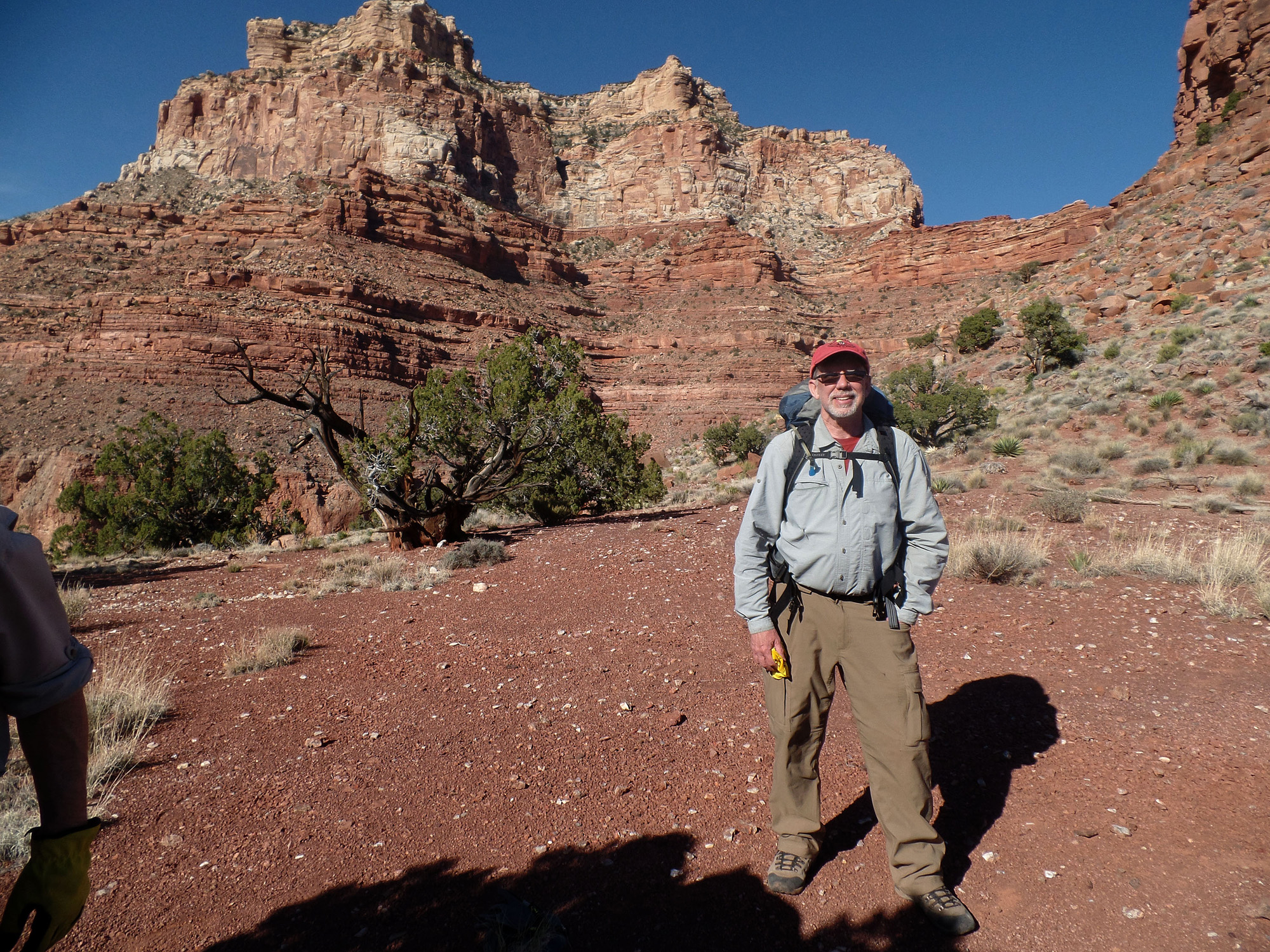
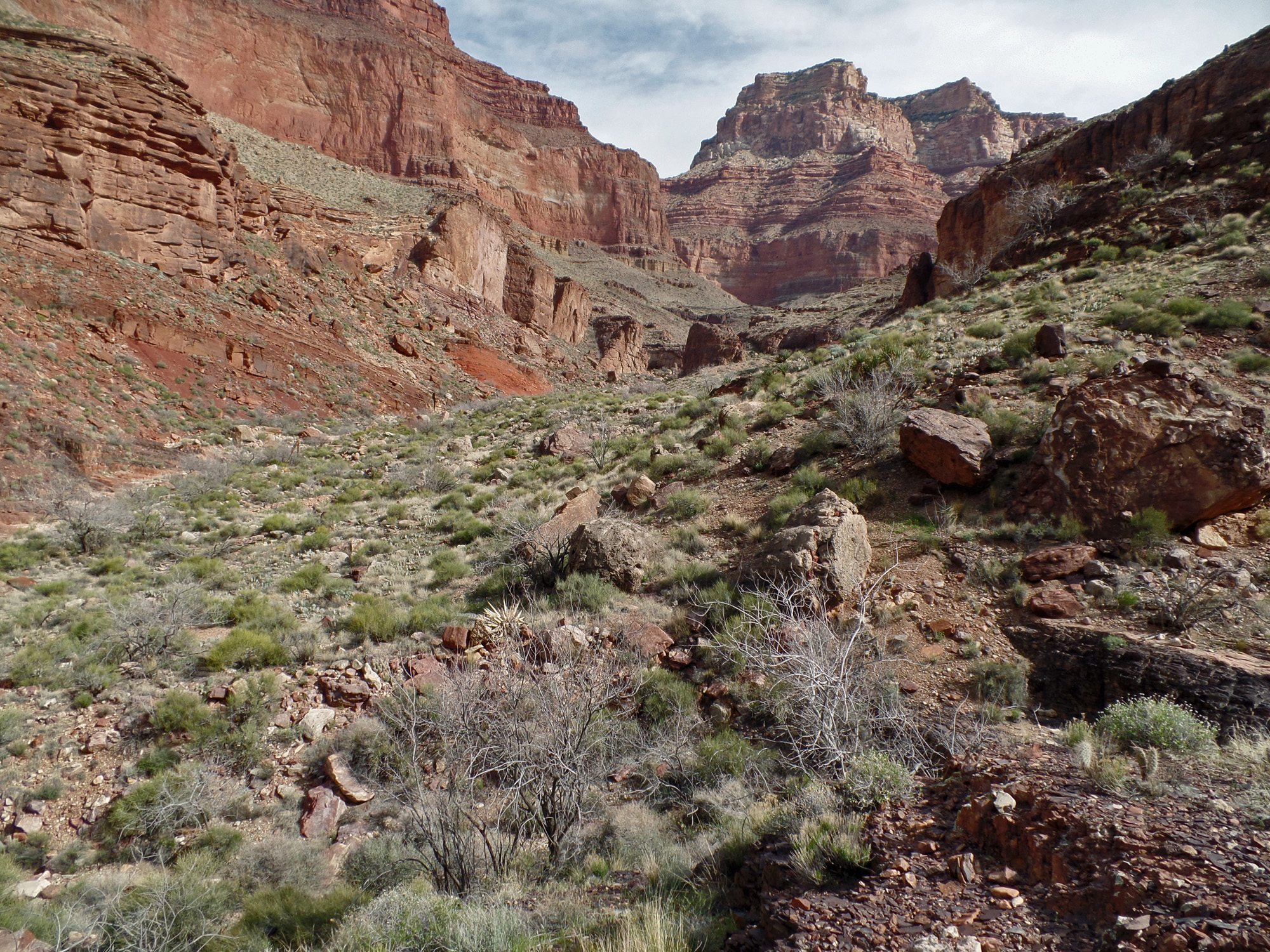
     In 1981 I took my longest backpacking trip in the canyon to date - nine days.  My main objective was to hike on the north side of the river to Asbestos Canyon and visit that area, where John Hance once ran a mining operation.  I would pass through Asbestos twice more on hikes from Nankoweap to Phantom; once in 1984 and again in 1993.  Those were all during the days of film and I was usually quite frugal in my picture taking.  In recent years I've wanted to go back and get a lot of photos of this area and do more exploring.  In 2010 I was on a trek to Asbestos with Bill Ferris.  But, coming down into Vishnu from Hall Butte, I knocked a rock loose that ended our ambition (read about that here).  A few years have now passed and I am once again on the quest to get to Asbestos, this time with both John Eastwood and Bill Ferris.  Our plan was to take the high saddle route from Clear Creek to Vishnu Canyon and then on over to Asbestos.  For our return, we would follow the Tonto Plateau to a point where we could descend to the river at Clear Creek.  Then we would head up that creek and climb back to the plateau and catch the Clear Creek Trail.

Day 1 - Down the South Kaibab Trail to Phantom Ranch and up the Clear Creek Trail (Saturday, March 14)

     The weight of my pack at the beginning of the hike was 43 pounds, which included only two liters of water.  I was up at 4 a.m. and on my way to pick up Bill at 5:30 a.m.  Then we drove over to pick up John, who had overslept!  Still, we were able to leave his place by 6:30 a.m. and by 8:30 a.m. we were at the Visitor's Center waiting for the bus to take us to the trailhead.
     At 9 a.m. we were starting down the South Kaibab Trail.  It took us 45 minutes to reach Cedar Ridge.  After a fifteen minute rest break we were on our way to the top of the Redwall, which we reached in an hour.  Along the way, we cached our microspikes, which we didn't need on the way down, but which we may need on the way up at the end of our hike.  After another fifteen minute break we were on our way, crossing the Tonto Trail at 12:10 p.m. and getting to one of our favorite rest spots - "Big Shady" - eight minutes later.  We spent almost 40 minutes on the cool rocks in this perpetually shaded spot near the base of the Tapeats cliffs overlooking the Colorado River.  It had been sunny and warm all day, but very pleasant in the shade and we much appreciated this rest break before pushing on.  We left at 1:05 p.m., reaching the black bridge one hour later and arriving at the Phantom Ranch canteen at 2:30 p.m.  Along the creek we had to follow a diverted trail as there was construction work going on to replace the water pipe here.
     For this hike, we were unable to get our first night at the Bright Angel campground.  Instead, we were going to have to hike up the Clear Creek Trail to the Tonto Plateau in order to camp.  Since that would be a dry camp, we needed to load up with water at Phantom.  I figured that my pack weighed about 57 pounds, if not more, because of the added water, when we left the canteen at 3:20 p.m.  It was a grueling slog to get up the Clear Creek Trail.  It was 6 o'clock when I reached the boundary with the Clear Creek use area and the camping spots outside of the corridor.  John and Bill had arrived about twenty minutes before me!  While at our campsite, Bill wandered up the slope to get some good photos of Zoroaster at sunset.
     I was totally exhausted at this camp.  It literally took me hours to eat and finish my dinner!  It wasn't until after 9:30 p.m. that I roused myself to change my clothes and hop into my sleeping bag.  I must also have run a bit of a fever as I woke up at 2 o'clock in the morning soaked in sweat.  Ugh!  I added my new sleeping bag liner to my setup and was fine the rest of the night.

Click on any picture to see a larger image.


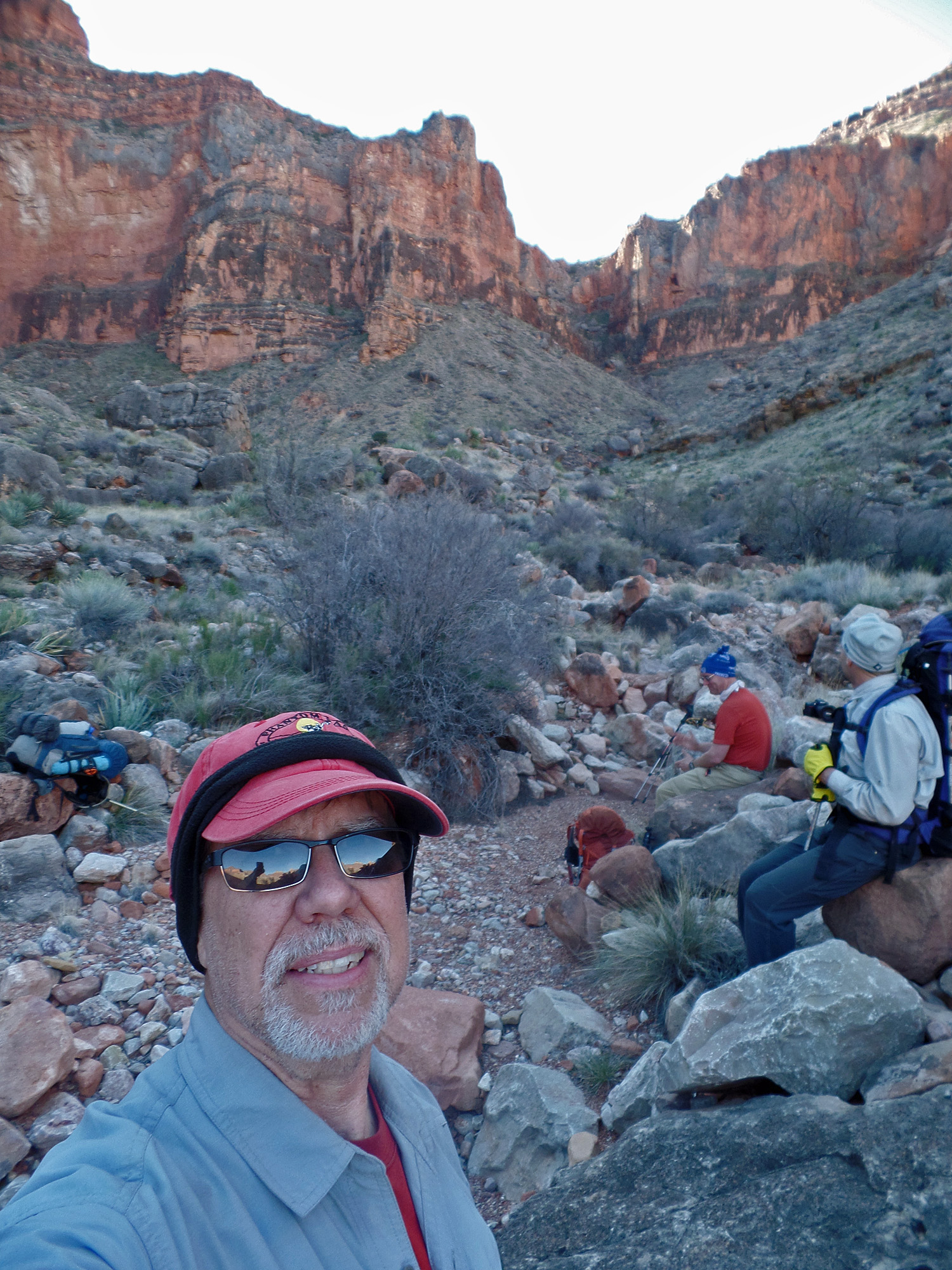
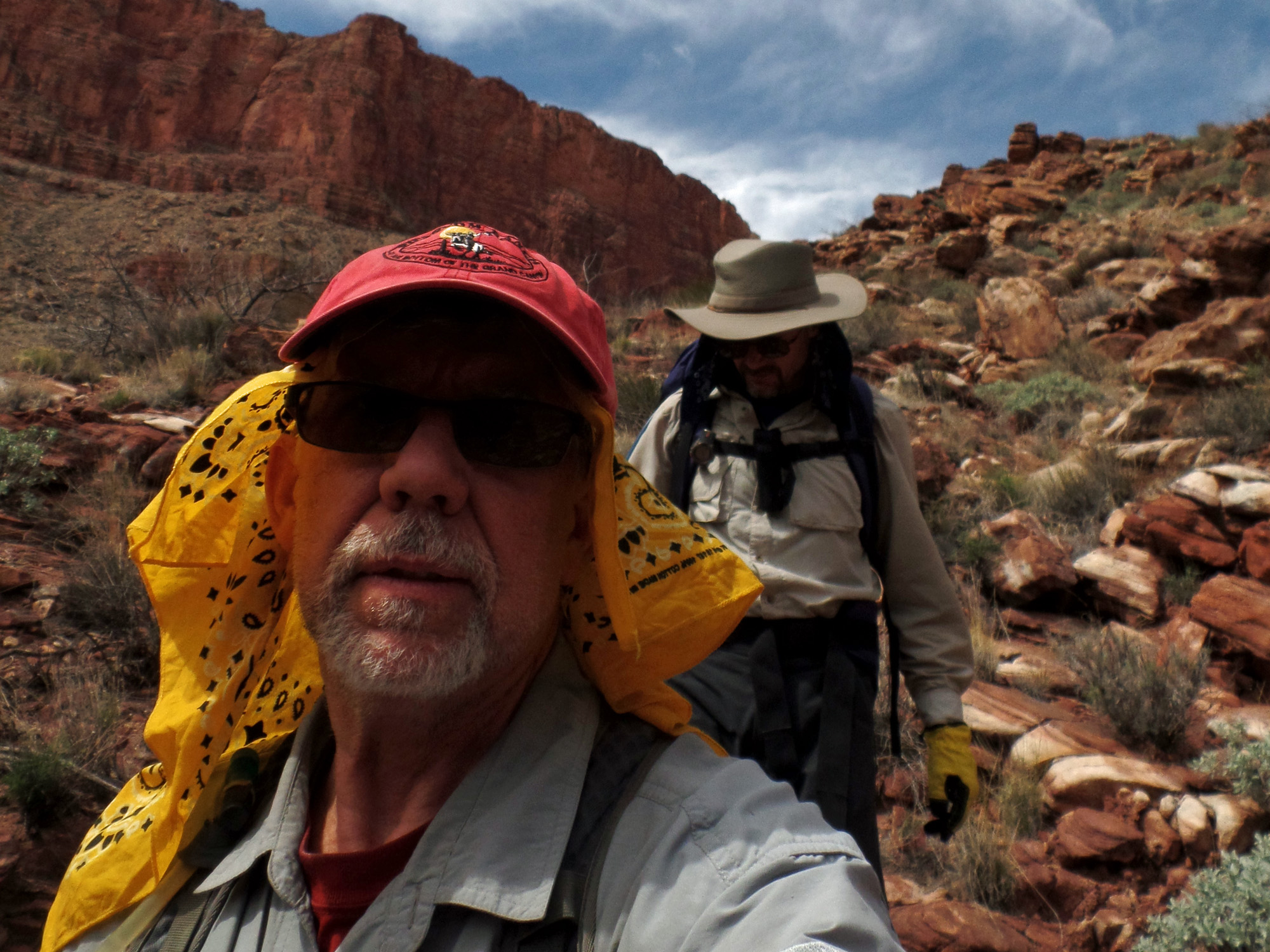
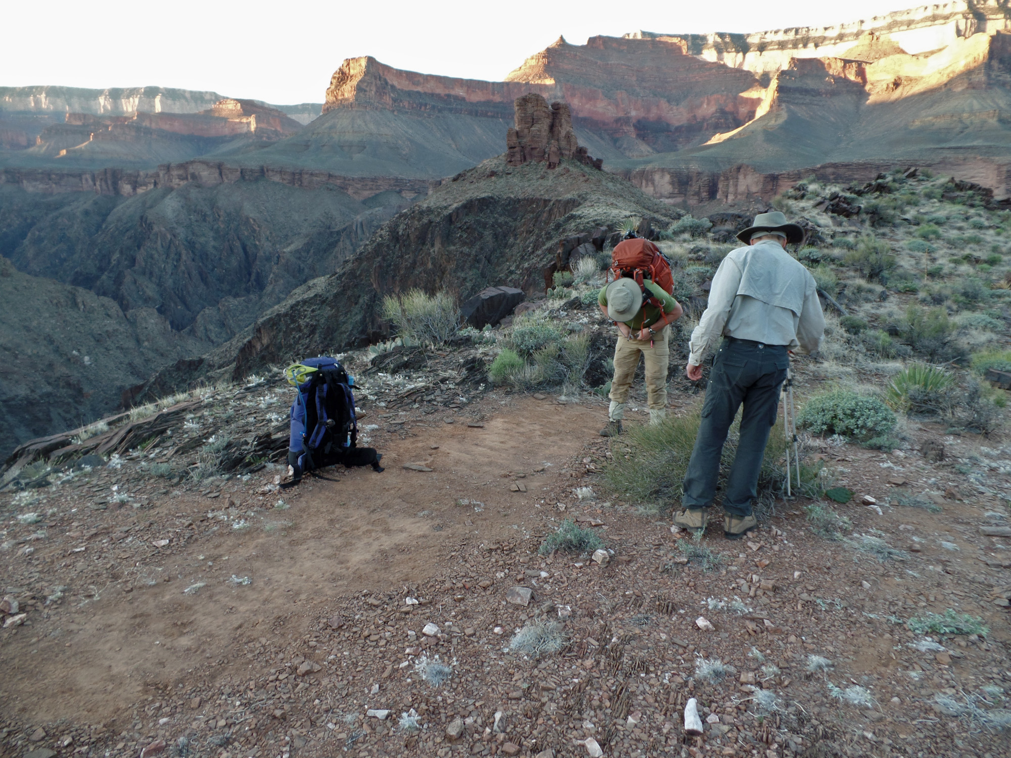
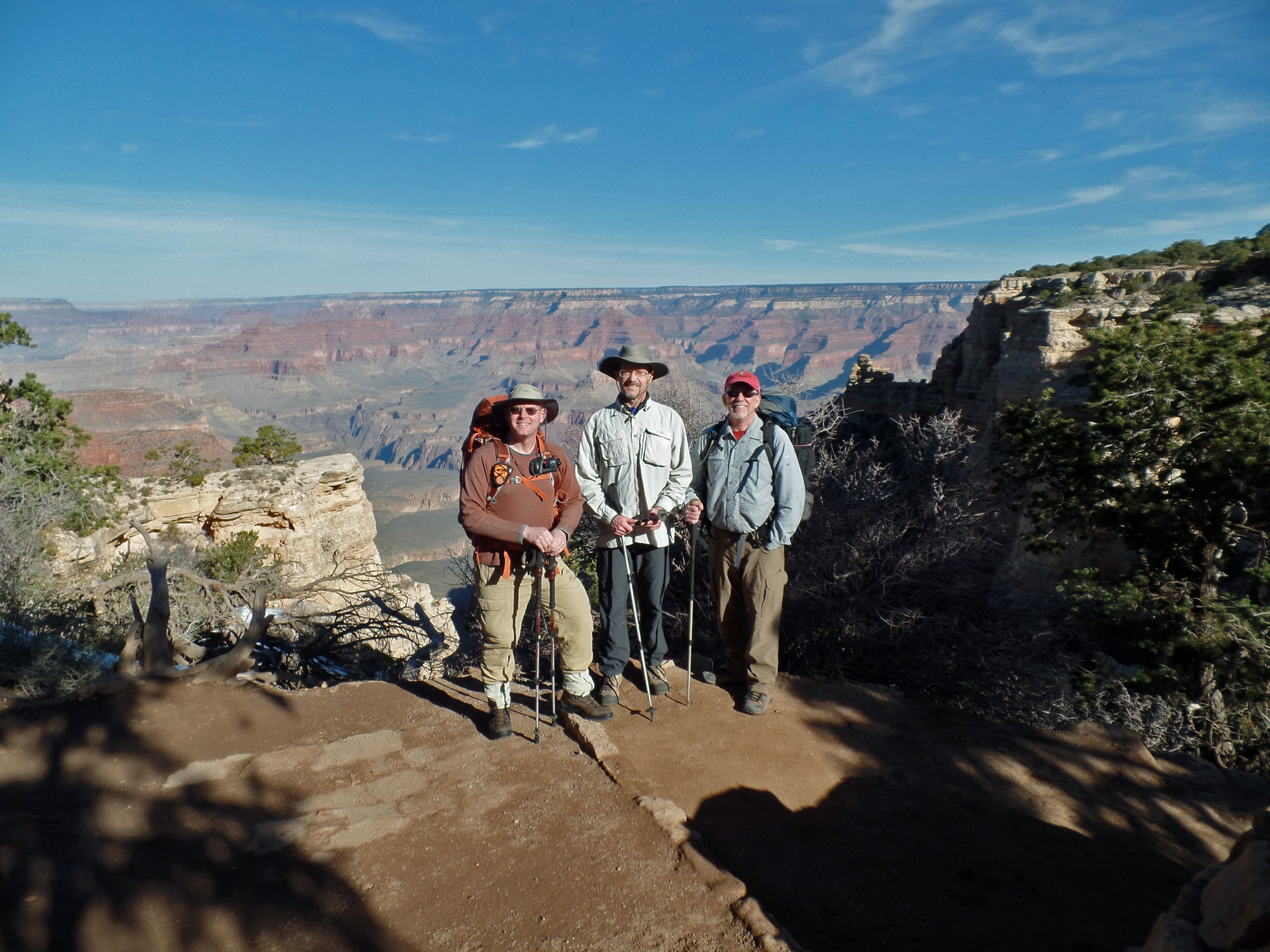
At the South Kaibab trailhead.

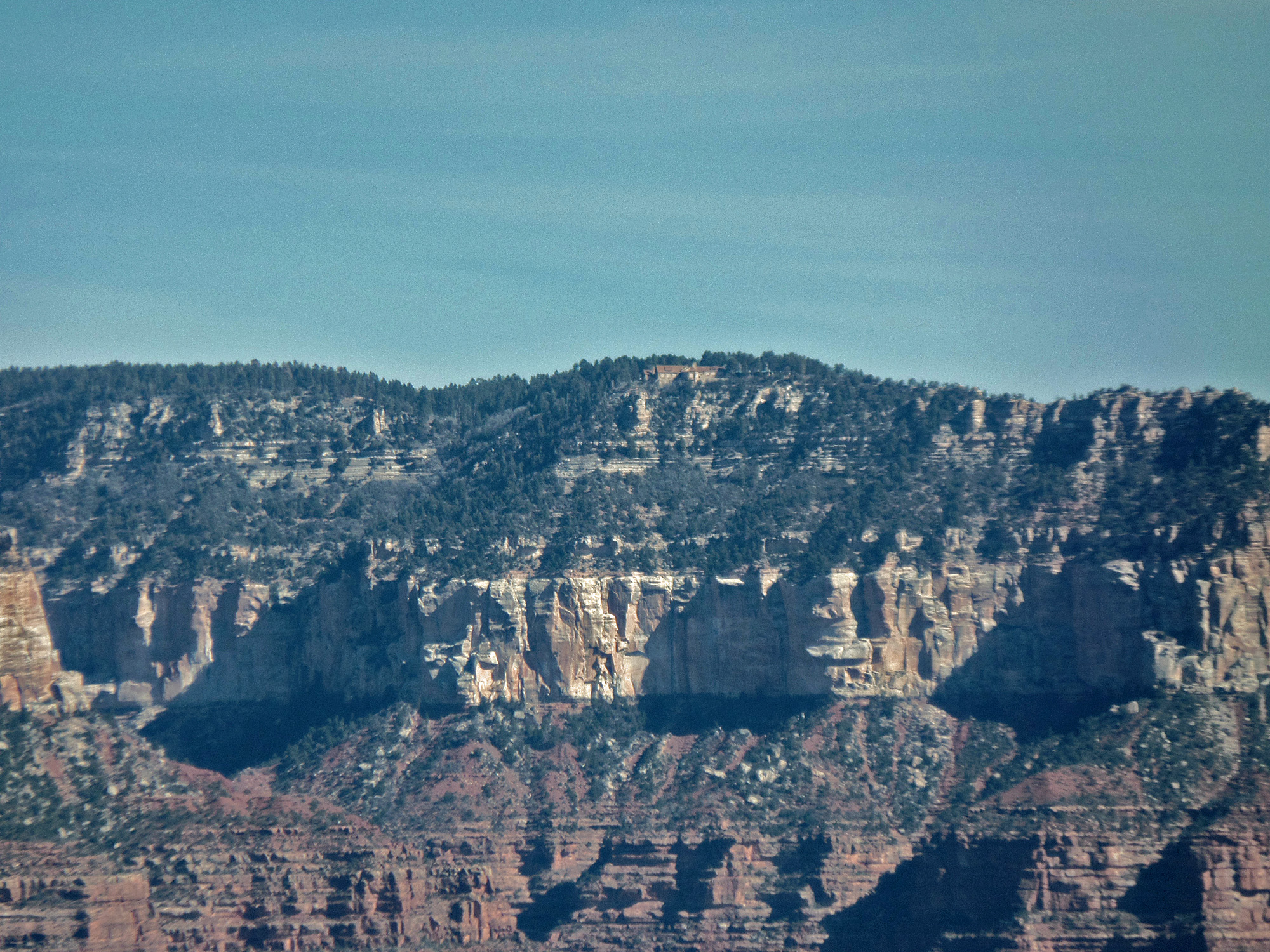
Zoom view of north rim lodge.

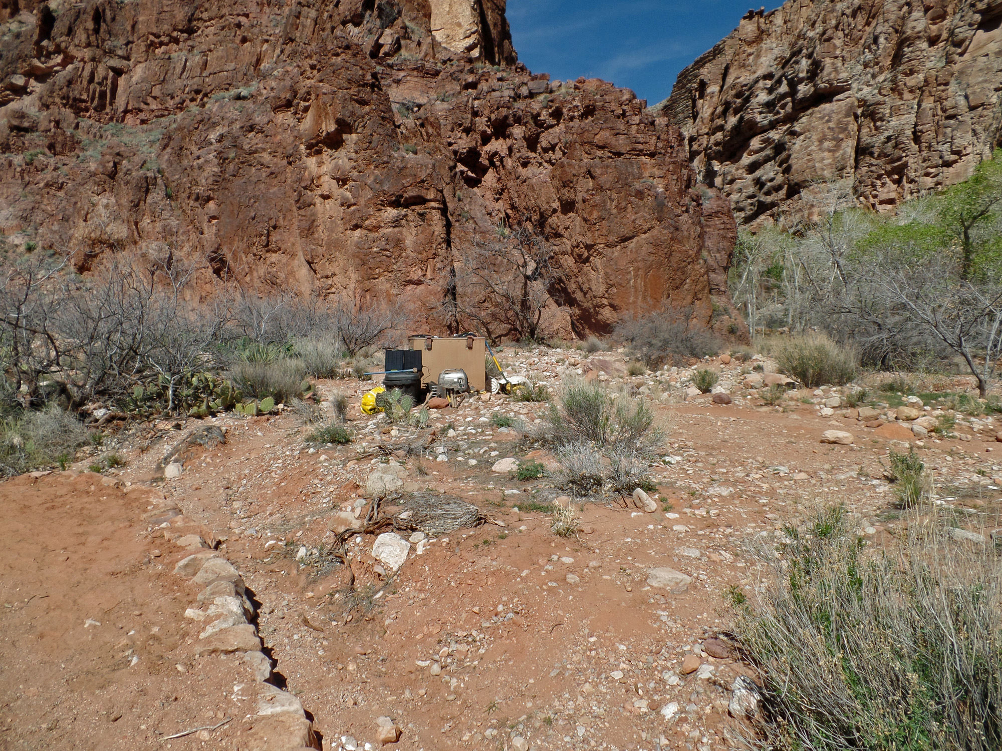
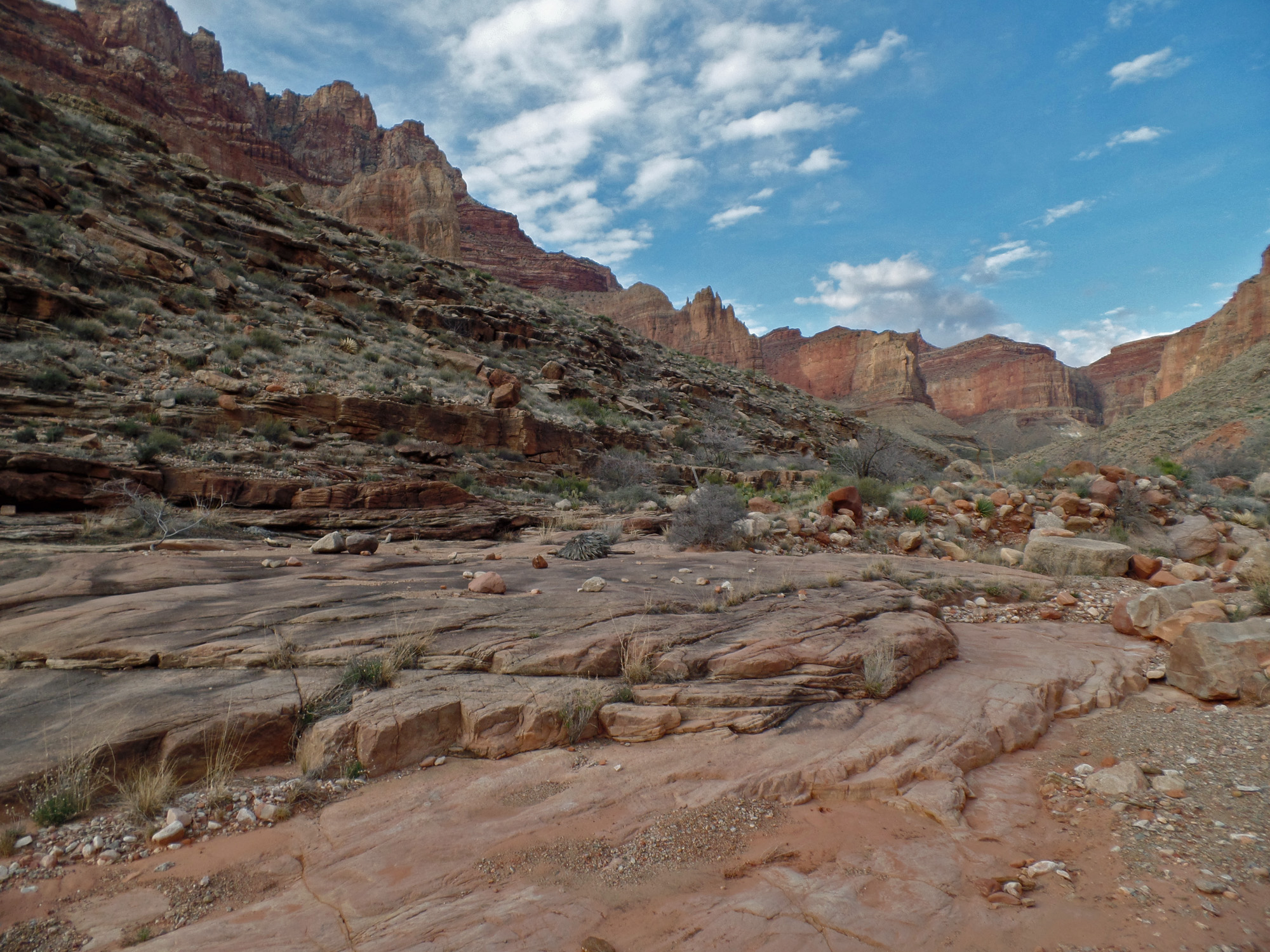
Cache spot below O'Neill Butte.

Switchbacks in the Redwall.
 
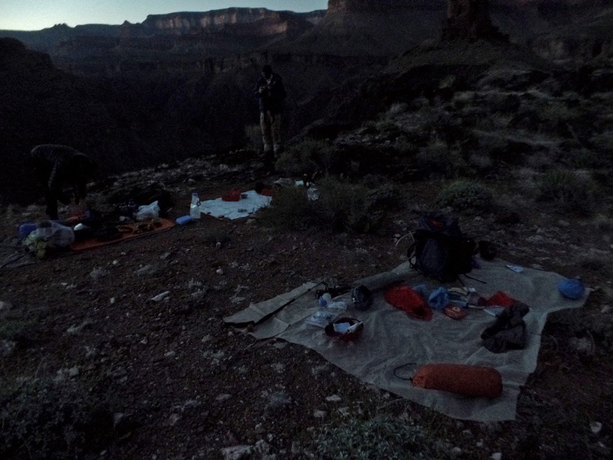
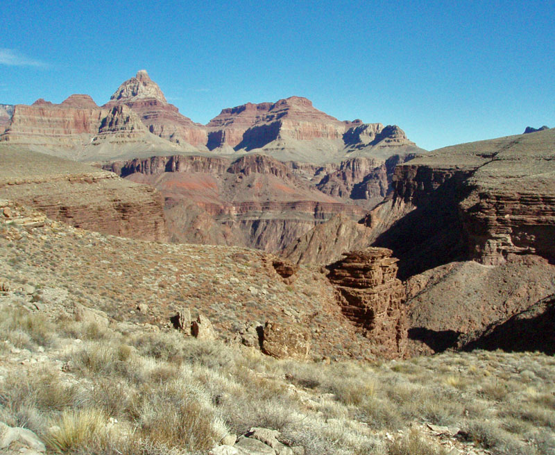
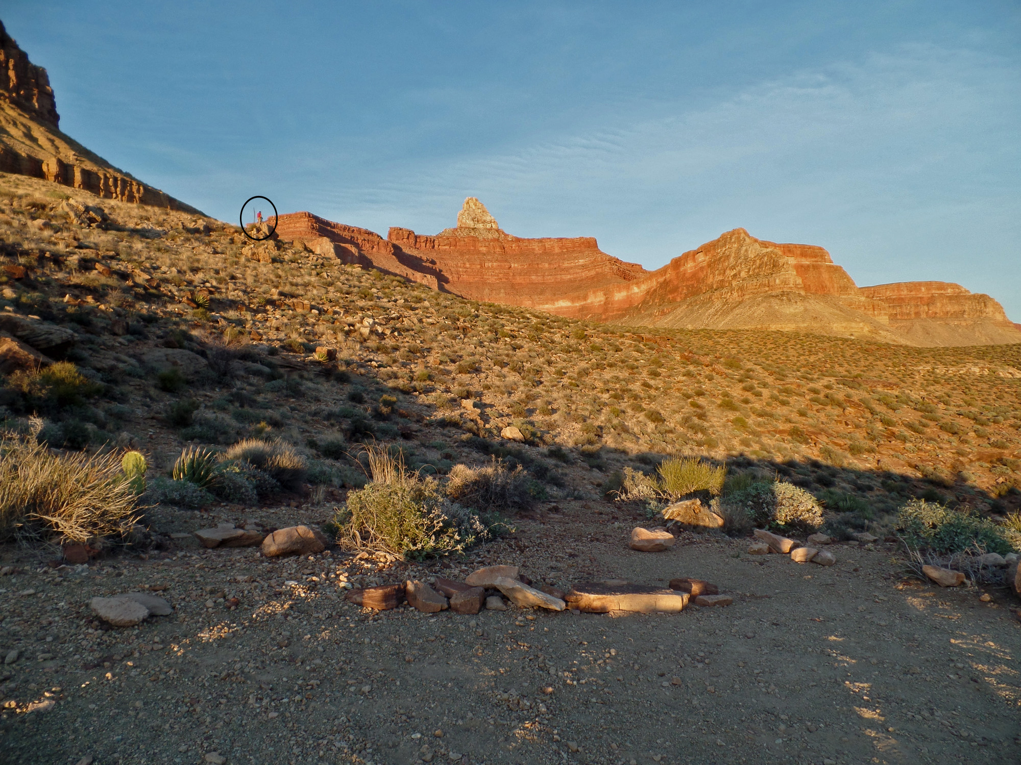
Zoroaster (Bill up high) from camp.

Camp on Clear Creek trail.

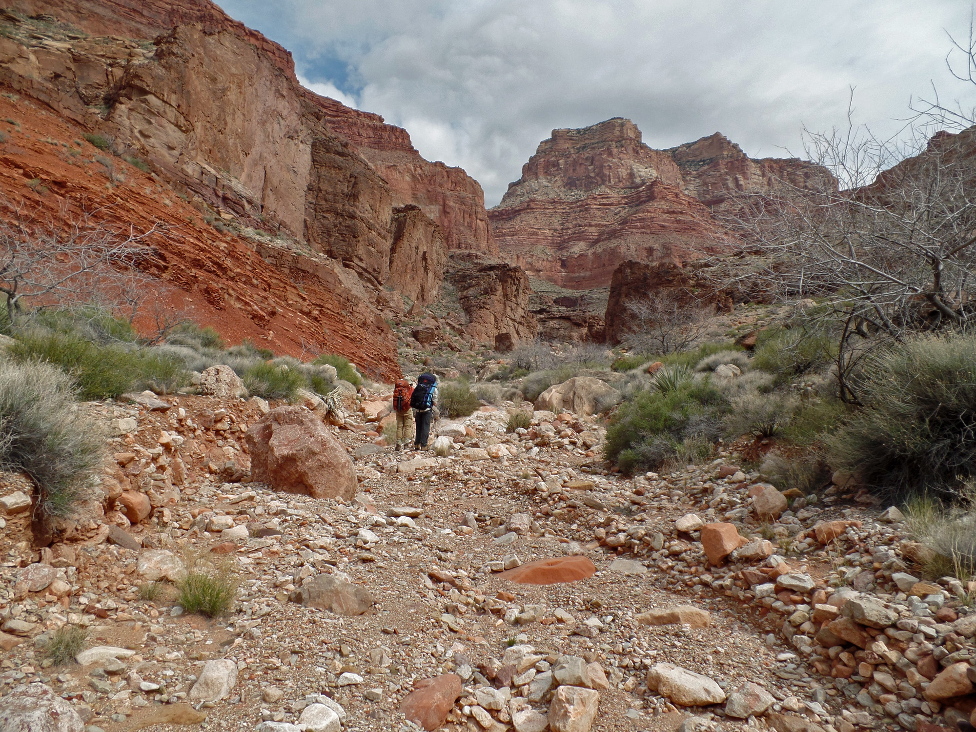
Day 2 - From the Tonto camp on the Clear Creek Trail to east arm of Clear Creek (Sunday, March 15)

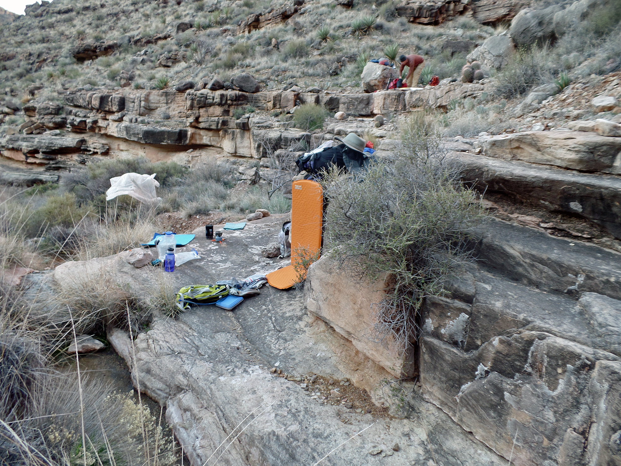
     We were up between 5:30 and 6 a.m. and on our way with still-heavy packs by 8:30 a.m.  Within a half hour we were passing through a small 
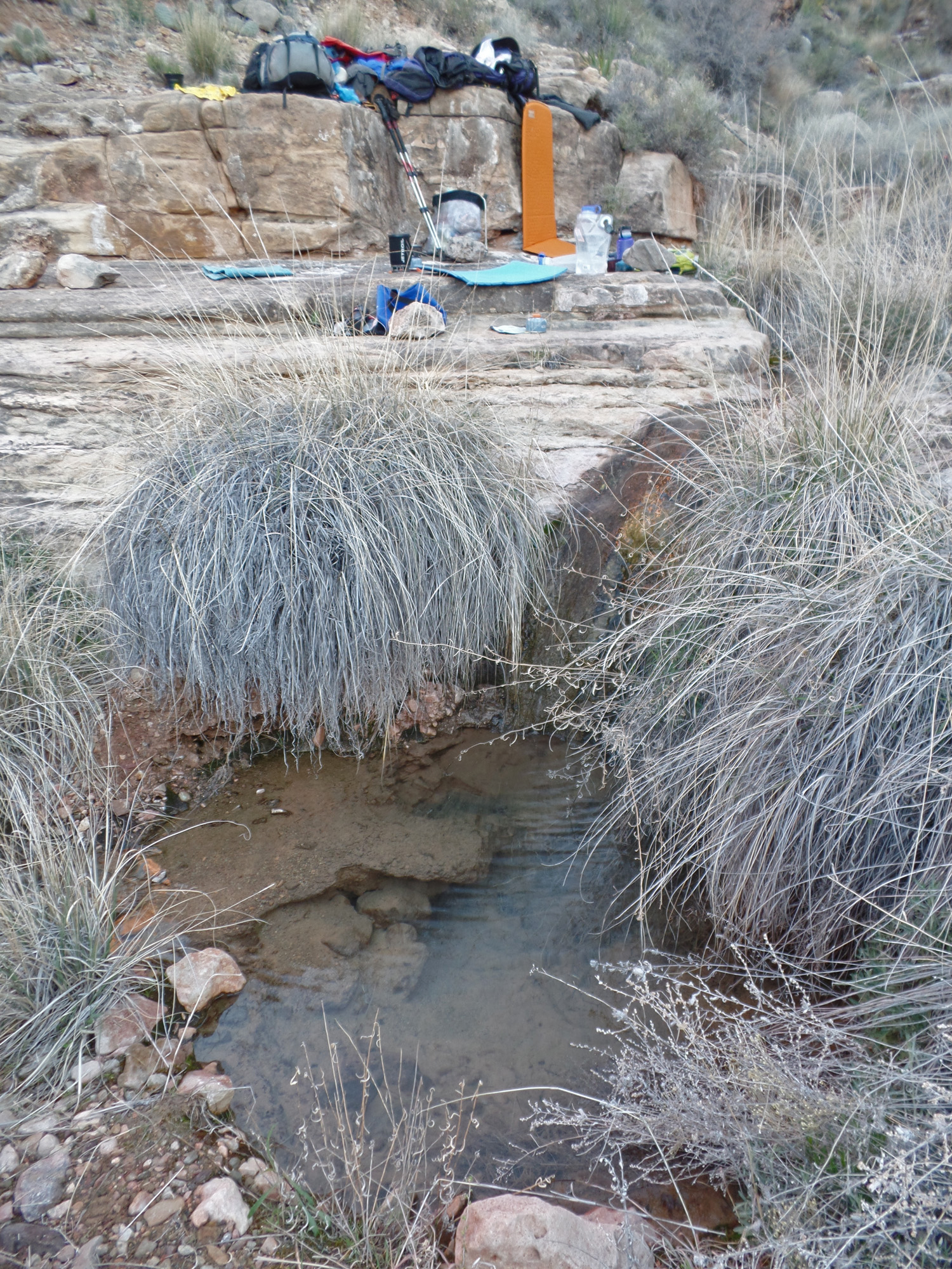
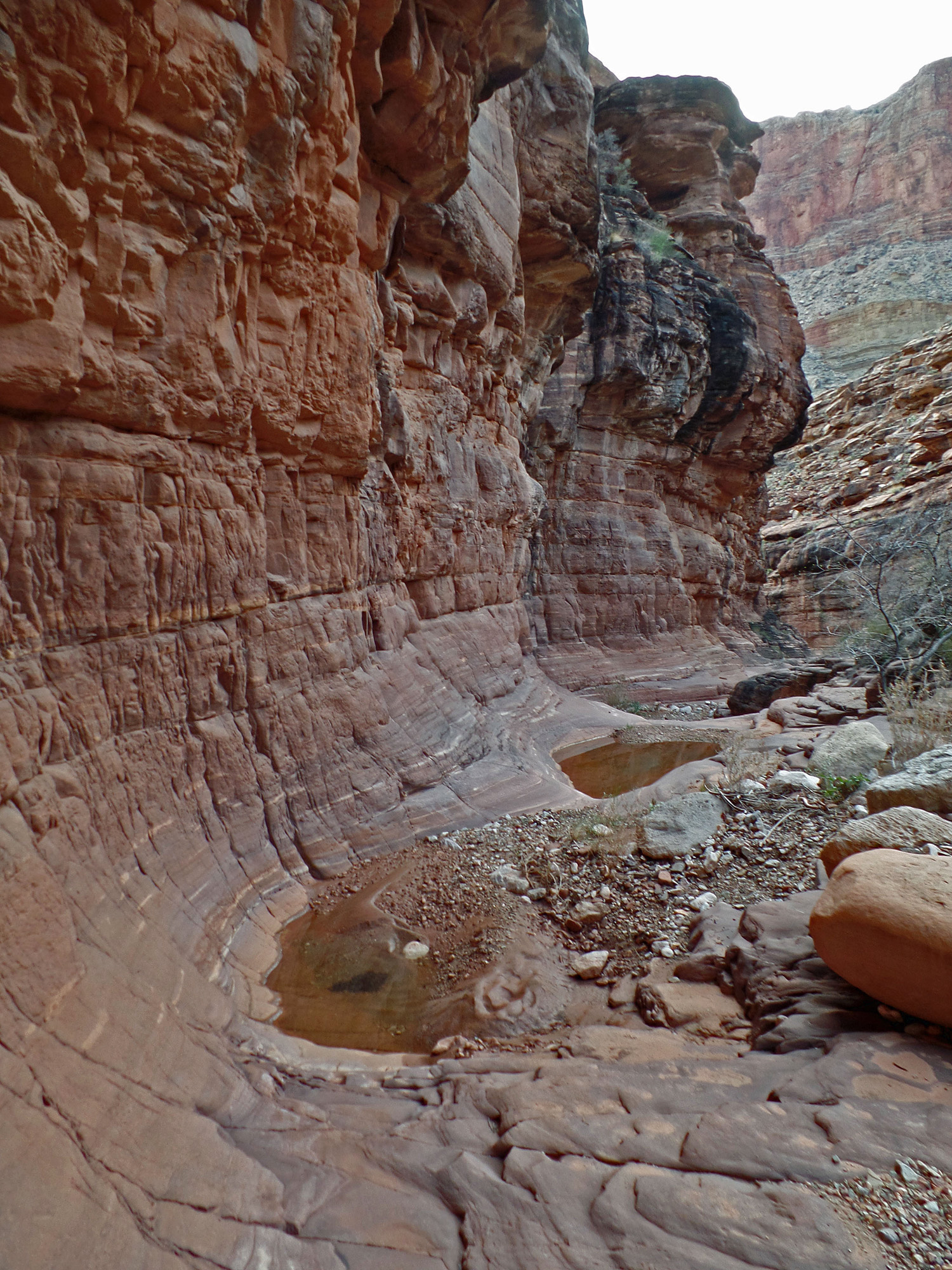
side canyon that often has a long-lived pocket of water and this time was no different.  As best I can tell, this is the only place you might see water until you reach Clear Creek!  We also saw the skull of an unfortunate beast - deer I guess.  And, I noticed quite a few agaves just getting started.  It seems that they grow very fast and there is a very narrow window of opportunity to see them at this stage in their development.  At nearly noon we stopped for a 50 minute lunch break.
     As we descended down to Clear Creek we passed a spot where there were shovels, picks and hoes.  Maybe some trail improvements going on?  I couldn't tell any real difference - the trail slices down through the steep red granular rock (Hakatai shale, I think) along a pretty narrow track.  Once in the bed we saw more tools and some containers.  Something was being worked on, but there wasn't anyone around when we passed through.
     We had reached the bed at 2 p.m. and a half hour later we were at the east arm where we would leave the main flow of water in the creek.  We rested here for 75 minutes and then headed up the narrows of this arm.  I only carried four liters of water, while John had six and Bill had eight!  I was counting on there being water up where we would camp, as Bill and I had seen some years earlier.  We reached the area where the valley starts to form and where the Tapeats break is that leads to the Wotan-Angels Gate saddle.  Camping is sketchy here, but we all found some suitable solo spots to set up our tents.  There was water here and I pumped out six liters for the hike tomorrow.  We were all eating dinner just at dusk and I was feeling much better than I had the previous night.

Click on any picture to see a larger image.


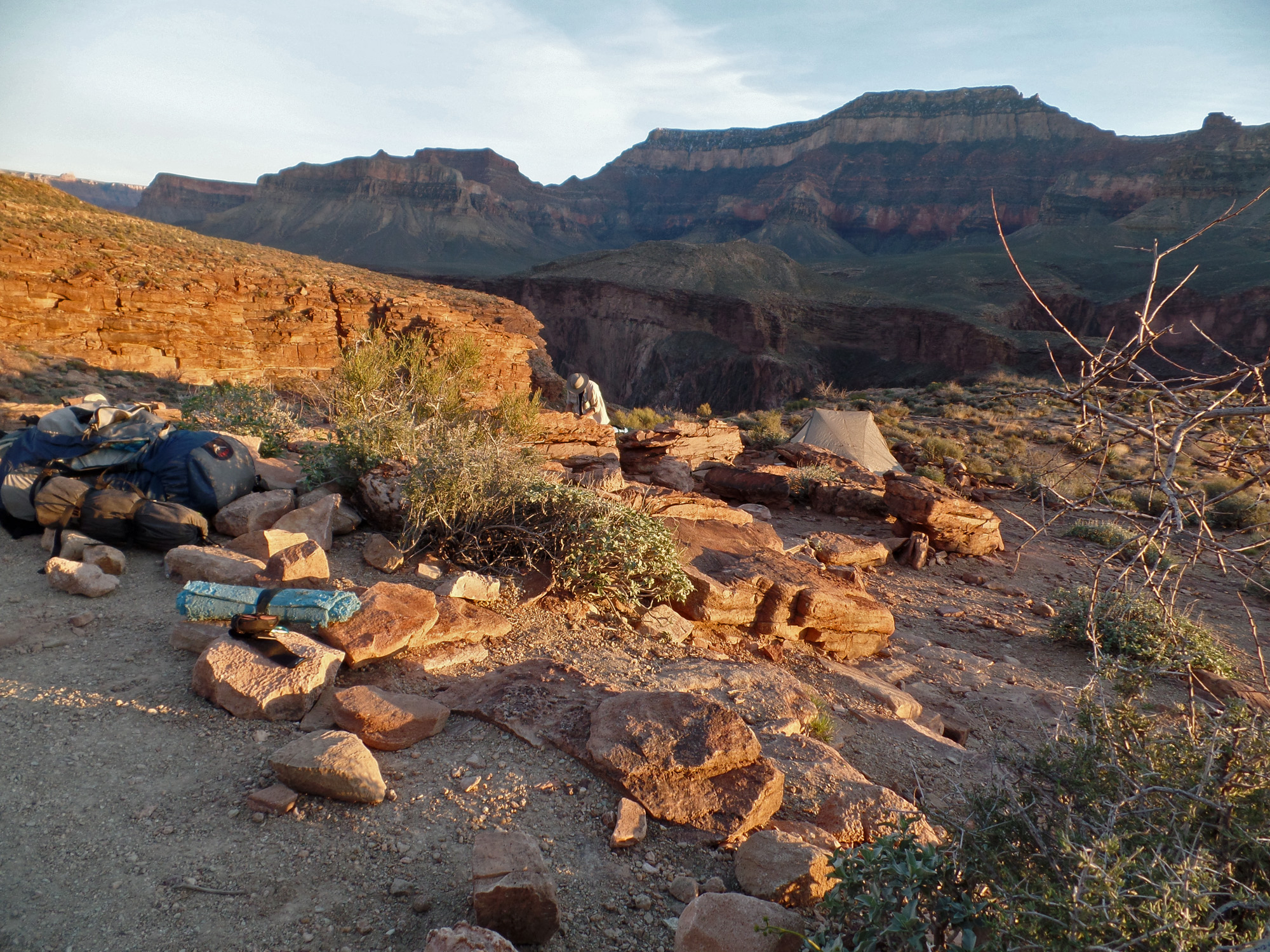
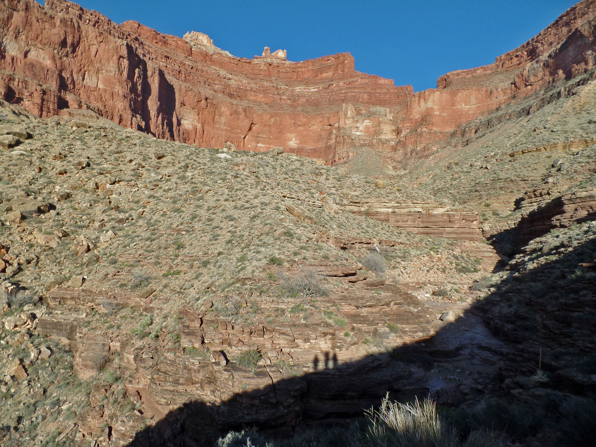
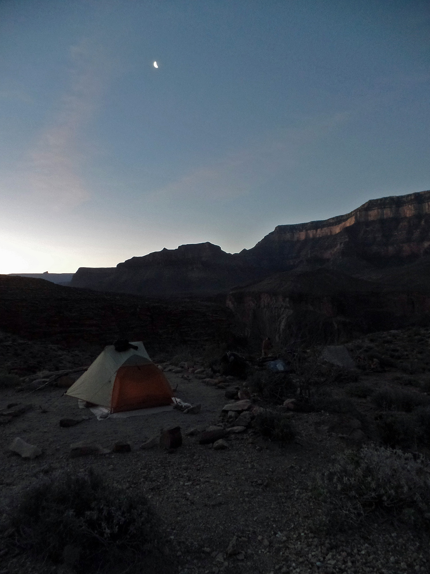
Early morning with a crescent moon from our camp on the Clear Creek trail right at the boundary between use areas.

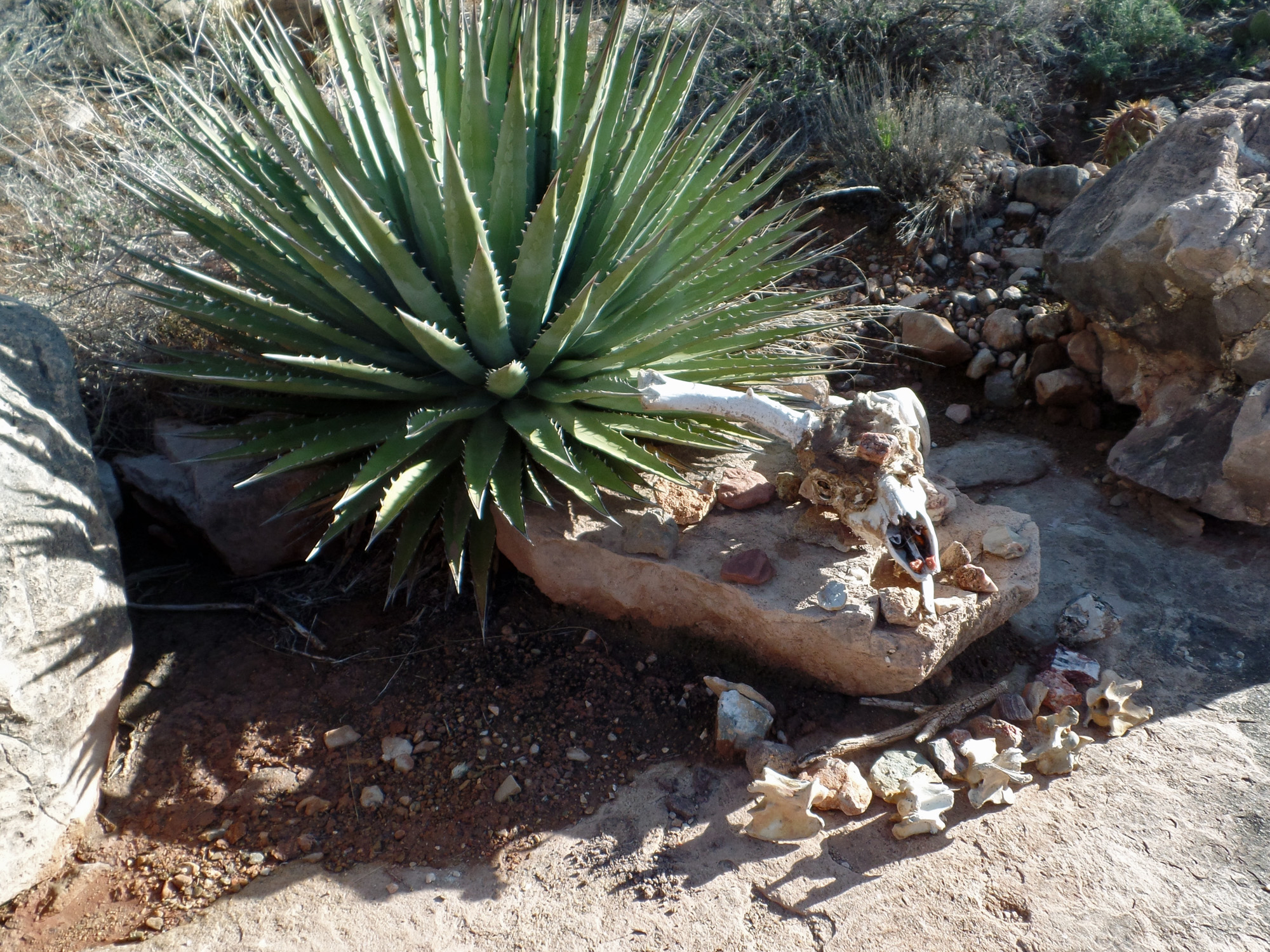
Not everyone makes it!

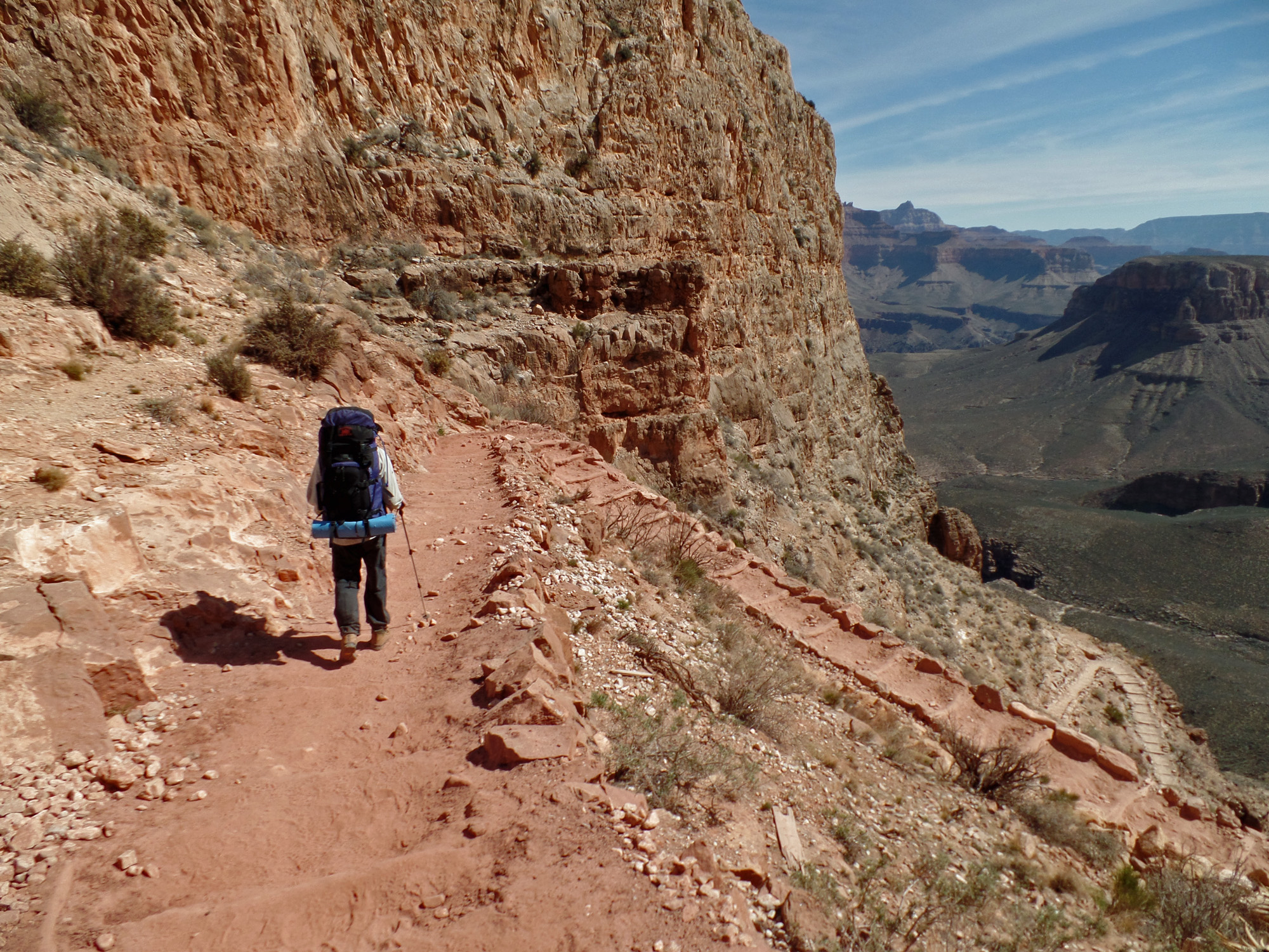
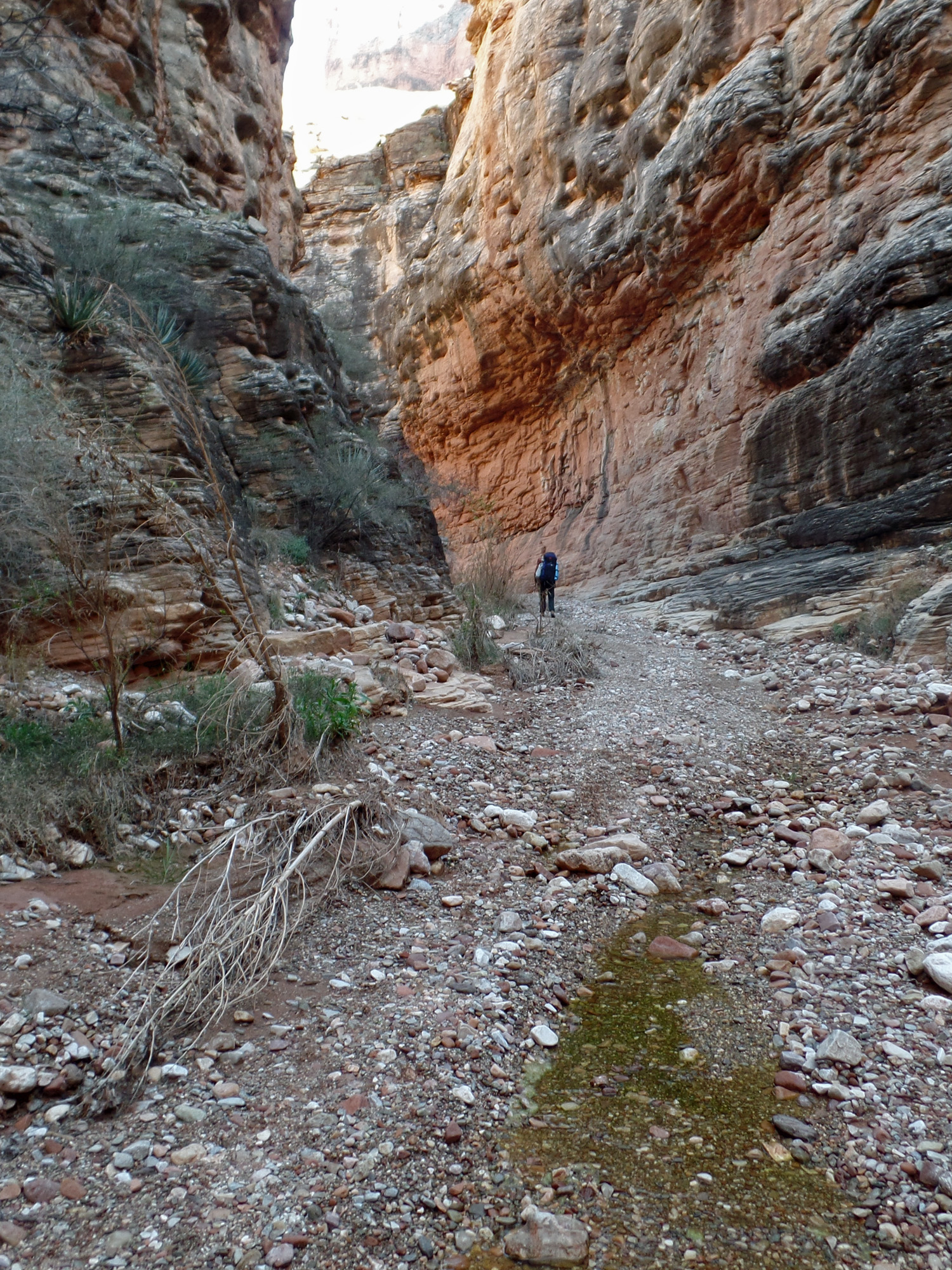
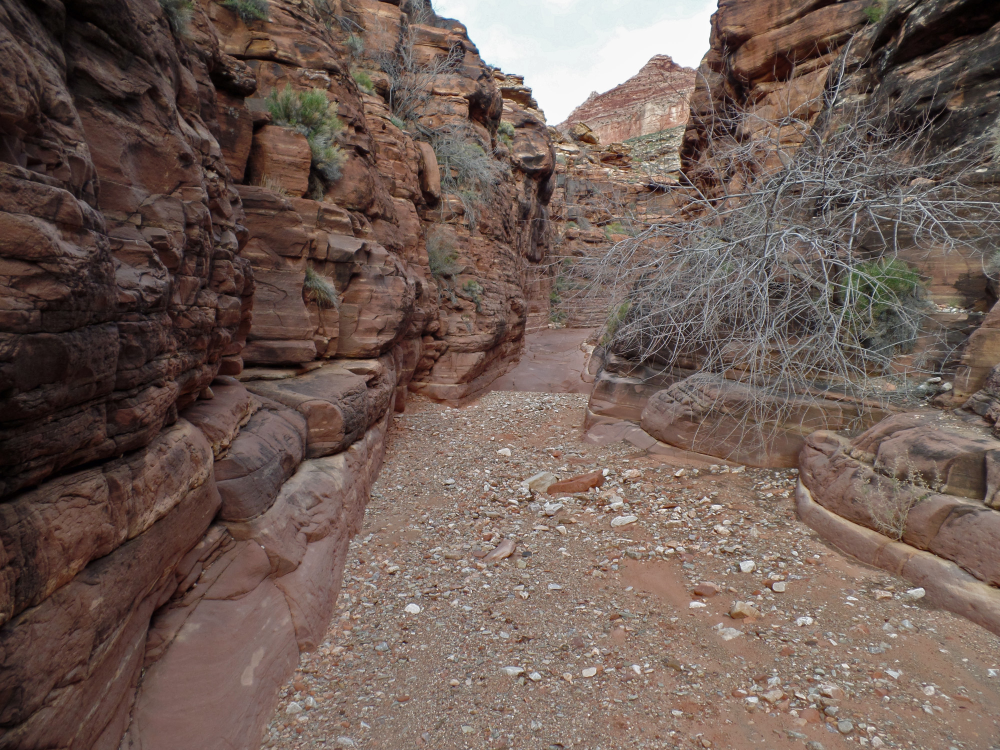
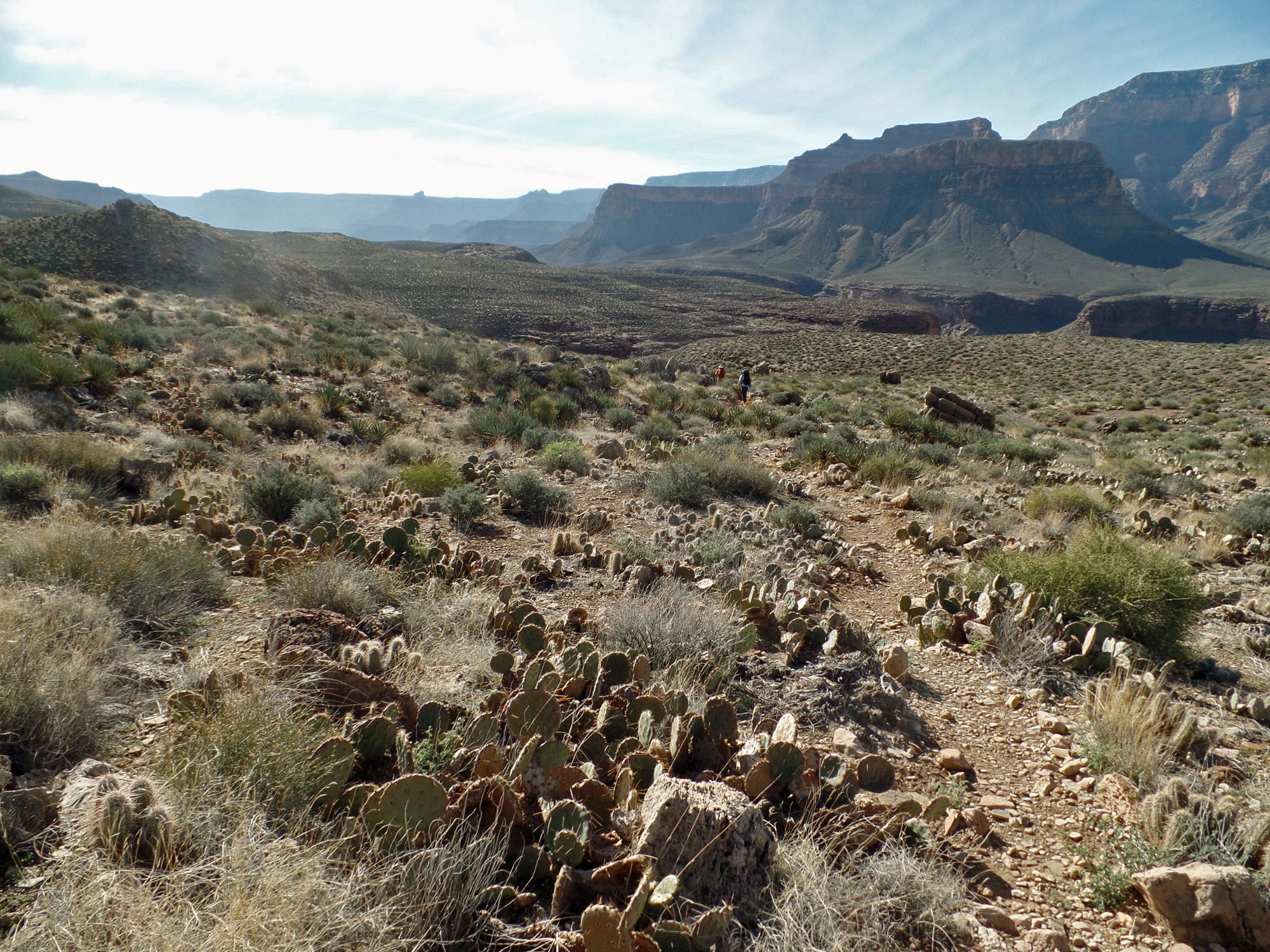
On the Clear Creek trail.
 
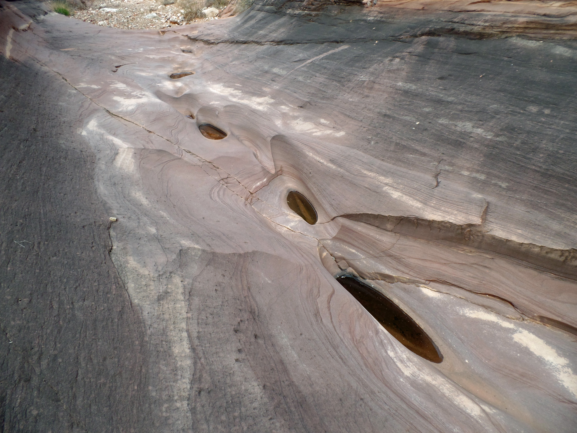
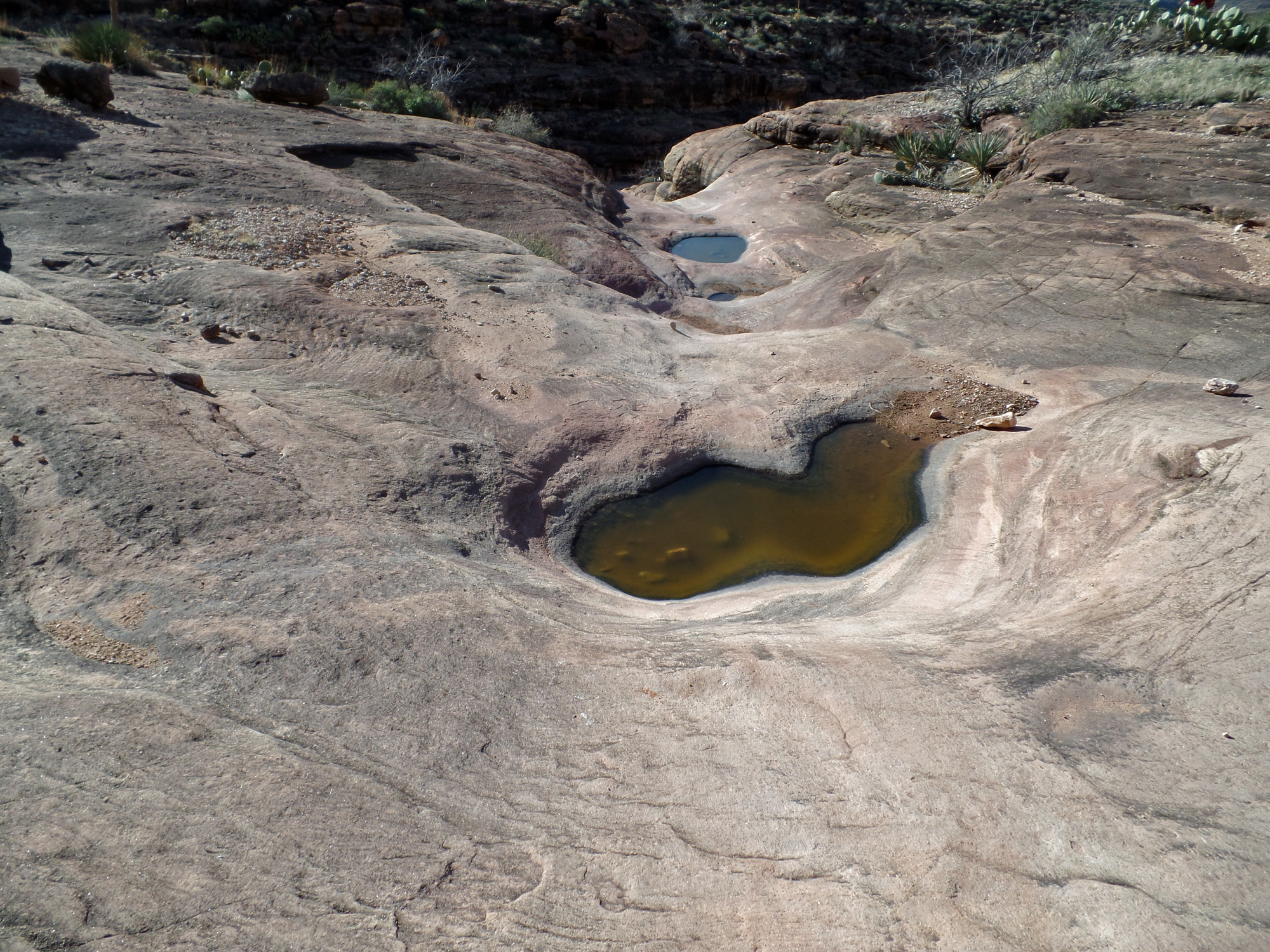
Water pocket on CC trail.

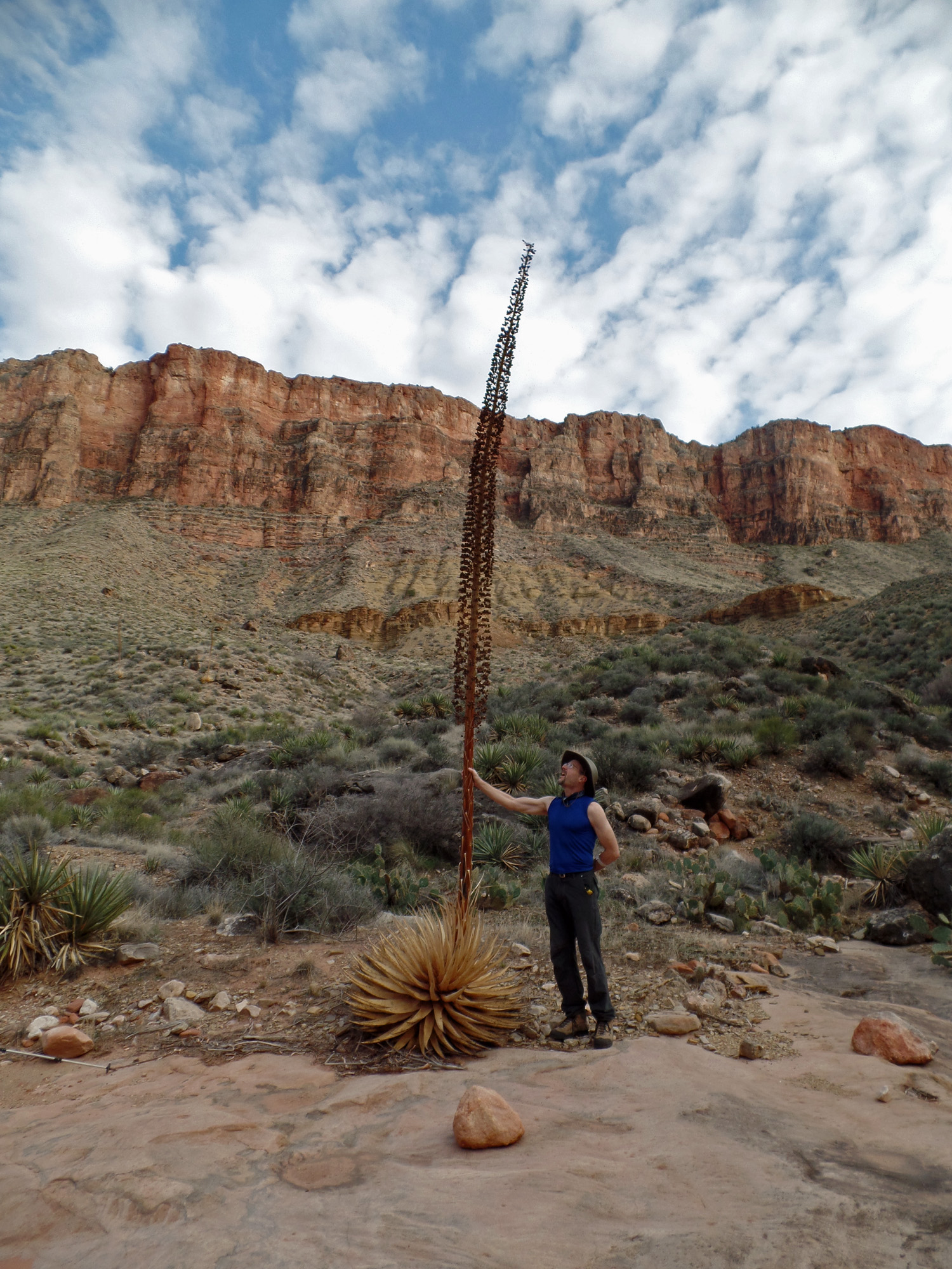
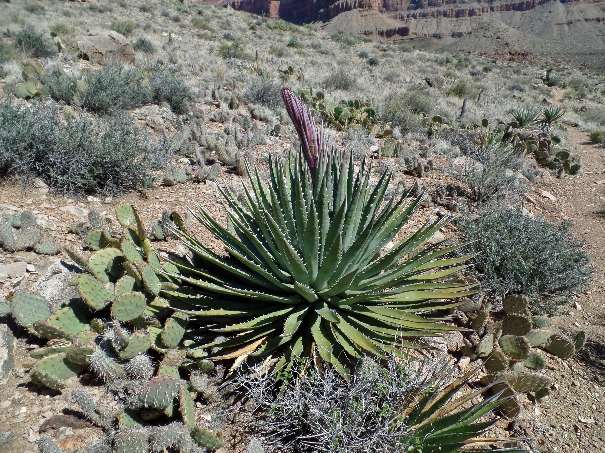
Agave starts to grow up!

Wotan & Angels Gate over CC.

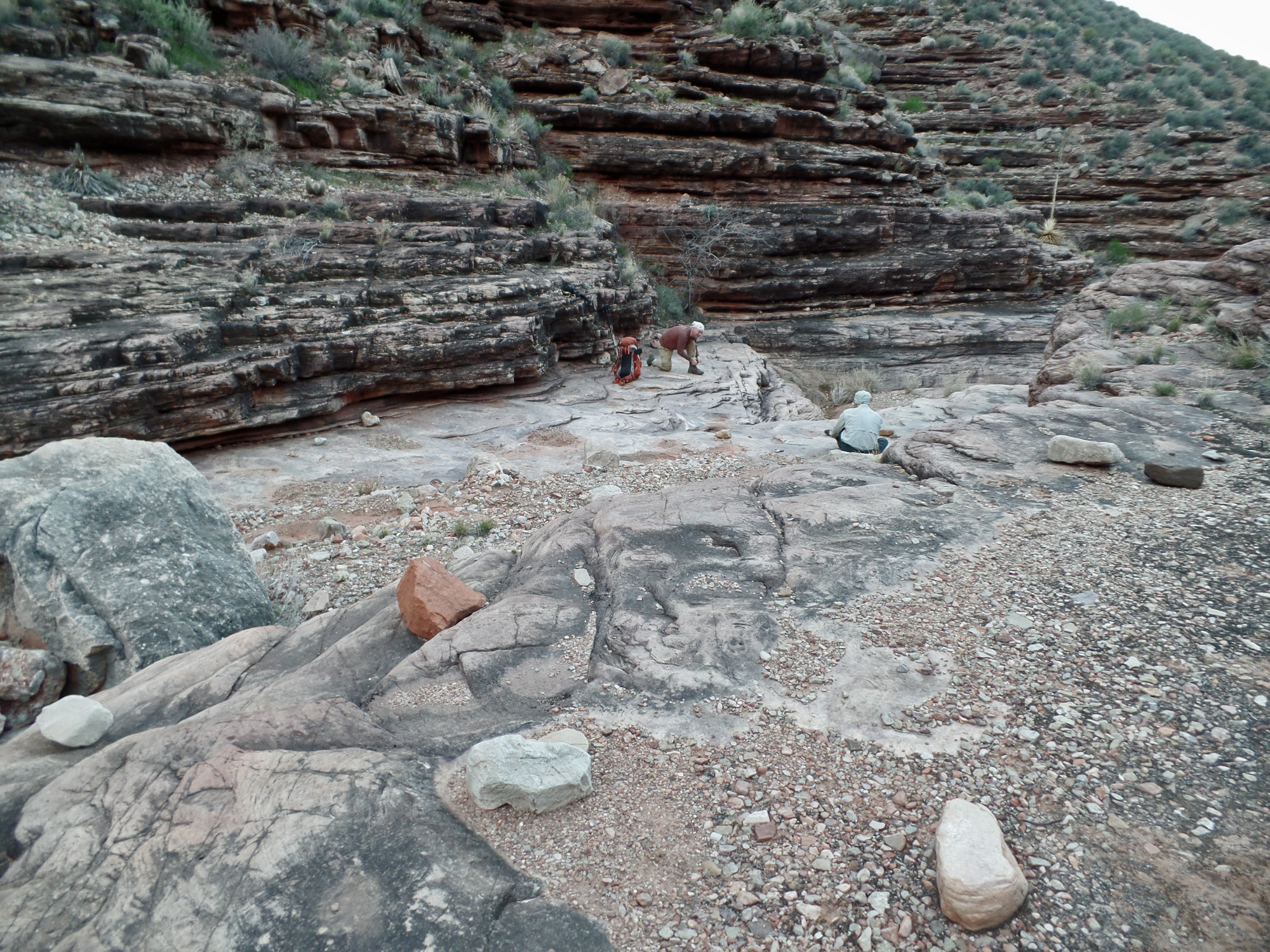
NPS doing some work in CC.

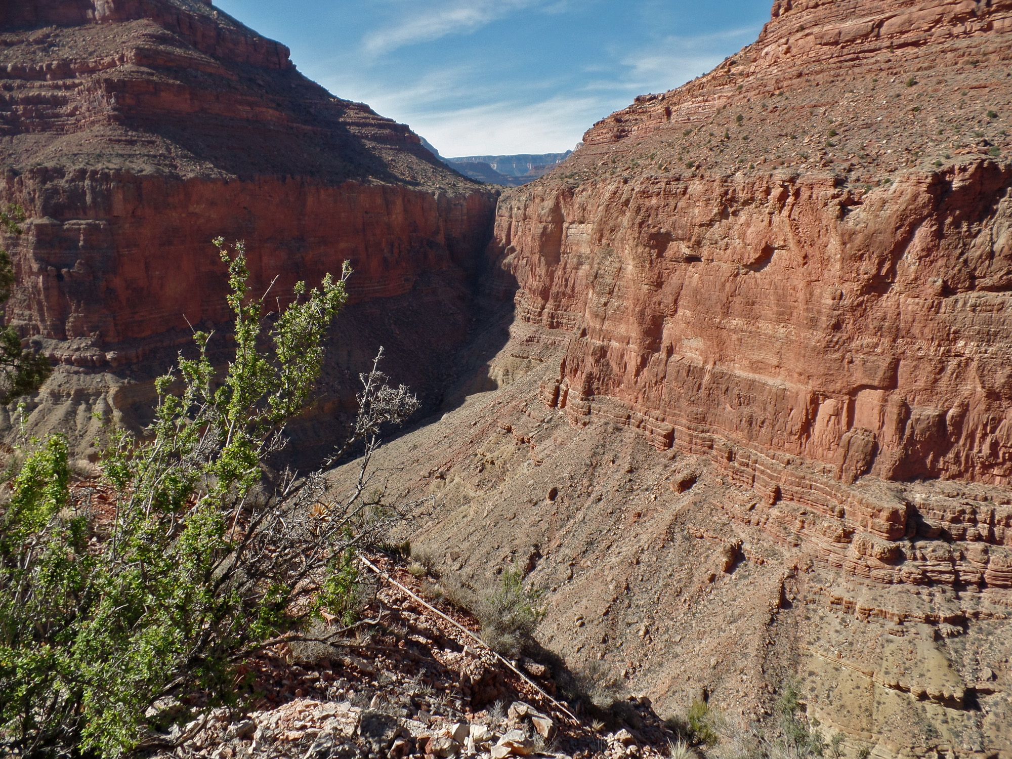
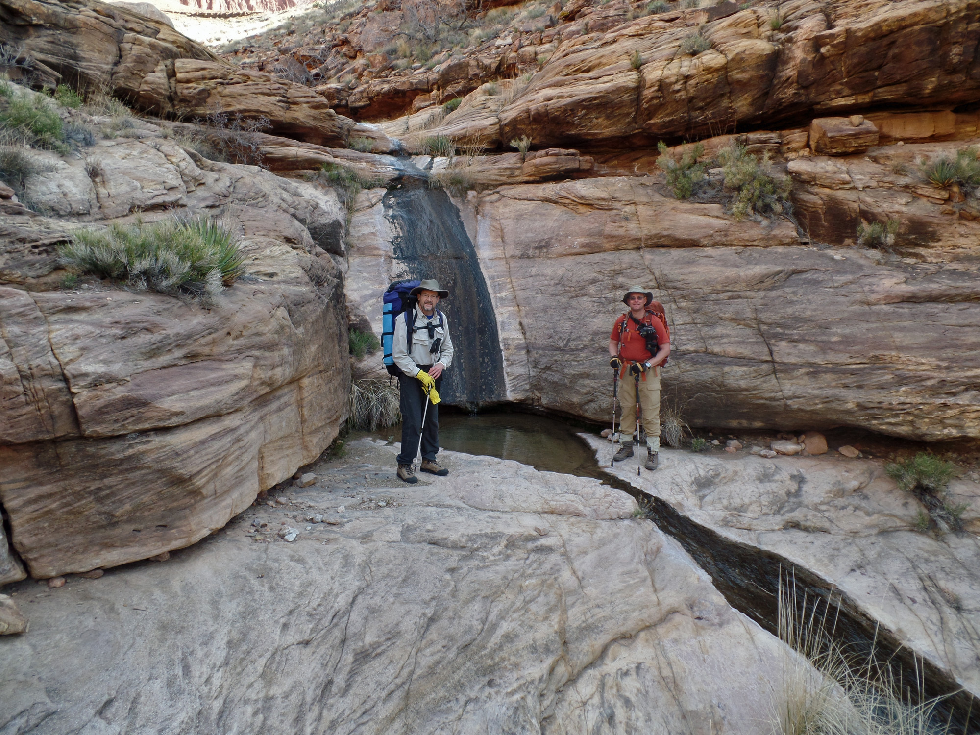
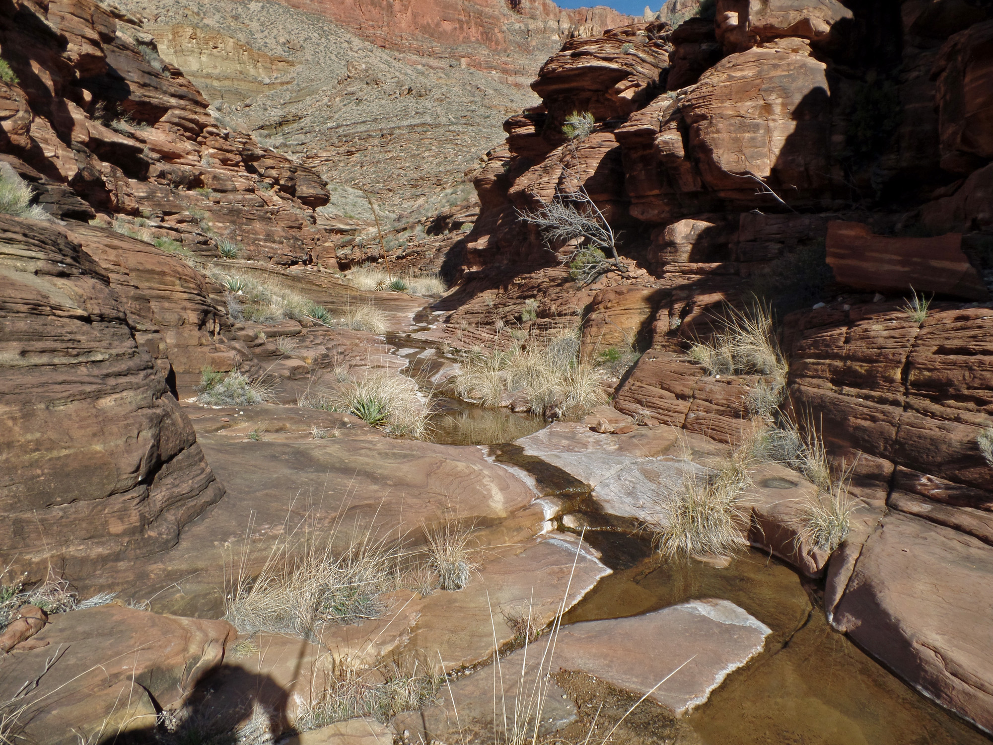
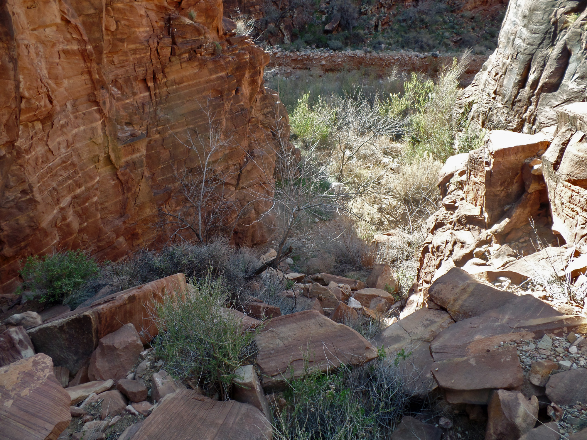
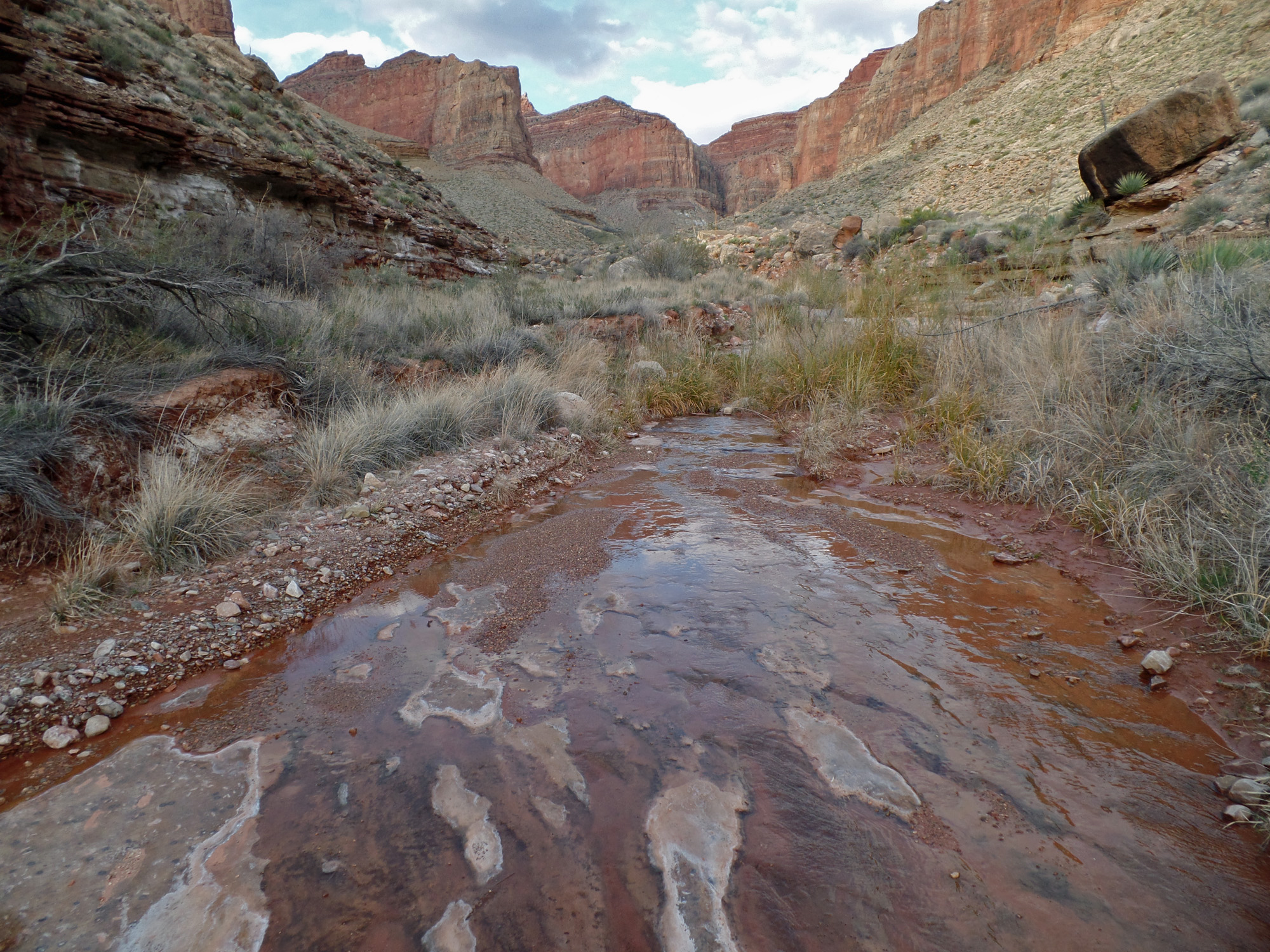
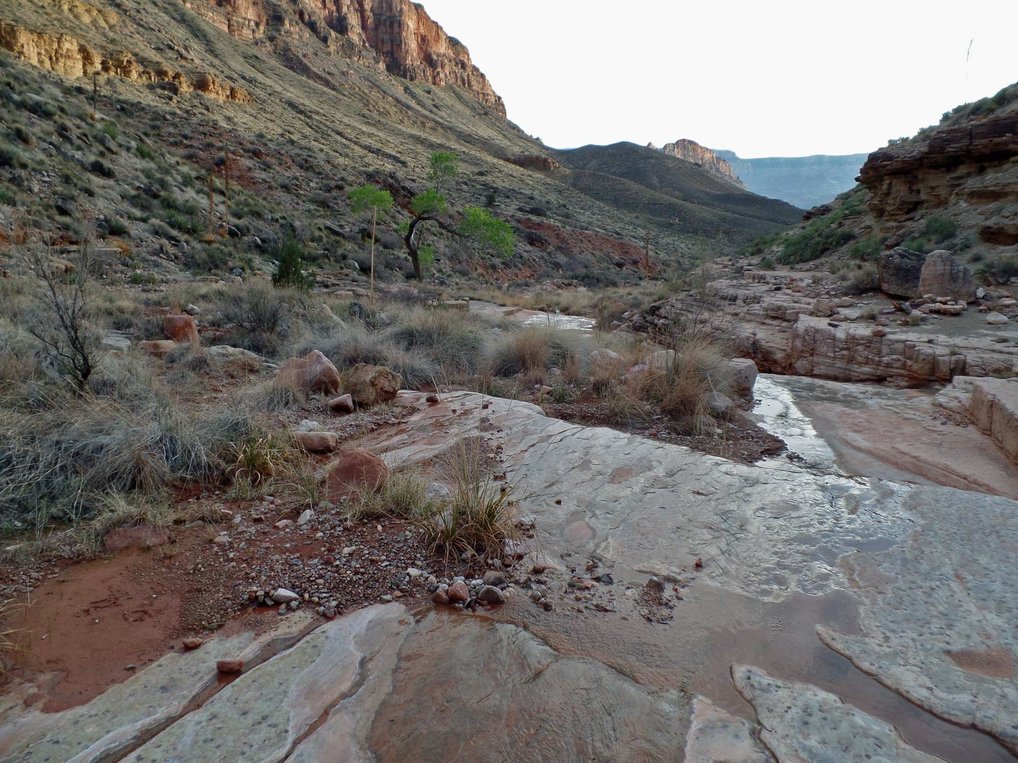
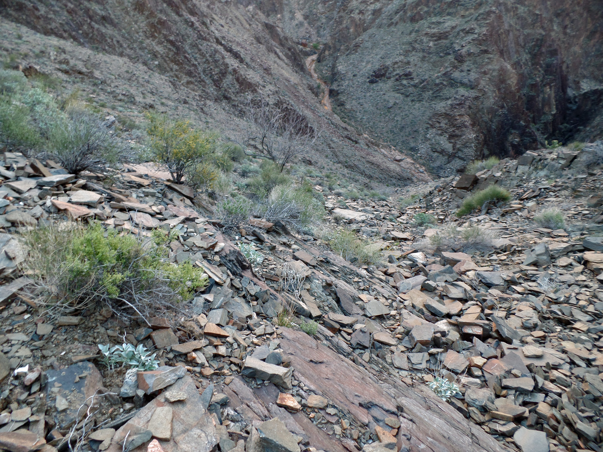
Heading up the east arm of Clear Creek.  There is a slight flow of water here and we were able to rely on it at our camp.  Neat narrows begin our short hike up this arm.

On the trail into Clear Creek.
 
Camp in east arm of Clear Creek.

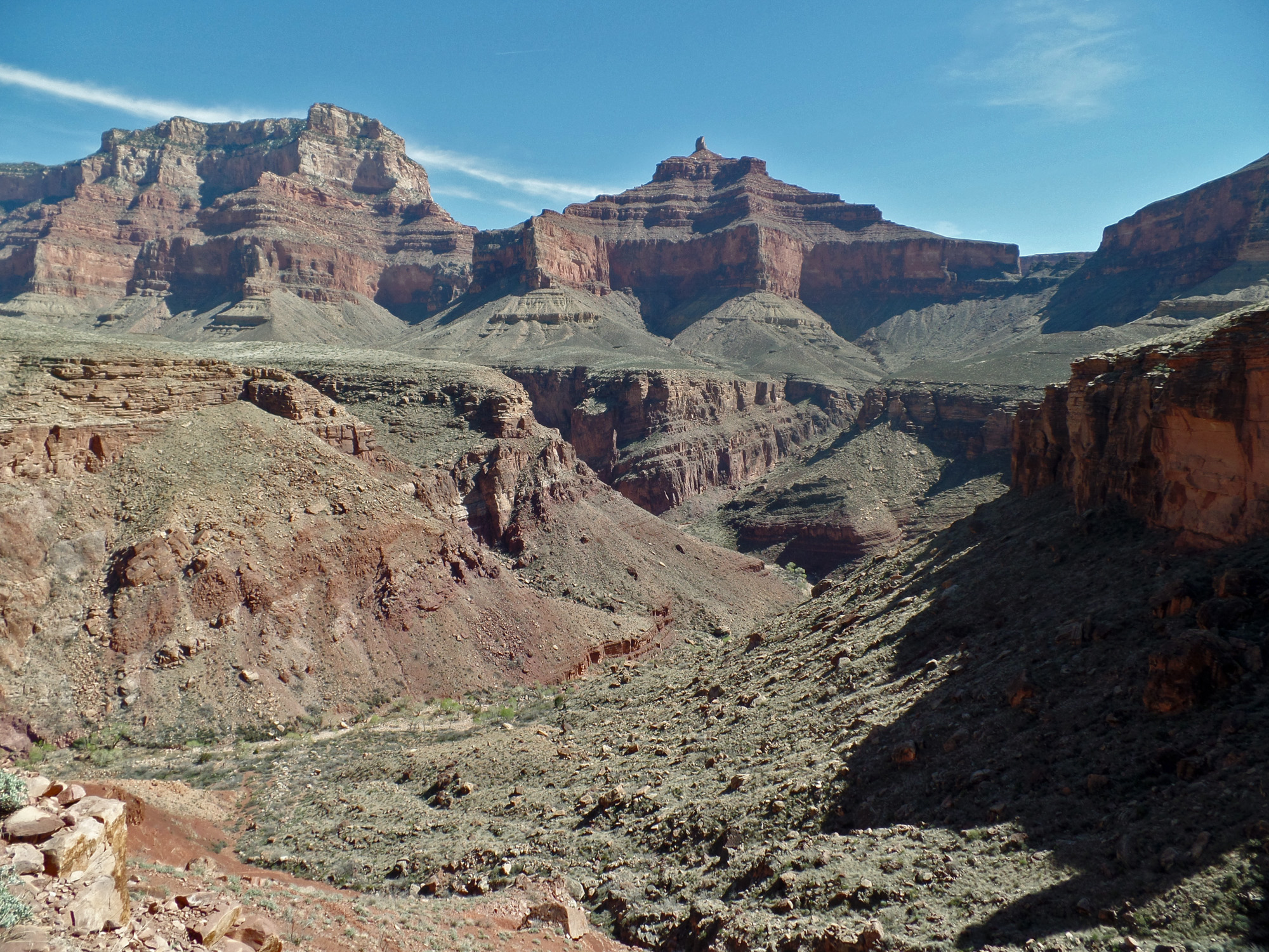
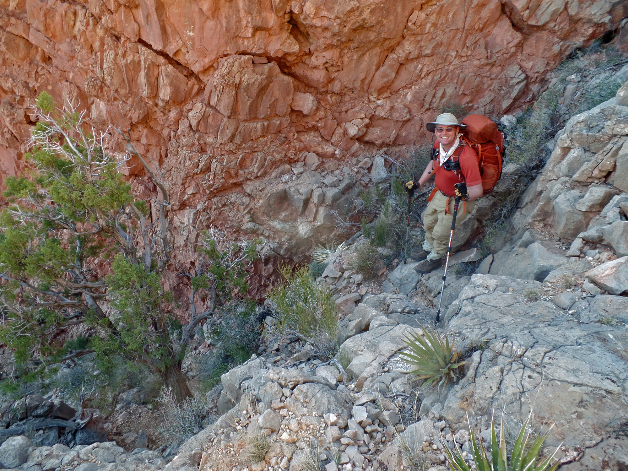
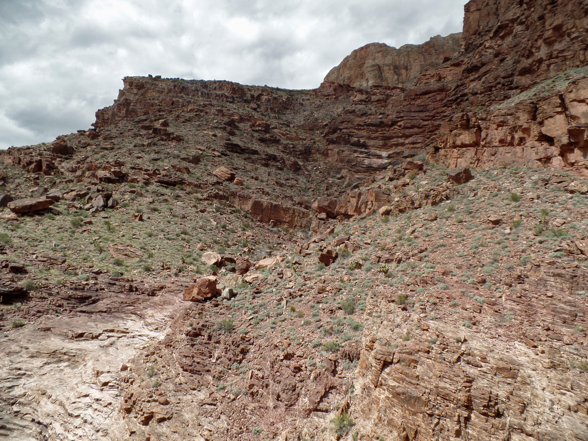
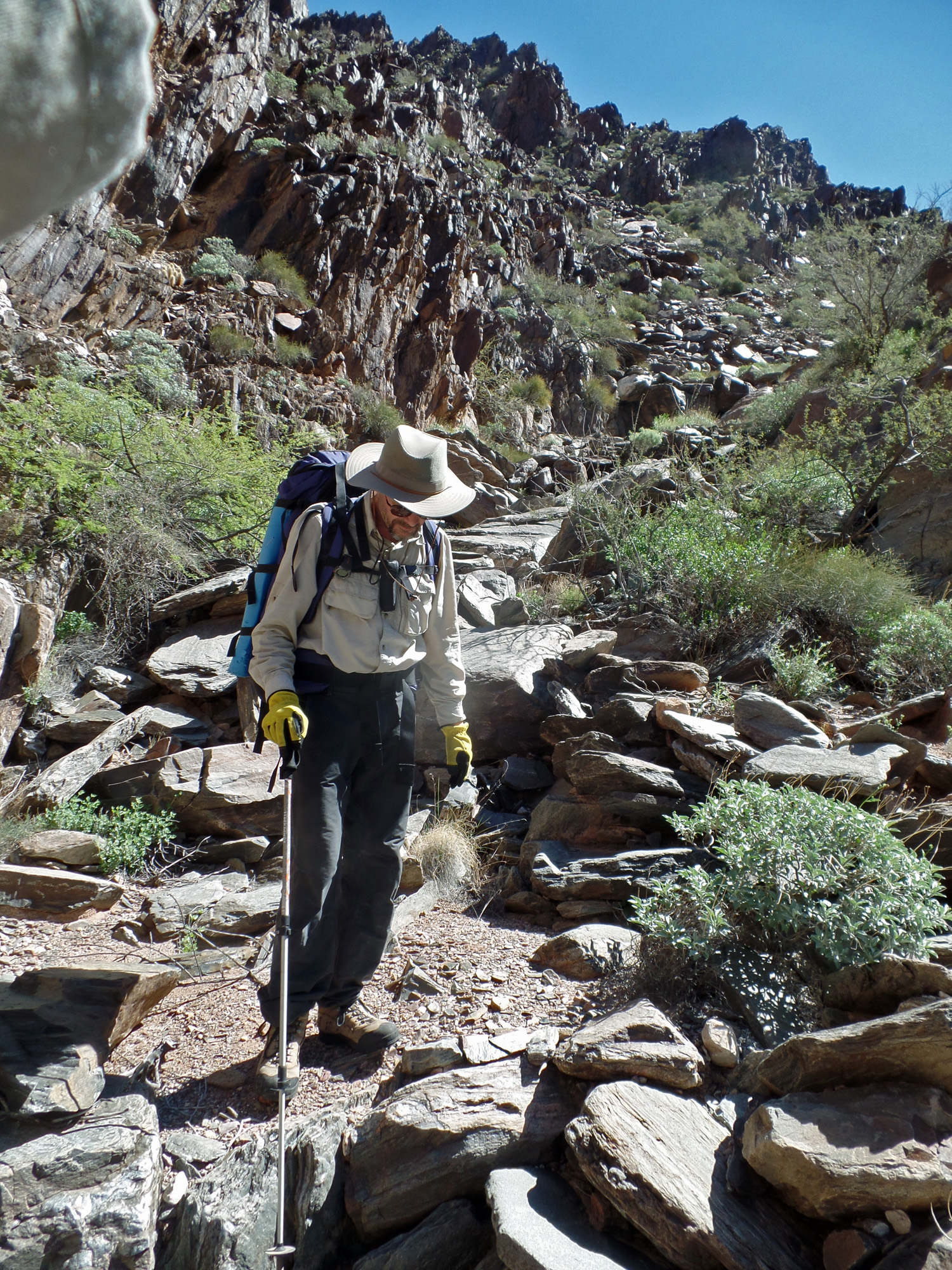
Day 3 - From east Clear Creek to Vishnu via the high saddles (Monday, March 16)

     Although it was a good night, I did have to get up at 3:30 a.m. to take a hike and do some shovel duty.  That is unusual.  Otherwise we were up early and on our way just before 7:30 p.m.  It only took us about twenty minutes to climb up through the Tapeats break to the Tonto level.  By now we were getting harassed by bugs - gnats, I guess.  [That would continue at times throughout this trip - it must be that it was just warm enough for them to start getting active.]  After a short break, at 8 o'clock we started contouring over into the drainage that leads up to the saddle.  Nearly two hours later we 
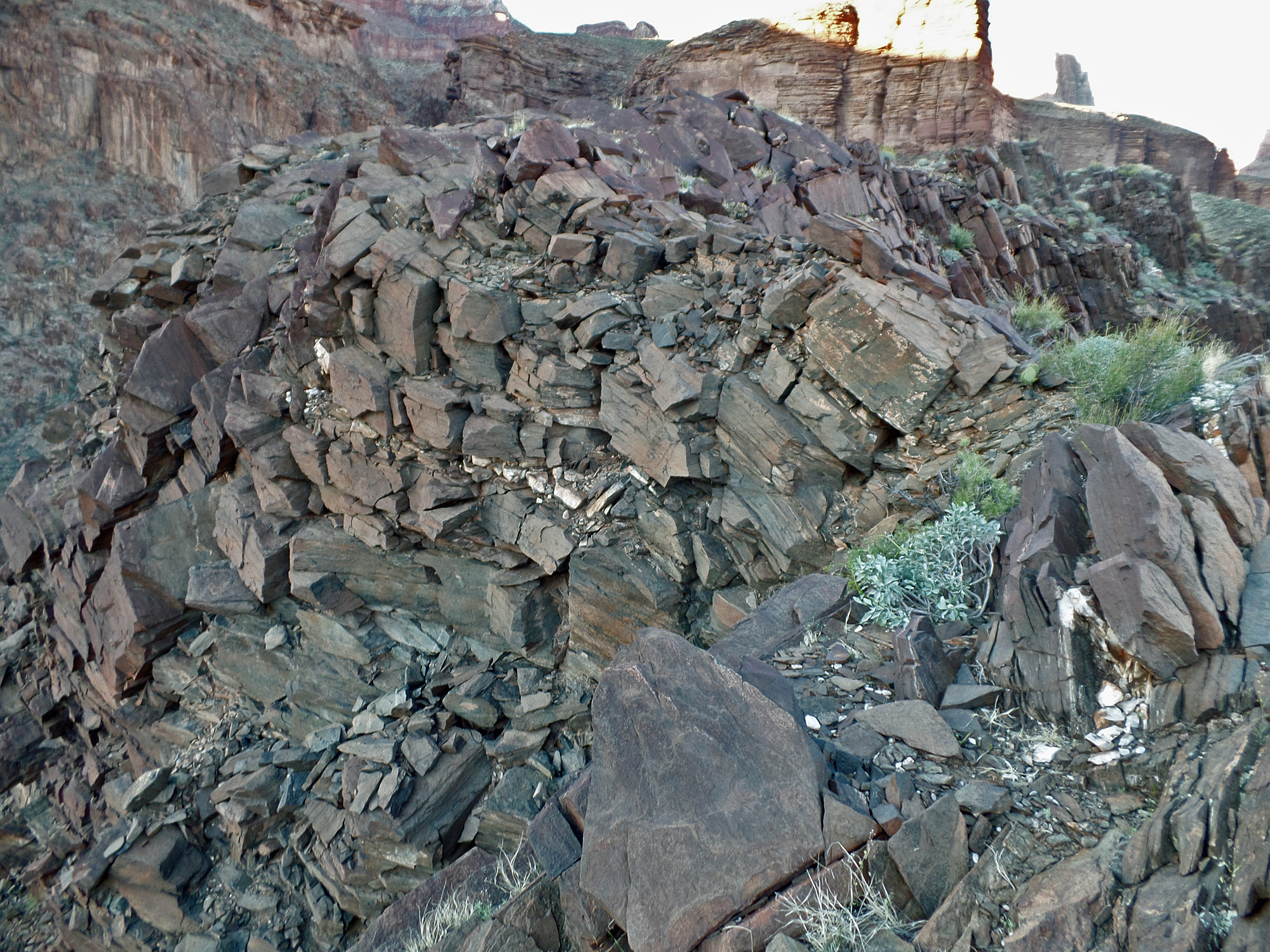
were at the base of the Redwall.  Most of the hiking had been fine - coming up the bed and/or terrace, but it was steep near the end.
     It took us an hour and a half to climb from the bottom of the Redwall up to the saddle between Wotans Throne and Angels Gate, reaching it at 11:30 a.m.  If I recall correctly, we did use some webbing to raise packs in a couple of places along this route.  I have now been through here twice and neither time did I like the narrow, and to my mind, crumbly shelf that we used to angle up through the Redwall.  There is one place where one just has to trust the rock and climb over a fin.  I can't imagine trying to come down this, but Bill had on an earlier hike and thought it was fine.  We ate lunch here and didn't leave until 1 p.m.
     The afternoon was quite warm and taxing, at least to me.  John and I stopped at 2:30 p.m. in the shade of a large boulder and took a fifteen minute break, while Bill continued on ahead.  I figured that we were about two-thirds of the way from the Wotan-Angels Gate saddle to the Hall Butte saddle.  It wasn't until 3:30 p.m. that we reached the saddle and met up with Bill.
     We rested in the shade of a juniper tree for a half hour and then began our descent.  The upper part is very loose and we were constantly kicking down loose gravel-sized rocks.  We tended to head more downhill than across to the slope that runs through the Tapeats.  That wasn't bad, as we all made it to the level where we could change our direction and contour over to the slope.  The hiking through here isn't especially treacherous, but everything is loose.  Along the way John slipped on some rocks and hit the ground hard.  He had hurt his shoulder, but was still able to hike, if with some difficulty.  Bill and I knew exactly where we needed to go, as long as John could still hike - the little spring on the Tonto level where we holed up after our accident in 2010.  It took a while, but we got there just before darkness overtook us, at 6:40 p.m.

Click on any picture to see a larger image.


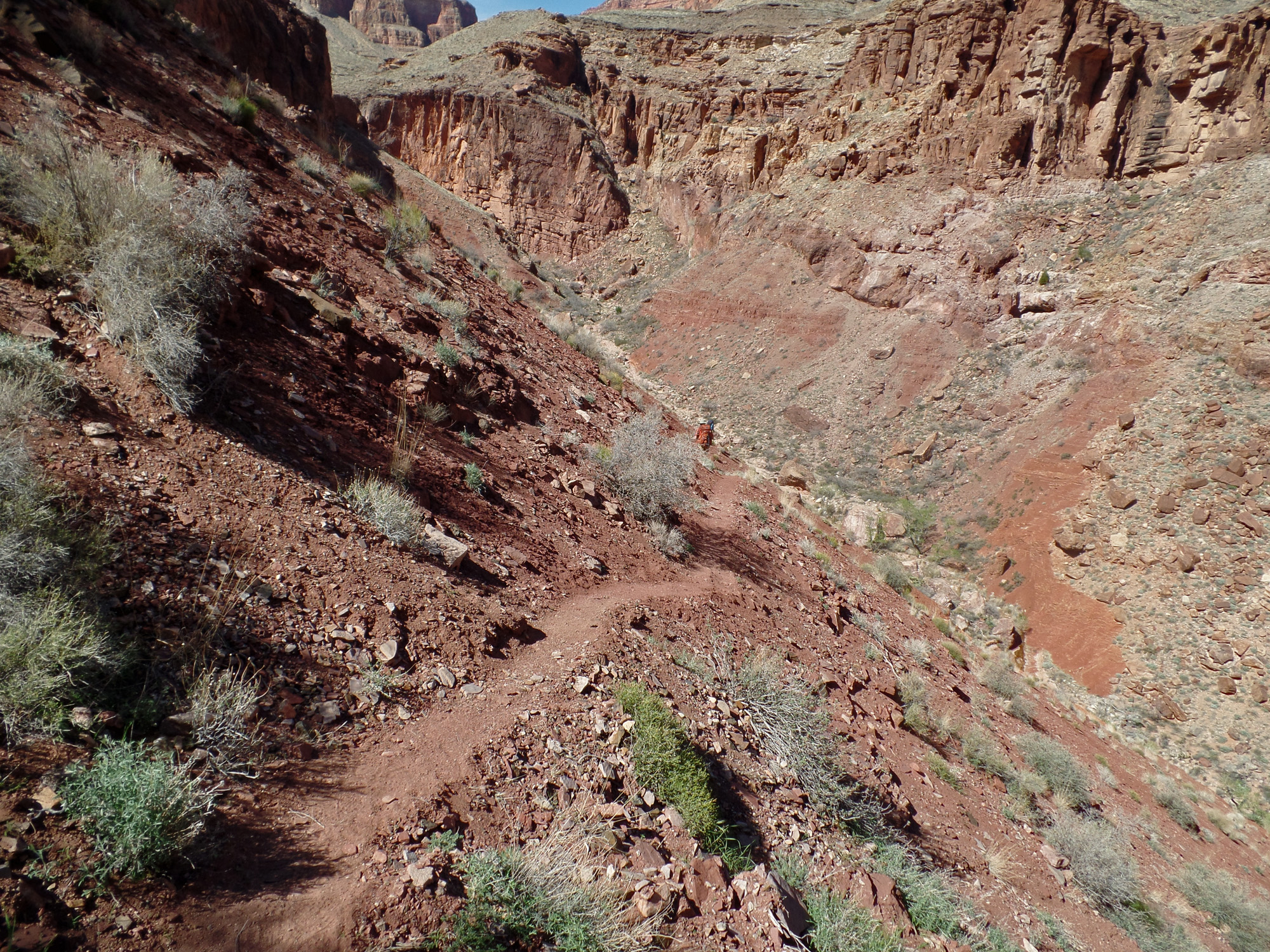
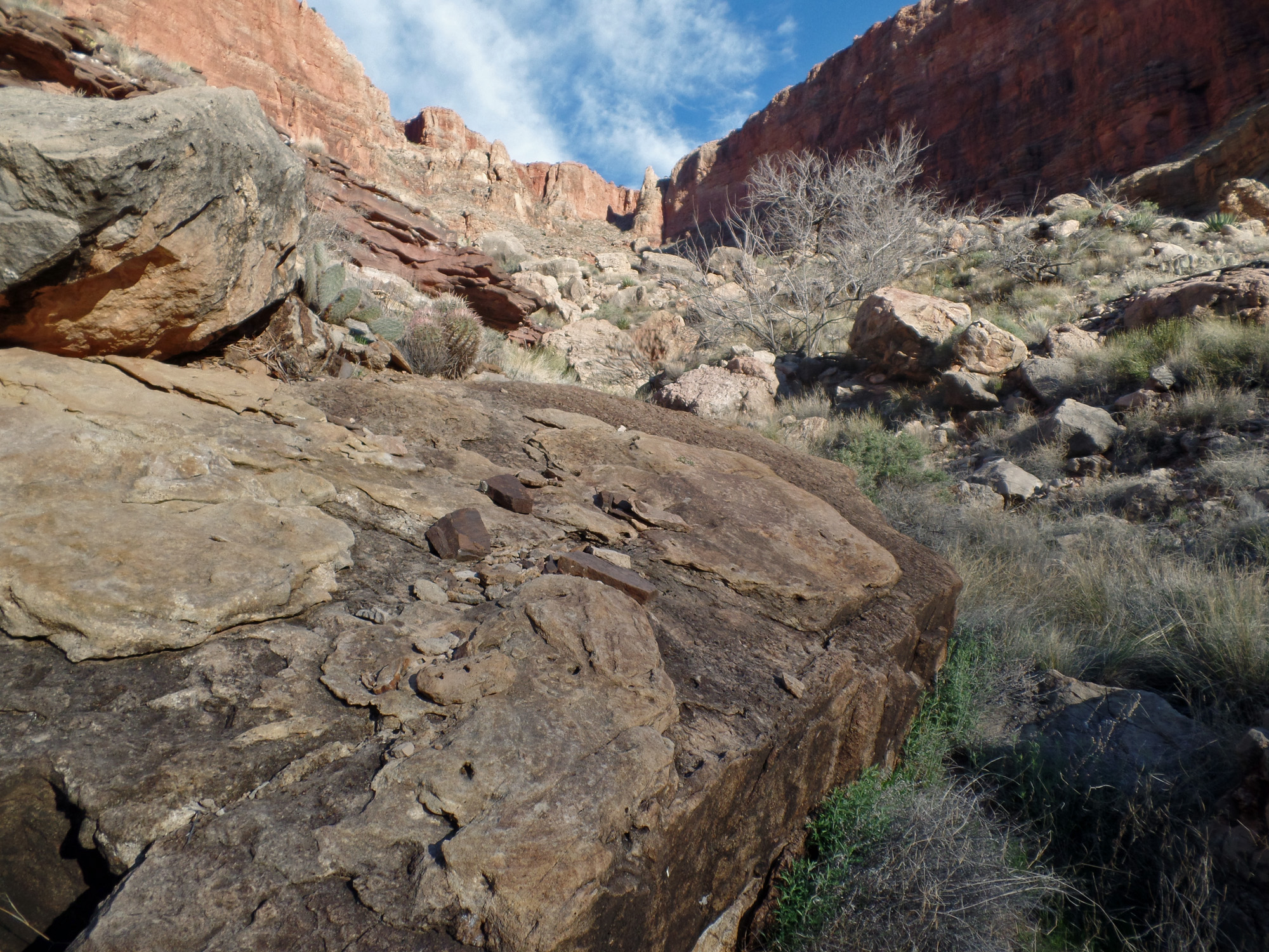
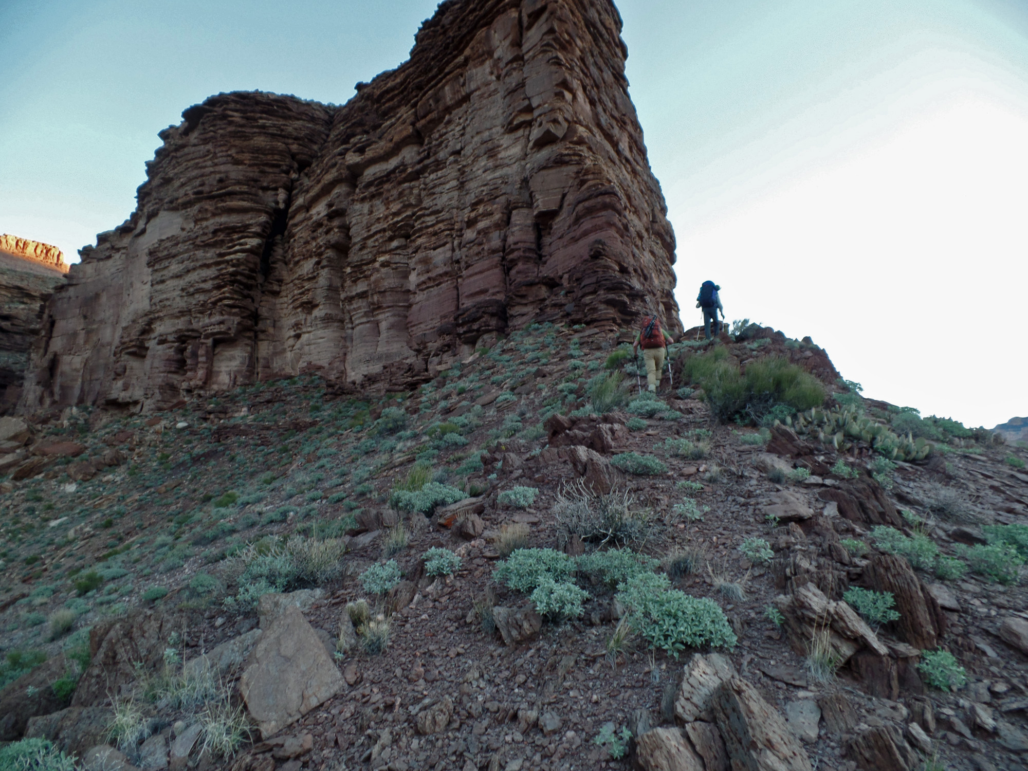
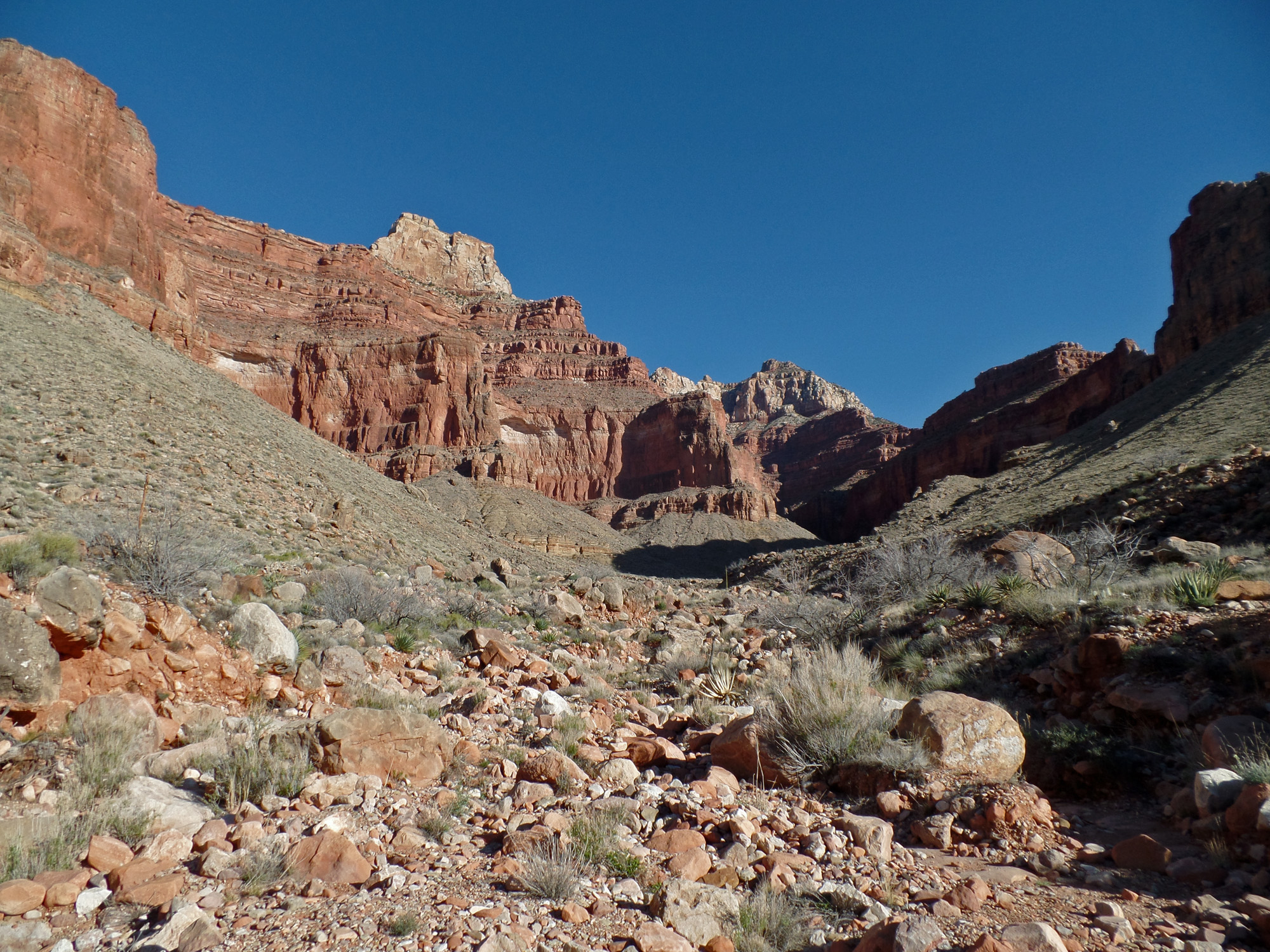
The route out of east arm.
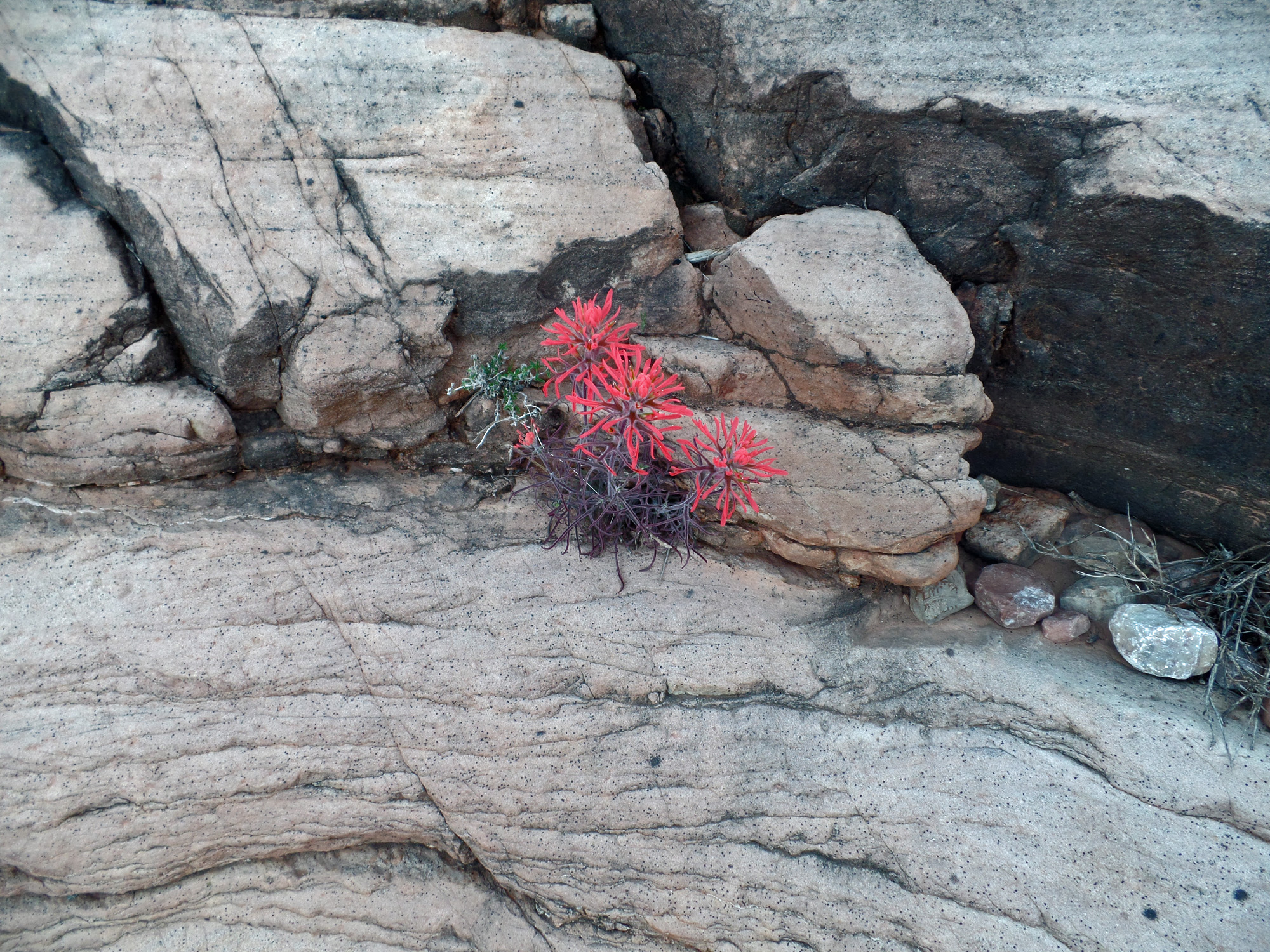
Indian paintbrush.

Yucca silhouetted against Brahma.

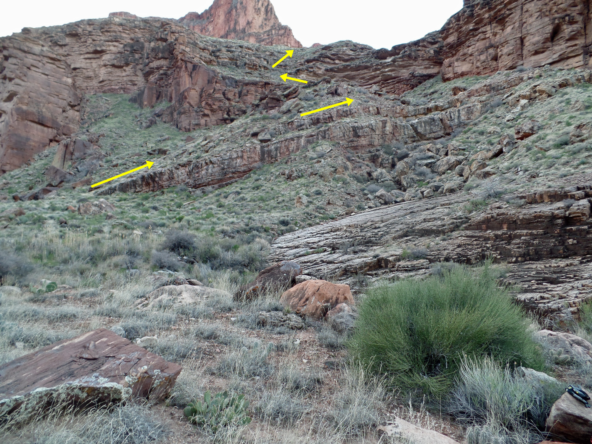
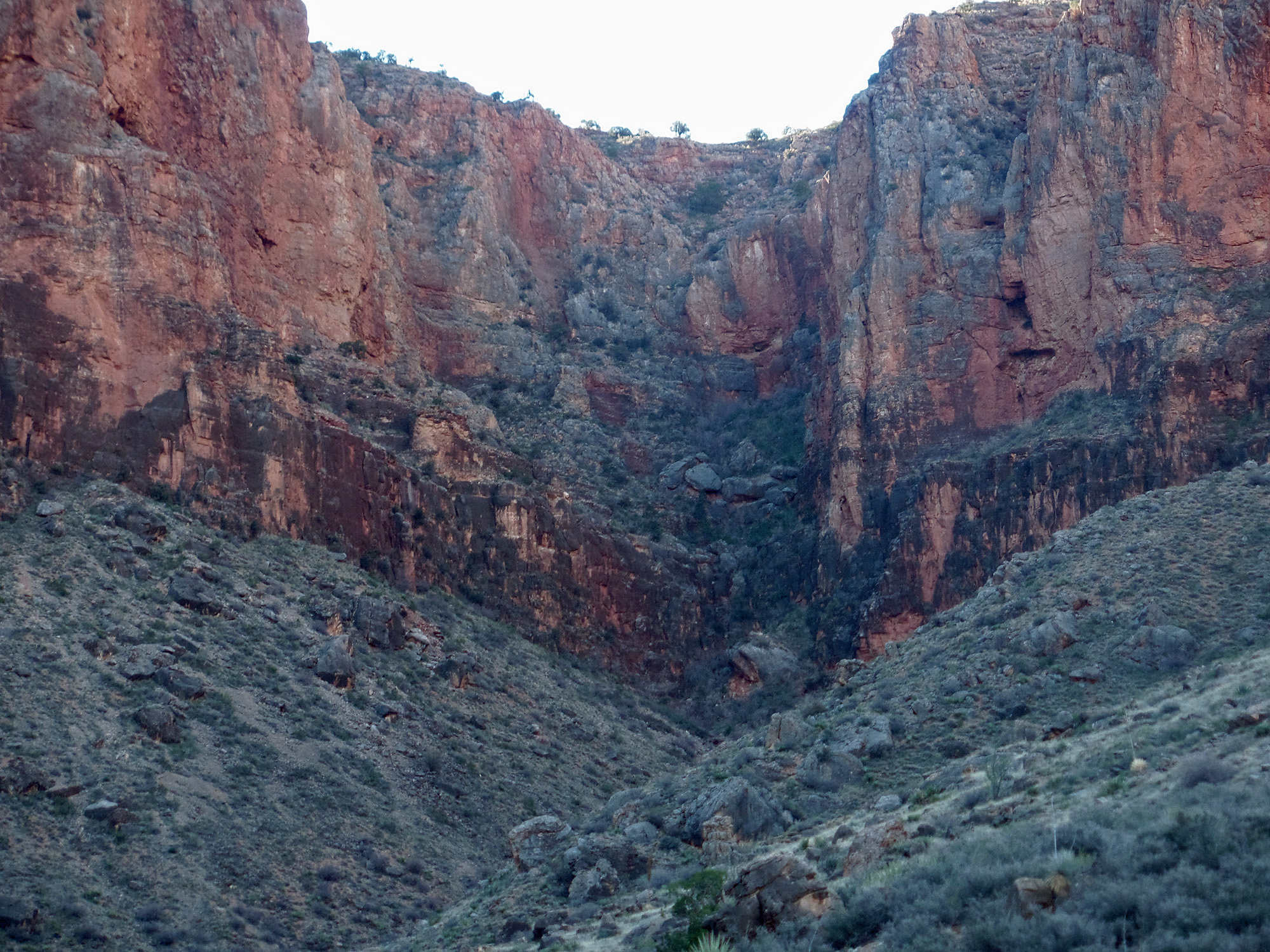
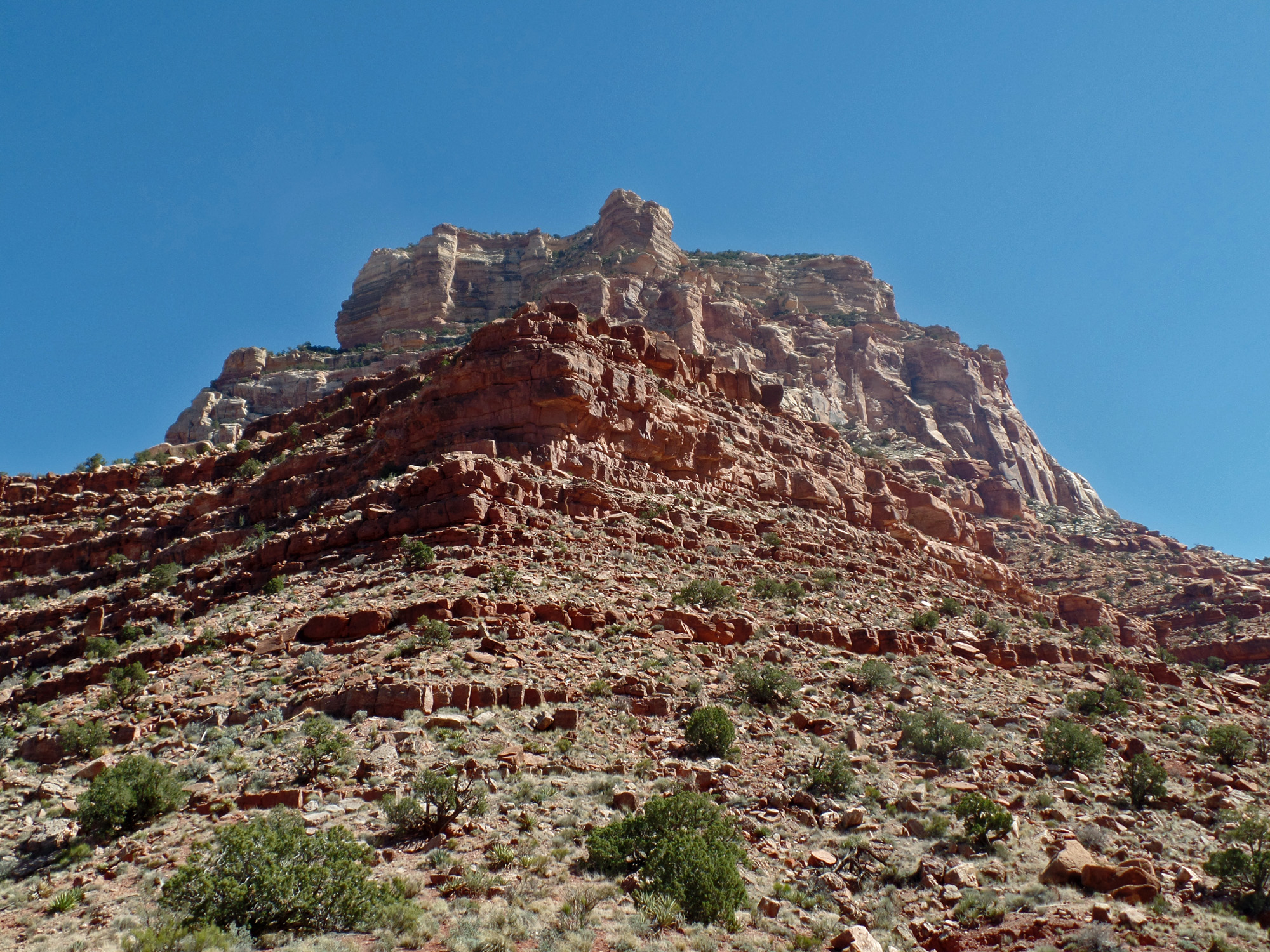
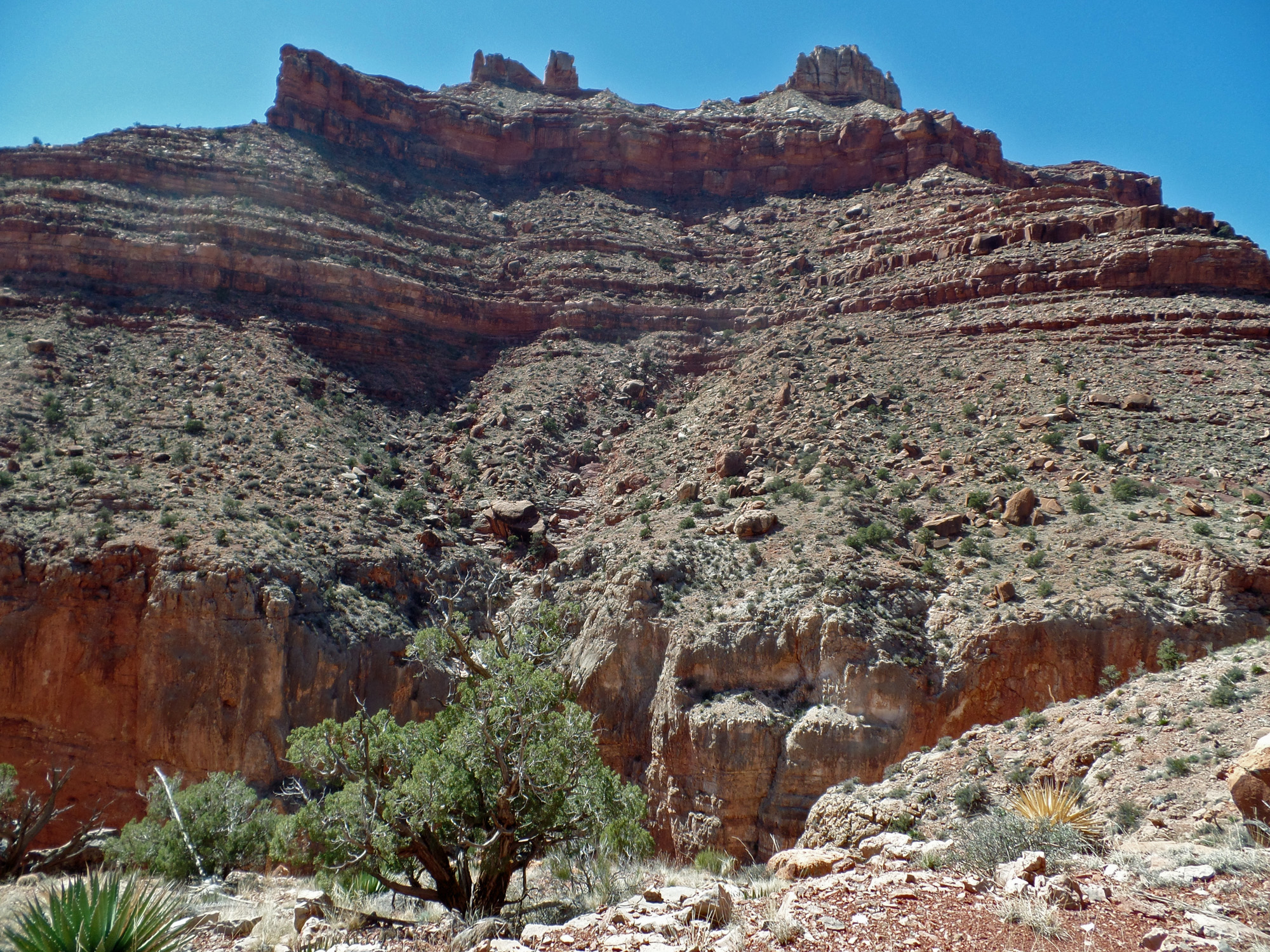
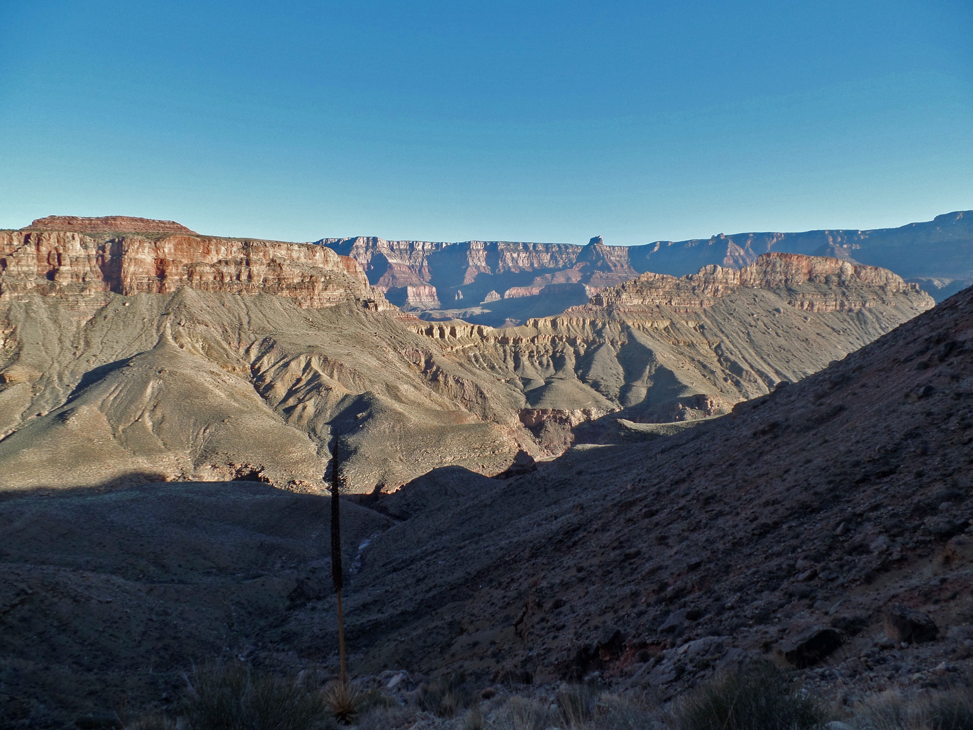
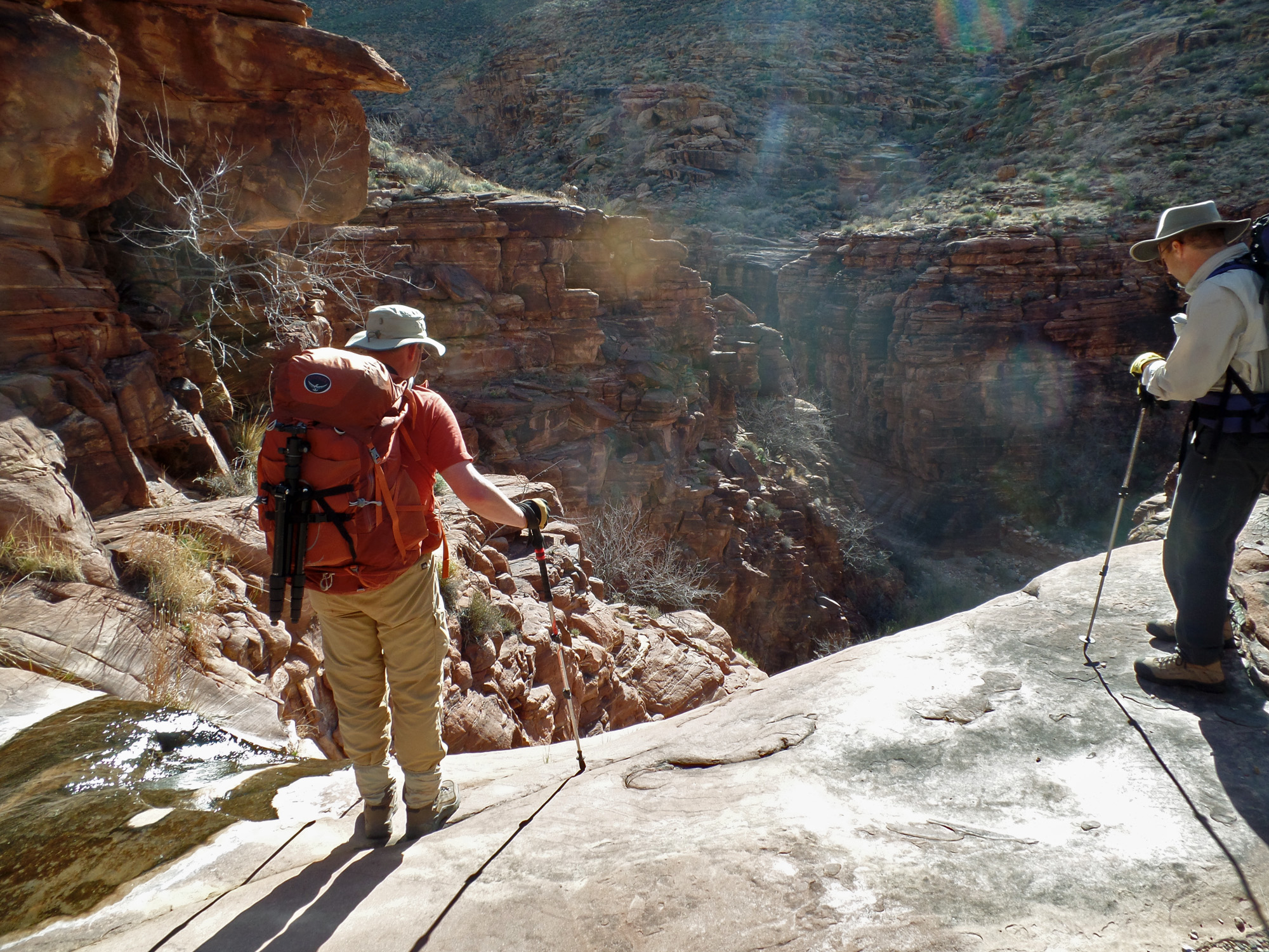
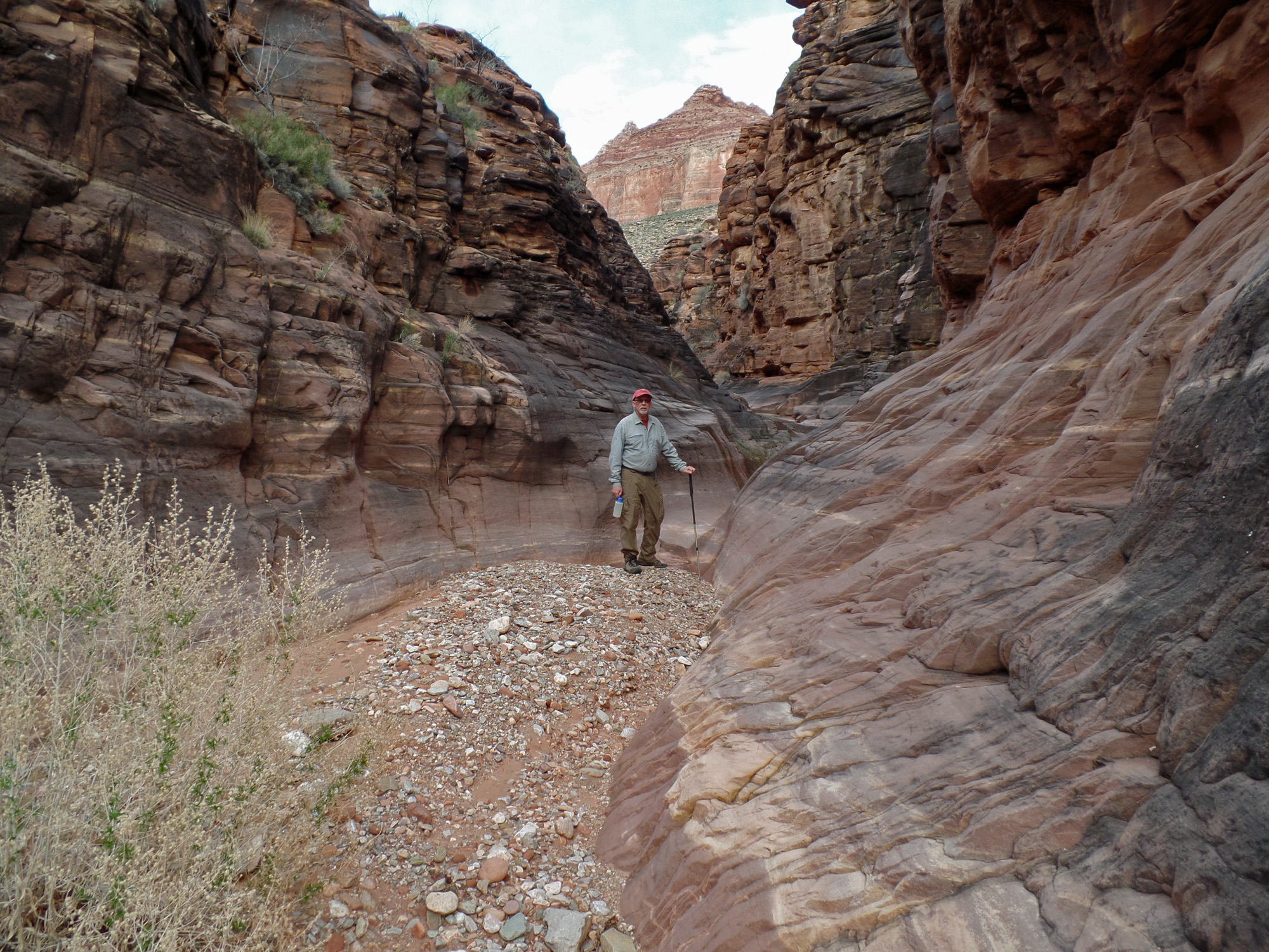
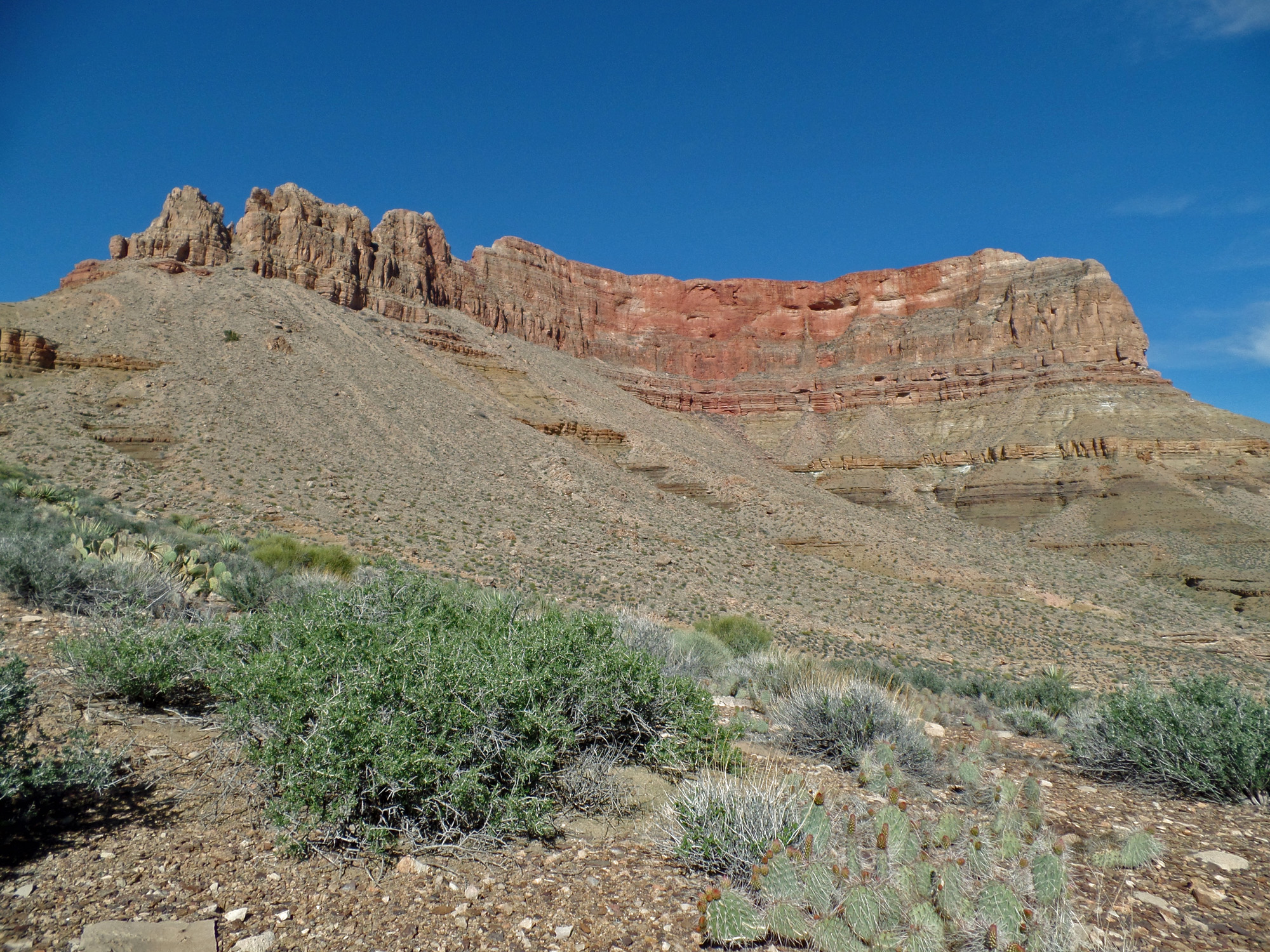
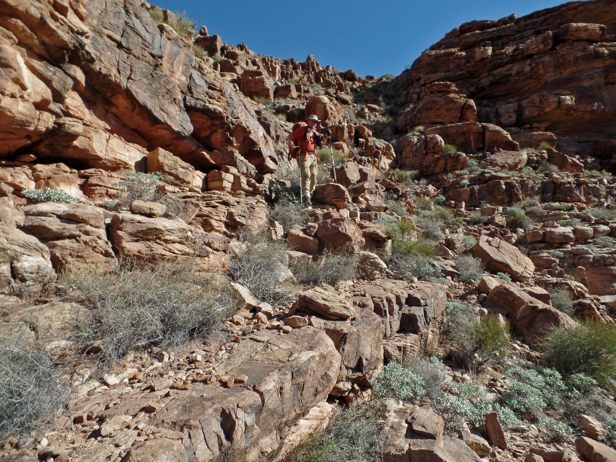
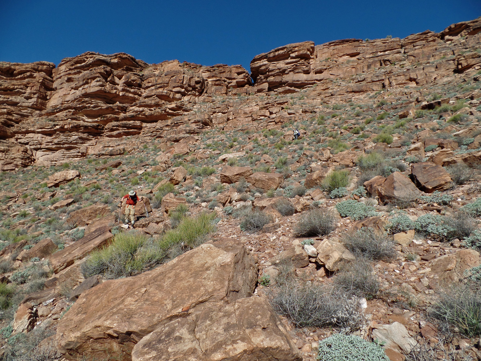
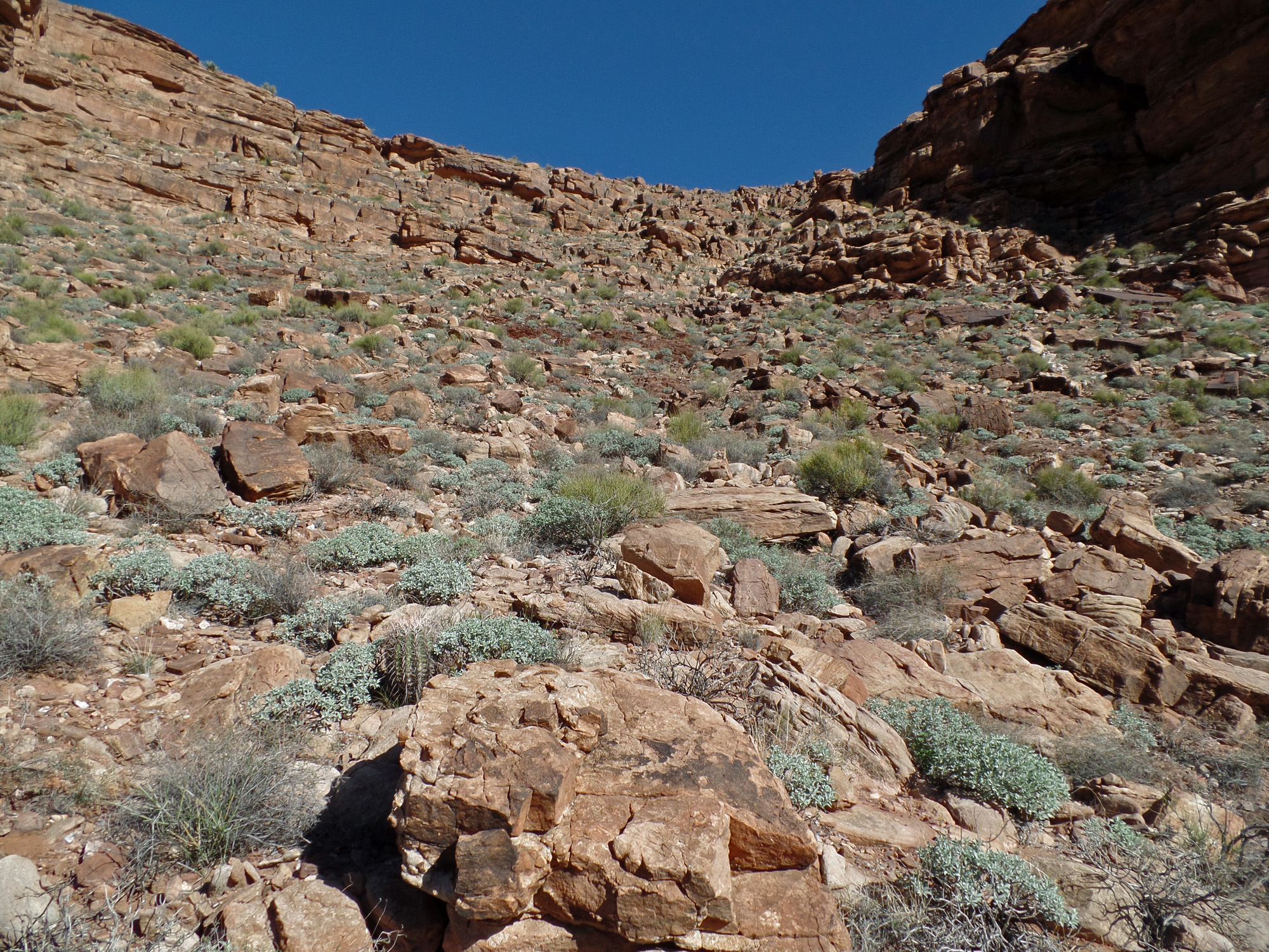
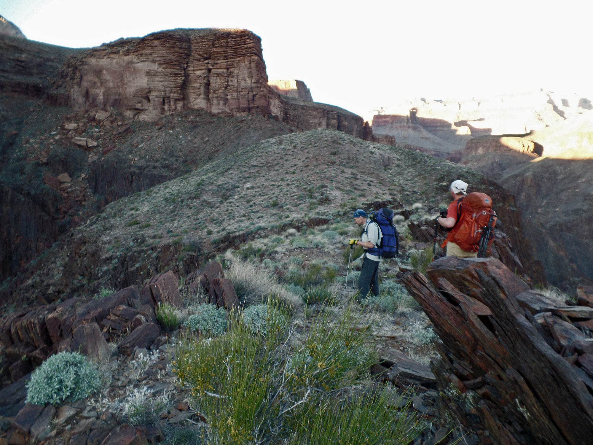
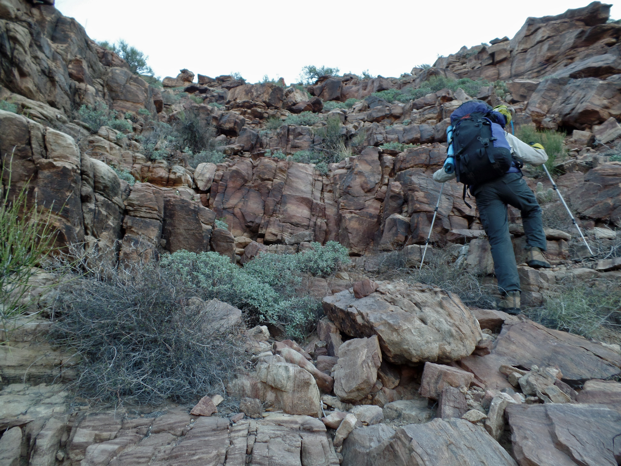
Taking a rest break atop the Tapeats.  The high saddles route to Vishnu heads right up this canyon.  It looks rather impossible, but goes.
 
Close-up of route to high saddle.

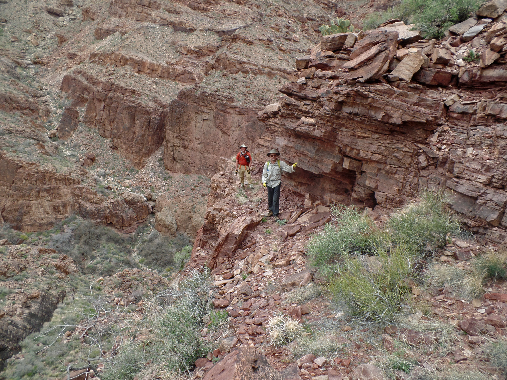
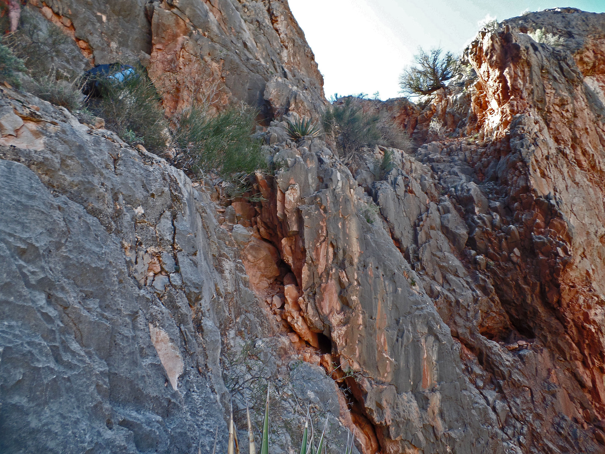
Following a narrow ledge.

Steep wall where we lifted packs.

Along the final climb through Redwall.

Easy bay to climb to saddle.

The back side of Angels Gate!

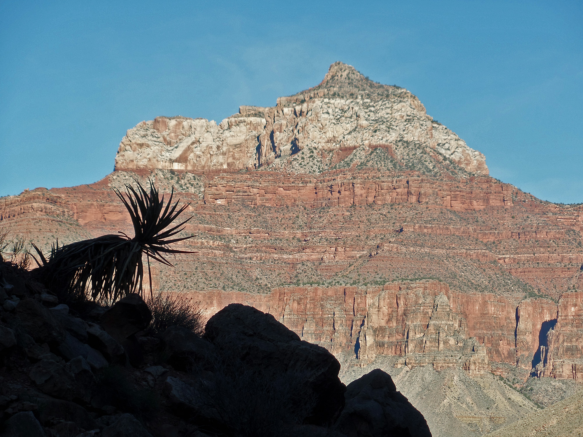
Looking up at Wotans Throne.

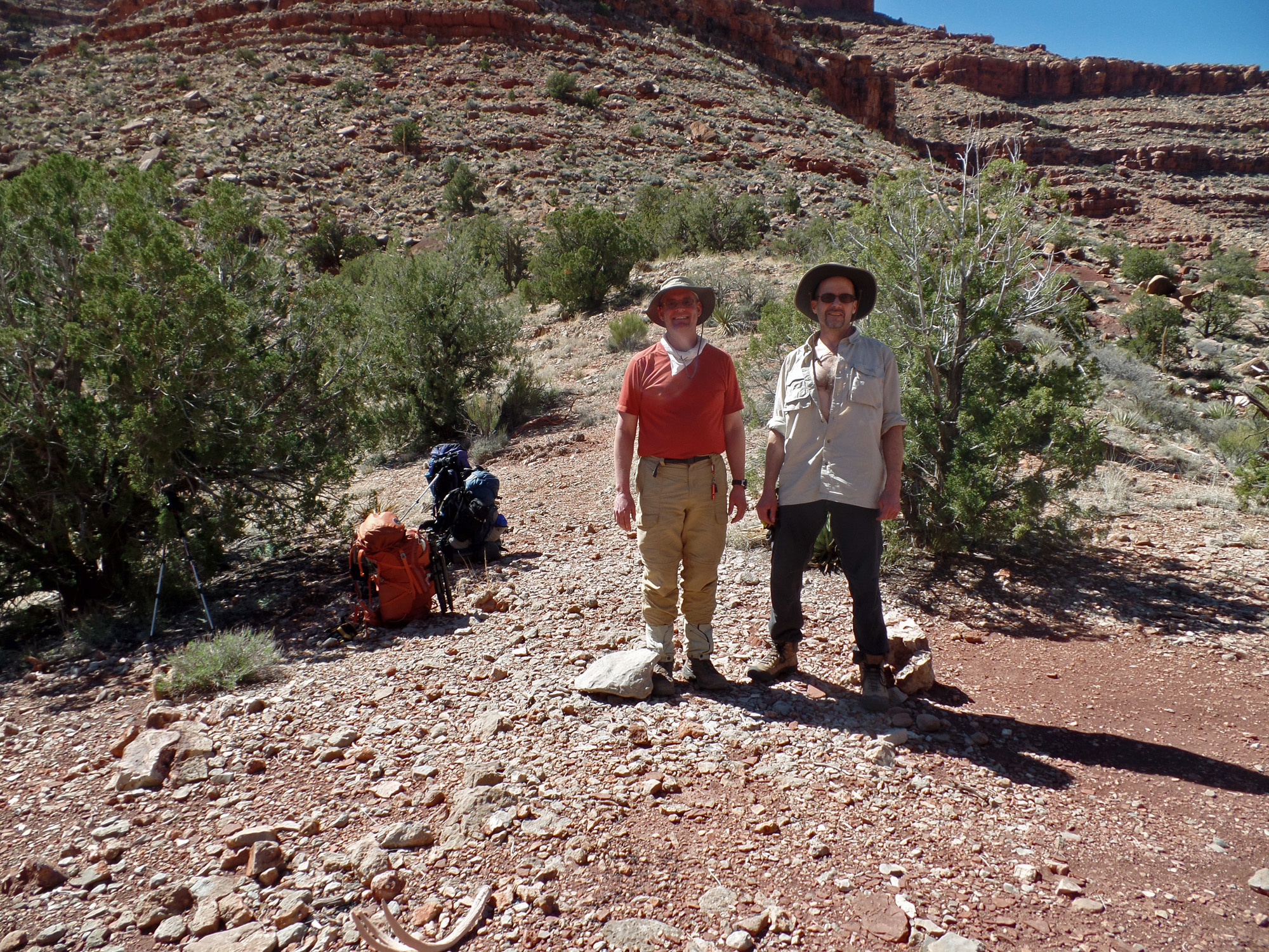
Bill & John on the Wotan-AG saddle.
 
Looking back at Angels Gate.

A nice view into "Double D" canyon.

Looking back at Wotan-AG saddle.

Resting at Hall Butte saddle.

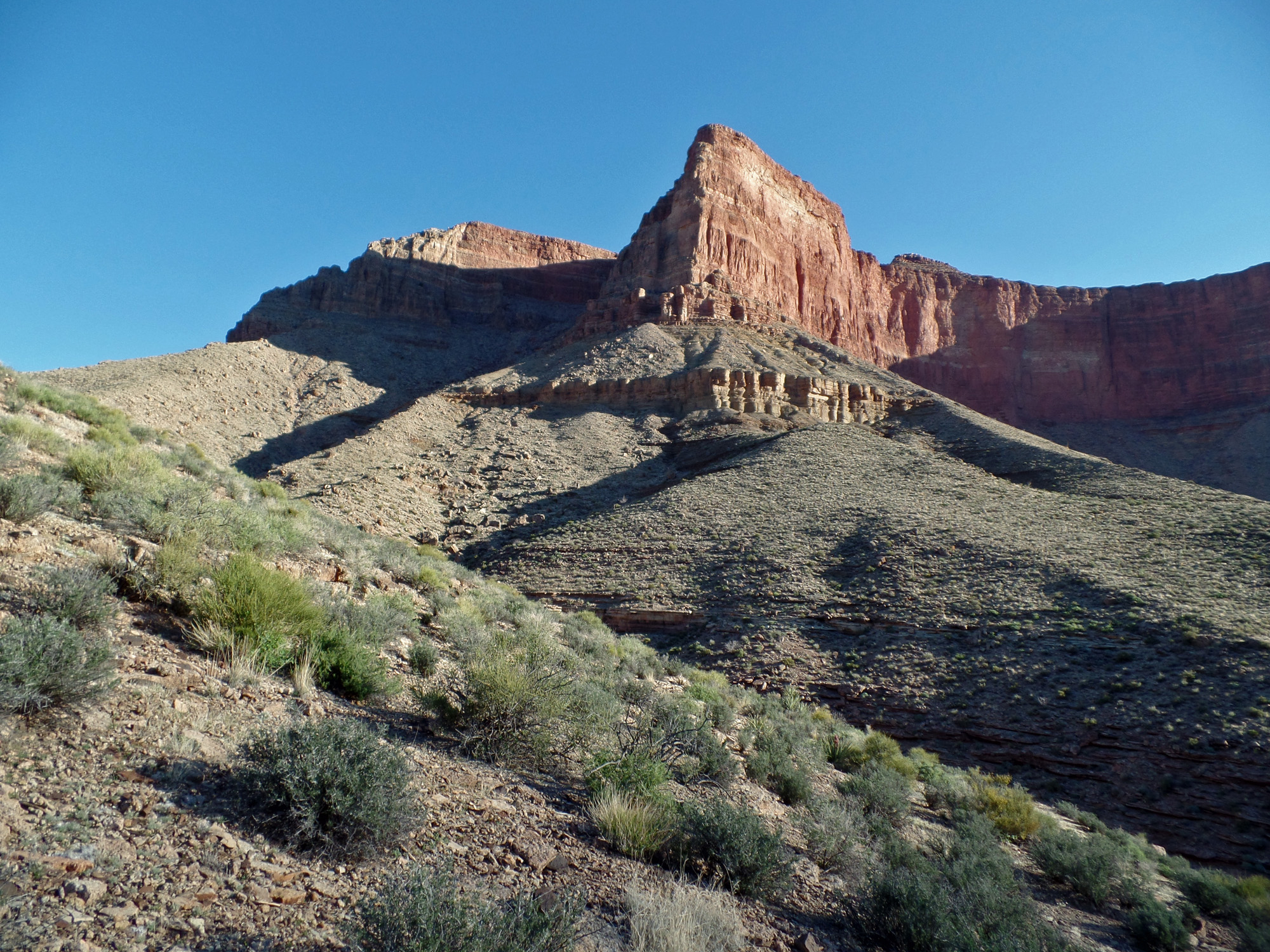
Wotans Throne from Hall Butte saddle.

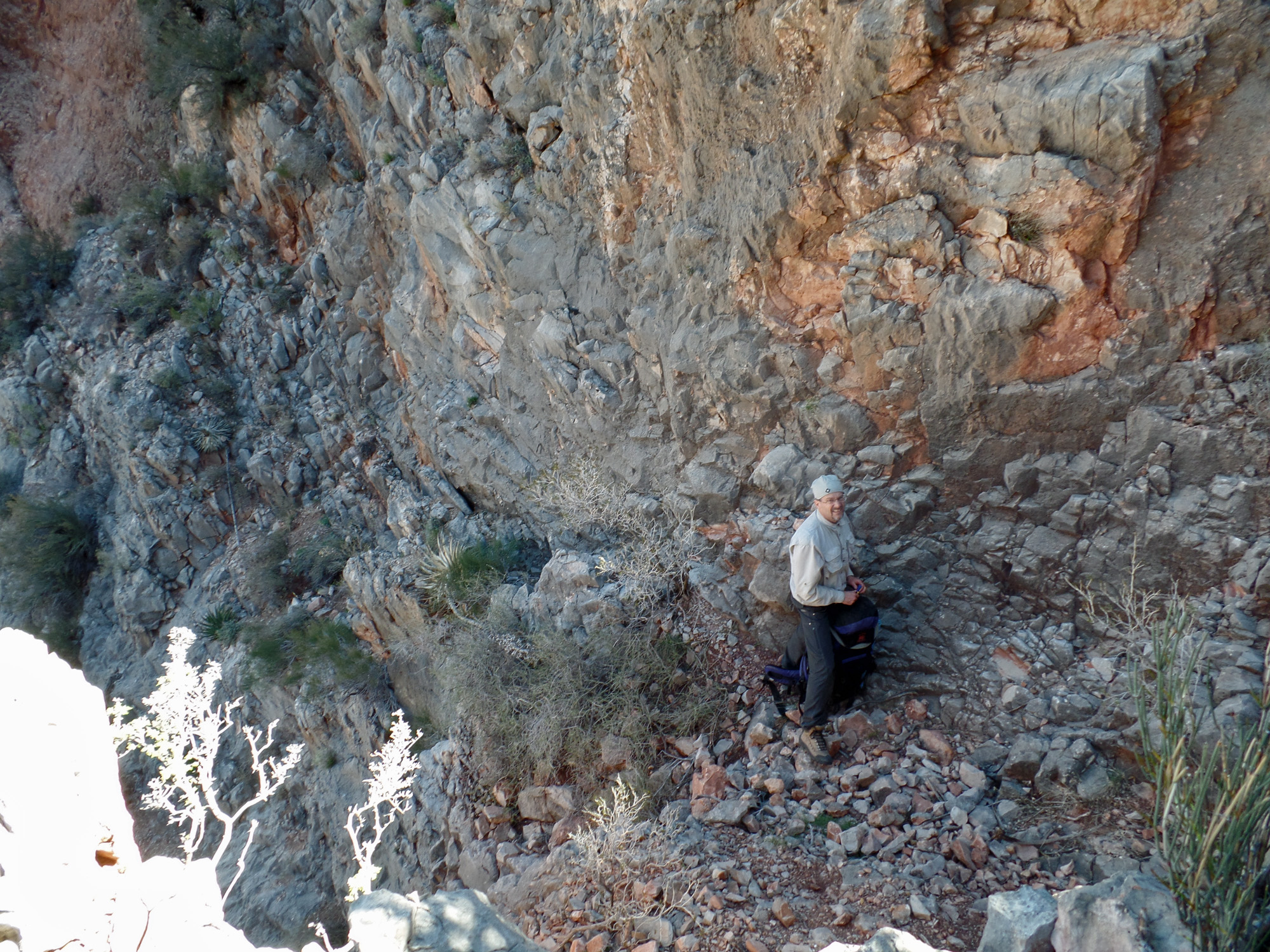
Bill starts the descent into Vishnu.

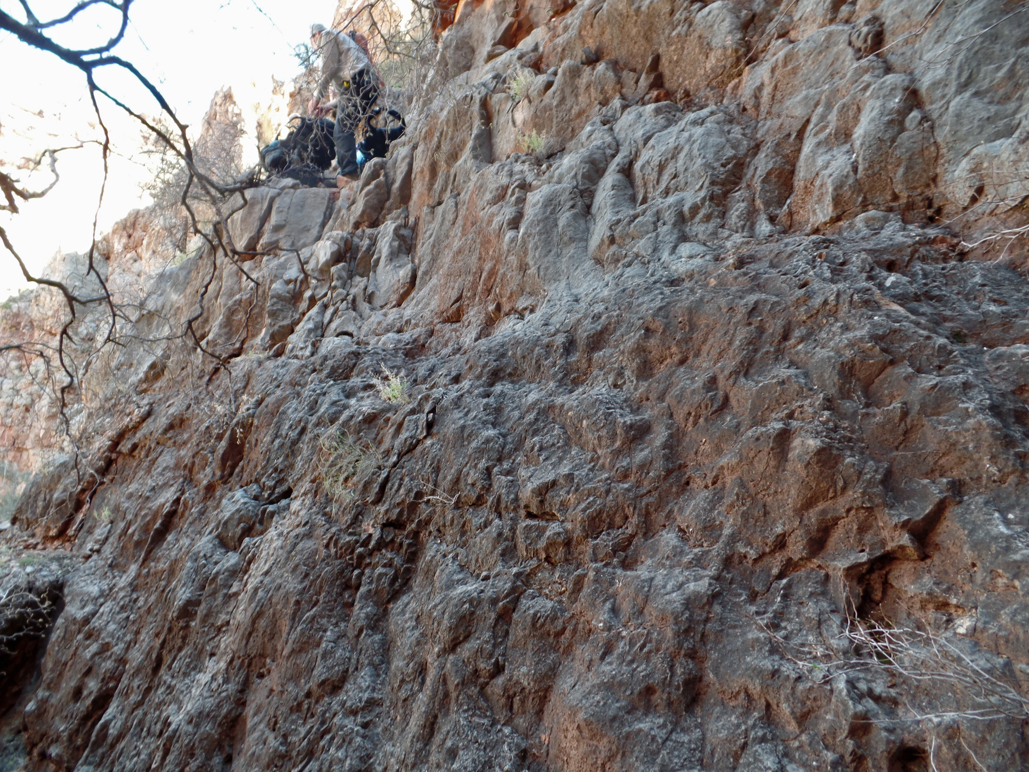
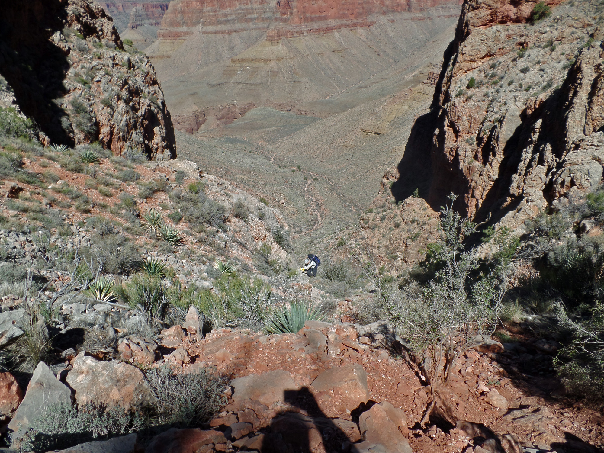
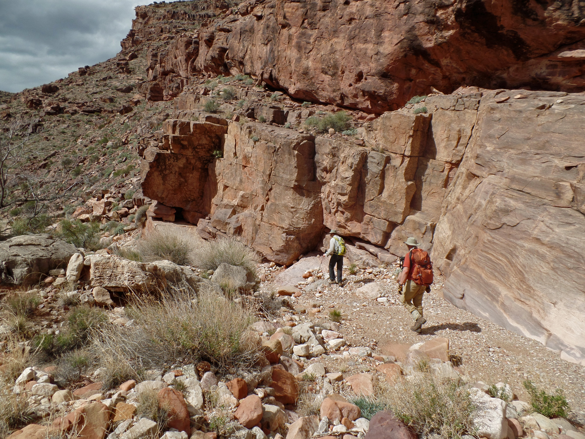
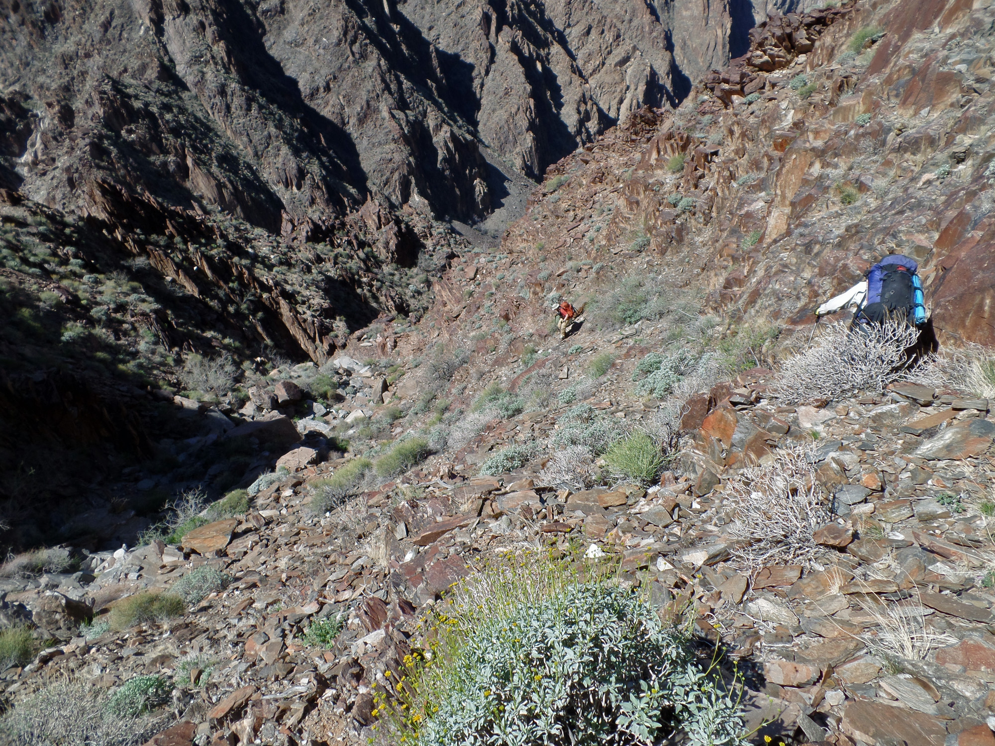
John follows the route along the rocky slope that descends through the Redwall and into the Bright Angel shale before we can contour to a slope through the Tapeats cliff.

John contouring toward the slope.

John makes his way down the Redwall.

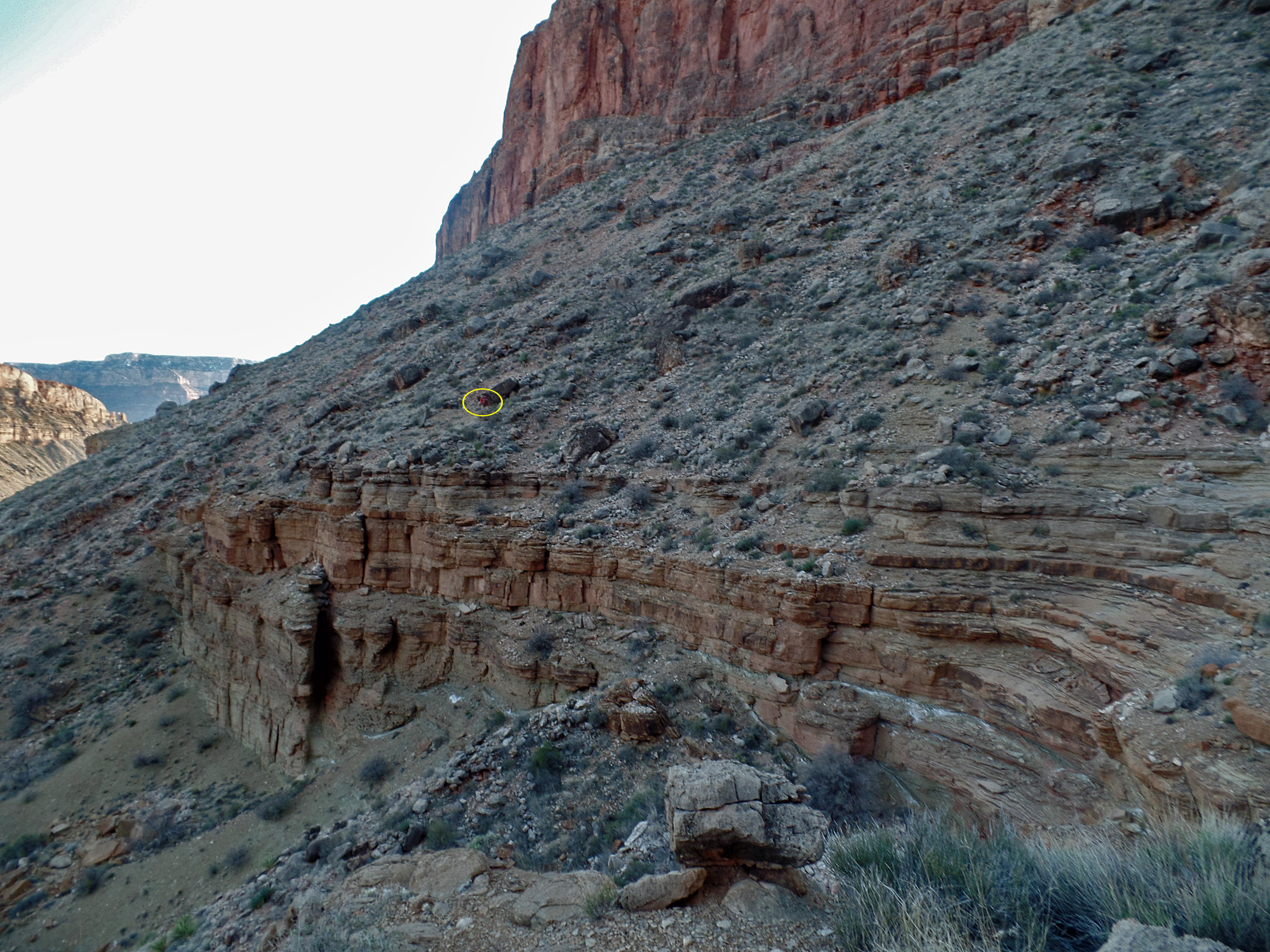
Bill contouring to slope.

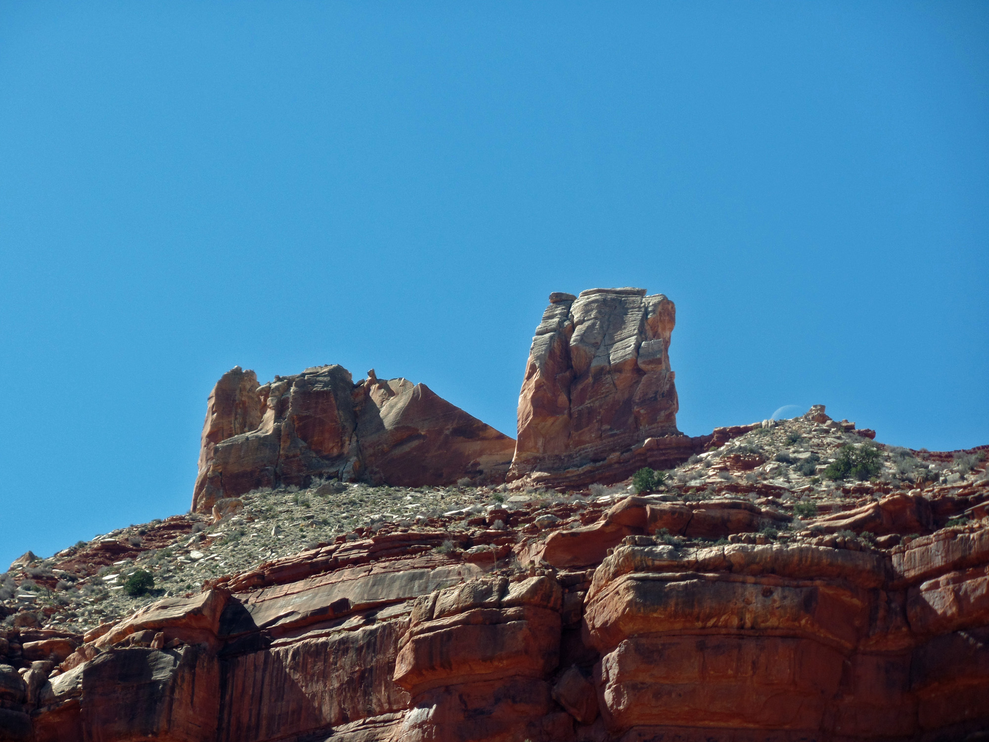
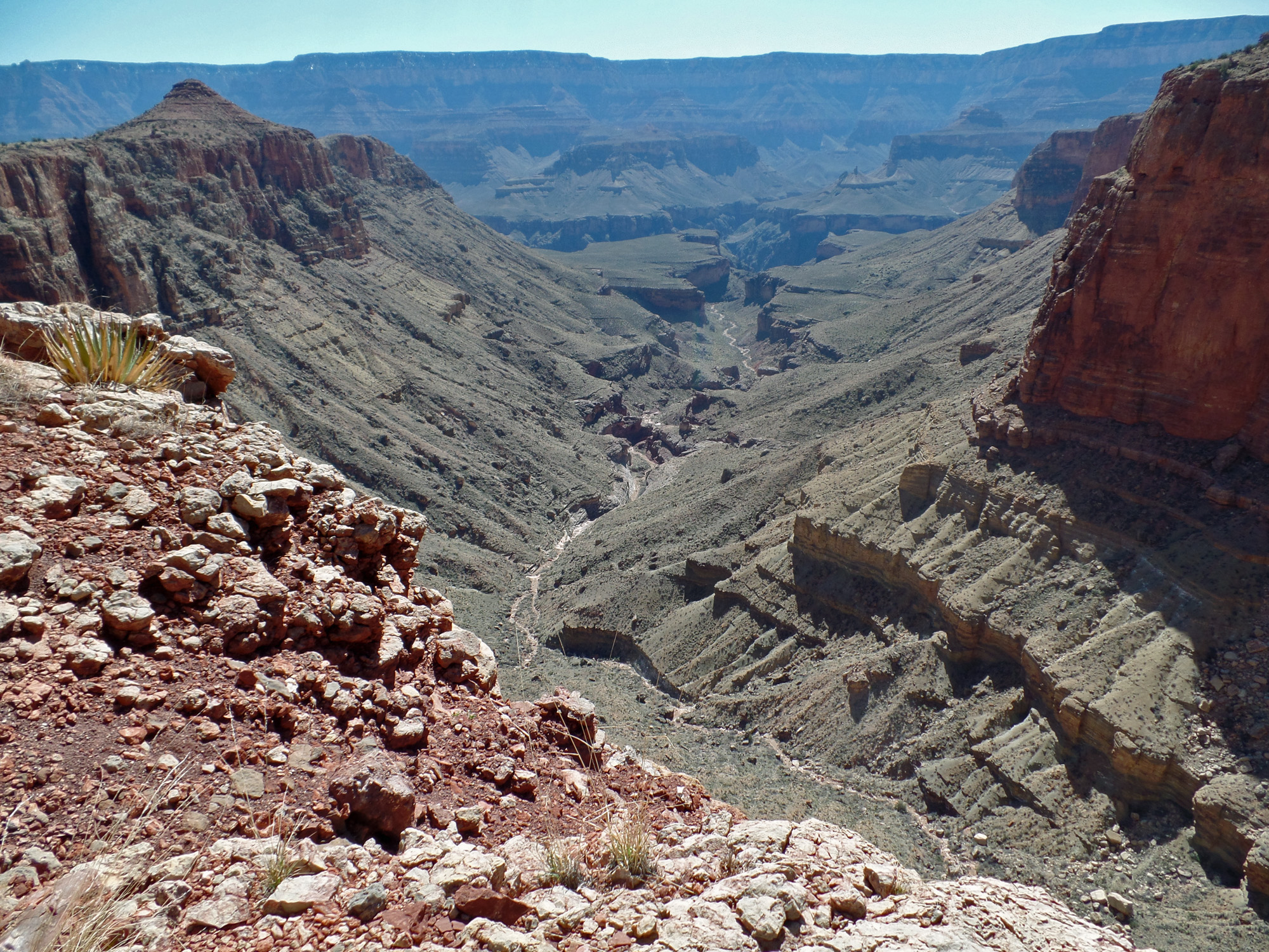
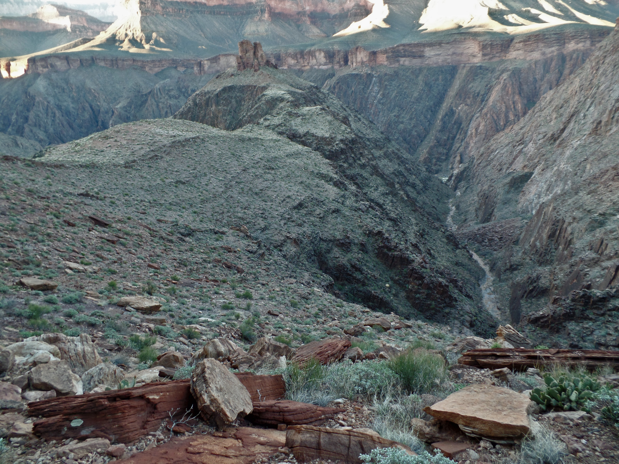
View across Vishnu to Newberry Butte.
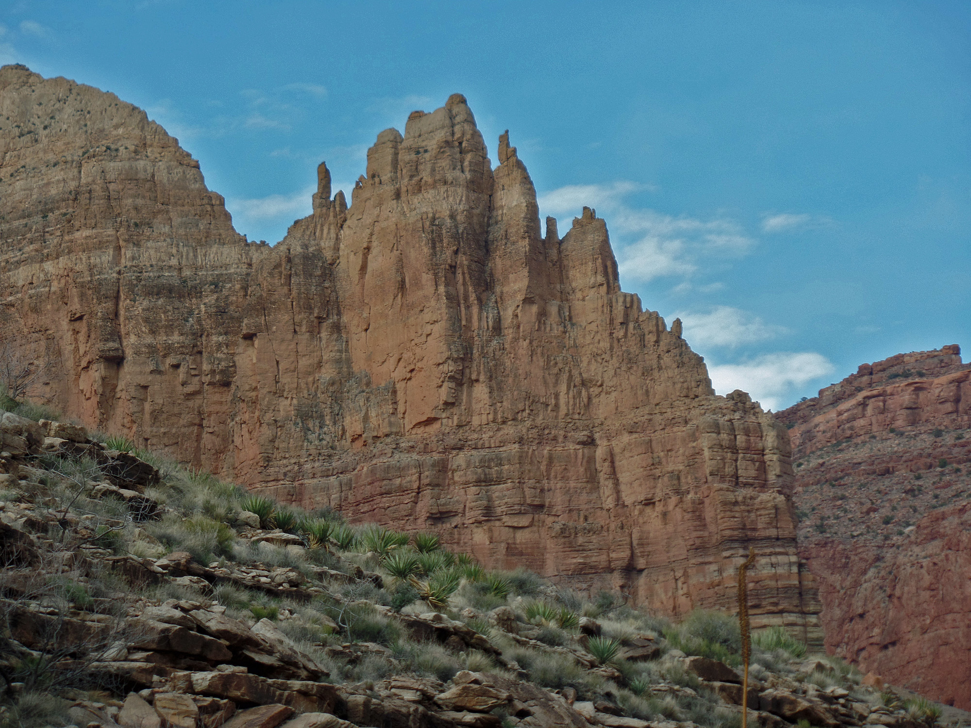
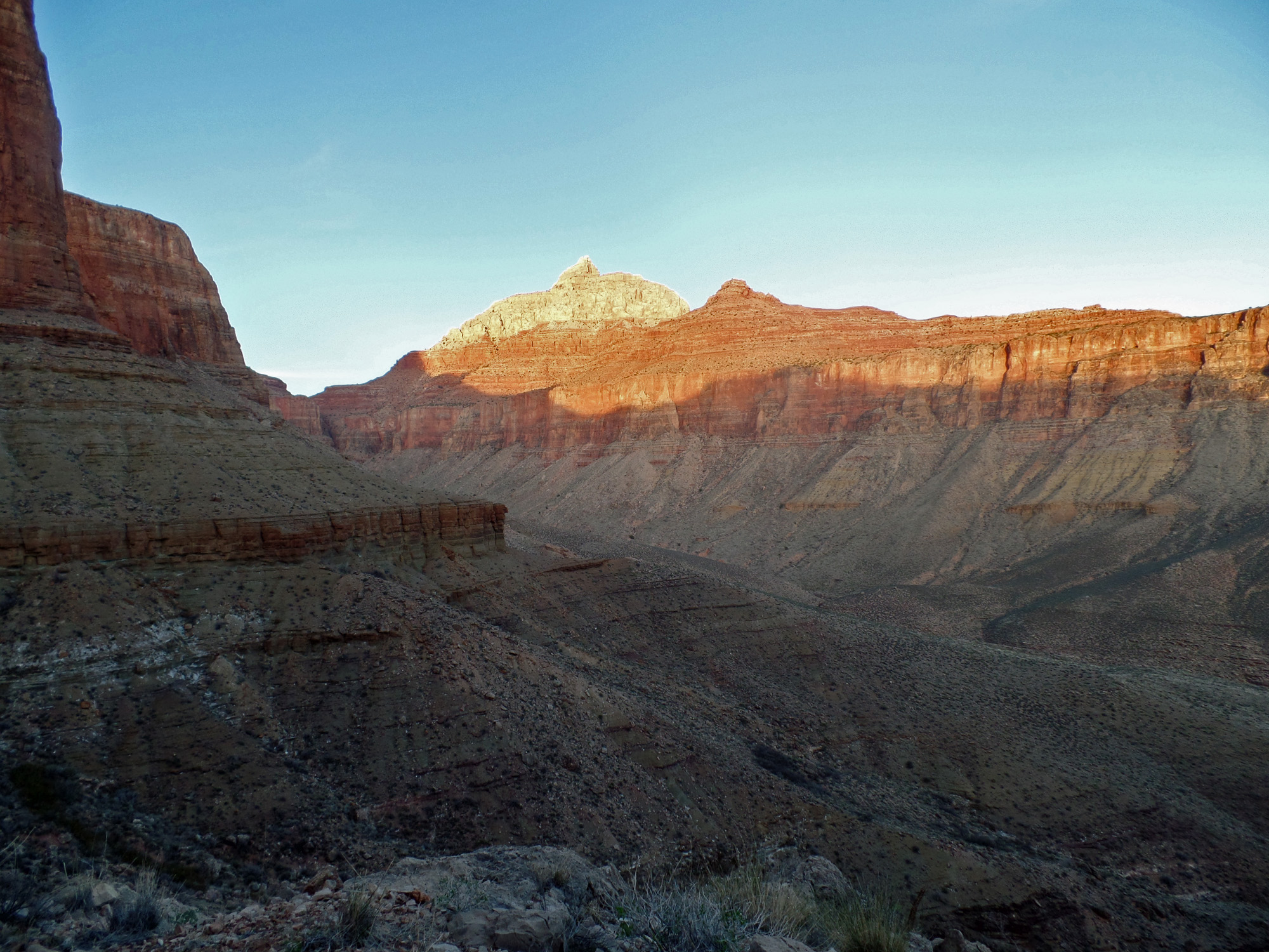
Vishnu Temple.

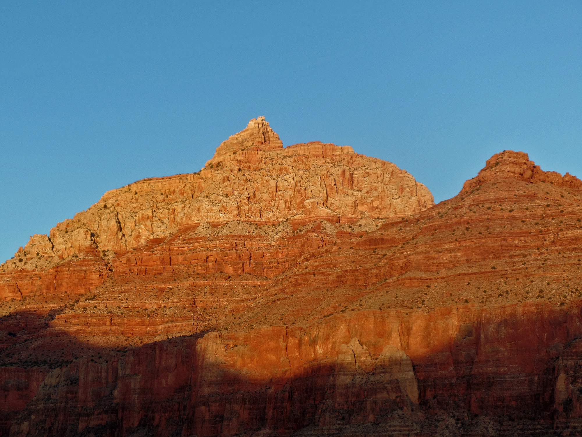
Close-up of Vishnu Temple.

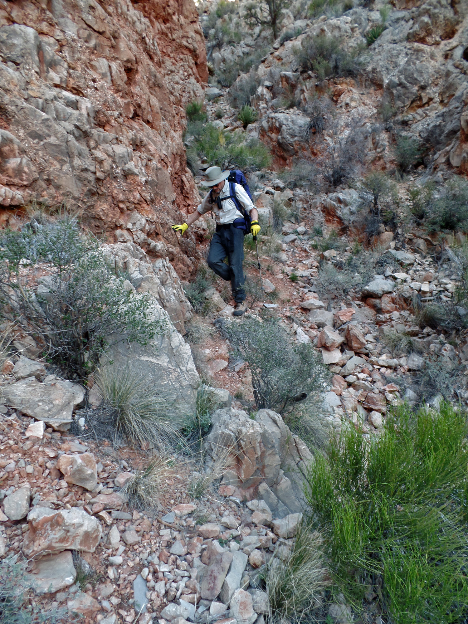
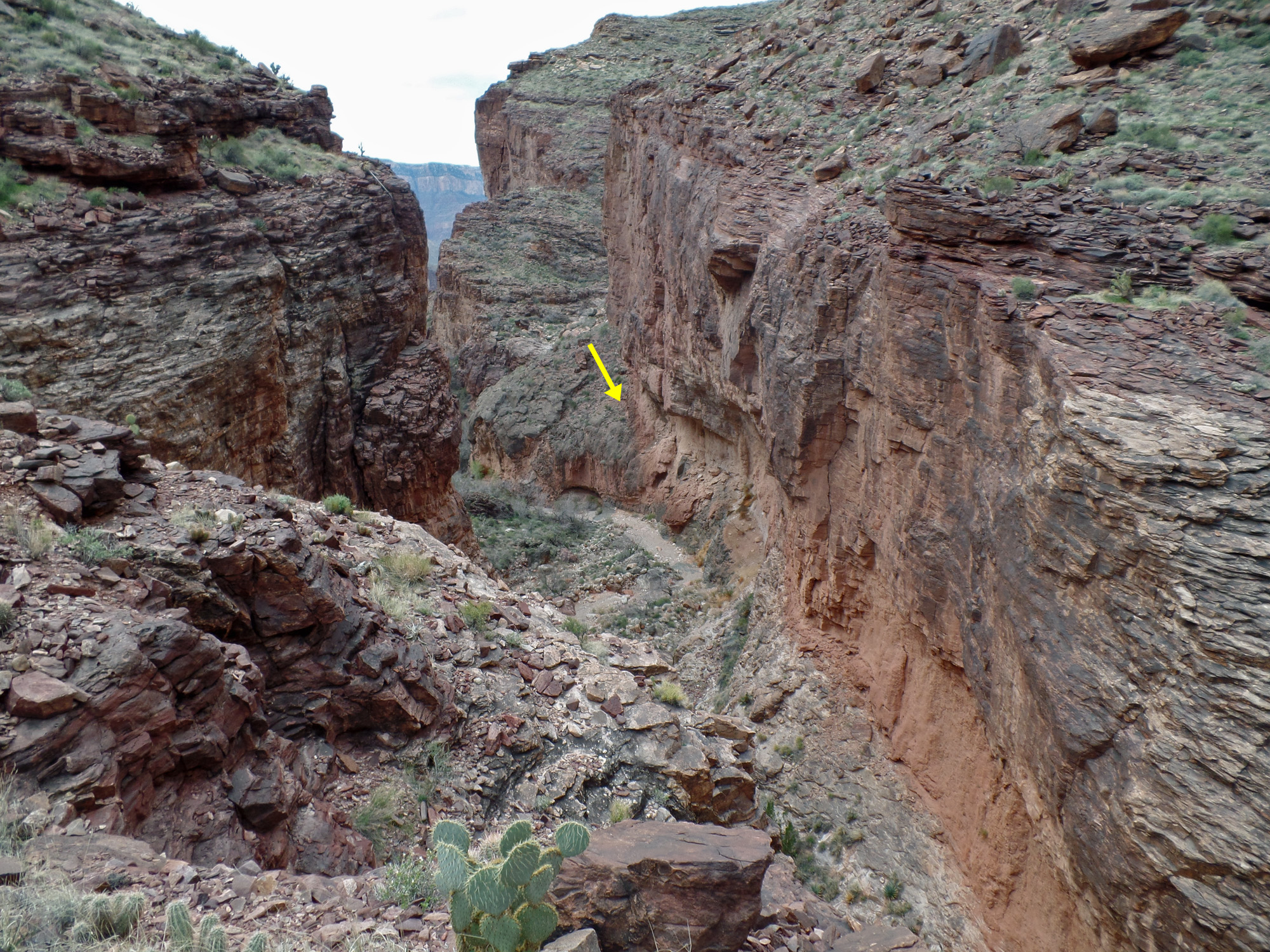
Day 4 - To Vishnu Canyon camp (Tuesday, March 17)

     We were up by 6 a.m. and on our way by 8:15 a.m.  John's shoulder was sore, but he was able to hike well enough.  We decided to forego the plan to hike to Asbestos and instead hike down into Vishnu and camp at a popular overhang that is near to the route we followed into the canyon.  We followed the spring down toward the canyon, 
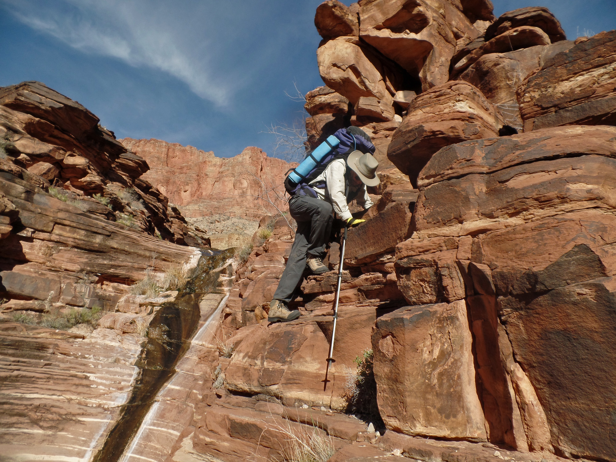
with a couple of places where we had to get by small waterfalls.  
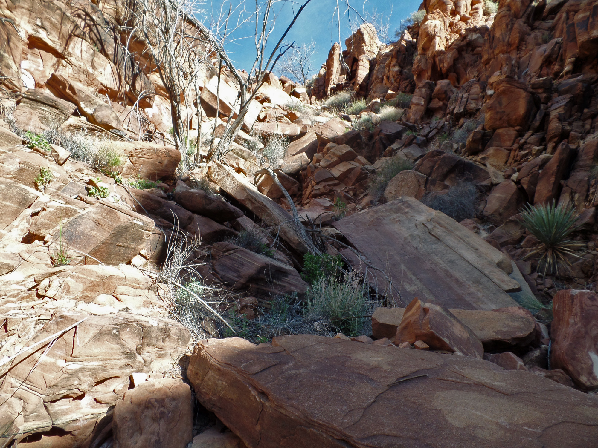
Then we had to contour over into a parallel ravine that was full of blocky rocks that took us through the brush to the bed of Vishnu.  I'm sure it took us less than ten minutes to hike down from here to the overhang where we set up camp.
     We decided to hike down the canyon and into the lower valley to see the old cabin I had first seen in 1993 (from a lunch stop on the Tonto level!) and first visited in 1998.  At 11 a.m. we were on our way.  The gravelly bed ends at a dry fall.  In 1981 I hiked to here from Phantom and thought that the route across Vishnu was below the dry fall.  That led me to an awful section about 15-20 feet above the bed which froze me in my tracks.  After much soul-searching, I plunged ahead across a couple of almost sheer spots to safety and down to the bed.  With my pack on.  Then I climbed out the other side and continued to Asbestos Canyon.  Coming back I decided it would be best to cross above the dry fall!  Today I would get a chance to better photograph that awful spot before we descended to the lower valley.
     Our route down was rather cool.  Chris Forsyth had posted up some pictures of a bypass bench that got us past the dry fall on our left (east).  Easy peasy.  We wrapped around a protruding hillside and then followed a couple of cairns down a ravine to the bed.  One spot had some rocks built up so one can make a long step down - a bit awkward, but worked OK for us.  It seems to me that there might be a better route to the bed just a little further downstream.
     We were in the bed of the lower valley by 1:15 p.m.  We searched around for the old cabin but came up empty.  I did not bring any notes about this because I didn't think that we'd have time for it, and clearly my memory of where it was located was lacking.  We stopped and ate lunch at 2 p.m. and an hour later were on our way back to our camp.  As it turned out, we just needed to go a little further downstream - not more than five minutes!! - to find the cabin.  We did see it from the Tonto two days later when we were hiking back to Clear Creek.  So it goes.
     We were back in our camp by 4:45.  Dinner this evening included a little dessert treat - green colored crème brulee, in celebration of St. Patrick's Day!

Click on any picture to see a larger image.


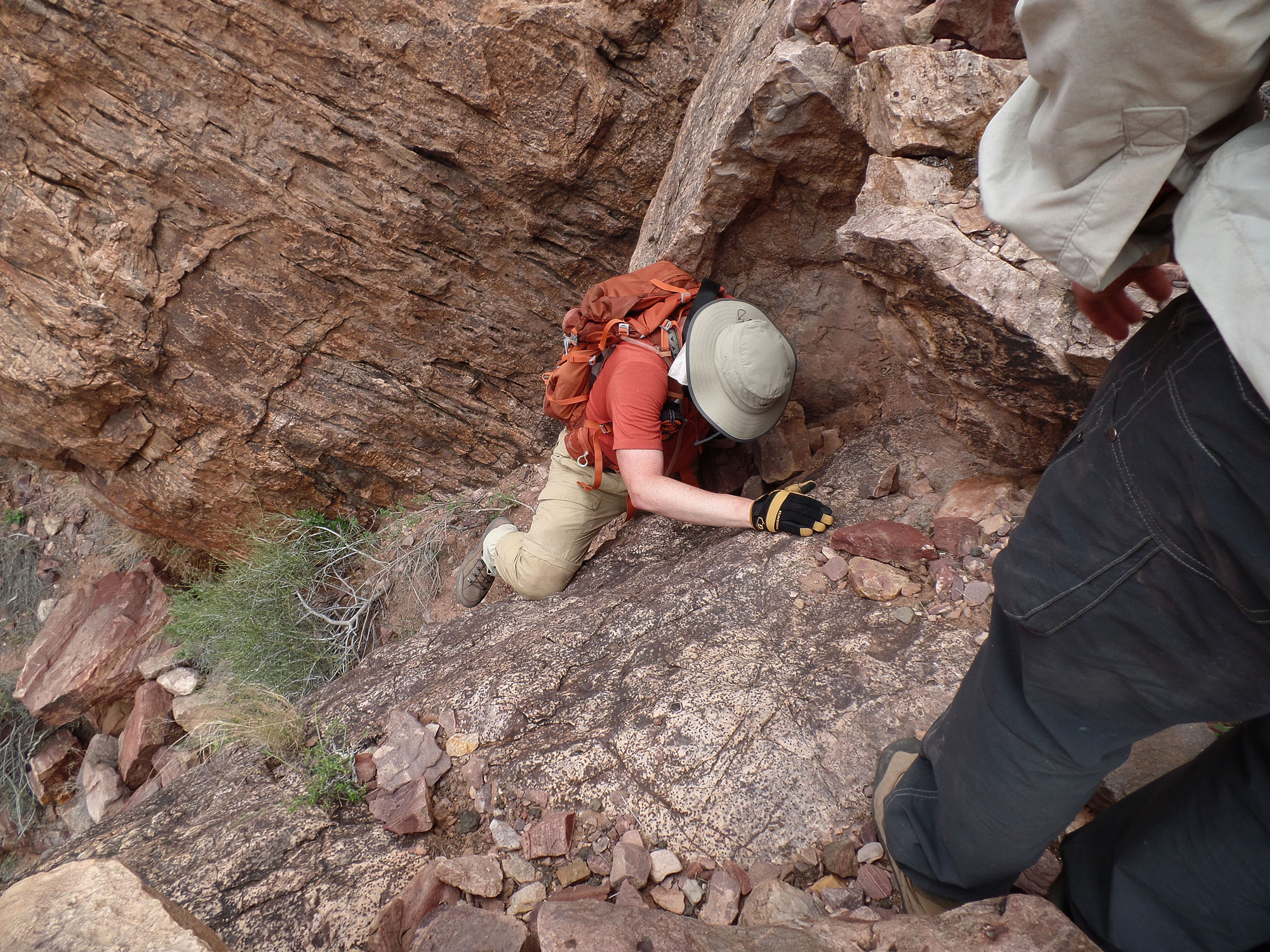
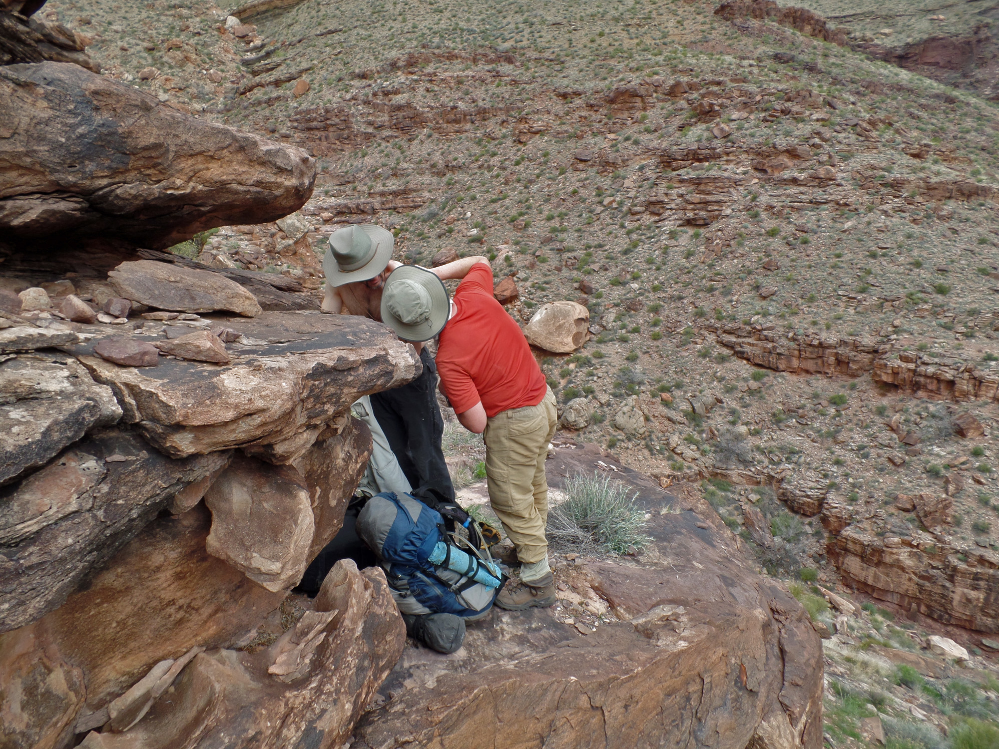
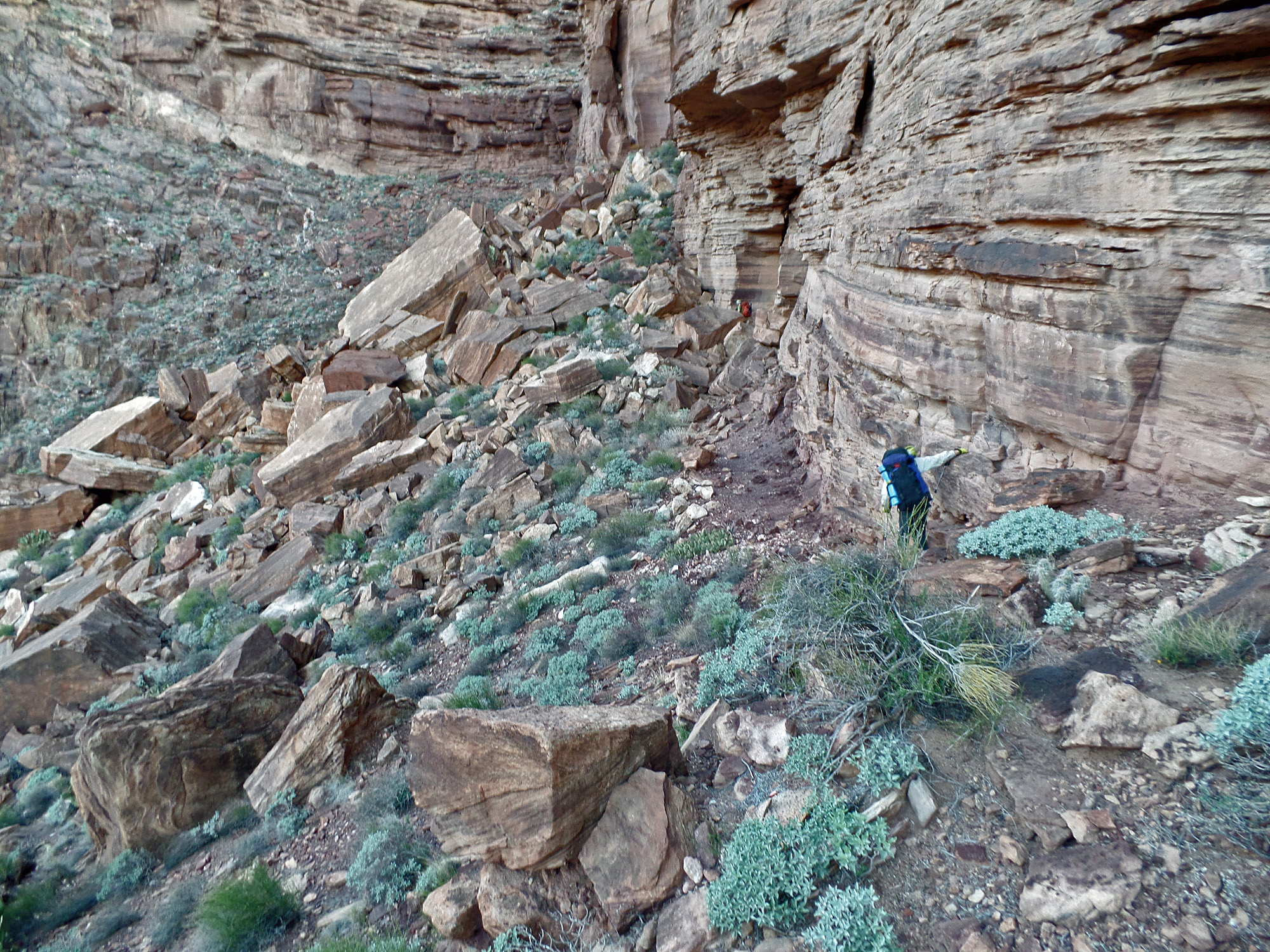
While contouring to the cliff break John fell and hurt his shoulder.  We were able to continue down to this spring - the same place Bill & I reached in 2010 after we were hurt in a rock slide.

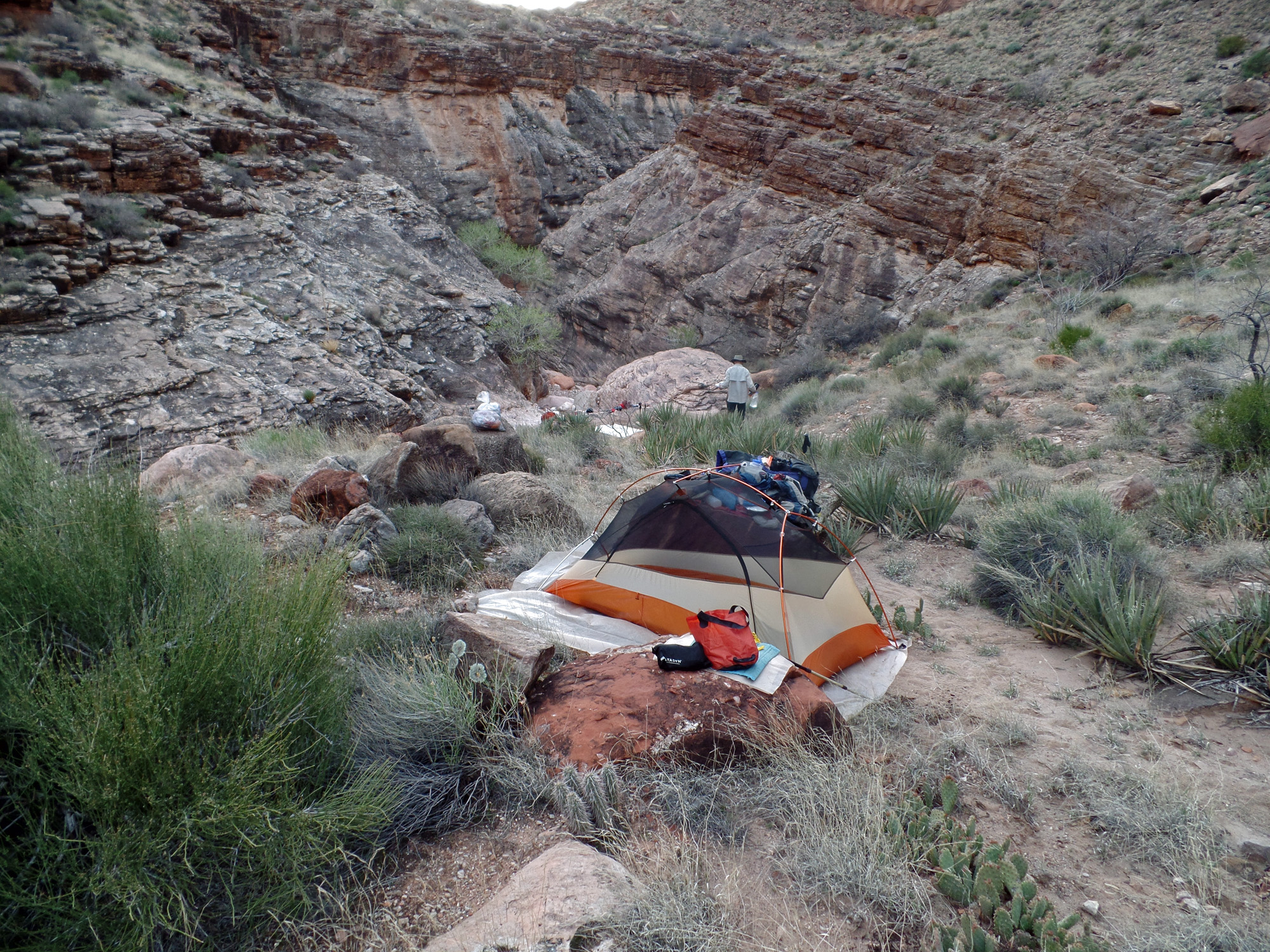
Ledge camp at spring.

Looking back up at descent route.
 
Getting to the bed of Vishnu.

Following the water down this ravine.


Bill & John inspect next spot.

John climbs around to dry ravine.

Bill gets a picture of us!

The dry ravine parallels the wet one.
 
Final view down to the bed of Vishnu.

Looking back at little waterfall.


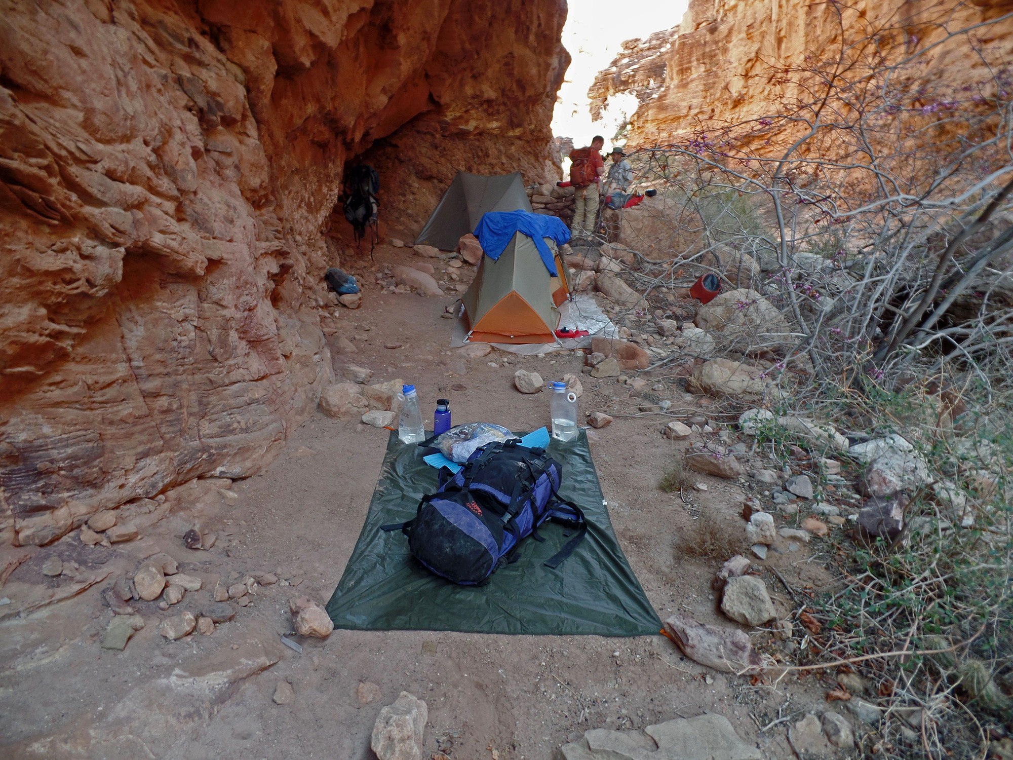
Overhang camp in Vishnu.

Day hiking down Vishnu.

Lower exit from Vishnu to the west.

Looking down the dry fall.
 
Looking at awful route I did in 1981.

Close-up of 1981 lower route.


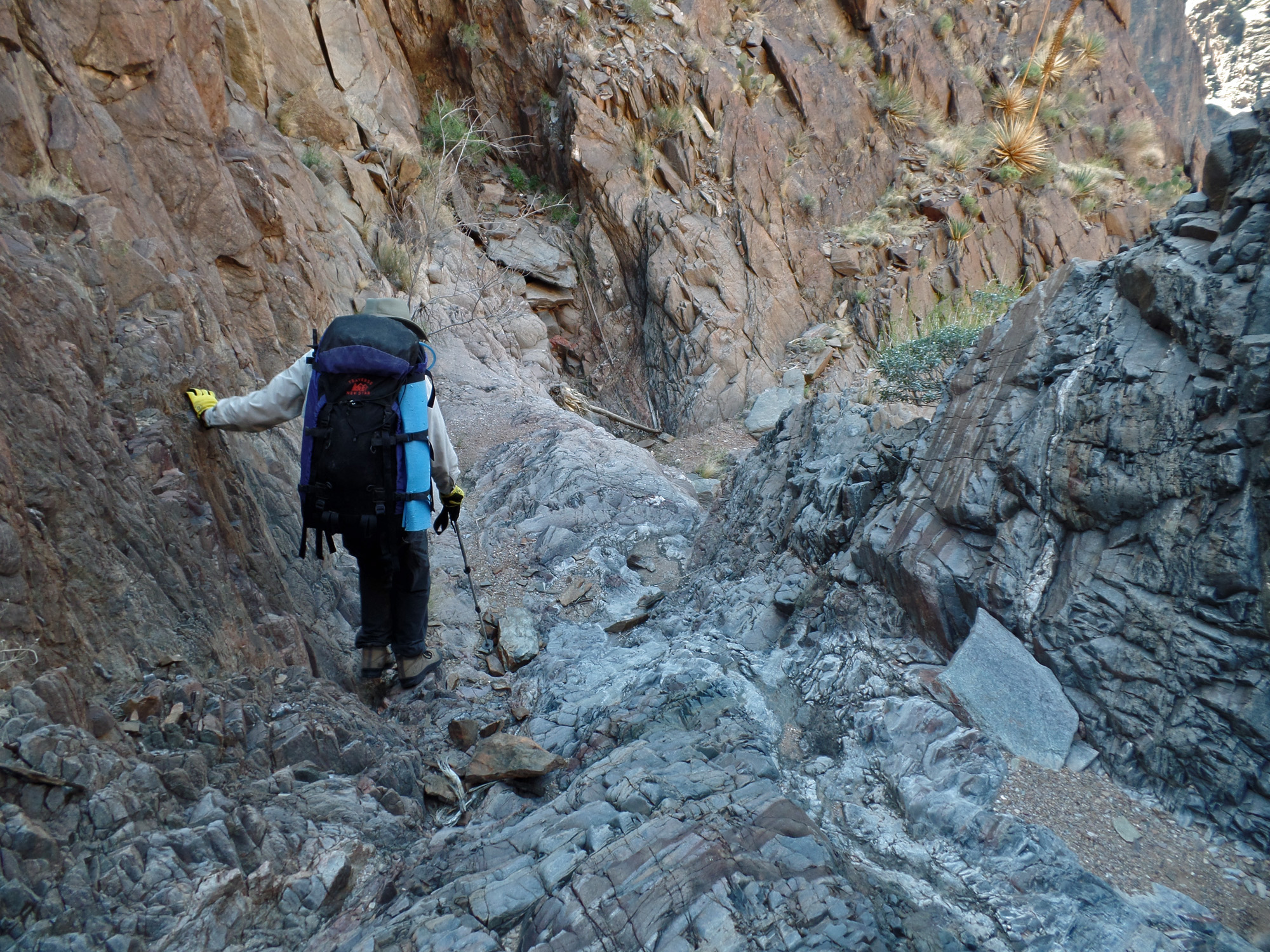
East route into lower bed of Vishnu.
 
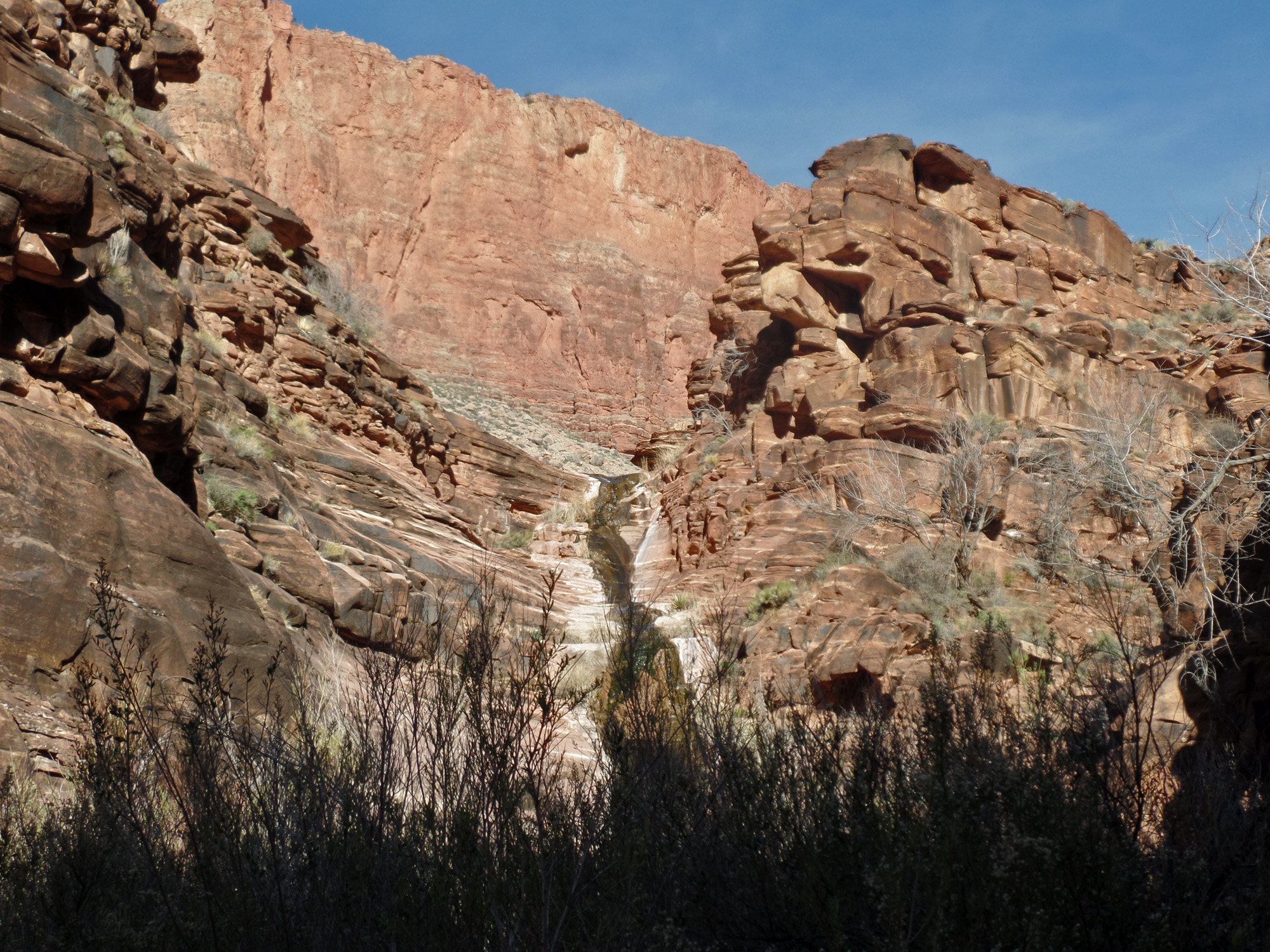
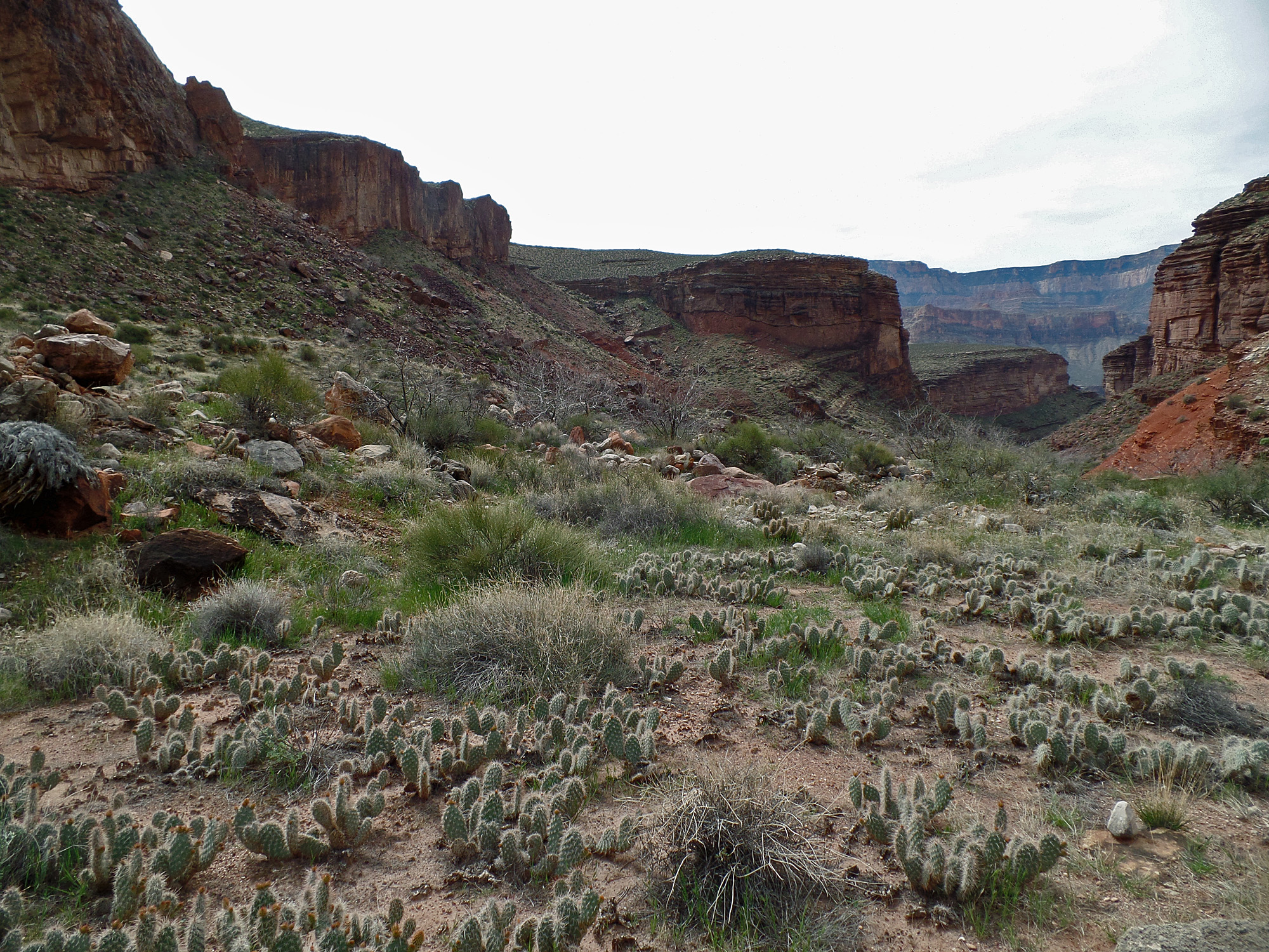
Once down into the lower bed of Vishnu (below the dry fall) we did see a slight flow of water.  We hiked down the bed looking for the old cabin, without success.

Looking down the lower bed.

We were following a cairned route.

The crux to the lower bed.

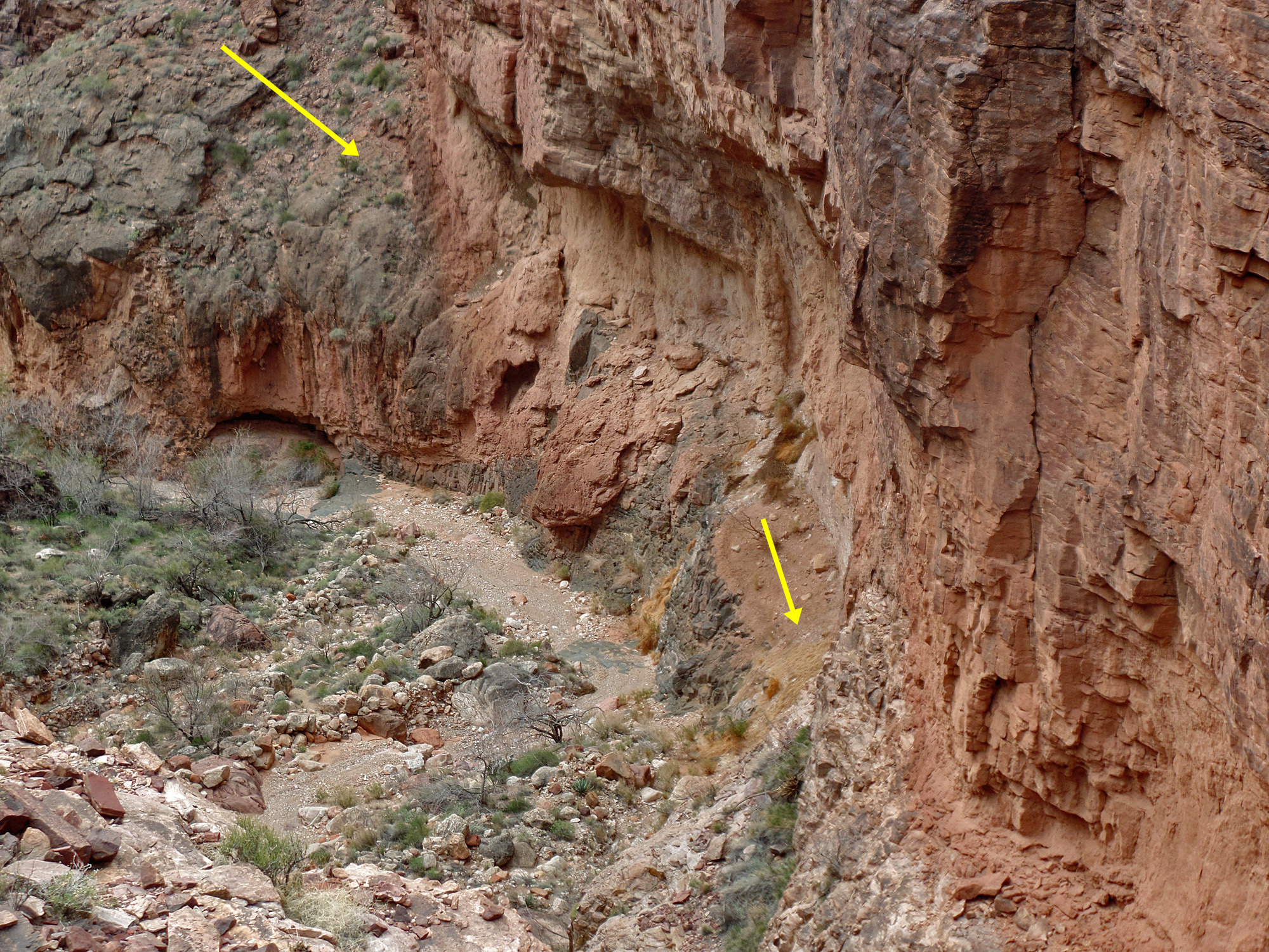
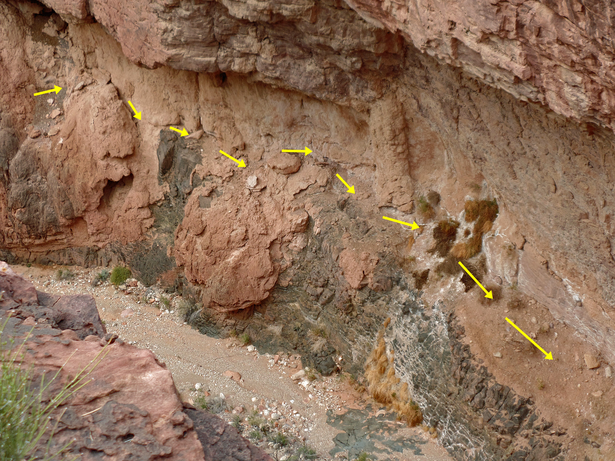
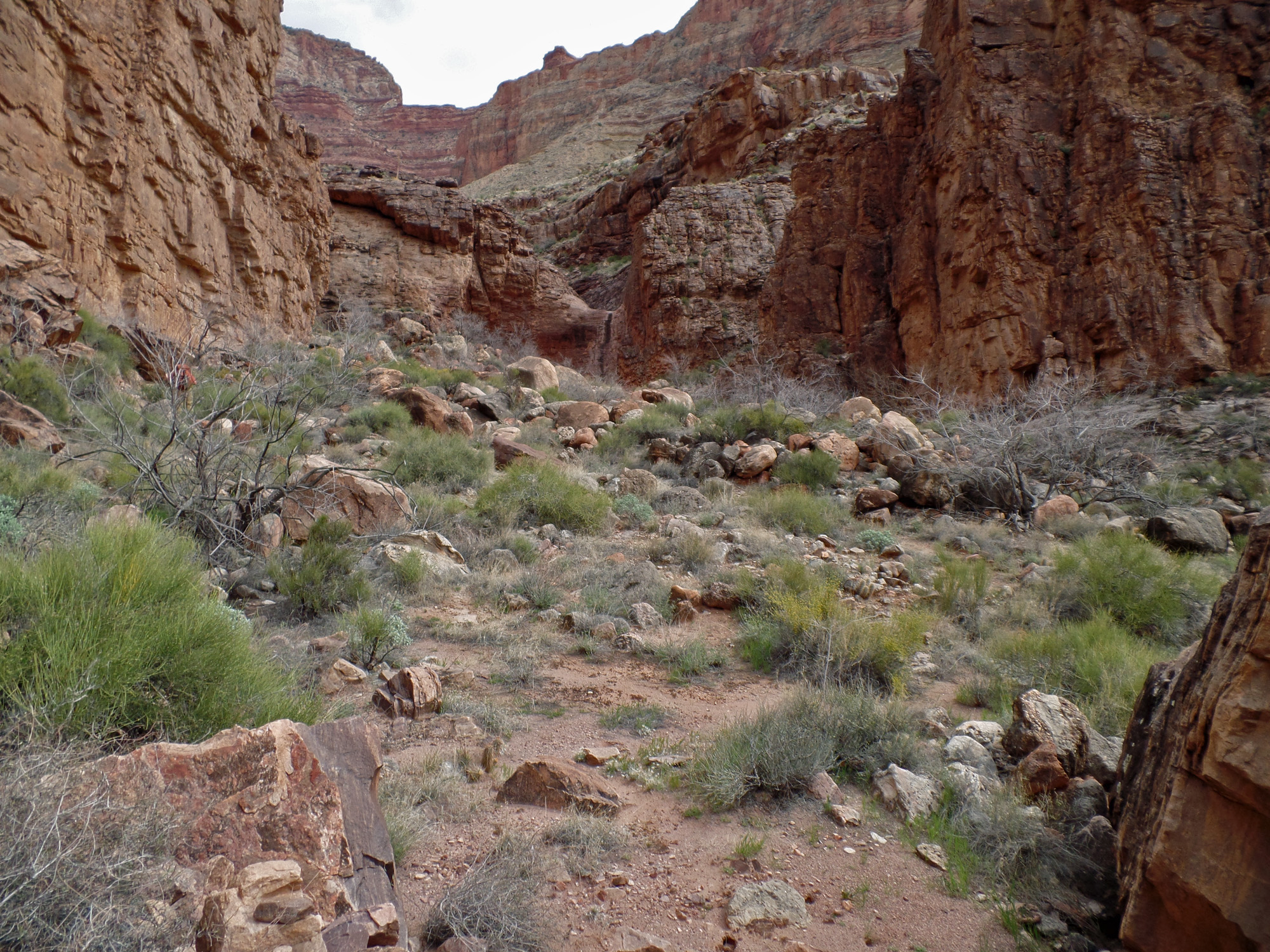
Day 5 - In Vishnu Canyon (Wednesday, March 18)

     I was up at 4:30 a.m. for a trek with my shovel, but up for good two hours later.  Bill was up a bit earlier and was out taking photos 
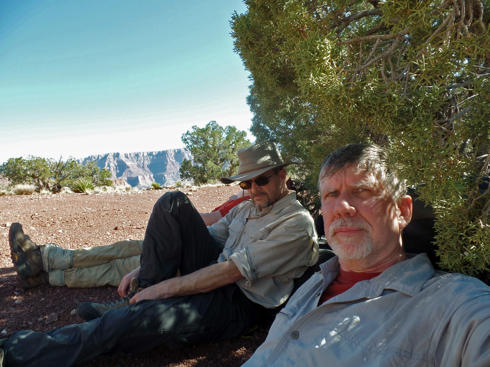
when John and I ate breakfast and talked about what do to this day.  We had decided it would be best to spend another day here and give John another day to recoup.  We thought about taking some water up to the Tonto for the the hike out and when Bill returned he concurred.  At 9 a.m. we left our camp with fourteen liters of water to cache.  We went down the bed to the dry fall.  In 1998 (I think) I had found a route out to the west from here that is in the first big bay (which I had used in 1981 to cross below the dry fall).  It is a bit sketchy, but seems like a good way to exit from here.  We have to cross over to the other side of the bay and then then head up to the Tonto level.
     We got above the cliffs by 10:30 a.m. and about forty minutes later reached a spot where we decided to cache our water.  We figured it would be a great help not to have to carry all this weight, along with our packs, tomorrow, especially when climbing up to the Tonto level.  At noon we were done and heading back, reaching our camp at 1:15 p.m.  We decided that we would still exit via the waterfall route, since it is closer and probably faster.
     For much of the afternoon it was just a case of kicking back and taking it easy.  We had lunch, fixed up our camp, got our water prepped and just rested.  At 4:40 p.m. John and I decided to take a little hike up the canyon through the narrows.  I had never been through here having previously only crossed over below our camp, or, in 1996, come down the canyon from the high saddle between here and Unkar, and stayed on the Tonto as I contoured out to the west.  We went up to the open valley above the narrows where a spring was producing a good flow in the bed and where there are cottonwood trees growing.  We turned back at 5:30 p.m. and were back in camp a half hour later, ready to have a hearty dinner.

Click on any picture to see a larger image.


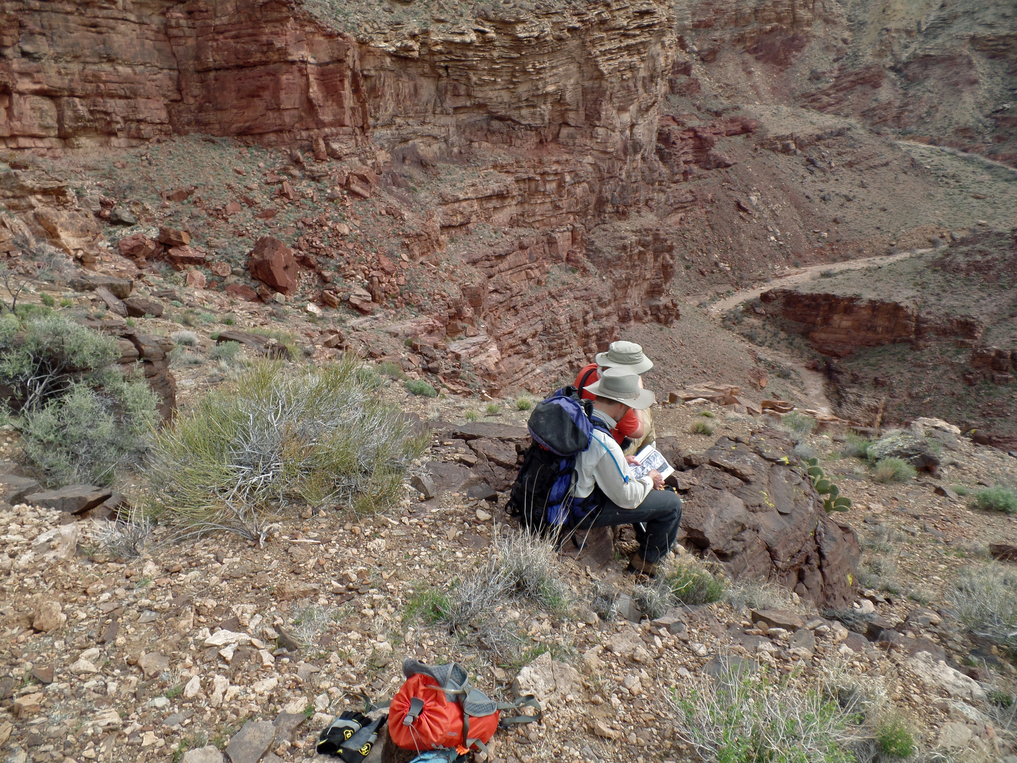
Caching water for exit.

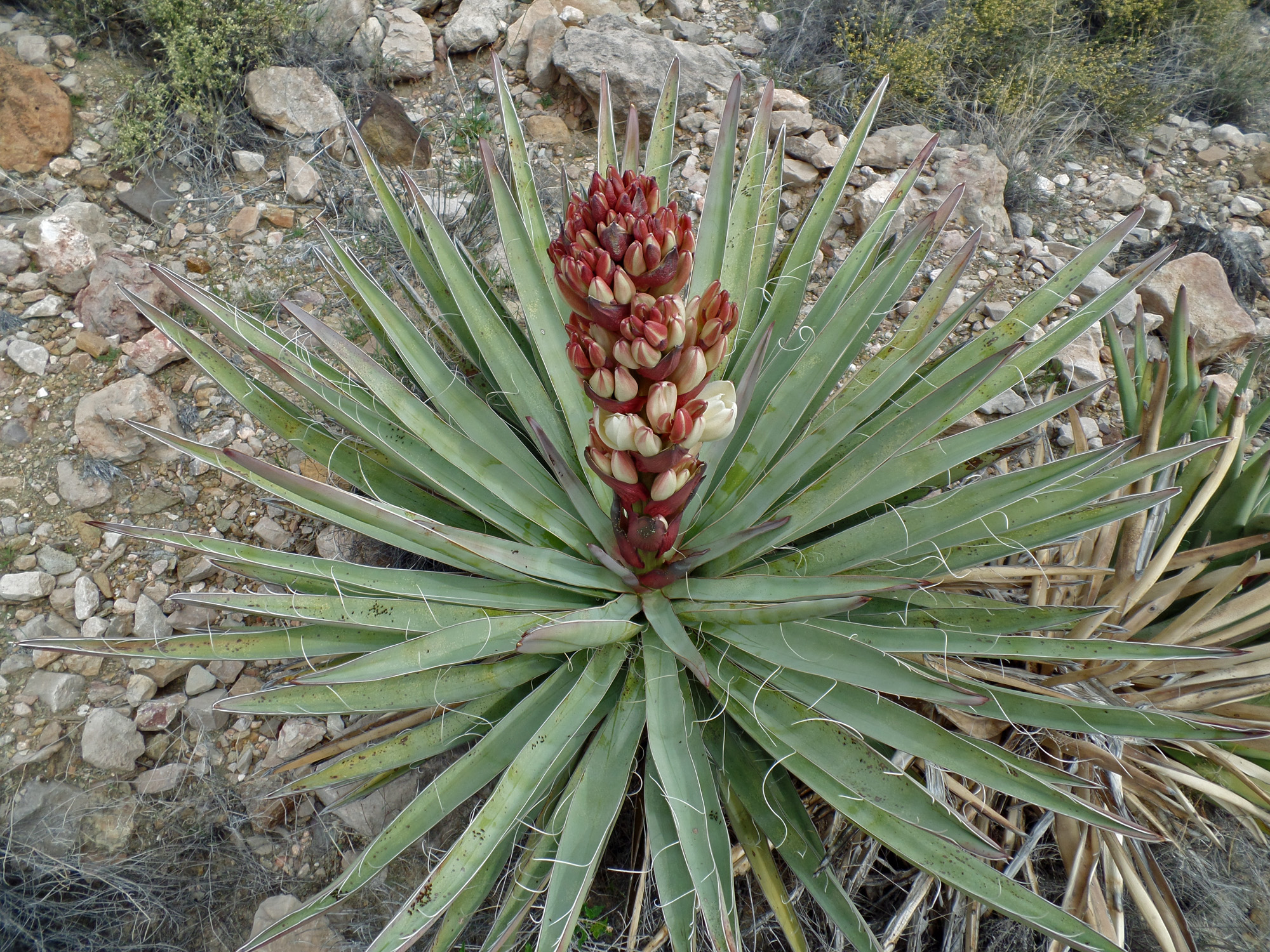
Yucca is almost blooming.

Where we cached our water.

Returning from the water cache.
 
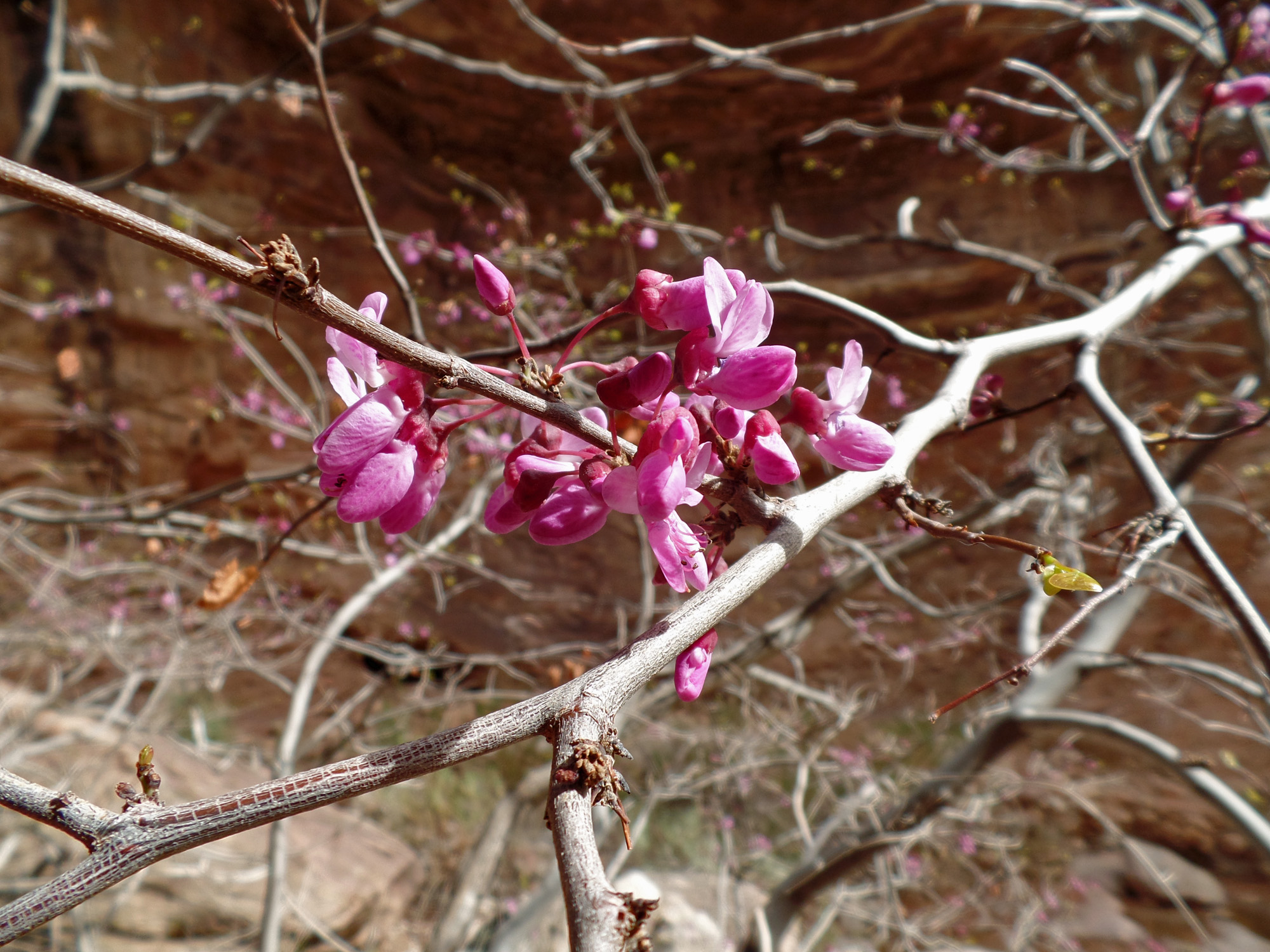
Blooming redbud tree at our camp.

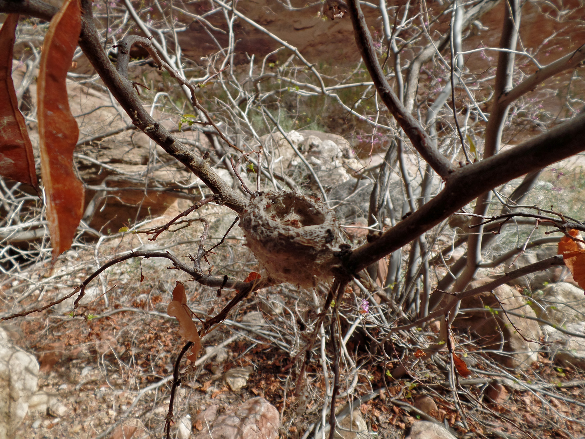
Hummingbird nest in redbud tree.


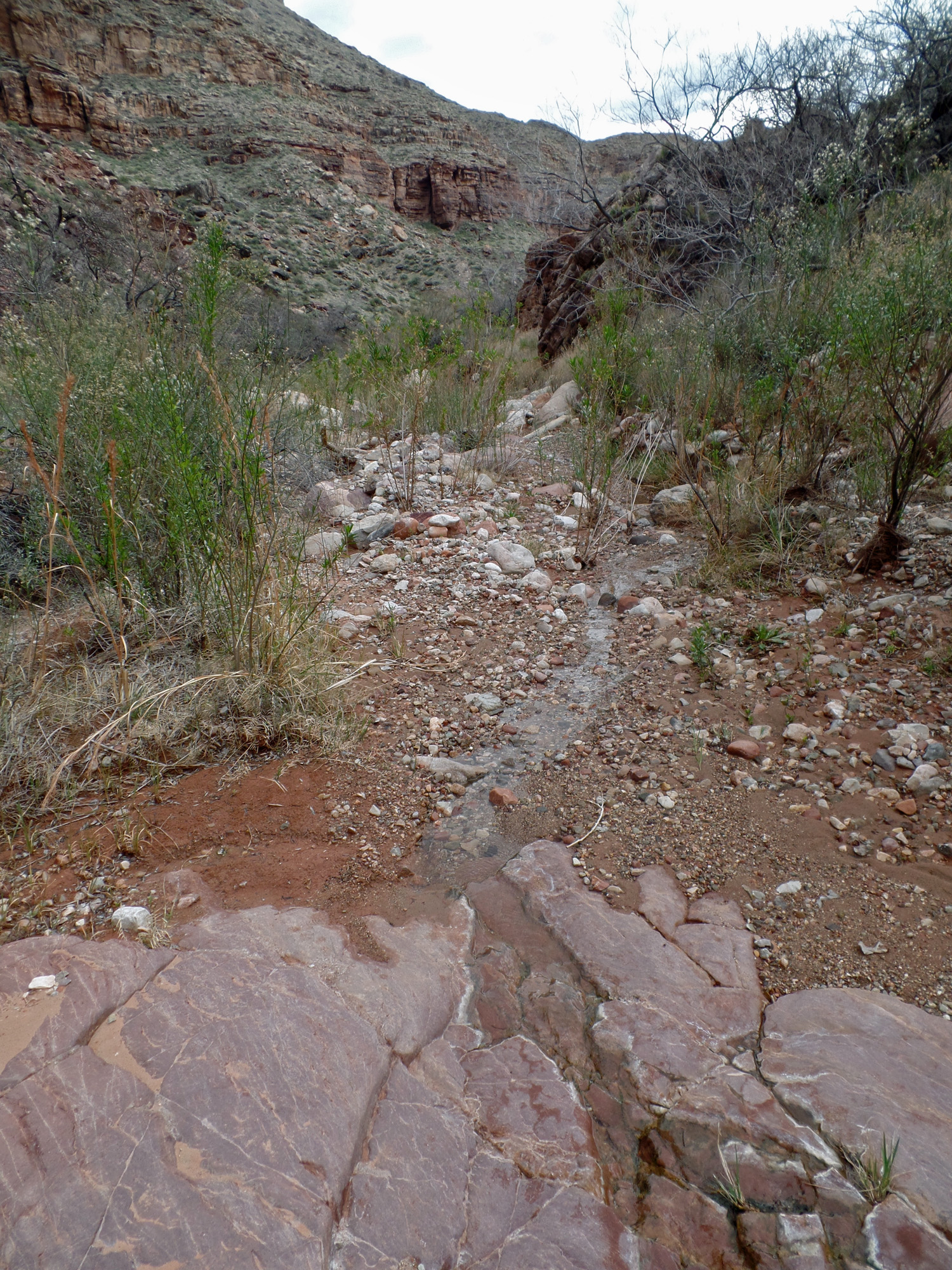
Day hiking up Vishnu narrows.

Water pockets in narrows.

The view up to the end of the narrows in Vishnu up above our campsite.  Soon enough the canyon opens up into a broad valley.

View up the narrows in sandy spot.
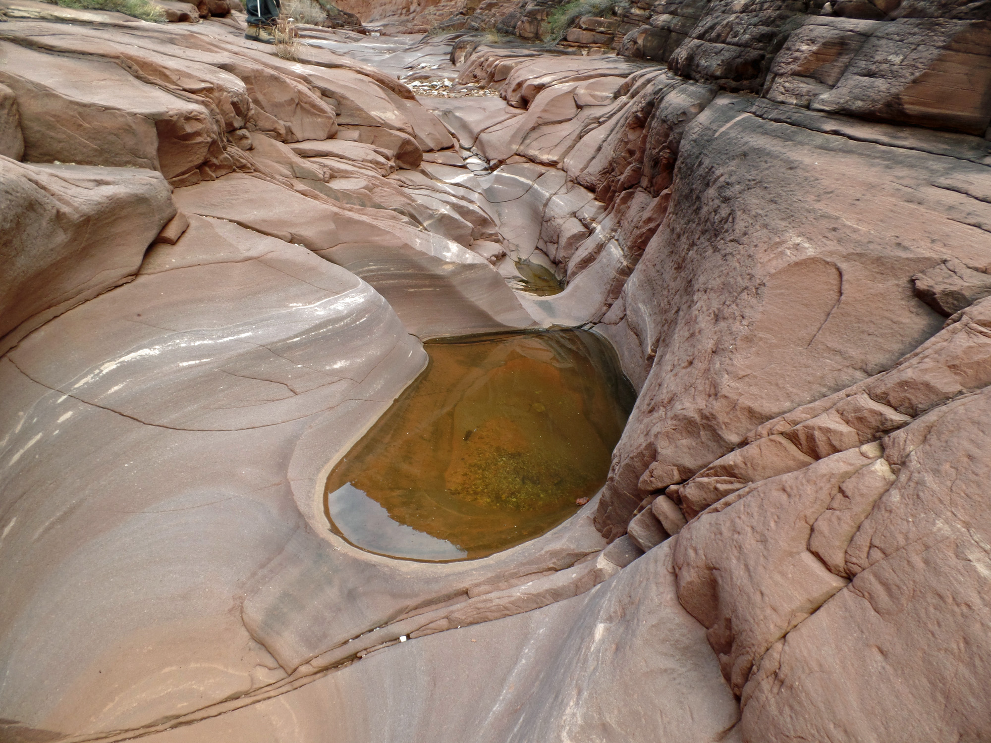
 
Water pocket.


Above the narrows, John shakes an agave and the hundreds/thousands of seeds went flying, making a very distinctive rattle.

View to upper end of Vishnu Canyon.

Close-up of "hoodoos."
 
Upper spring in Vishnu.

Looking back down Vishnu Canyon.

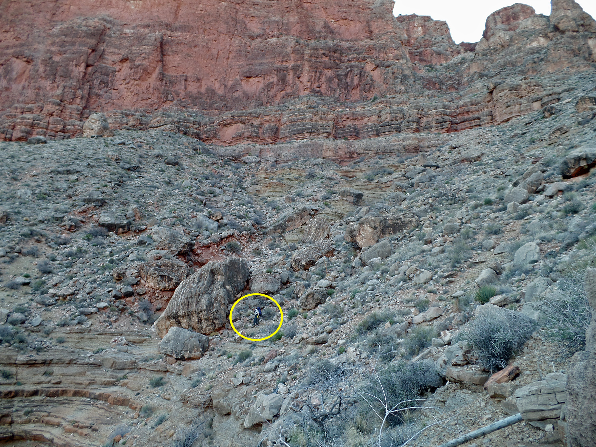
Day 6 - From Vishnu to 83 Mile canyon (Thursday, March 19)

     We were up at 4:30 a.m. and on our way at 6:45 a.m.  Mostly cloudy, but some blue breaking through in places.  It took us only 70 minutes to reach our water cache.  It was quite still and the bugs were especially ferocious.  I was wearing a bandana across my mouth and nose to try and keep them at bay.  As we came around Hall 
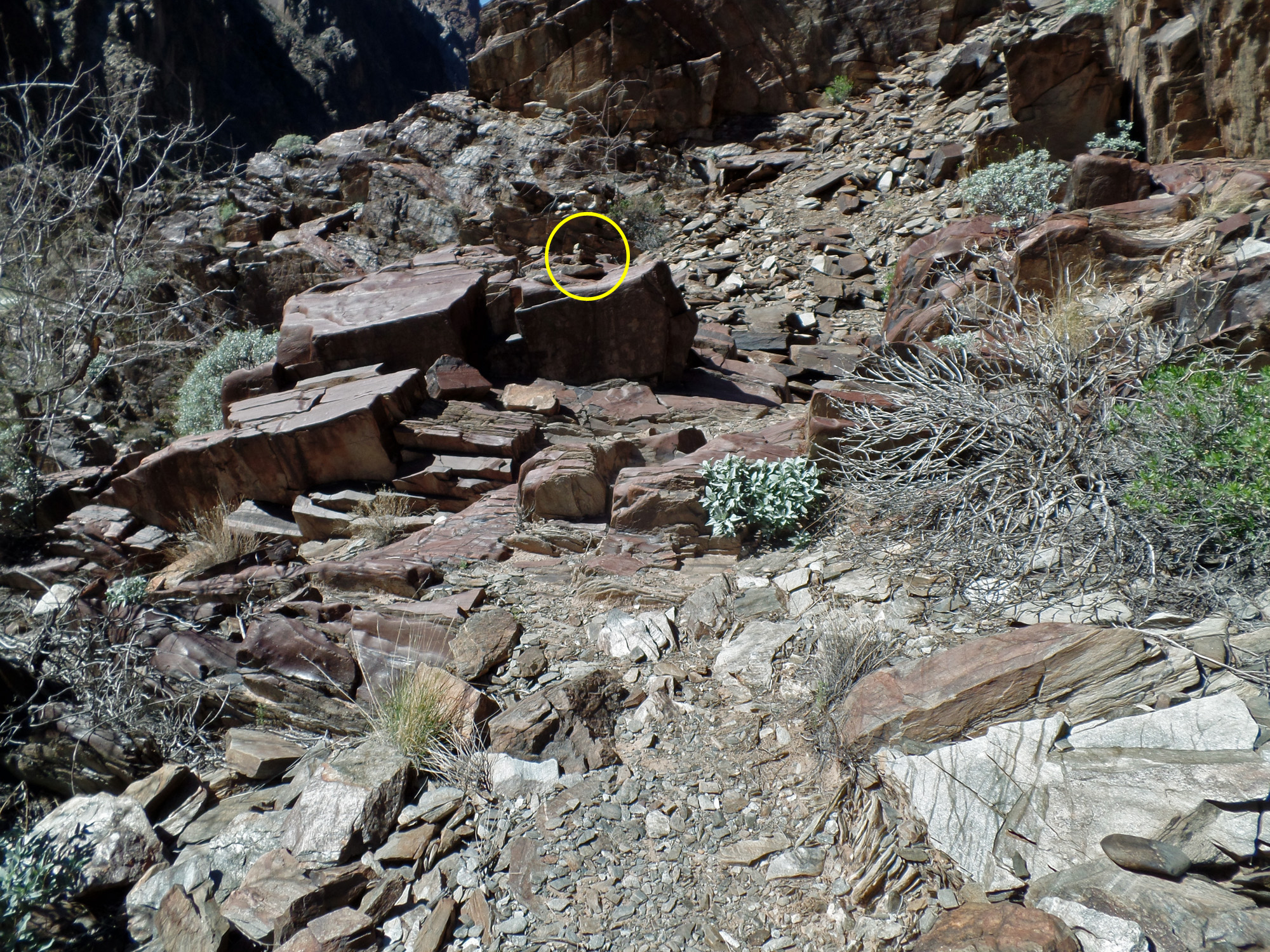
Butte, we could see down into the lower valley of Vishnu and spot the cabin.  Ah, we were so close.
     We came down into so-called "Double Disappointment" canyon (the one between Hall Butte and Dunn Butte) at the first break.  Bill had been down that way a couple of times.  I know I used it many years ago, but had since been content to continue on back into the canyon to cross above a dry fall and ascend the other side up a nice hillside.  We reached the bed at 10 a.m. and took a forty minute break.
     To exit we have to hike up the canyon a bit and then climb out through a steep ravine with lots of loose rocks and some climbing through the broken cliff.  Along the way John brushed against a cactus and so we stopped to pull needles out of his arm and shoulder.  At the last spot to climb John and I had our packs lifted up.  We reached the Tonto level at 12 noon.  To my mind, this route doesn't really save any time, and it is much harder than going further up the canyon before crossing.
     From 1 p.m. until 1:40 p.m. we broke for lunch in the shade of a big boulder.  A slight breeze here felt good and there are less bugs.  The next hour, or so, it was hot as we ground our way along the Tonto in front of Hawkins Butte.  We reached the head of 83 Mile canyon at 5:45 p.m. and camped there.  As I had seen a few years earlier, there were a couple of small water pockets here.  That was especially a lifesaver for me, as I was running quite low.  I filtered three and a half liters, which would be enough to get me to the river tomorrow.

Click on any picture to see a larger image.


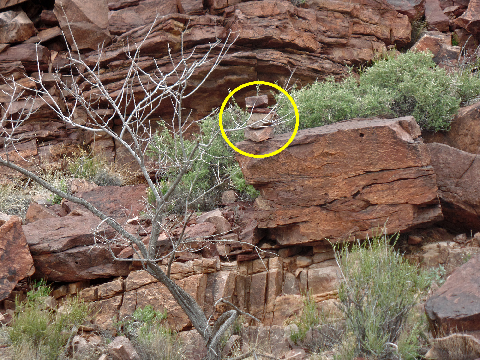
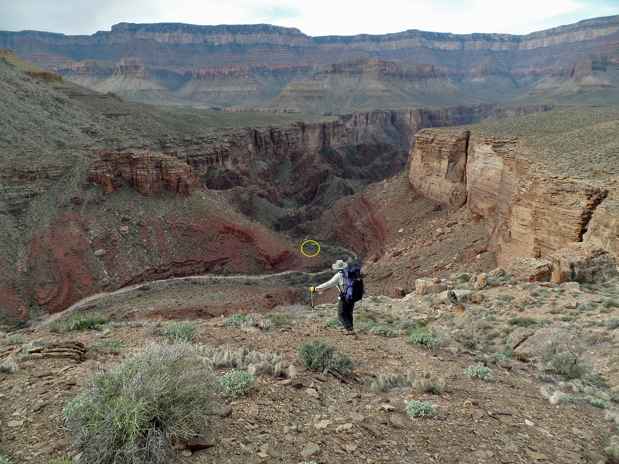
View down into Vishnu (cabin circled).

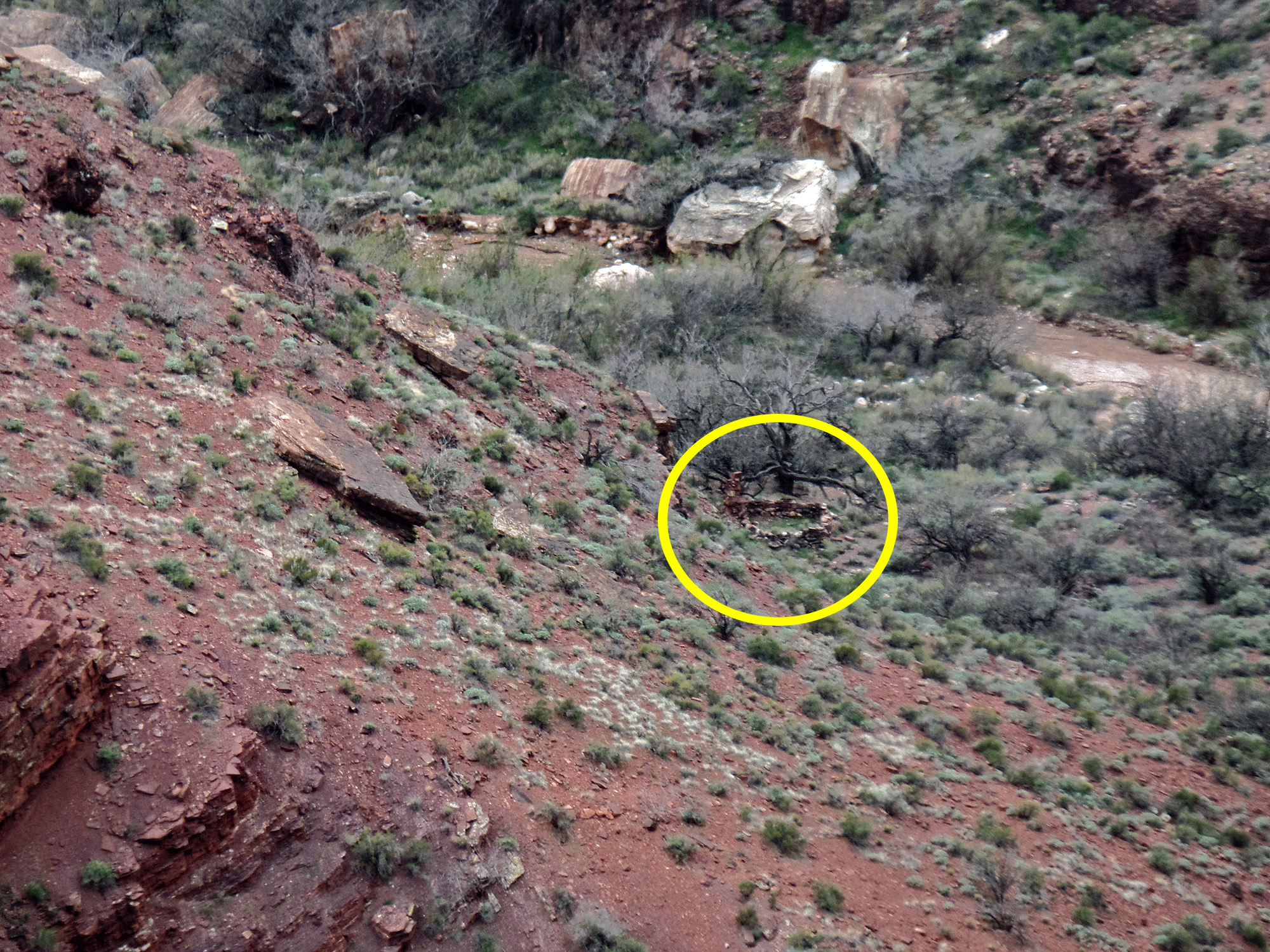
Close-up of old cabin in Vishnu.

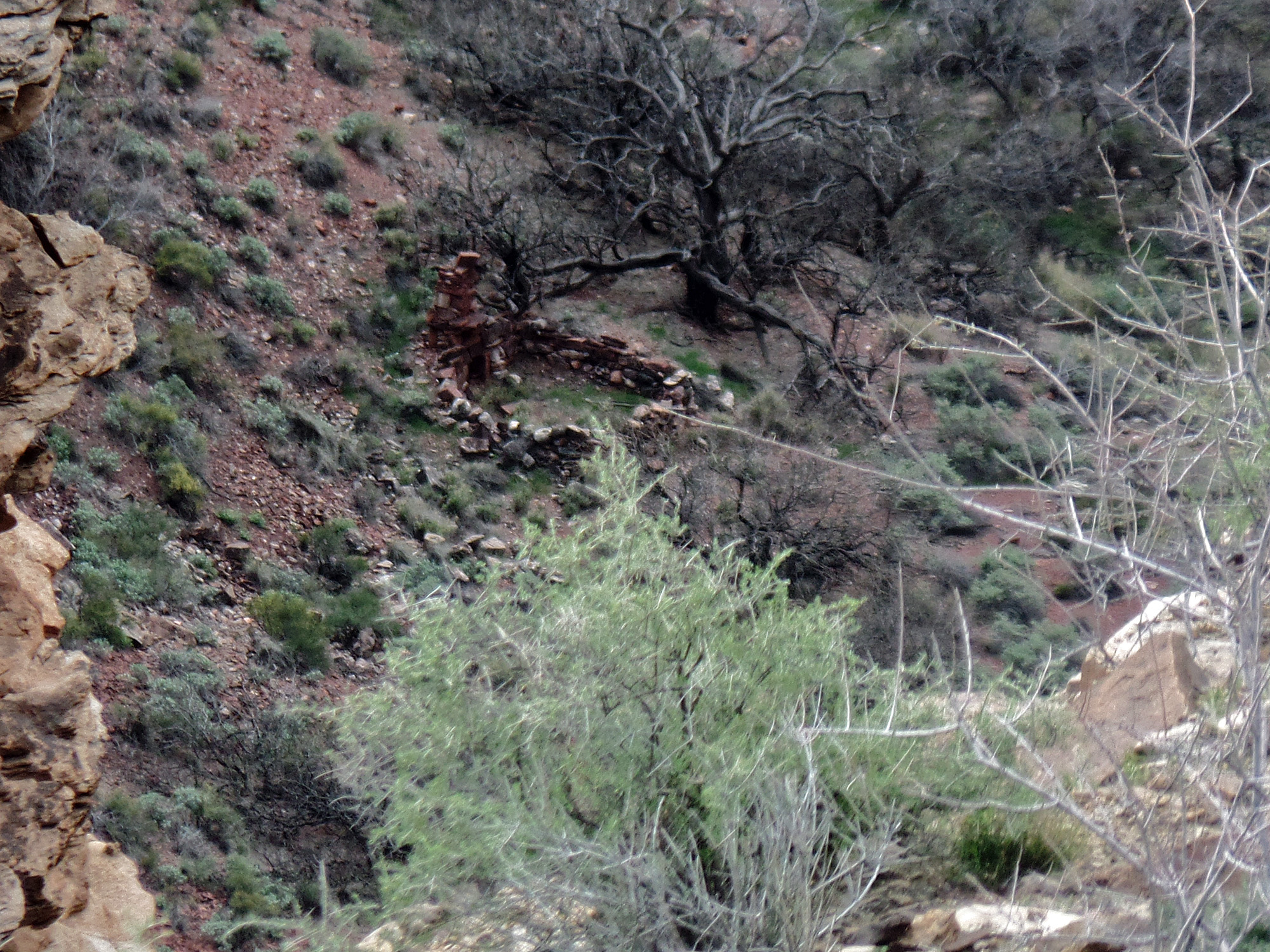
Better close-up of cabin.

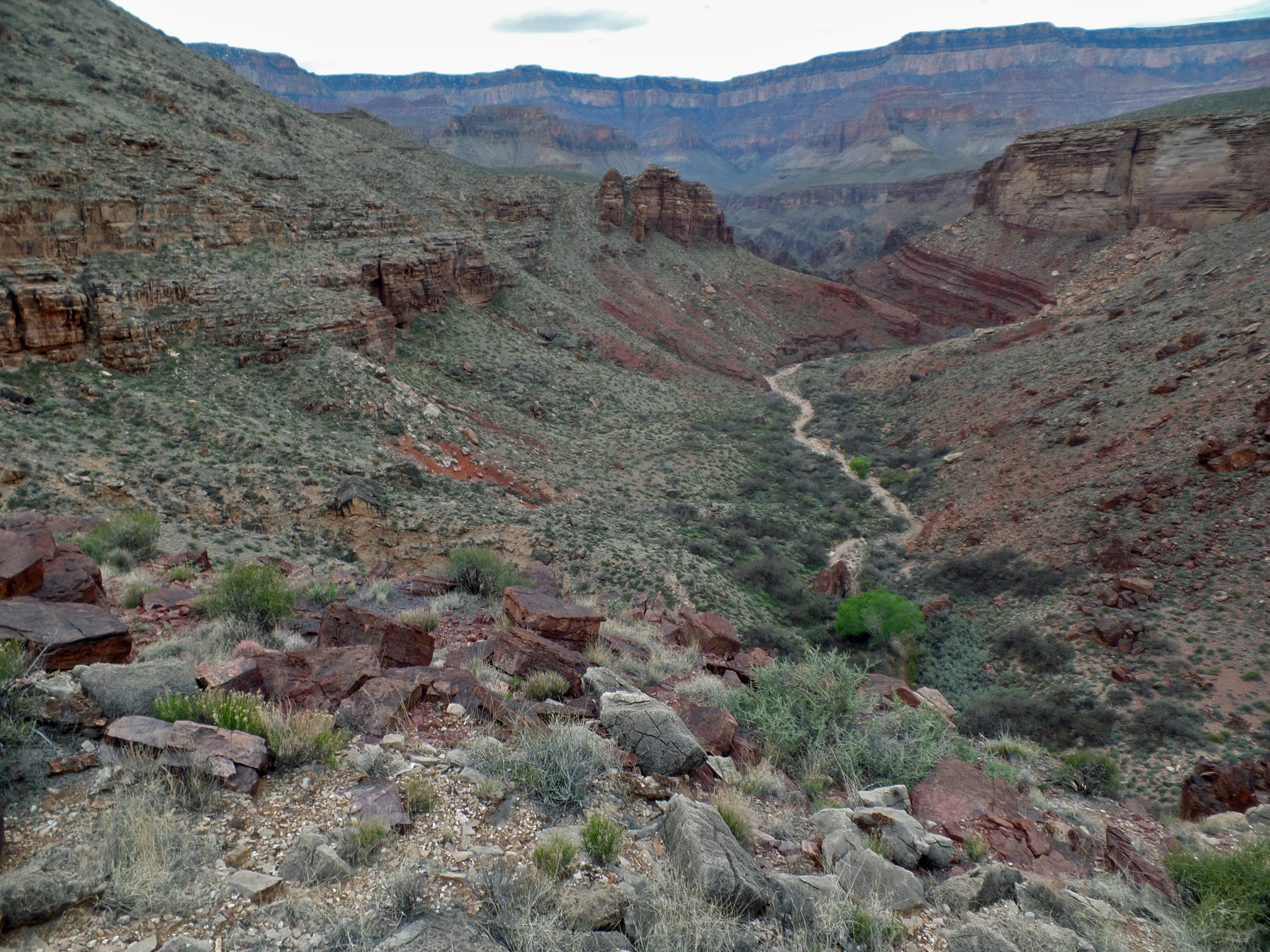
Wotans Throne over Double D canyon.
 
Walking up Double D.

View of route into Double D.

Waterfall stopper in Double D.

Cactus removal on ascent from DD.
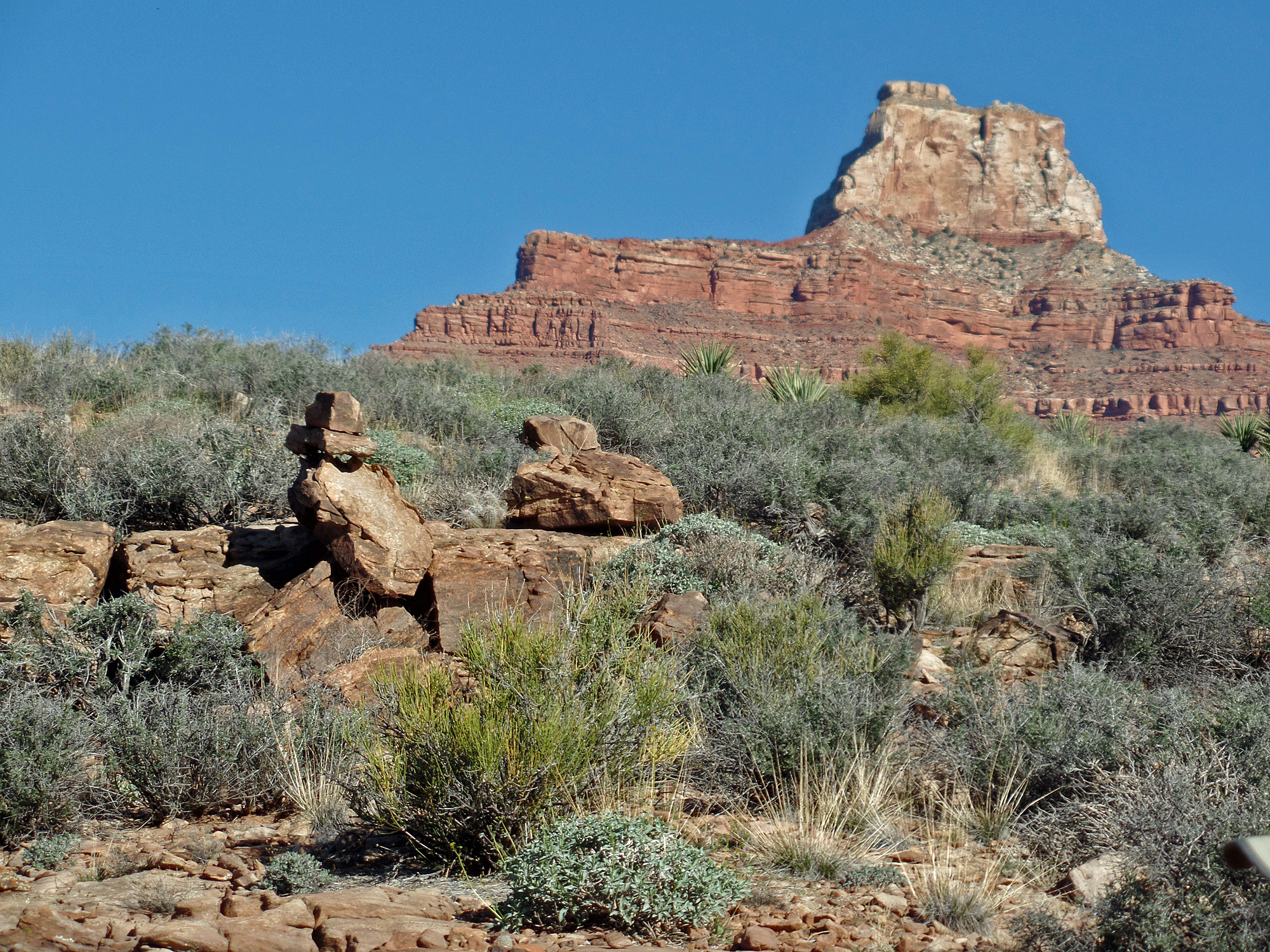
Dunn Butte.

View of south rim (Sinking Ship, et at.).
 
Zoroaster & Brahma come into view.

83 Mile, Angels Gate & 3 amigos.

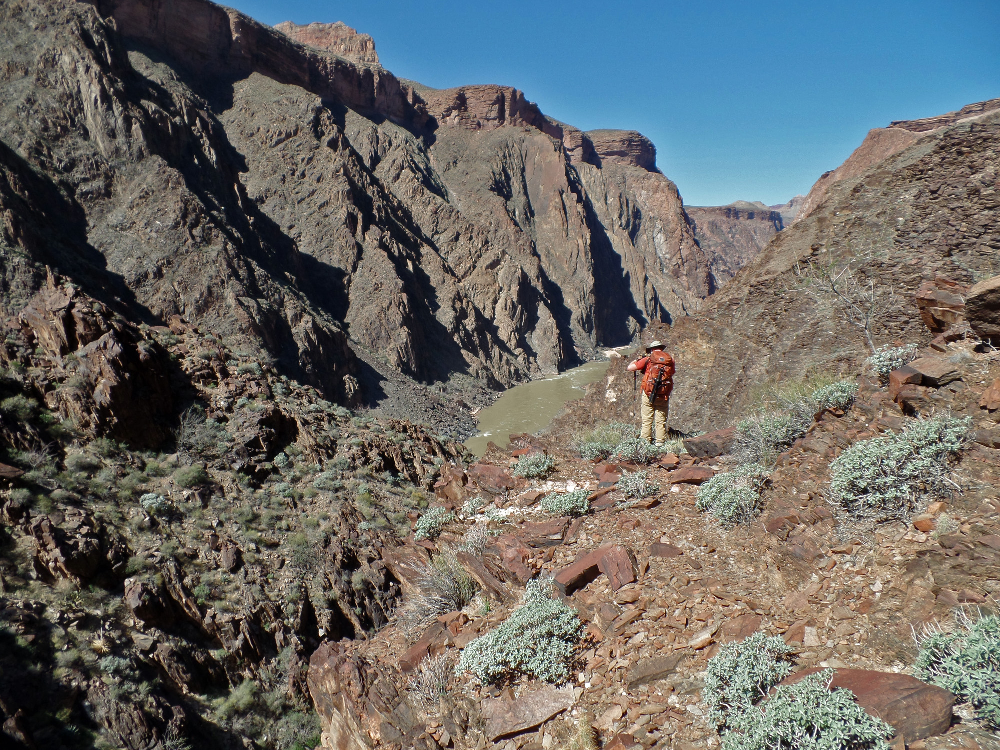
Day 7 - From 83 Mile canyon to the river and to Zoroaster ridge Friday, March 20)

     It was a bit cooler last night, but still pleasant.  Once again we were up at 4:30 a.m. and on our way at 6:45 a.m.  It only took us about 75 minutes to get to the big bay in front of The Howlands Butte, which was the start of our descent to the river.  An hour later we had located the break on the west side of this bay - there was a cairn here - and were making good progress down the steep slope.
     The wide bay funnels you into a very narrow ravine, barely wide enough for two of us to stand side-by-side.  Then, we reached a dry fall.  Looking around we found a thin shelf that took us to the next ravine to our right.  Then we seemed to repeat this process three more times!  We did finally come to a broad slope where we could spread out from one another.  But, soon enough it got steep again as we could see our final descent to the river, which we reached at 12:20 p.m.
     After a nice lunch, we were ready to leave at 1:50 p.m., just as a river party floated by and waved to us.  We are just yards from Clear Creek, but there is a big mass of schist that blocks our way, so we have to climb up quite high in order to find a way down to the creek.  Then we were just walking up the narrow creek, and unable to avoid the water.  I stopped and changed out of my boots and into my aqua shoes, which served me well.  We were penned in by sheer walls on both sides - not a place you'd want to be if it was flooding!
     At 3 p.m. we reached the "horizontal waterfall."  It is quite cool, with about half of the flow shooting straight out at this spot.  Also, it is a tricky spot to get by.  The rock surfaces on our left were smooth and steep and our shoes/boots were wet.  We took many photos here and lifted packs through this spot, having spent about an hour here.
     By 4:30 p.m. we had reached the spot where we would leave the creek and head up a very steep slope, full of loose rocks to a ridge between the the Tonto Plateau and the Zoroaster monument, which I don't think has an official name.  We loaded up with water - untreated for now - and started our assent.  I stayed to the left, eyeing a break in the cliff up at the ridgeline.  Bill angled off to the right, and while I couldn't see a good route for him to the top, it worked out fine, and better than mine.  John started off nearer to me but as we climbed he drifted over towards Bill and topped out with him.
     Climbing the last bit to the ridge was a challenge and I was surprised at the top to find myself on a knife-edge of schist instead of a flat area.  I was quite unwilling to go back down the way I had come and work my way over to where Bill and John came up.  So, I took off my pack and I gingerly explored my way over and by the knife-edge until I got to where it widened out.  I didn't like this either, but it was certainly the lesser of two evils.  So, I went back and got my pack and made it through this awful spot.  I was soon meeting up with Bill and John and as it was 6 p.m. we decided to camp here on this ridge - it was reasonably flat and wide.

Click on any picture to see a larger image.


Getting down to the river at Clear Creek.


Leaving 83 Mile camp.

The Howlands Butte.

Cairn marks descent to the river!

Bill starts down through Tapeats.
 
Bill & John descend into bay.

View back to our route from the rim.

The route narrows!
 
Bypasses to steep slopes on the right.

Bill pauses at small saddle.


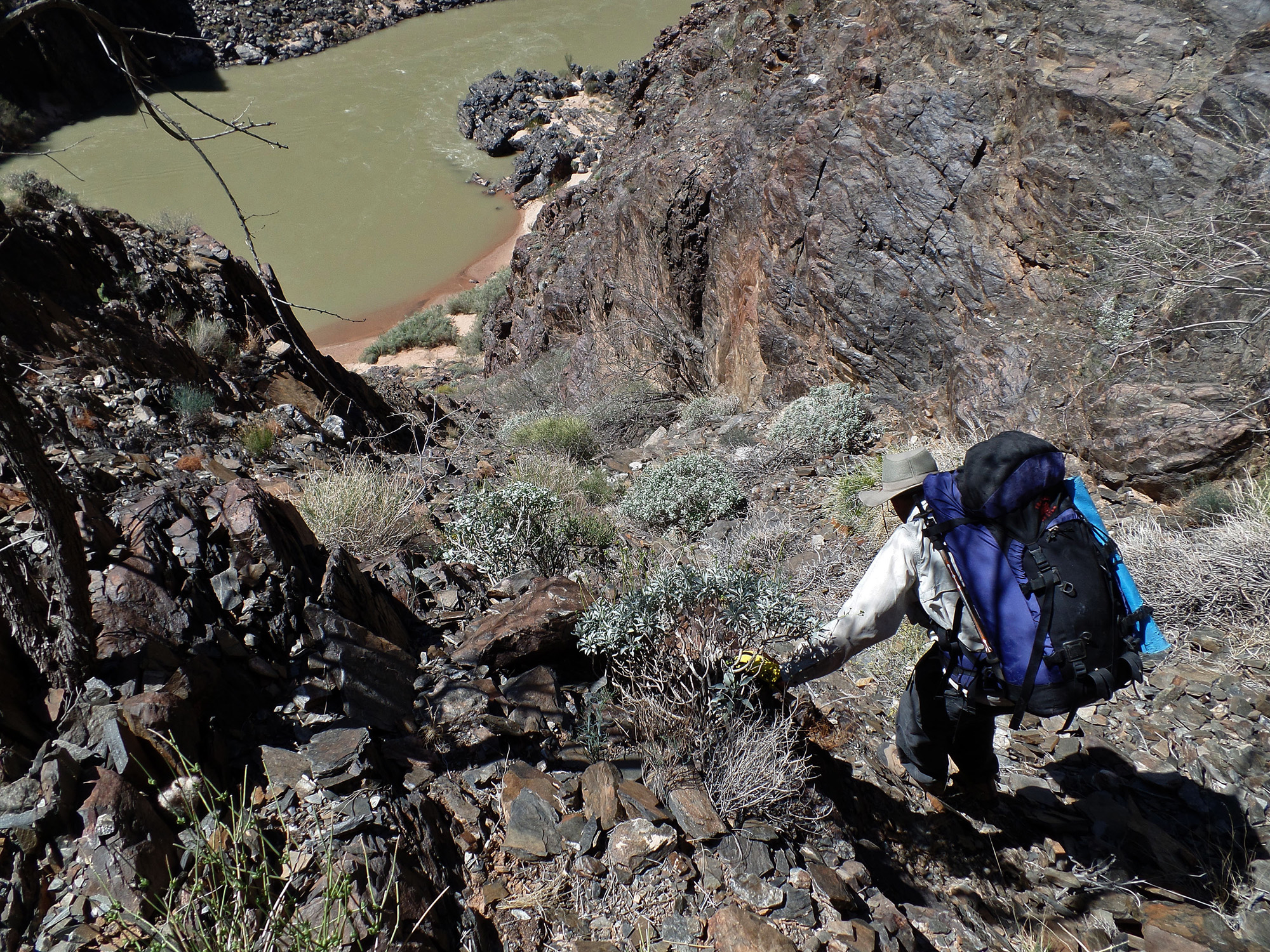
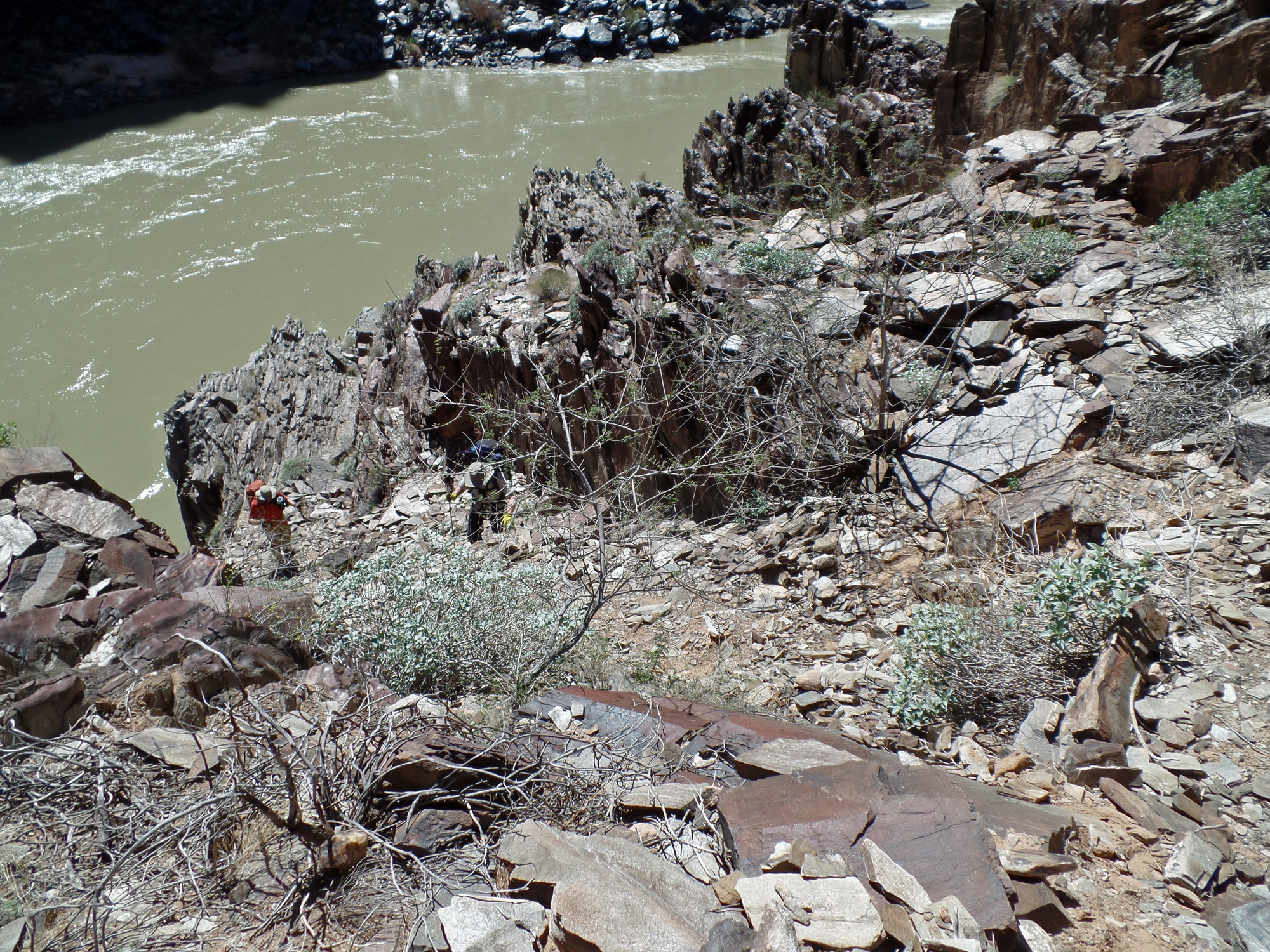
John comes down a relatively easy part of this grueling descent to the river from the Tonto Plateau.  Along the way he would slip on a rock, aggravating his still sore shoulder.

Bill disappears over the edge.

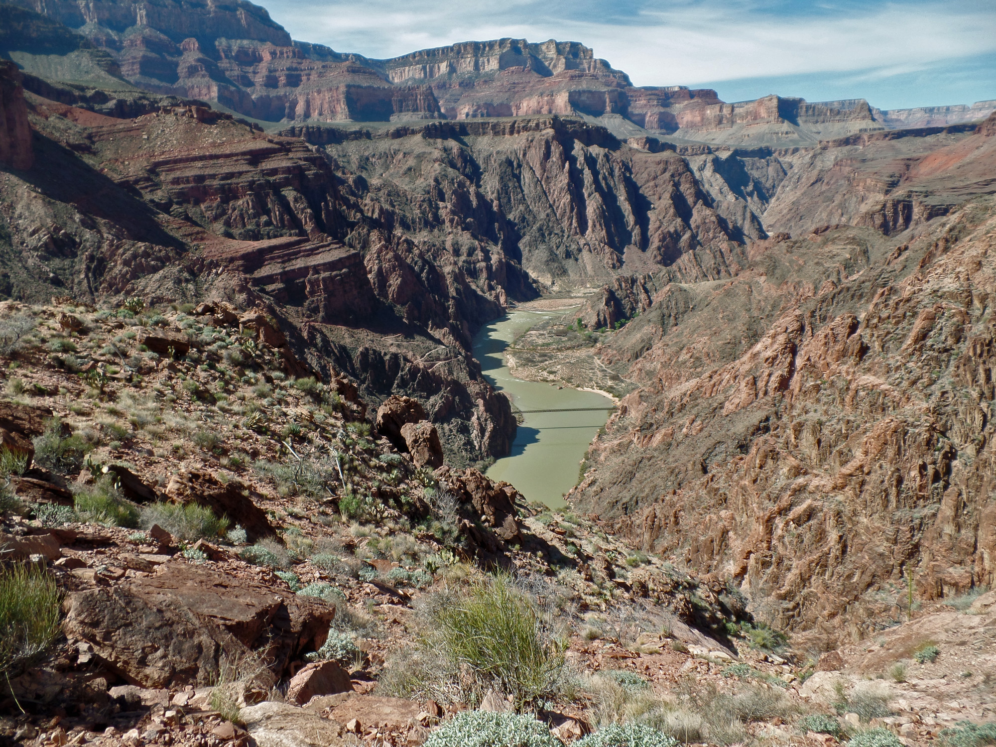
Final stretch to the river!
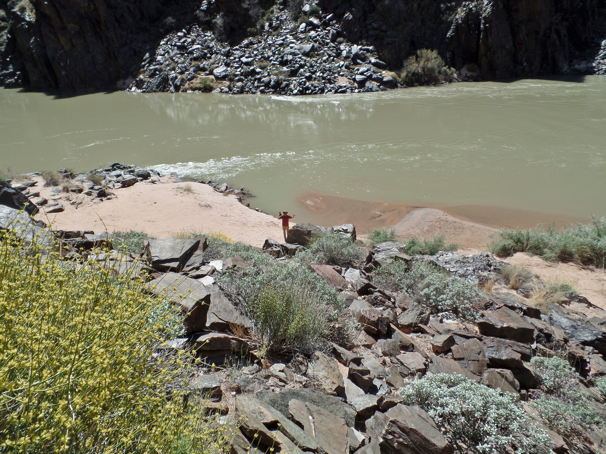
 
Bill at the river!

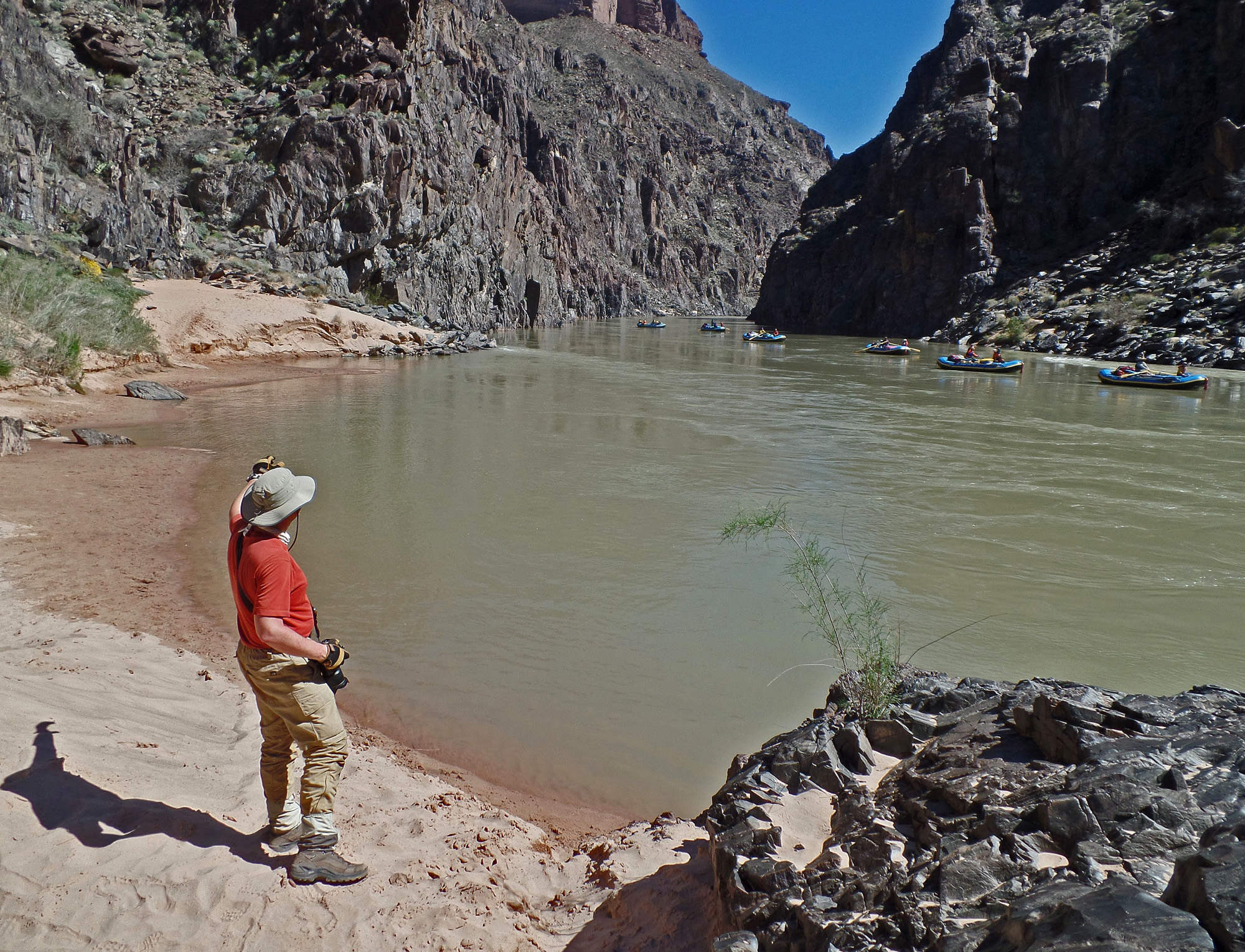
Just in time for a passing river party.


Getting from the river at Clear Creek to camp on the Zoroaster ridge.


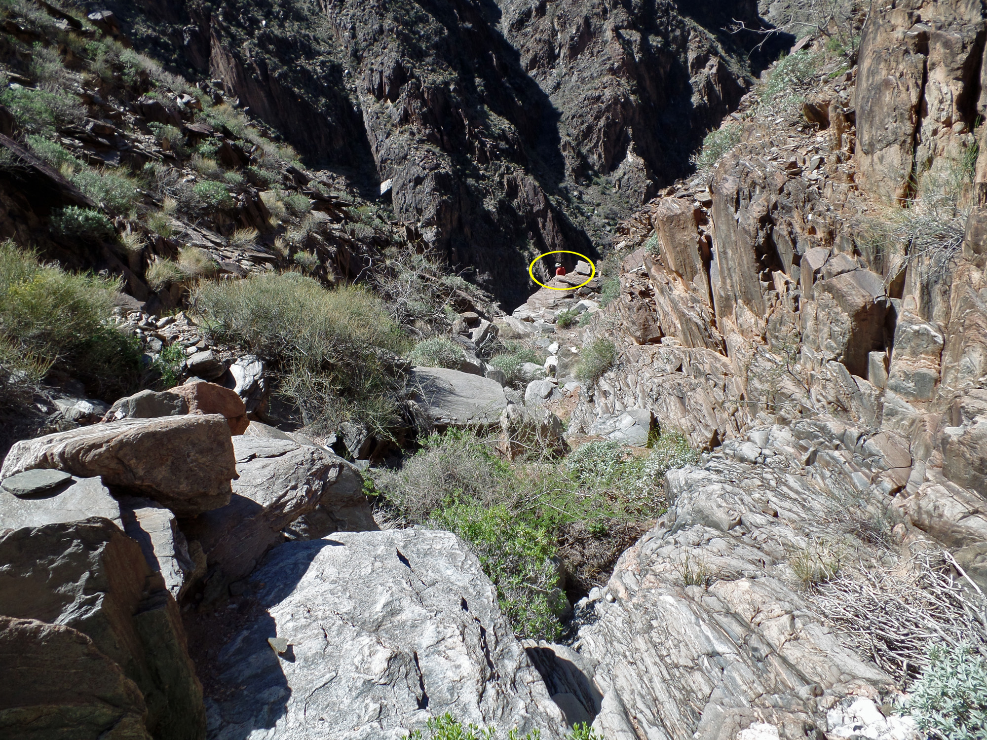
Cairn leads us to the creek.

Up the schist to hop over to the creek.

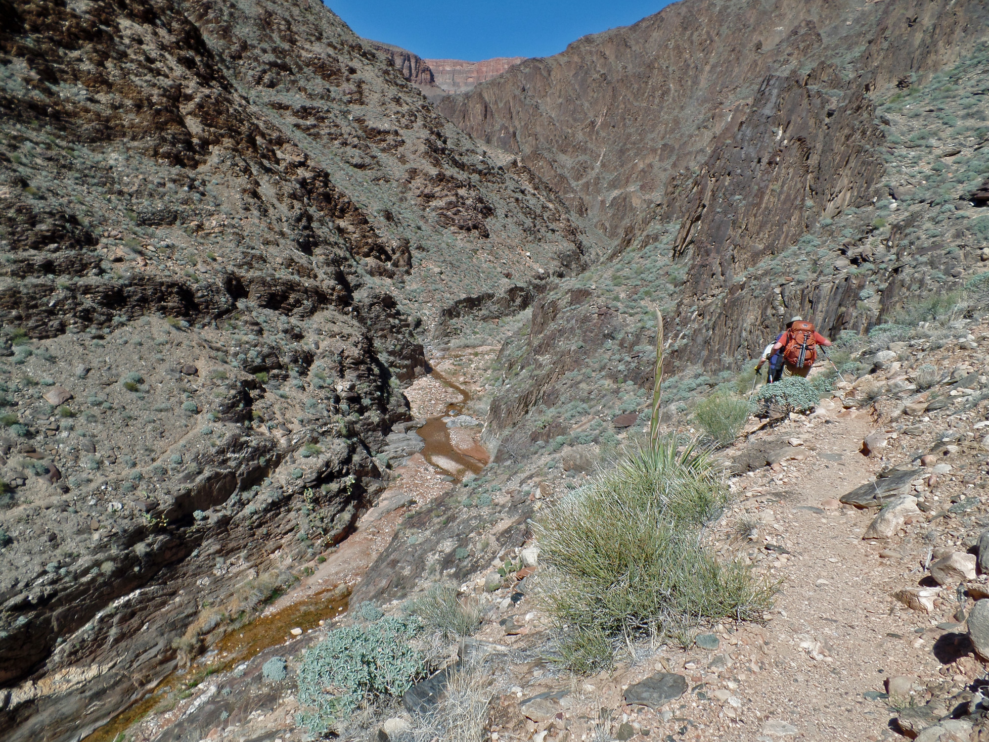
Clear Creek - note trail on west side.

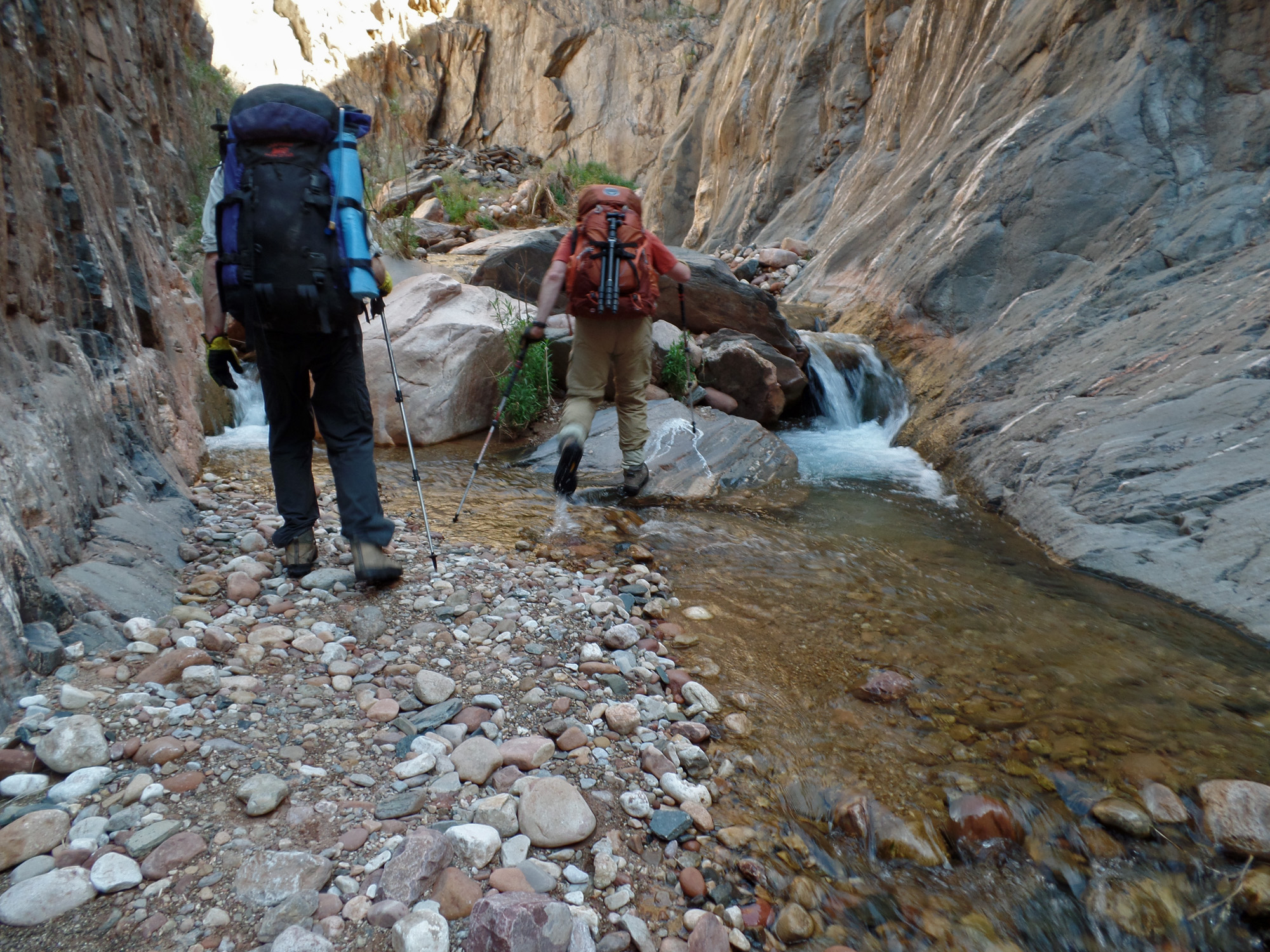
Some tricky spots going up the creek.
 
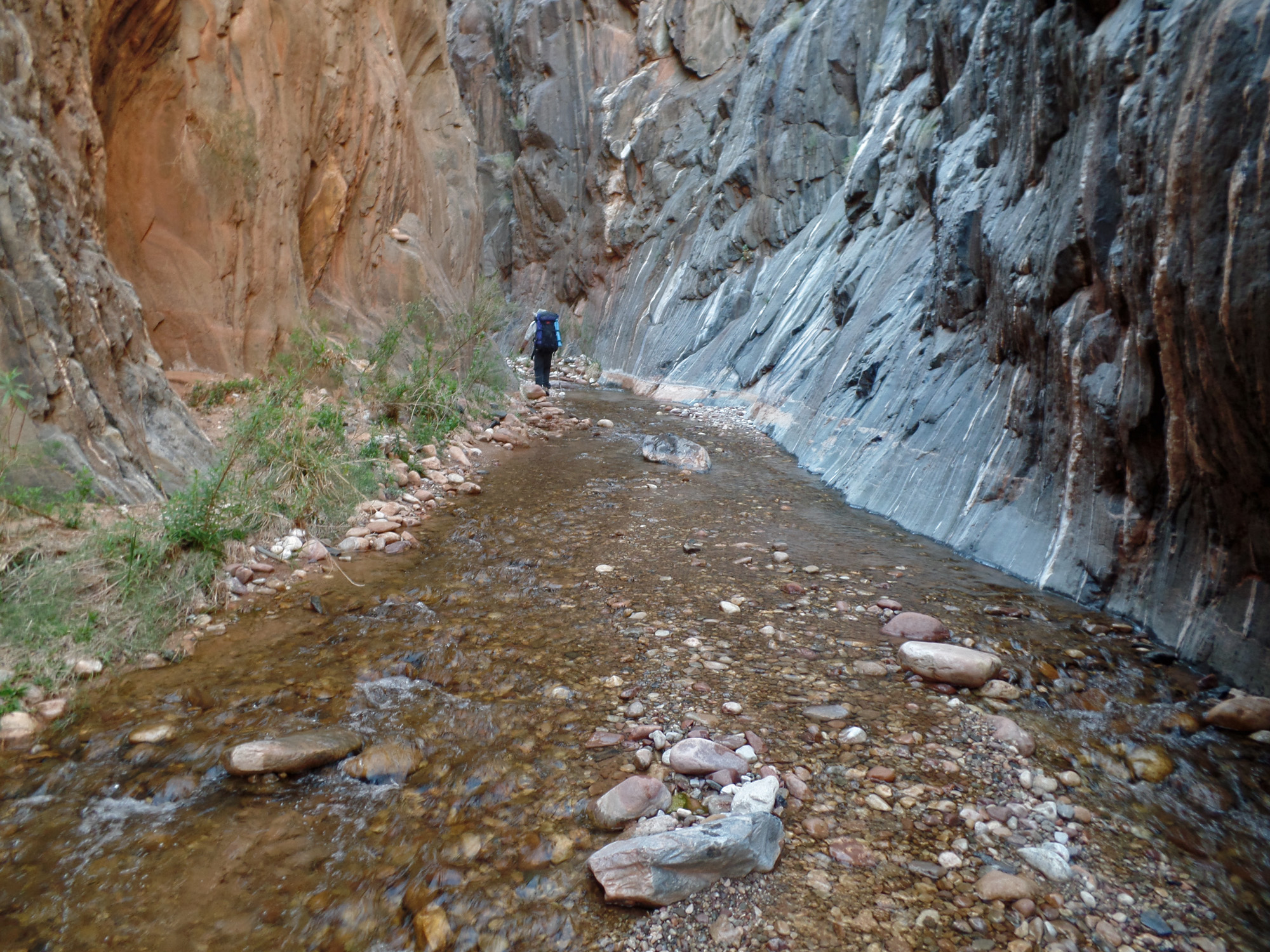
Very narrow creekbed.

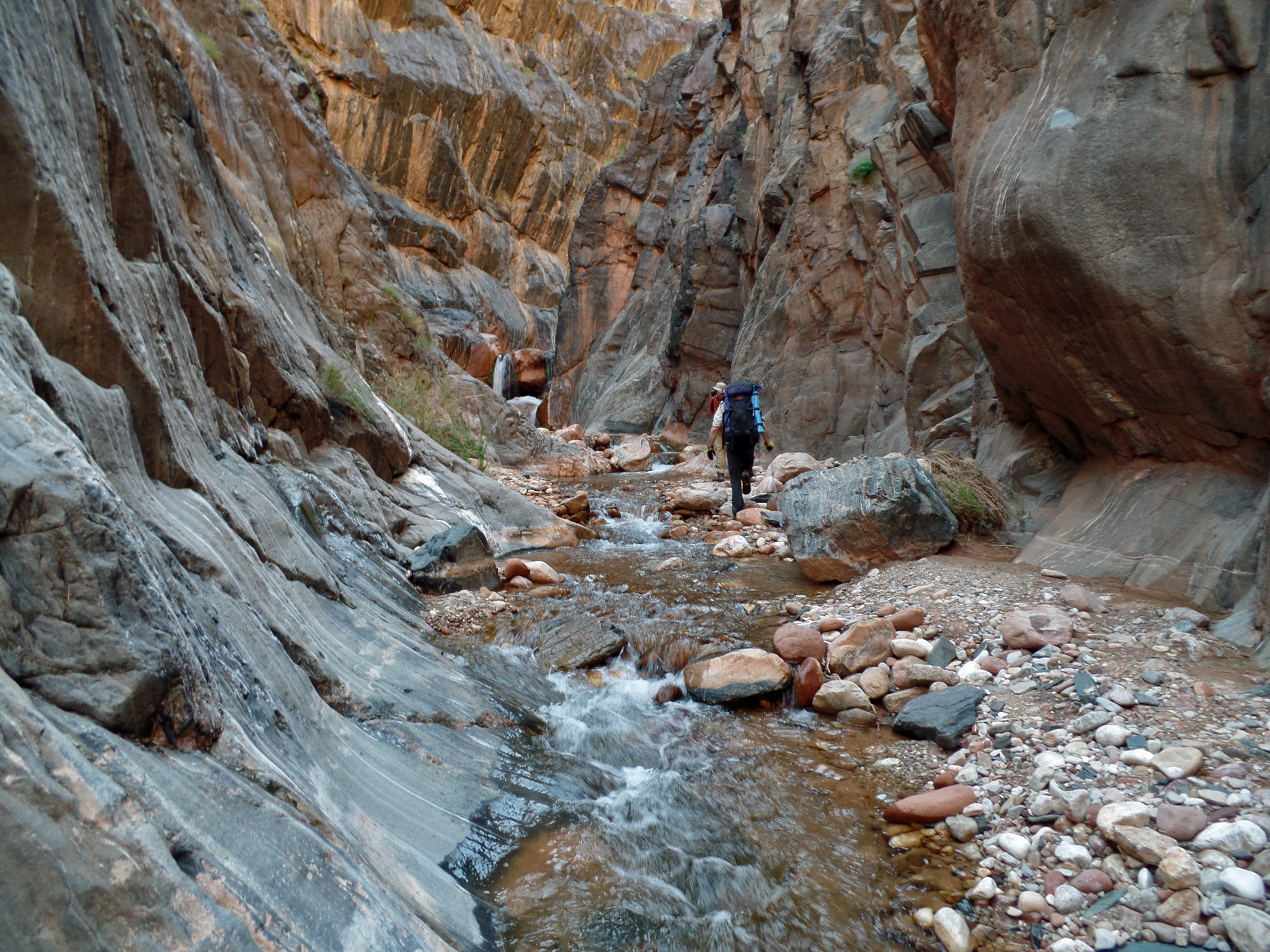
Approaching the horizontal waterfall.


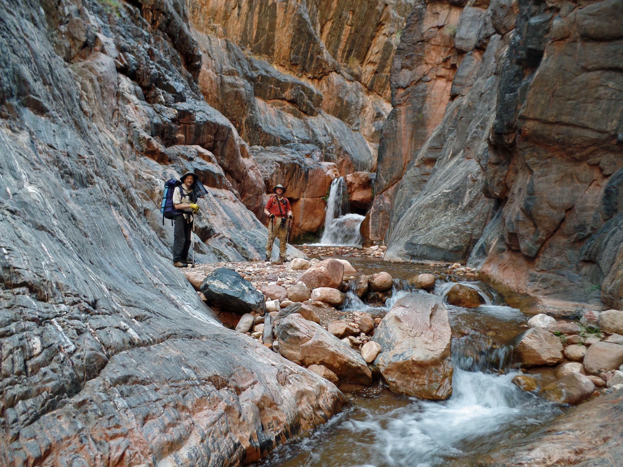
John & Bill and route over waterfall.

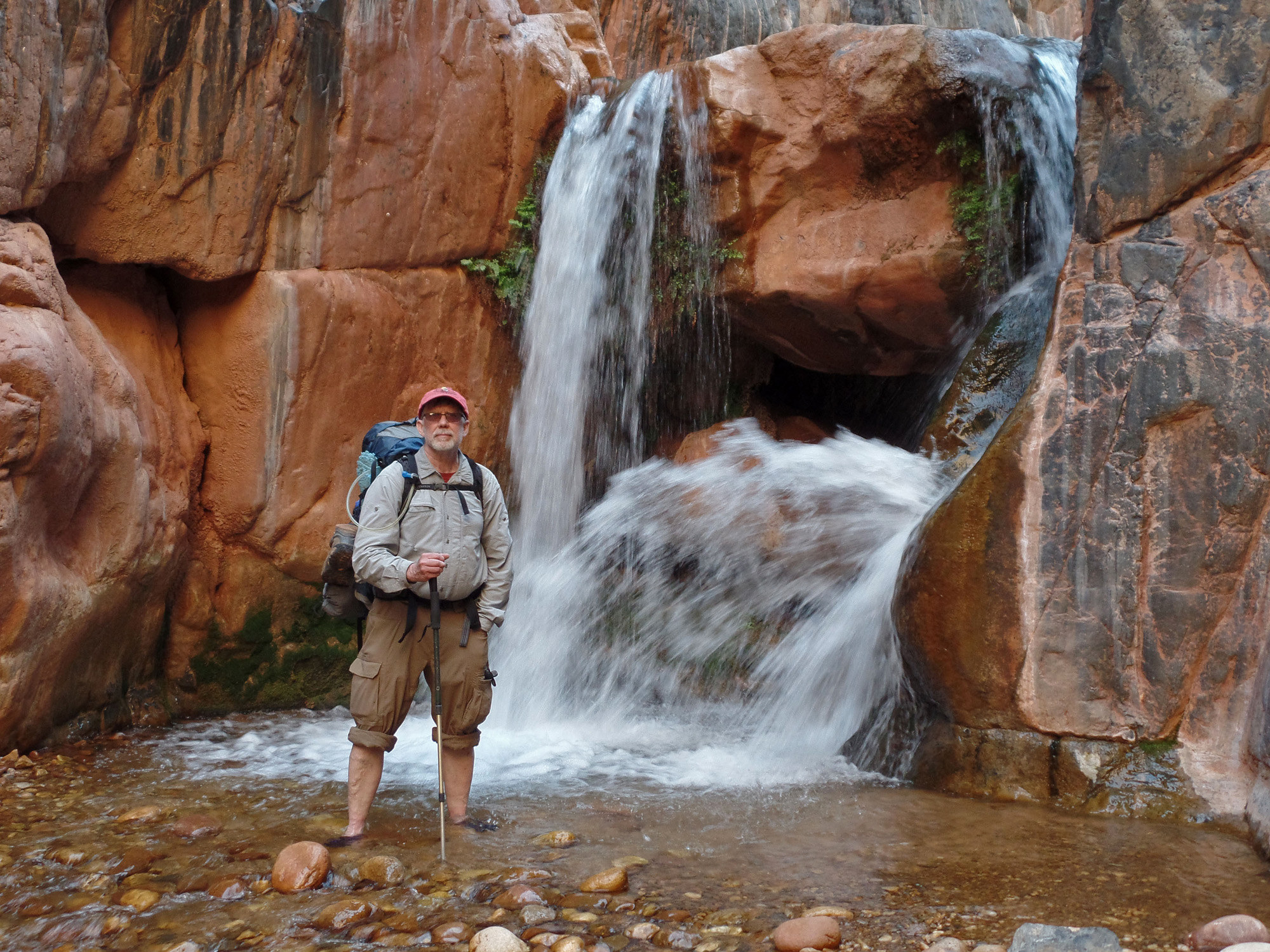
We all got pics here!

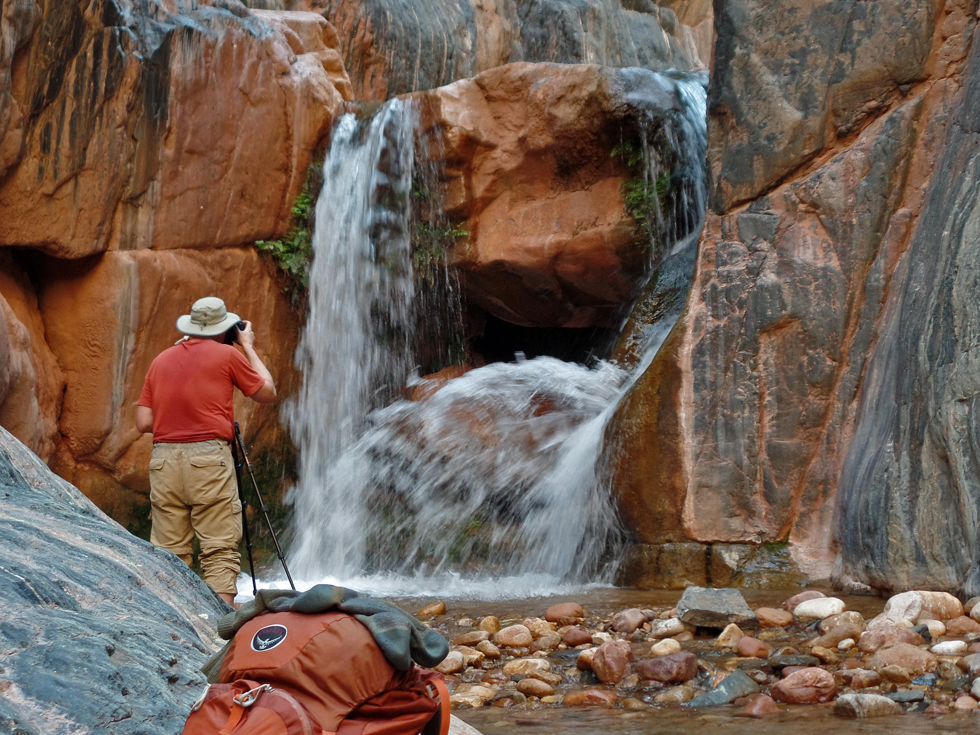
Bill shoots the waterfall.

The steep climb to Zoroaster ridge.
 
Precarious landing for me!

With John & Bill on broad terrace.

Day 8 - From the Zoroaster ridge to Clear Creek Trail to Phantom and up the South Kaibab Trail (Sat., March 21)

     Once again we are up at about 4:30 a.m. and on our way at 6:45 a.m.  While the "proper" route here is to go into and through Zoroaster canyon, that looked more than a little sketchy and we could see an easy route to our right up to the Tonto level.  But, this will keep us on the wrong side of this canyon - to the north - and while it only took 45 minutes to reach the Tonto, it took another half hour to hike back to where we could pick up the Clear Creek Trail.  After a forty minute break, we were on our way, happy to be on a real trail.
     Two hours later, at 10:50 a.m., we began our descent off the plateau and onto the contour below the Tapeats.  We reached Phantom Ranch at just a few minutes past noon.  We took a long break here and left at 1:40 p.m.
     At the black bridge, we had to wait for a mule trail to cross.  I can't remember ever having been here at the same time as the mules when crossing.  While waiting I was able to spy out where the old bridge used to be anchored - right below the current bridge.  I've heard that one can actually reach this spot along a narrow shelf below the current trail and tunnel.  Someday.
     It was hot hiking up the trail, but plenty of shady spots.  We took a long break at "Big Shady."  We reached the top of the Redwall at 4:45 p.m. and Cedar Ridge an hour later.  We were a bit concerned about not reaching the trailhead before the last shuttle bus came by, so Bill, who was hiking very well, went ahead of us so that he could bring my truck to the trailhead and pick up John and me.
     John and I got to the rim at 7 p.m.  John took the opportunity of changing while we waited for Bill to return.  Then, we went back to the Visitor's Center so Bill and I could change.  The facilities there were just awful, but what can you do?  Then we were off to Tusayan and dinner at Plaza Bonita.  After dropping off John and Bill at their homes in Flagstaff, I got home at 11 p.m.  It had been a long day!

Click on any picture to see a larger image.


Breaking camp at first light.

Zoroaster monument.

Up to the Tapeats.

Looking back at Zoroaster ridge.
 
Contouring below the Tapeats.

Our exit up the cliffs to the northeast.
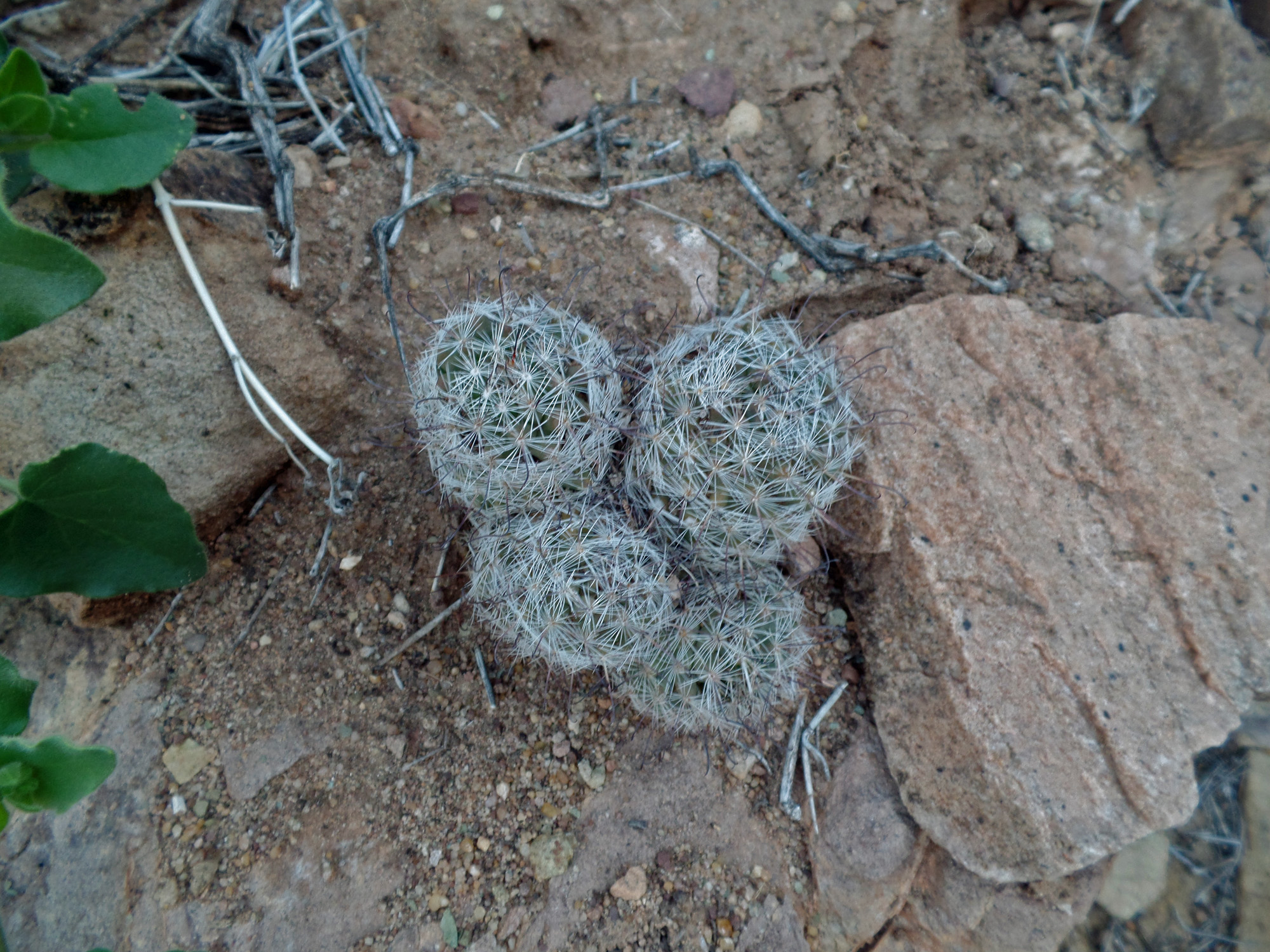

Cactus.

Zoroaster as we reached the trail.

Bridges from the CC trail.

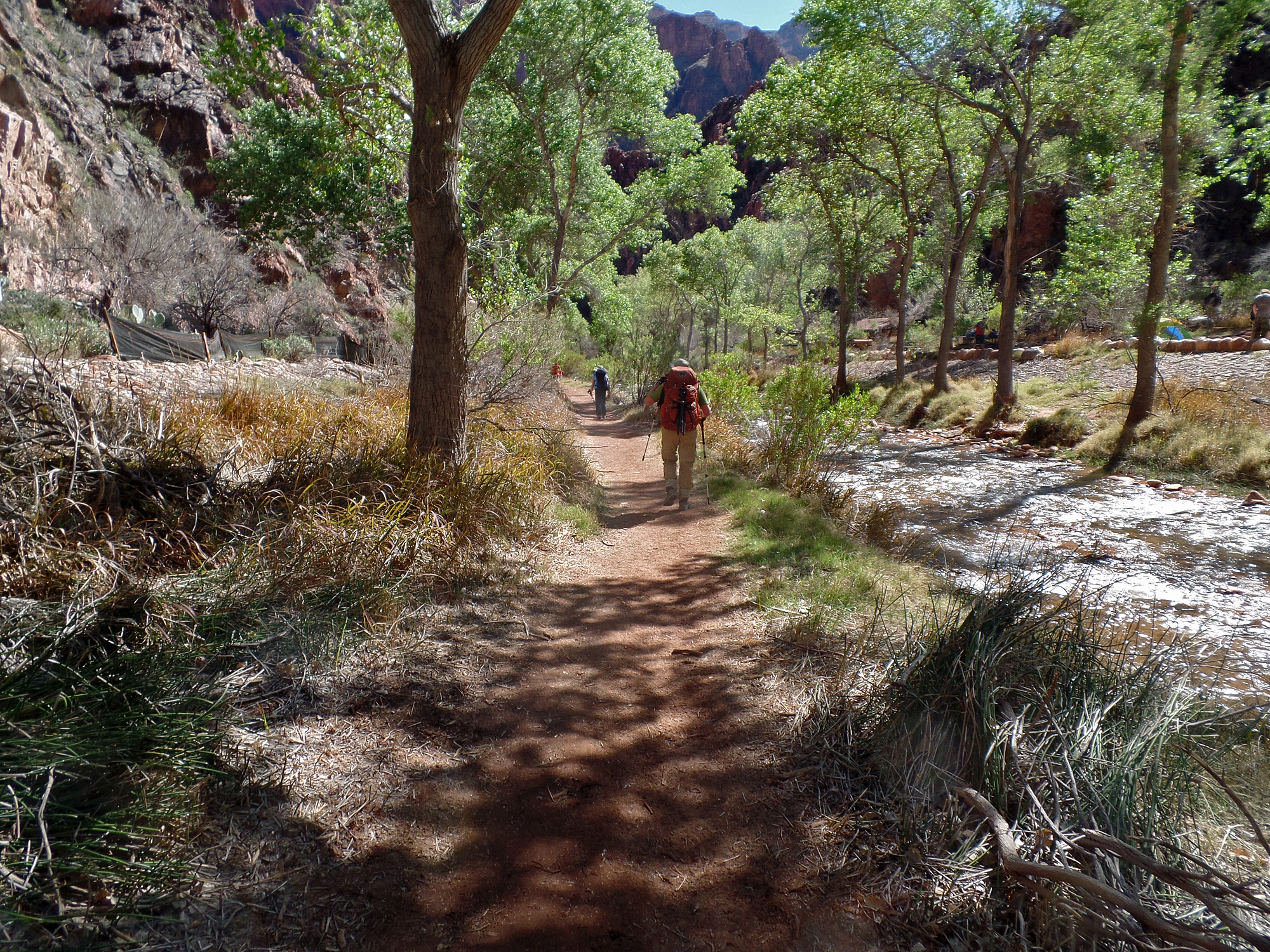
Shady campground area.
 
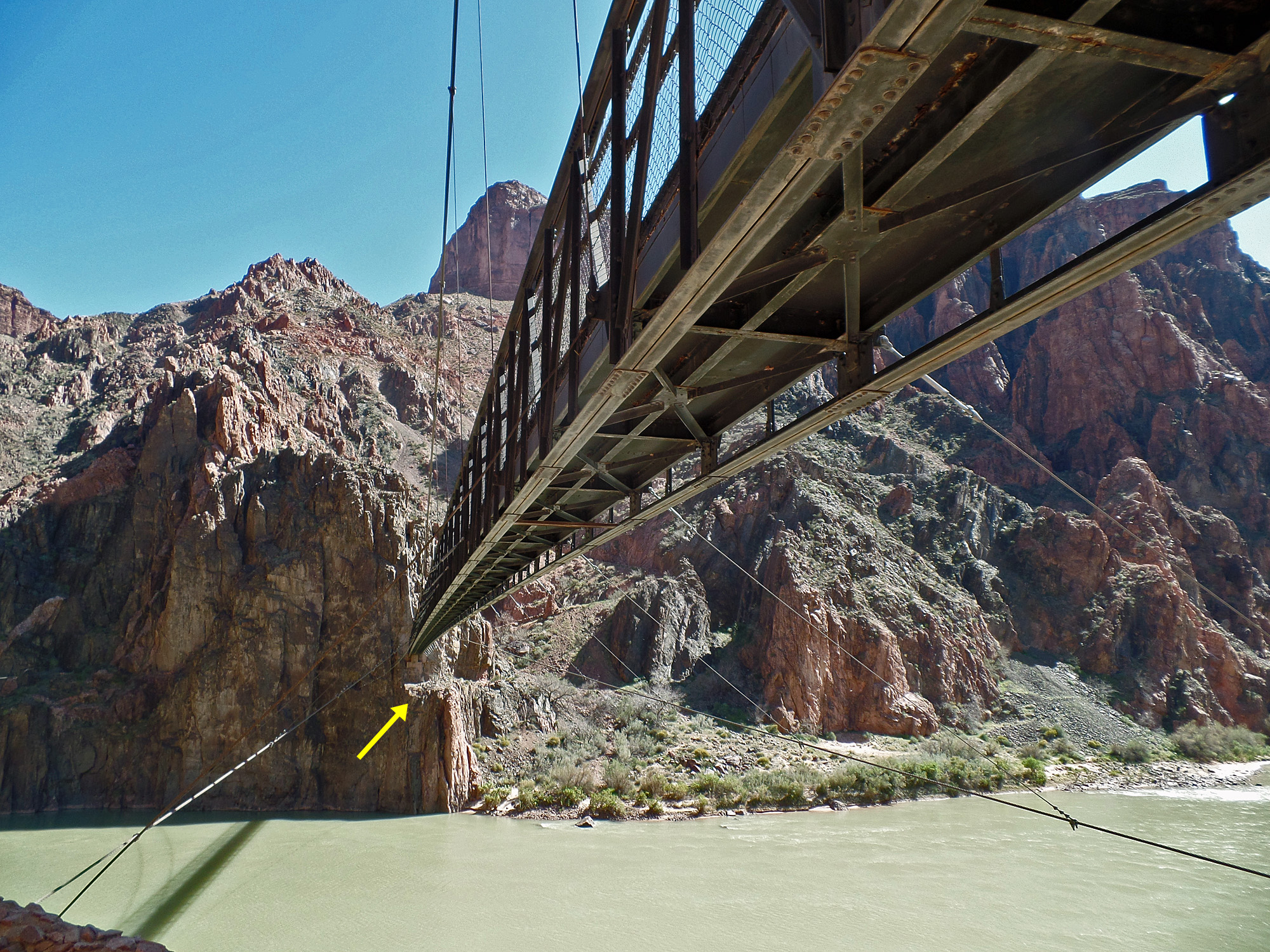
Black bridge - old bridge site shown.

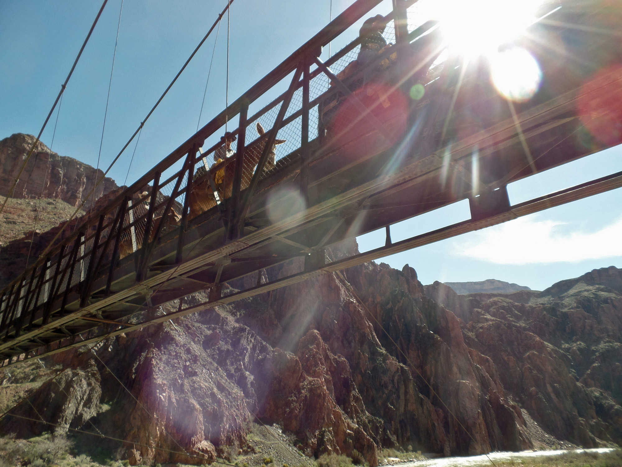
Mule riders cross the black bridge.

     Despite our being unable to get to Asbestos, and my inability to remember where the cabin was in Vishnu, this was still a great hike.  Doing the high saddles route from Clear Creek to Vishnu for the second time was quite satisfying.  The highlight was the hike down to the river at Clear Creek and then the hike out past the horizontal waterfall and up via the Zoroaster ridge.  Those were all firsts for me.
     At home, I weighed in at 177 lbs., about ten below my starting weight.  The pack weighed 35 lbs., which included a bit less than two liters of water.

Return to Hiking Grand Canyon home page

dfoster@kaibabjournal.com