|
As a general rule, my hikes between
Hermit and Indian Garden have been day hikes. There have been only
two exceptions - in 1980 I did this same trip with one overnight at
Monument; in 2010 I did a three night trek the other direction which was
the first hike I did following knee surgery in the summer of 2009. This hike wouldn't seem especially noteworthy for a trip
report, but there were some interesting historic sites that were visited
along the way,
Day 1 - From the Hermit Trailhead to Monument Creek (Saturday, September 29):
We were up around 4 a.m., packed up, ate a cold breakfast and drove
in and parked in front of the Bright Angel Lodge. We caught the
first bus to Hermit's Rest while it was still quite dark. Only a
few others on the bus - tourists wanting to see the sunrise, but they
were way too early for that and should have waited for the next bus.
They got out at Hopi Point I think. I am also thinking that some
tourists got out at Pima Point. Regardless, John and I were the
only ones to get out at the end of the line and so we had no qualms
about searching around for the route down to the old overlook. |
|
|
||
|
Click on any picture to see a larger image. |
||
|
|
||
|
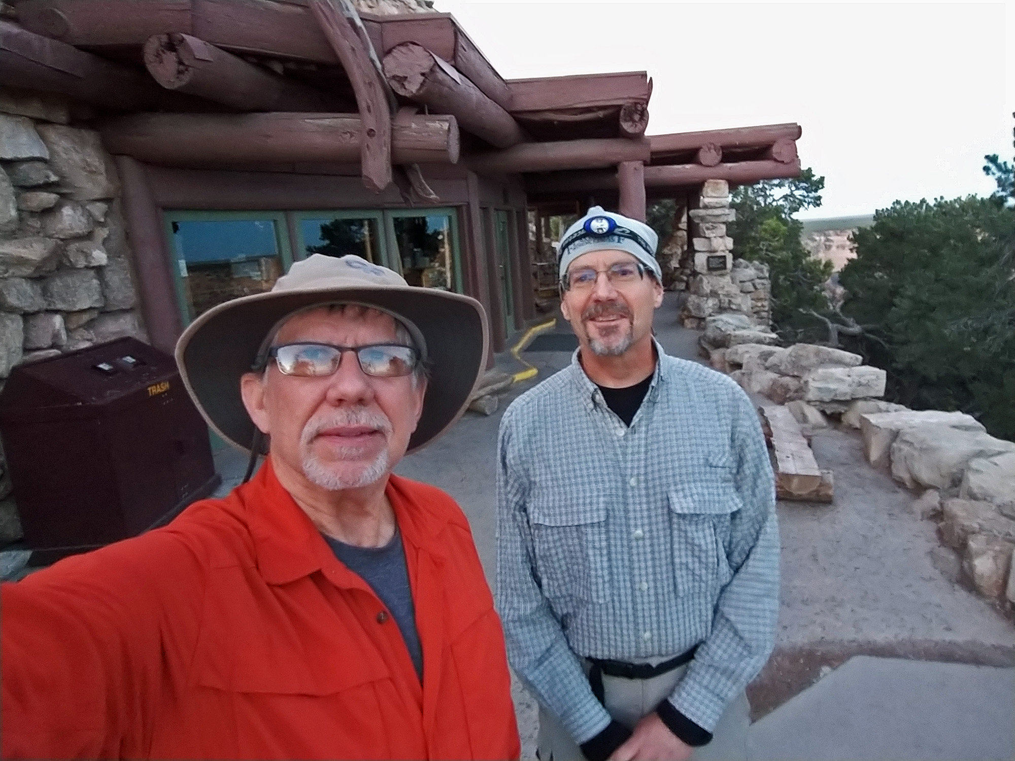
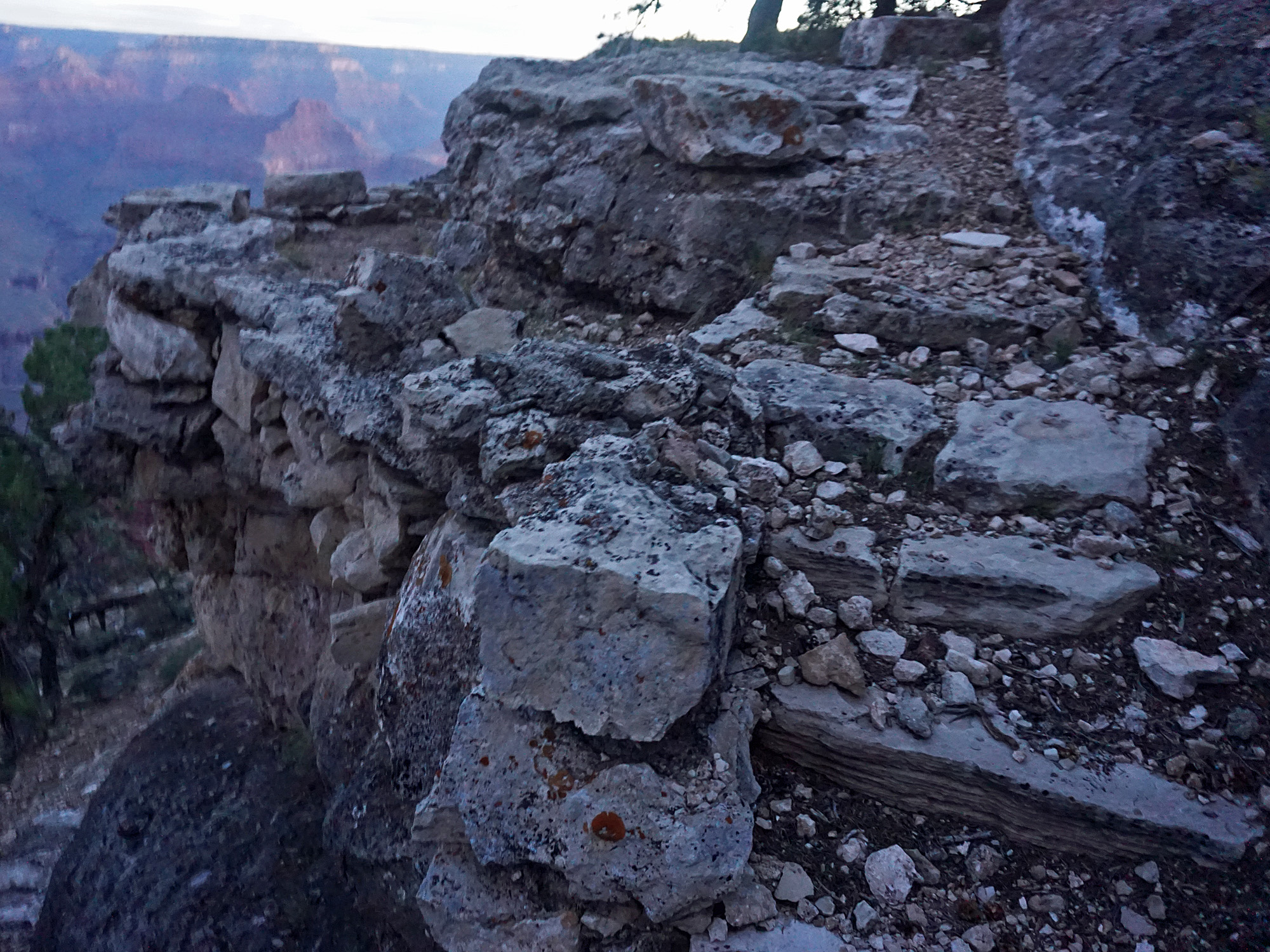
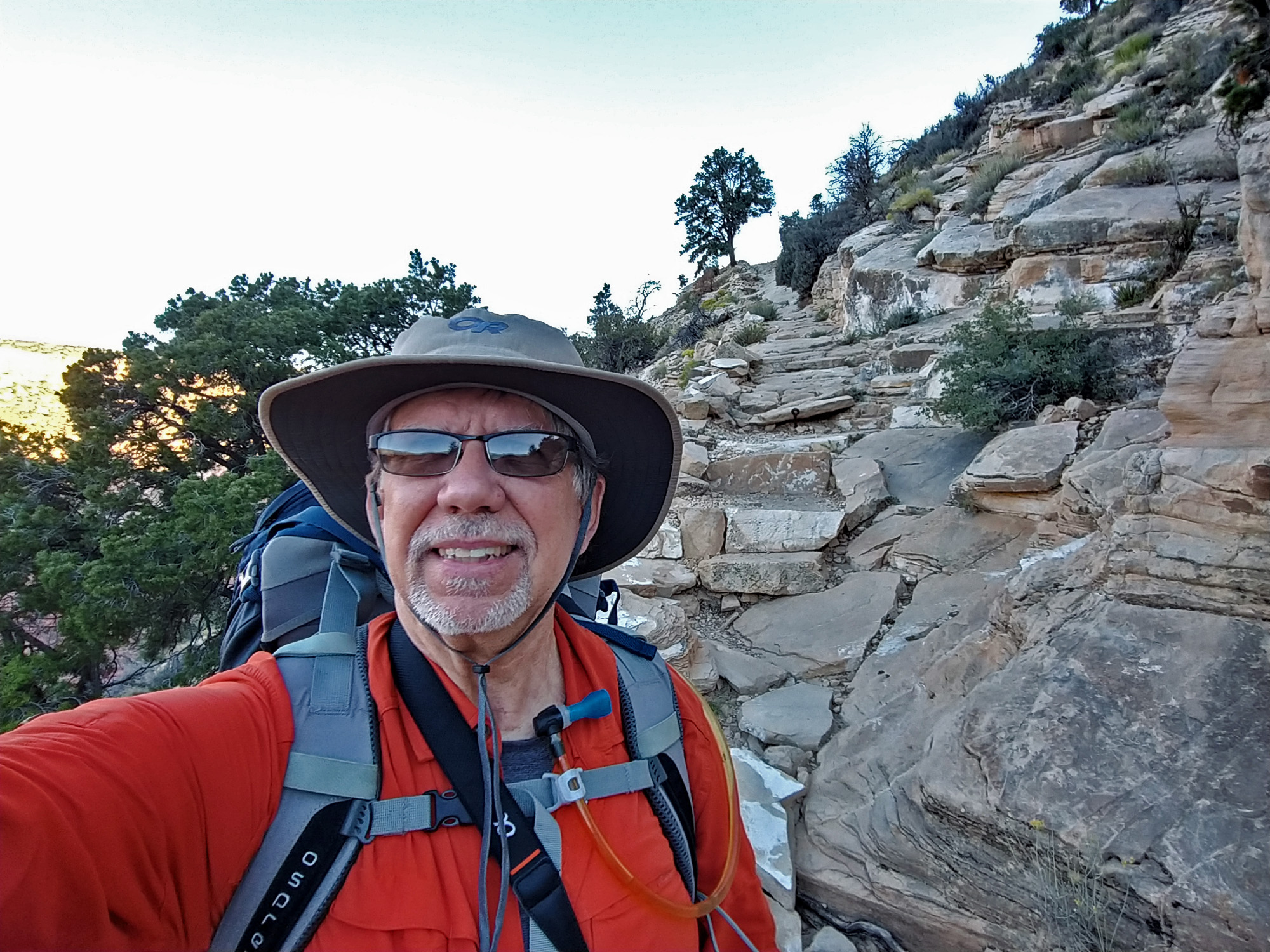
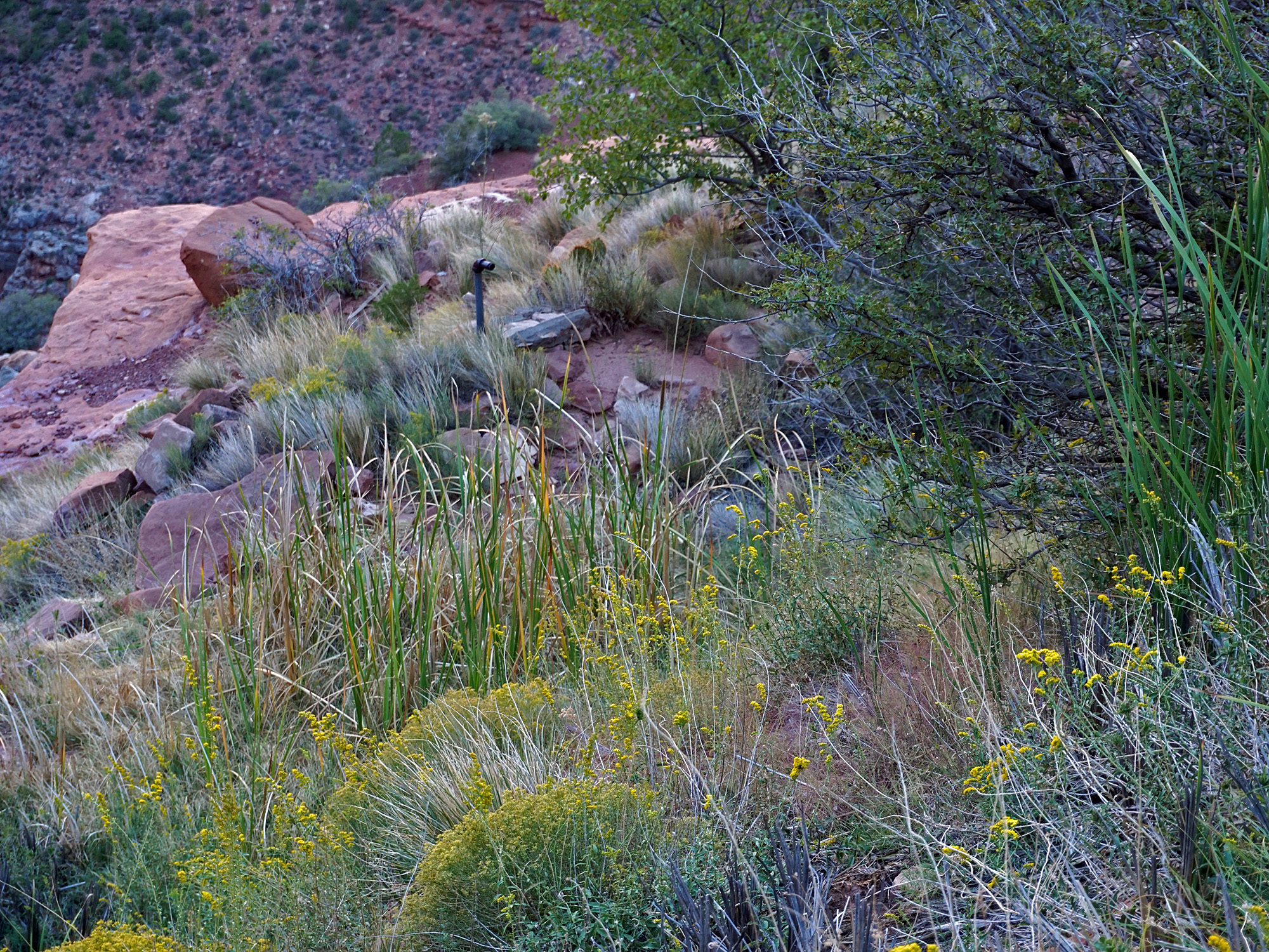
On the rim and at the old, abandoned Hermit Rest overlook. |
||
|
|
||
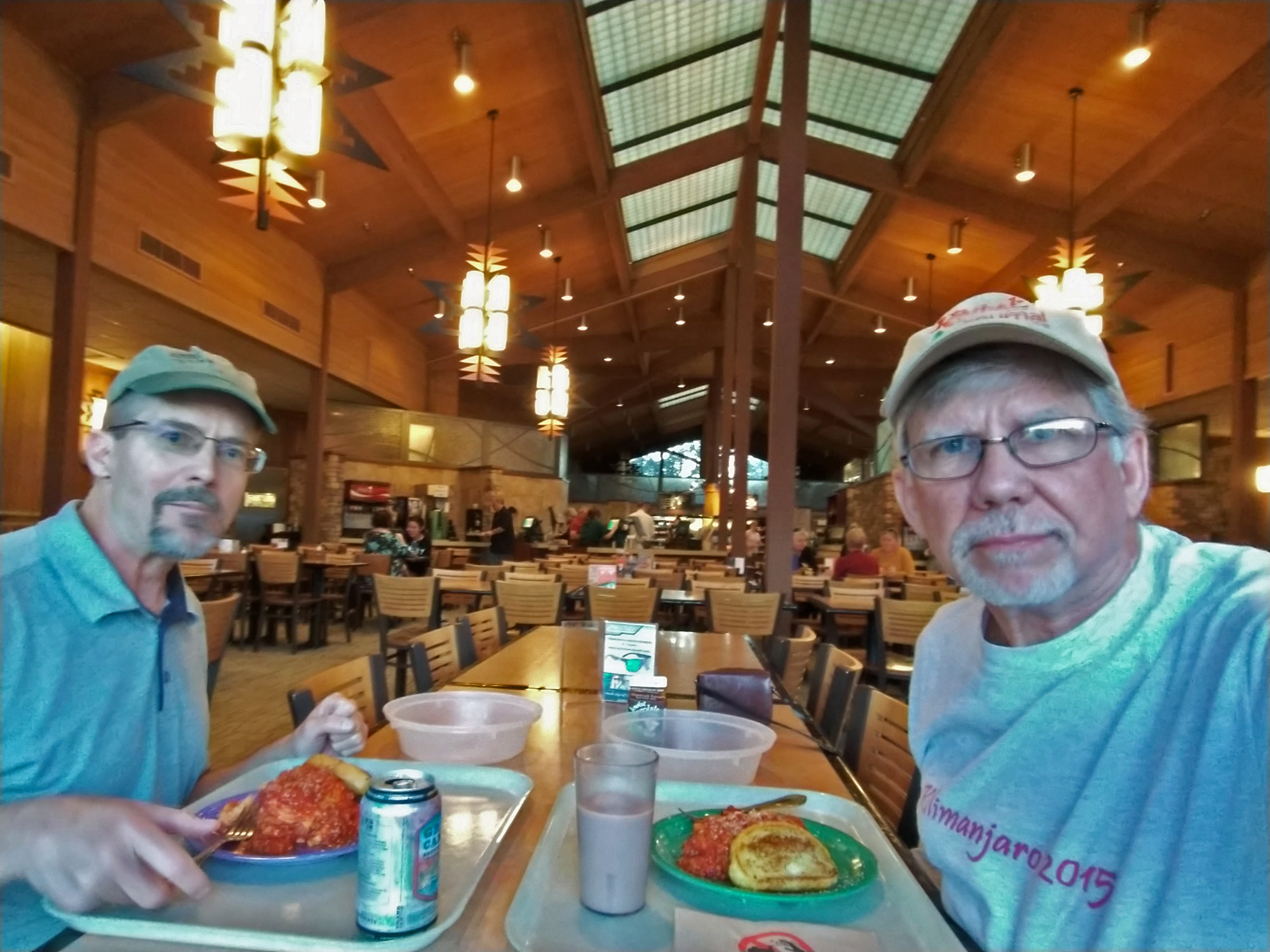 Dinner at the Maswik cafeteria. |
 Camped in the forest. |
 Hermit Rest patio. |
 After heading down the hillside a little ways you come to much better preserved sections of this old "trail." |
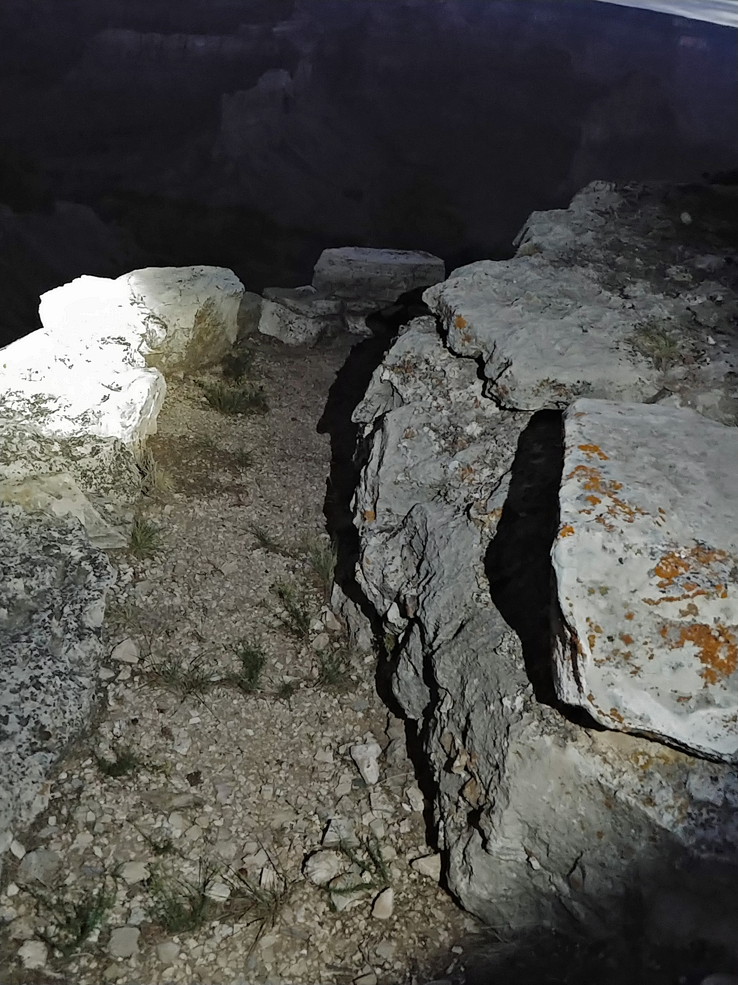
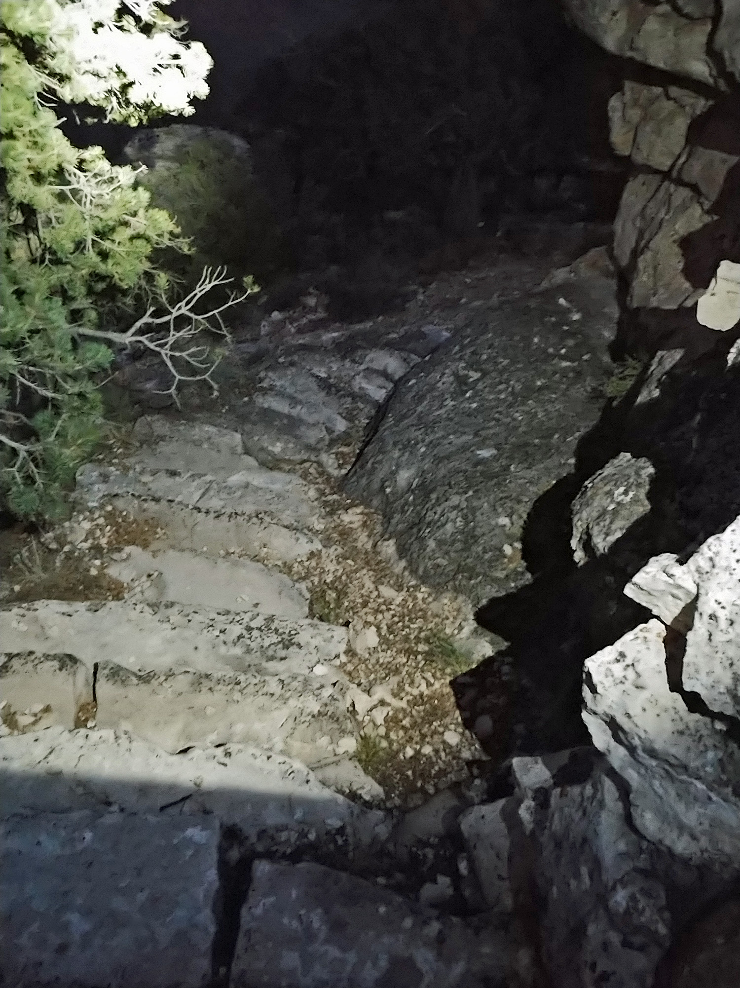 Some of the old stone steps leading down to the overlook are still in good shape. |
 At the bench under the overlook. |
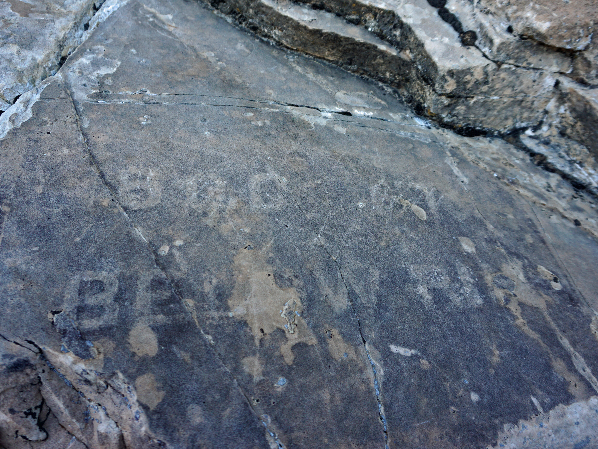
 Discernible stone steps. |
||
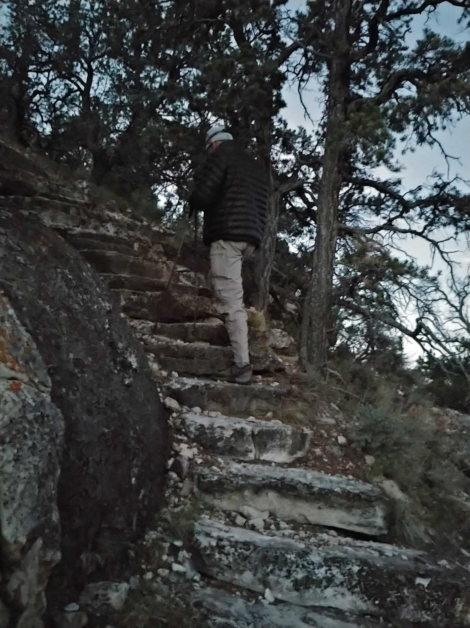 Heading back up the steps. |
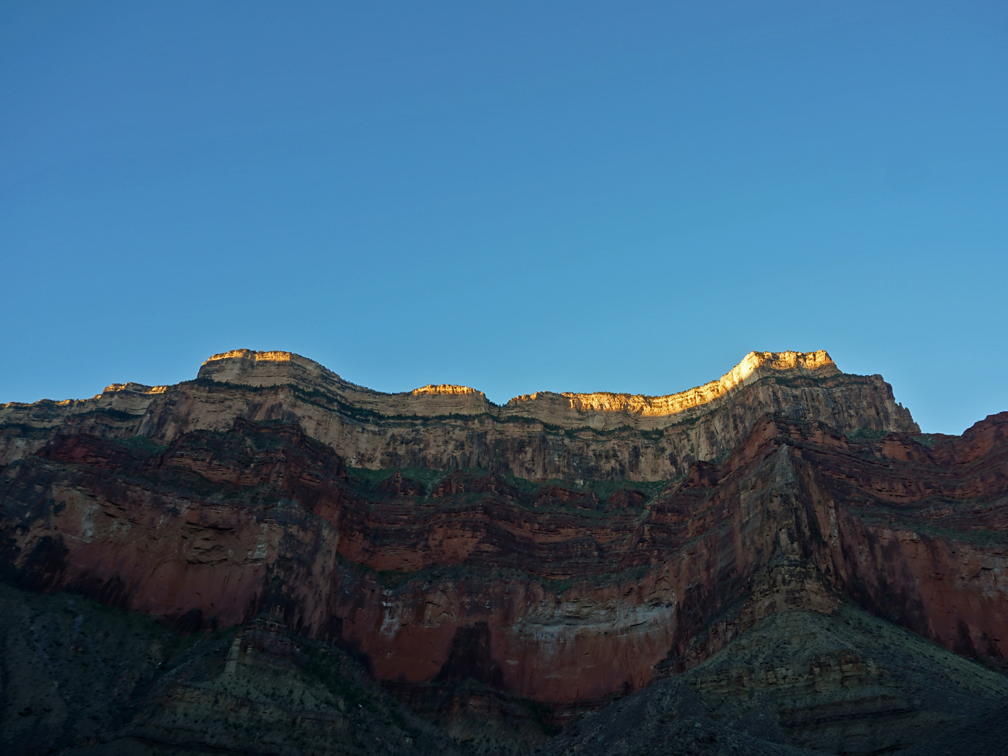
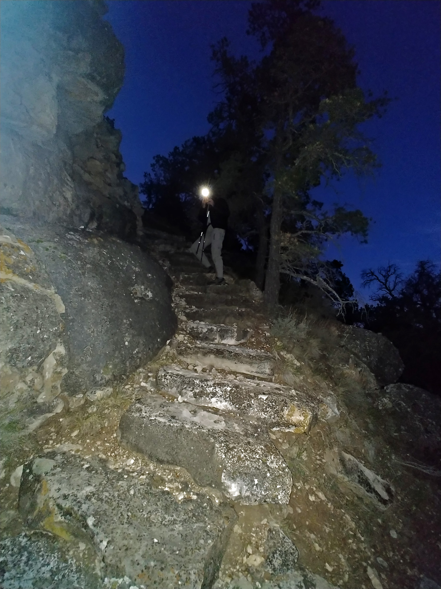 We were here before sunrise. |
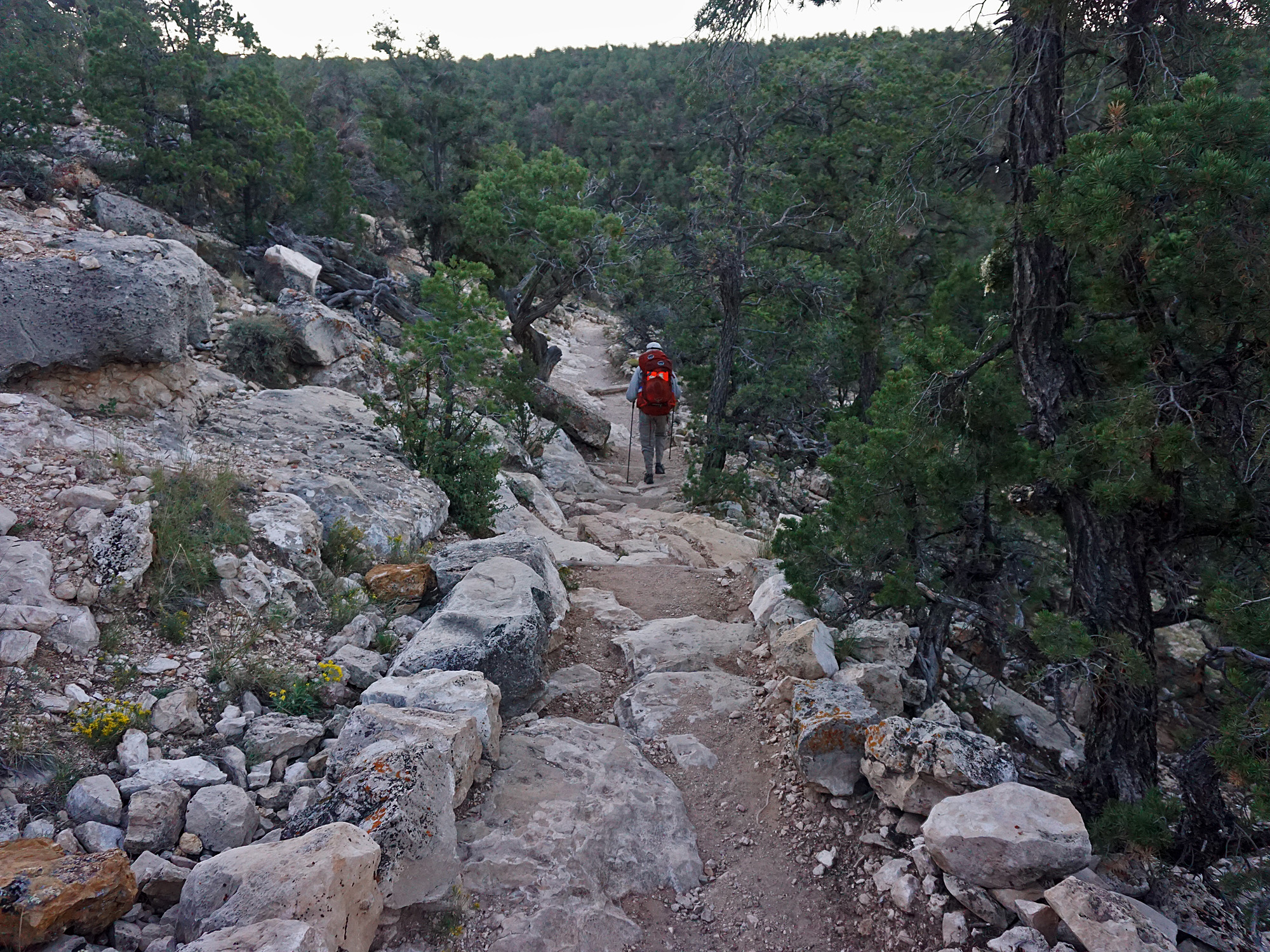 On the Hermit Trail. |
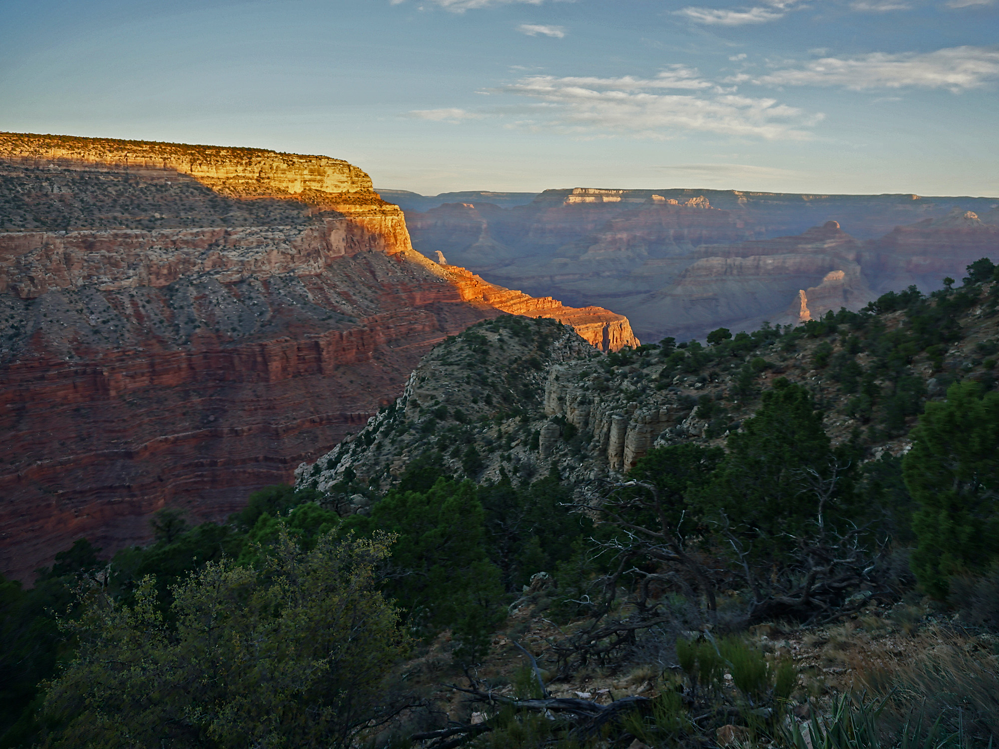 The sun rises on the canyon. |
||
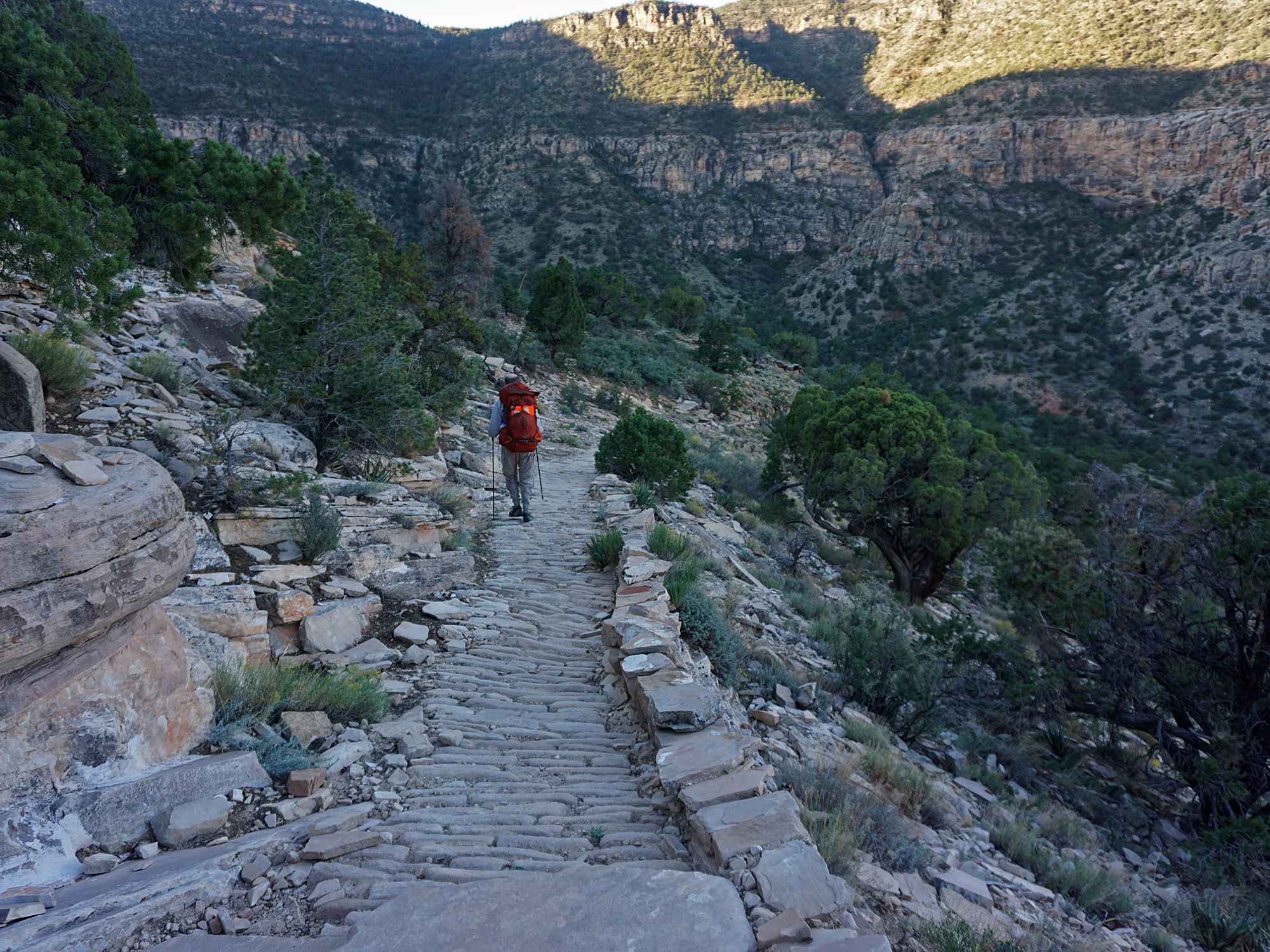
| We started down the Hermit Trail at 6:20 a.m. Forty minutes later we passed by a rock where an old sign had been chipped into it years ago. It reads, "800 FT BELOW RIM." I'm guessing that we were then 800 feet below the rim! After another fifteen minutes we passed by the major site where you can see prehistoric tracks in the Coconino sandstone. We made a very brief stop here. I posted more photos from a hike I did in 2005 here. At 7:35 a.m. we reached the Hermit Basin and the junction of our trail with the Waldron Trail. There used to be an old camp here (and at a spring nearby). We looked around and found an old can and pieces of what looked to us like a concrete pipe. |
|
|
||
|
Click on any picture to see a larger image. |
||
|
|
||
|
From the Hermit trailhead to Hermit Basin. |
||
|
|
||
 In the Coconino sandstone. |
 Old sign - "800 FT BELOW RIM" |
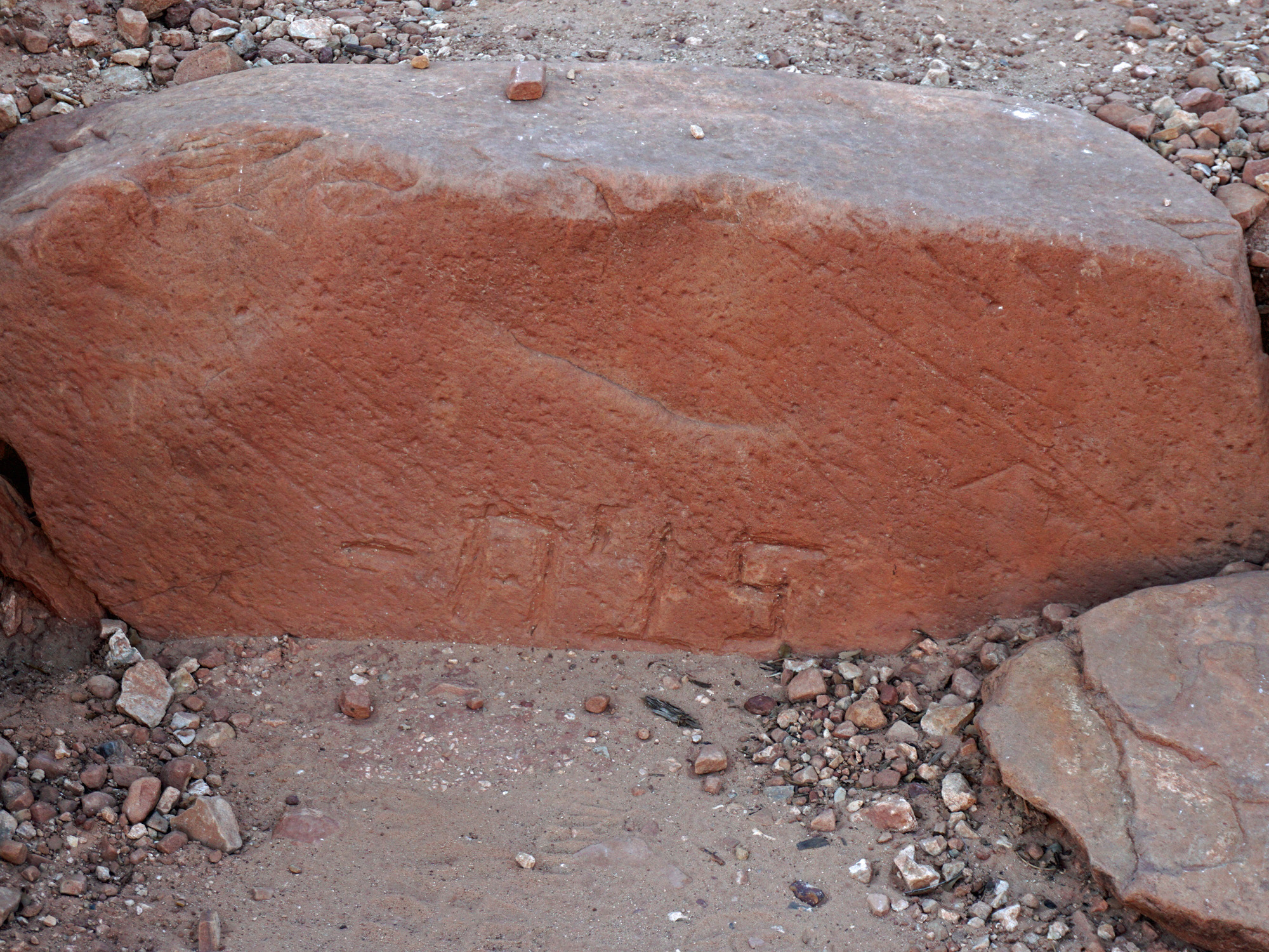
 Near the prehistoric tracks. |
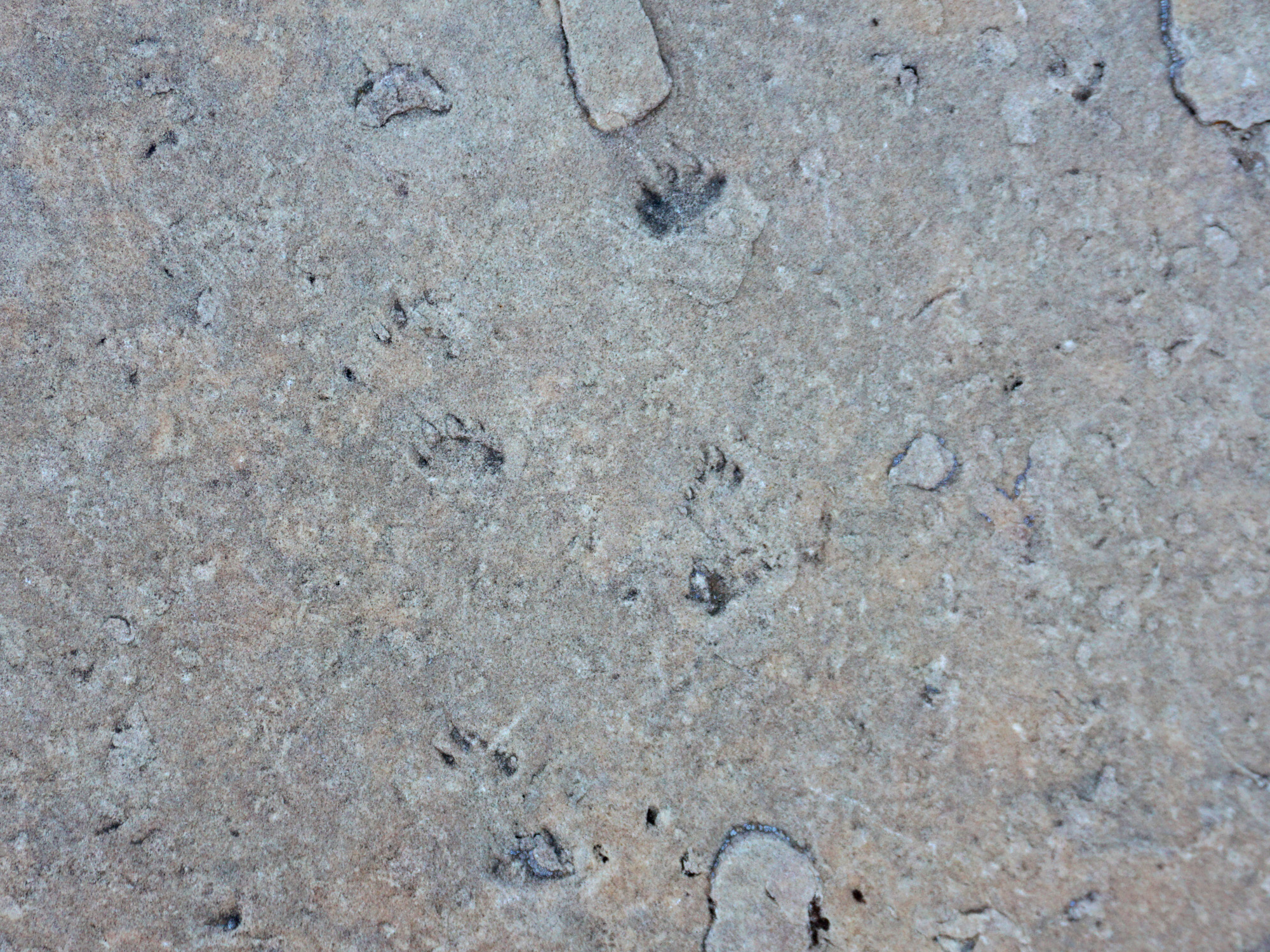 Prehistoric tracks in the sandstone. |
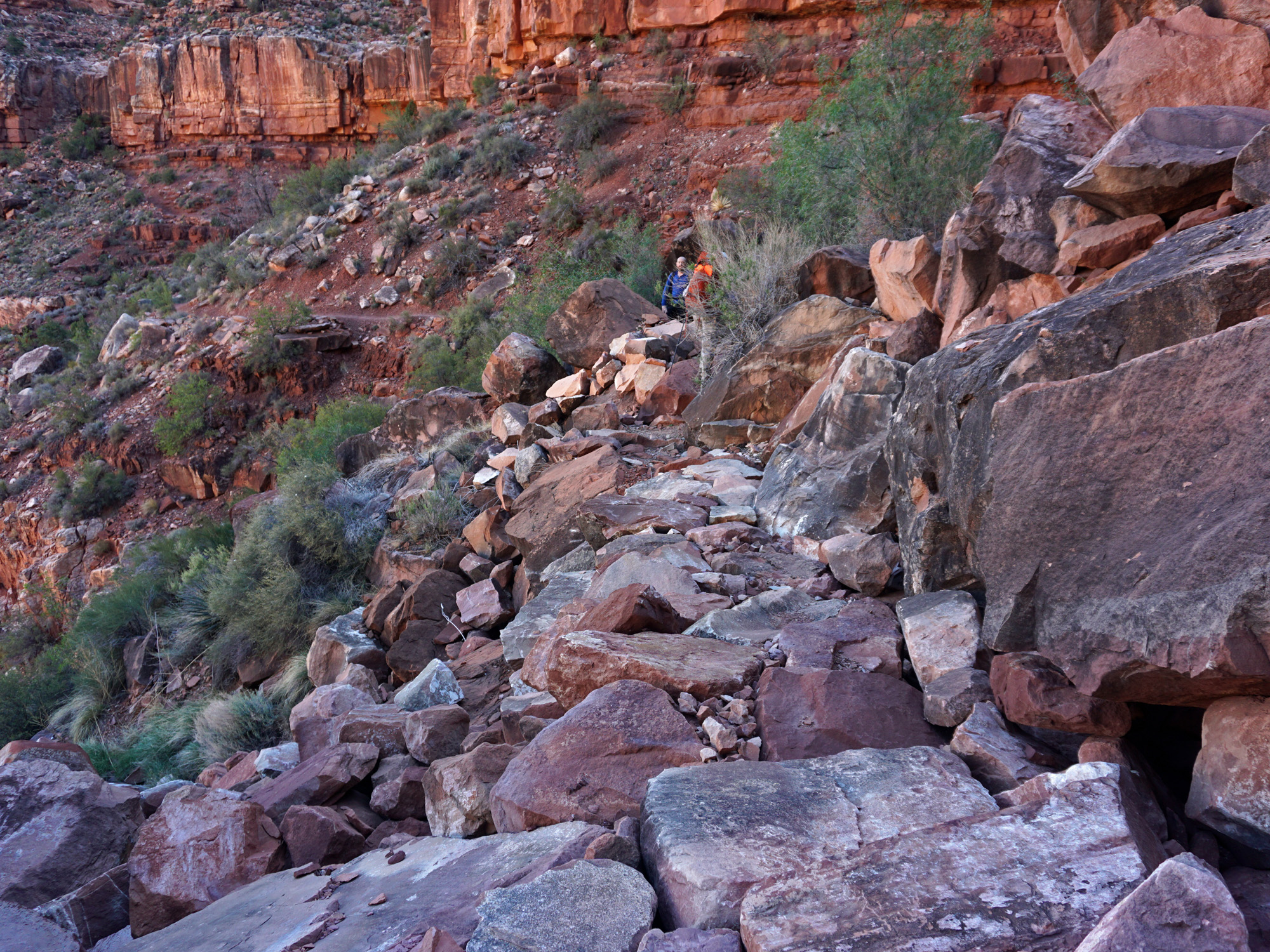
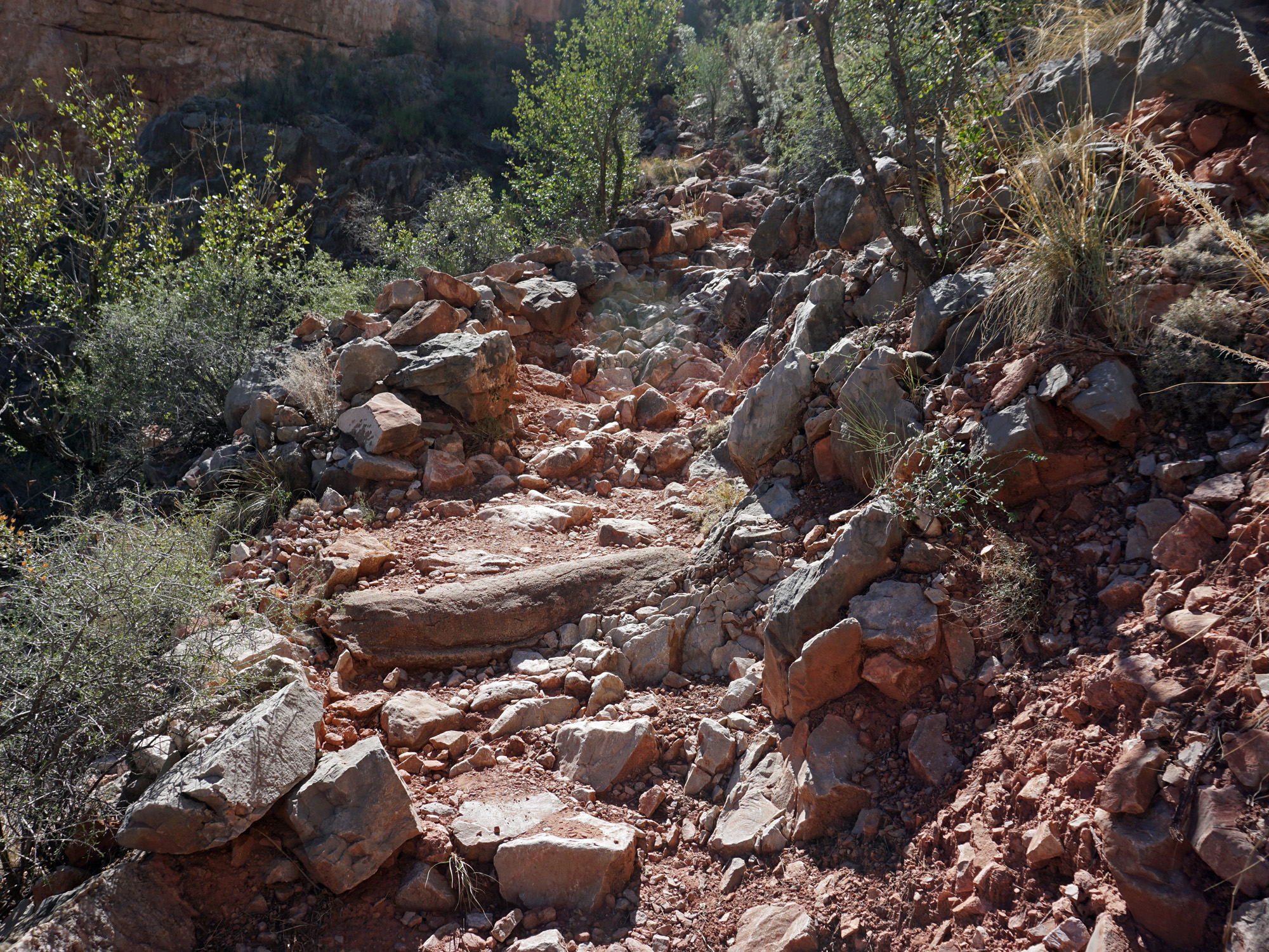
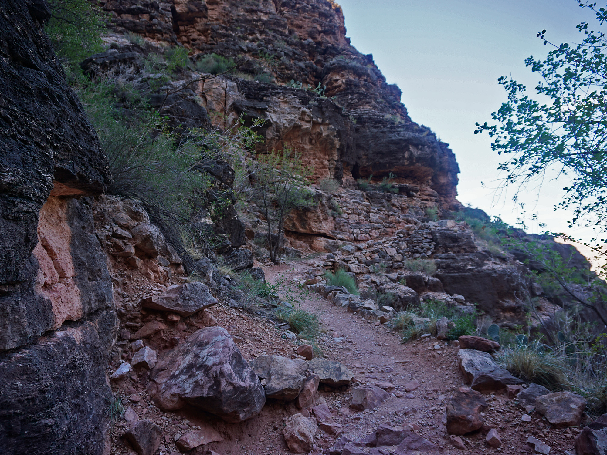
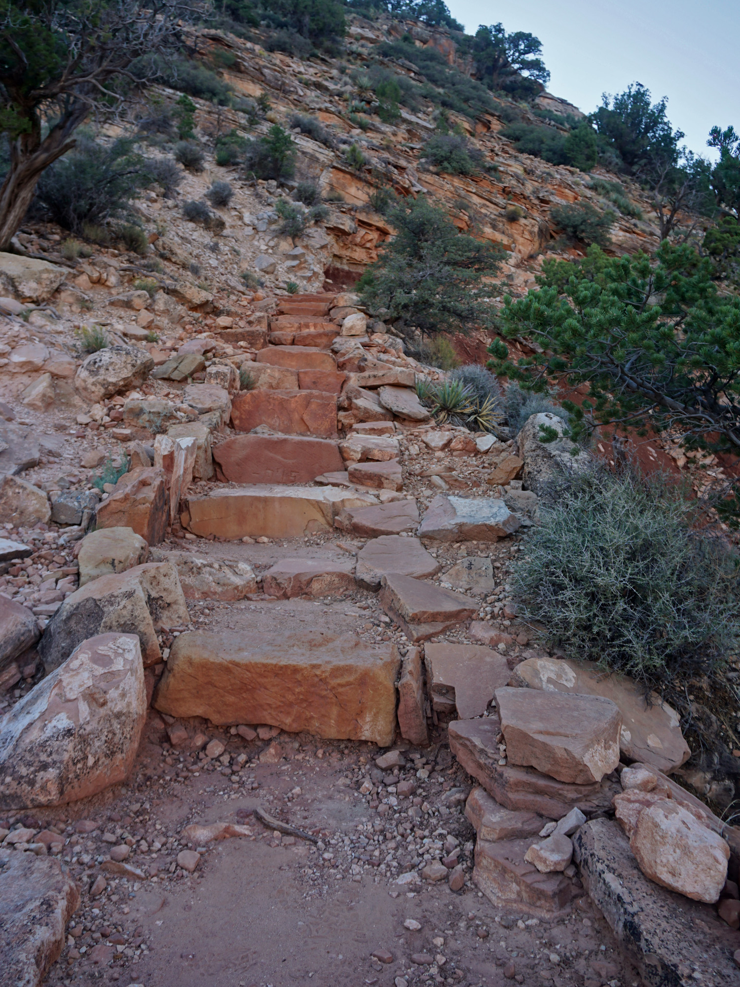 Signs of some more recent trail construction. The Hermit Trail was built to handle mule loads and has weathered the years well, but this is newer work to keep it in shape. |
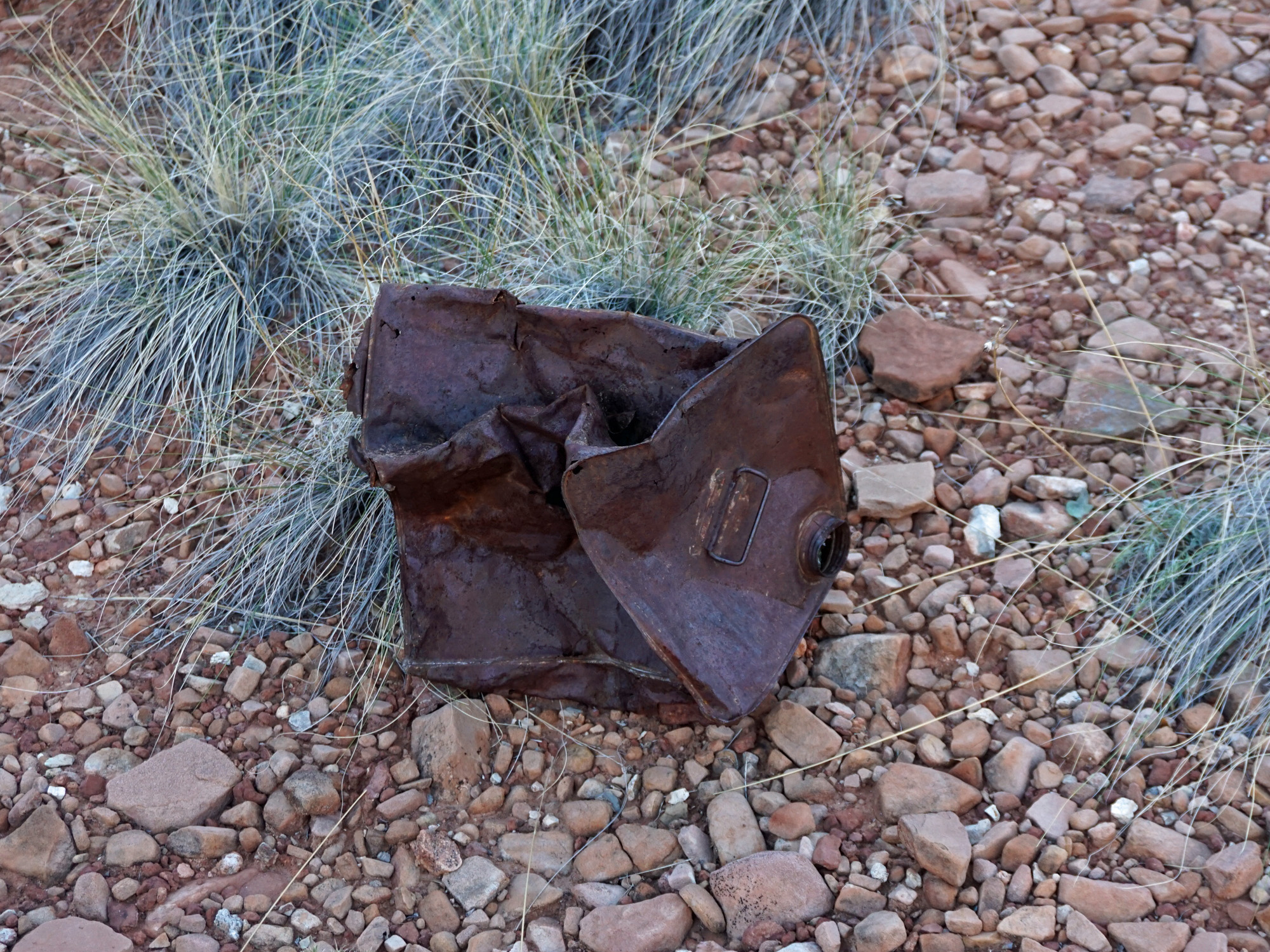 Old can in Hermit Basin. |
 Old? "1915" or "1945" or "1995"? |
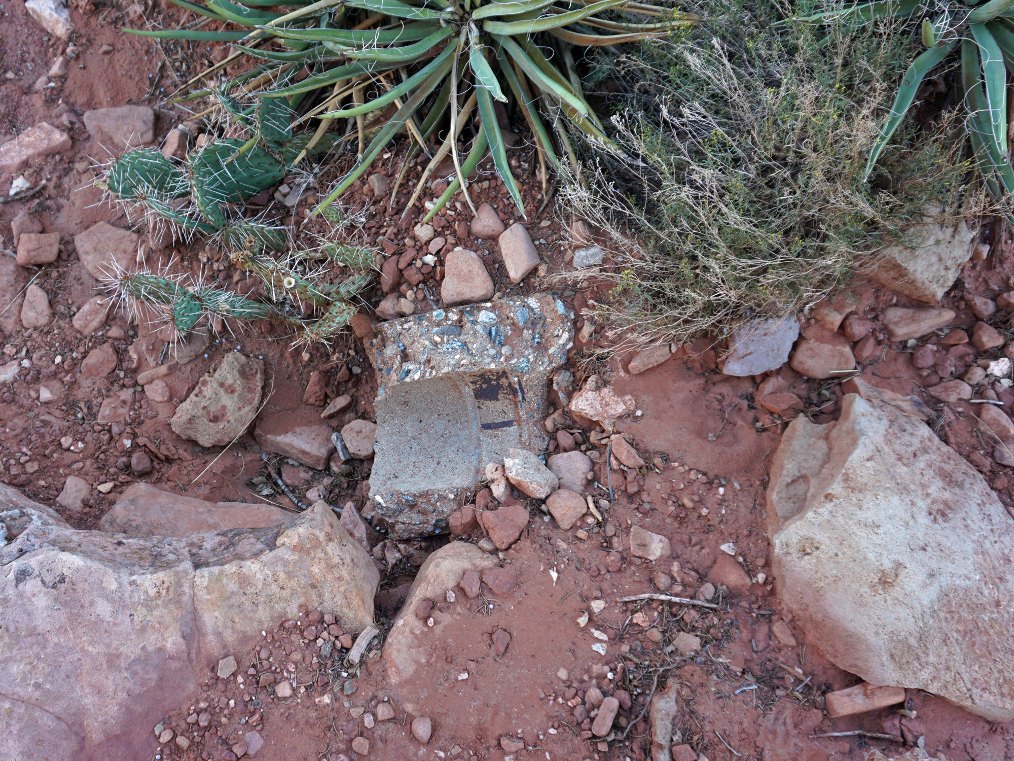 Looks like a pipe. Water? |
|
|
At 7:50 a.m. we were at the junction of our trail with the Dripping
Springs Trail, which contours over into that canyon at this elevation.
Our trail starts to drop down through the Supai layer here. Over
the next couple of miles we will mostly follow a level trail, punctuated
by steep descents as we pass through the various cliffs in the Supai
layer. We reached Santa Maria Spring at 8:15 a.m. and took about a twenty-five minute break. It is about 2.5 miles to this spring from the rim. There has always been water here when I've hiked by, collected in a metal trough next to the wooden rest shelter. If you look around you will find signs of other construction in the area. This seems to have been a major stopping/resting point for the mule trips. Down below the trail is an old outhouse with well-built rock walls! |
|
|
||
|
Click on any picture to see a larger image. |
||
|
|
||
|
From Hermit Basin to Santa Maria Spring. |
||
|
|
||
 The exit out of Hermit Basin. |
 Approaching Santa Maria Spring. |
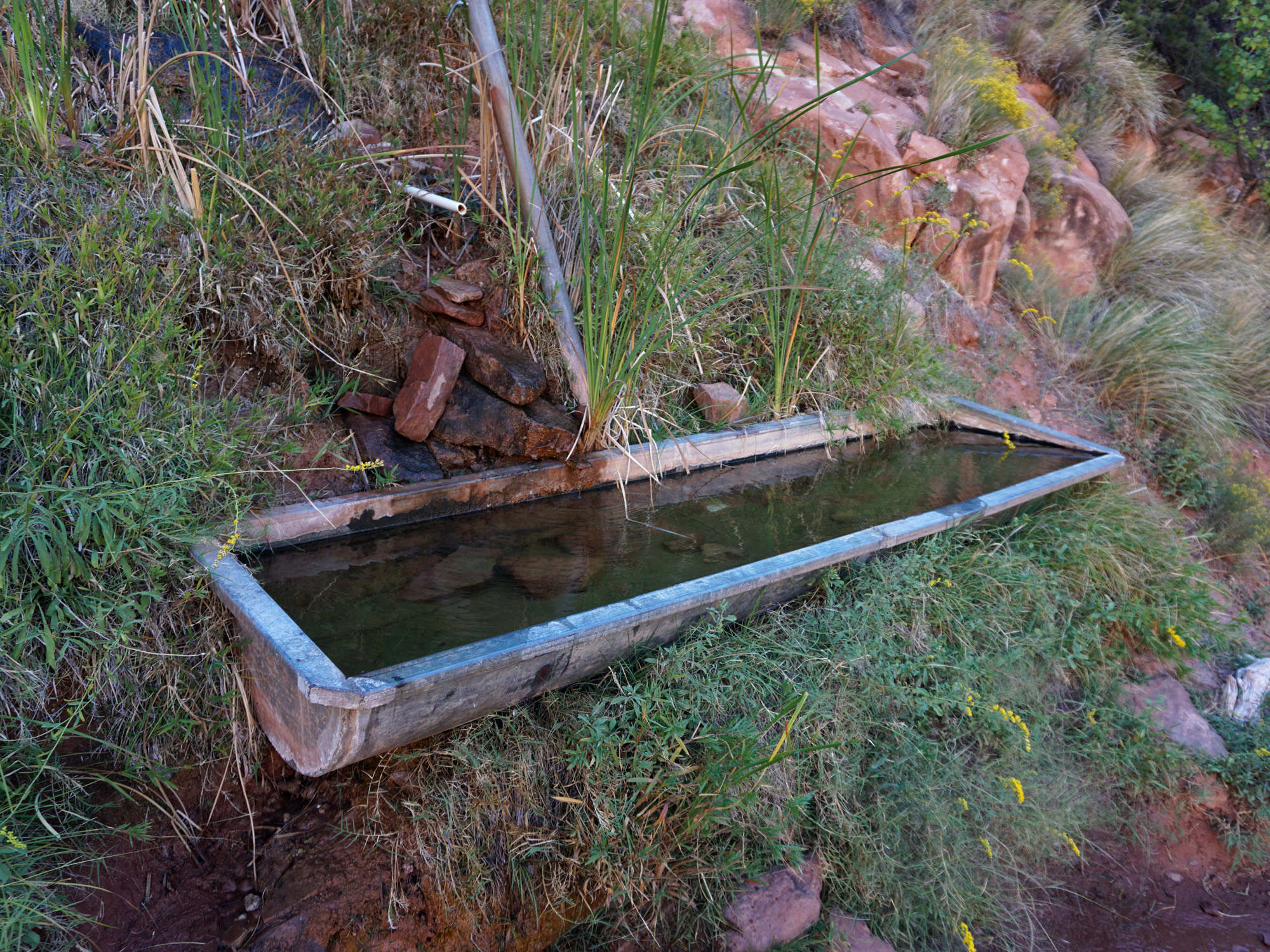 The water trough was full. |
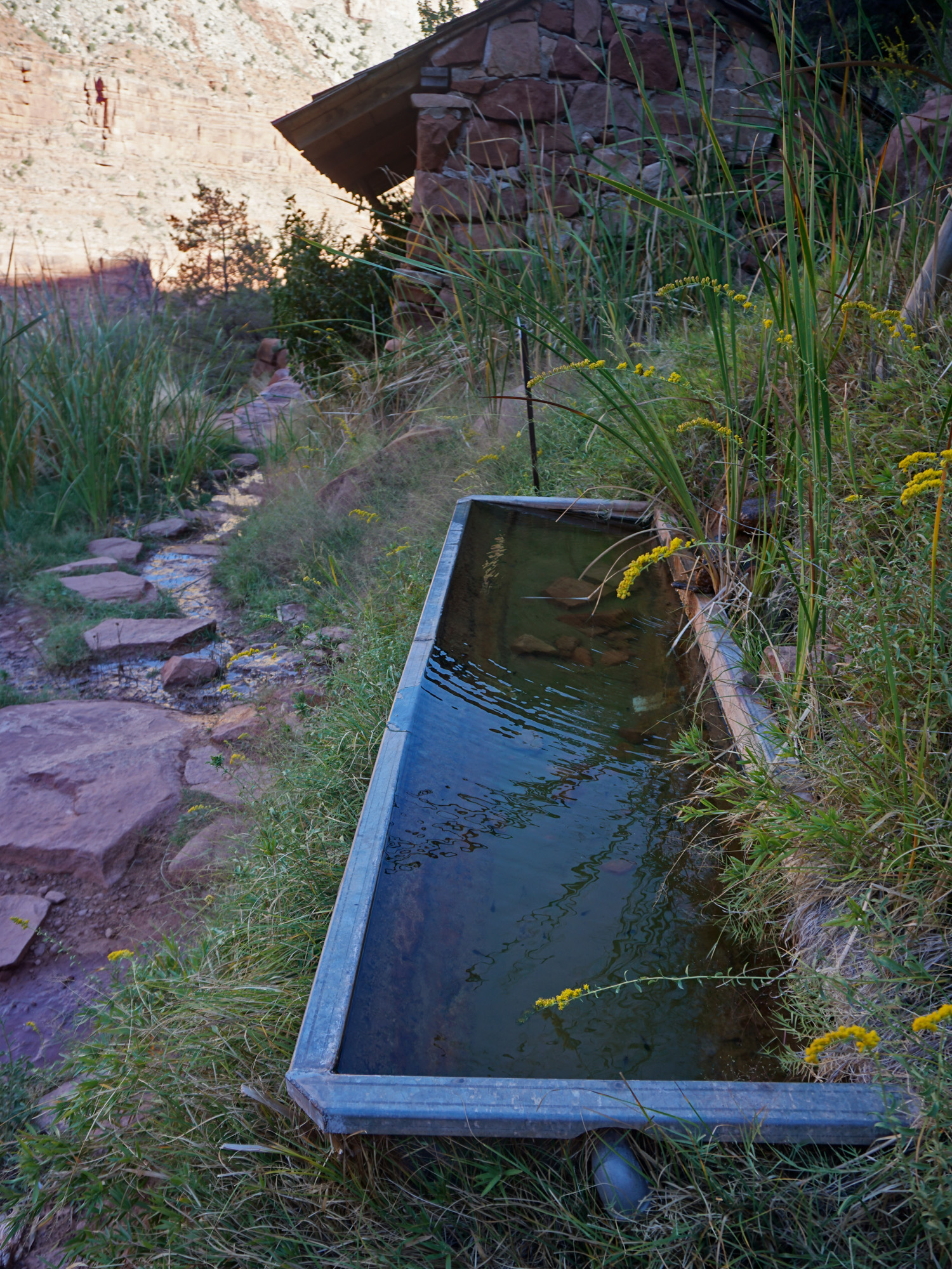 The water trough is right next to the shelter. Not a bad place to spend some time on a hot day. |
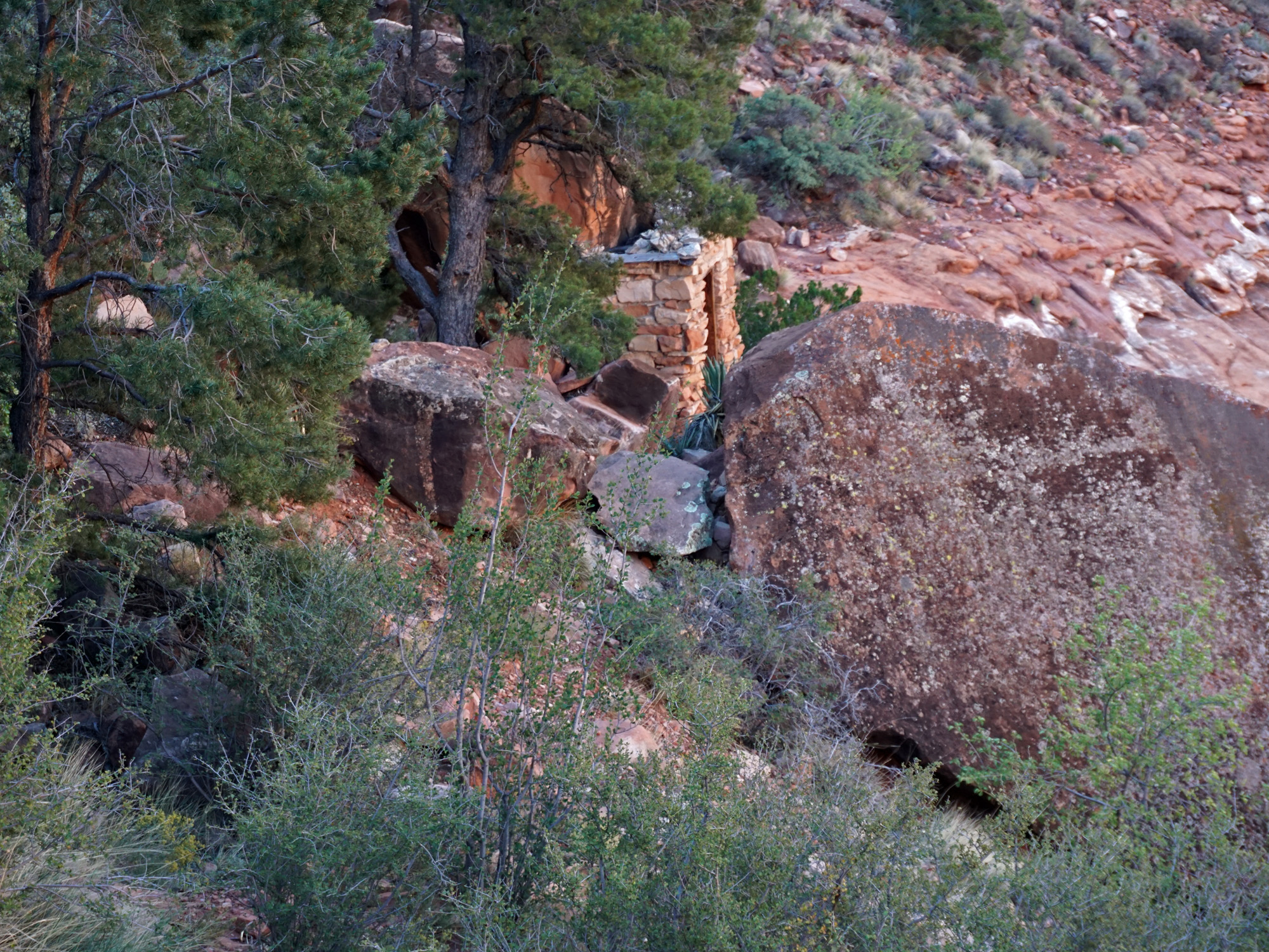 Old outhouse below the spring. |
 Looking into Dripping Springs canyon. |
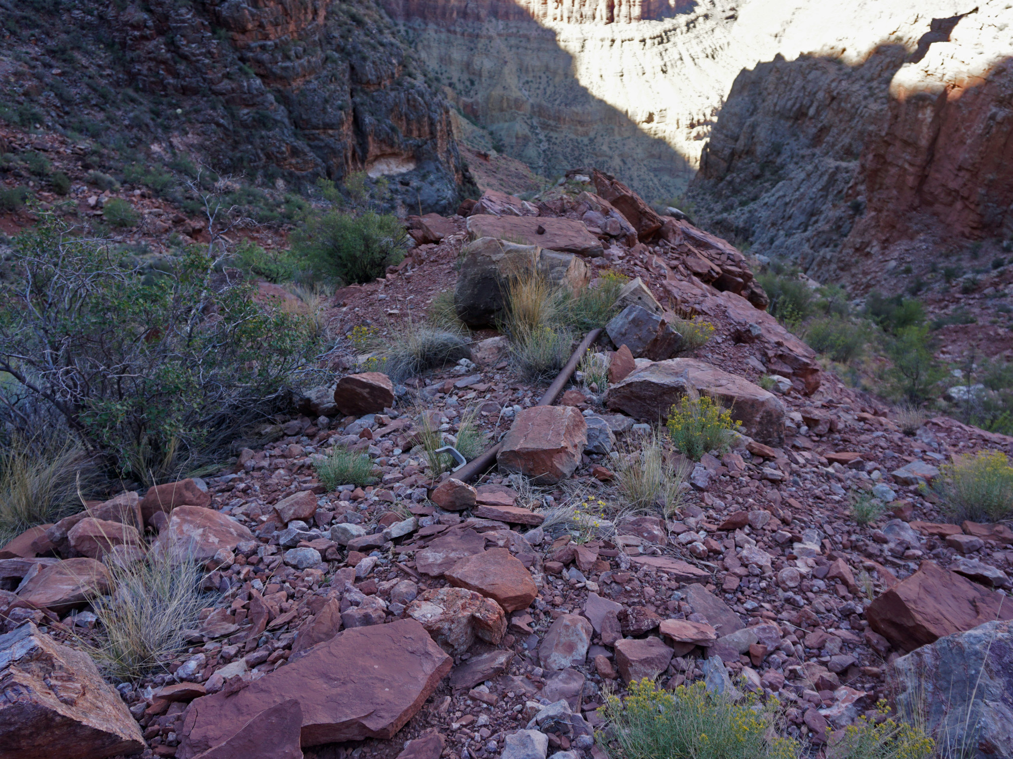
 Pipe where mules might be tied up. |
 On the trail in the Supai. |
|
|
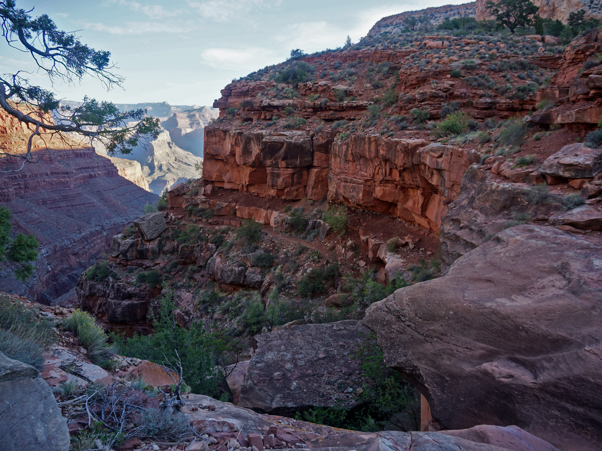
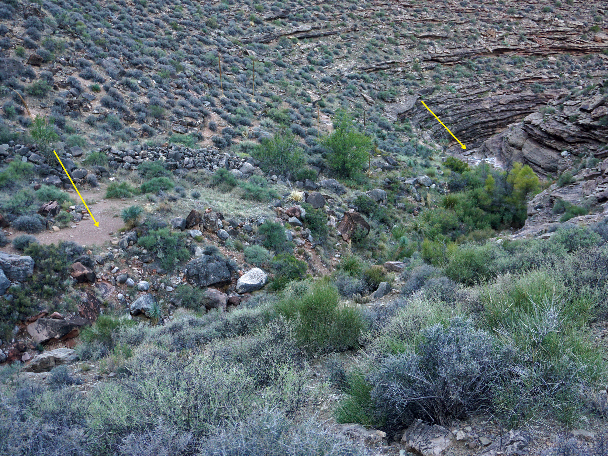
About an hour after leaving Santa Maria we passed by some old
construction material. We were likely at "Lookout Point,"
which is on
the route of the old supply tram that ran from Pima Point to Hermit
Camp. After another hour, at 10:40 a.m., we reached the top of the
Cathedral Stairs, which switchback down through the Redwall. This
was pretty much the last shade that we had until we reached Monument
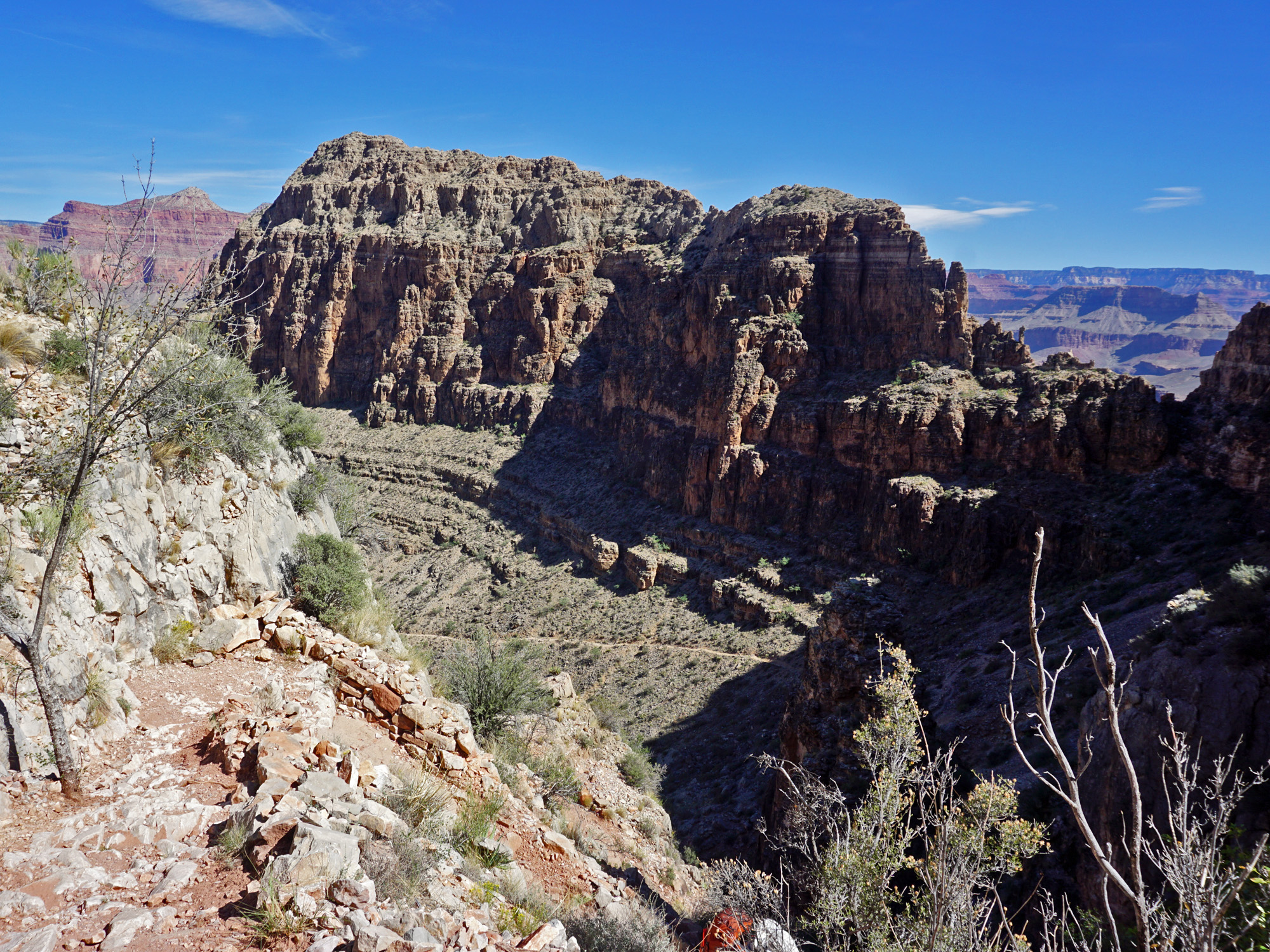
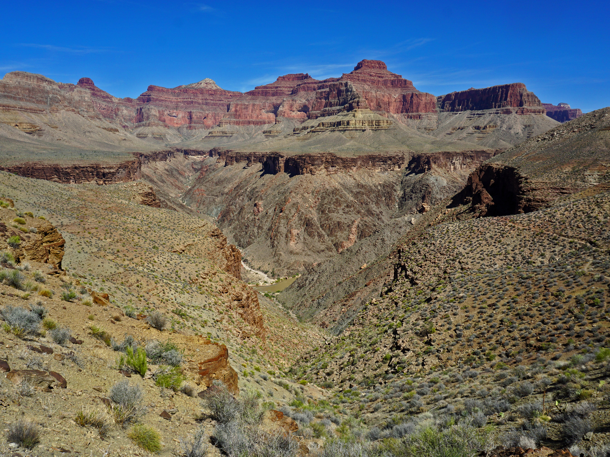
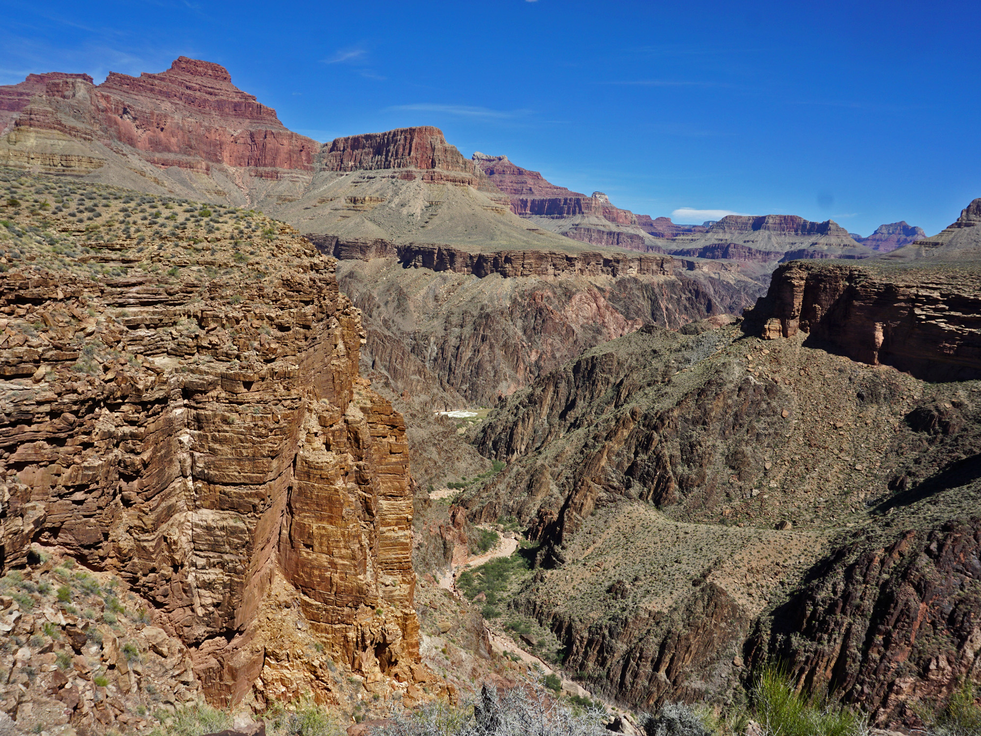
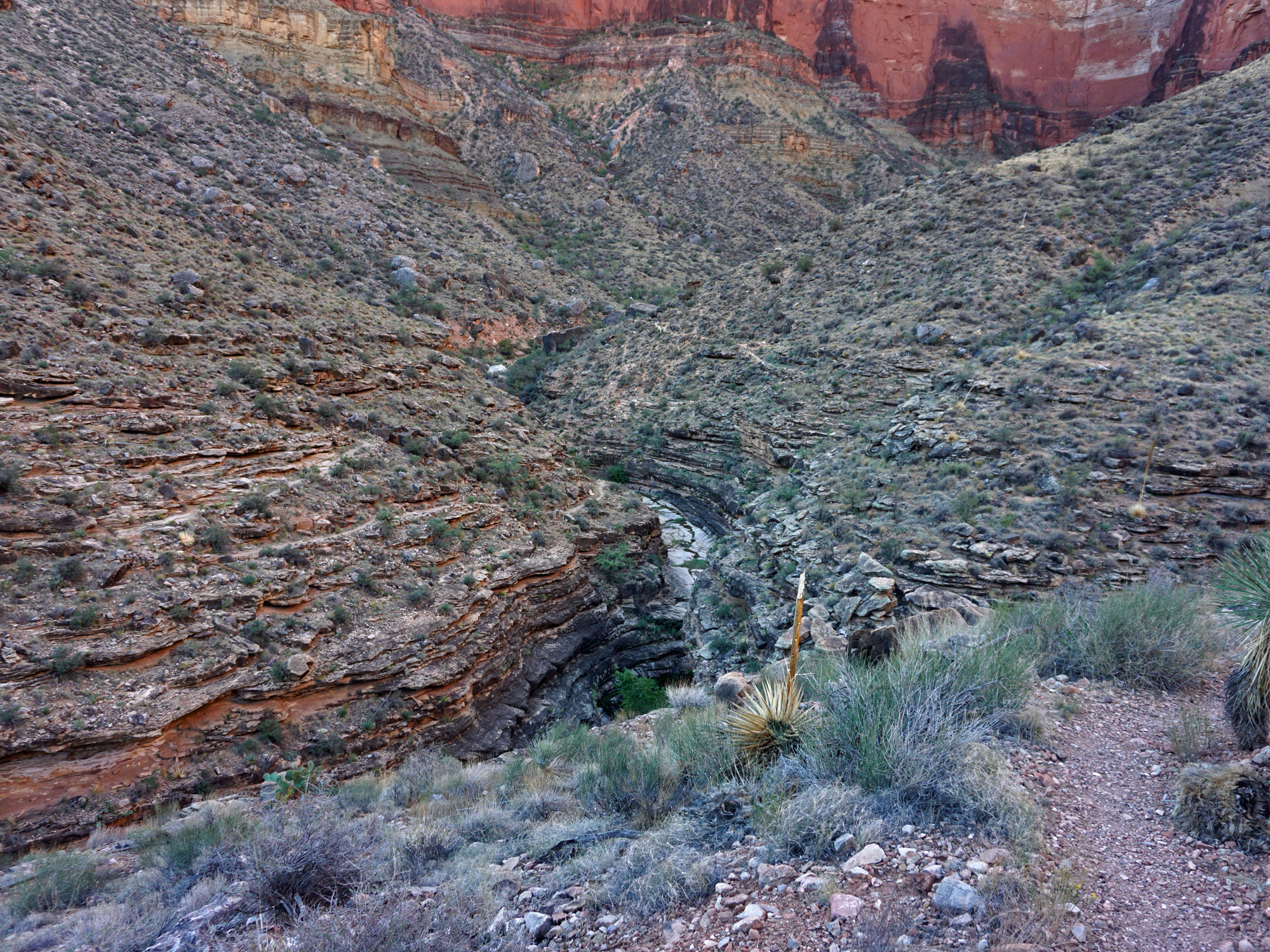
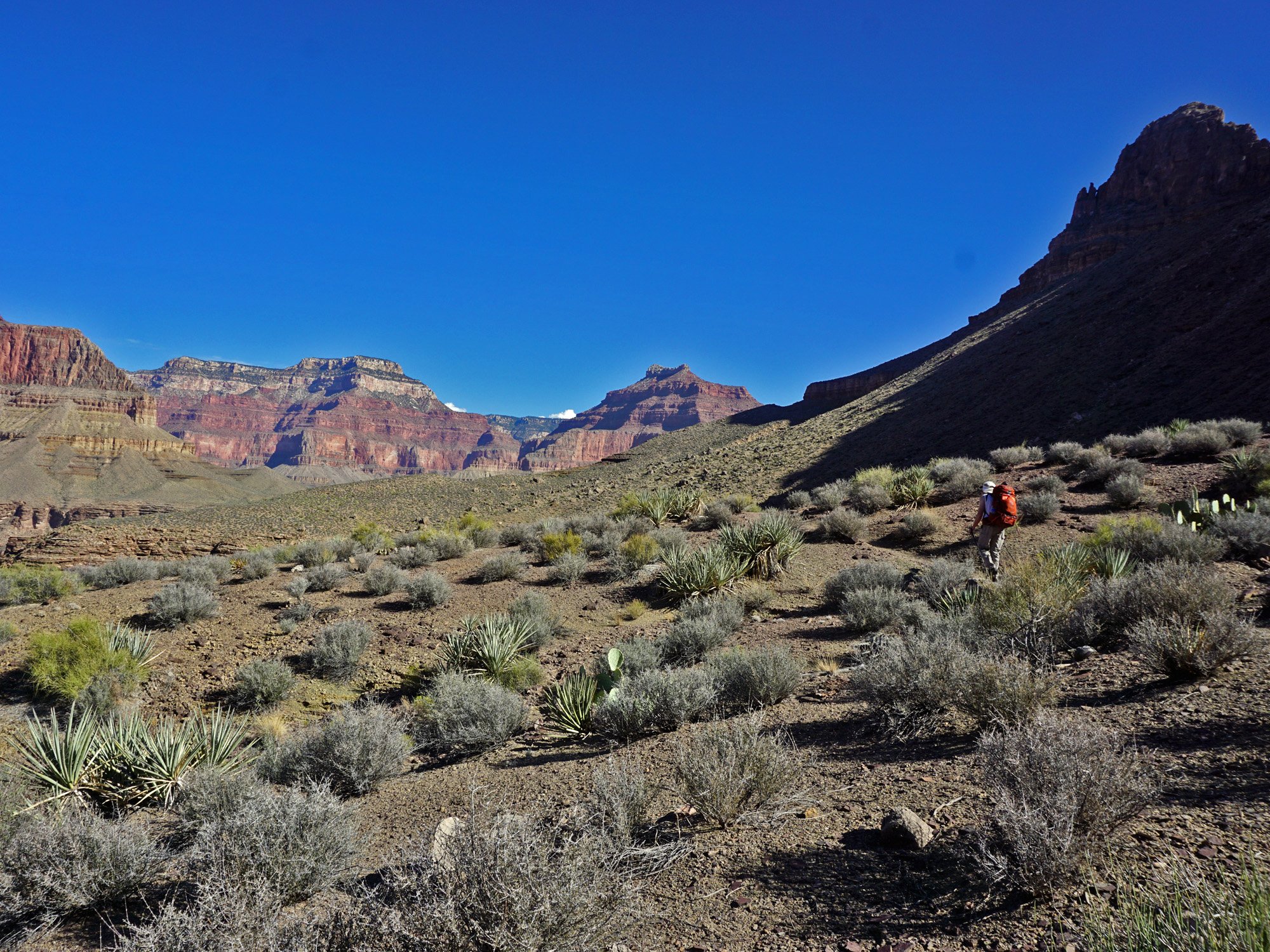
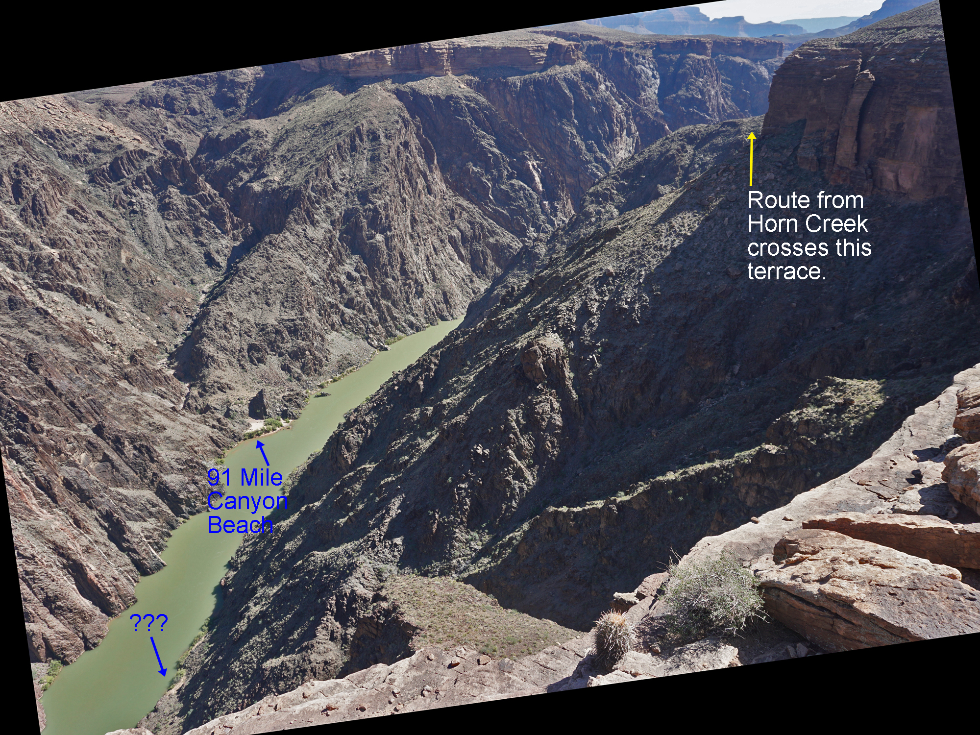
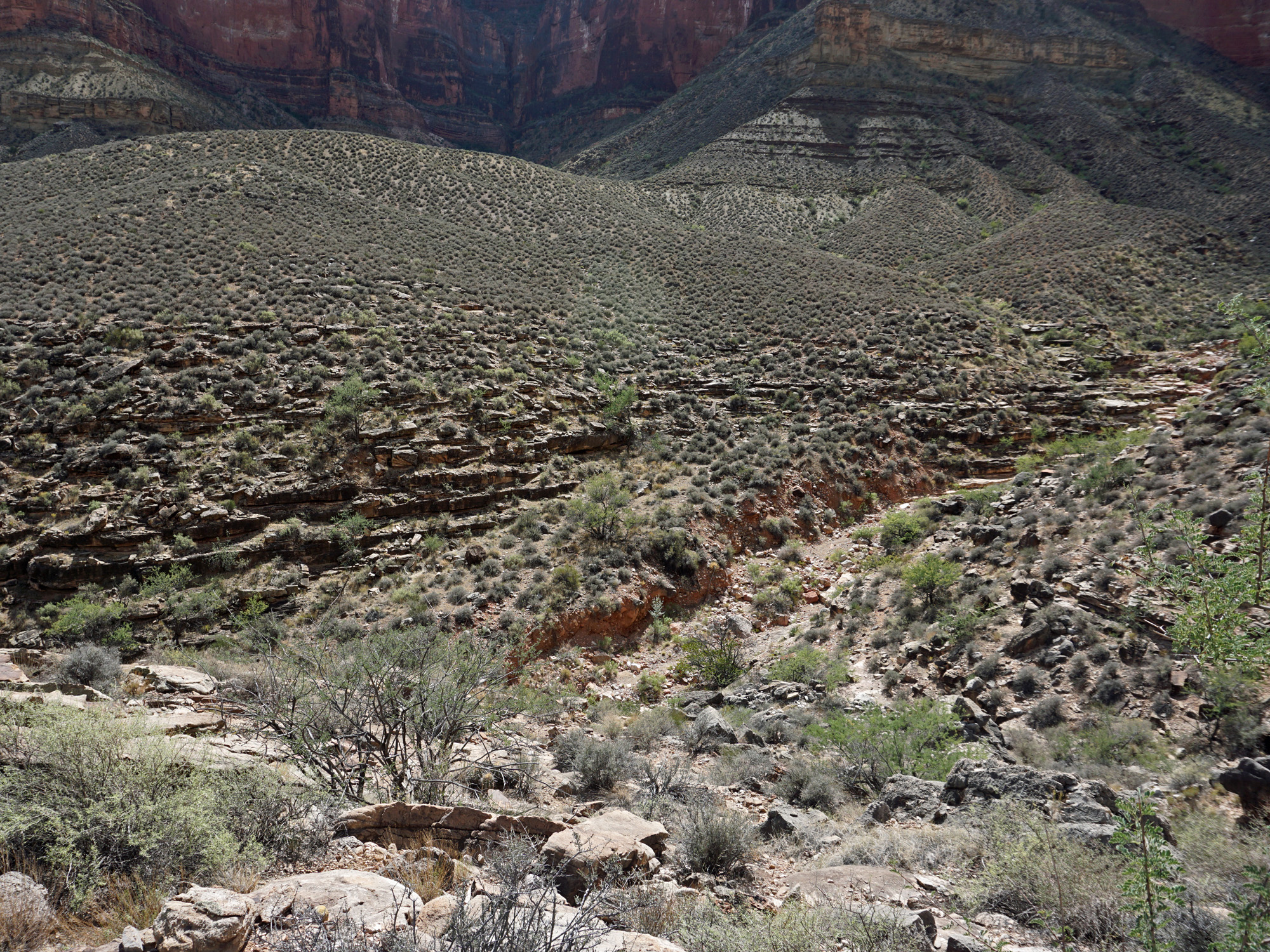
Creek. It was 11:40 a.m. when we reached the junction of the Hermit Trail and the Tonto Trail. From here we would be going east. We took a fifteen minute break here. From here we are often along the edge of the Tapeats rim with great views, not only up and down the canyon but also of parts of the river. We could see down to Boucher Rapids, which is the next canyon west of Hermit. We also could see a piece of the river right at the mouth of 94 Mile Canyon. In 1981 I did a day hike down Hermit, over to Monument, down to the river and then followed the river to Hermit Rapids and then back up the Hermit Trail to the rim. This piece of the river that we could see was where I stopped for lunch on that hike. Hiking along the Tonto was grueling. As we crossed the saddle into Monument we met a guided group of six, or seven, people headed to Hermit Camp. We chatted for a few minutes. In my notes at the time I wrote, "Hot!" And, so it was. At 1:40 p.m. we reached a camp site in Monument that was getting some partial shade from the trees here. Willows I believe. I read somewhere that there were cottonwoods here but I don't recall seeing any. Too bad, because they usually produce good shade! As noted earlier, we were so drained by the heat that we ended up just hanging around the camp for the rest of the day. It's only been a few years since I was last here - well, 2010 - but I was surprised to see that this site now has a decent new outhouse building. That is a great improvement over what used to be here. I presume that the same is true at the Hermit Creek campsite. |
|
|
||
|
Click on any picture to see a larger image. |
||
|
|
||
|
From Santa Maria Spring to Monument Creek. |
||
|
|
||
 Remains from the old tram? |
 Trail descends Cathedral Stairs. |
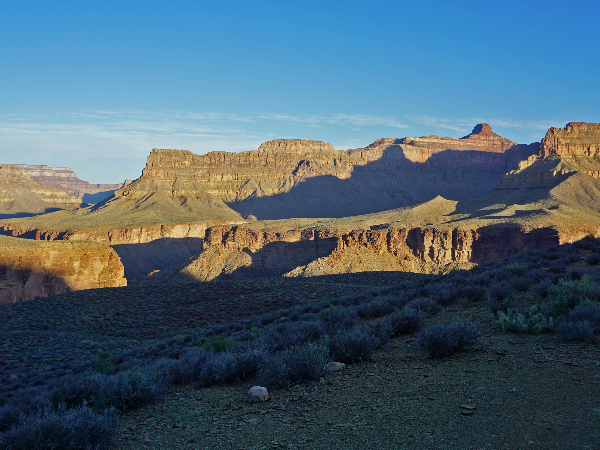
 Craggy Redwall with views. |
 Switchback in Cathedral Stairs. |
 River and 94 Mile Canyon. |
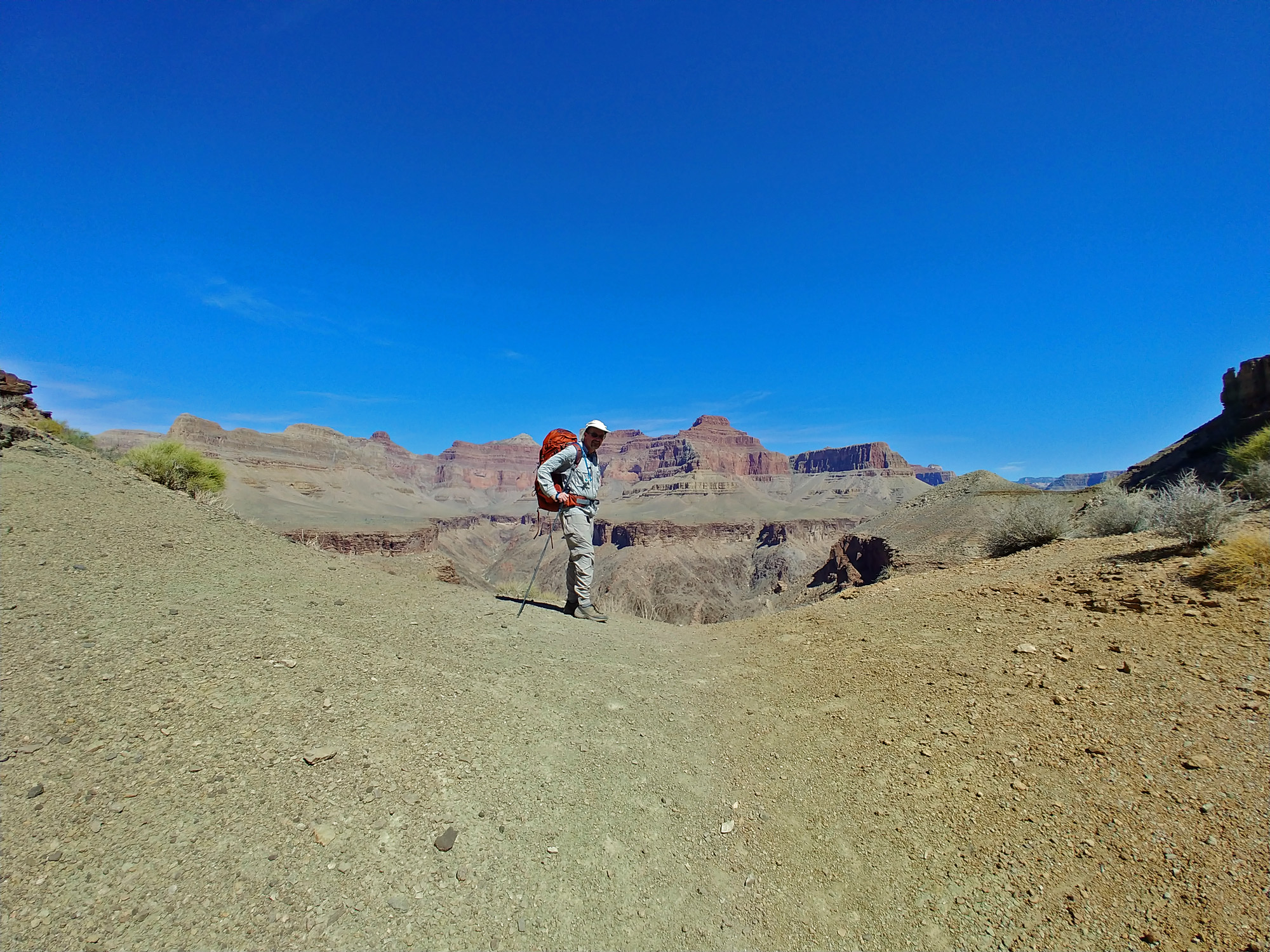 John on Hermit/Monument saddle. |
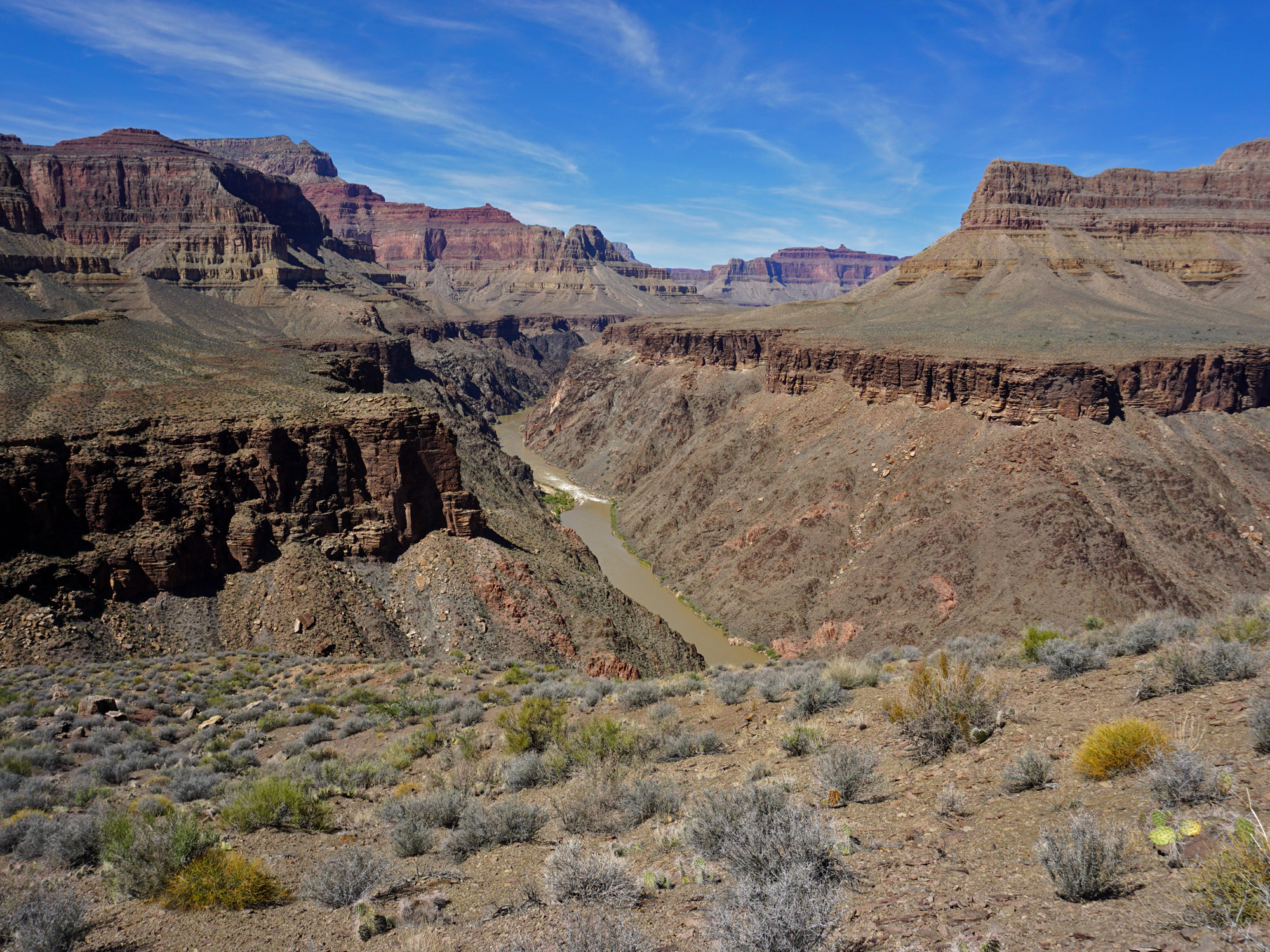 Boucher Rapids. |
 Granite Rapids & Monument Canyon. |
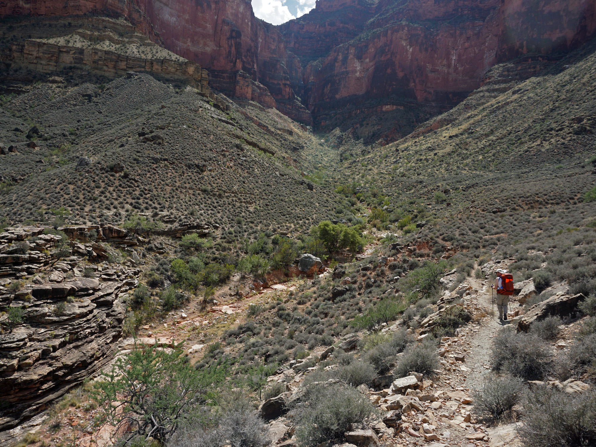
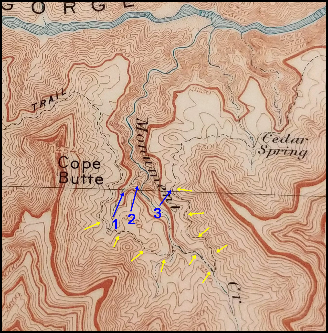
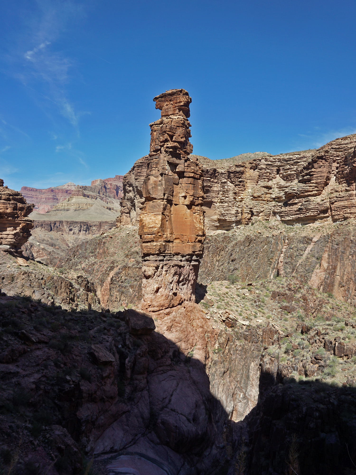 "The Monument." The trail comes down a shallow side canyon to Monument to get below the Tapeats cliffs and then contours into the main bed right past this rock pinnacle. |
 New-ish outhouse in Monument. |
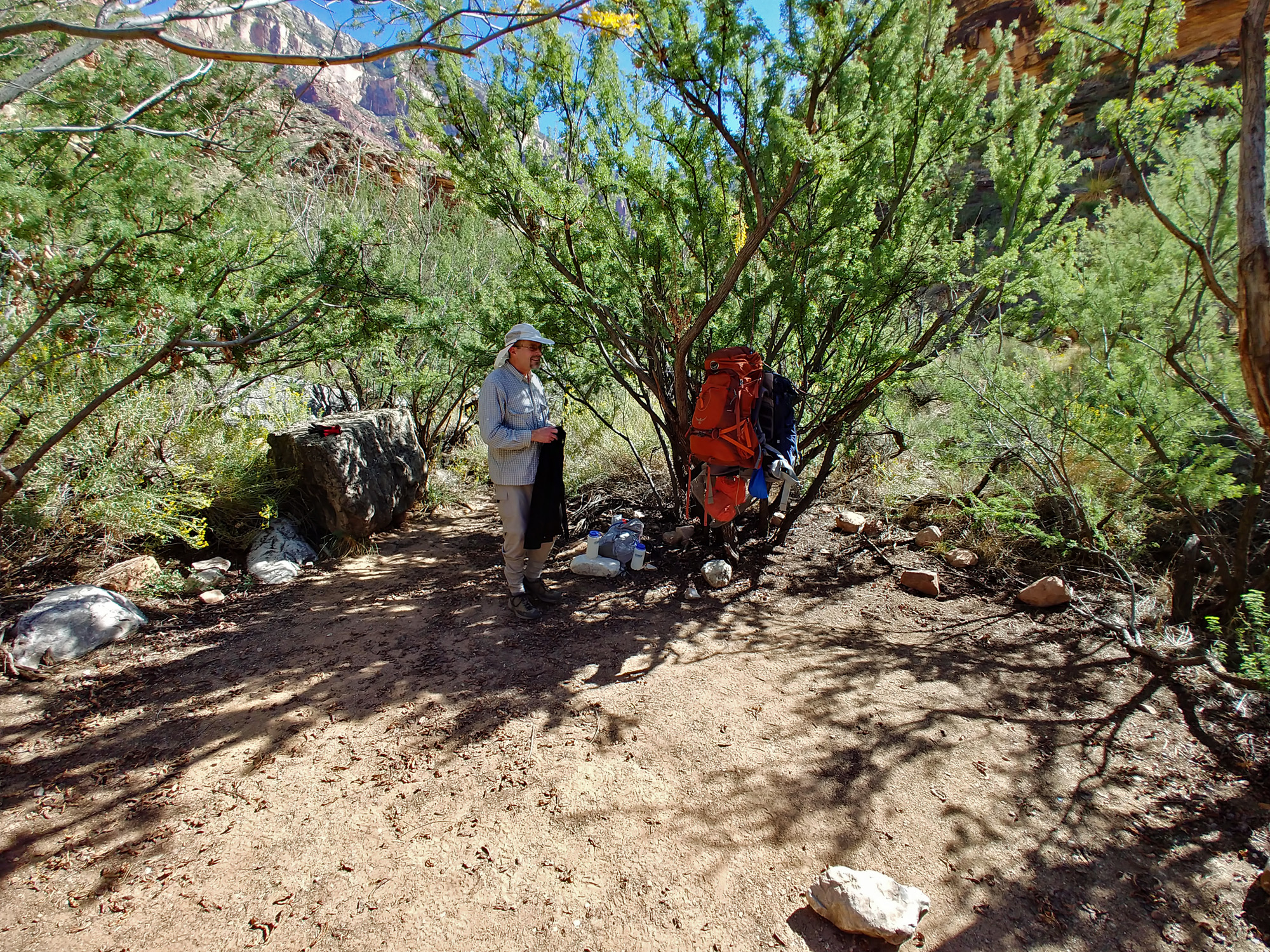 Our camp at Monument Creek. |
|
|
Day 2 - From Monument Creek to Indian Garden and the South Rim (Sunday, September 30):
The park service has this hike pegged at nearly 25 miles altogether and
this day's portion is 15.5 miles. Given the heat, we decided to
get an early start. We were up at 4 a.m. and ready to go two hours
later. The well-constructed switchbacks are impressive, especially
so when you consider that this is the Tonto Trail, known for its rather
strict adherence to following a constant elevation as it snakes in and
out of the many side canyons that lead to the Colorado River. |
|
|
||
|
Click on any picture to see a larger image. |
||
|
|
||
|
From Monument Creek to 1919 Tram Survey site. |
||
|
|
||
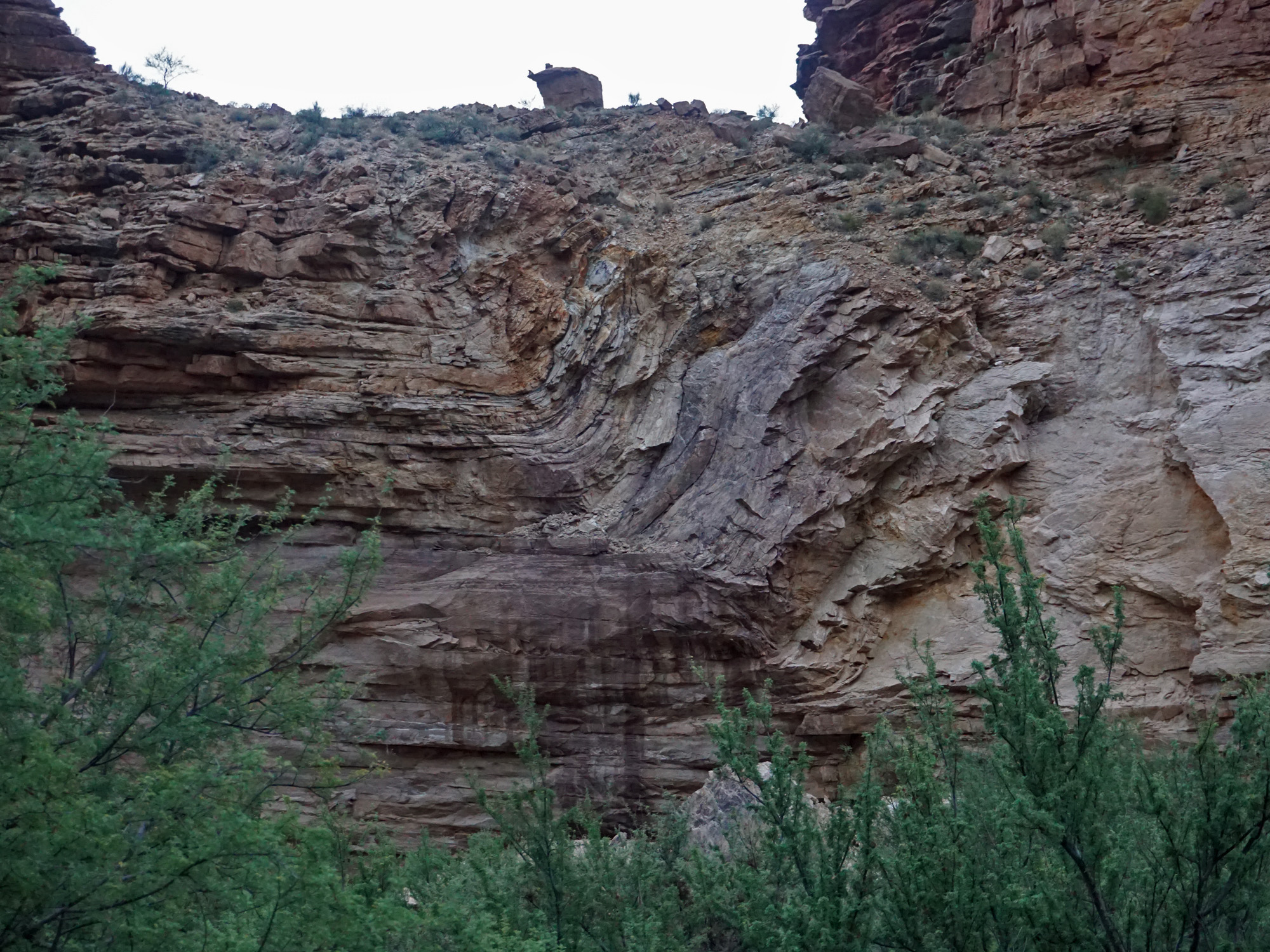 Folded rock. |
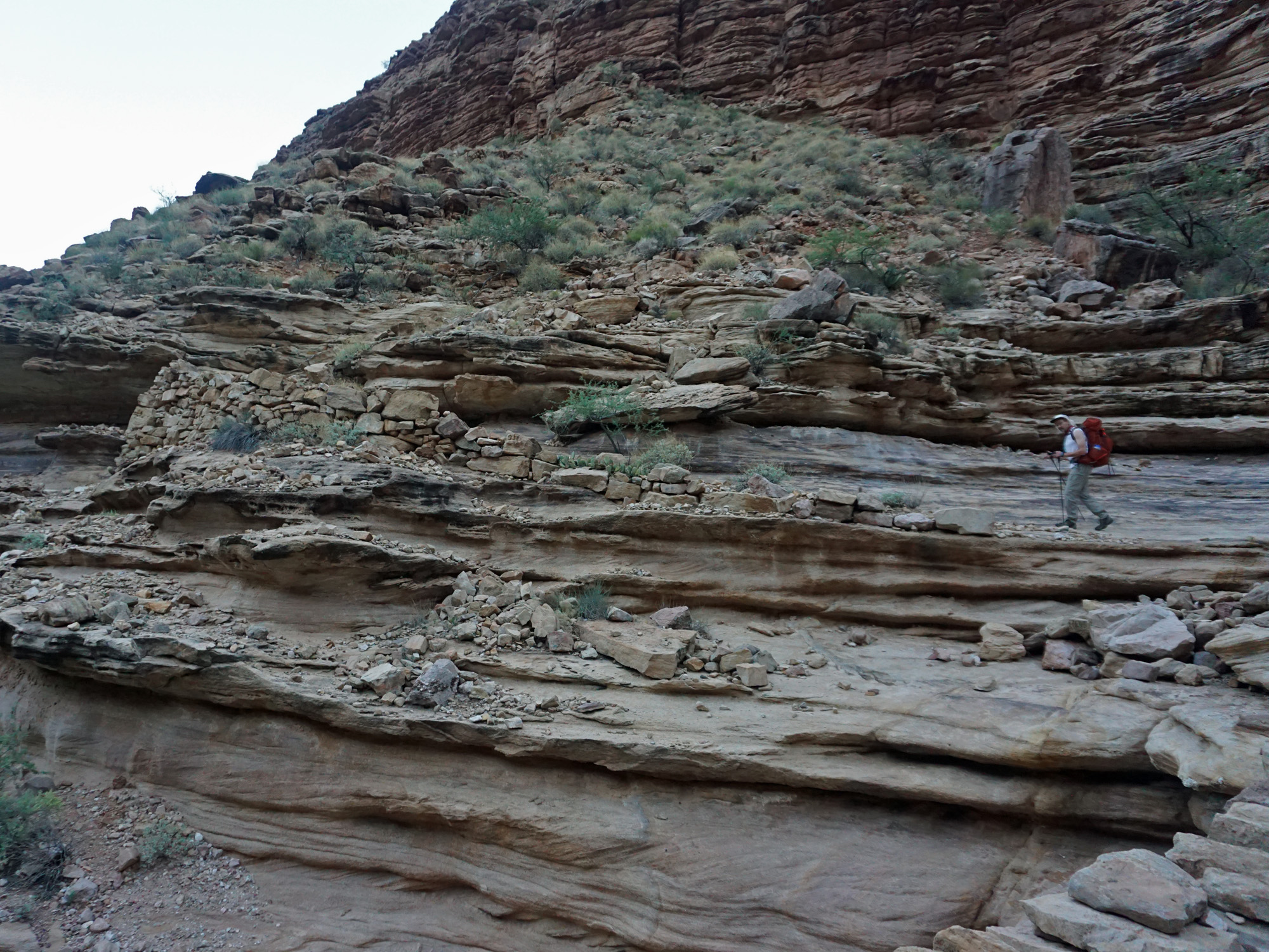 Switchbacks up to the Tonto. |
 Looking back at Monument Creek. |
 Sunrise on the south rim. |
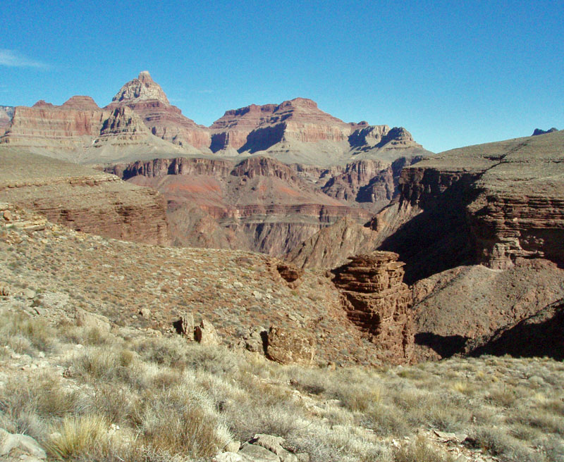
 Tower of Ra (I believe). |
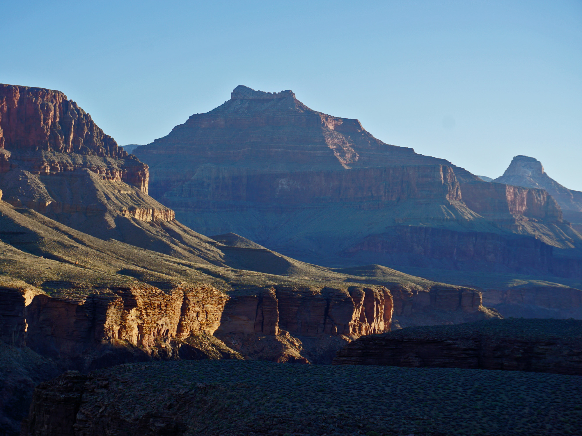 Isis Temple. |
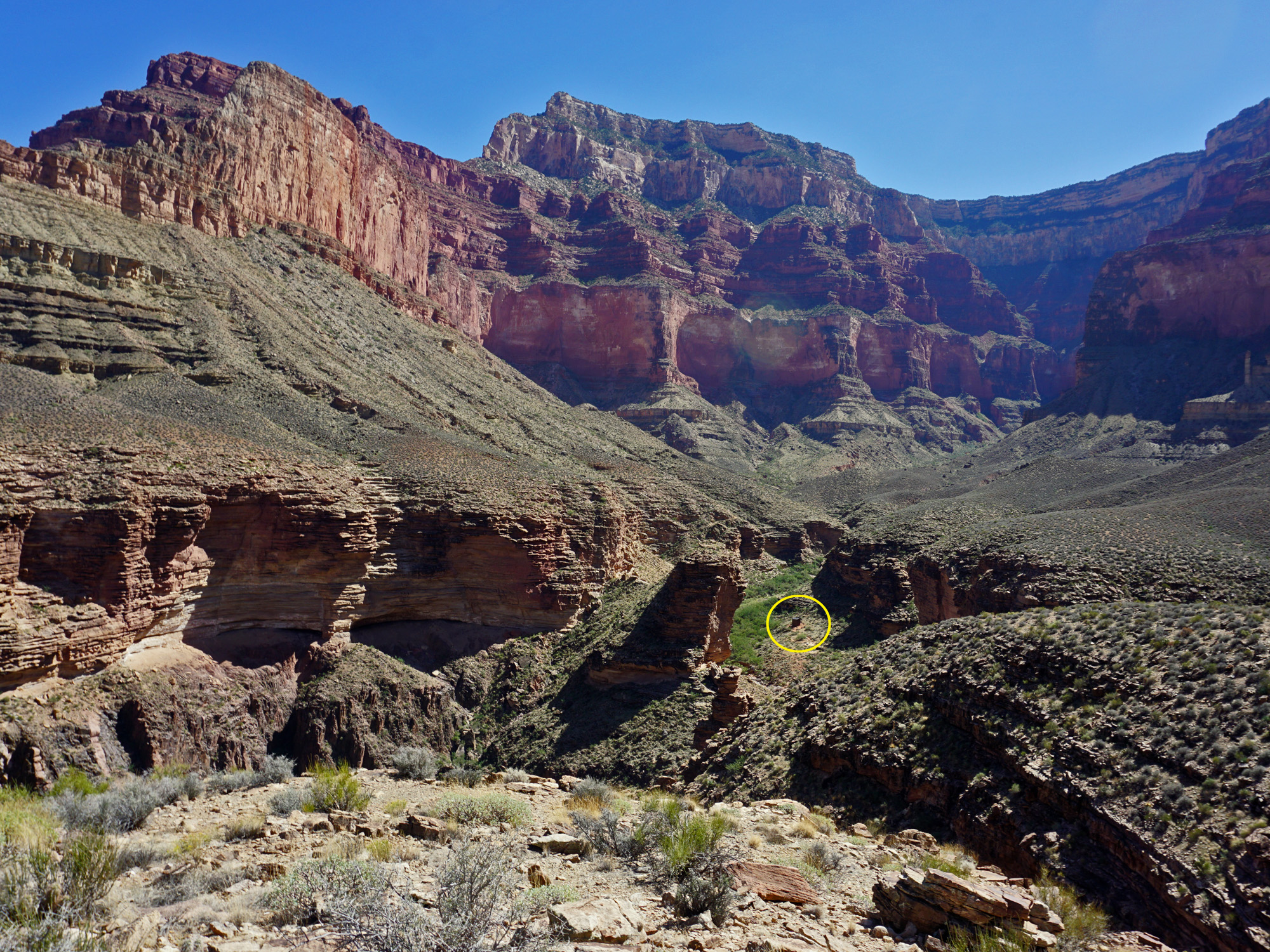
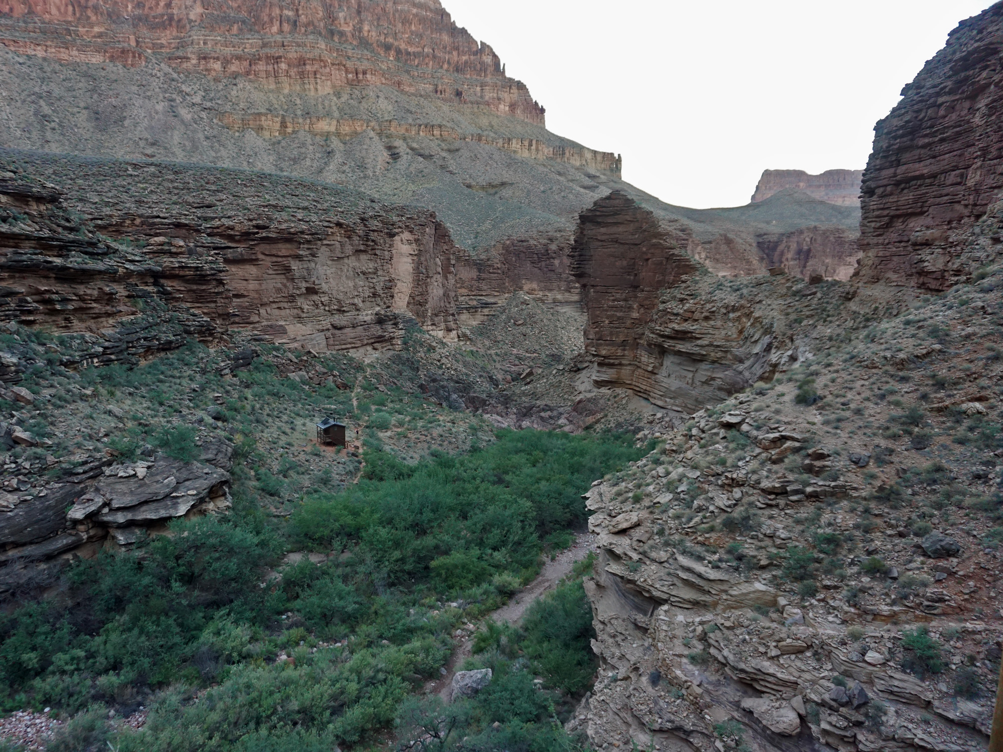
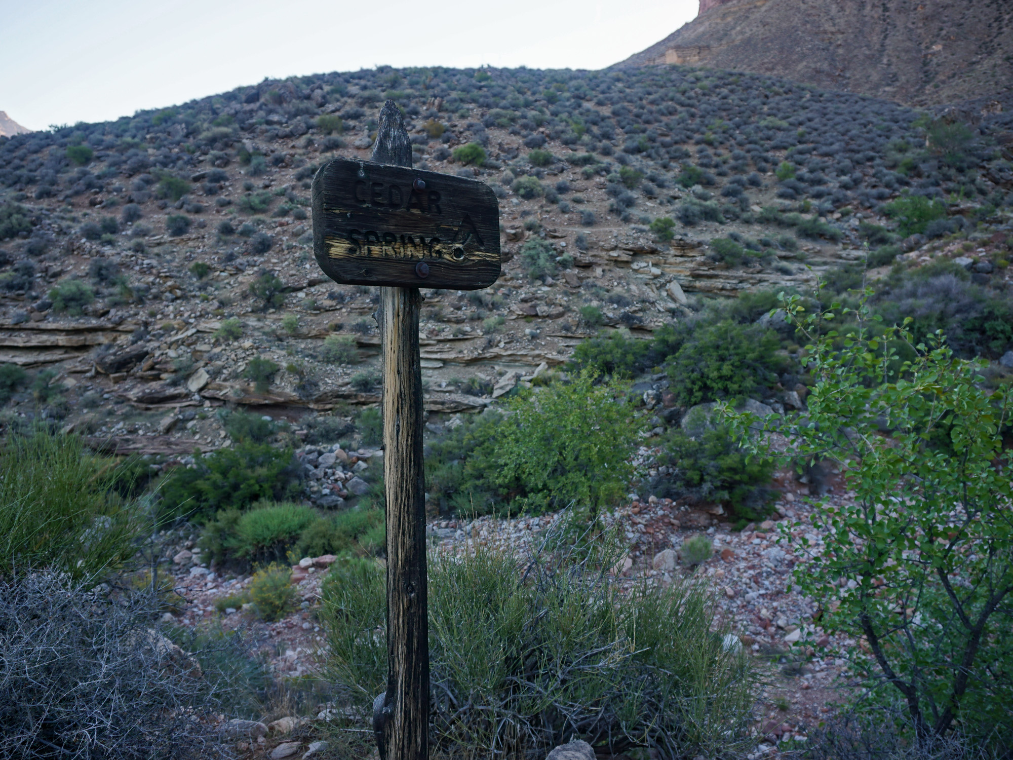 Cedar Spring Camp Site. |
 Campsite and water at Cedar Spring!! |
 But, you wouldn't want to hug it. |
 Salt Creek. |
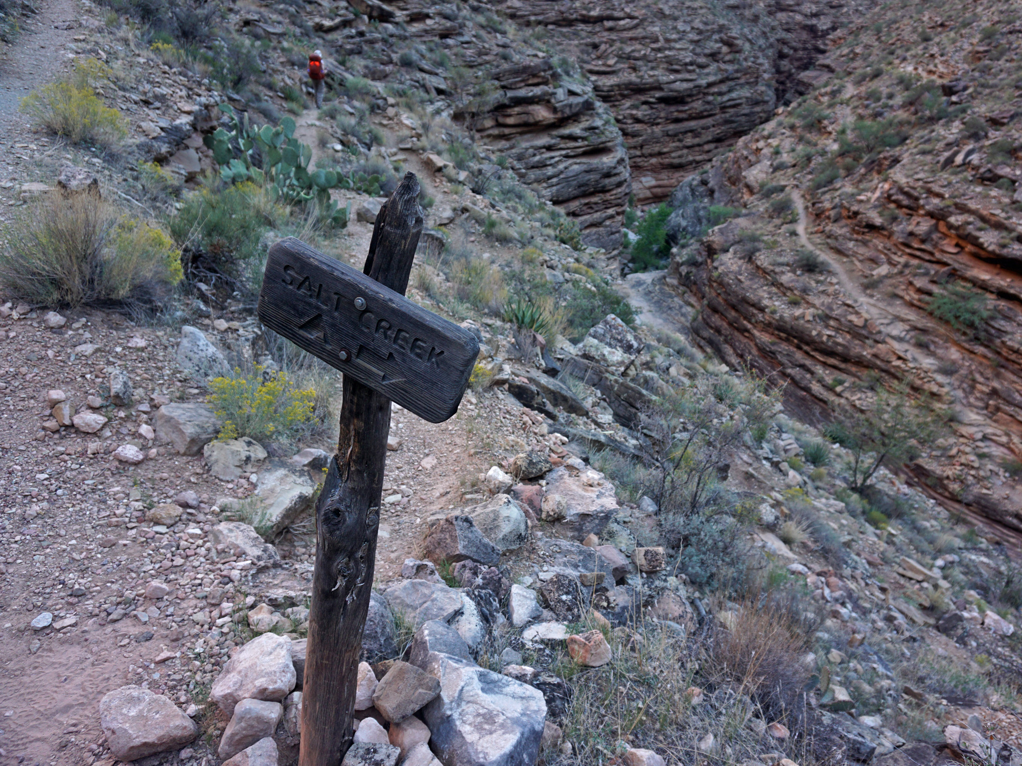 Trail crosses Salt; sign points to camp. |
 On the Tonto Trail. |
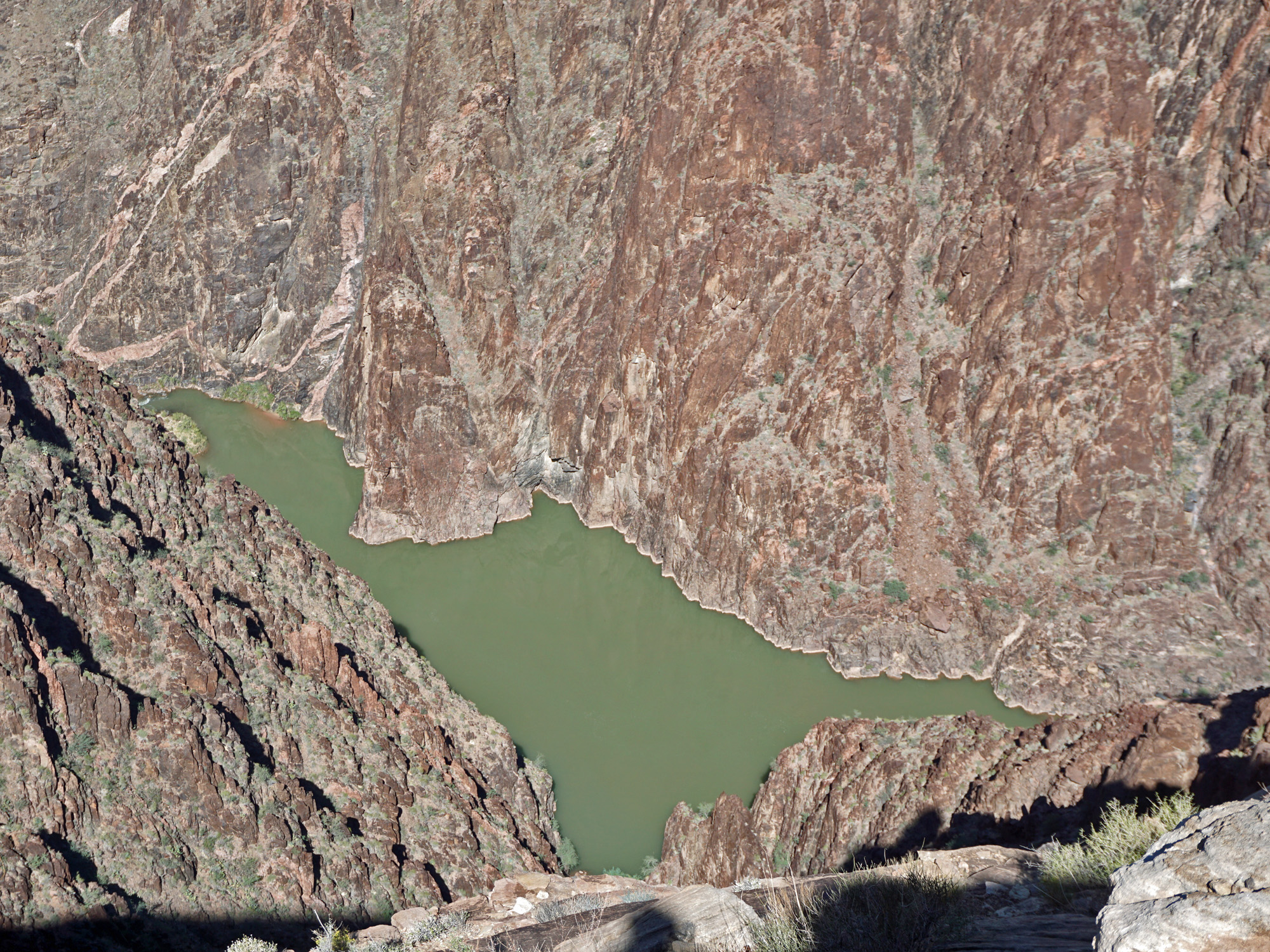 The river was pea soup green. |
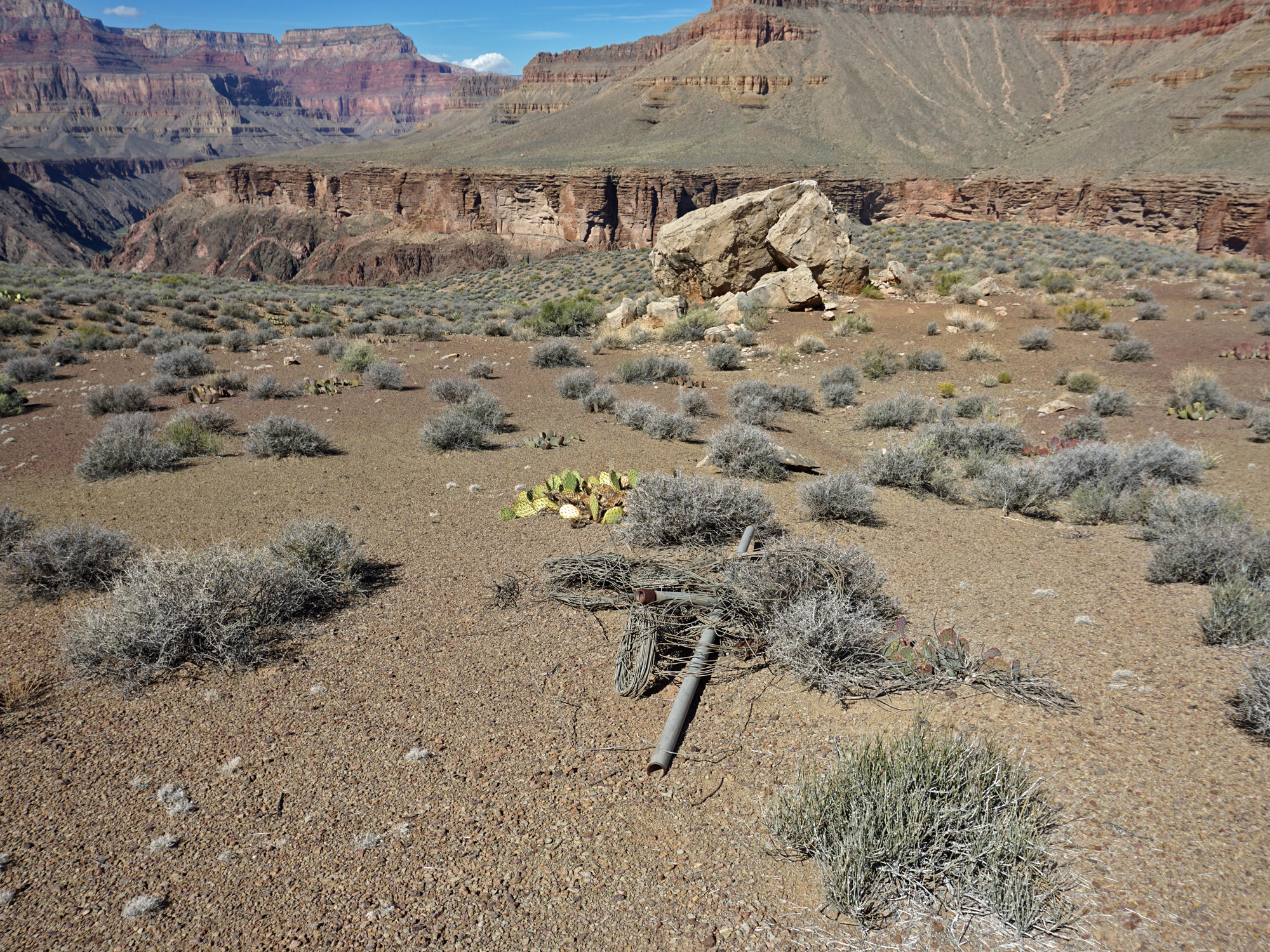 Pipes and wire for old trail? |
 From rim north of Dana Butte. |
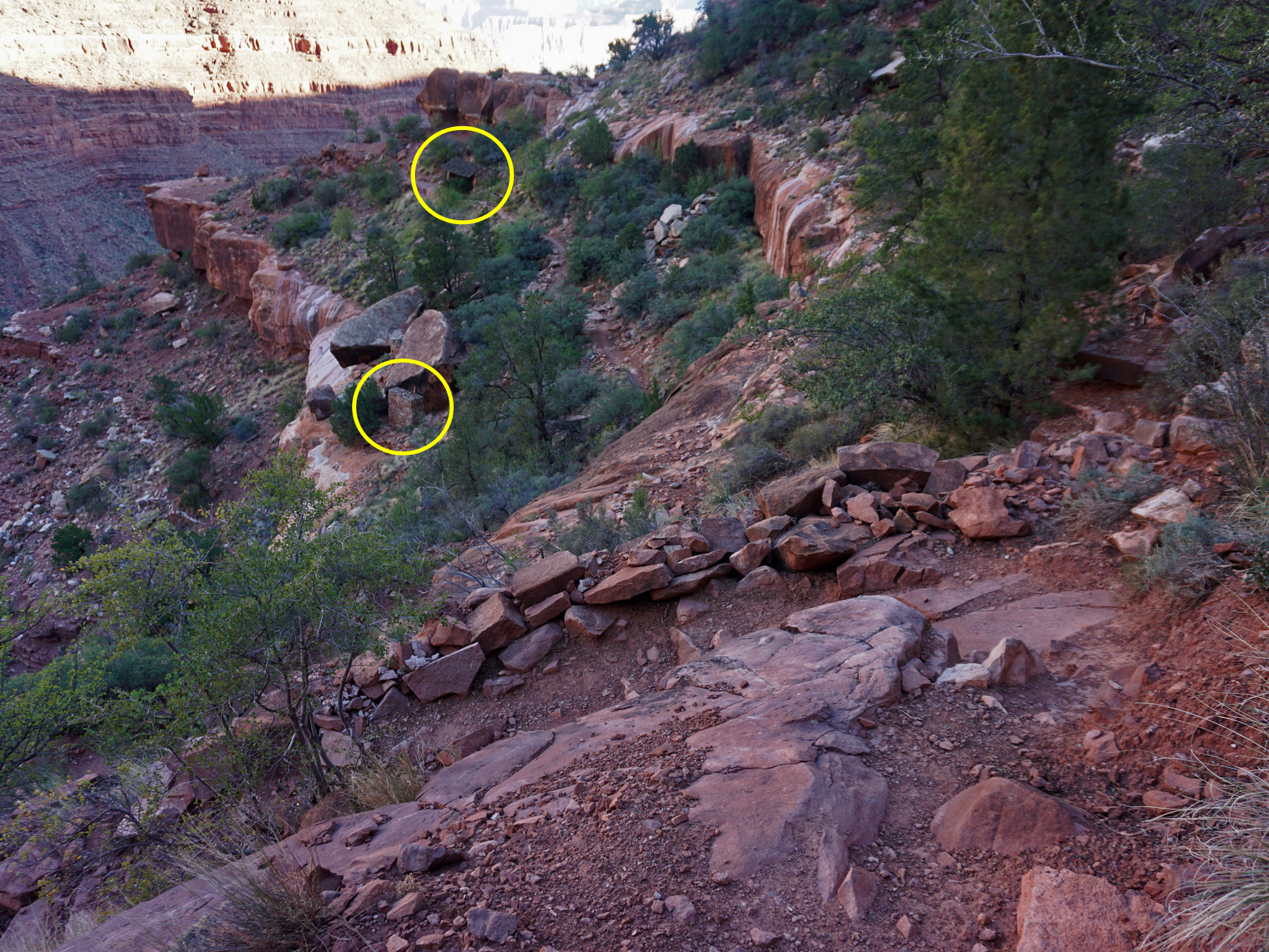
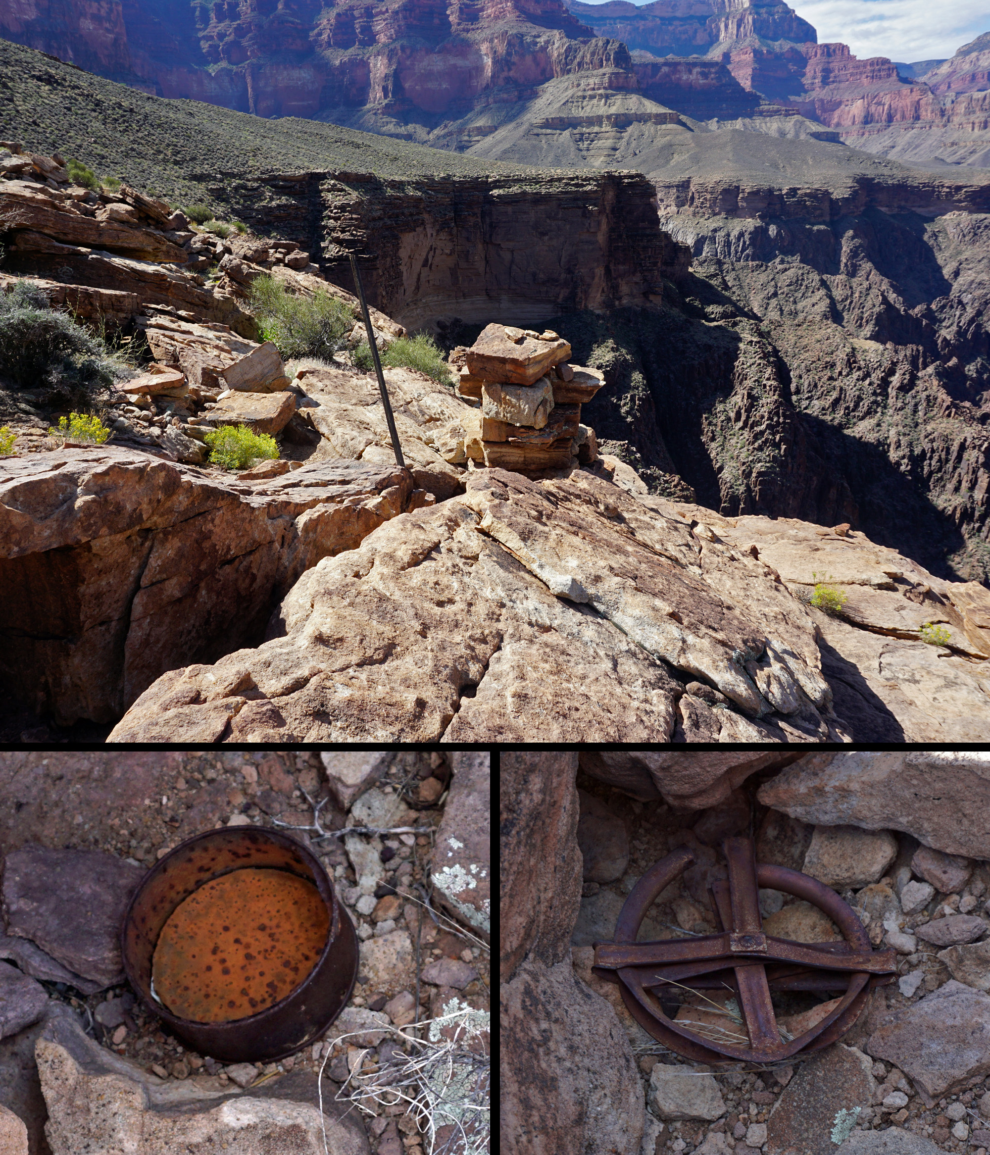 Remains of 1919 tram survey. |
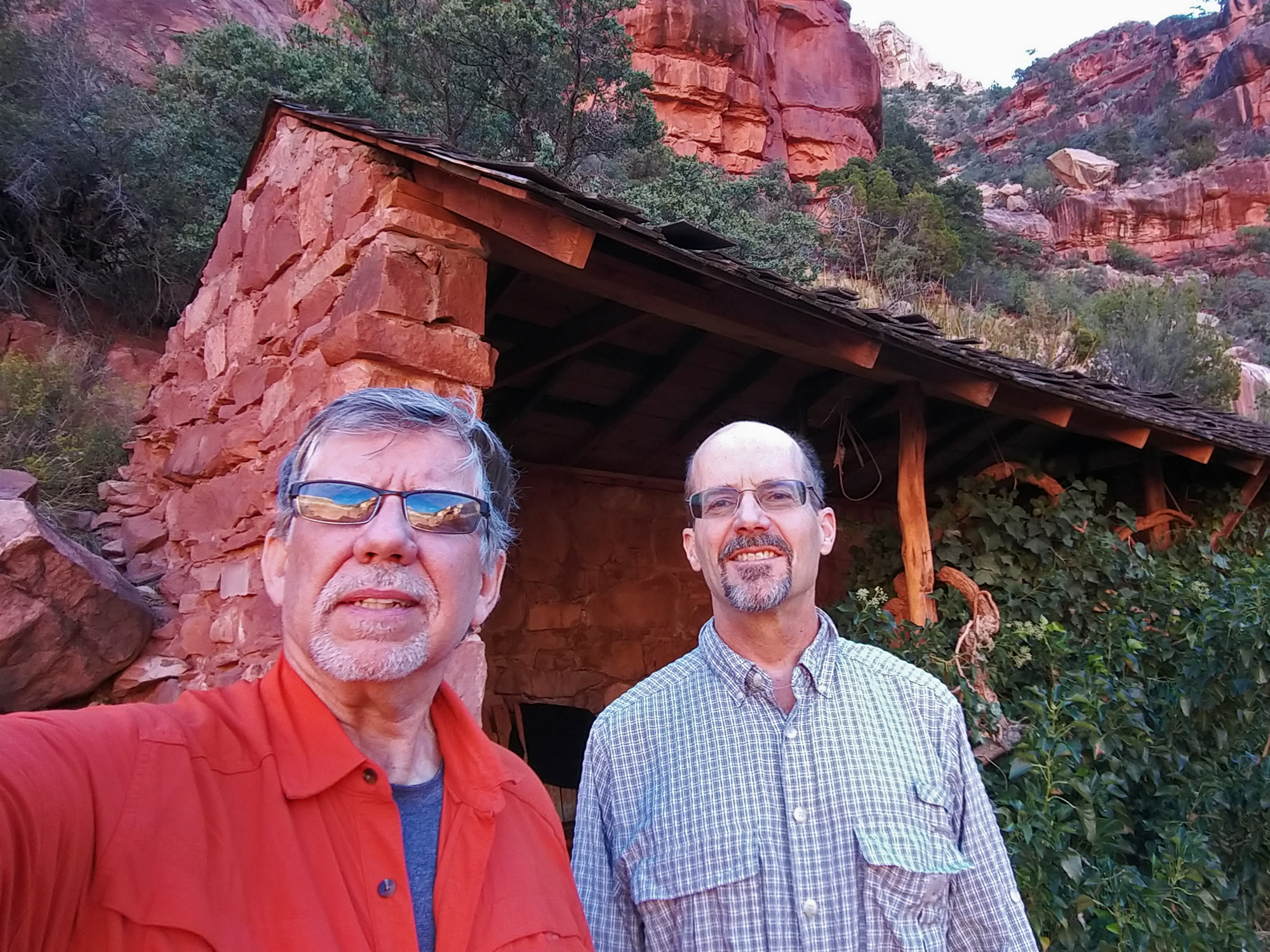
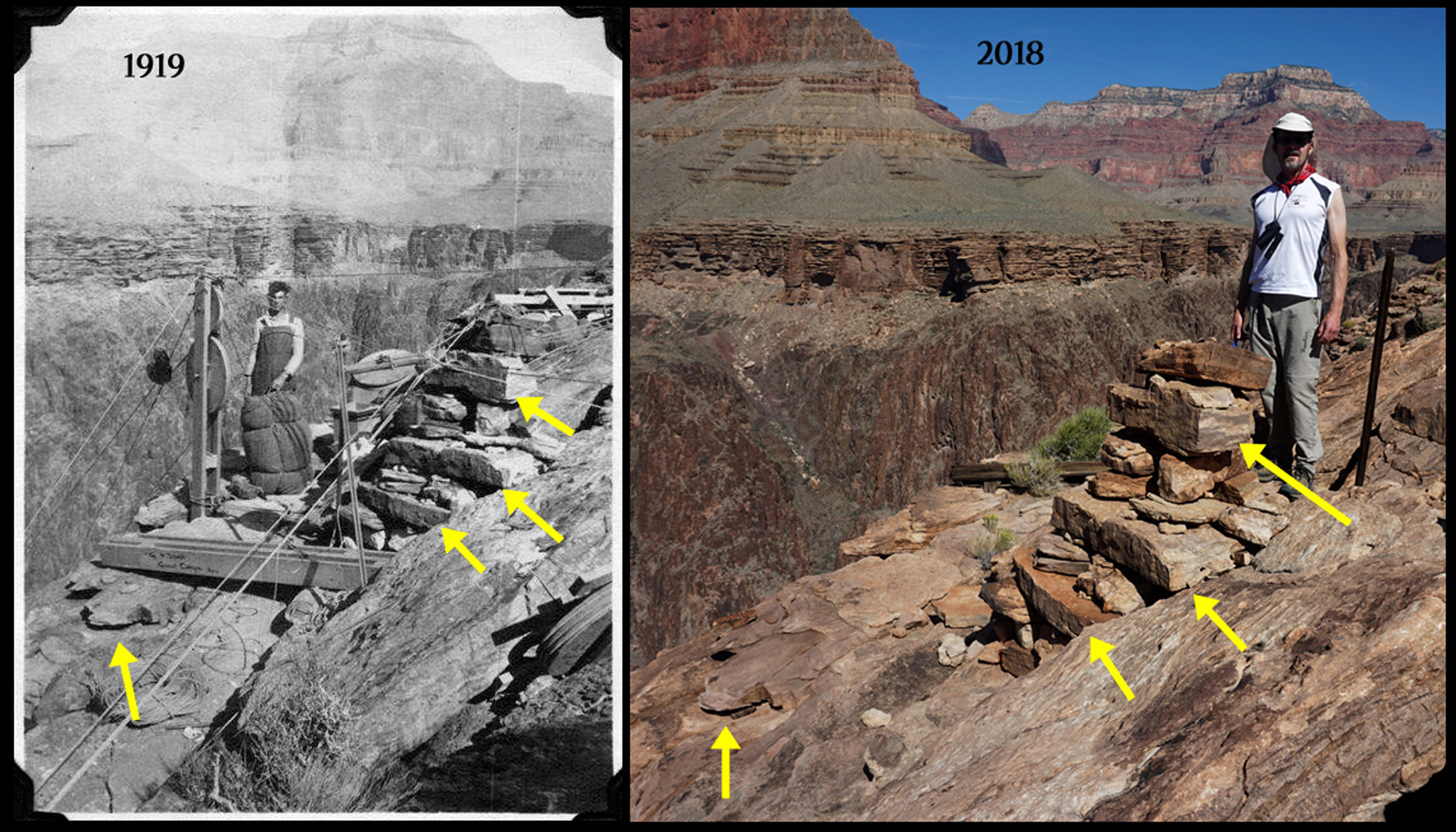 Matching John to 1919 photo of supply tram site north of Dana Butte. |
|
| At 11:10 a.m. we left the site of the old tram. Seventy-five minutes later we reached the bed of Horn Creek. We spent only a few minutes here taking a break from the heat. Then it was on to Indian Garden, which we reached by 1:50 p.m. We stayed here until 3 p.m. relishing the fact that clouds were rolling in and providing some respite from the sun. We made good time hiking up the Bright Angel Trail - we rested at the 3 Mile House from 4 to 4:15 and at the 1.5 Mile House from 5:10 to 5:19. At 6:22 p.m. we topped out at Kolb Studio. |
|
|
||
|
Click on any picture to see a larger image. |
||
|
|
||
|
From the 1919 Tram Survey site to Indian Garden. |
||
|
|
||
 West arm of Horn Creek. |
 Main bed of Horn Creek. |
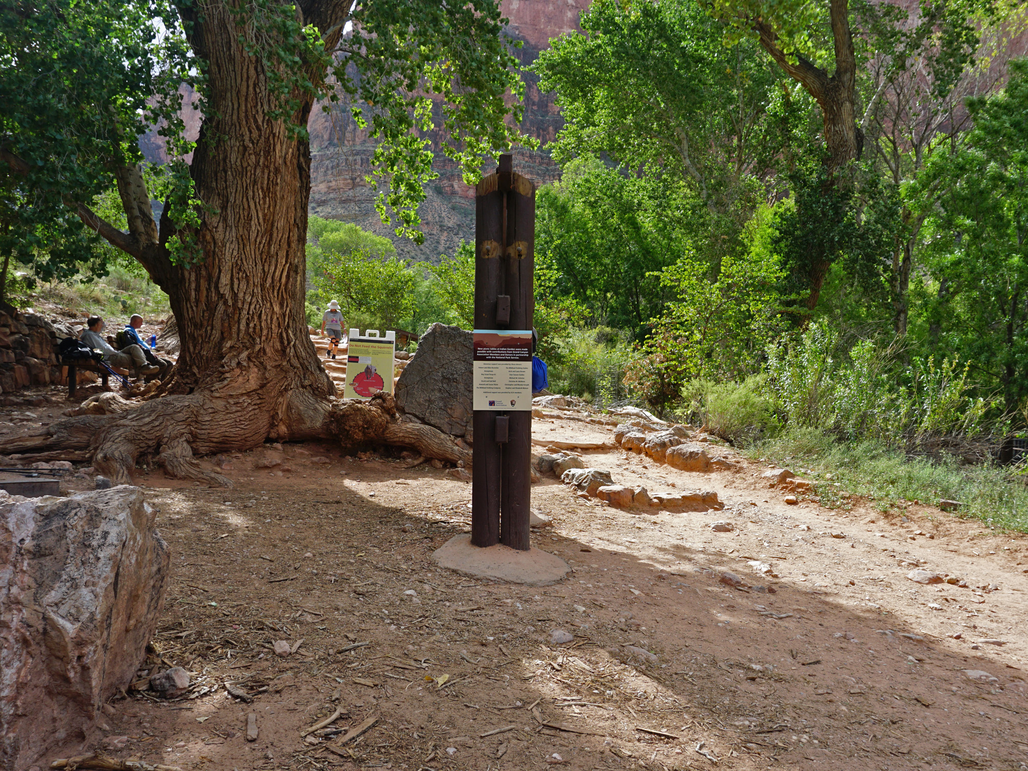 Indian Garden. The tree is no more! |
|
|
||
|
|
Return to Hiking Grand Canyon home page |
|
