 |
|
|
The old
Wash Henry Trail Monday, June 8, 2020 by Dennis Foster |
|
|
|
|
|
|
|
The old
Wash Henry Trail Monday, June 8, 2020 by Dennis Foster |
|
|
|
|
|
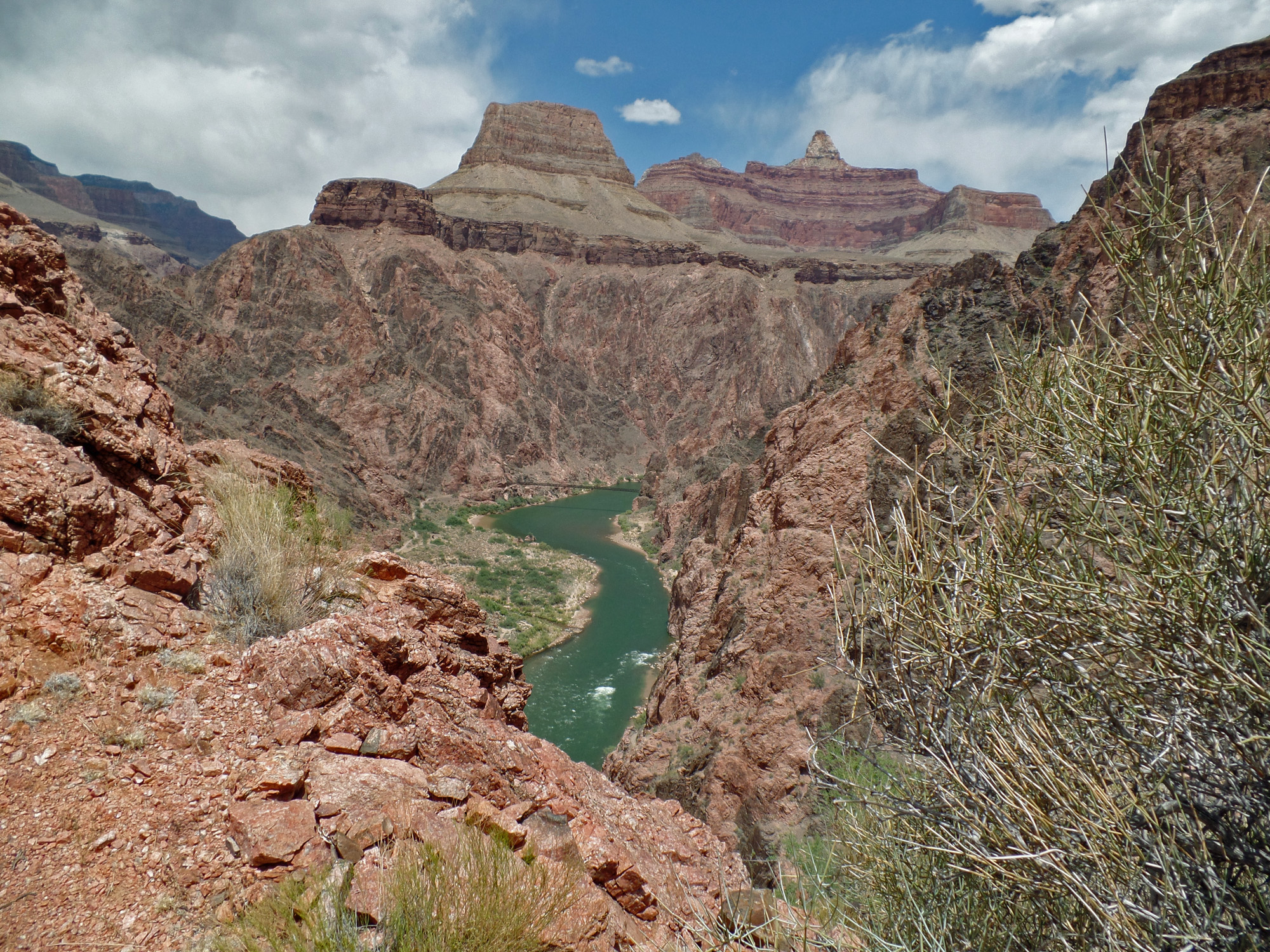
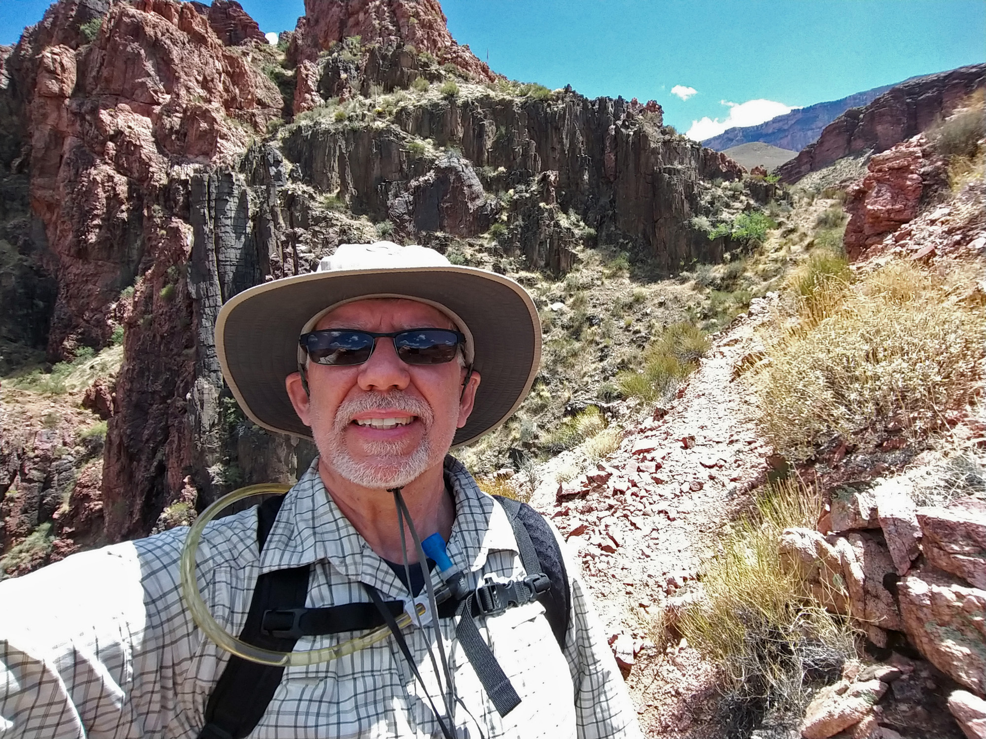
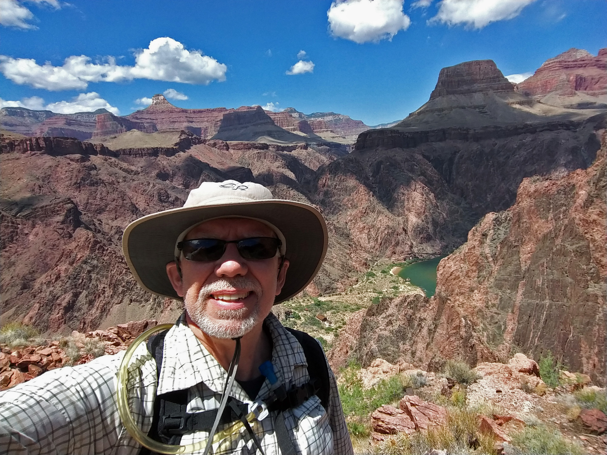
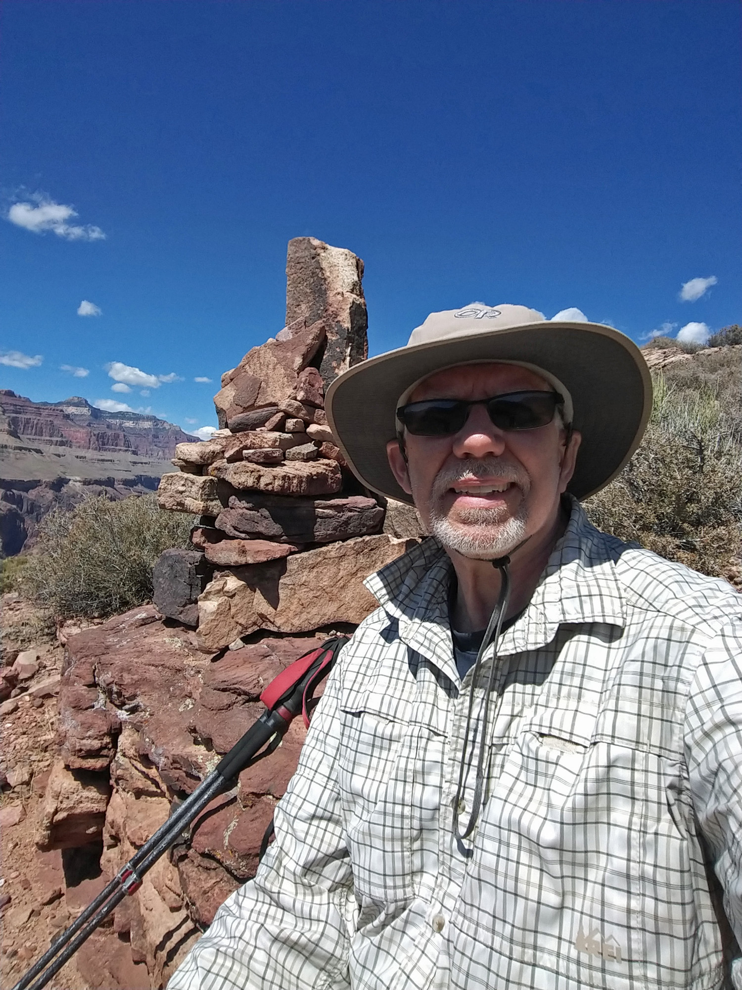
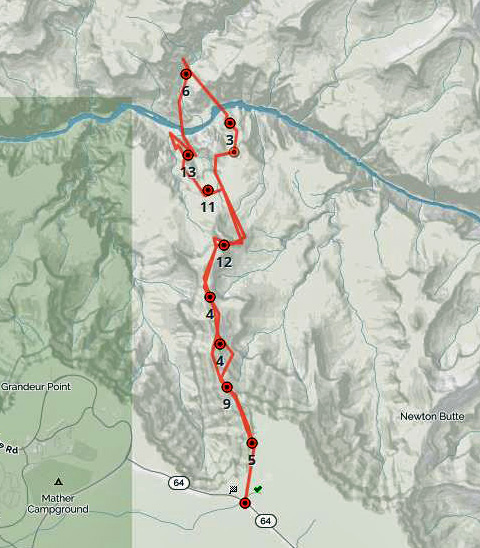
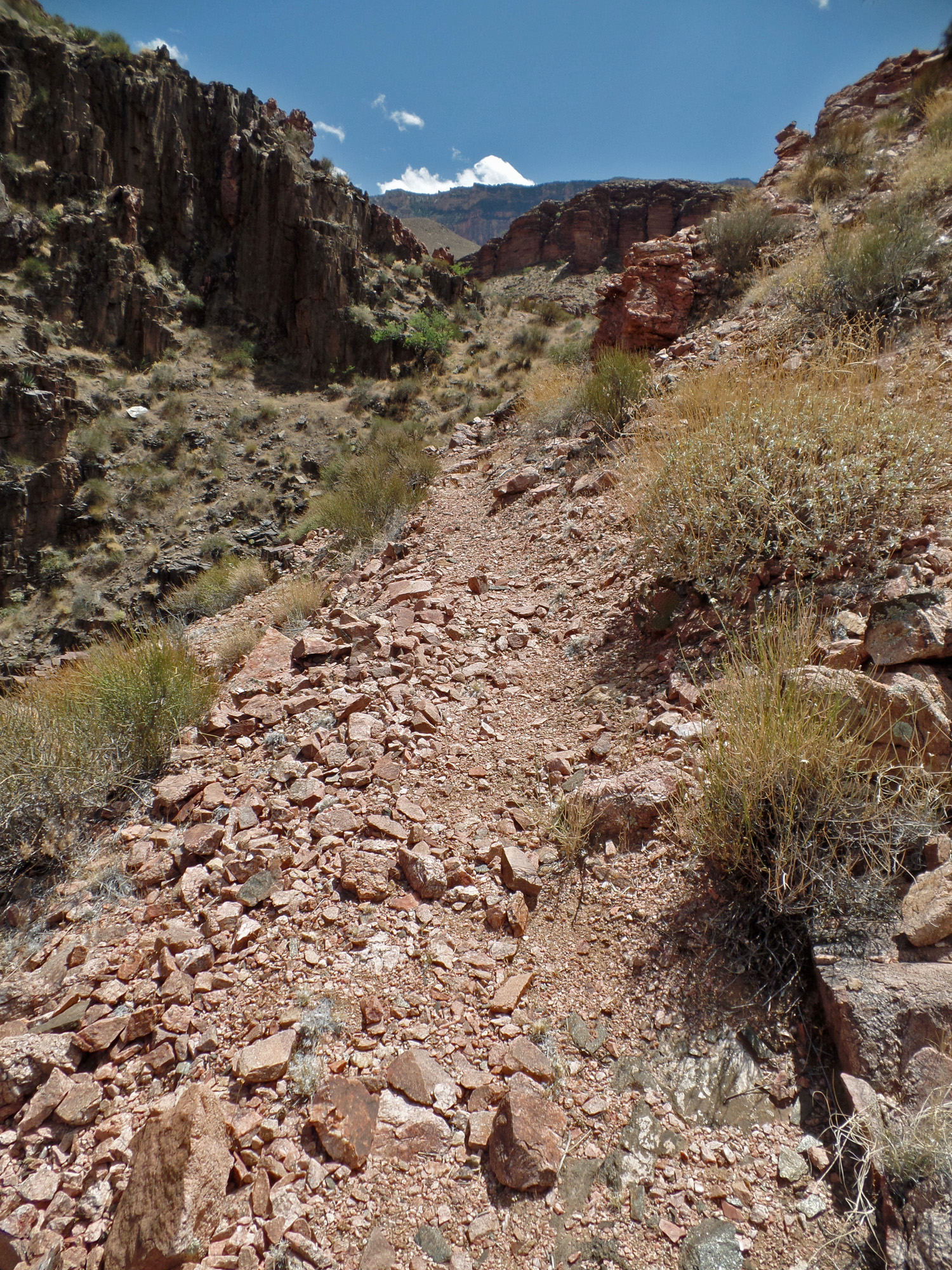
The forecast high for Phantom Ranch for this day was only in the upper 70s!!! Perfect time for a day hike down to the river and back. I was up at 3:30 a.m. and hiking down the South Kaibab at 7:30 a.m. Over the course of the day I saw maybe fifty others on the trail. I cached a liter of water atop the Redwall at 9 a.m. It was very clear most of the day, with more clouds in the afternoon. But very windy, with especially high gusts along exposed sections of the trail. But, nice cool temperatures. Even down in the schist, when there wasn’t much of a breeze, it was very comfortable. I came back up a different route and reached the junction of the Tonto Trail with the South Kaibab Trail at 3:30 p.m. It took me an hour to get to Skeleton Point. After a twenty minute break I took another hour to hike up to Cedar Ridge. From here I could see that there was a fire on the north rim, with smoke shrouding the upper reaches of Bright Angel Canyon. After a fifteen minute break here I was on my final leg of this 15 mile day. It took me another hour to reach the rim at 7 p.m. The switchbacks in the Kaibab limestone were absolutely chilly! This is June? From here I had to walk to the nearby picnic area where I parked. Forty minutes after topping out of the canyon I was on my way back home to Flagstaff. * * * * * * |
|
|
||
|
Click on any picture to see a larger image. |
||
|
|
||
|
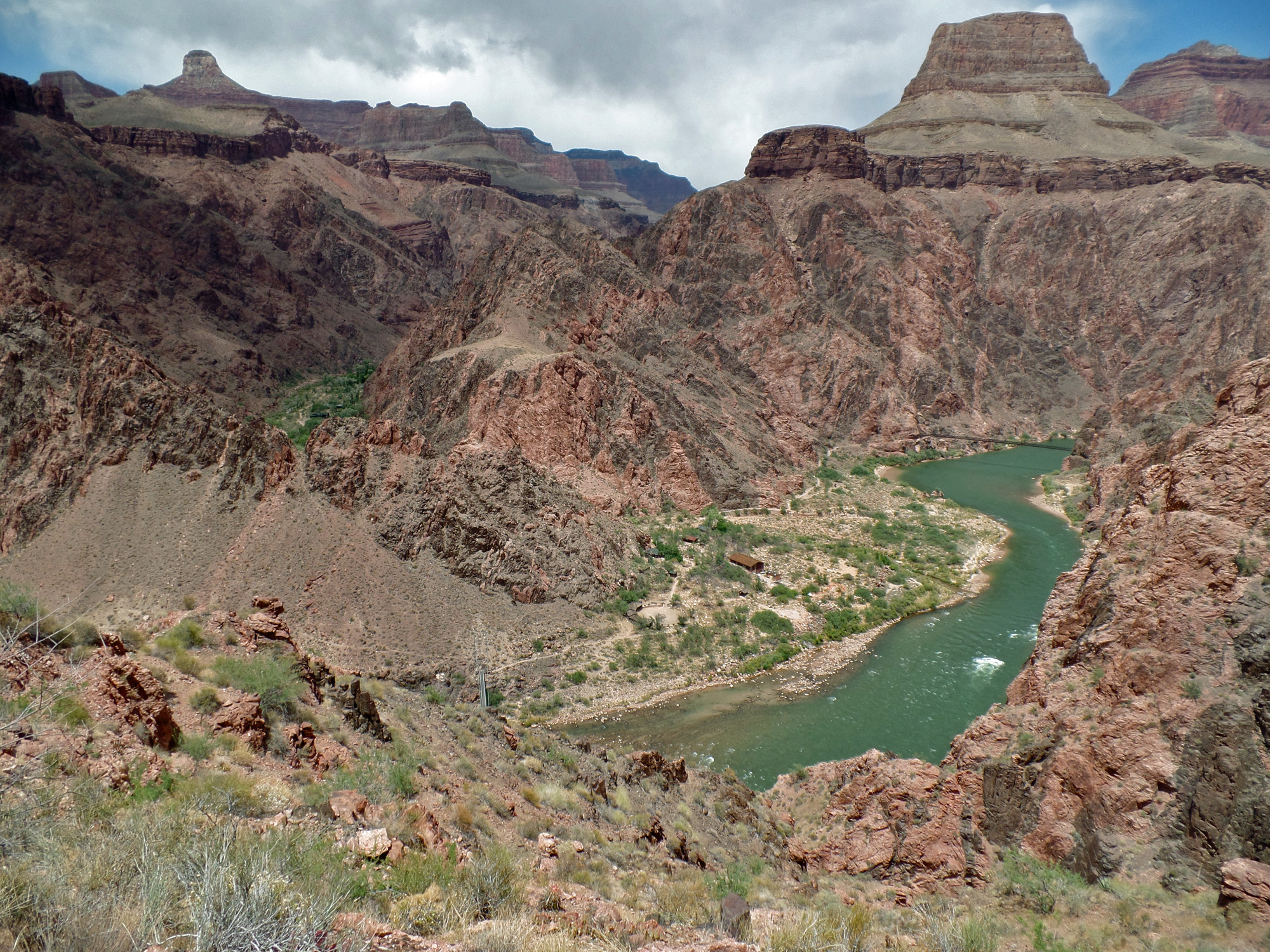
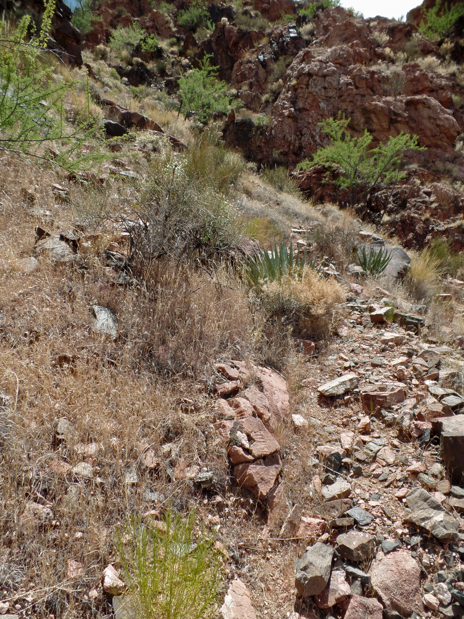
From the River Trail to the low saddle |
||
|
|
||
 |
 |
 |
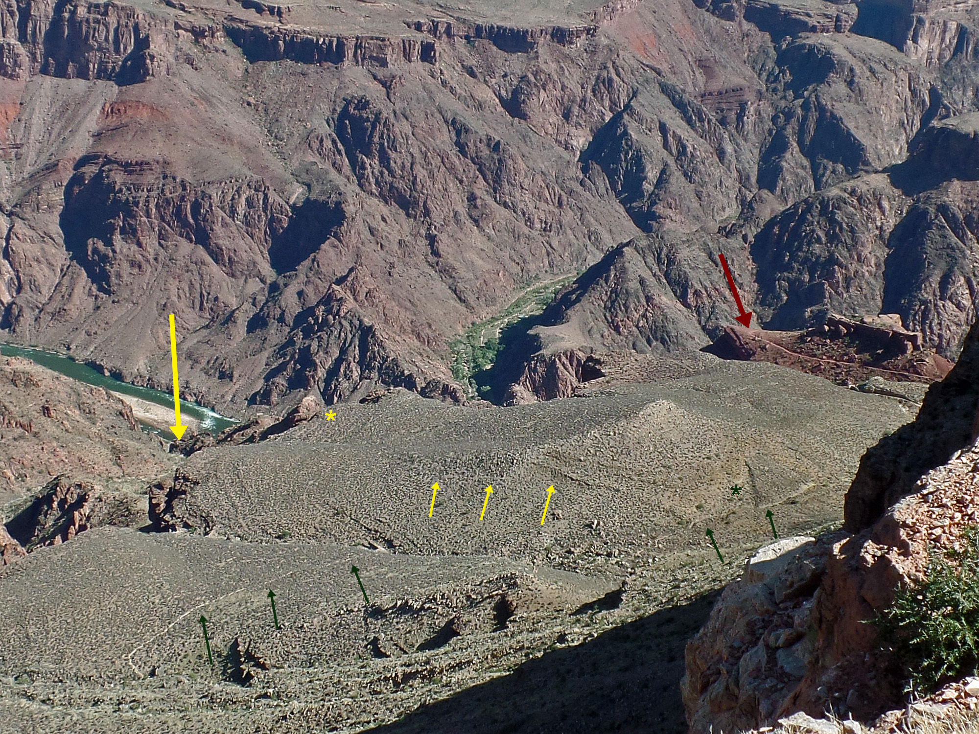
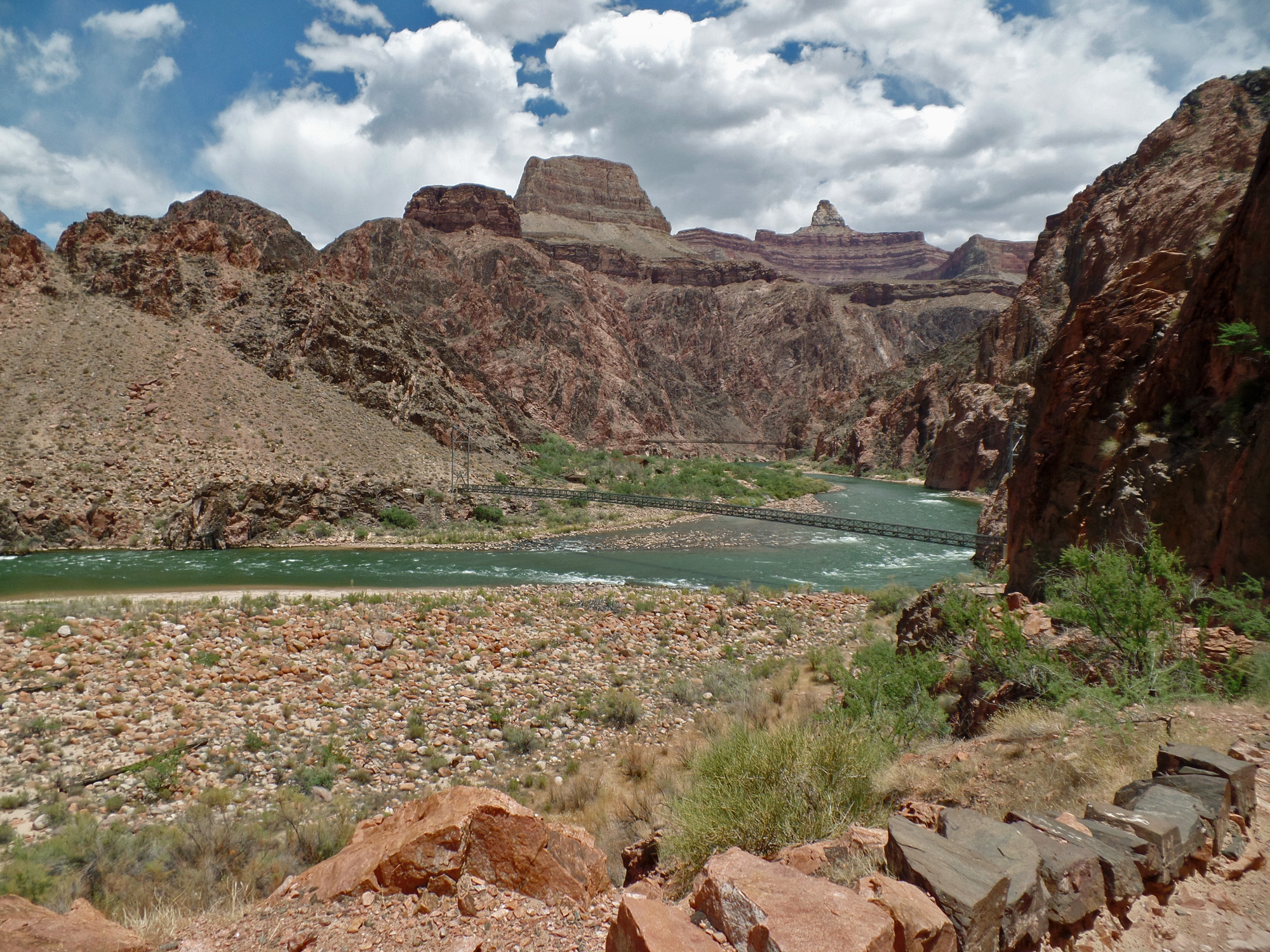
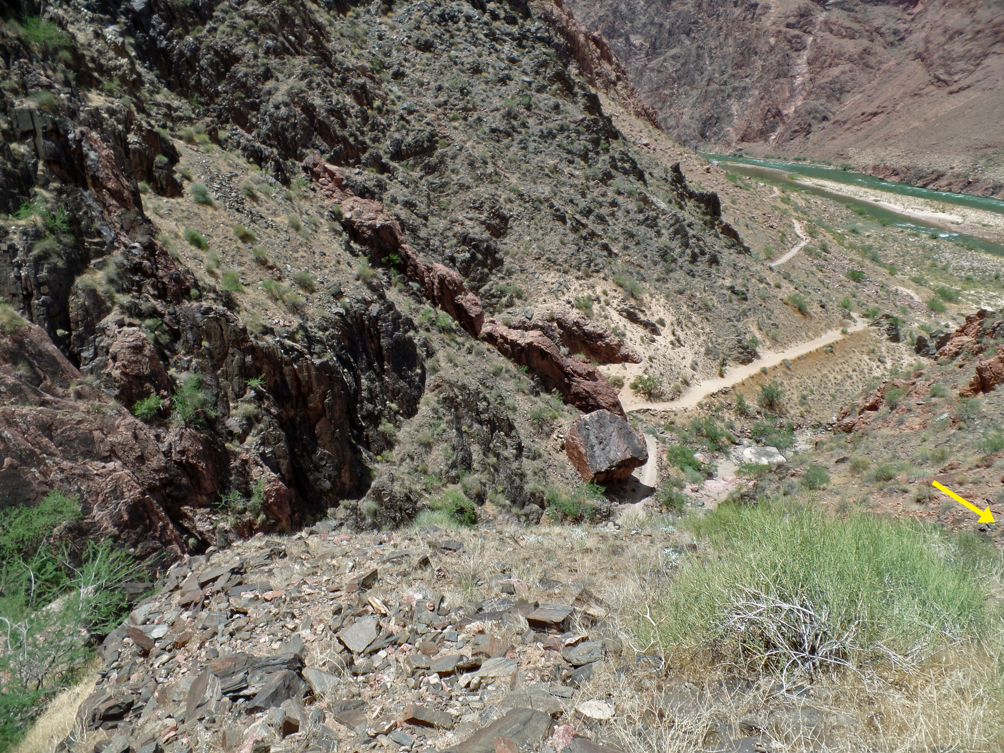
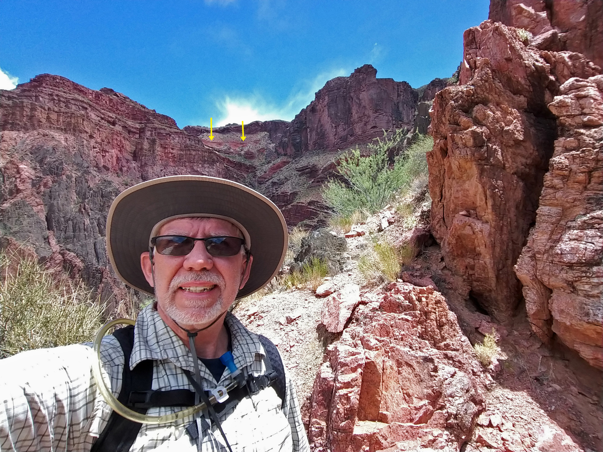
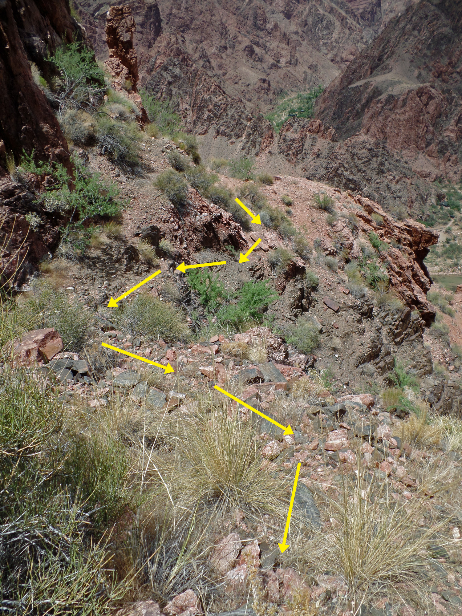
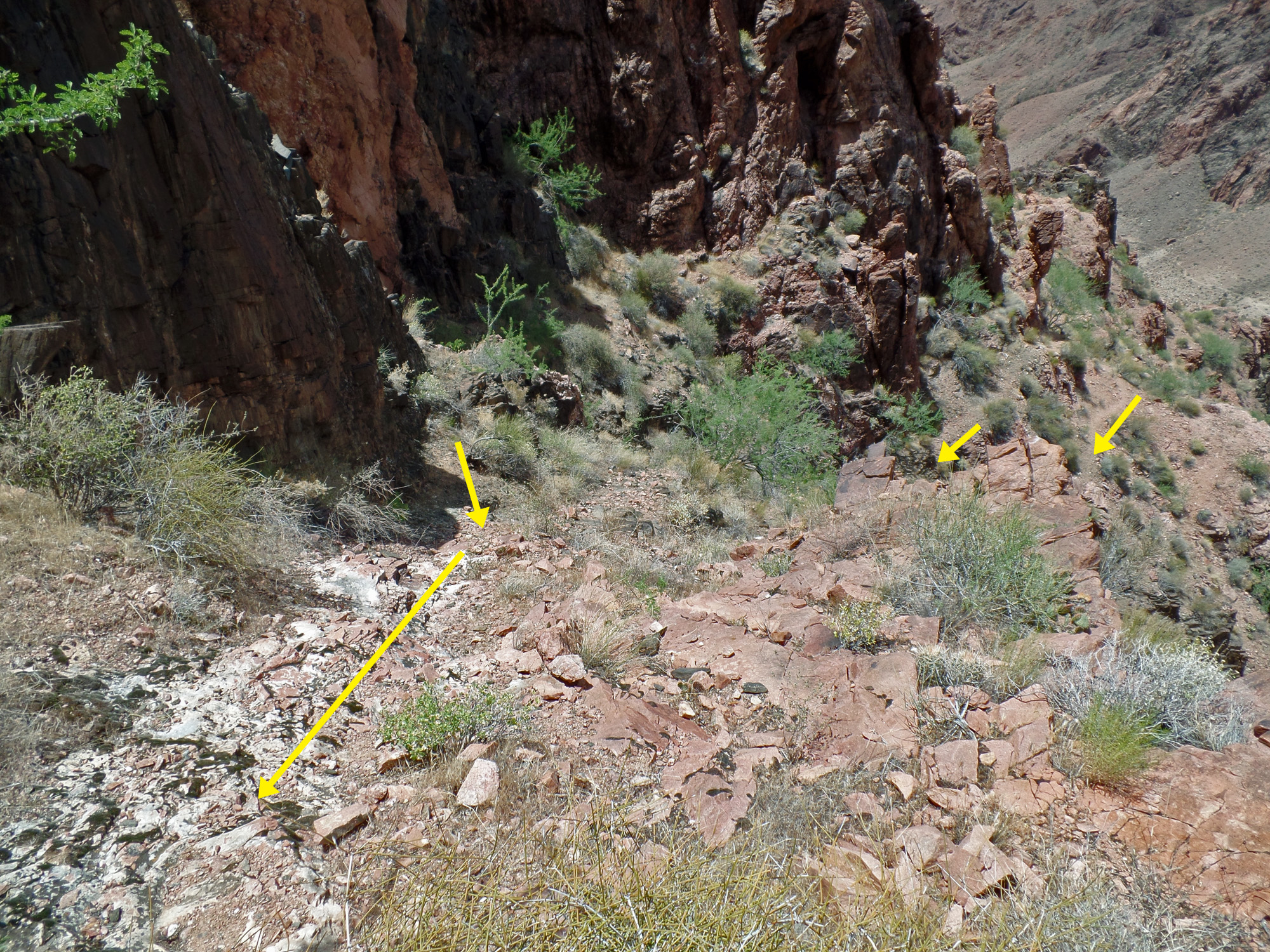
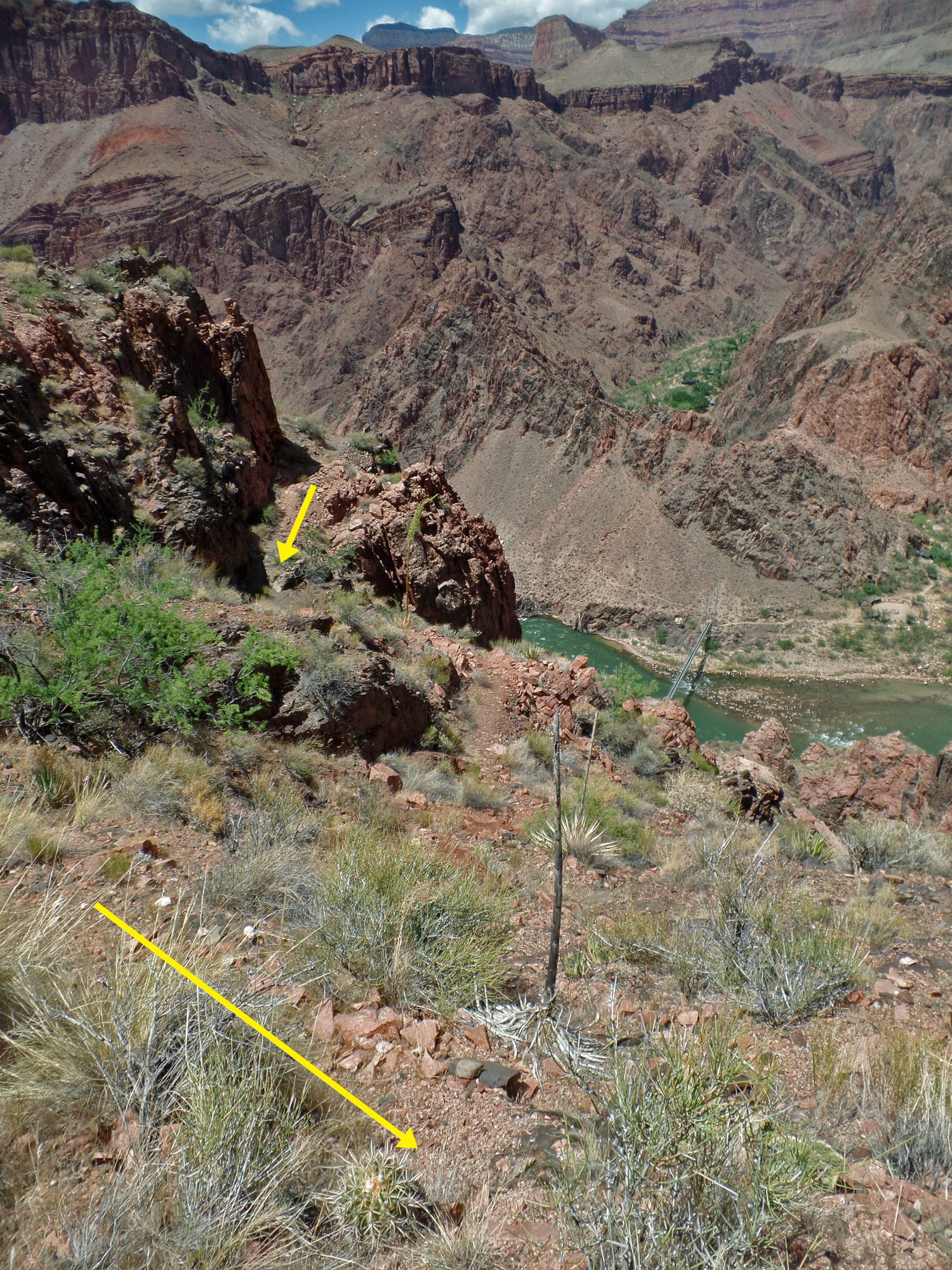
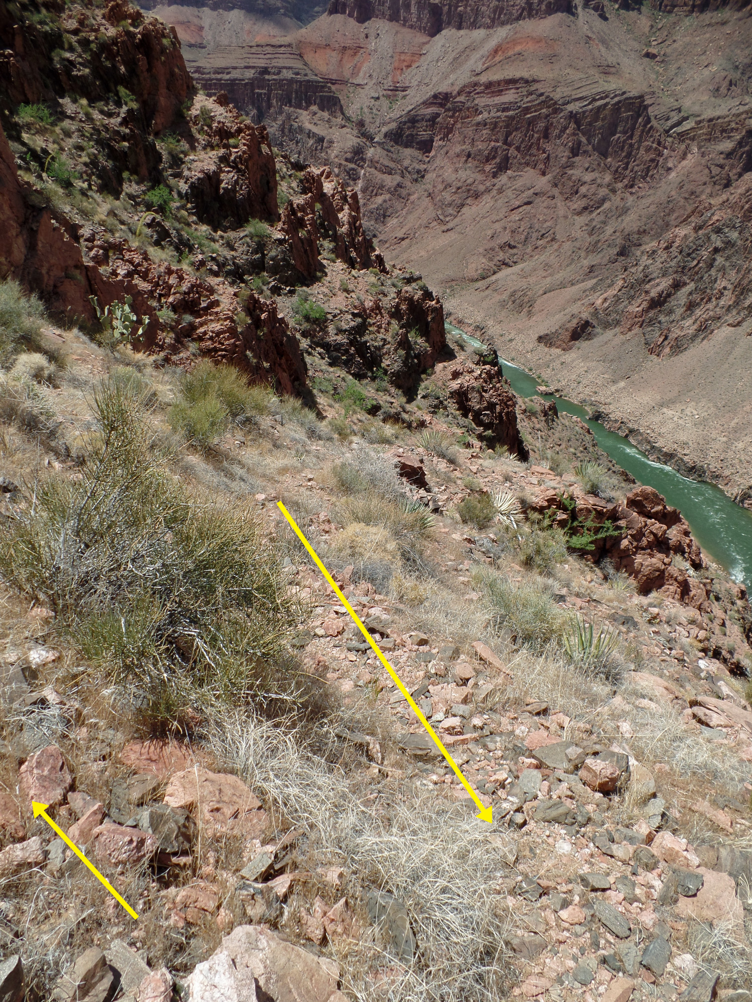
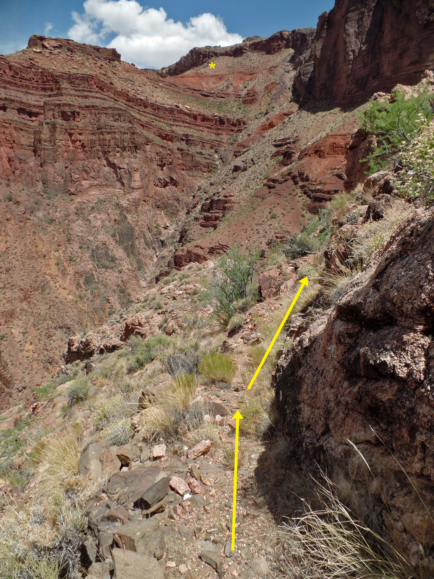
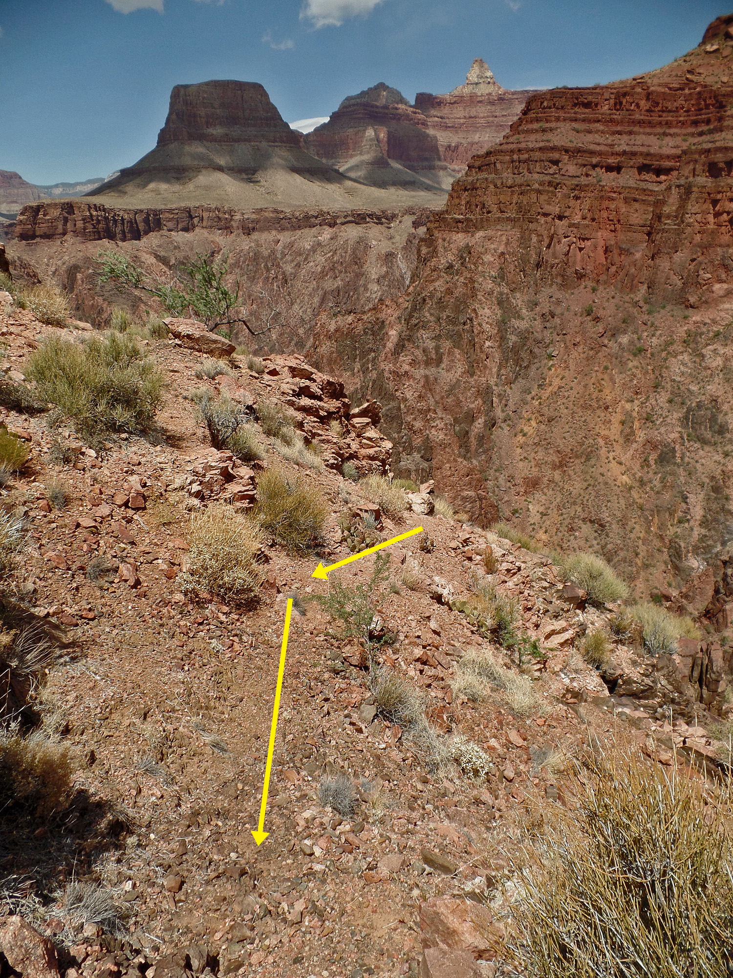
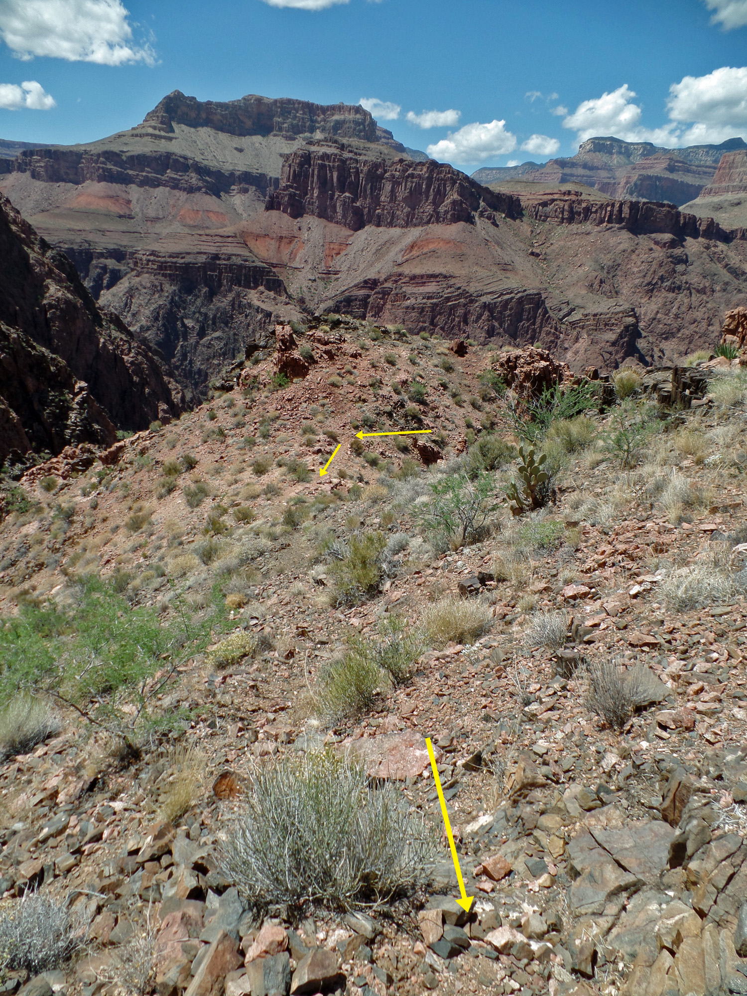
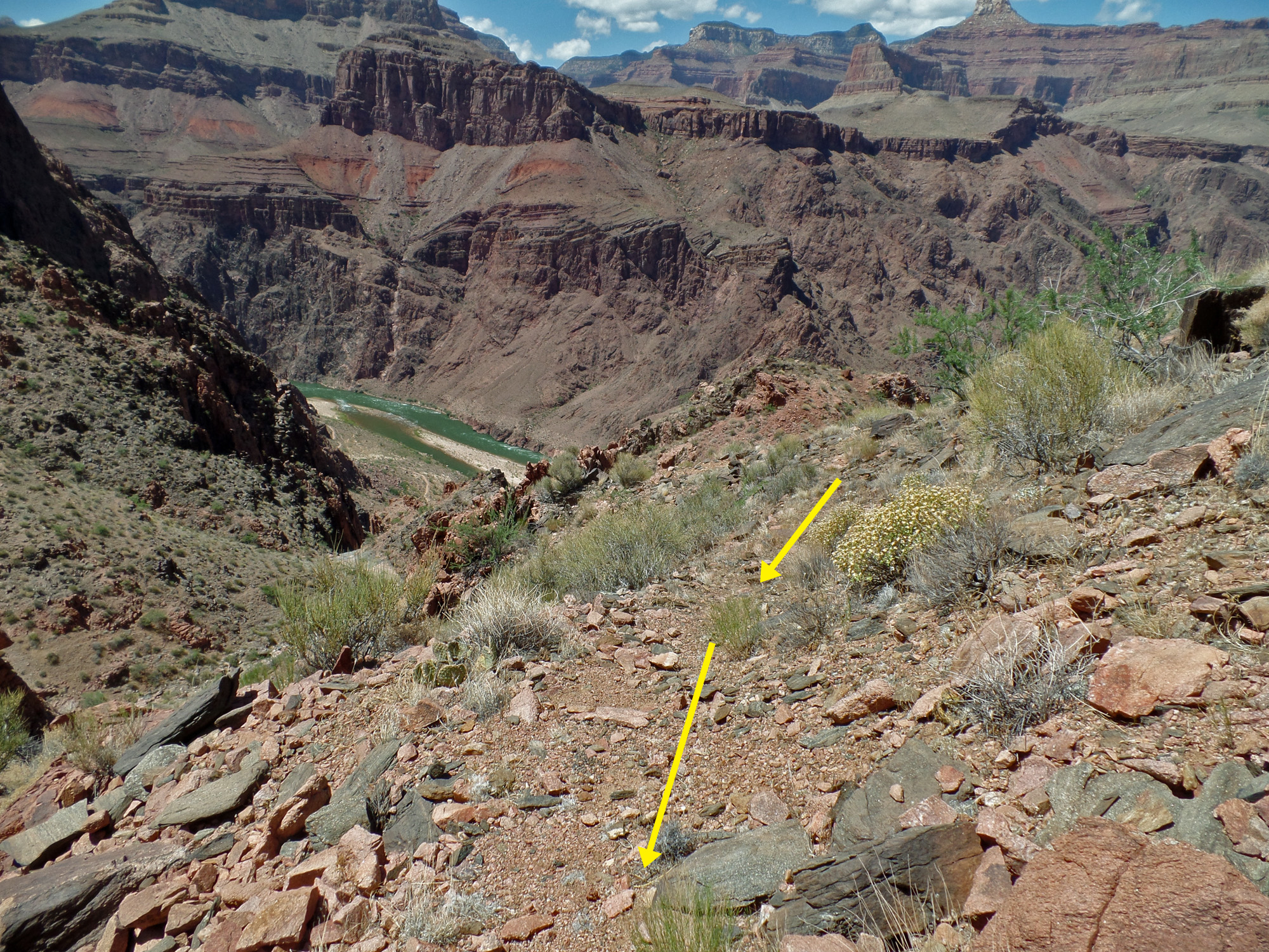
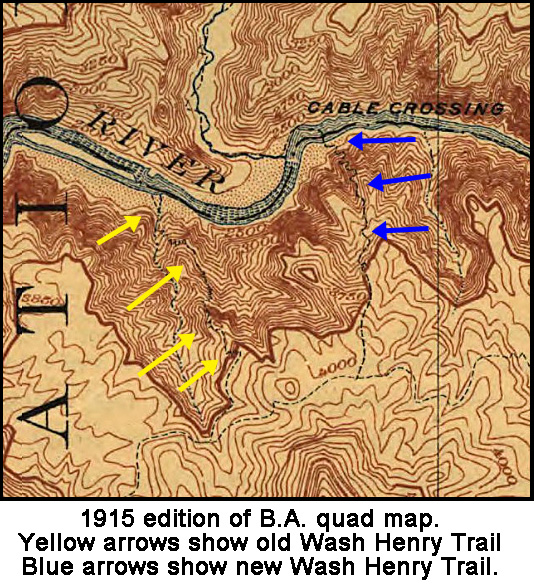
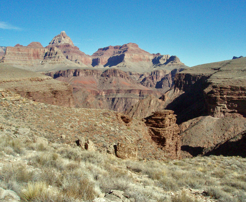
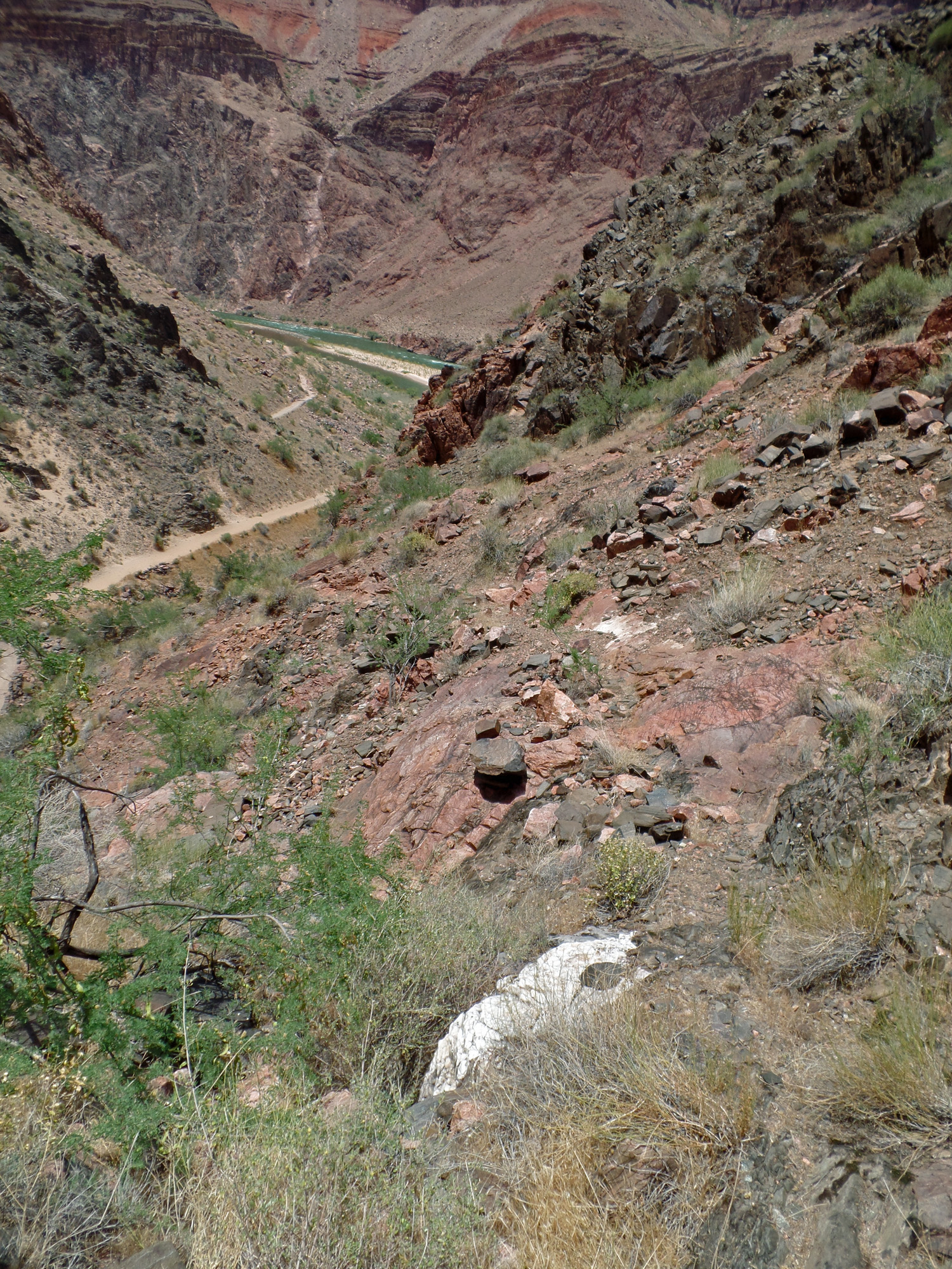
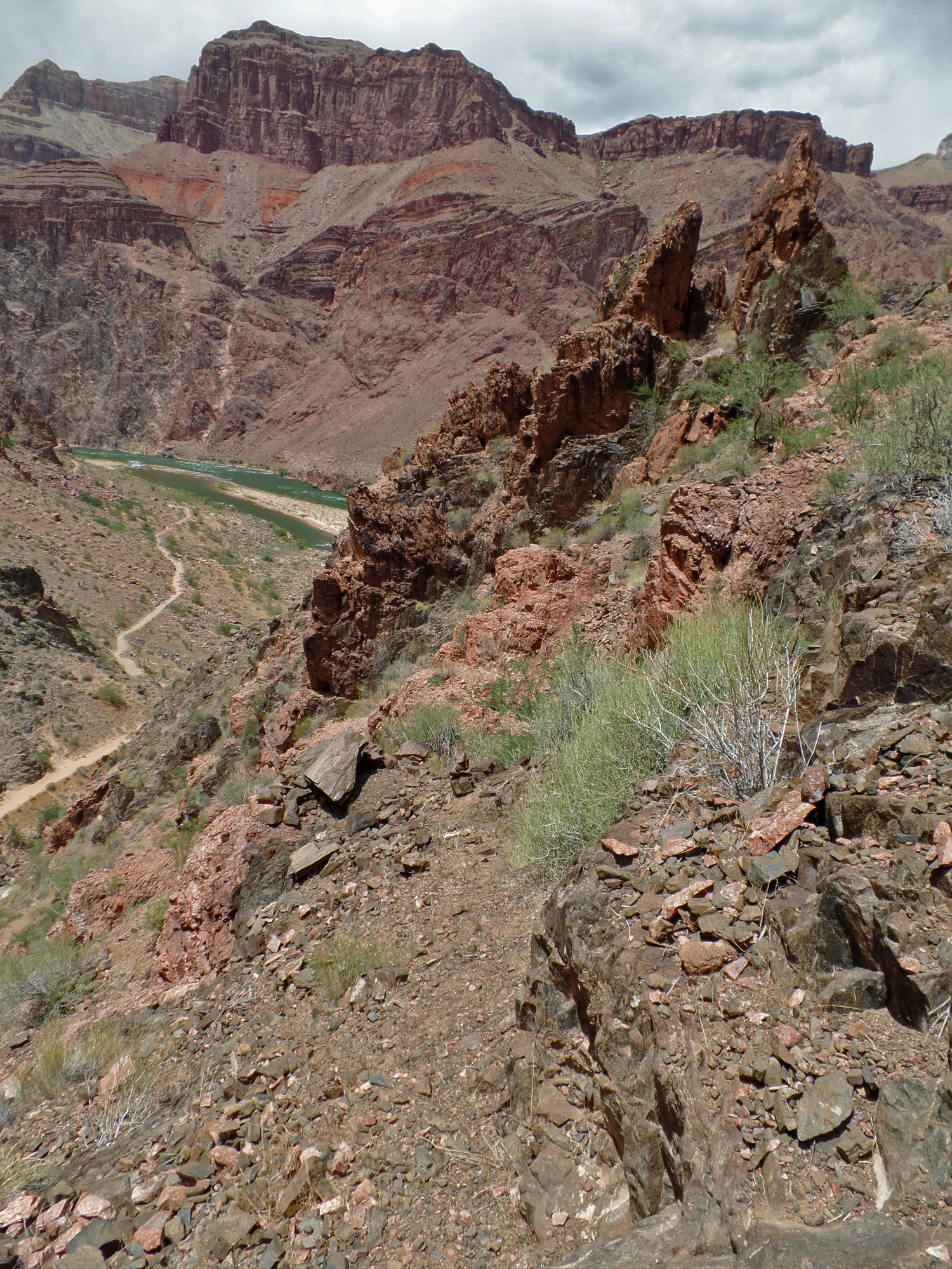
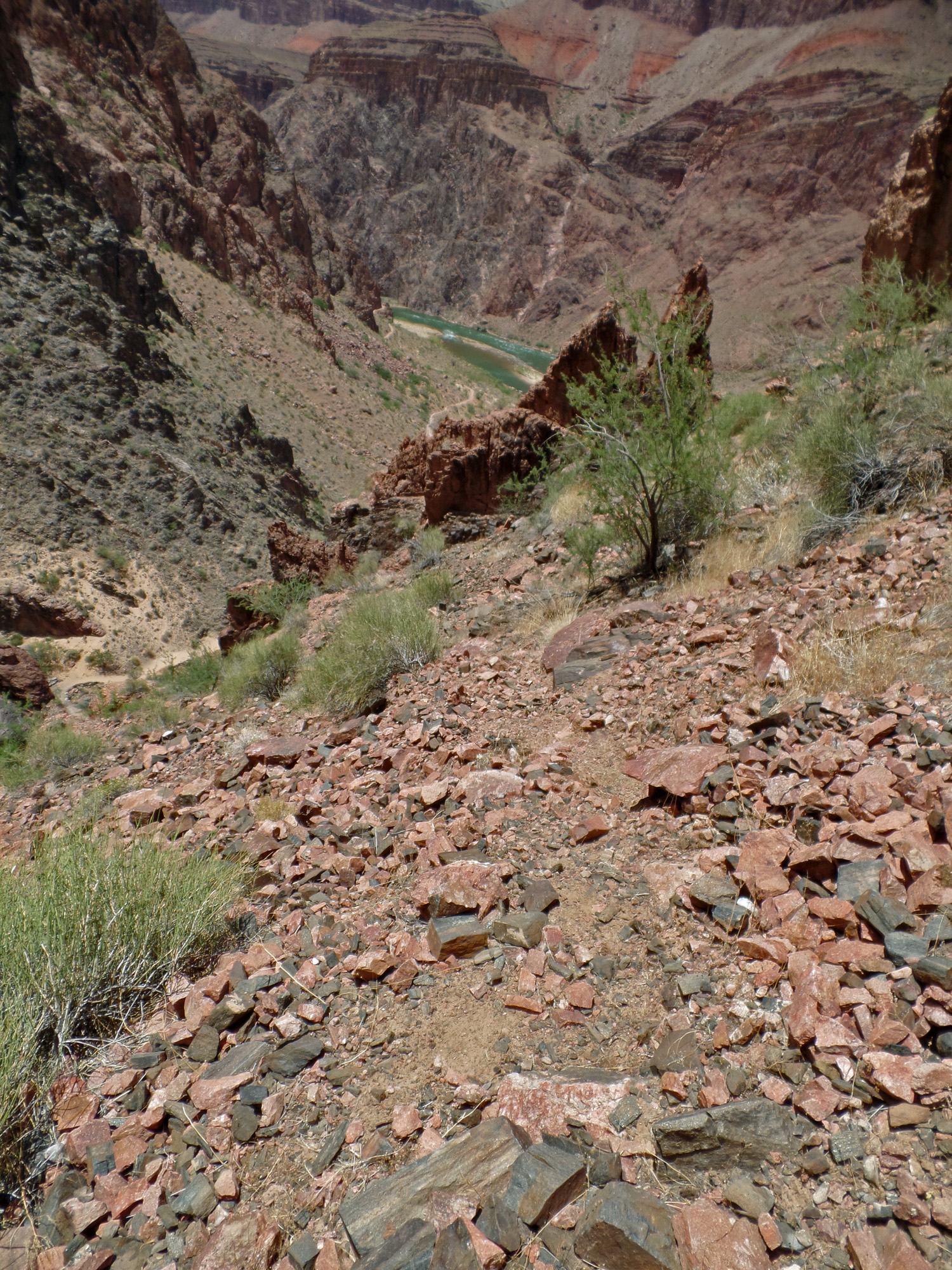
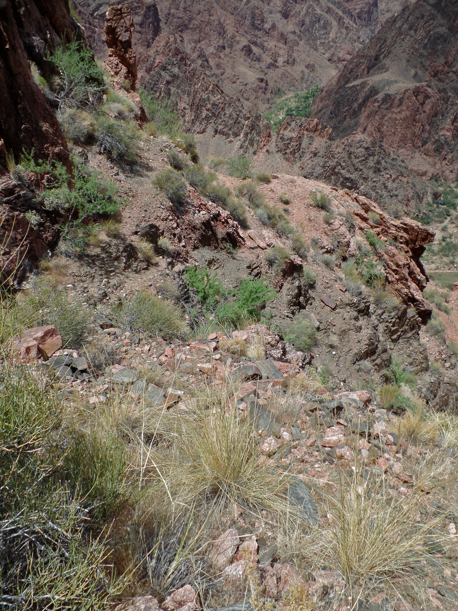
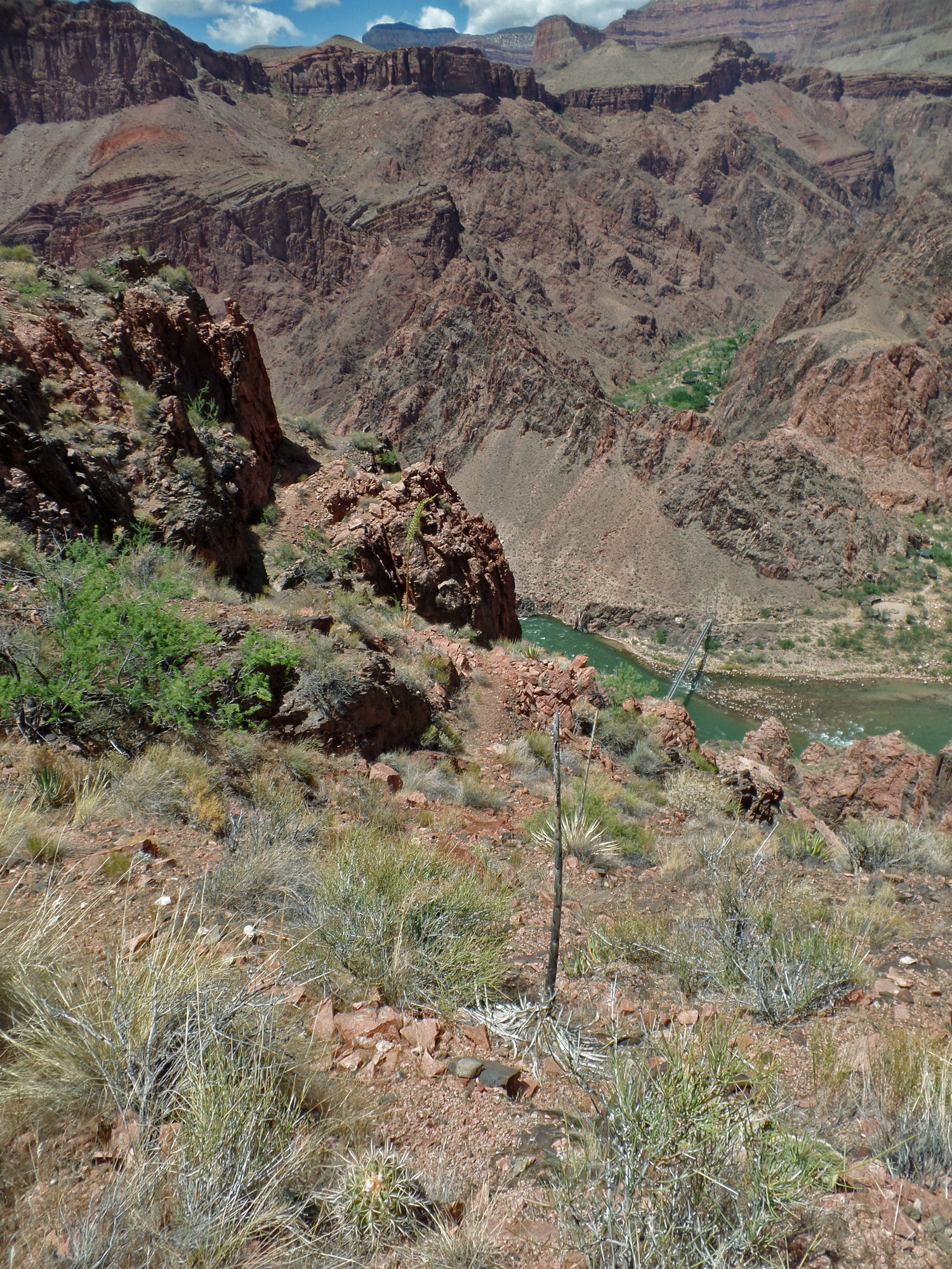
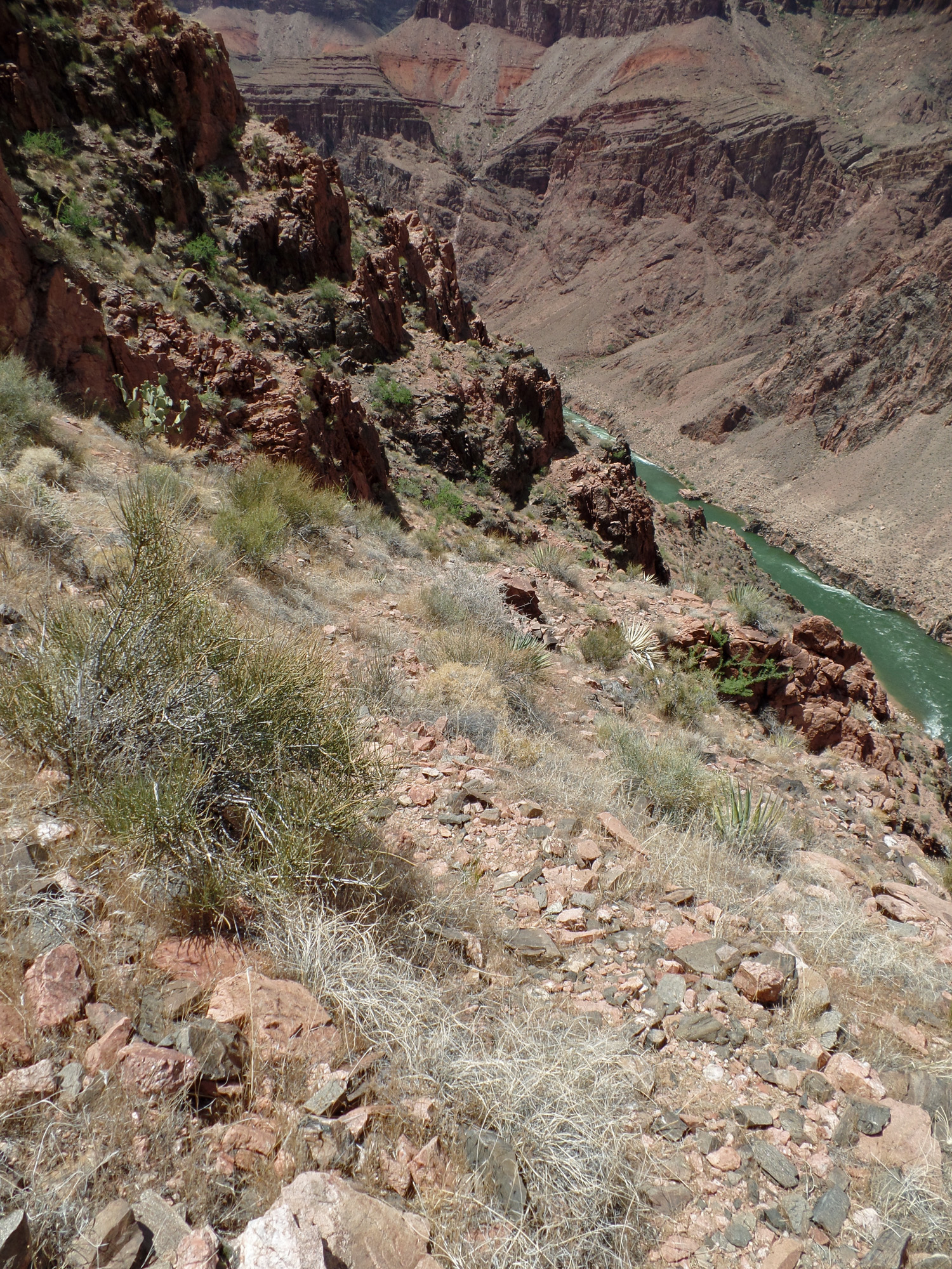
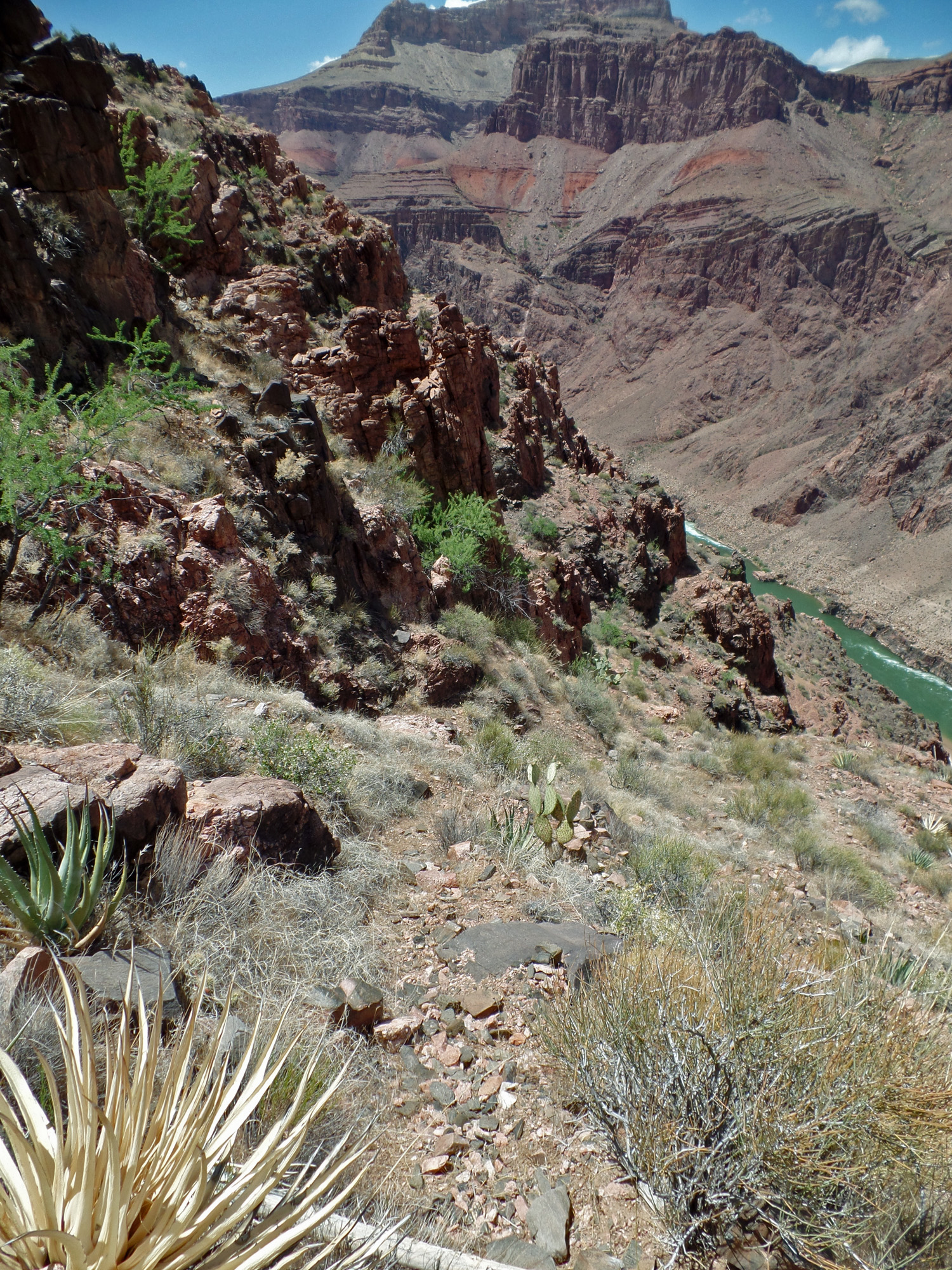
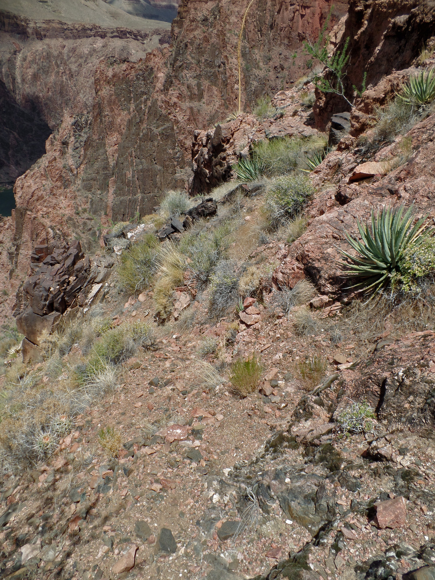
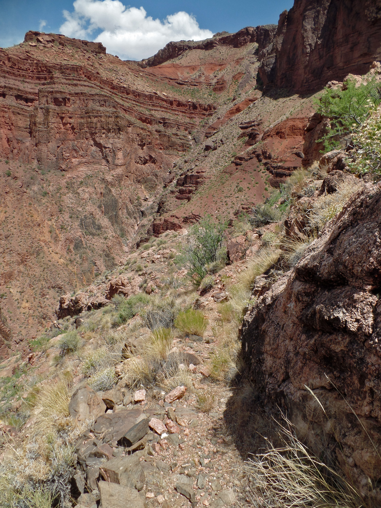
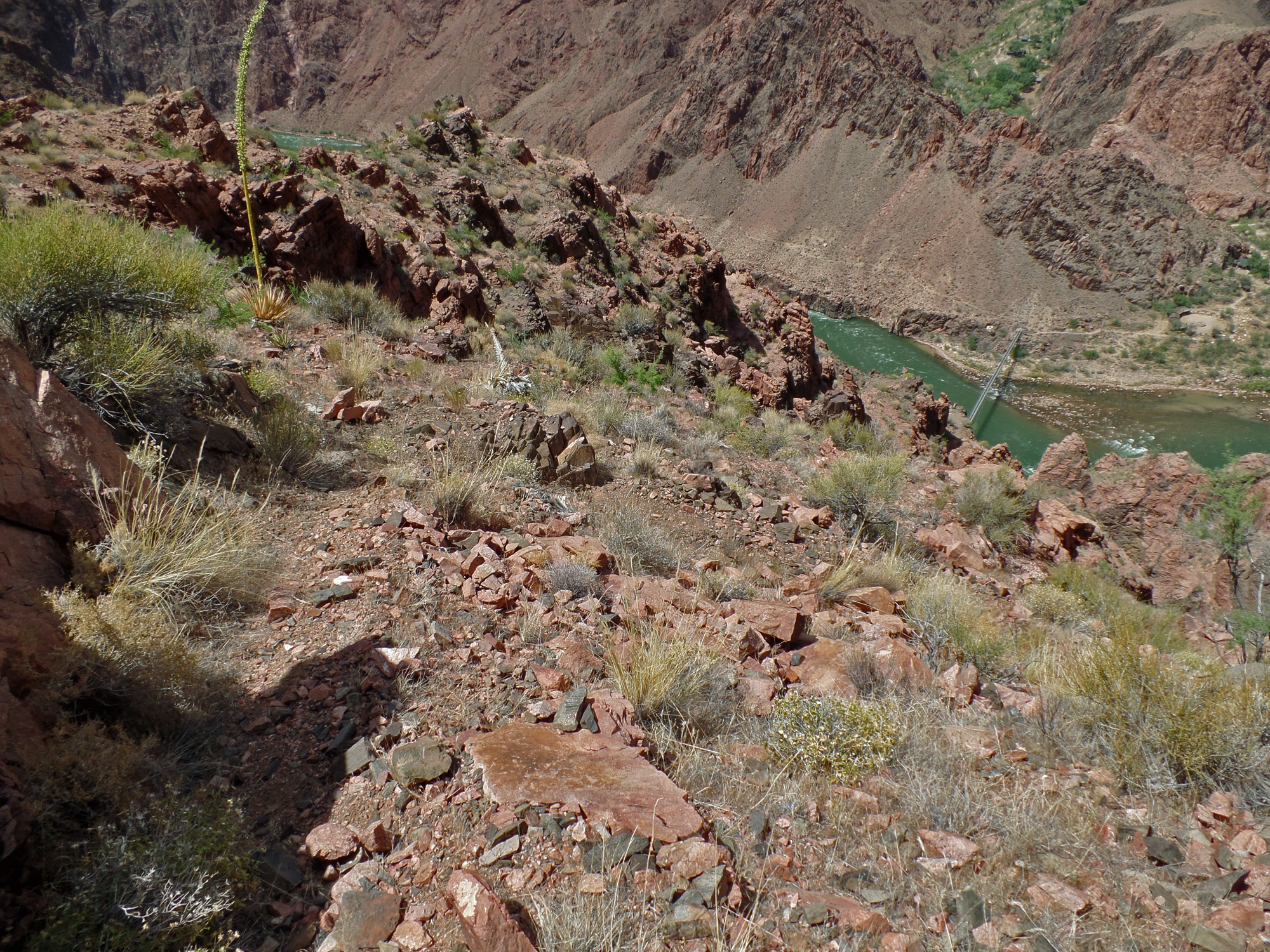
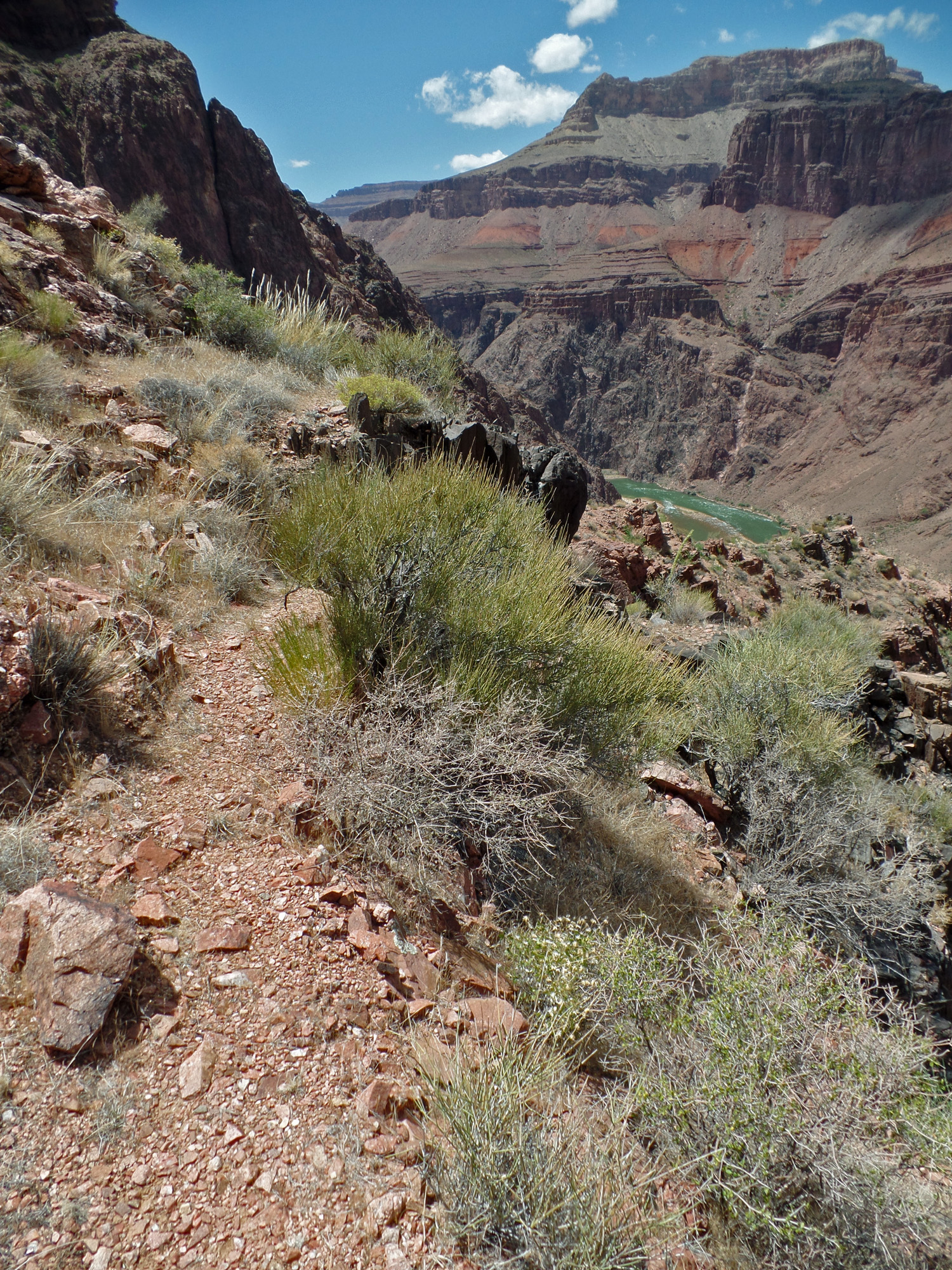
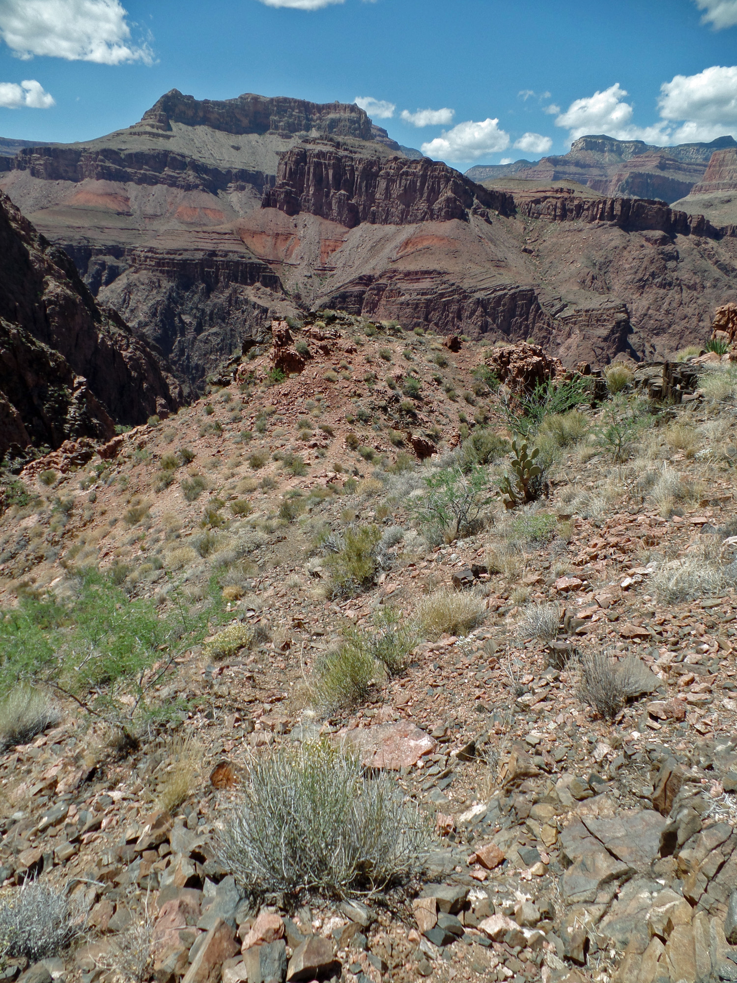
| The view from atop the Redwall of the exit from the Wash Henry trail onto the Tonto Plateau. The bold yellow arrow shows where the trail starts at the river. The yellow * shows where the Tonto cairn is. The small yellow arrows show a faint path that leads to Tonto Trail, which is shown by the green arrows. The green * shows where they meet. The red arrow points to the South Kaibab Trail. | The original, or old, Wash Henry Trail comes down in the major ravine west of the silver bridge. From here, visitors back in the late 1800s and early 1900s would head for the river and use a boat to get across. Later, when Rust built the cable crossing, a new trail had to be built down to where the black bridge is today. | The River Trail makes a big detour to get across this major ravine. It is separated from Pipe Creek, which is farther west. Looking up from here, a trail looks to be quite impossible. Could this be an old Indian route? I suspect so, given their use of the Bright Angel delta, but I've not seen any definite signs along this old trail. |
 |
 |
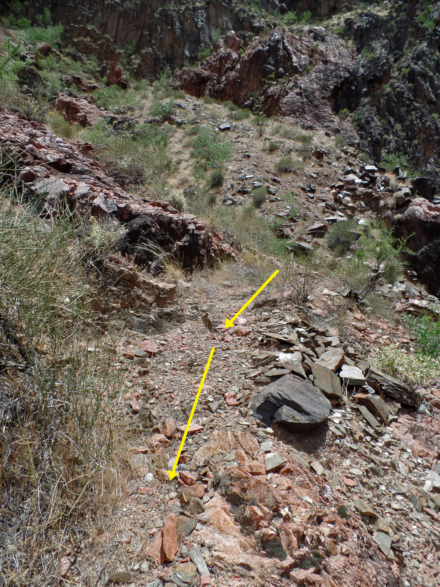 |
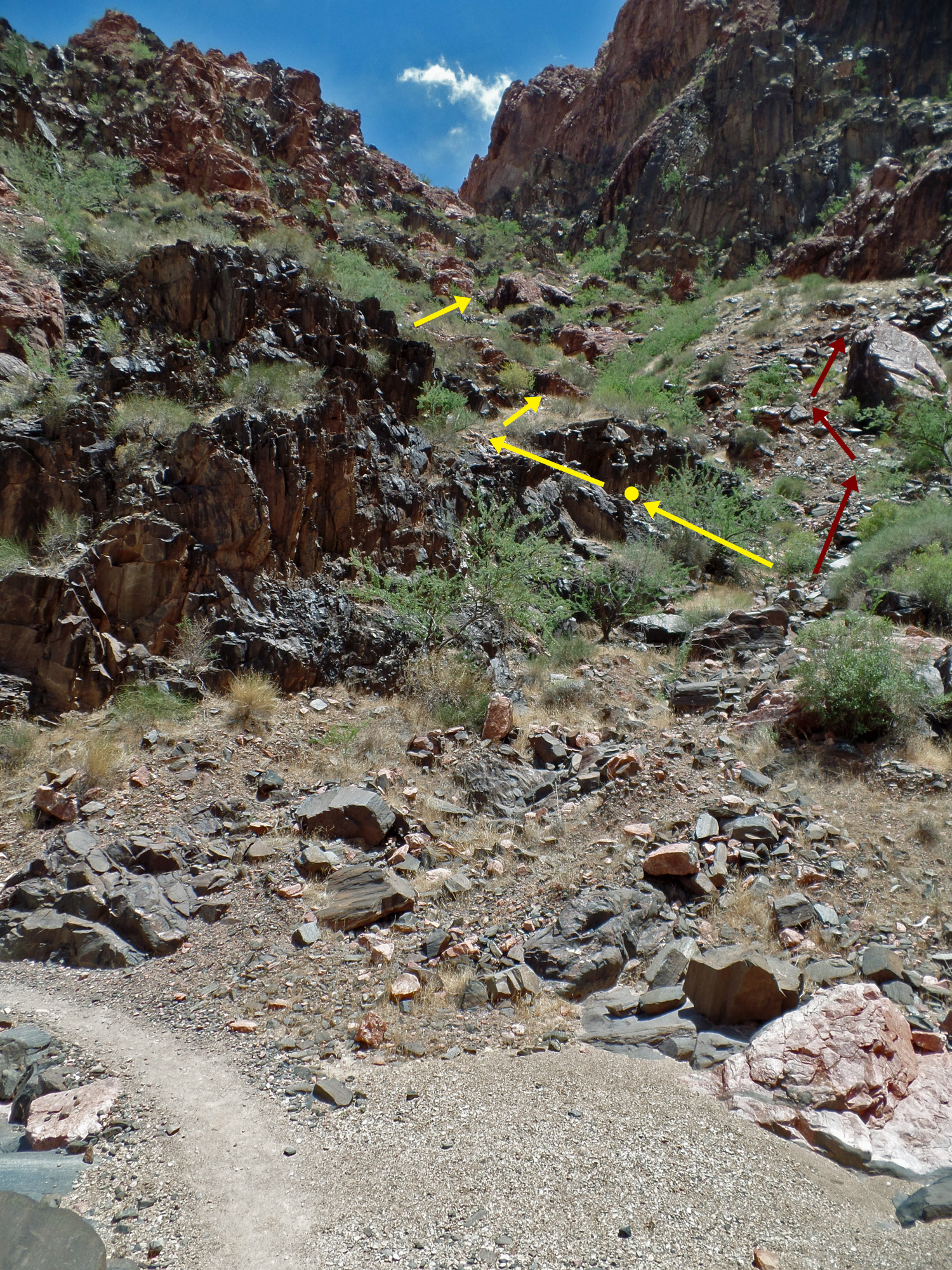
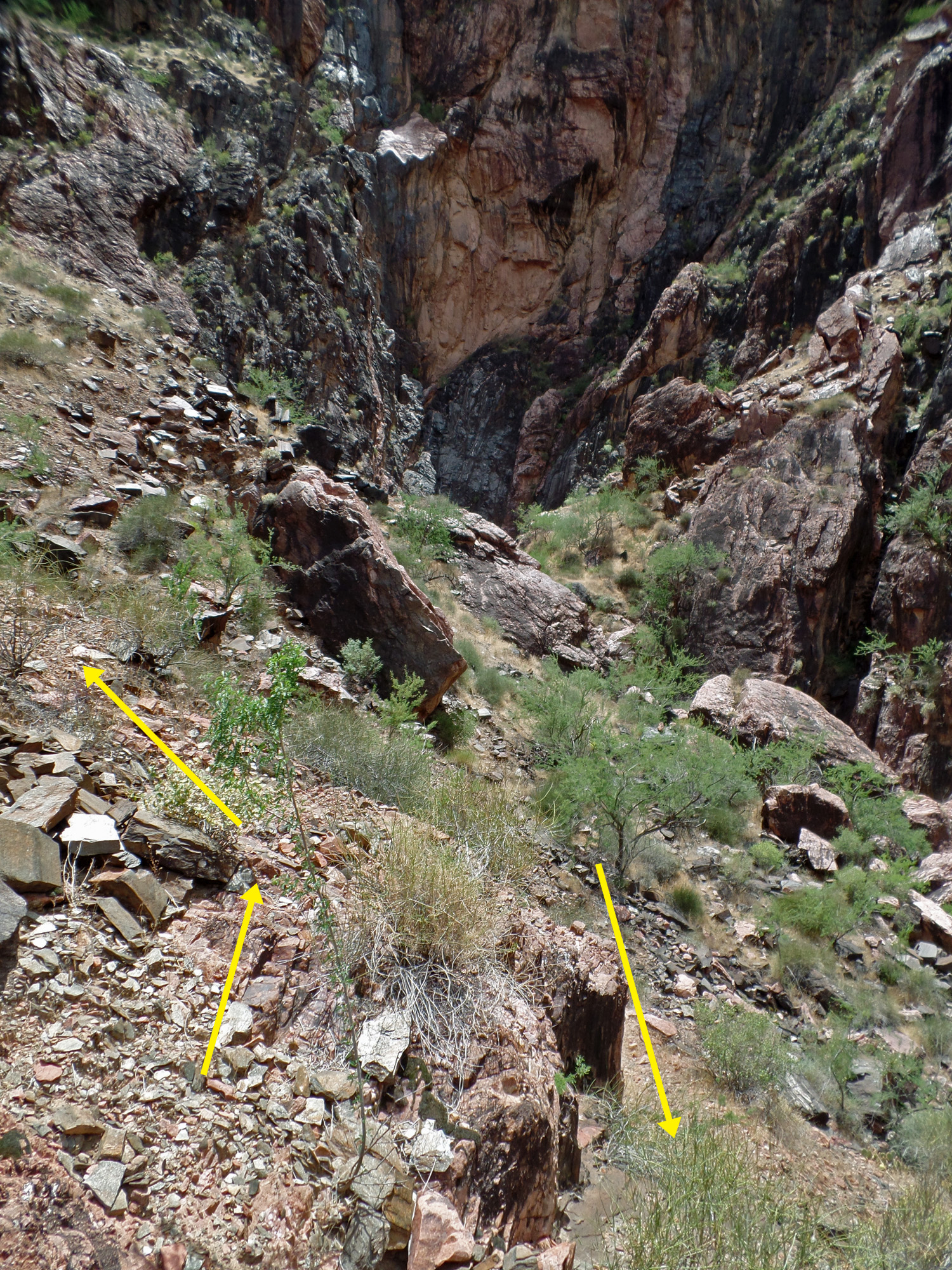
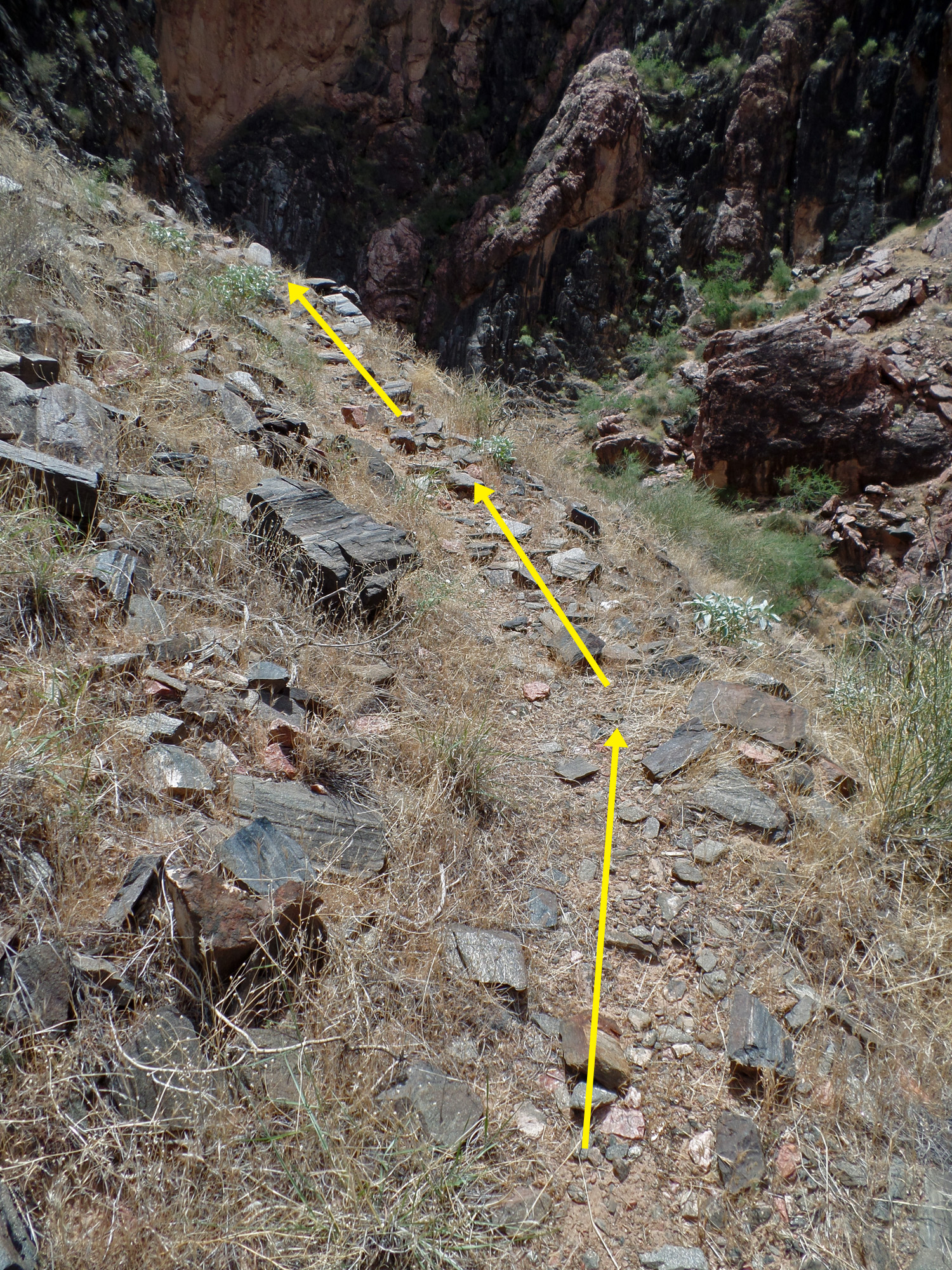
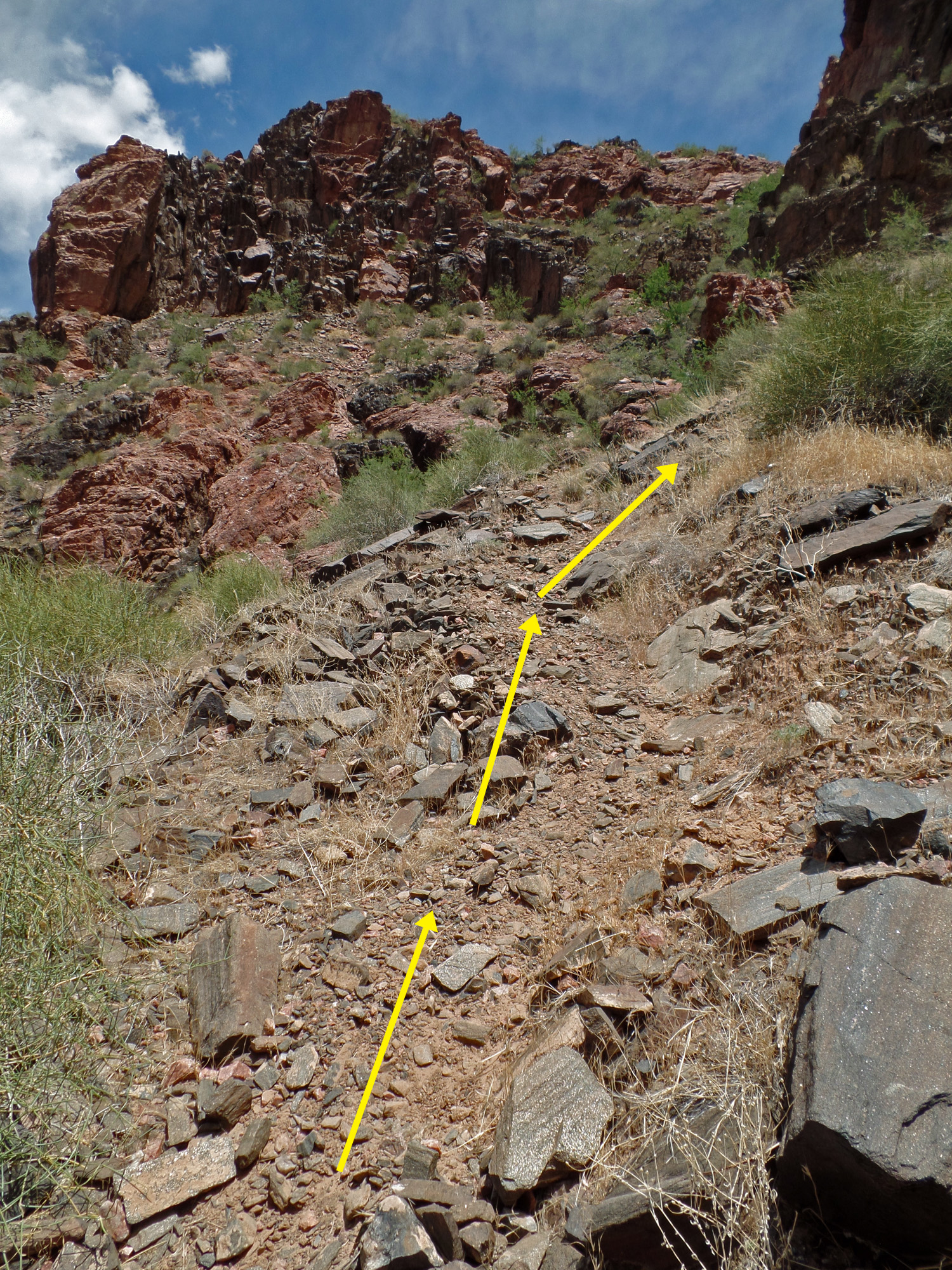
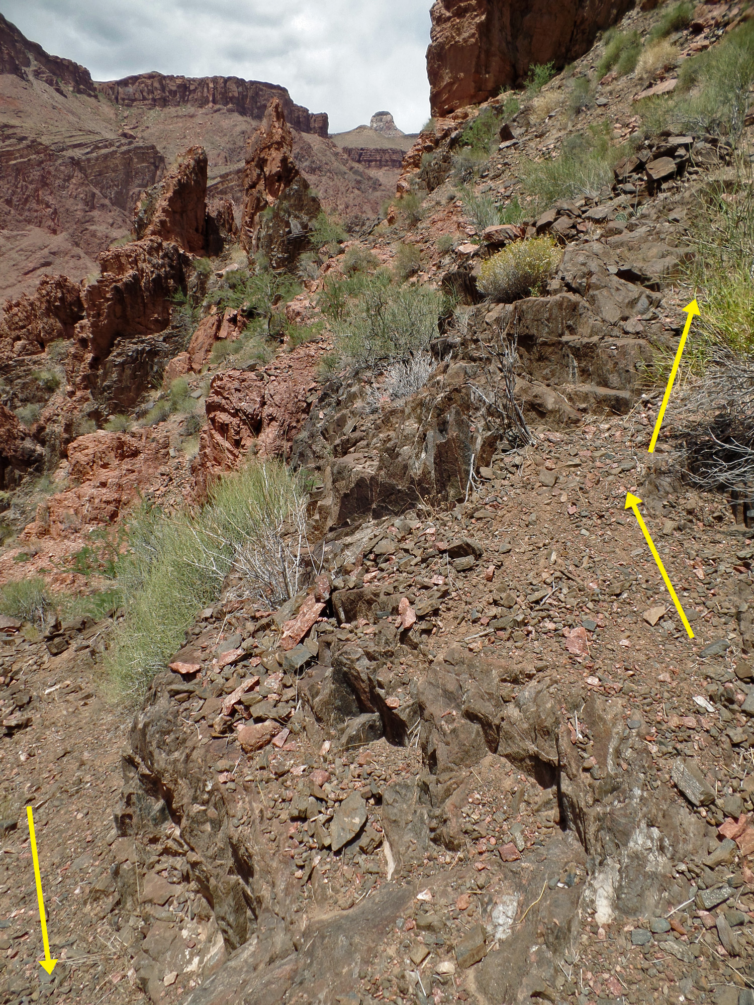
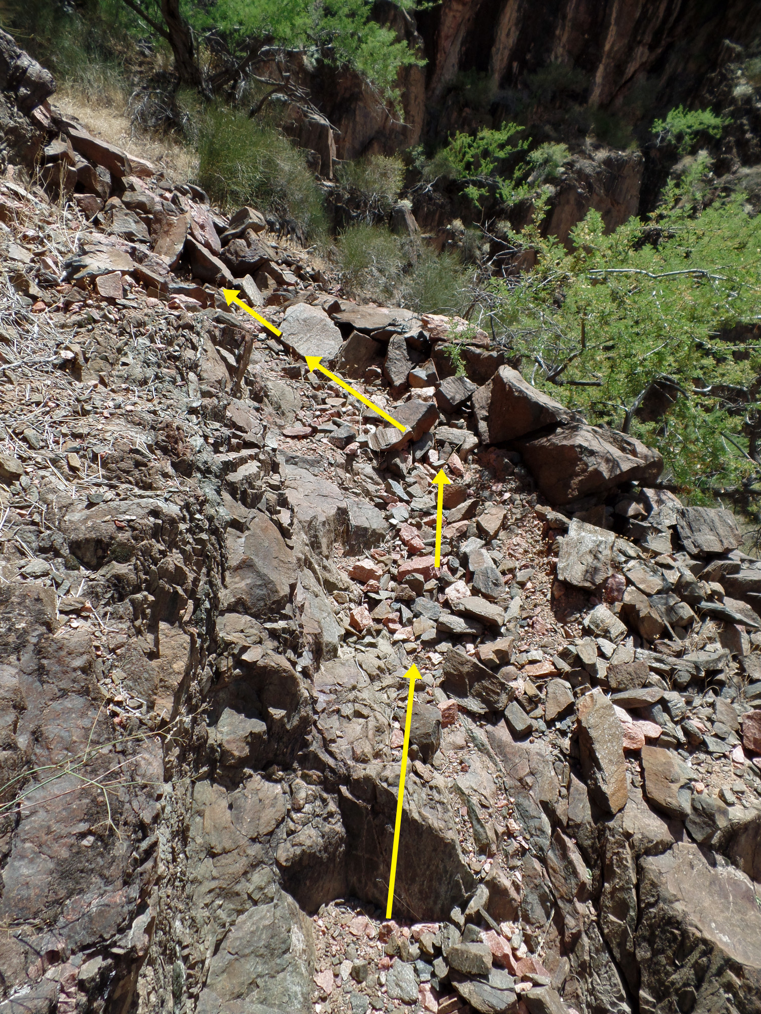
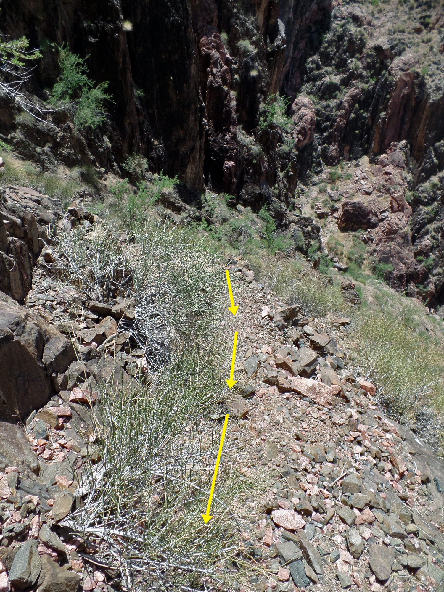
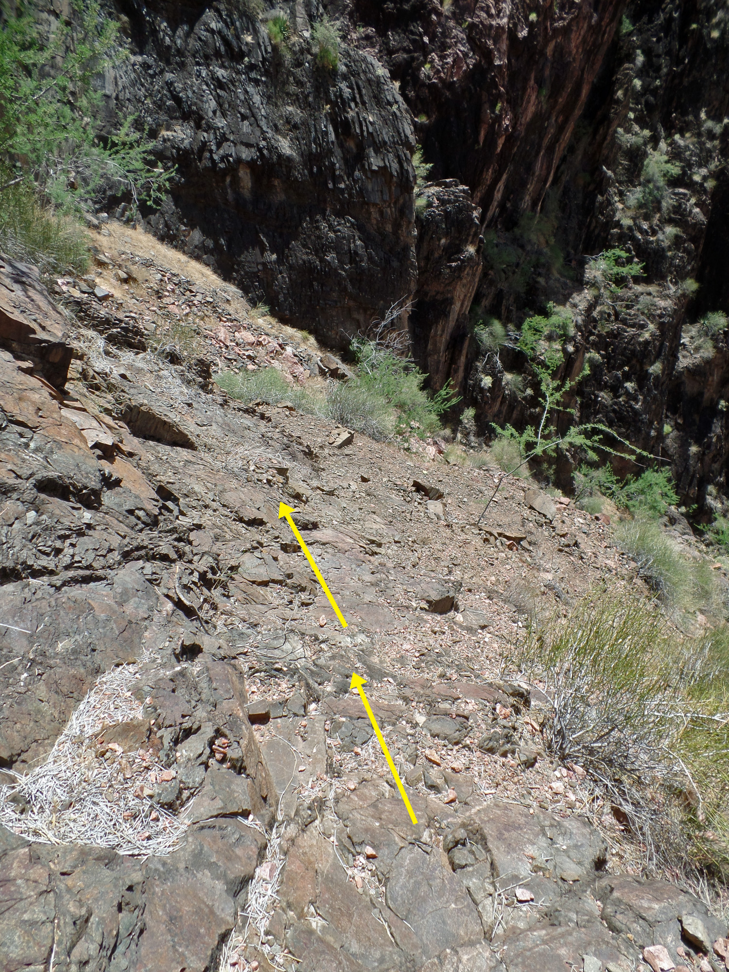
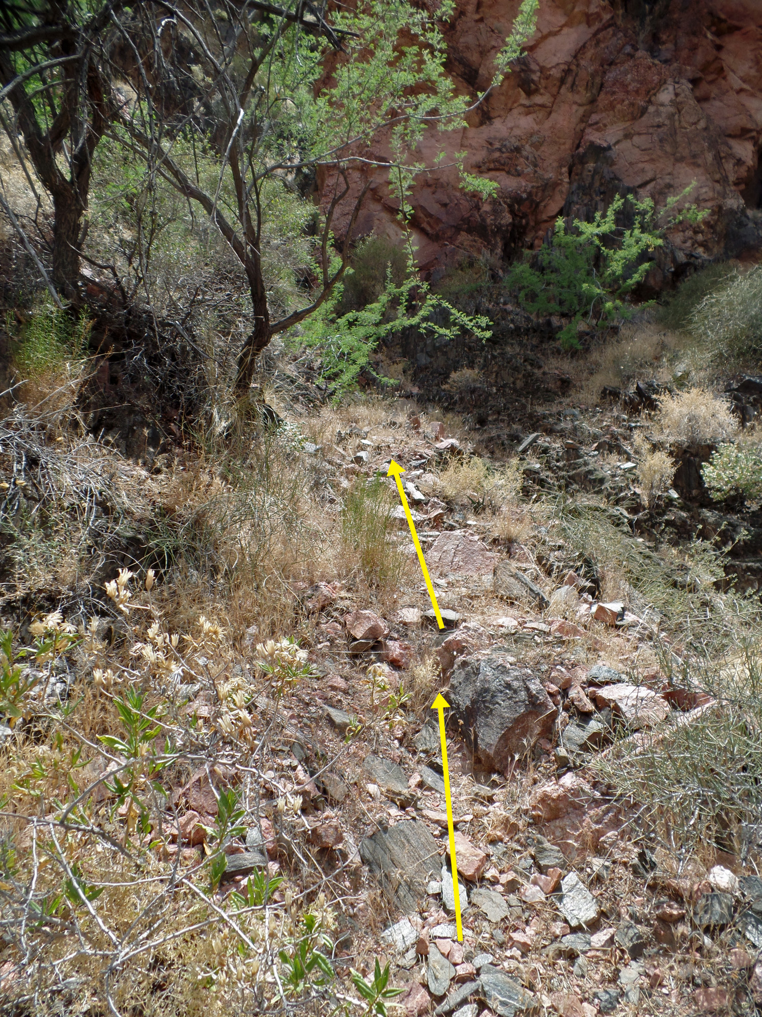
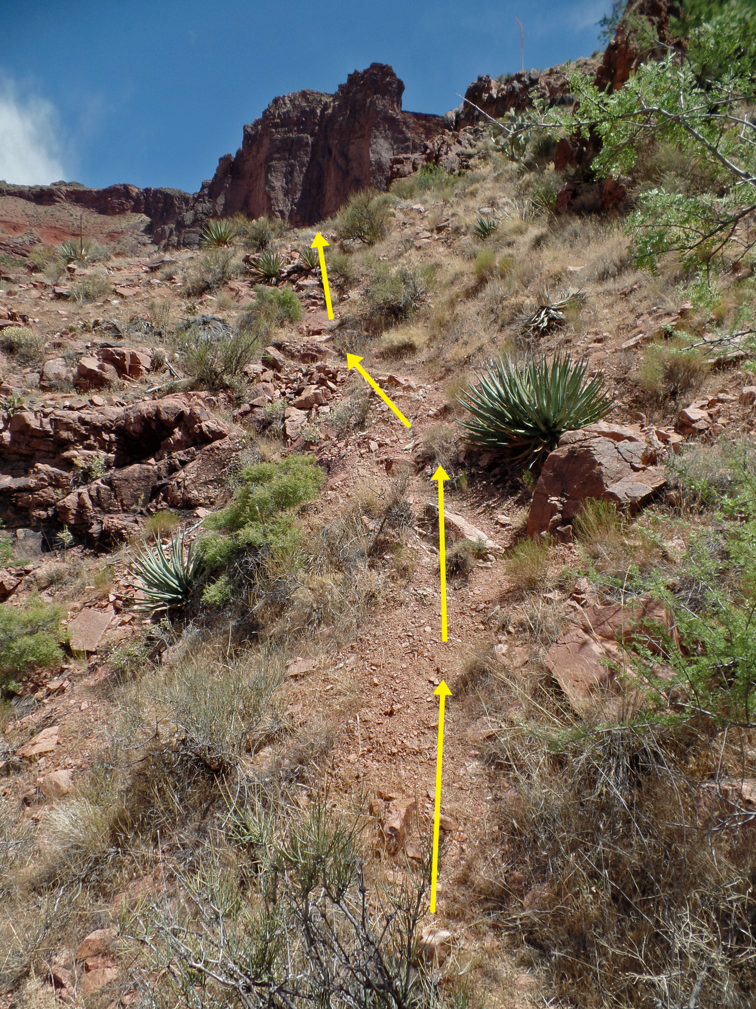
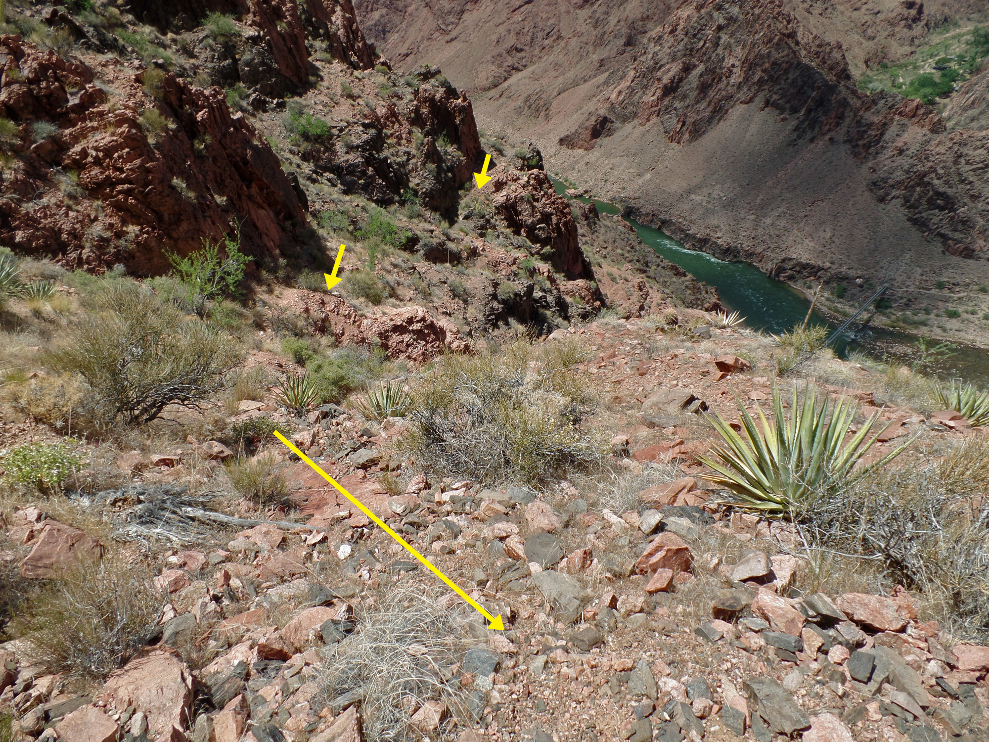
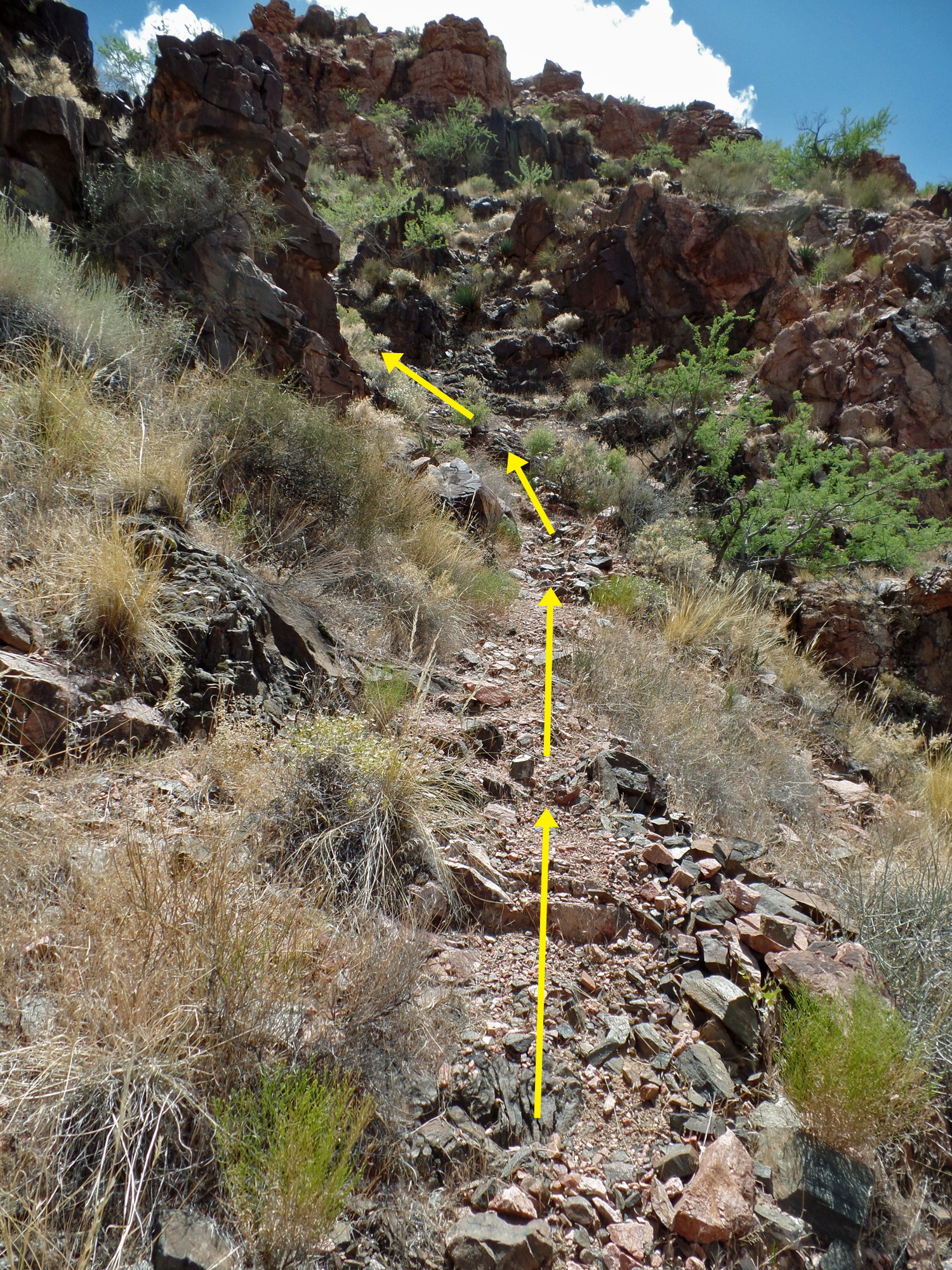
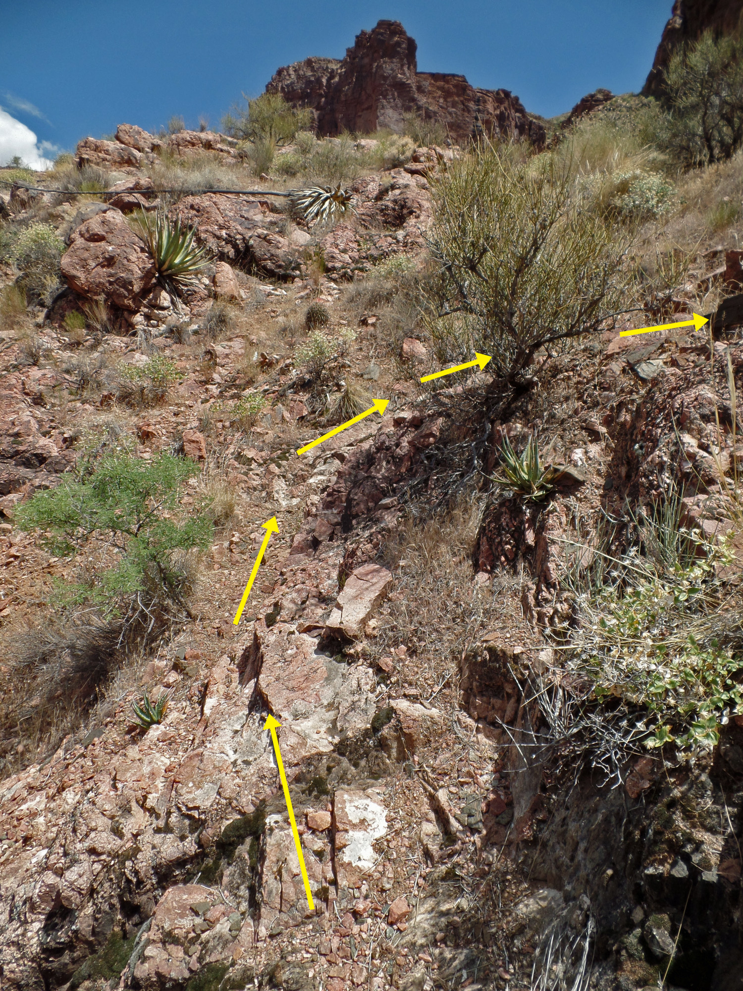
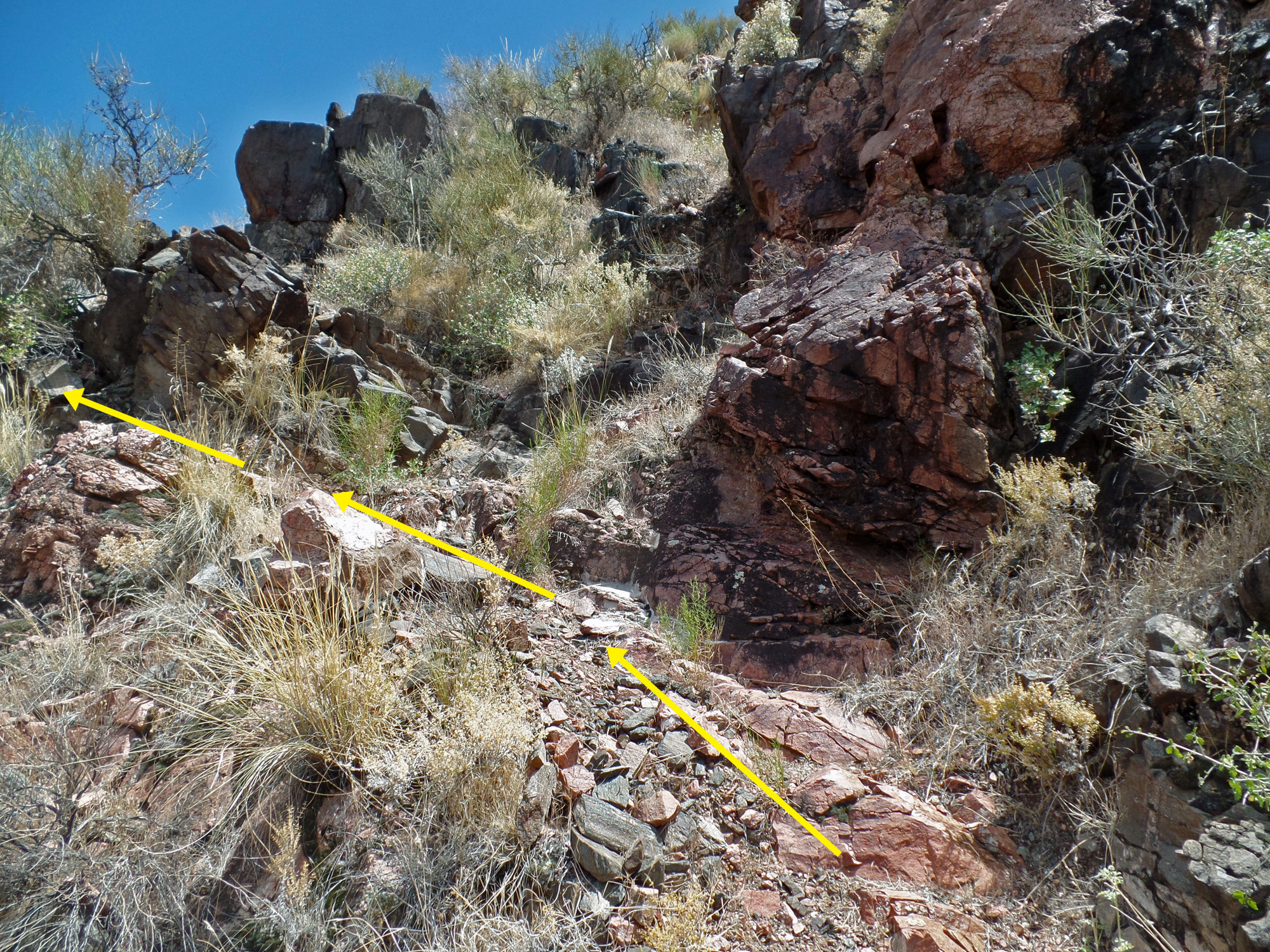
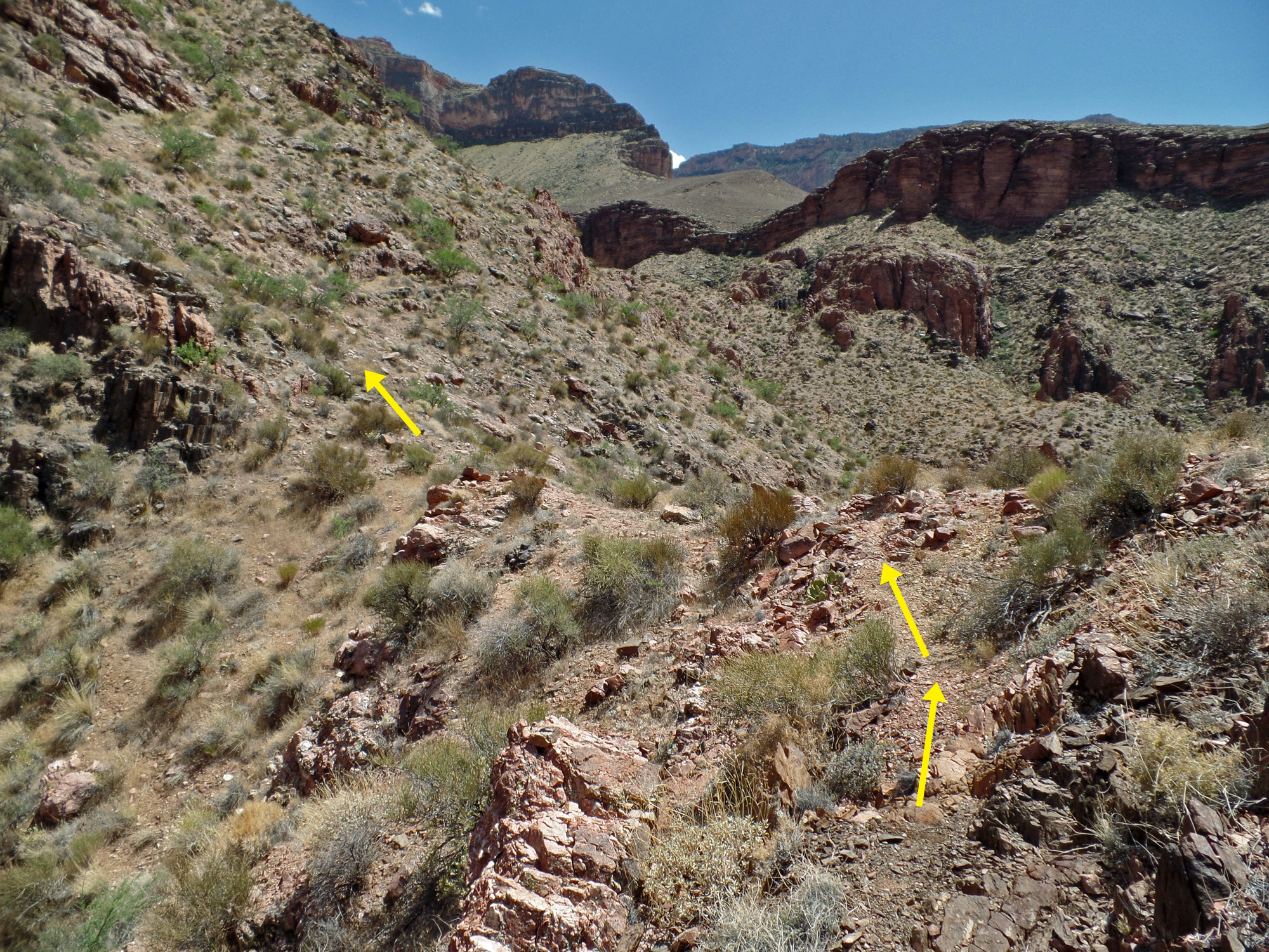
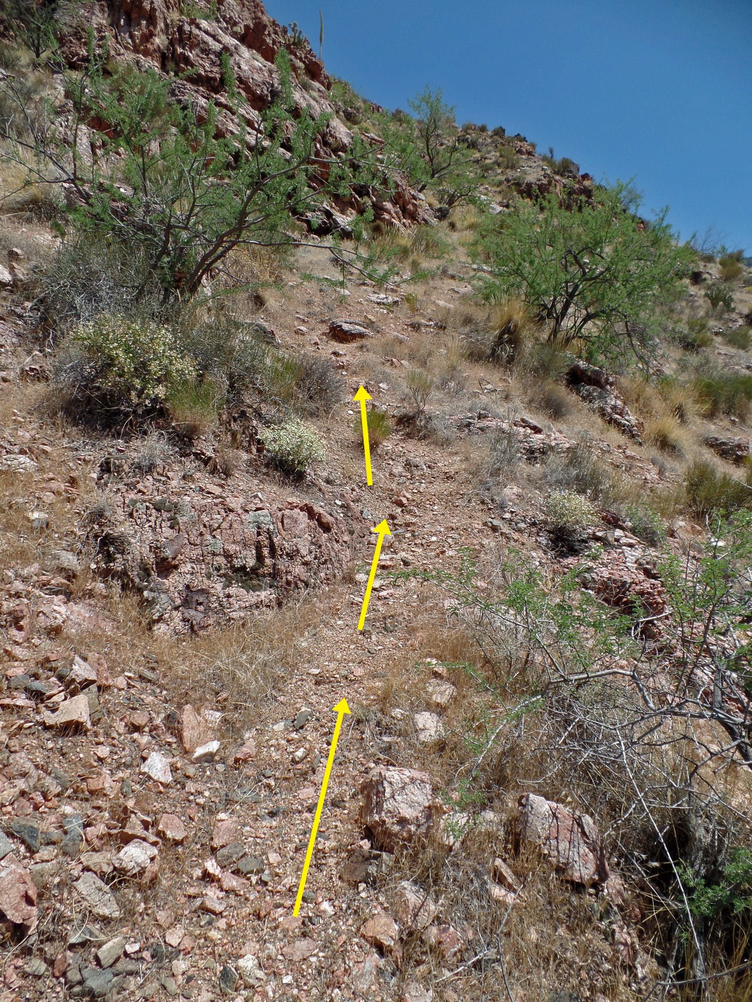
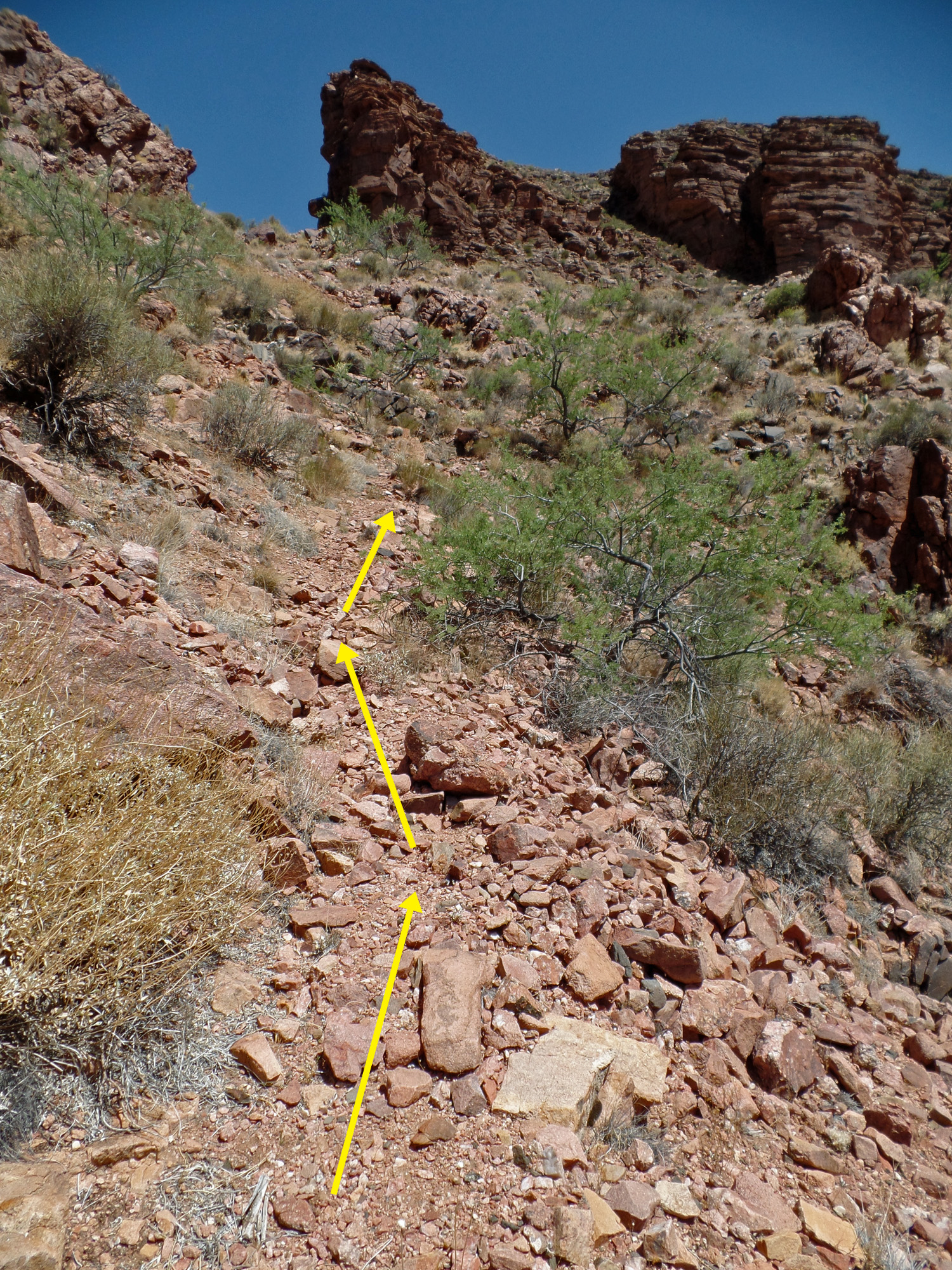
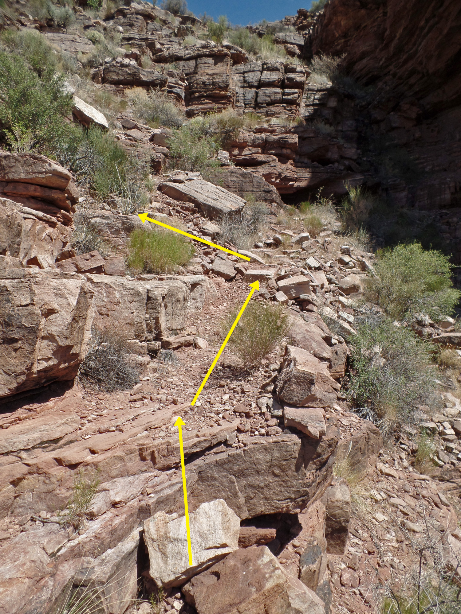
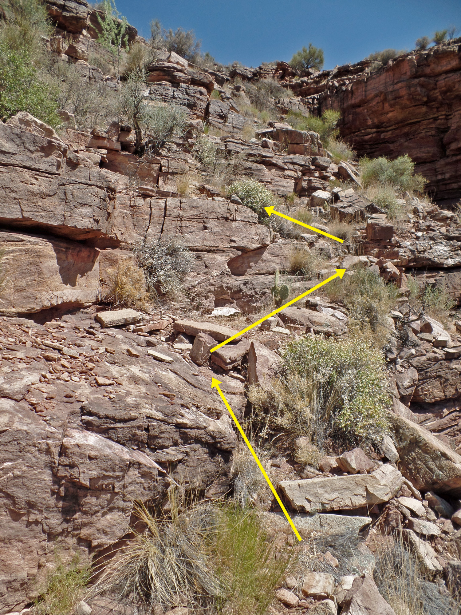
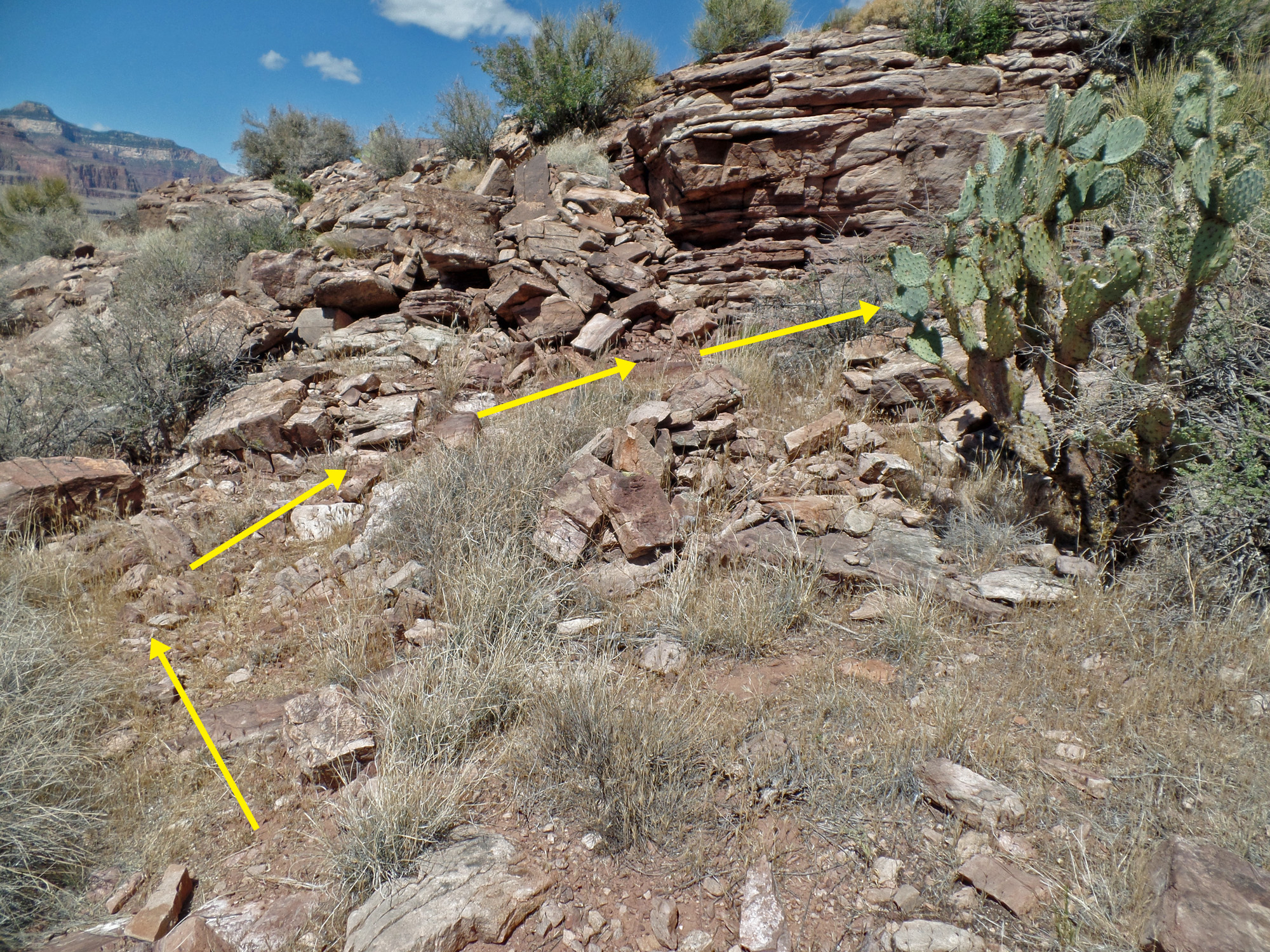
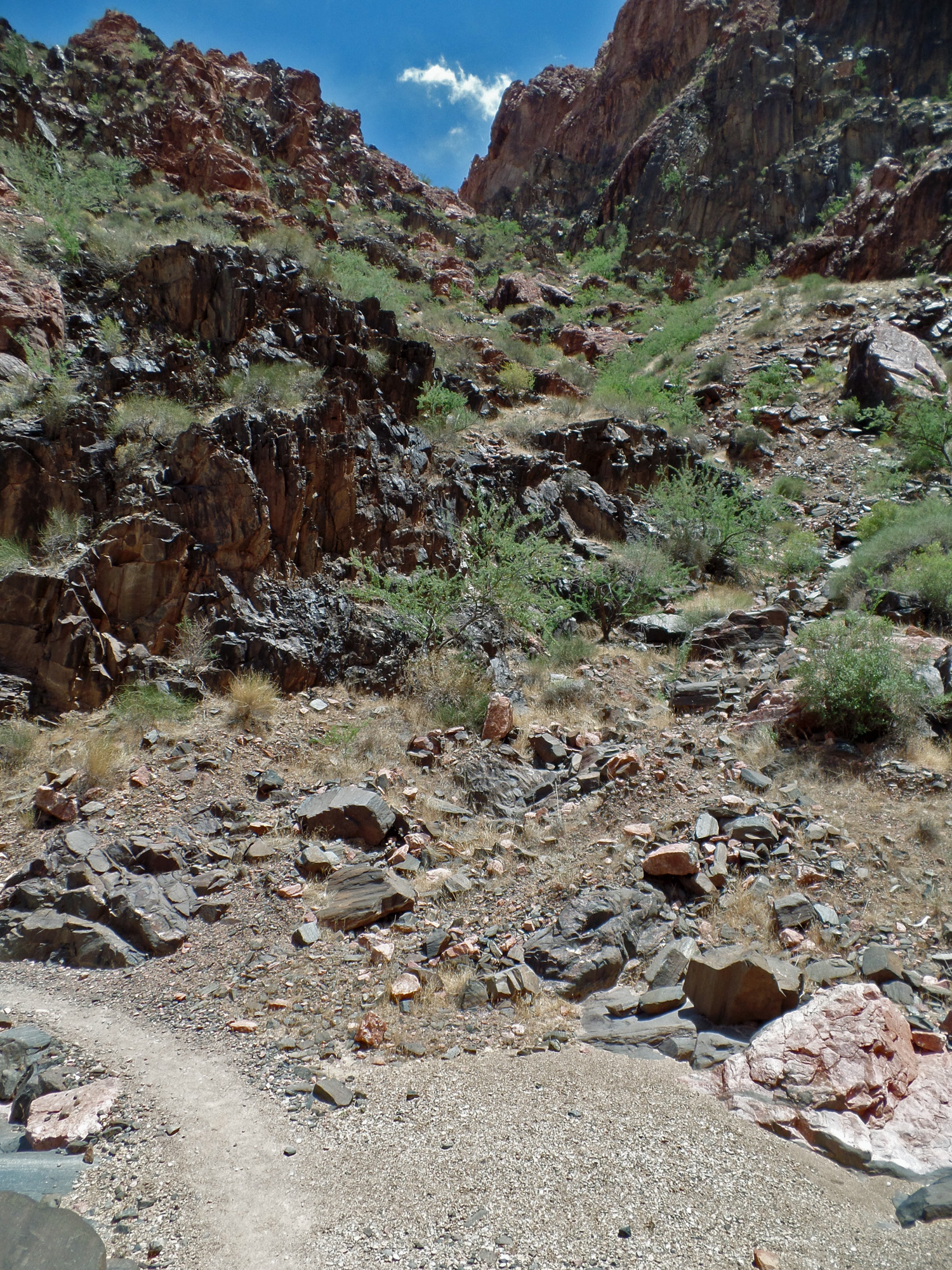
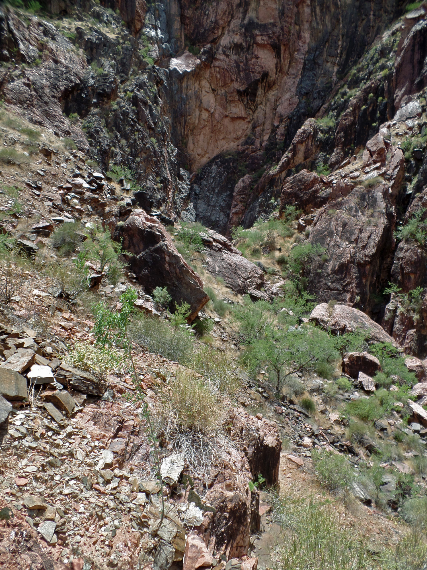
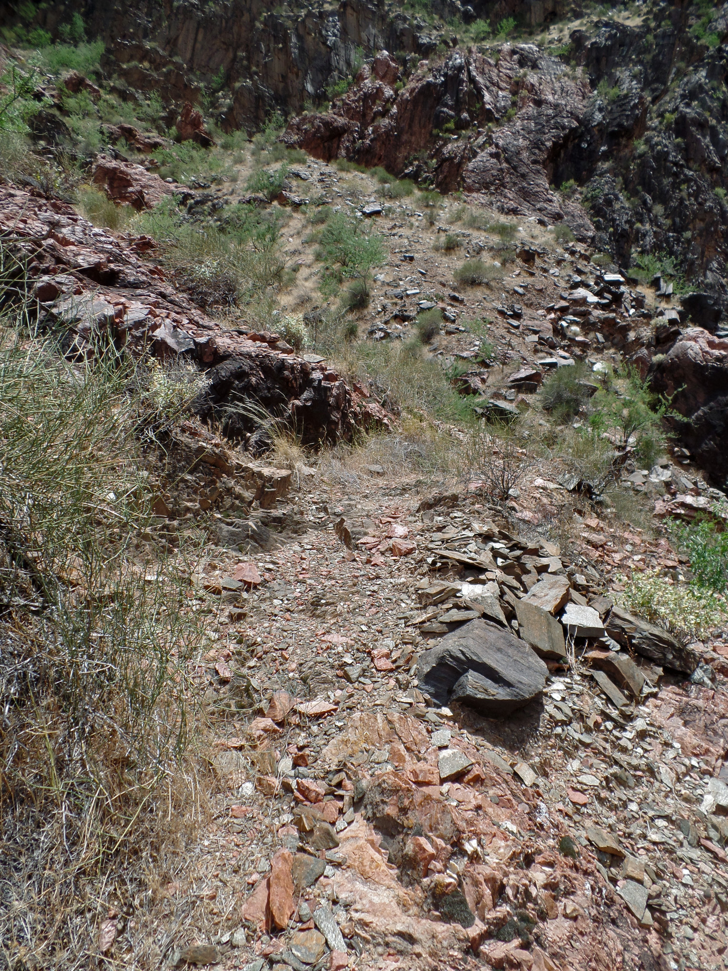
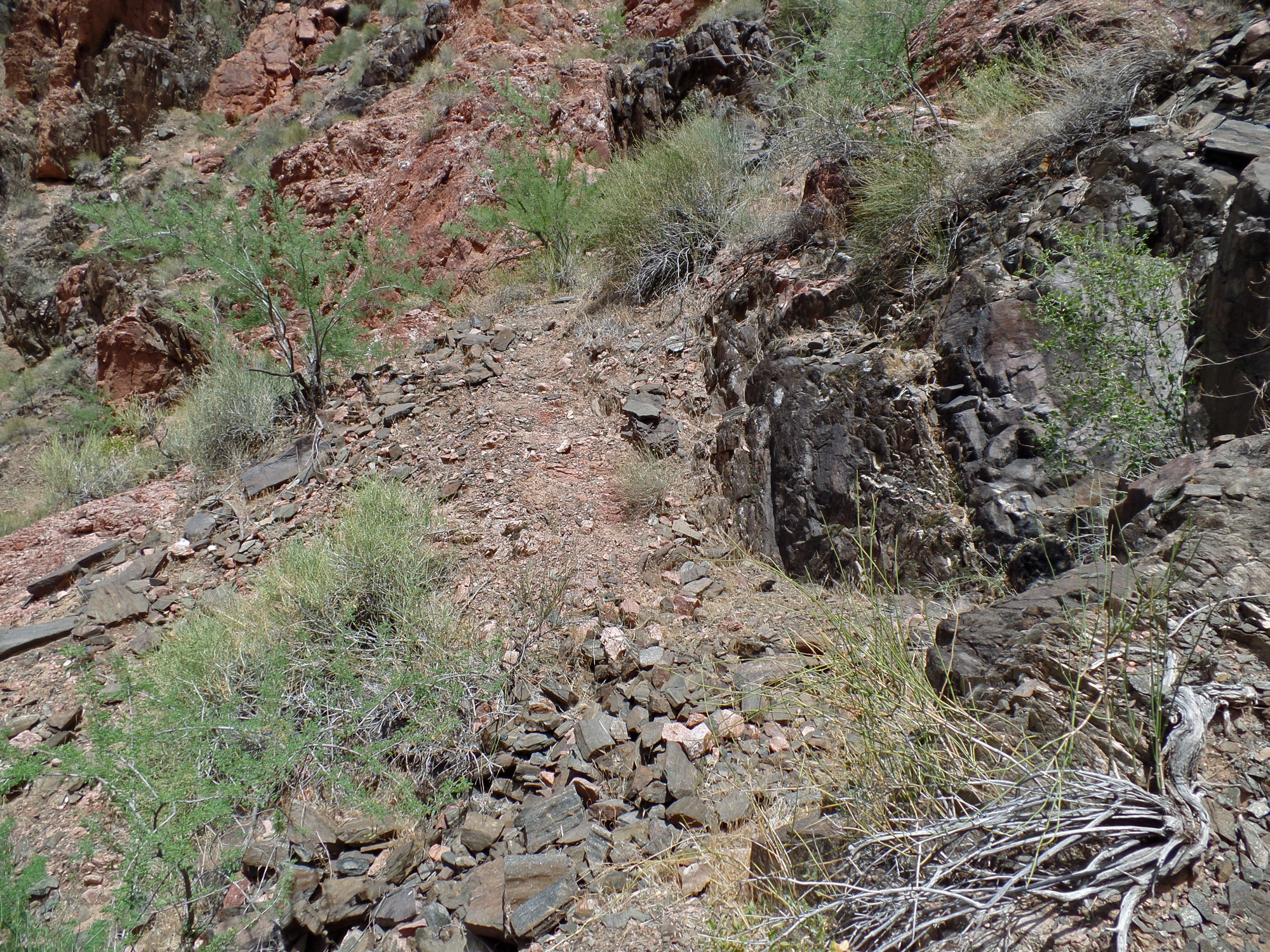
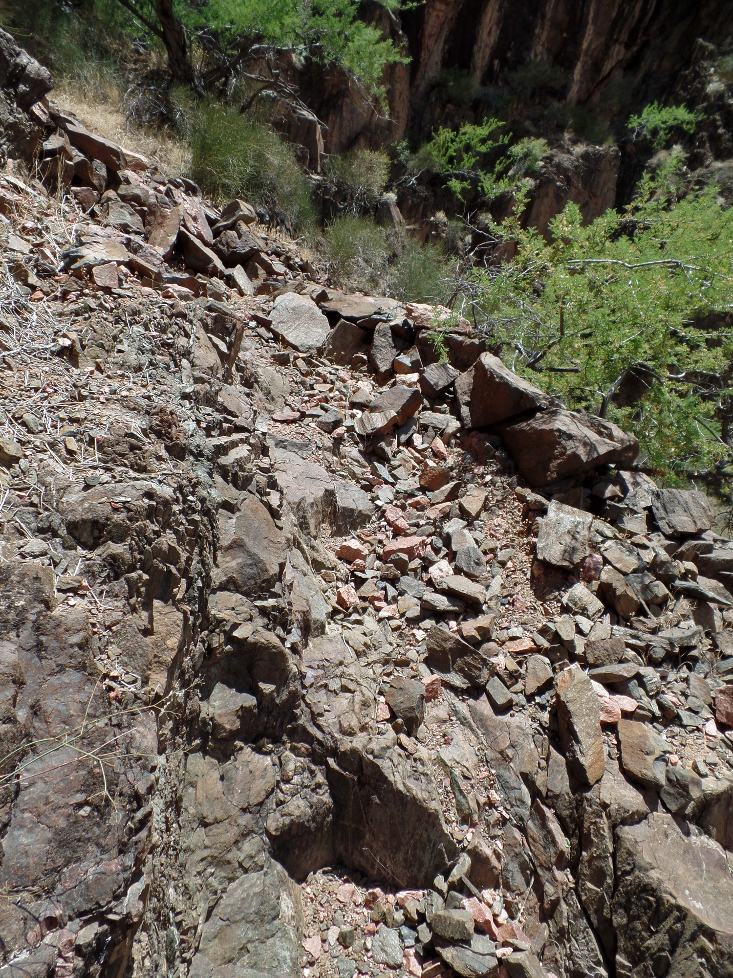
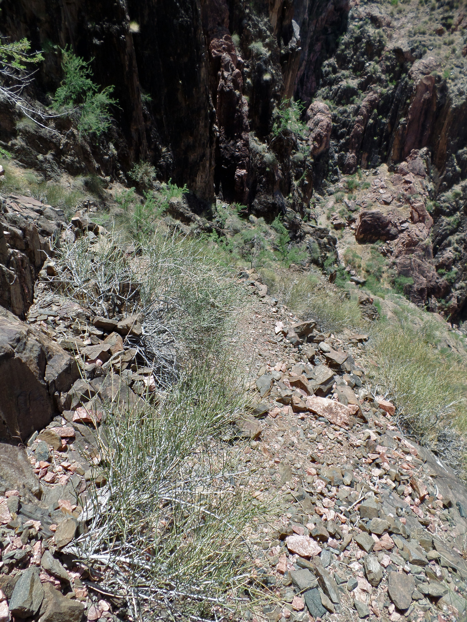
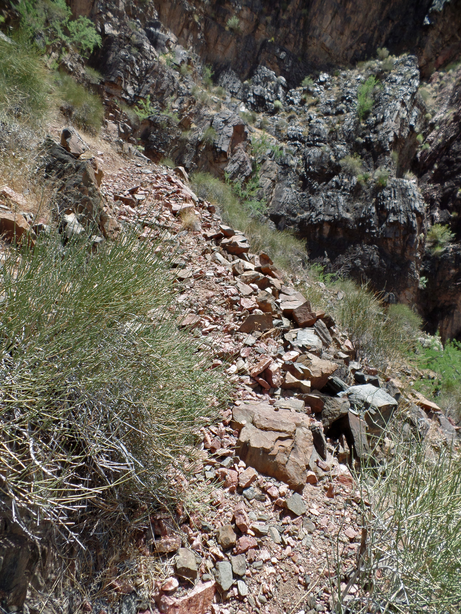
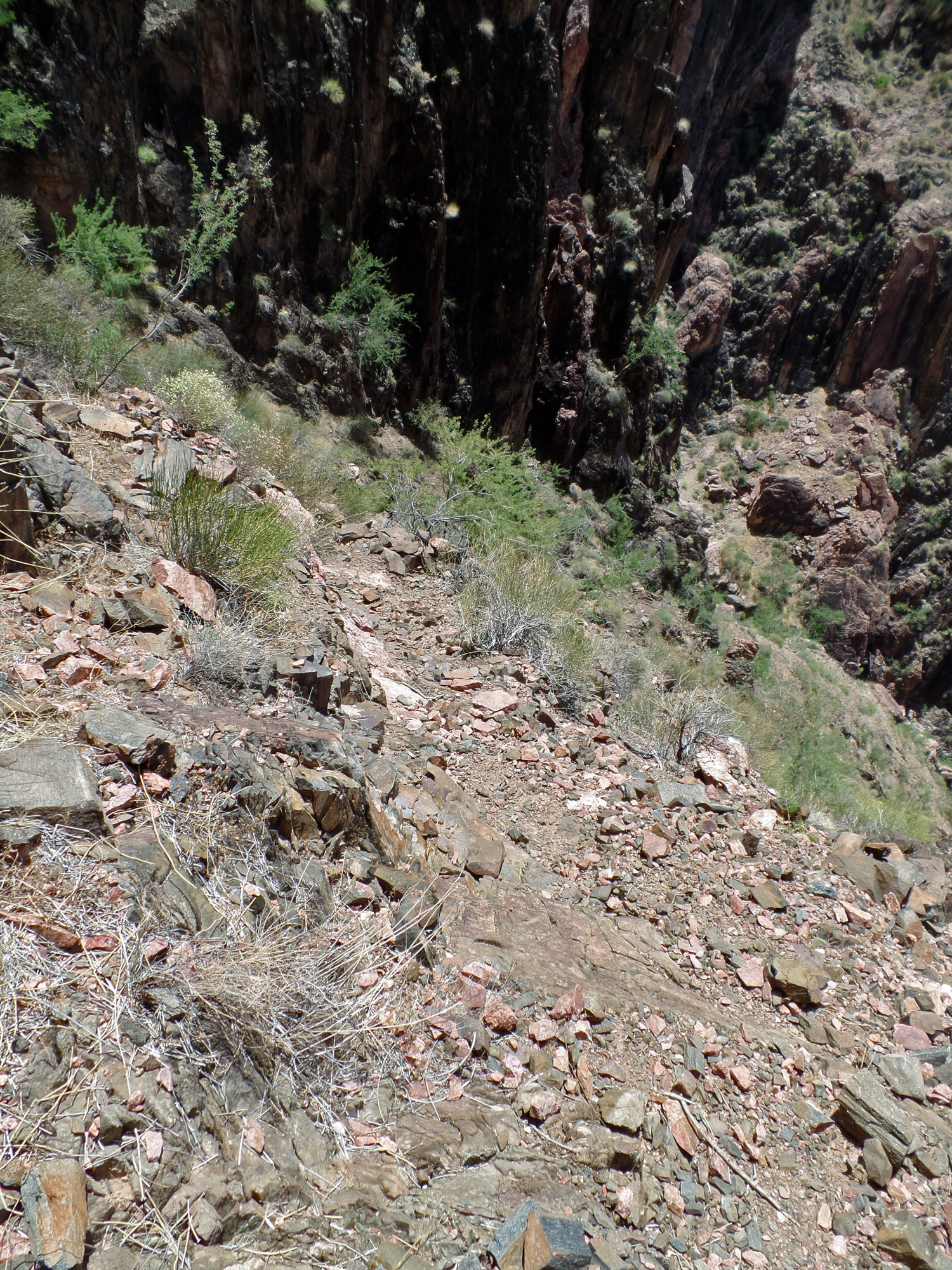
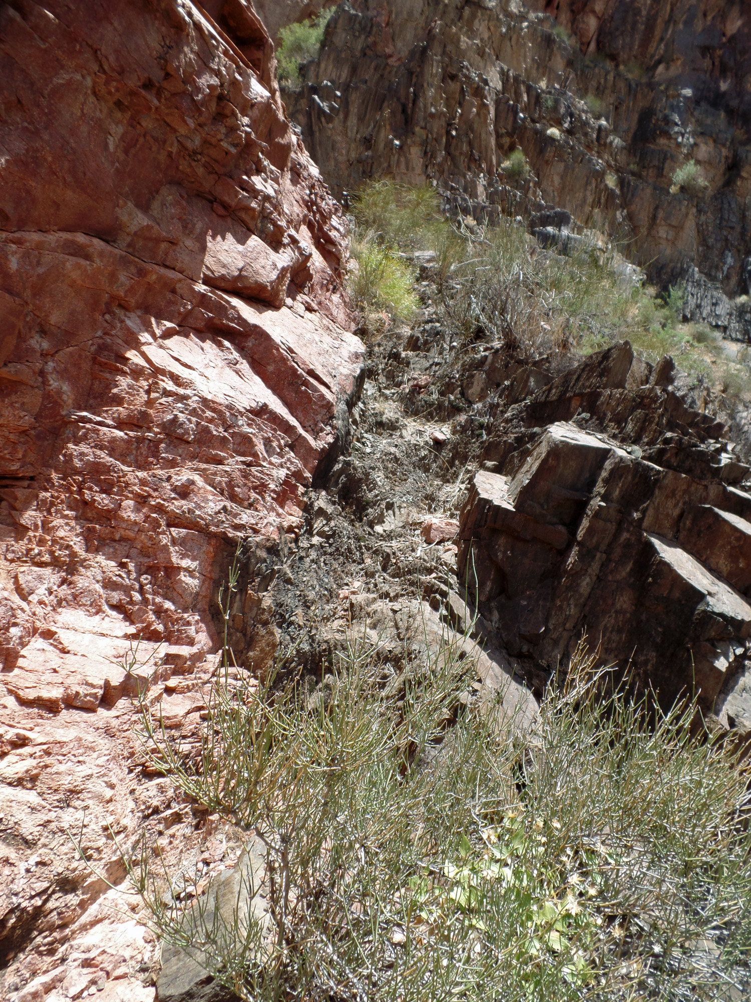
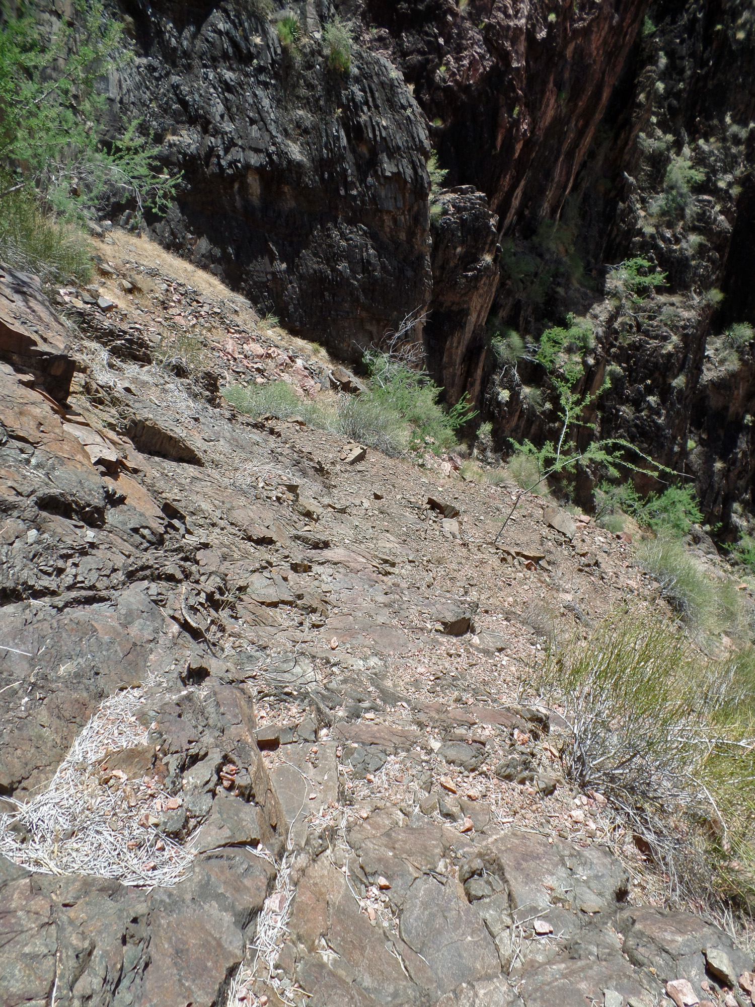
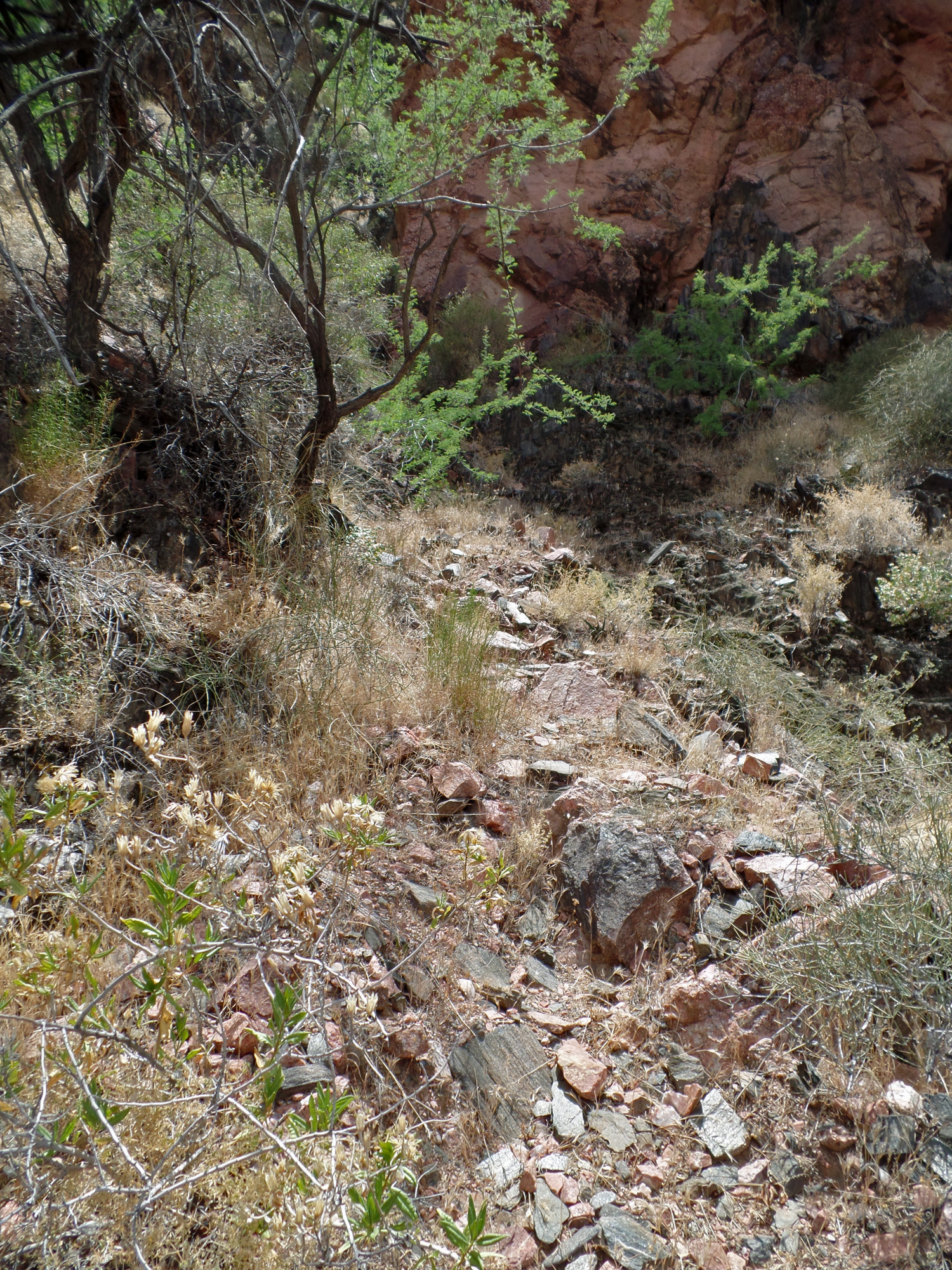
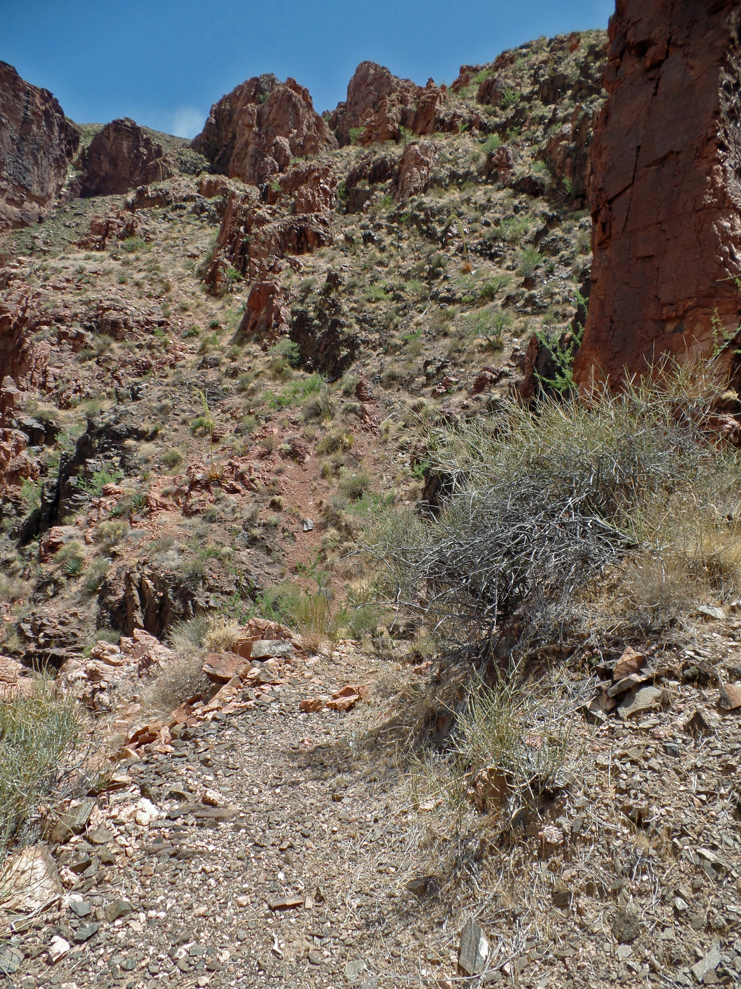
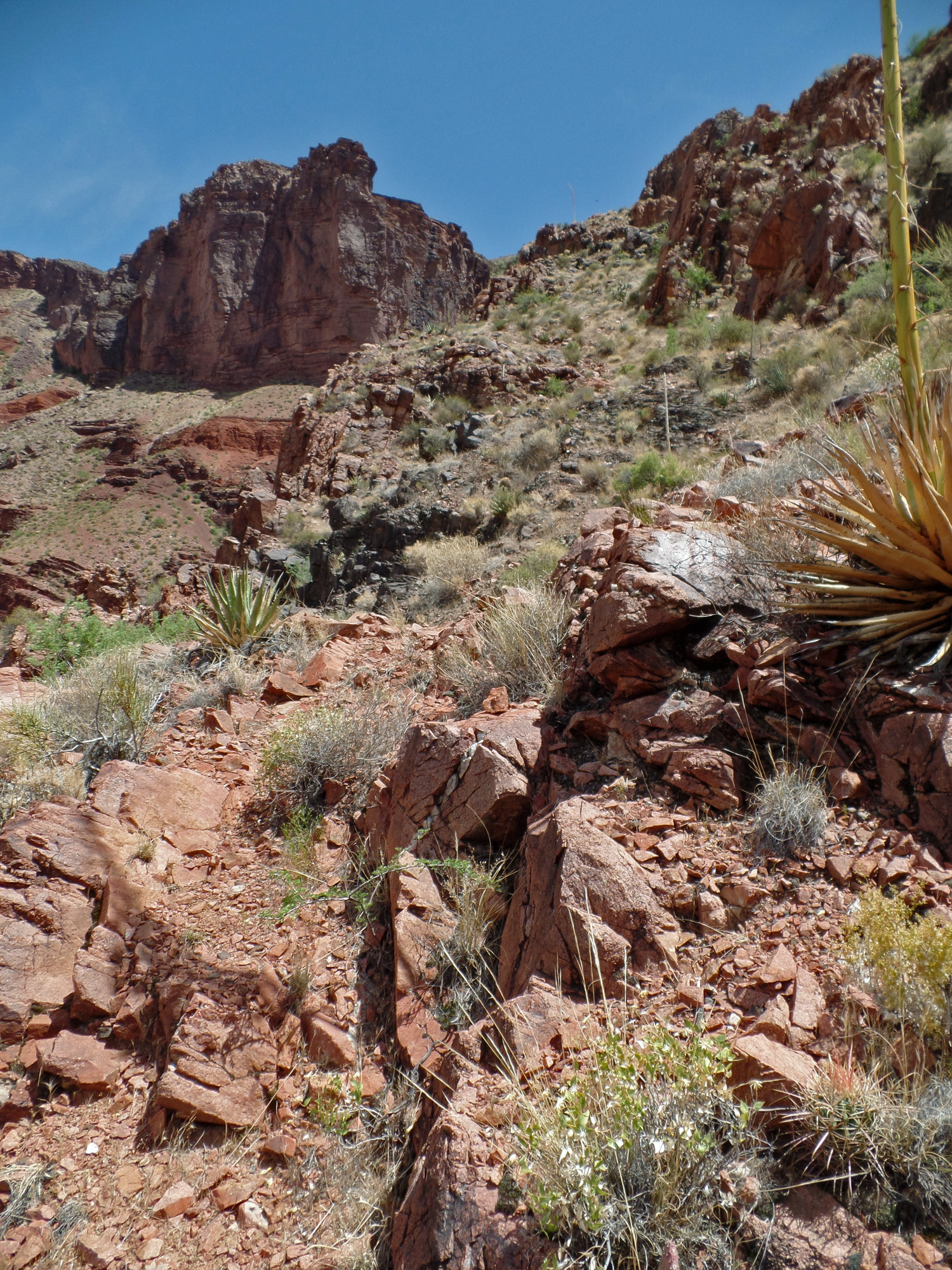
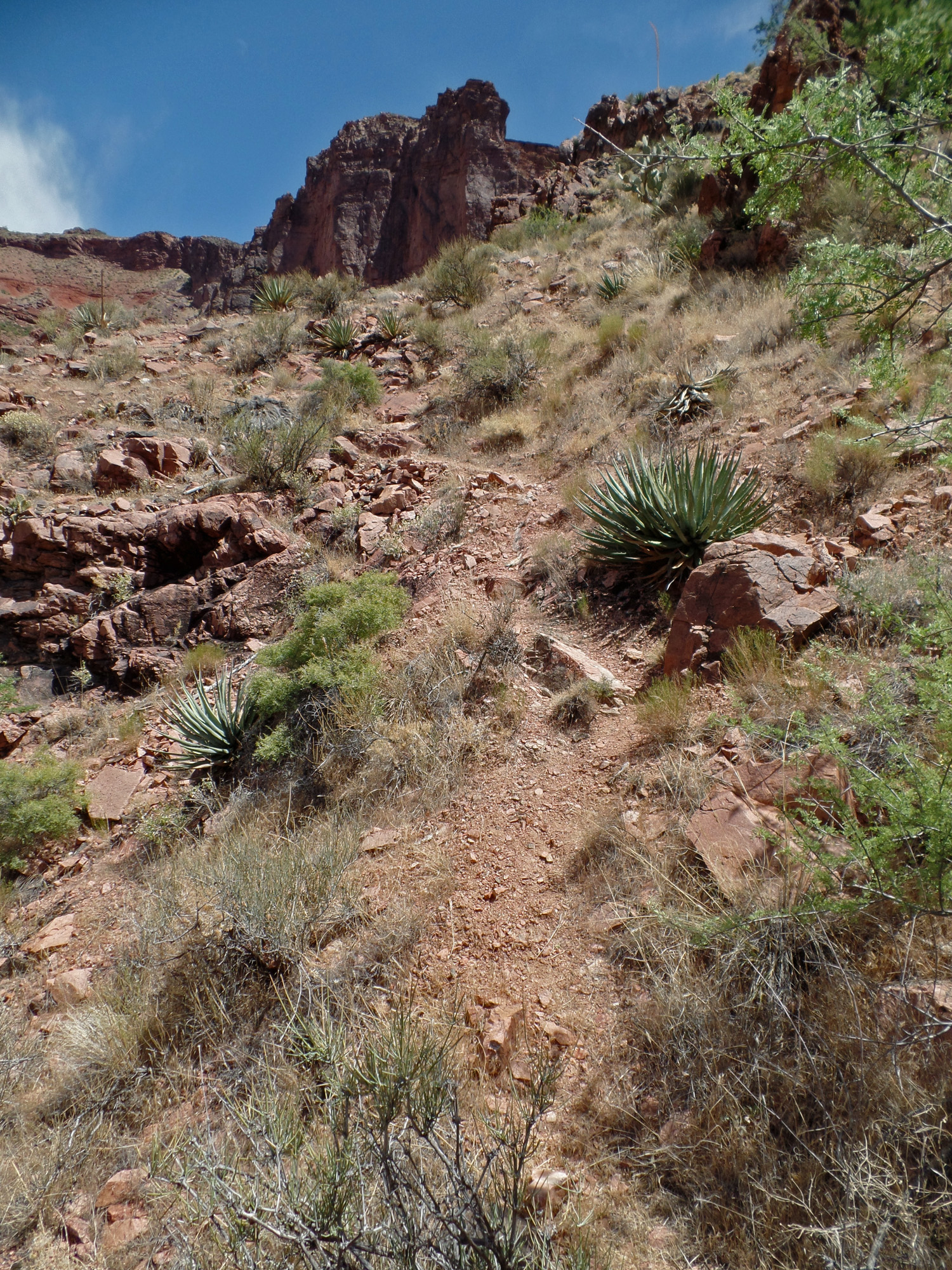
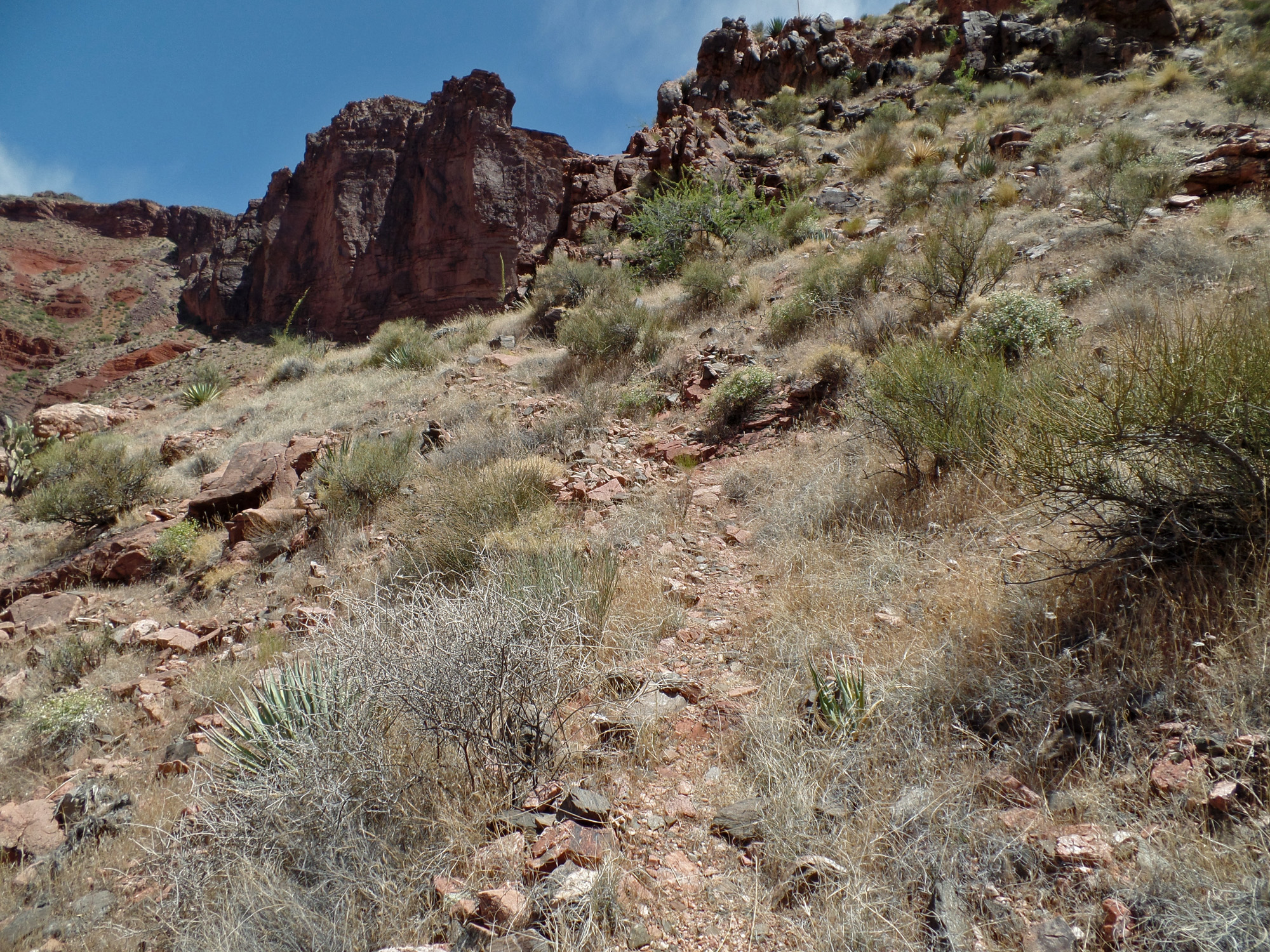
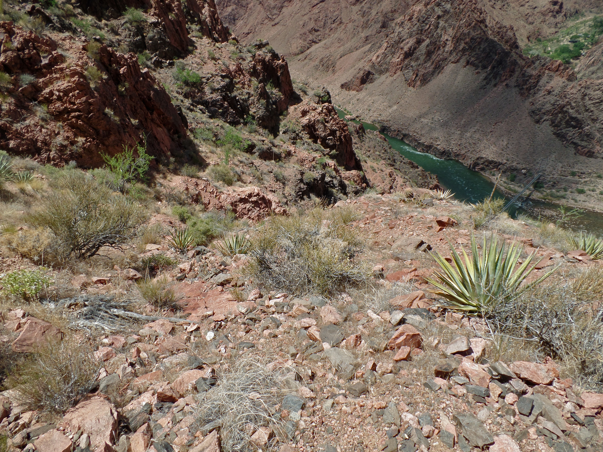
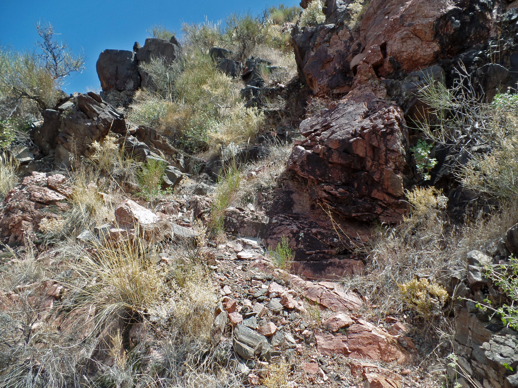
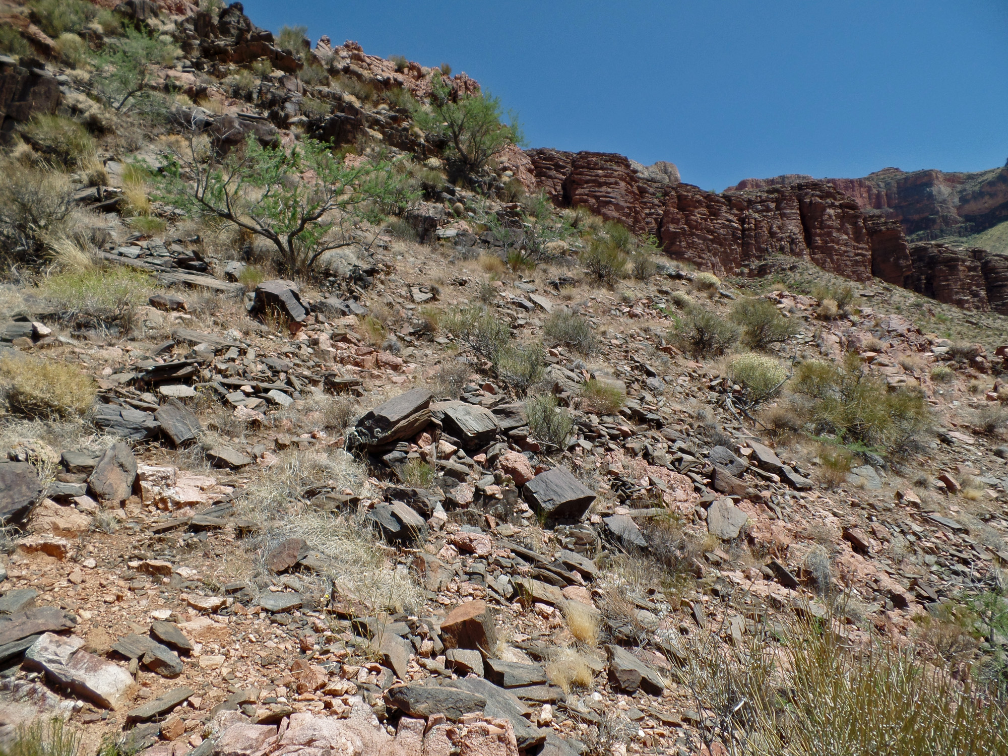
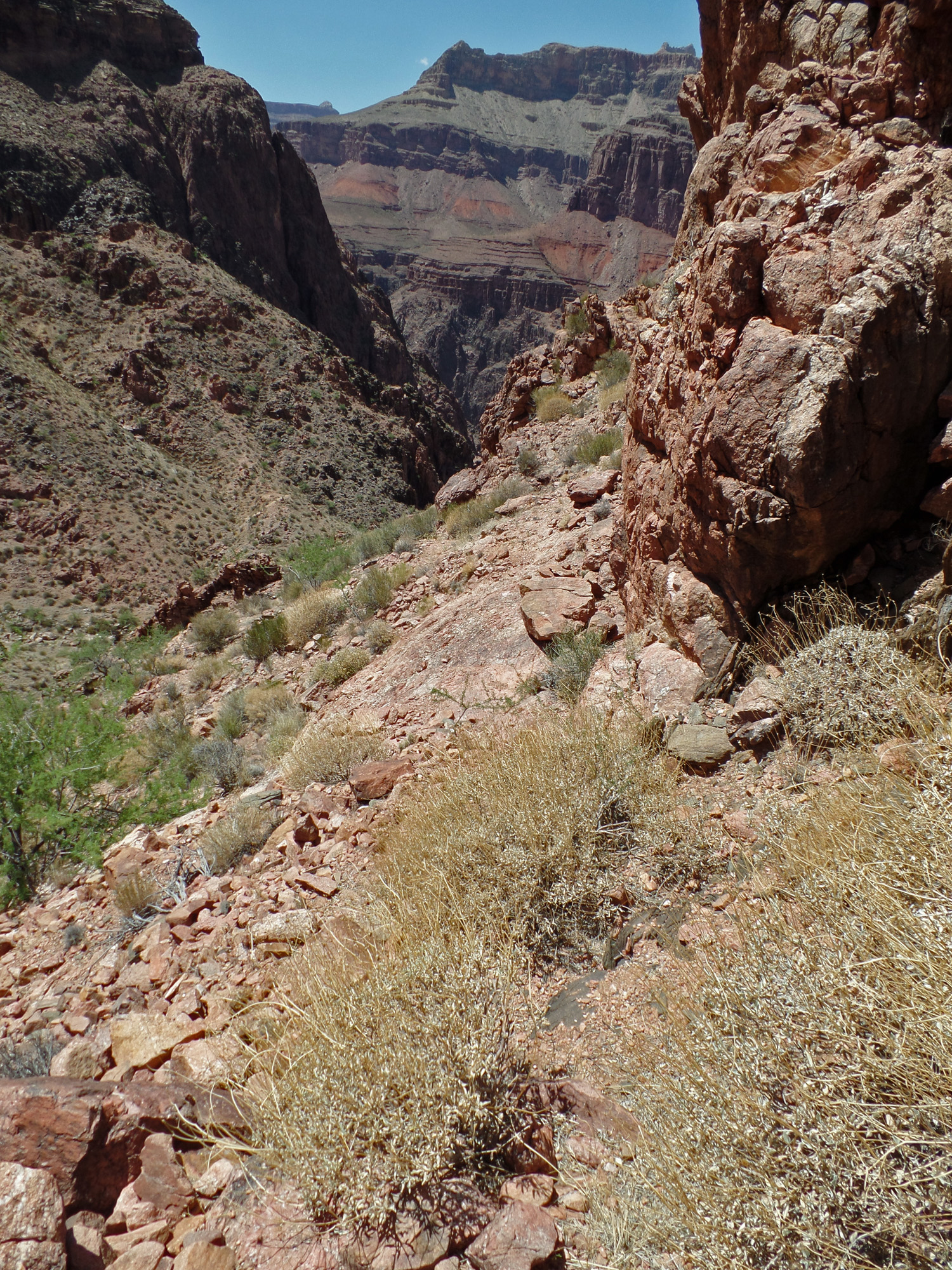
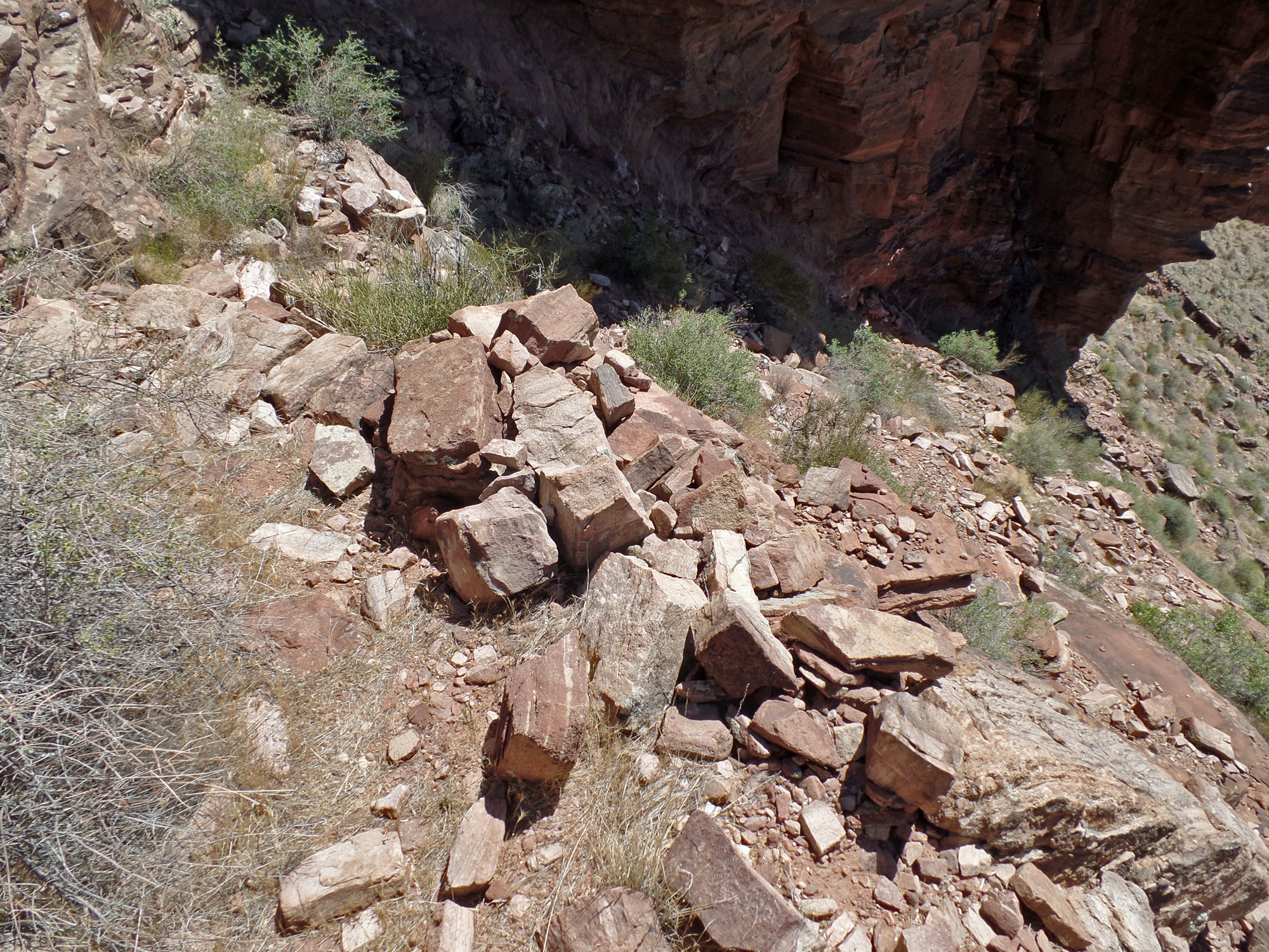
| At the very point where the River Trail turns, you head up the ravine and look for the path as shown to the left. I placed a small cairn at the yellow dot. At least twice before I've headed up as shown by the red arrows which is steep and full of loose rocks, but which the deer seem to prefer. 12:41 | The view looking back down after a couple of switchbacks. The arrow on the right shows the same part of this trail as the lowest arrow on the previous photo. The small tree (probably a catclaw) obscures the route which is why I think I missed it even on this hike. 12:54 | Quite often the path is easy to follow and in good shape. It generally stays out of the ravine and so hasn't been washed away. 12:54 |
 |
 |
 |
| 12:57 | 12:57 | 12:58 |
 |
 |
 |
| 12:58 | 1:00 | 1:00 |
 |
 |
 |
| 1:01 | 1:05 | 1:05 |
 |
 |
 |
| 1:05 | 1:08 | 1:08 |
 |
 |
 |
| 1:11 | 1:11 | 1:12 |
 |
 |
 |
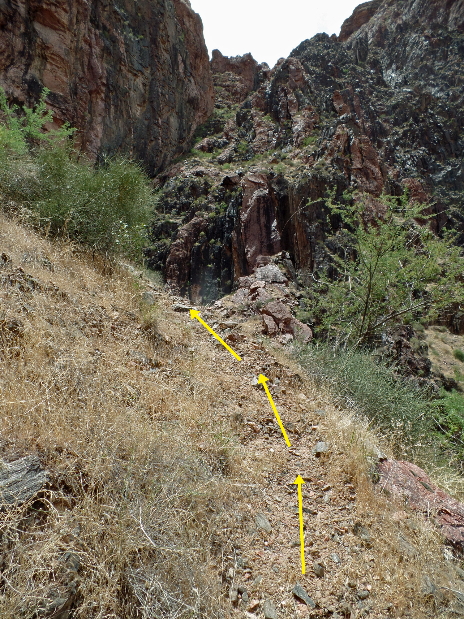
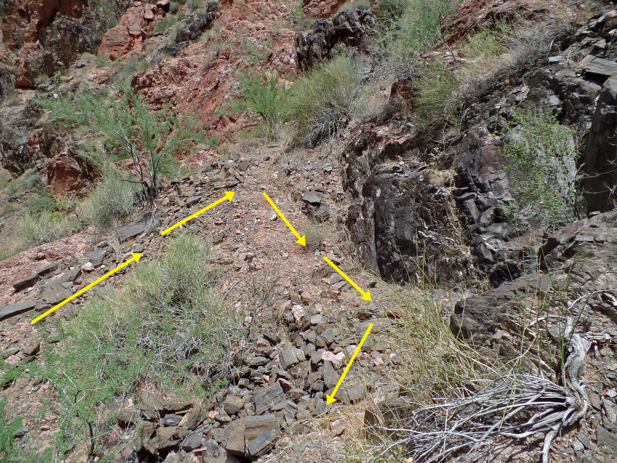
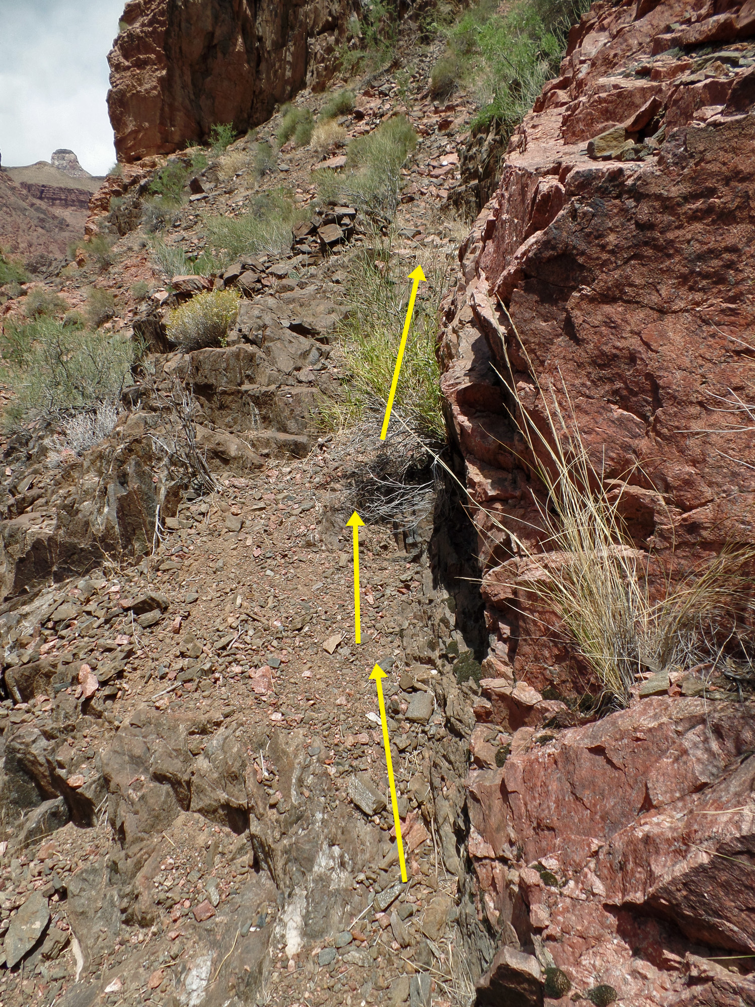
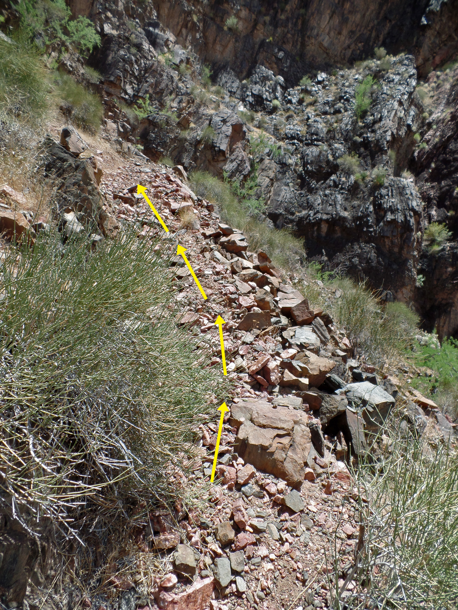
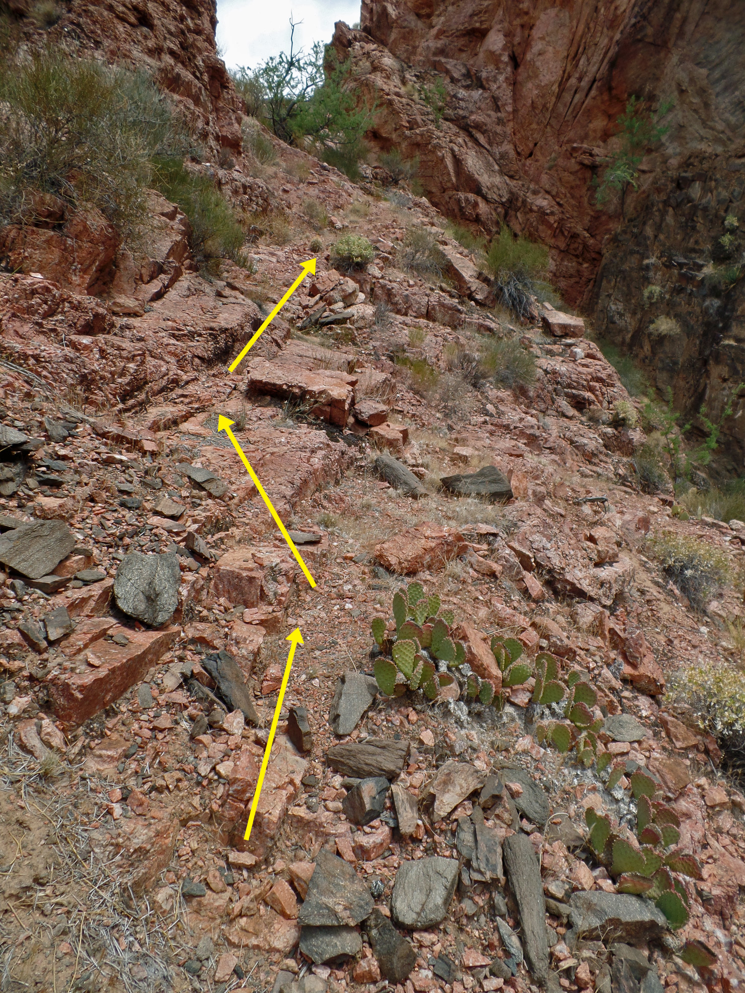
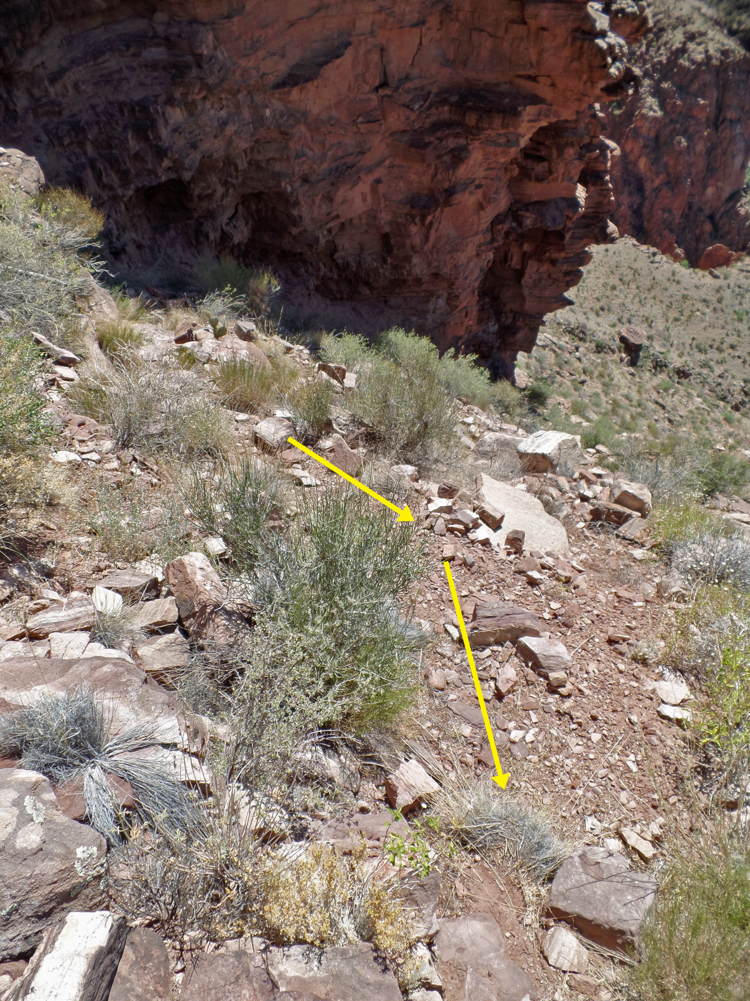
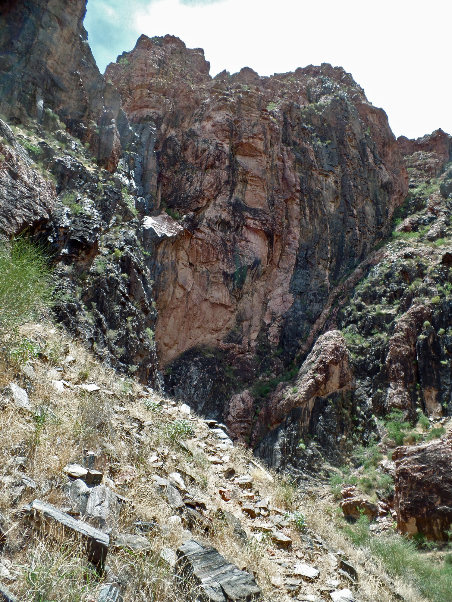
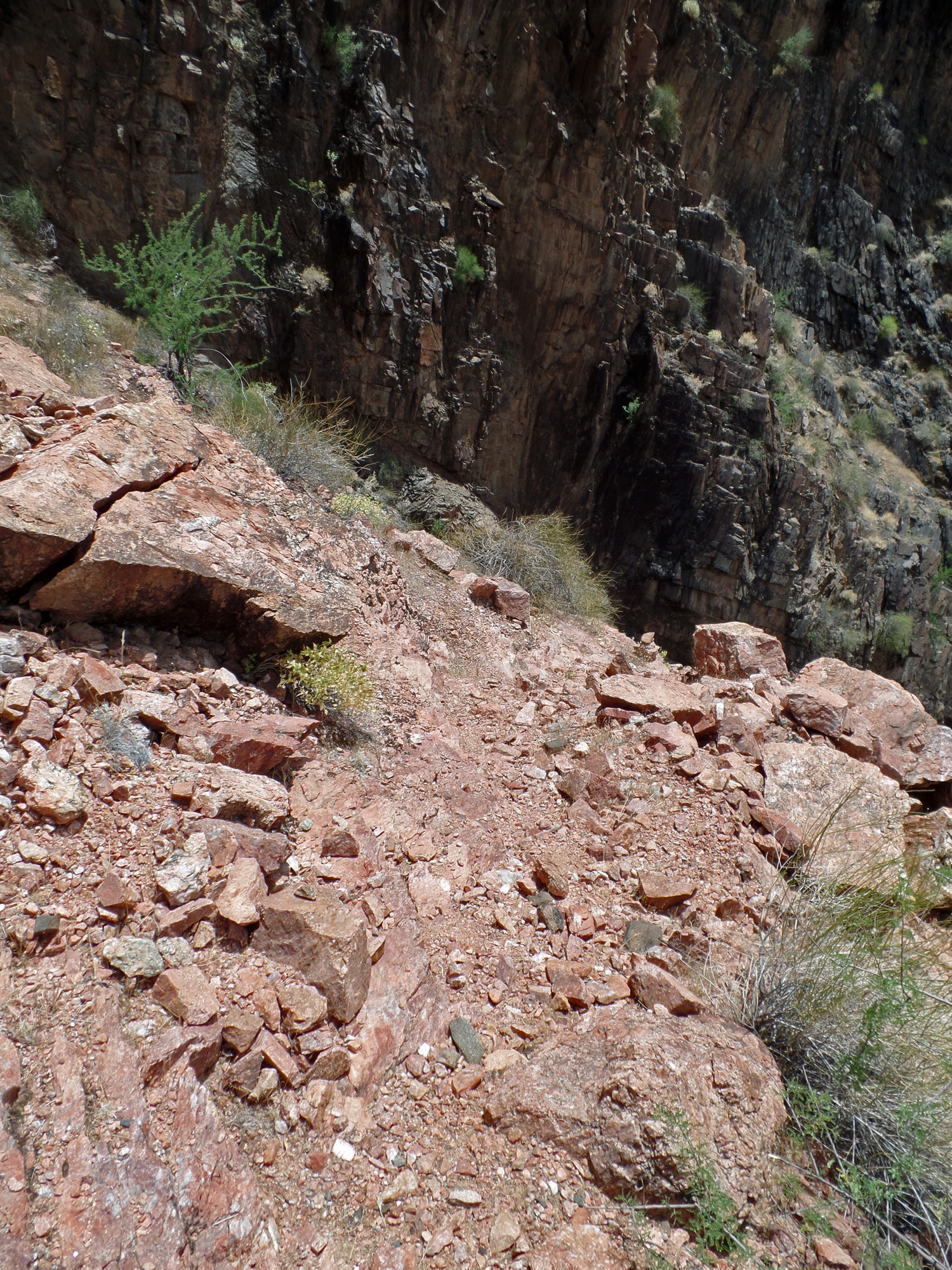
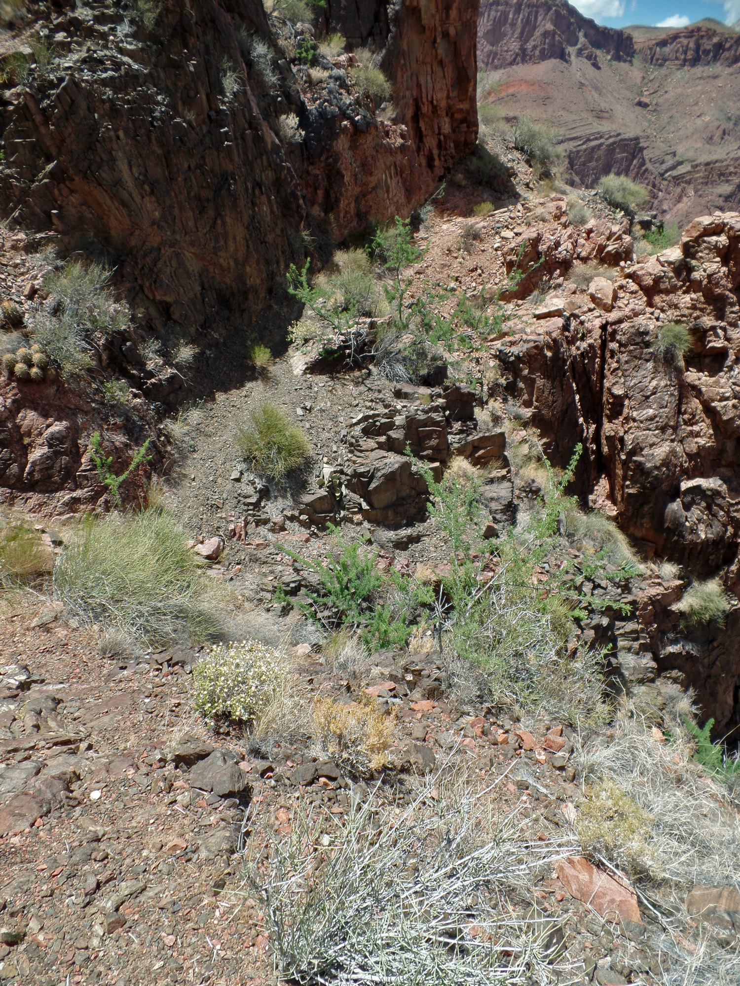
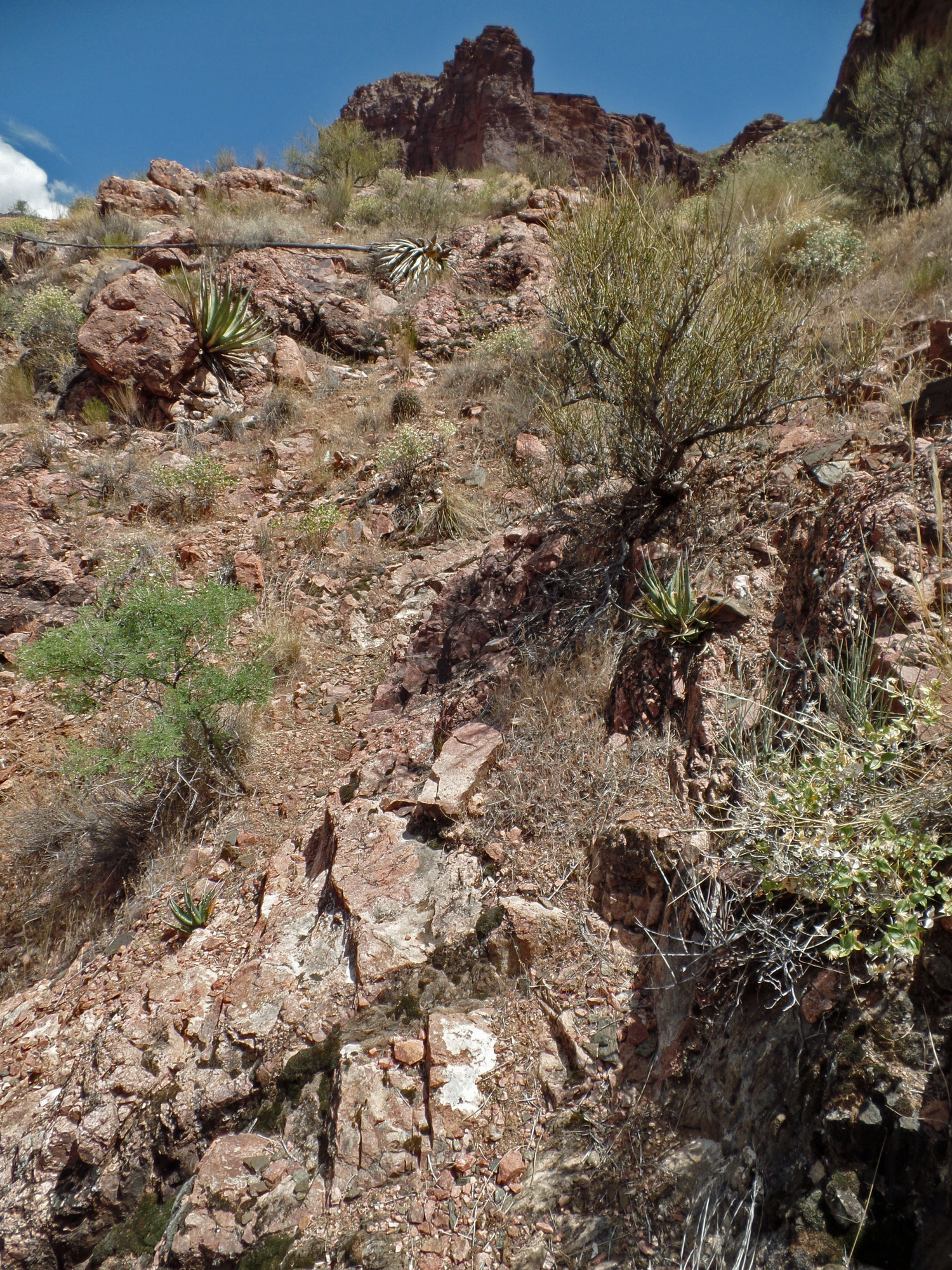
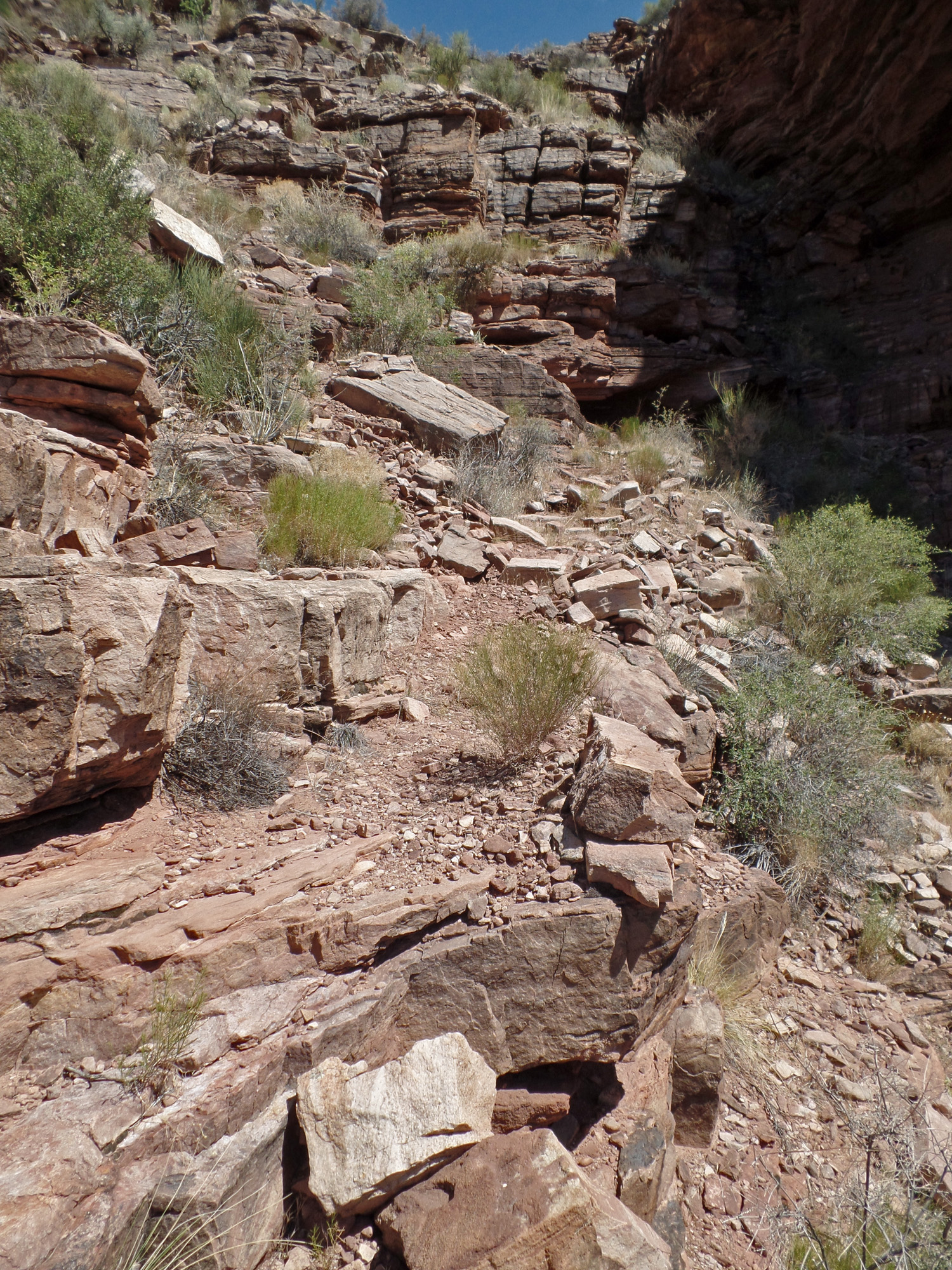
| From here one may be mislead into the ravine, which wouldn't be horrible. You can climb up the rocky slope to the low saddle. The actual trail veers to the left. 1:12 | A very memorable spot where you scramble up a short rocky ramp. If you ended up in the ravine, you wouldn't see this! 1:15 | 1:15 |
 |
 |
 |
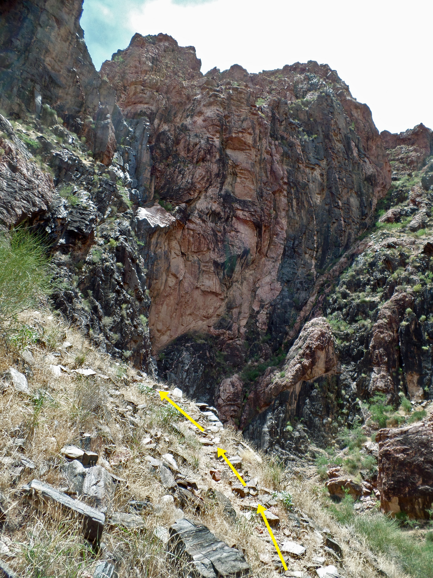
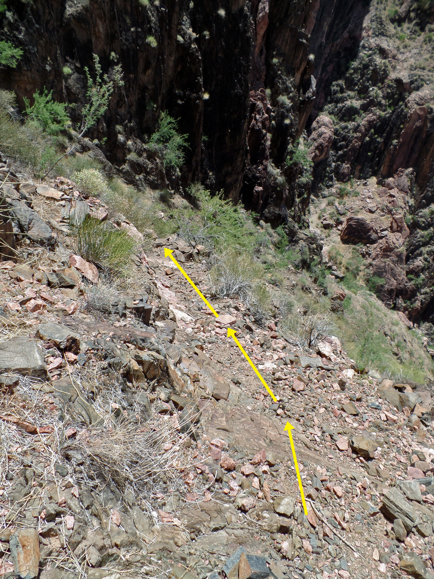
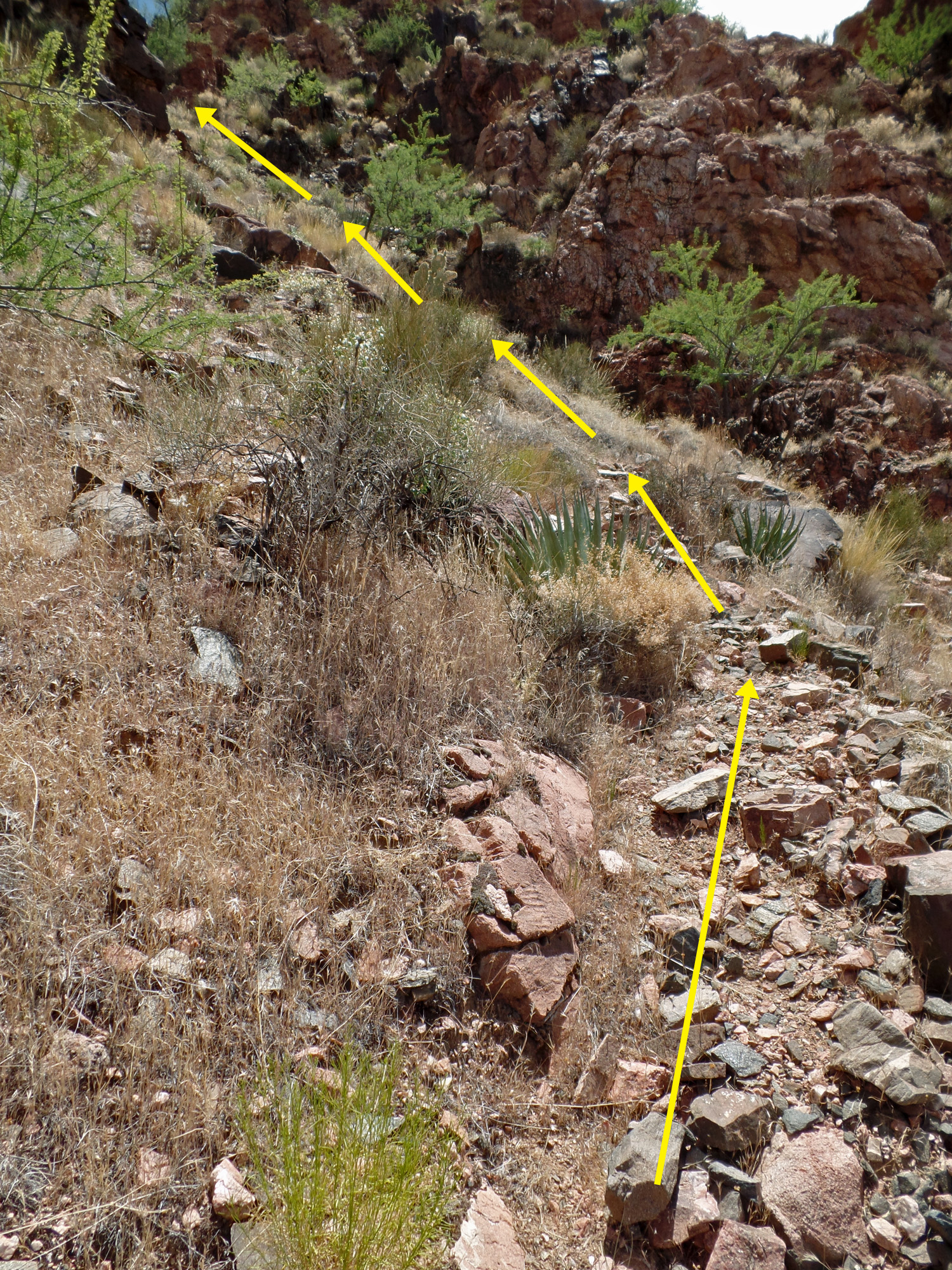
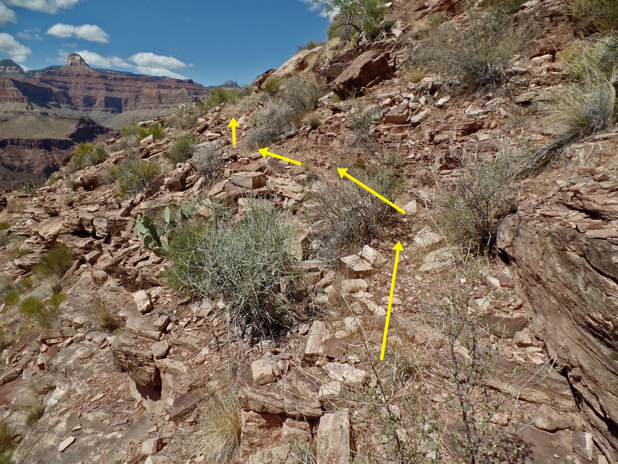
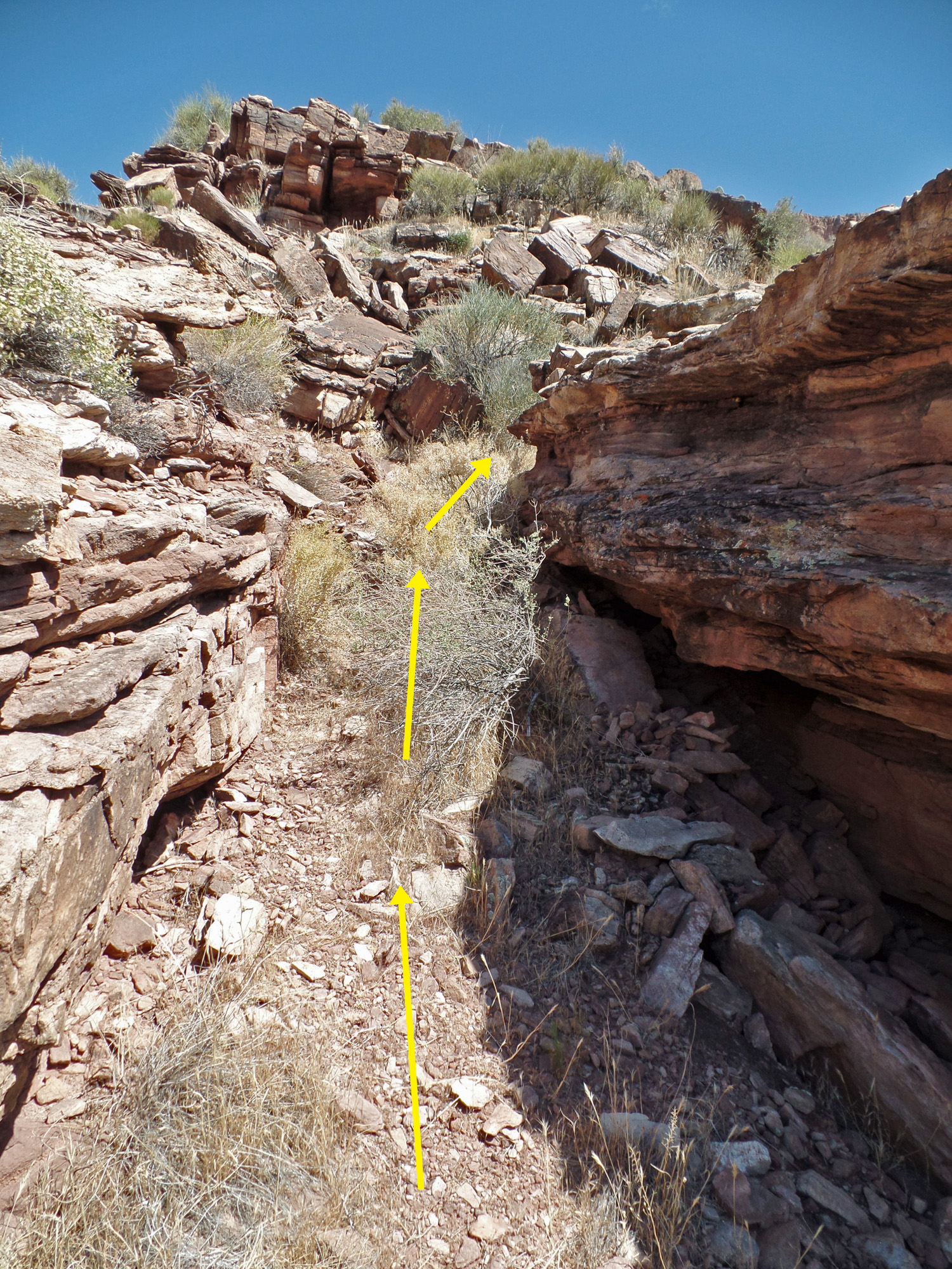
| I am sure I have seen cairns along here in the past, but none today. I added a few at some strategic spots like this one circled. 1:18 | A little bit of a scramble to finally reach the low saddle. 1:19 | Great views from this saddle. 1:22 |
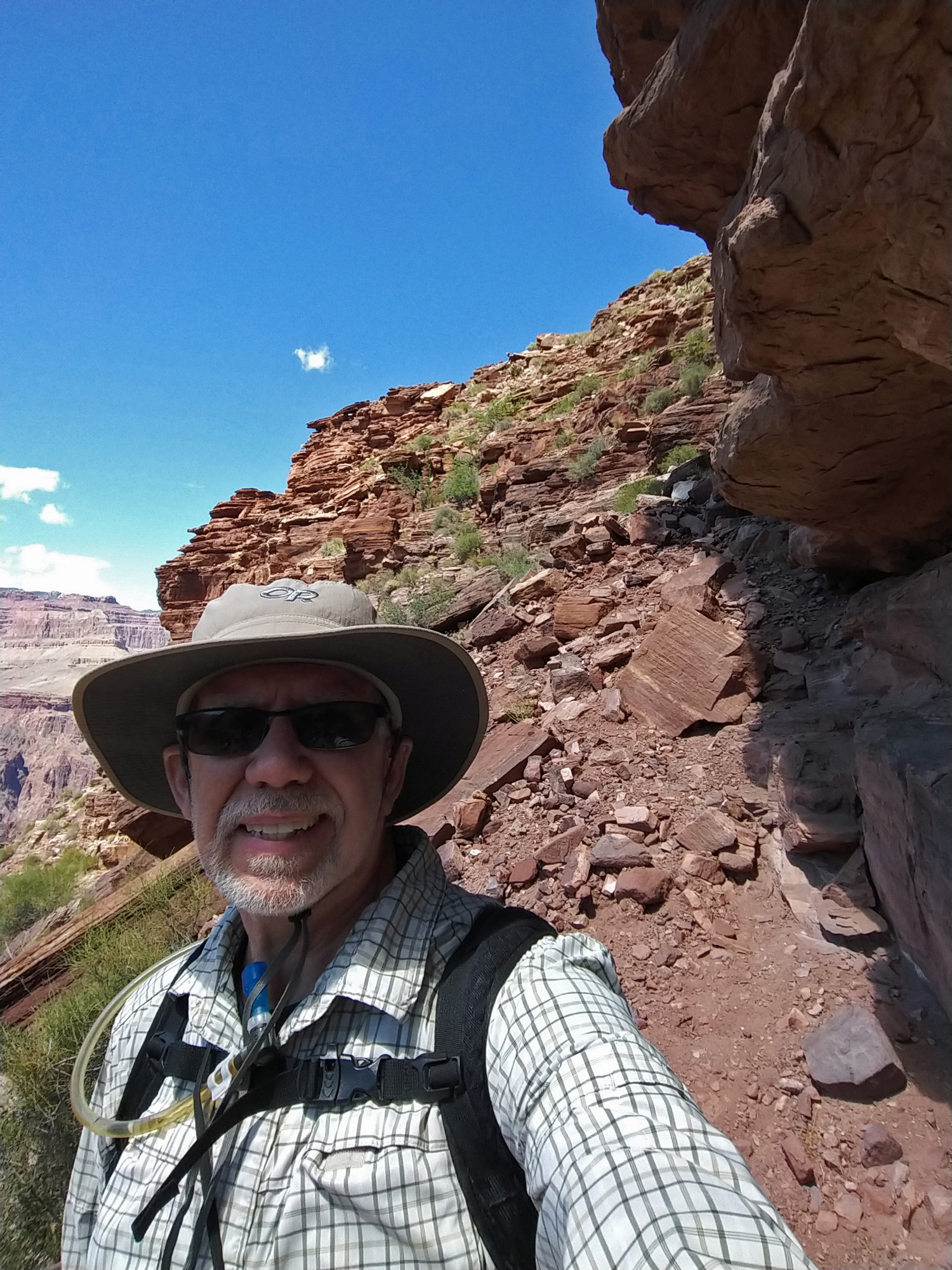
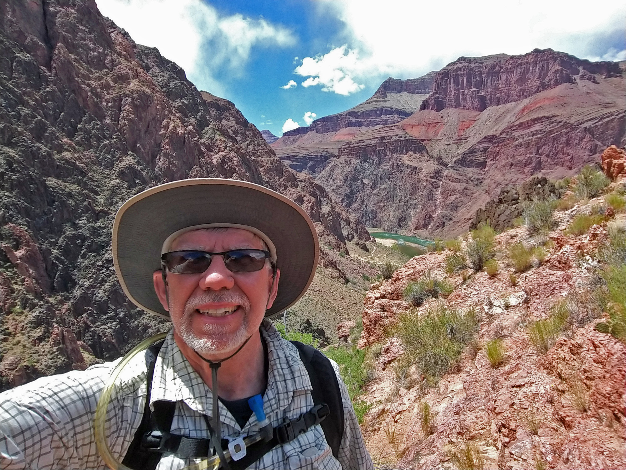 At the saddle - selfie to the west. |
 At the saddle - selfie to the east. Right above me is the South Kaibab Trail! |
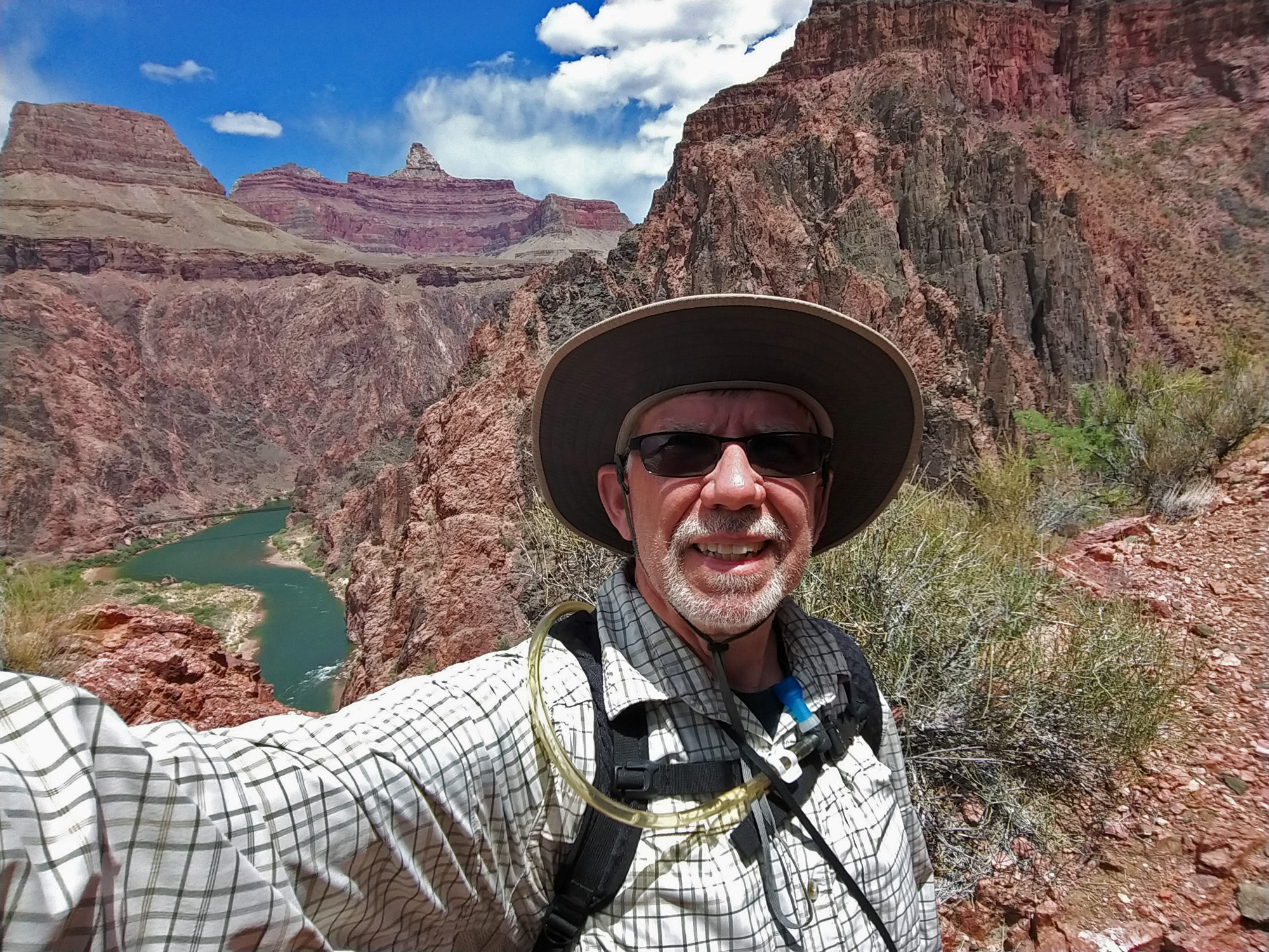 At the saddle - selfie to the north. |
| Excerpts from Francois
Matthes' journal: Tuesday,
Aug. 5, 1902 Wednesday, Aug. 6,
1902 |
|
|
||
|
Click on any picture to see a larger image. |
||
|
|
||
|
From the low saddle to the high saddle |
||
|
|
||
 |
 |
 |
| 1:25 | Can even see the silver bridge! 1:26 | 1:28 |
 |
 |
 |
| 1:28 | Nice view of two lower segments of the trail. 1:30 | Great panoramas here. 1:30 |
 |
 |
 |
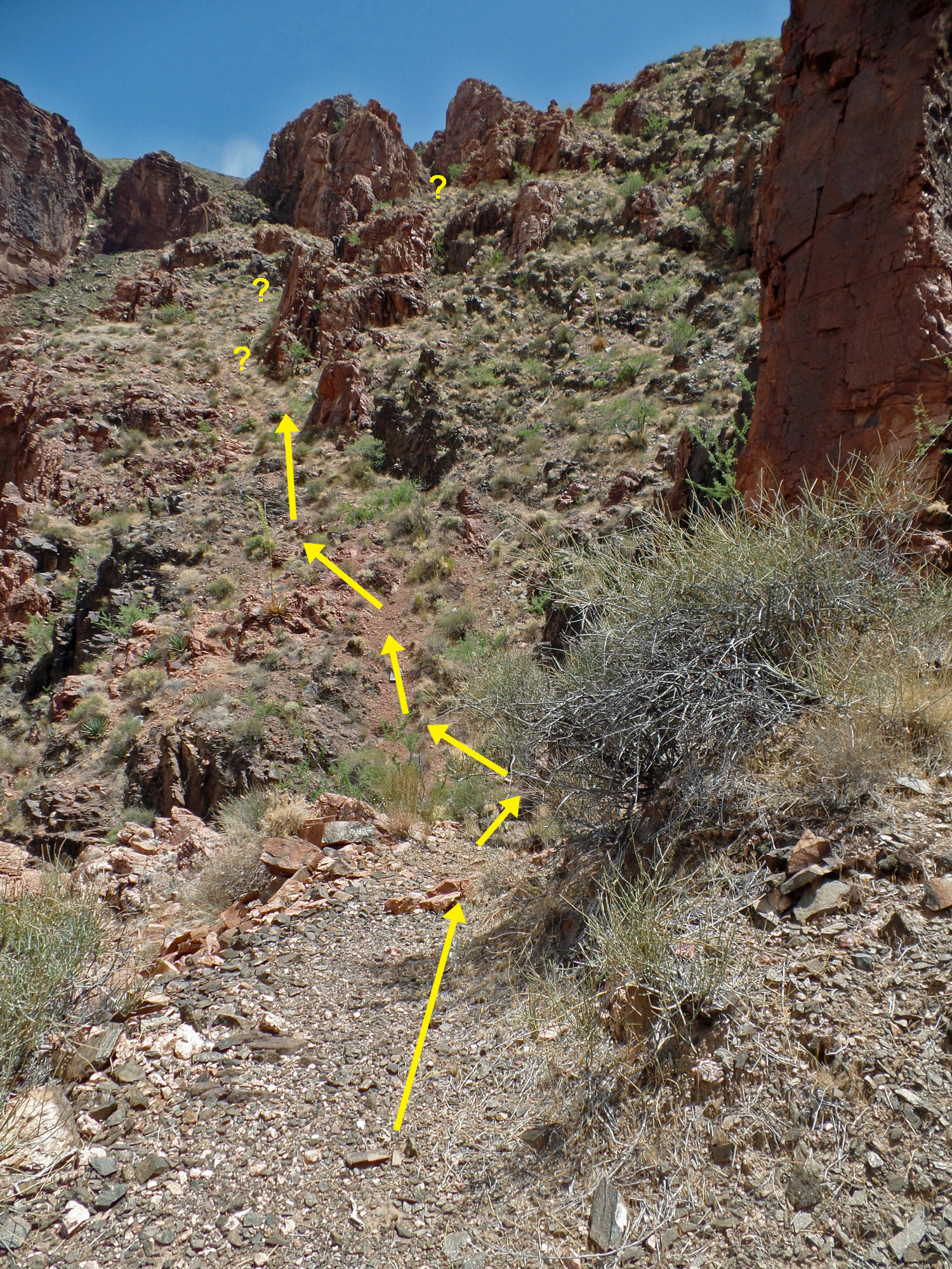
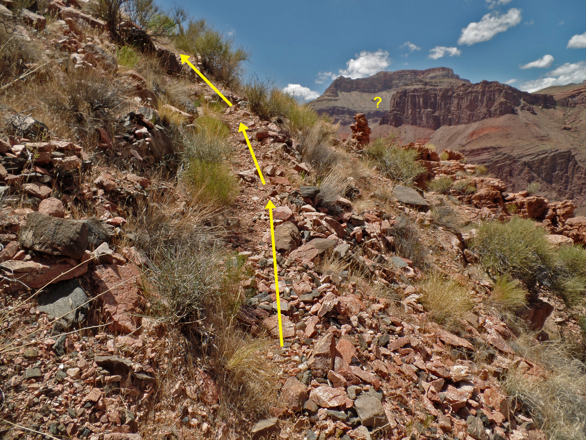
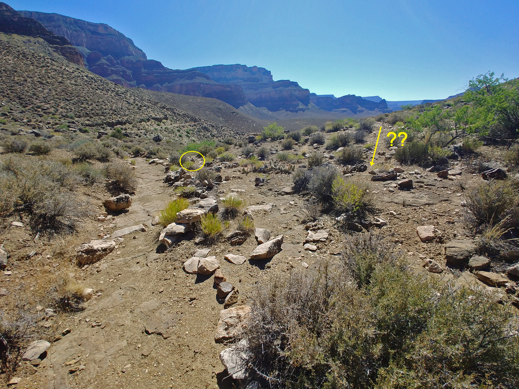
| It seems like I've only just come straight up from the river! 1:33 | I can't say for sure where the trail goes, but I think it follows the question marks. 1:33 | I could see this segment in the photos from 1:39, 1:43 and 1:44. 1:36 |
 |
 |
 |
| 1:36 | 1:39 | 1:39 |
 |
 |
 |
| 1:40 | 1:42 | 1:43 |
 |
 |
 |
| 1:44 | 1:44 | 1:45 |
 |
 |
 |
| 1:45 | 1:48 | 1:48 |
 |
 |
 |
| A natural cairn? 1:49 | Another natural cairn? 1:51 | 1:51 |
 |
 |
 |
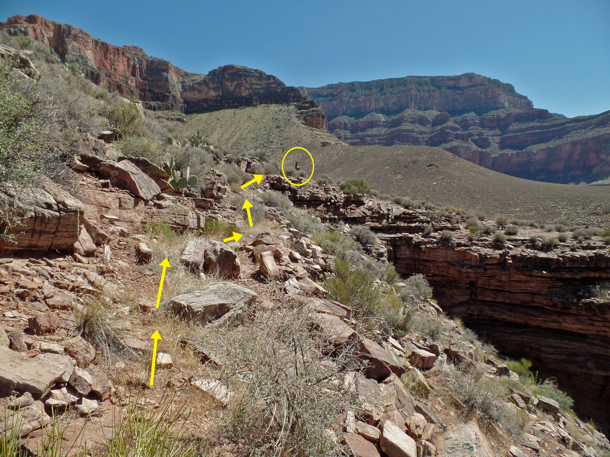
| 1:52 | South Kaibab Trail (*) 1:52 | 1:55 |
 |
 |
 |
| 1:55 | 1:56 | 1:57 |
 |
At the saddle - selfie to
the east. |
At the saddle - selfie to
the north. |
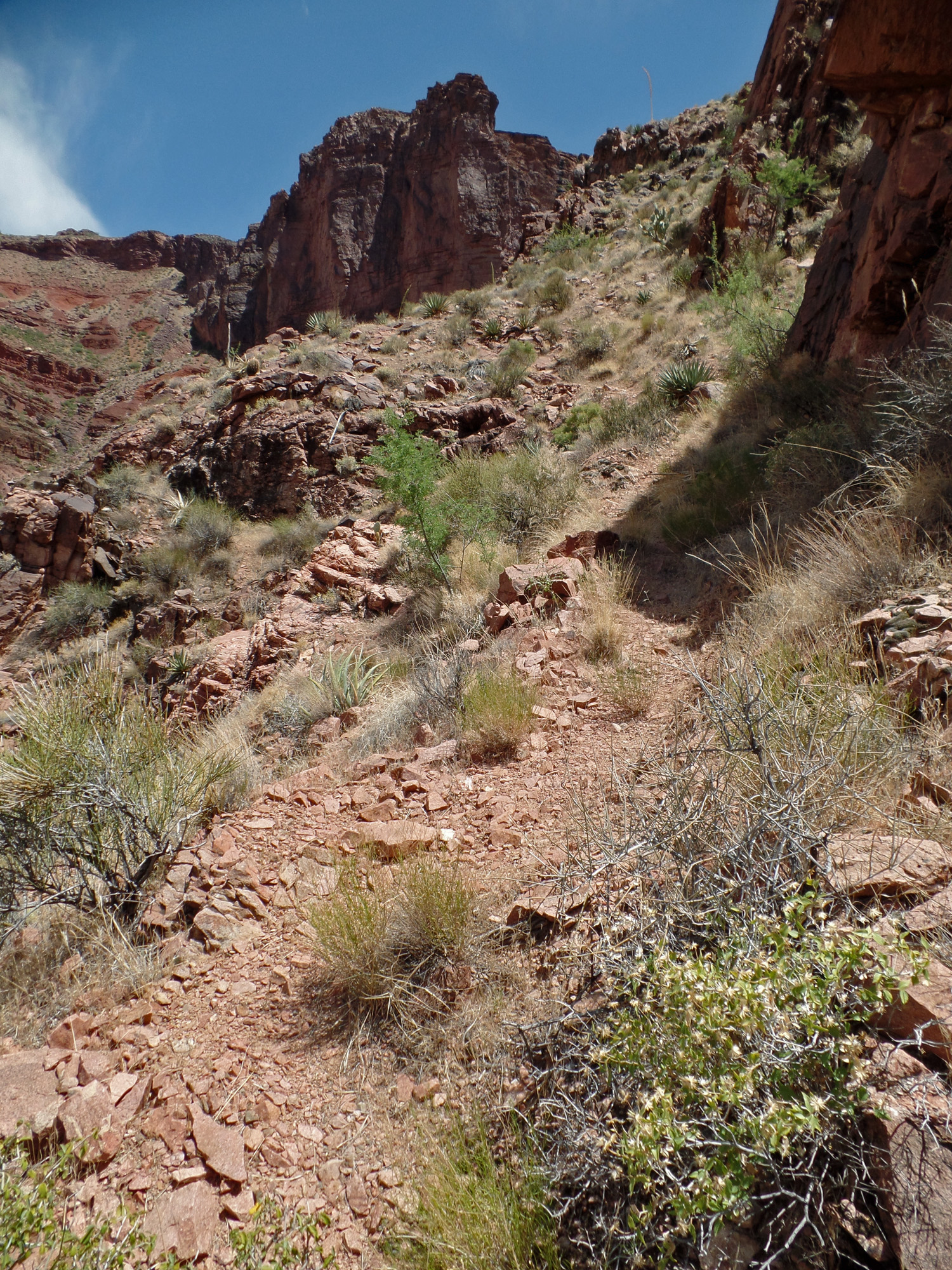
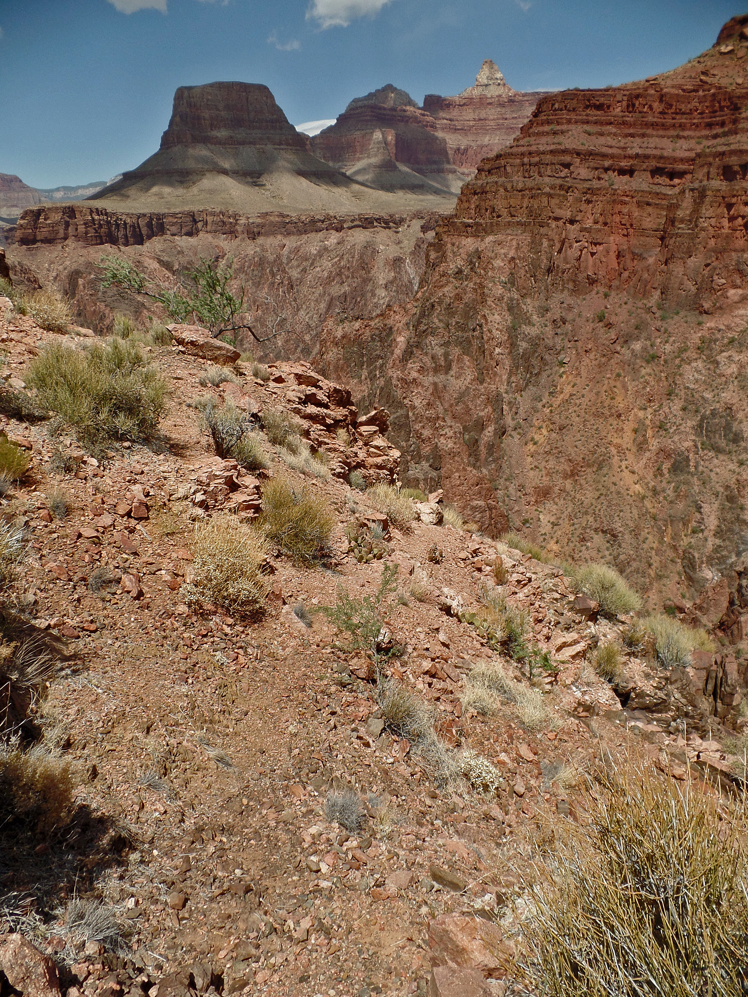
| Nearing the high saddle. 1:57 | ||
| Matthes crossed to the
north side of the canyon to continue his mapping via the South and North
Bass Trails. But, when he was at the end of this portion of his
survey he was above Bright Angel Canyon and learned of a trail that came
out and so opted to return to the South Rim by coming down Bright Angel
Creek and then crossing over the river and up the Wash Henry trail.
In 1903 he brought a steel boat, separated into two parts, to the canyon
to use for this crossing. He and his party crossed over in
mid-October and returned in early November, but not without incident. Excerpt from Matthes' journal: Saturday, November
7, 1903 Sunday, November 8,
1903 |
|
|
||
|
Click on any picture to see a larger image. |
||
|
|
||
|
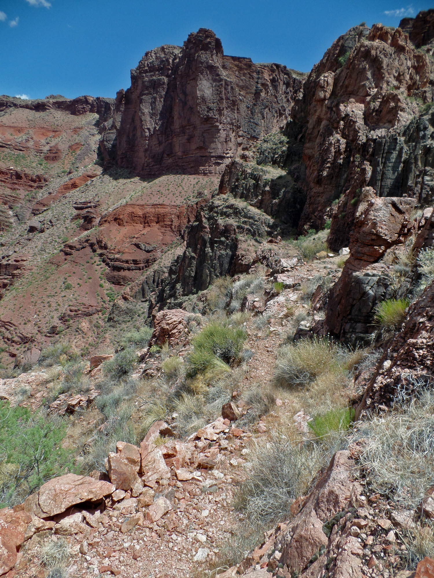
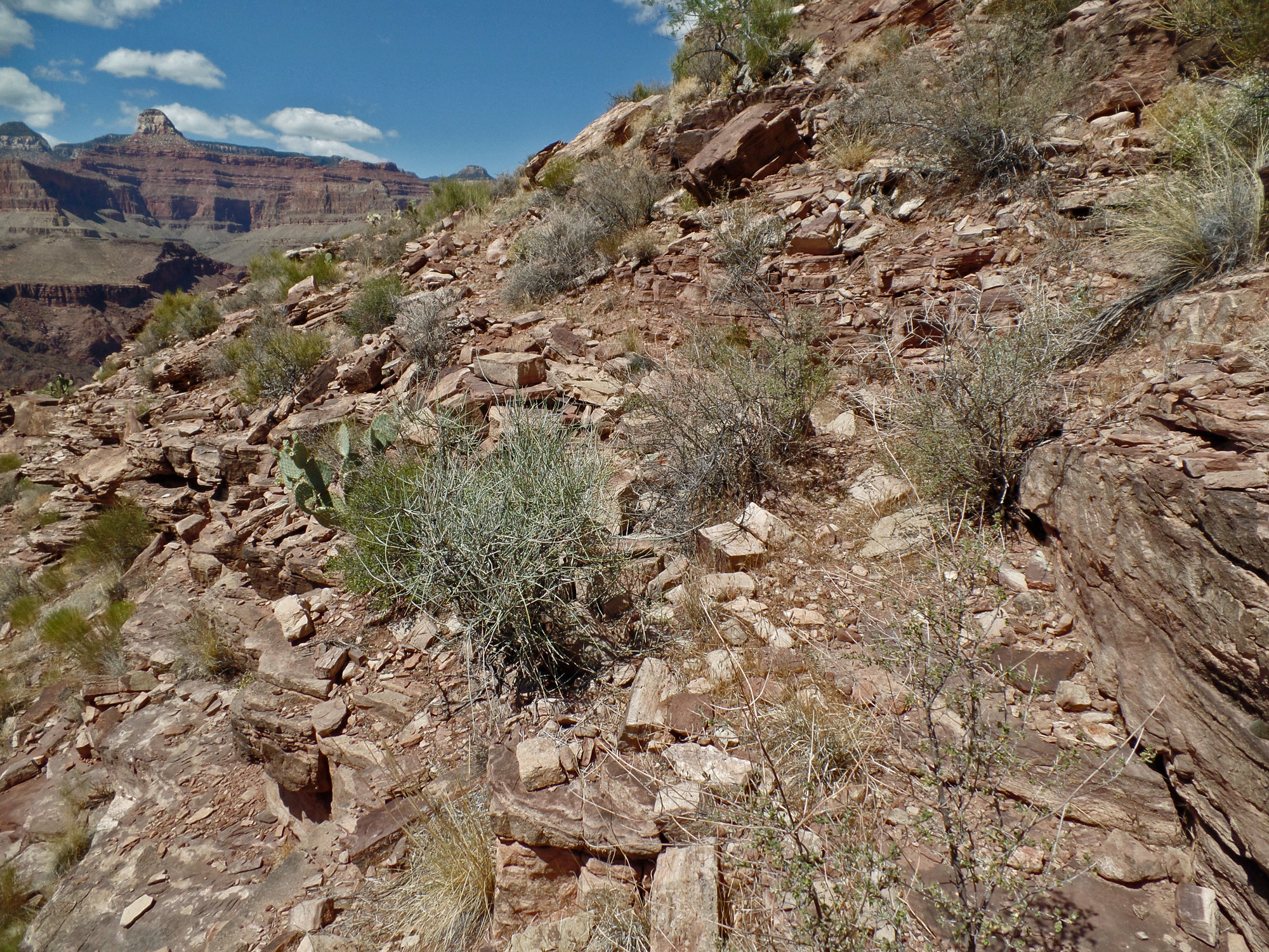
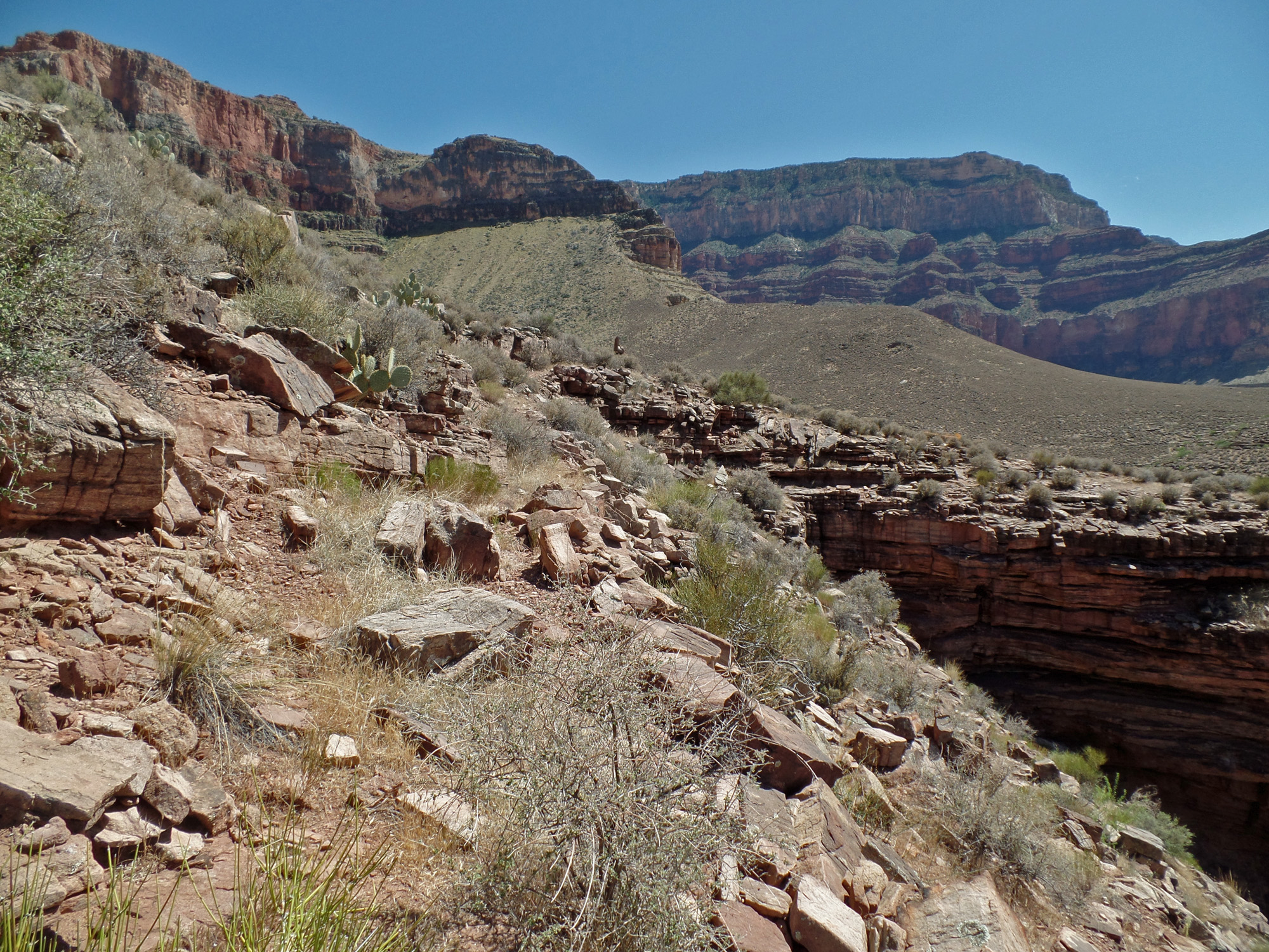
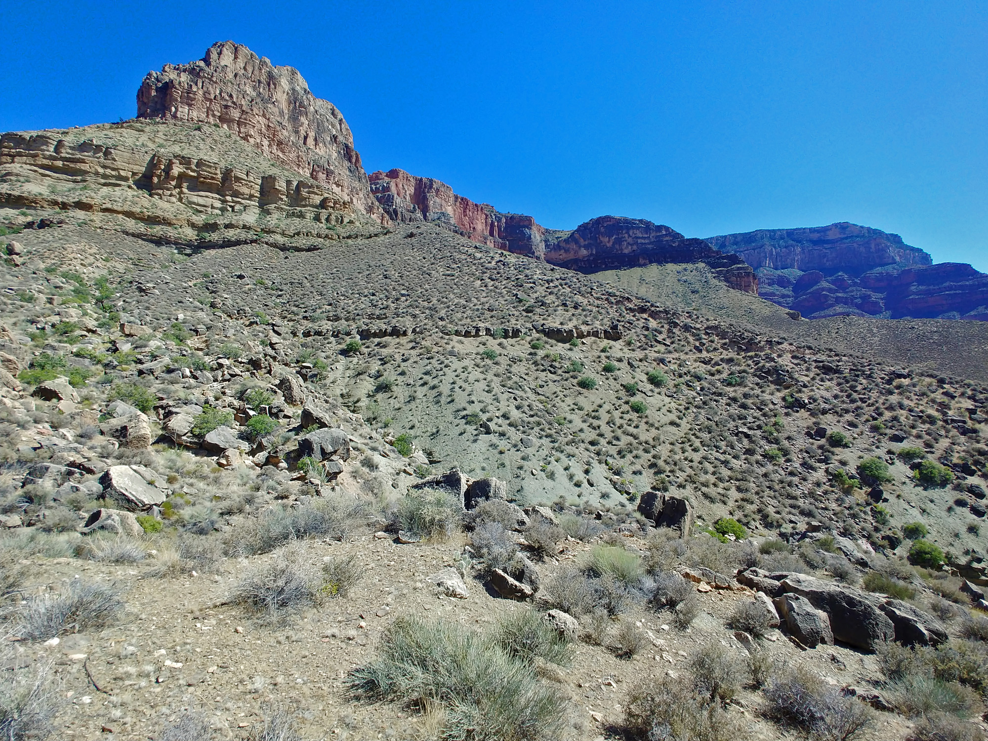
From the high saddle to the Tonto Trail |
||
|
|
||
 |
 |
 |
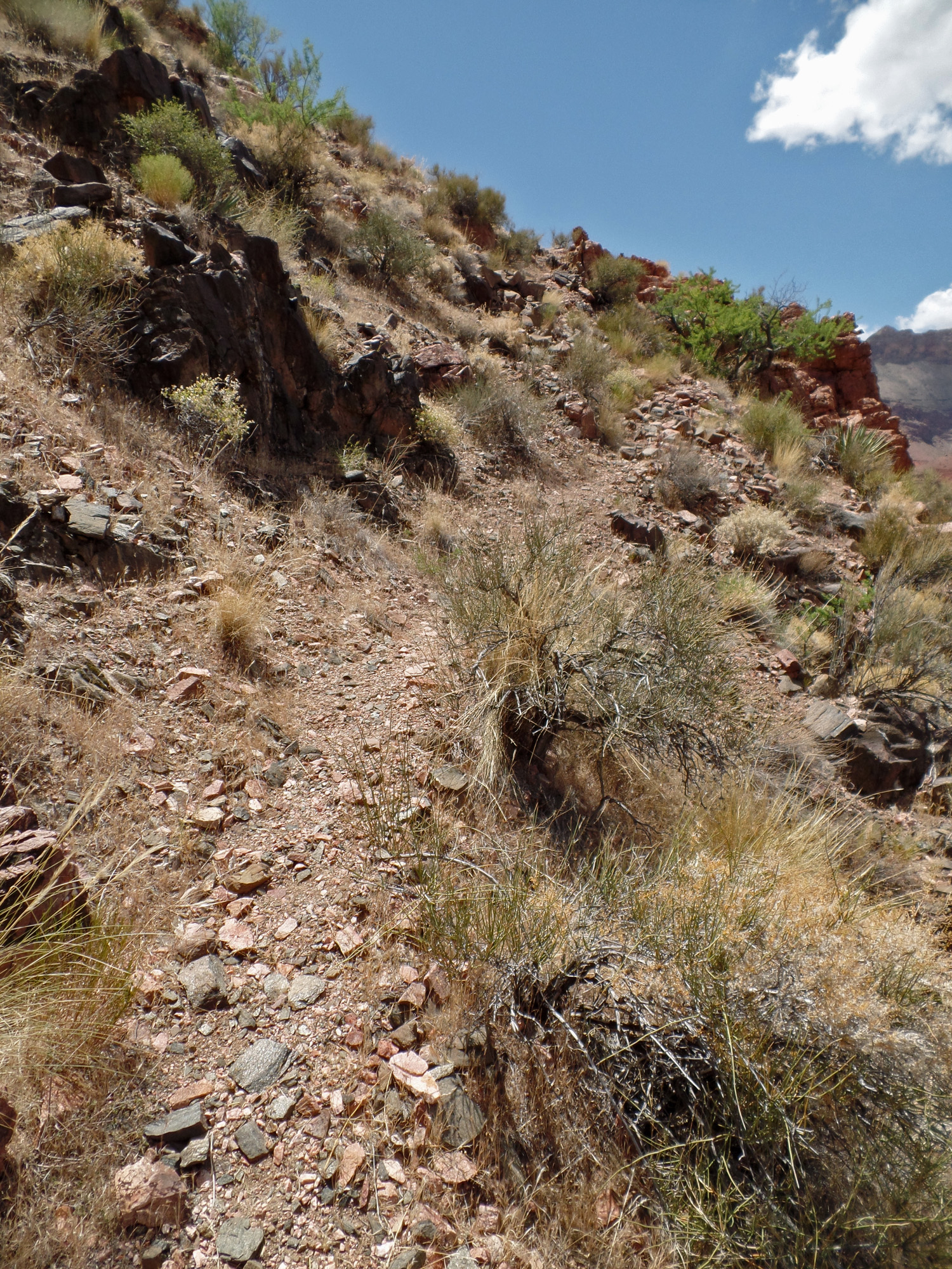
| Looking back on the high saddle. 2:01 | The route gets easier in that the slopes are gentle. No risk of knocking rocks down on the trail from here! 2:01 | 2:06 |
 |
 |
 |
| Looking back at the saddle. 2:06 | 2:08 | 2:10 |
 |
 |
 |
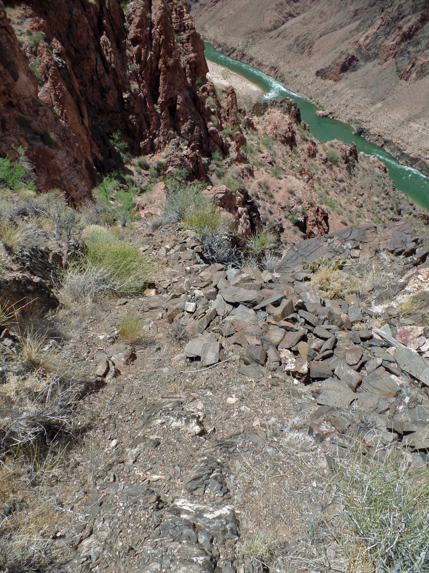
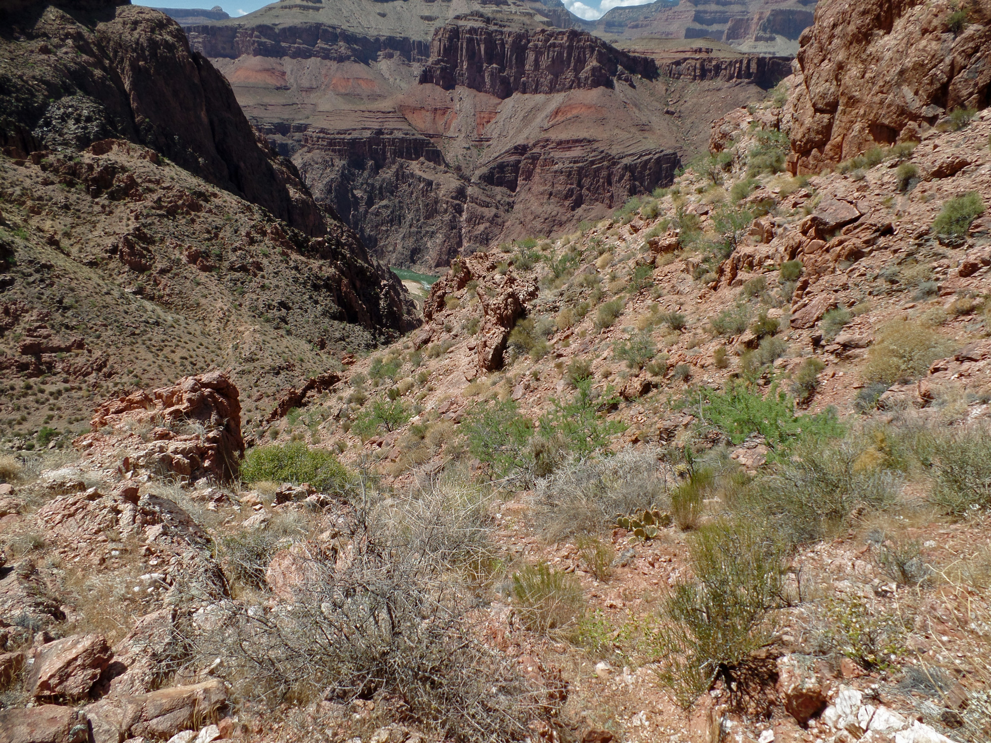
| First sight of the exit. It is along that seemingly-gentle looking slope. 2:12 | As high up as I've come, it seems that I'm still looking at the same view of the river! 2:12 | 2:17 |
 |
 |
 |
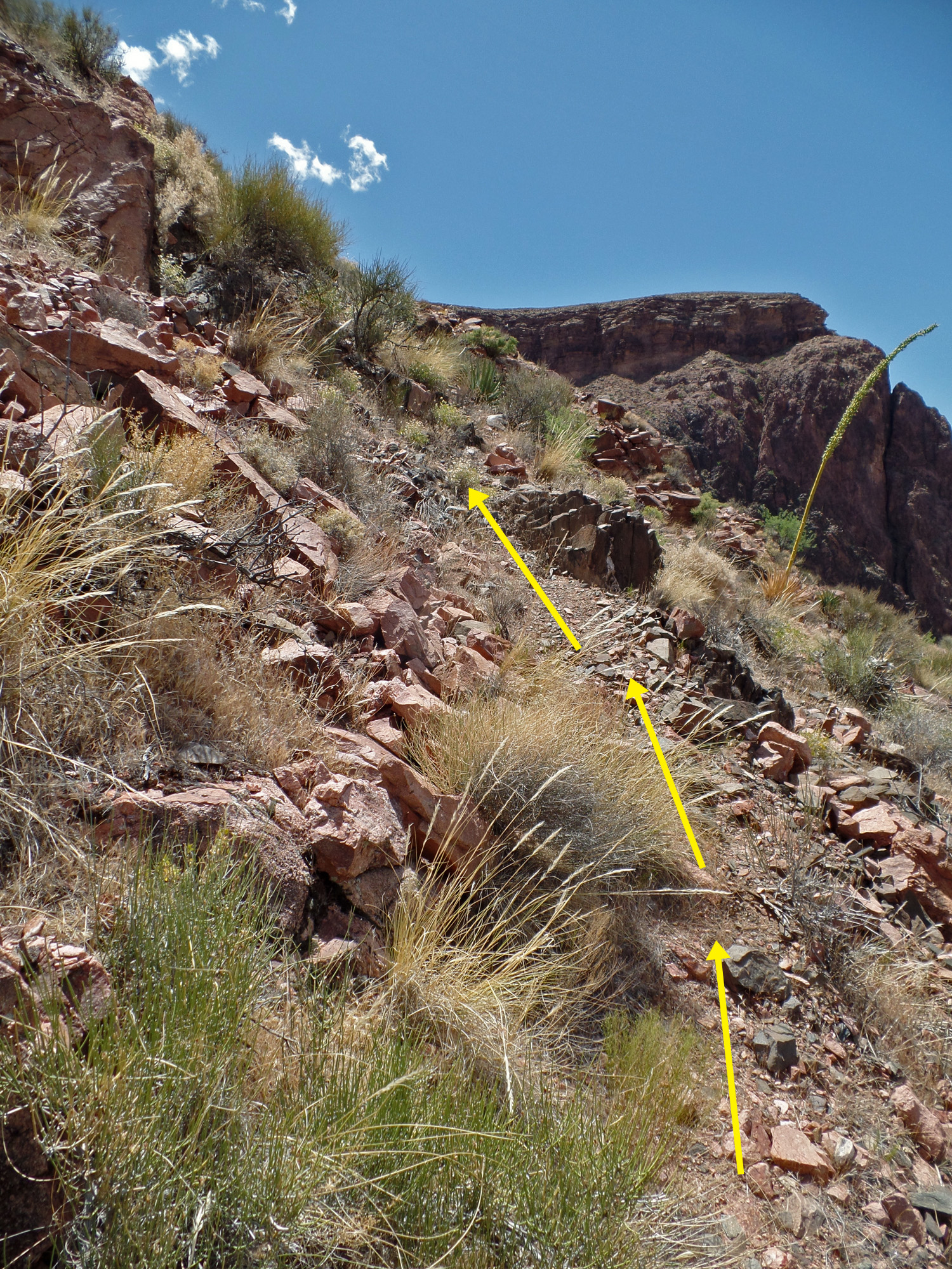
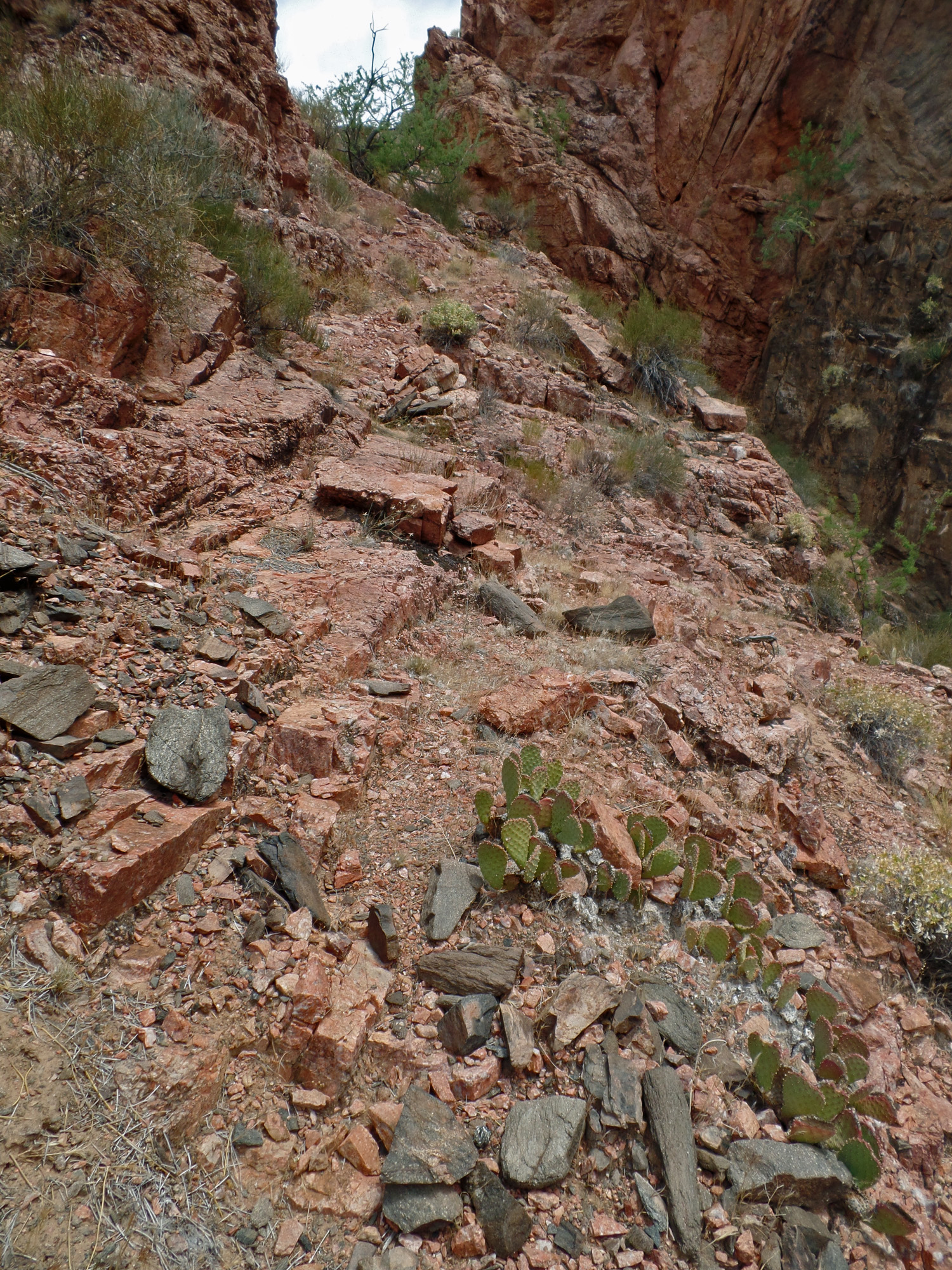
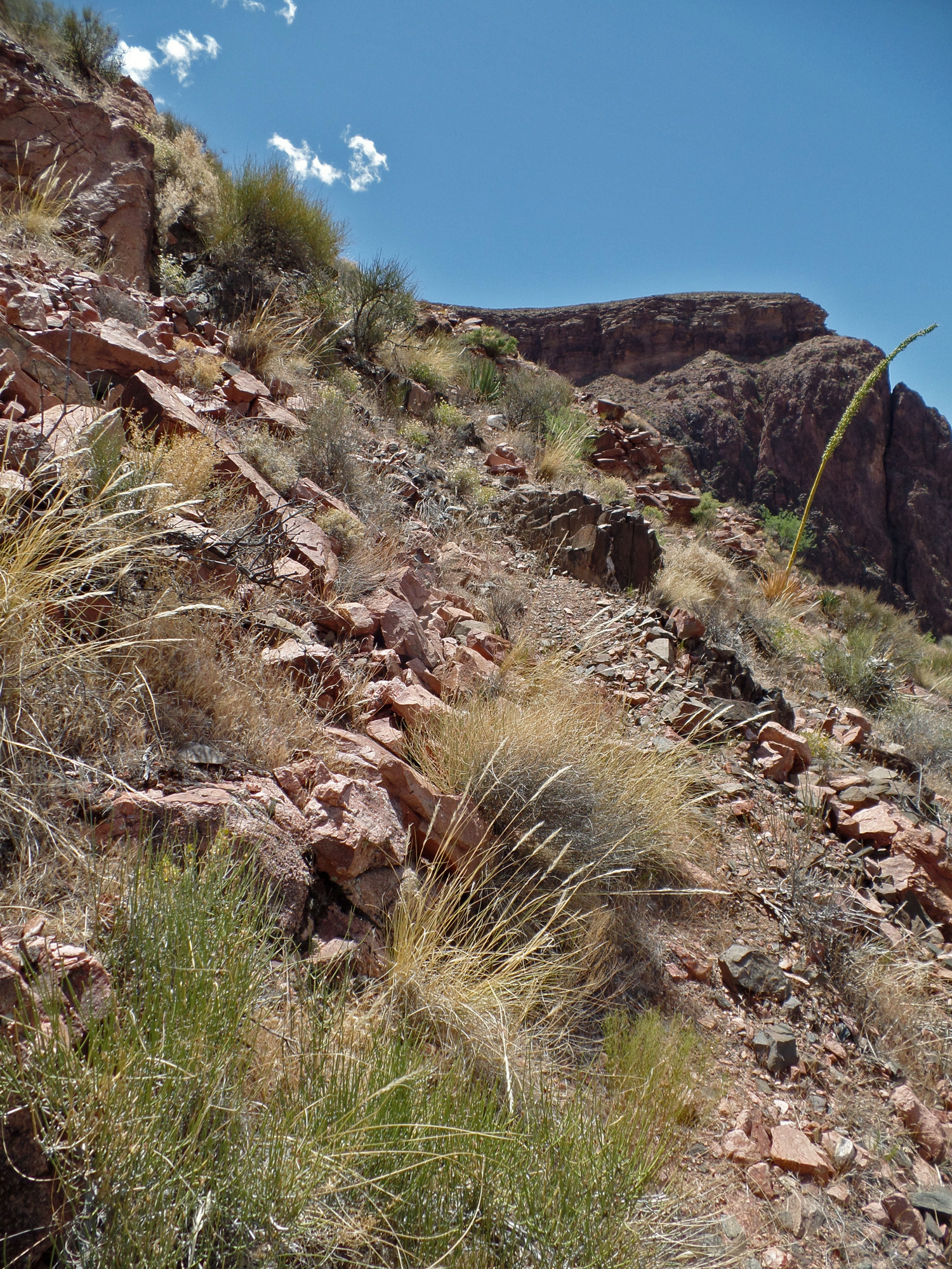
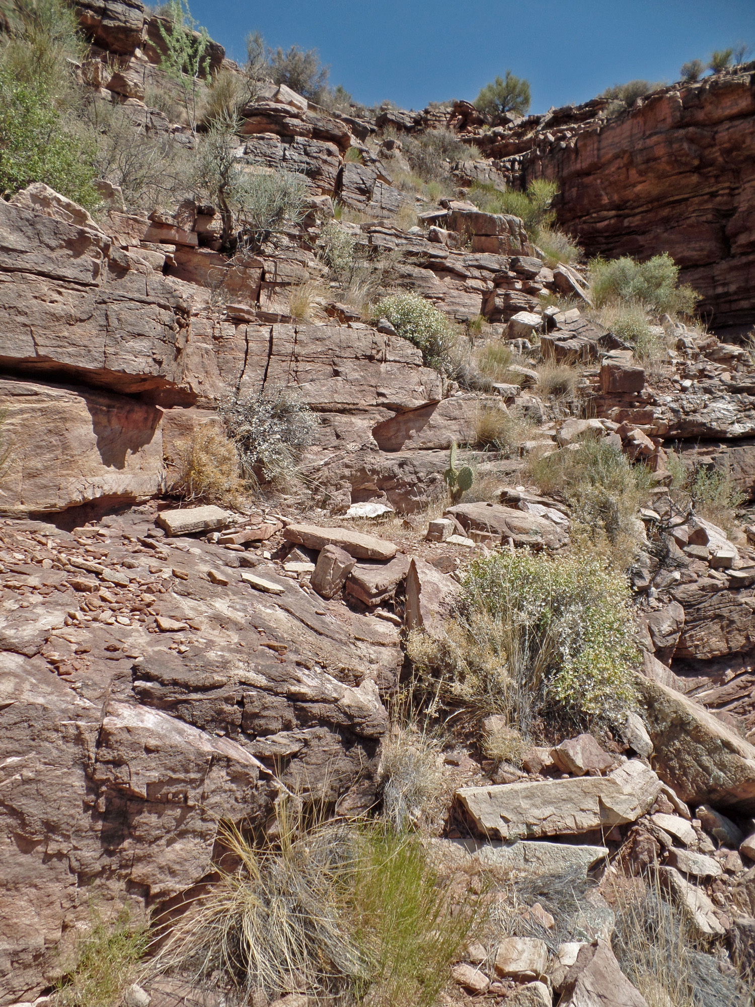
| As best I could tell, the trail stepped right across the rock that the upper arrow points to. Was I still on the right path? 2:17 | All looks pretty easy, but I found it harder to stay on the old trail through here. 2:19 | 2:20 |
 |
 |
 |
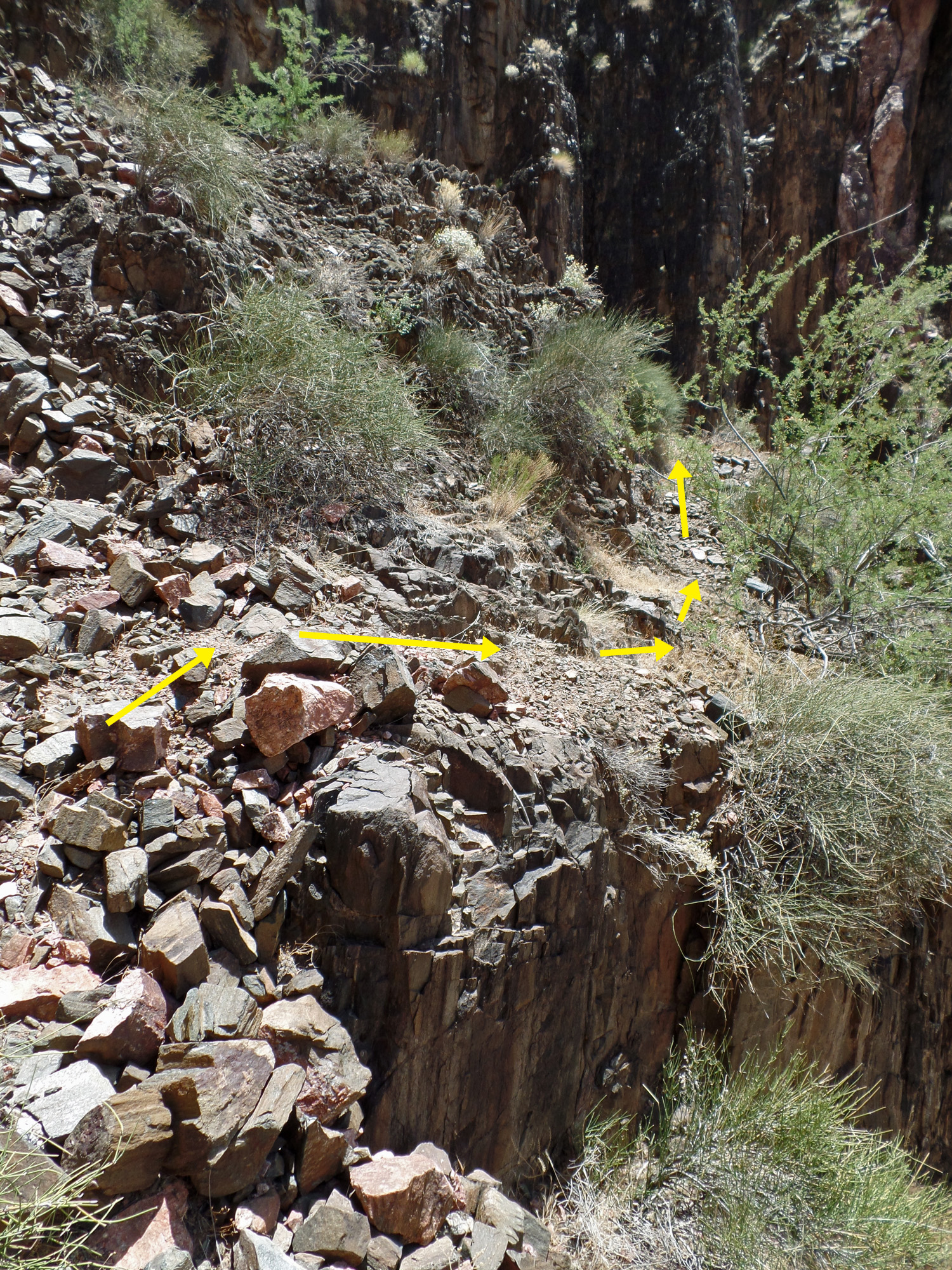
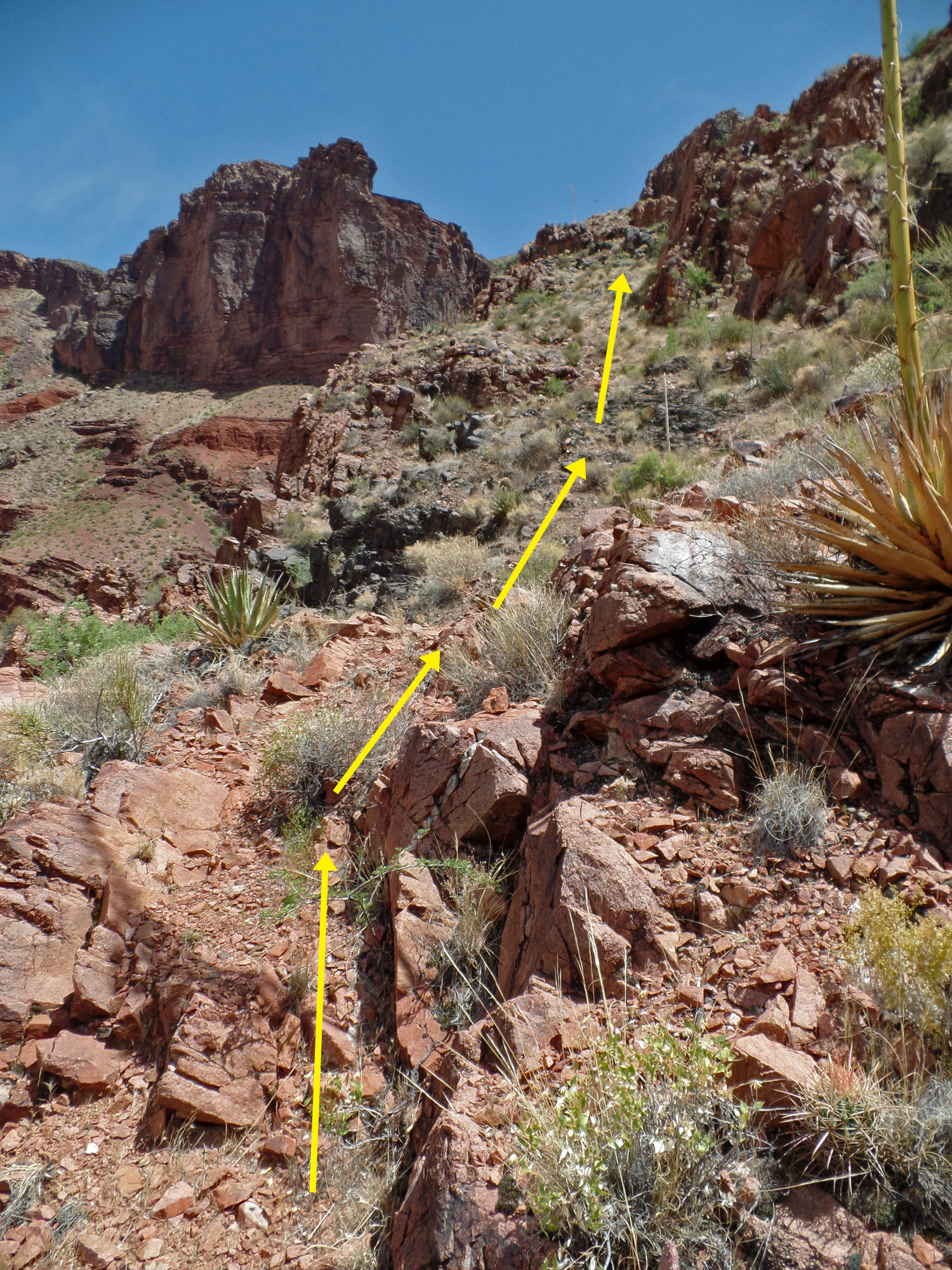
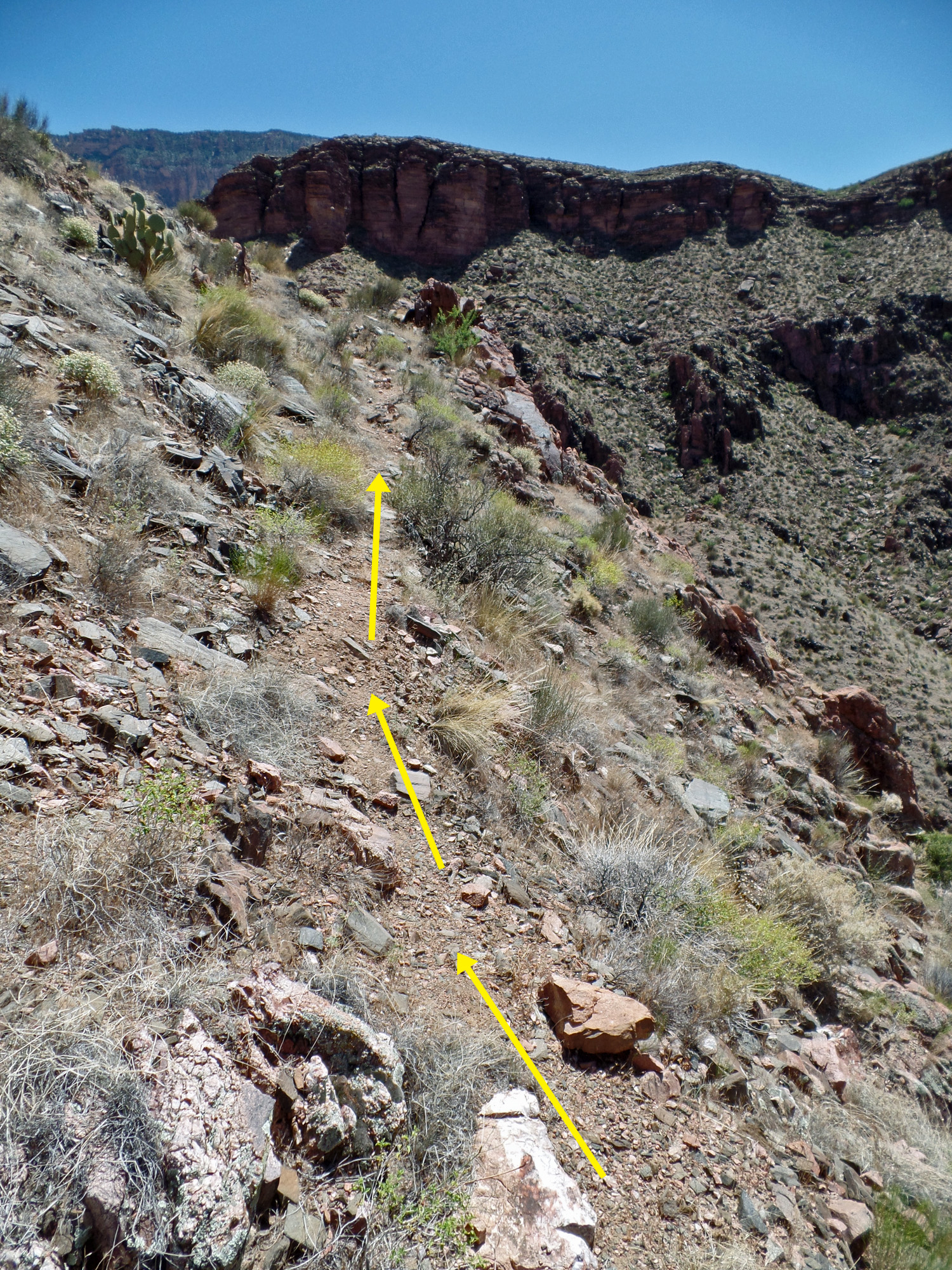
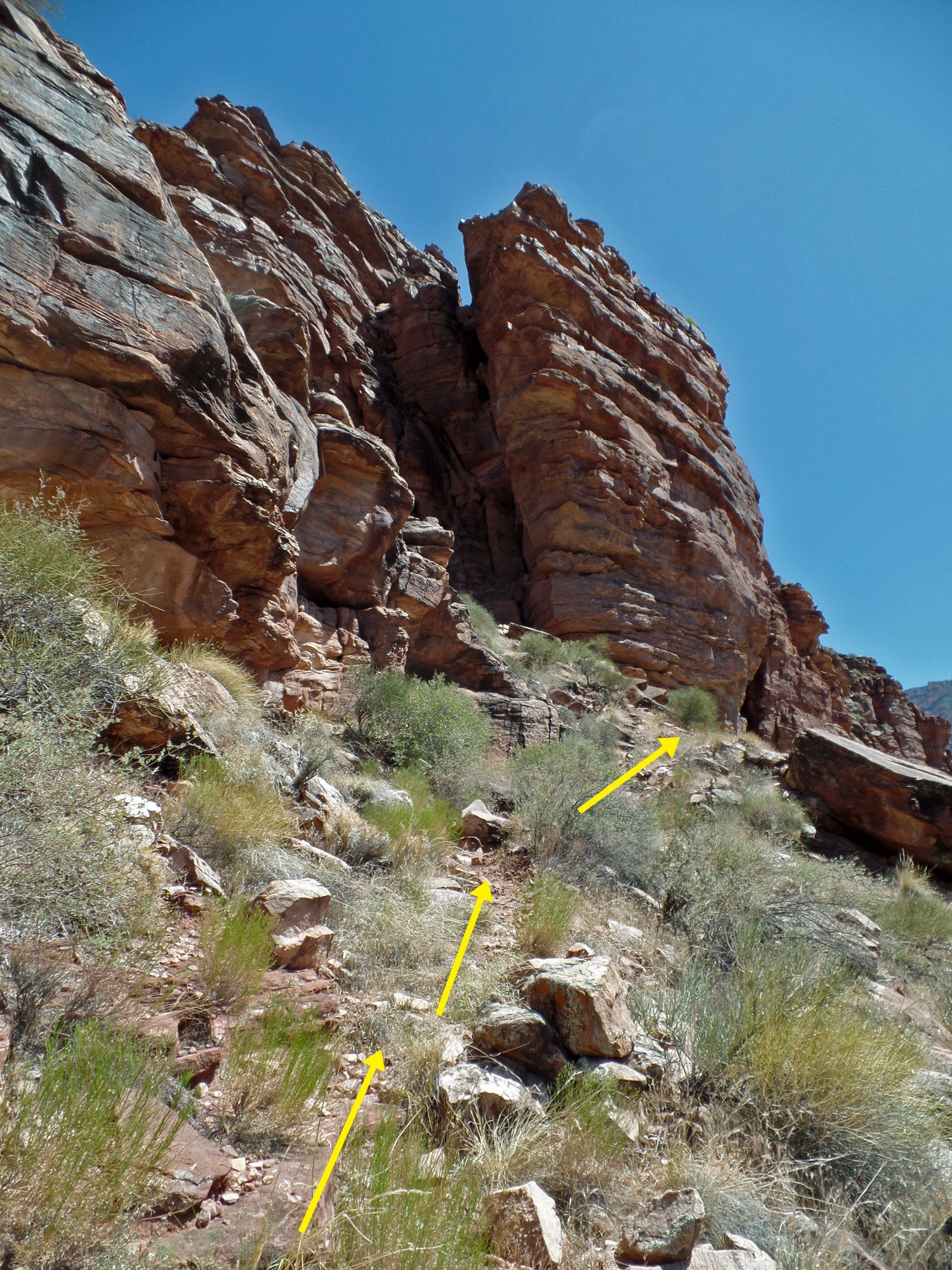
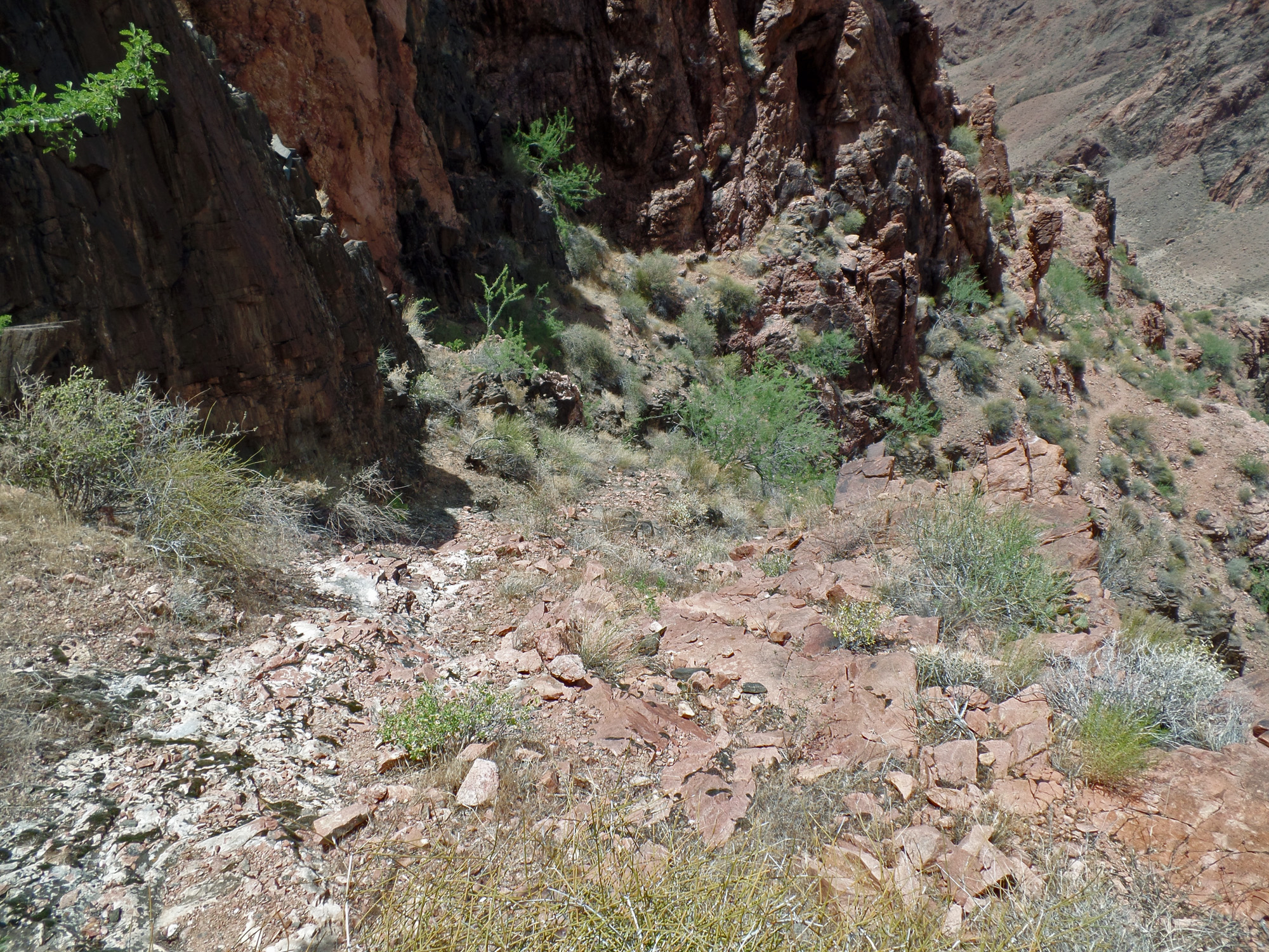
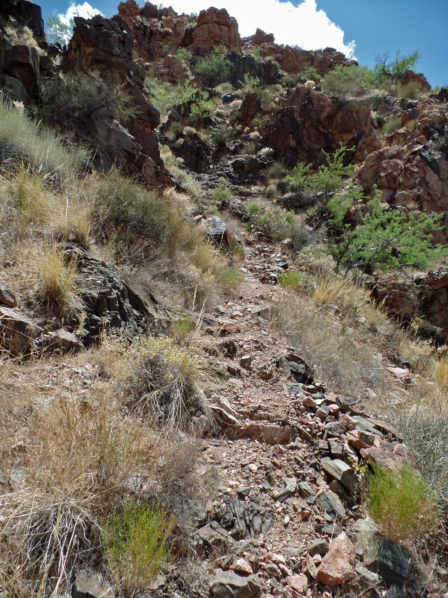
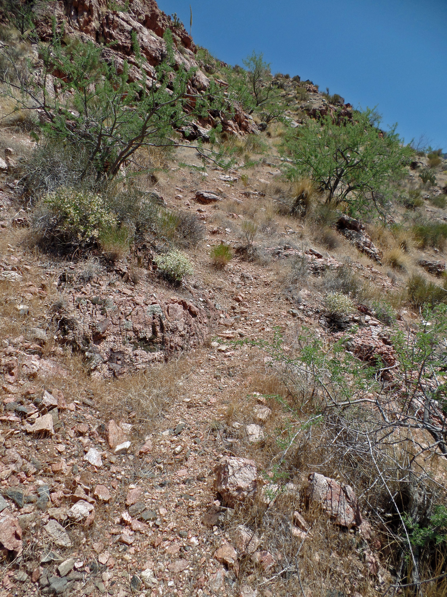
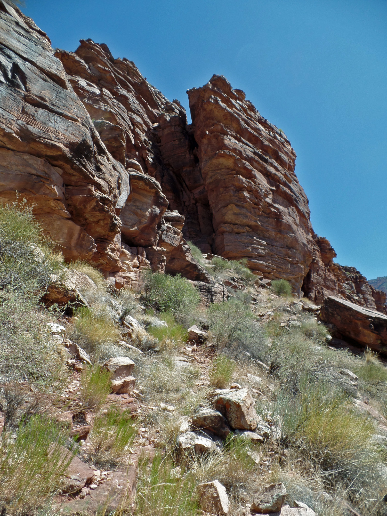
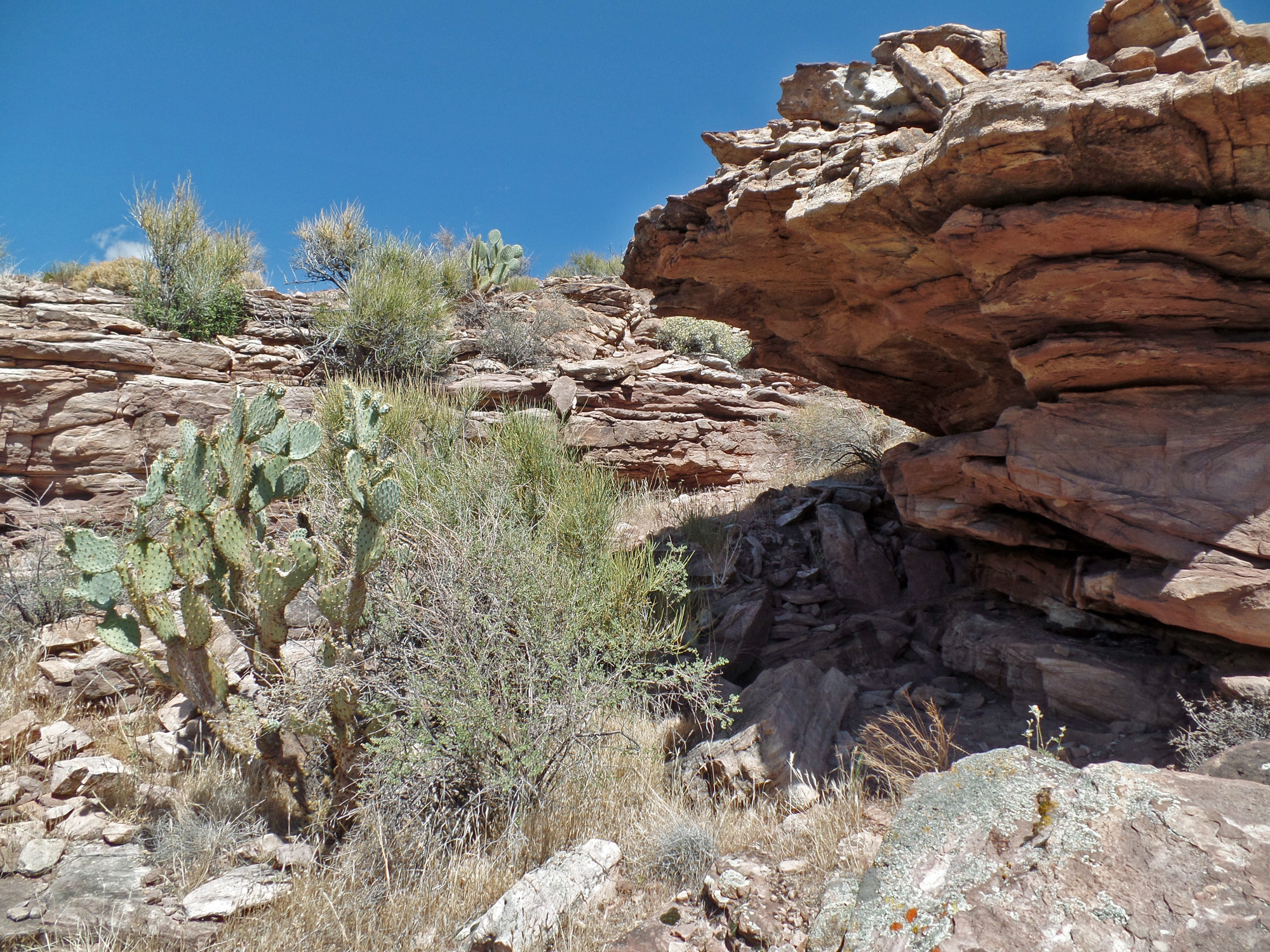
| Eventually, I headed up the slope to the base of some small cliffs where I found the trail again. 2:28 | Between the upper arrow and lower arrows the old trail is pretty indistinct, but the hiking is easy. 2:28 | At the base of the climb through the Tapeats. The trail switchbacks to the left of the shady cliff. 2:30 |
 |
 |
 |
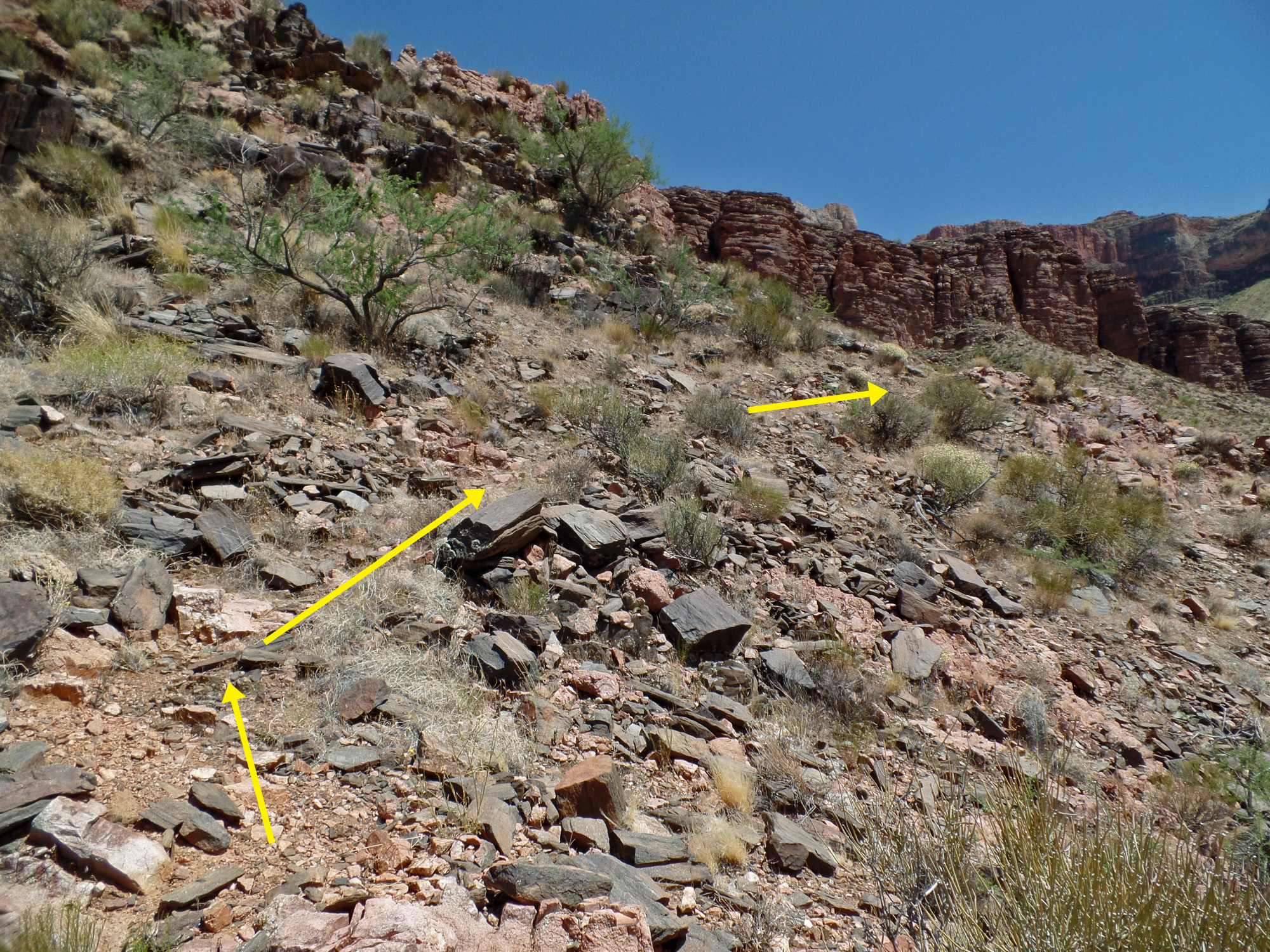
| A bit of trail construction? I saw no definitive signs - no iron bars, no cribbing, no rock walls. Just a well-worn path. 2:39 | 2:39 | 2:41 |
 |
 |
 |
| 2:41 | Just as you seem to be getting to the top the trail makes a turn to the left for a long switchback to a final ramp up the last of the Tapeats. 2:43 | 2:44 |
 |
 |
 |
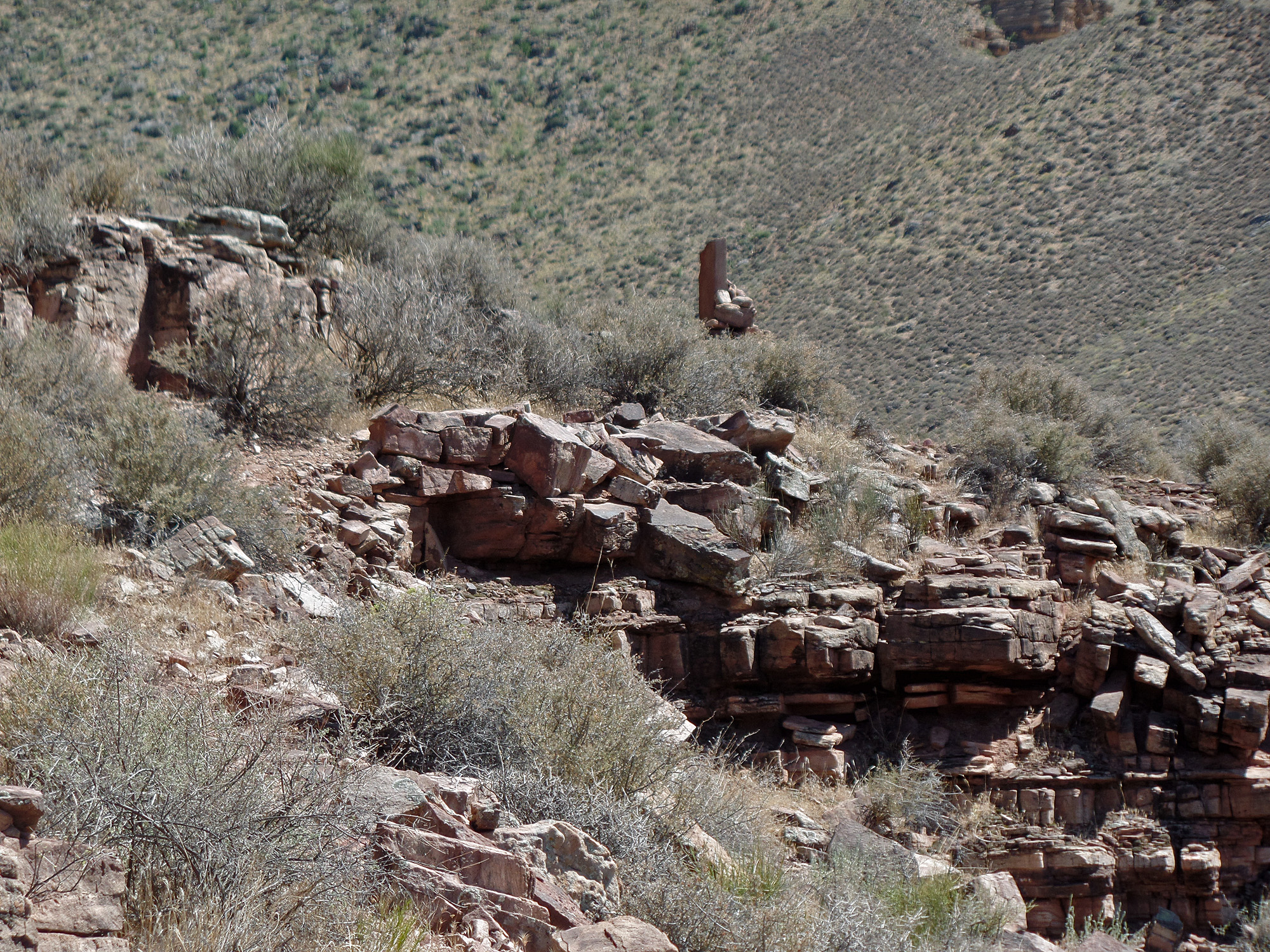
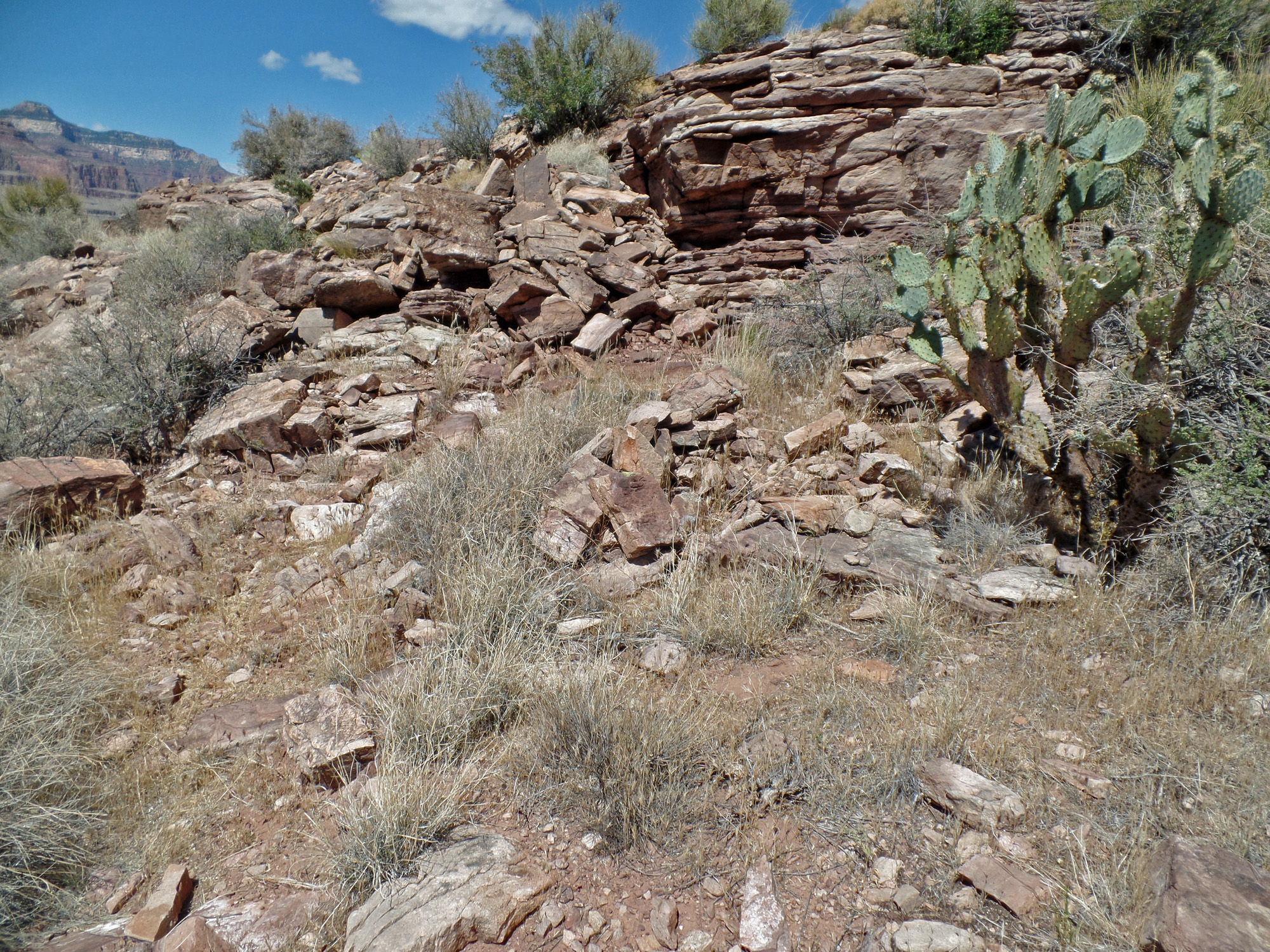
| 2:44 | Final ramp to the top. 2:45 | The trail heads back to the cliff that I had been close to coming up through the Tapeats. The cairn is circled. 2:46 |
 |
 |
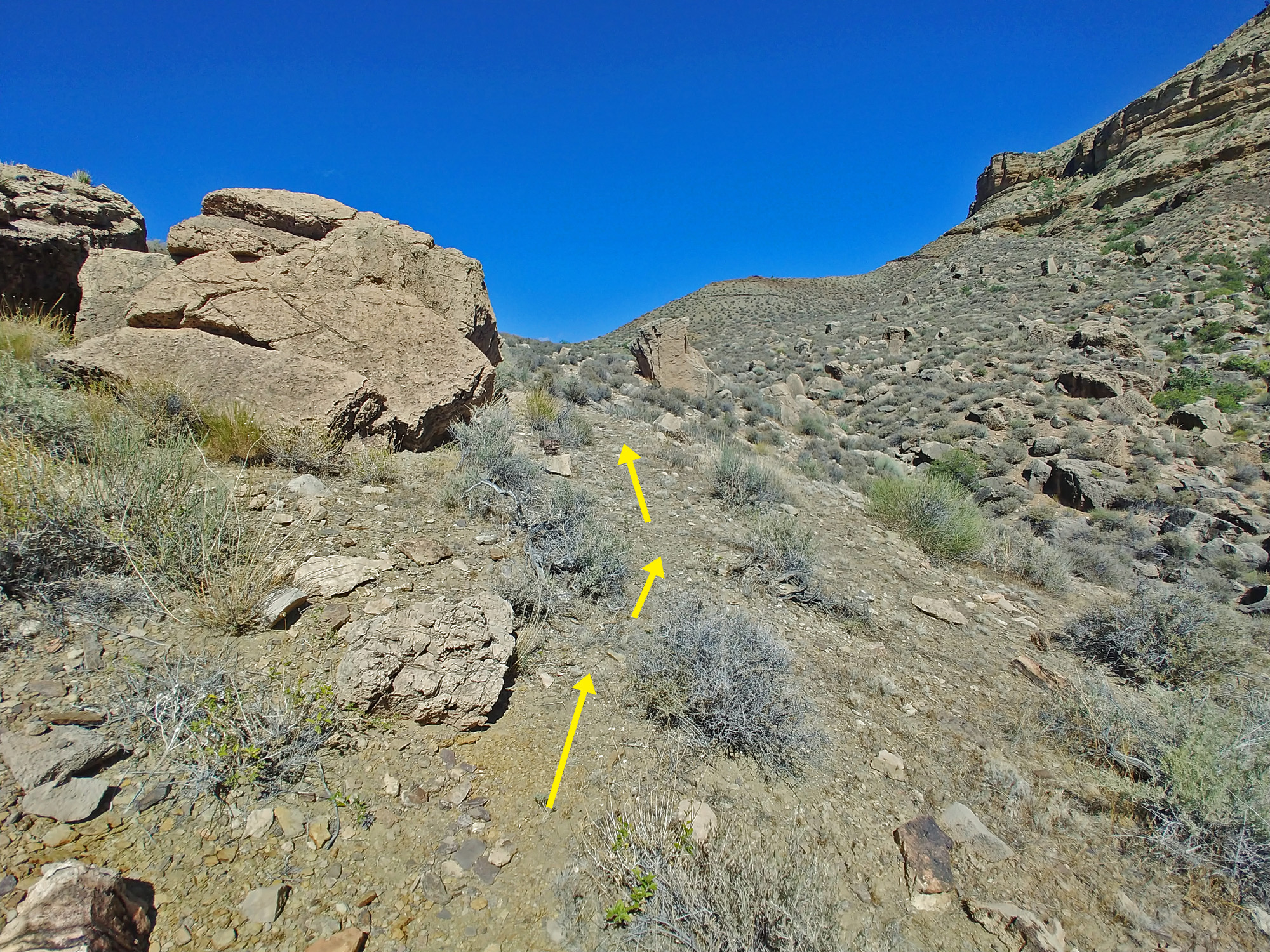 |
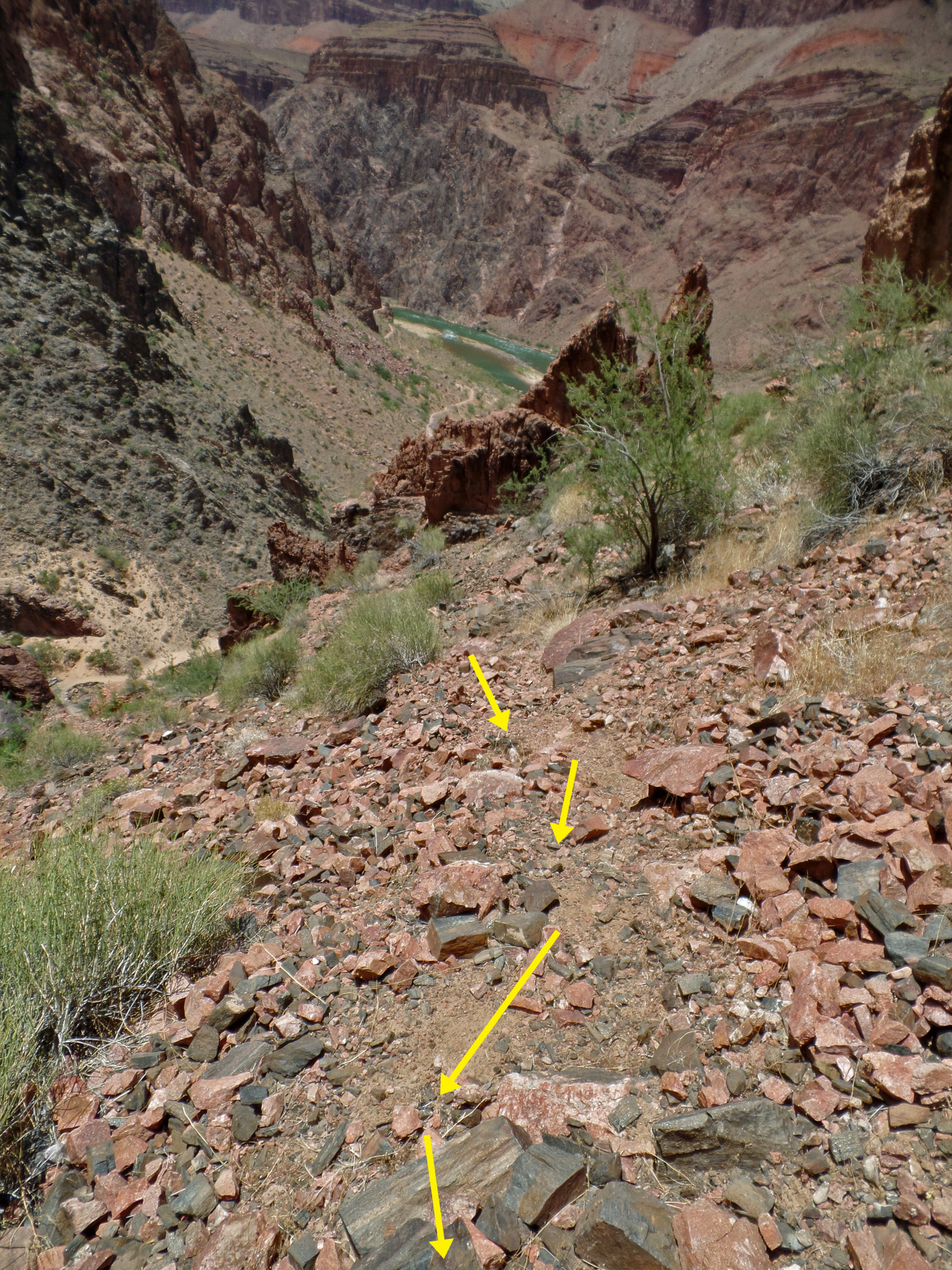
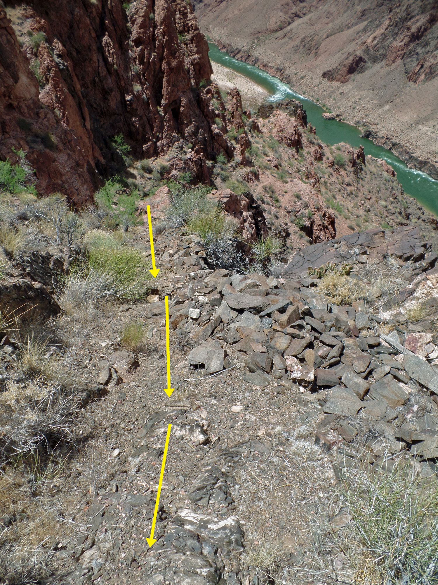
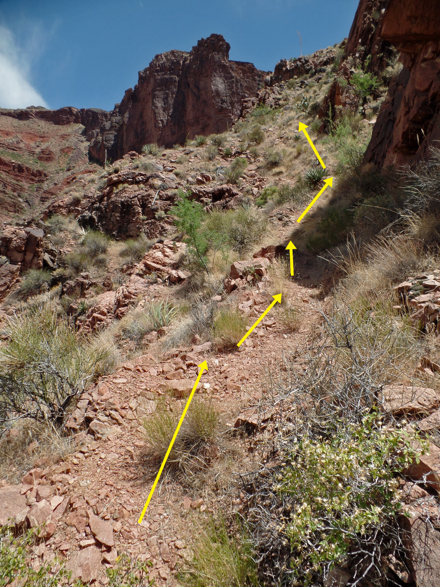
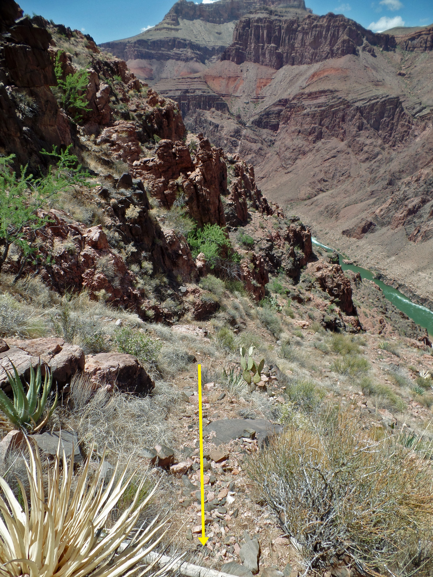
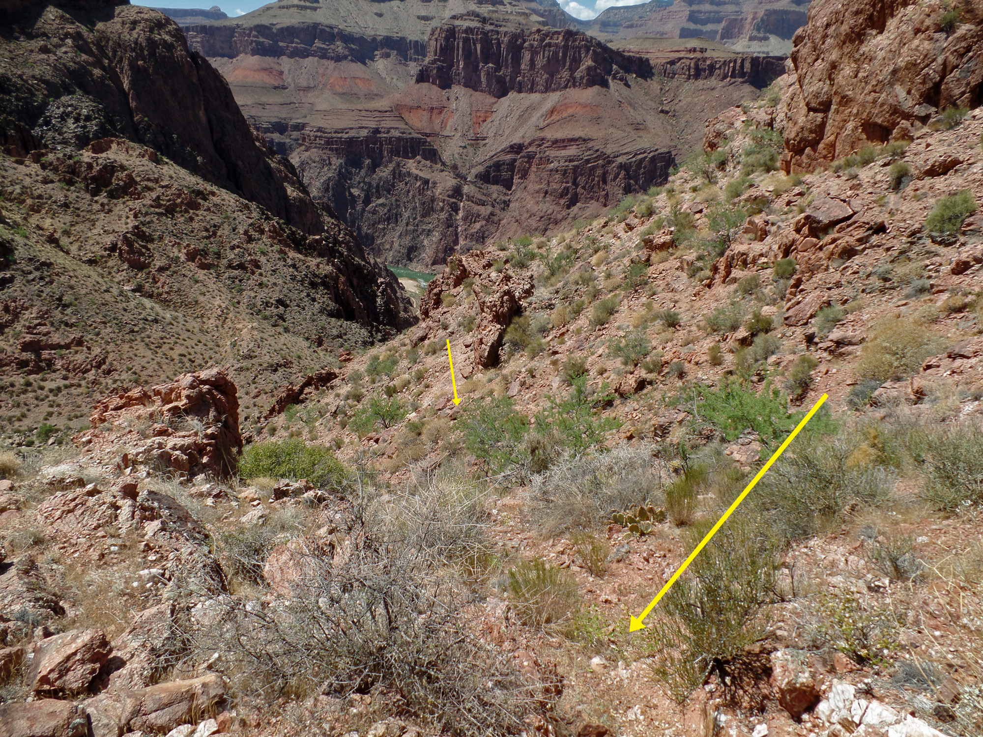
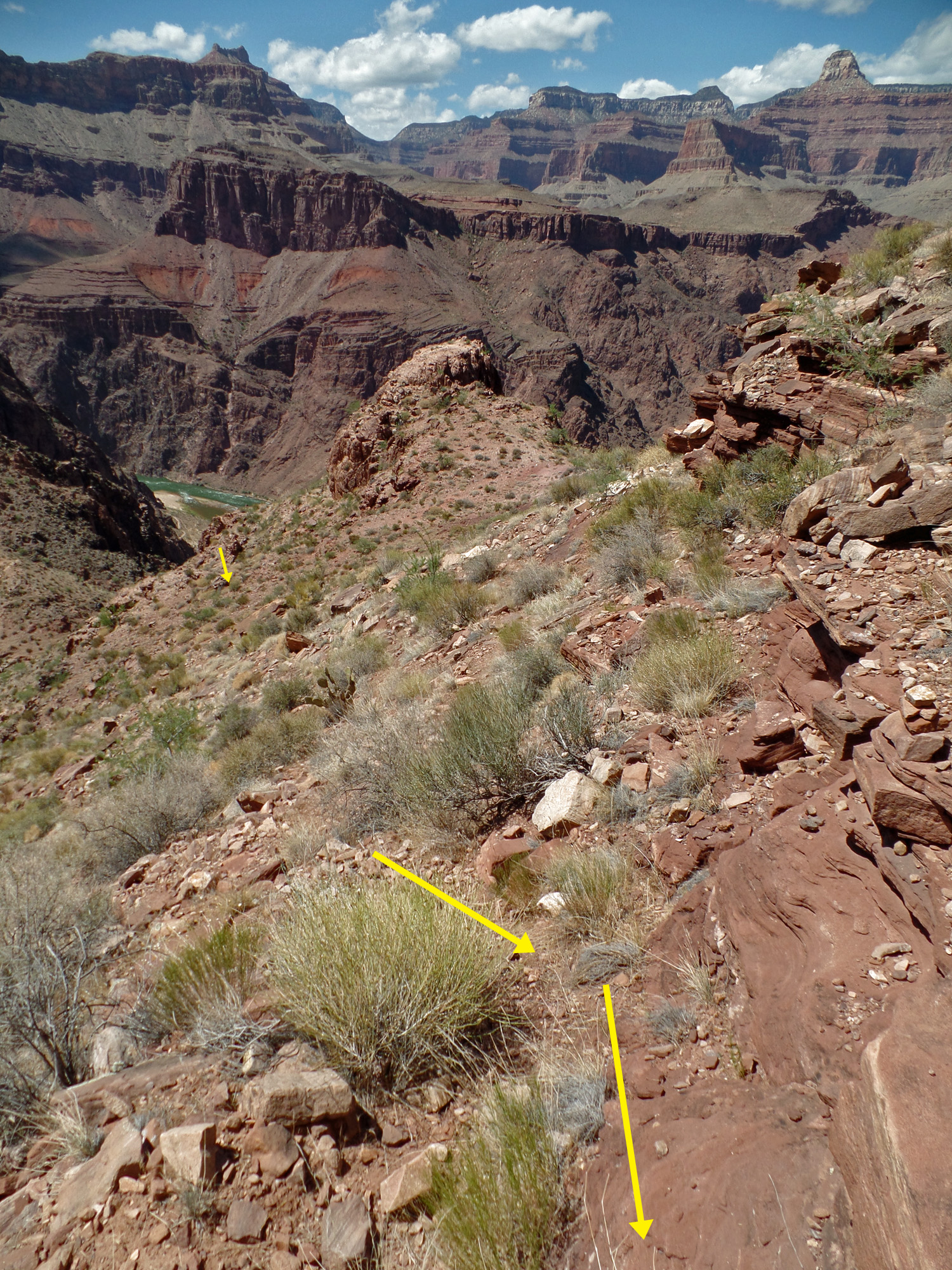
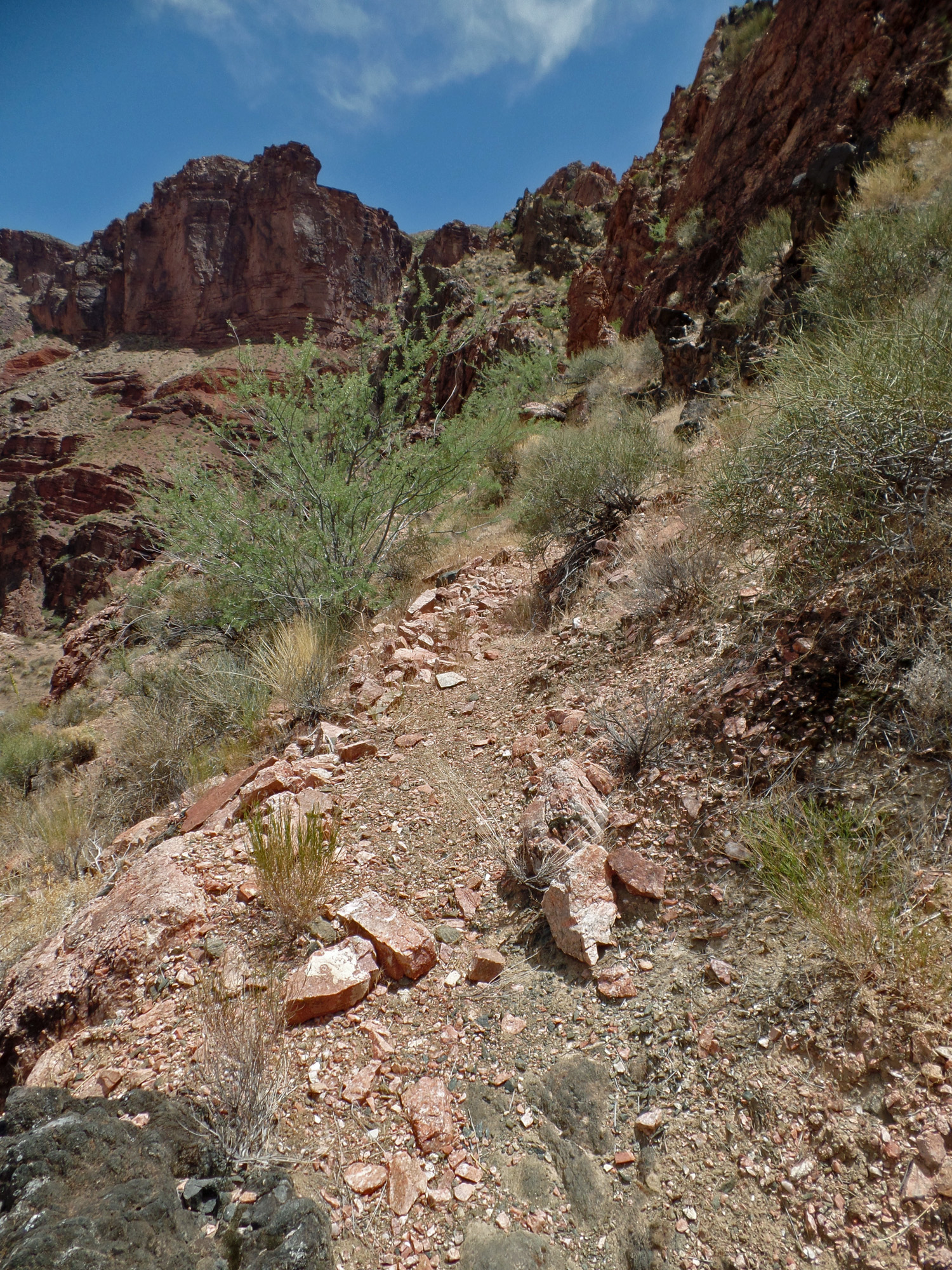
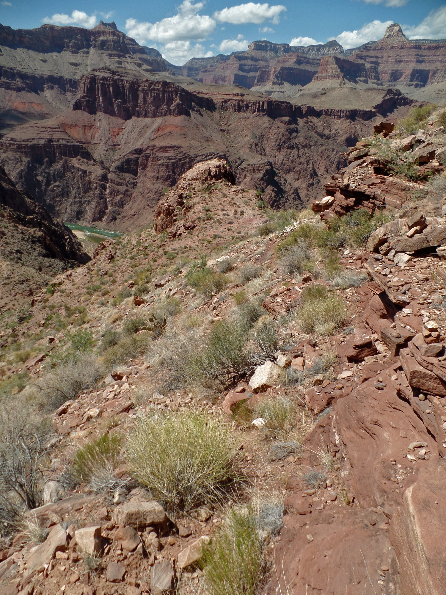
| 2:47 | Time for a well-deserved break. 2:50 | On previous trips it seemed like a slog to get to the Tonto Trail. This time I angled up and headed for where I saw the trail. But, a big ravine led me to just keep angling up and suddenly I was on a path! 3:23 |
 |
 |
 |
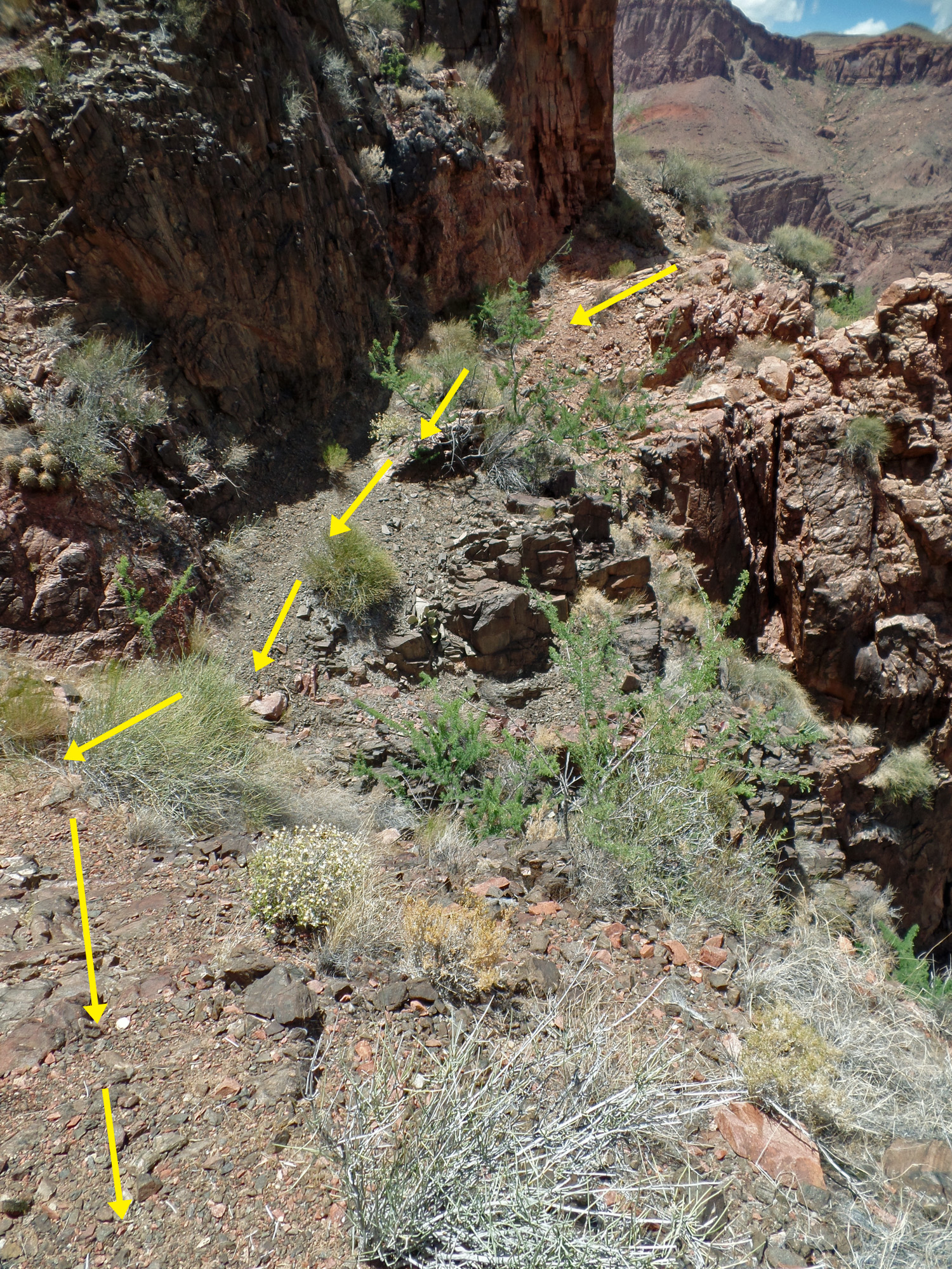
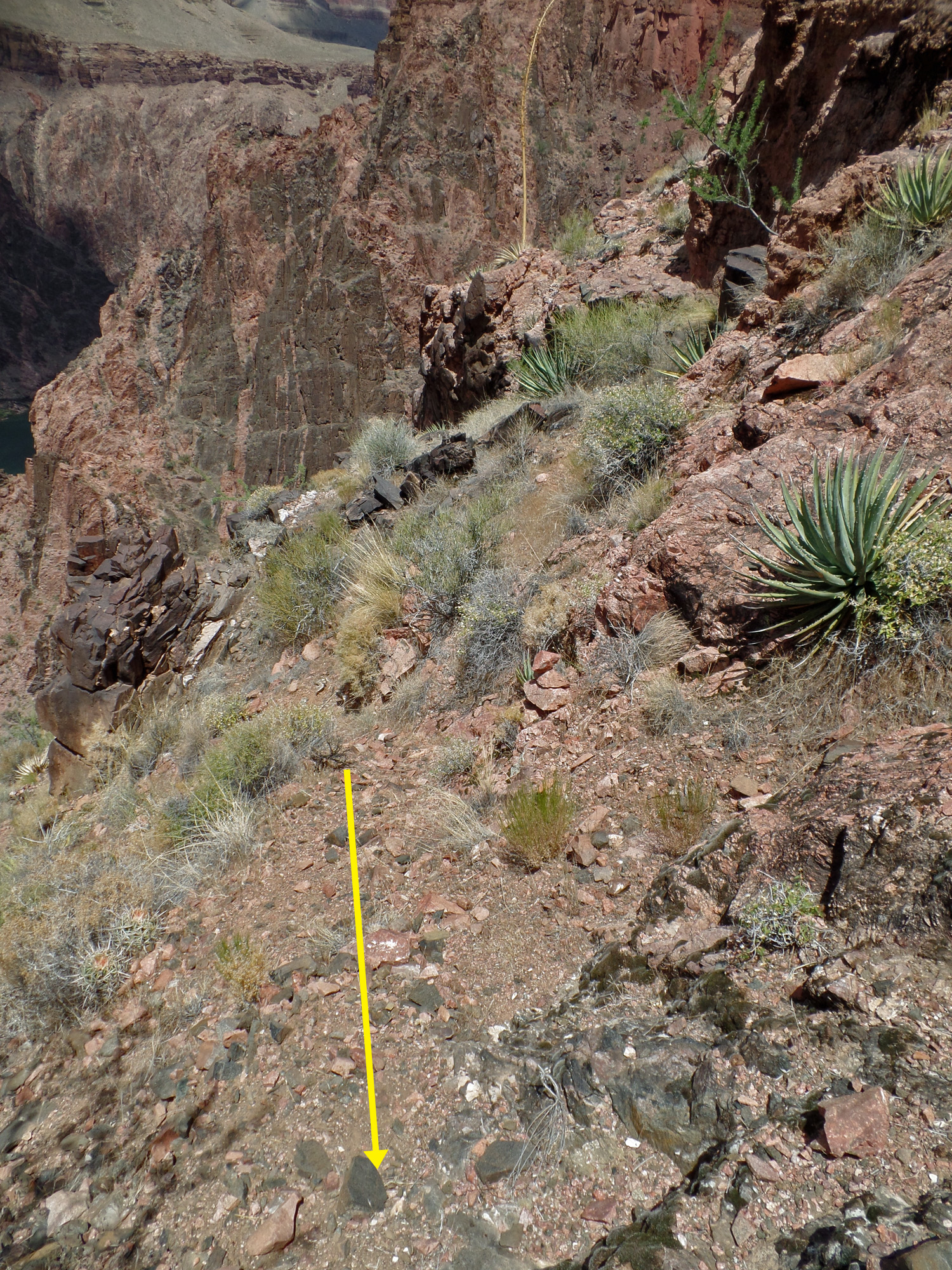
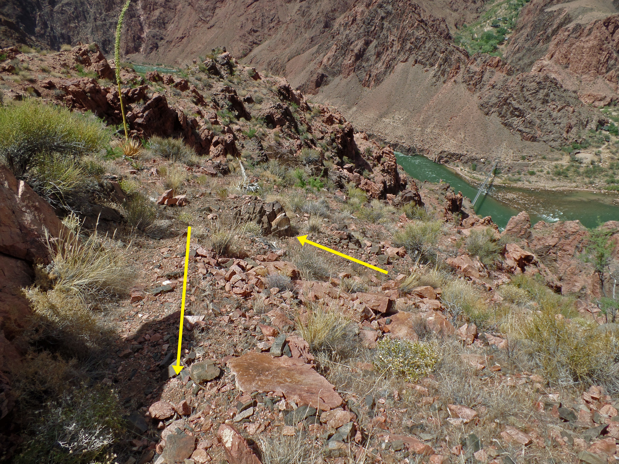
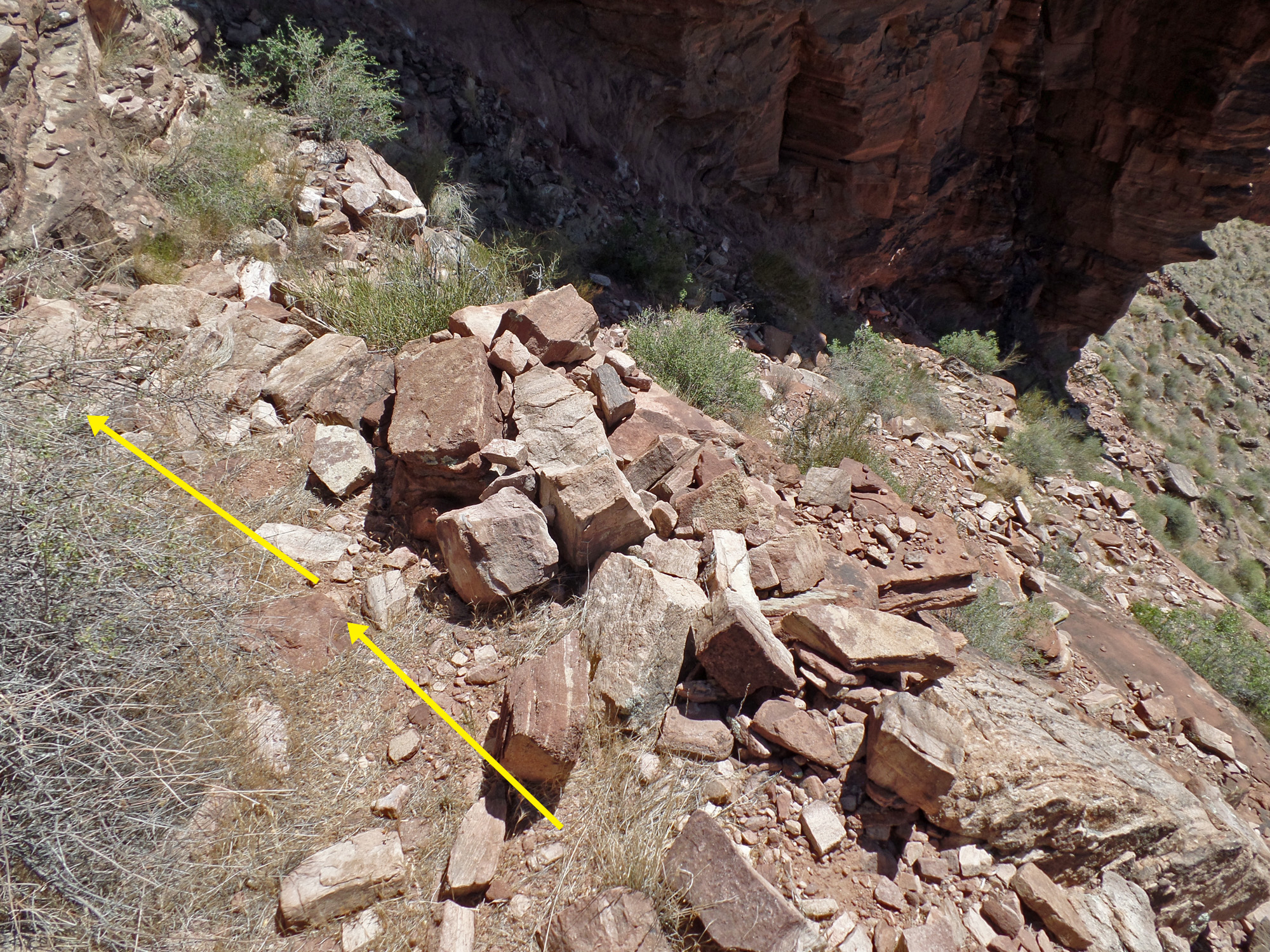
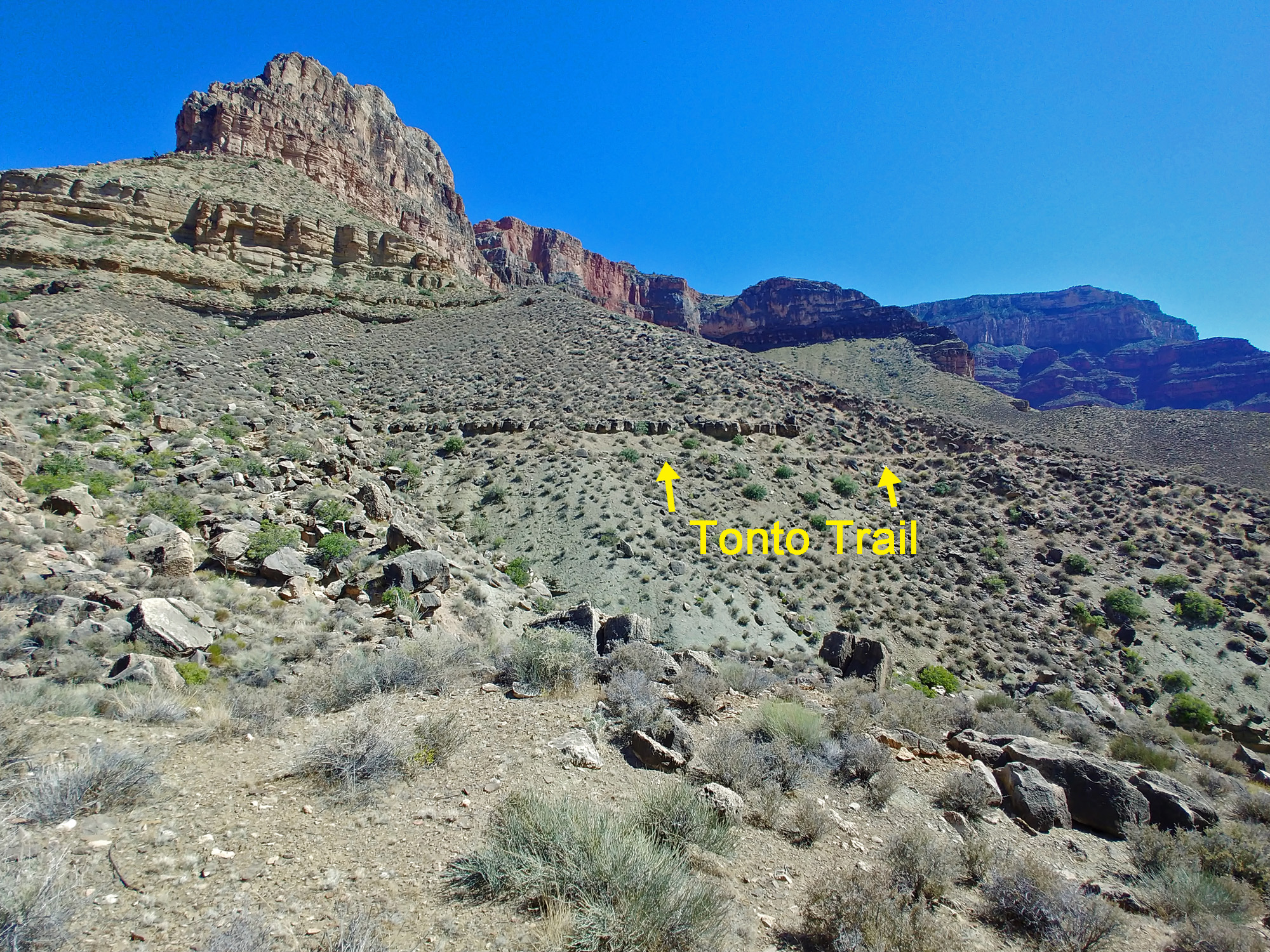
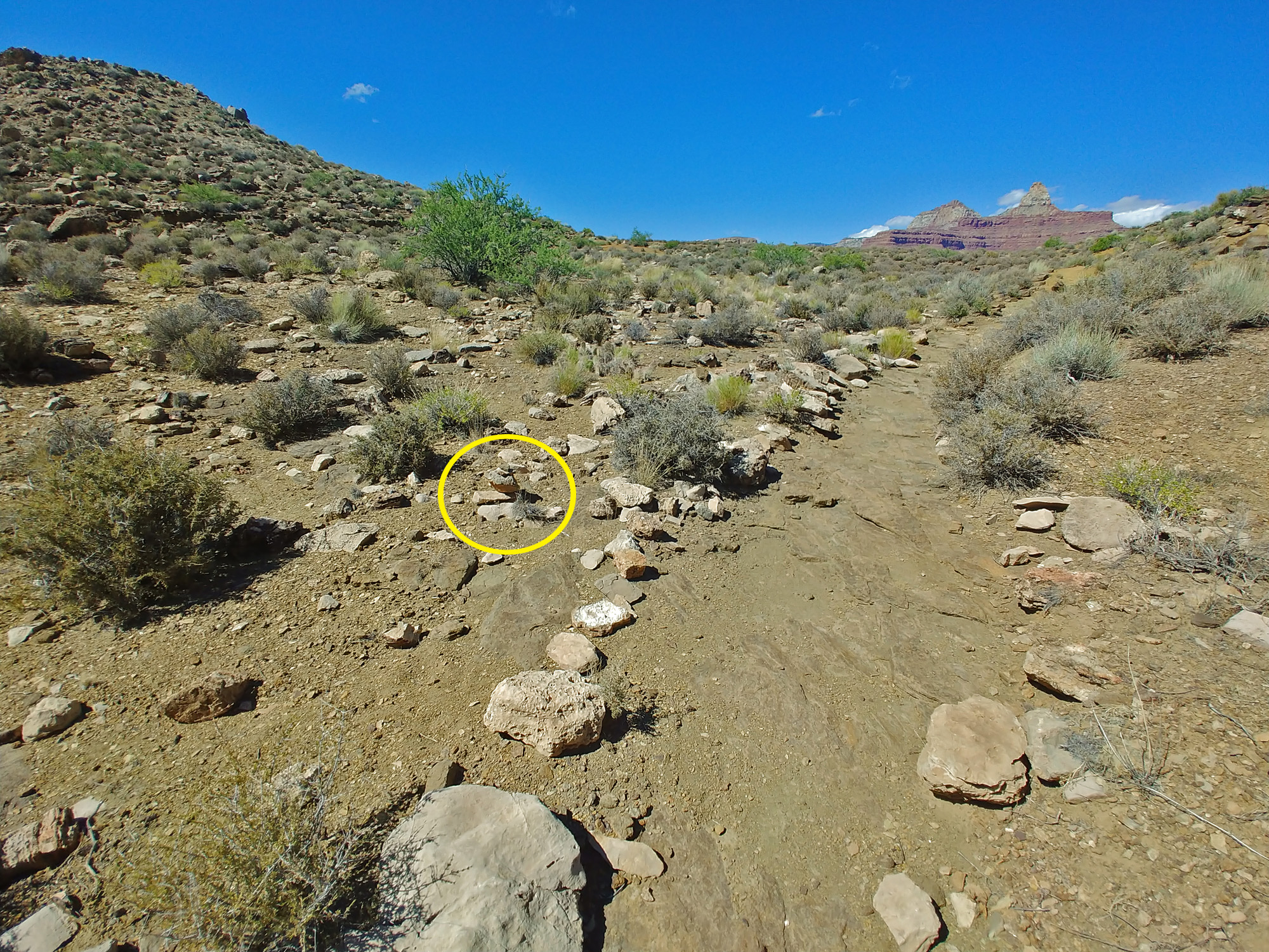
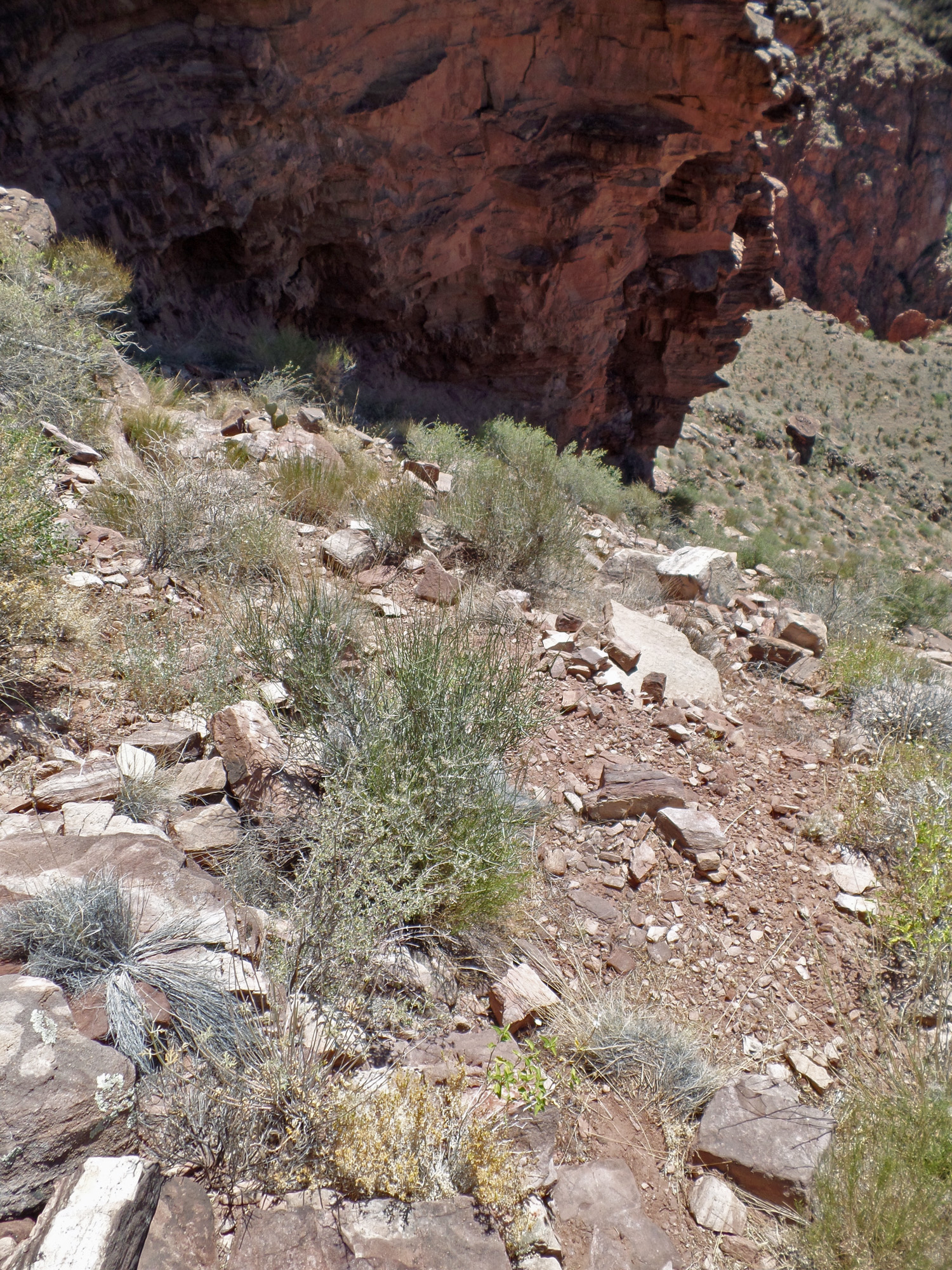
| From my path I could see where the Tonto Trail was and where we would meet up. 3:23 | Surprise! The only cairn I saw on the entire route was right here where my path met the Tonto Trail. Rather indistinct, but if you're looking for this path ... 3:26 | Looking back at where the path intersected with the trail. I think I came in at the question marks, but I think that I've properly circled the little cairn. 3:27 |
| This old trail doesn't seem to have been used for many years. The cable crossing was up in 1907 and the newer trail would have then been used. There are numerous Indian ruins on both sides of the river in this area and this route, with no signs of formal construction, seems most logical for crossing. But, as I noted, I have not seen any definite signs related to historic Indian use. Considering that there are petroglyphs and pictographs along the Bright Angel Trail, their absence over the Wash Henry route is unexpected. |
|
|
||
|
|
Return to Hiking Grand Canyon home page |
|