|
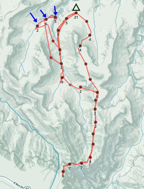
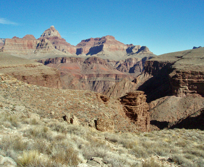
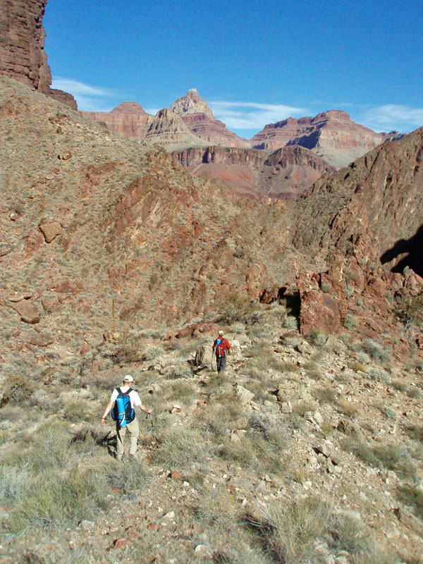
From December 11 to 14, 2020, I was camped on the Tonto plateau just
north of Horseshoe Mesa in the Grand Canyon for three nights. There were
some projects I wanted to do as day hikes. This short post is on one of
those projects – the old trail into Cottonwood Canyon.
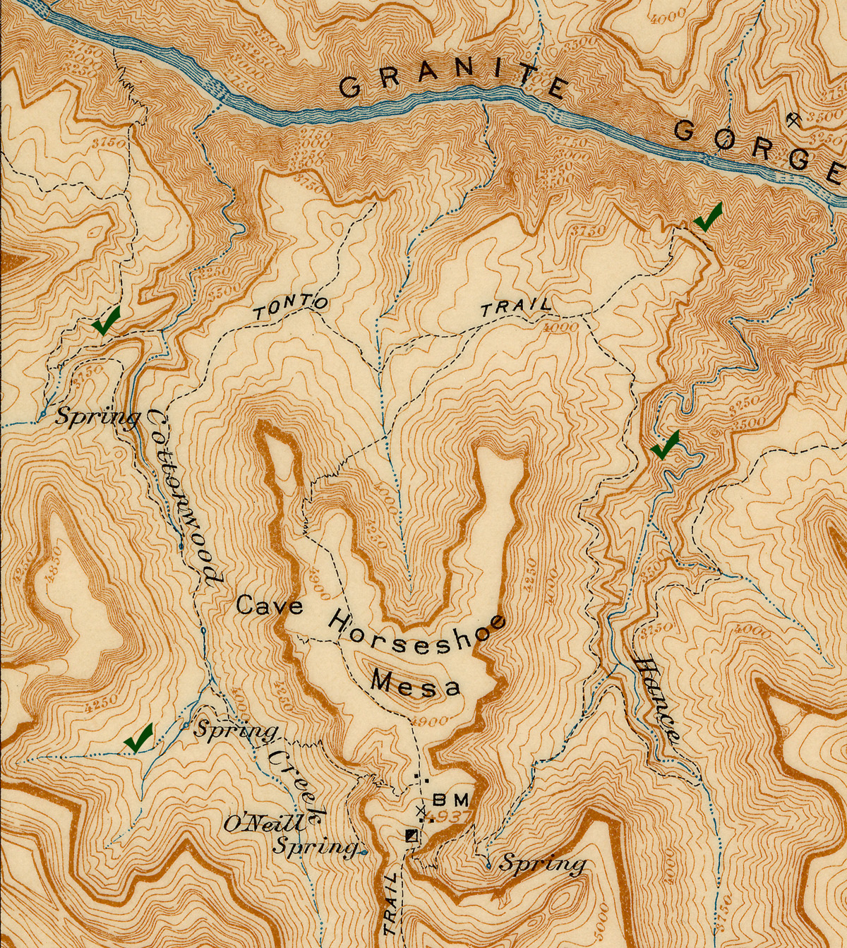
On the Vishnu Quadrangle map, published in 1907 (based
on the survey work of Francois Matthes and Richard Evans of the U.S.G.S.)
includes trails that have been lost to time, but were once passable by
pack animals. One that I had never been on descends off the Tonto in
the west arm of Cottonwood Creek to meet up with the main bed below the
Tapeats. Finding this old trail/route was one of my projects.
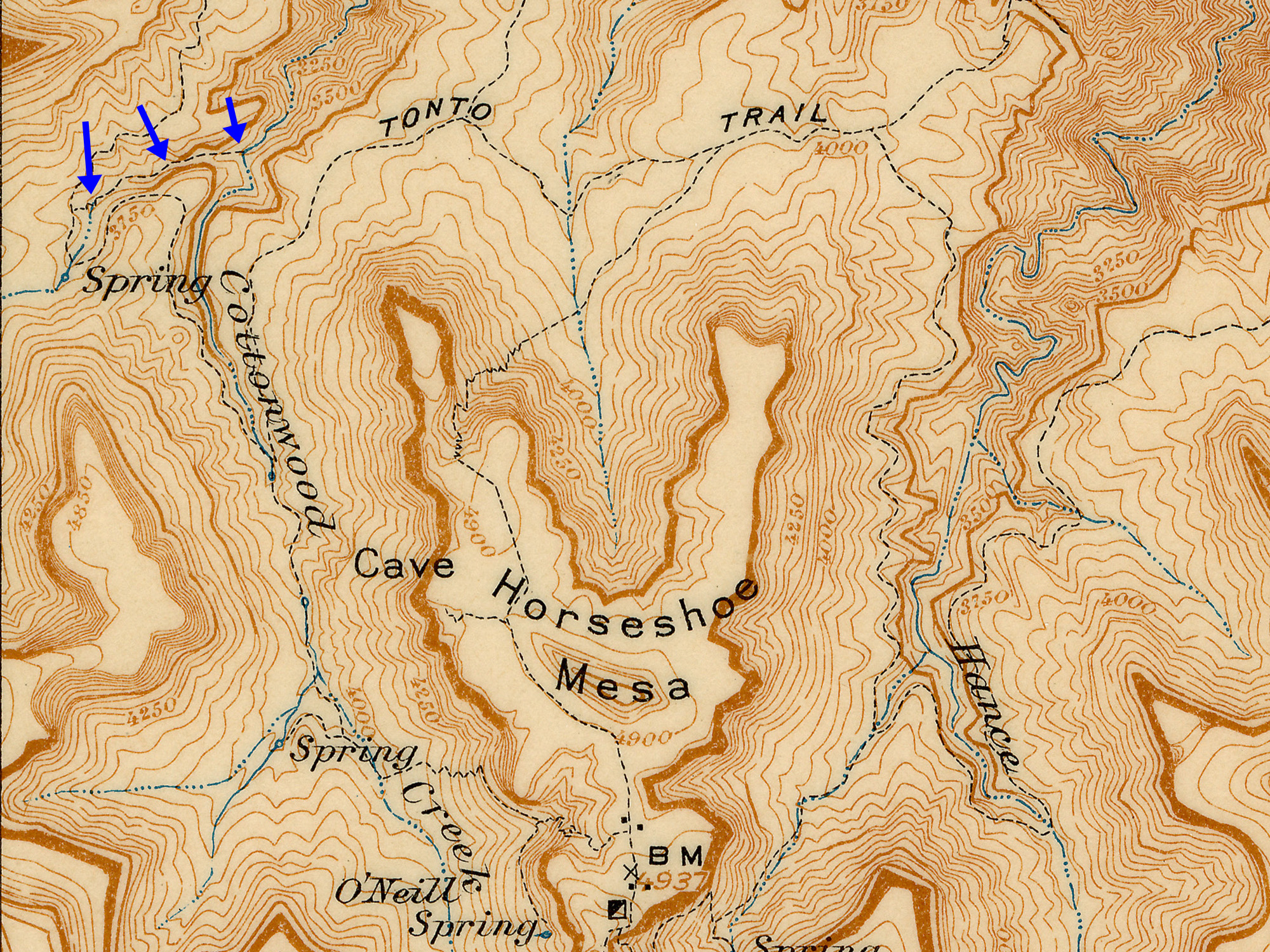
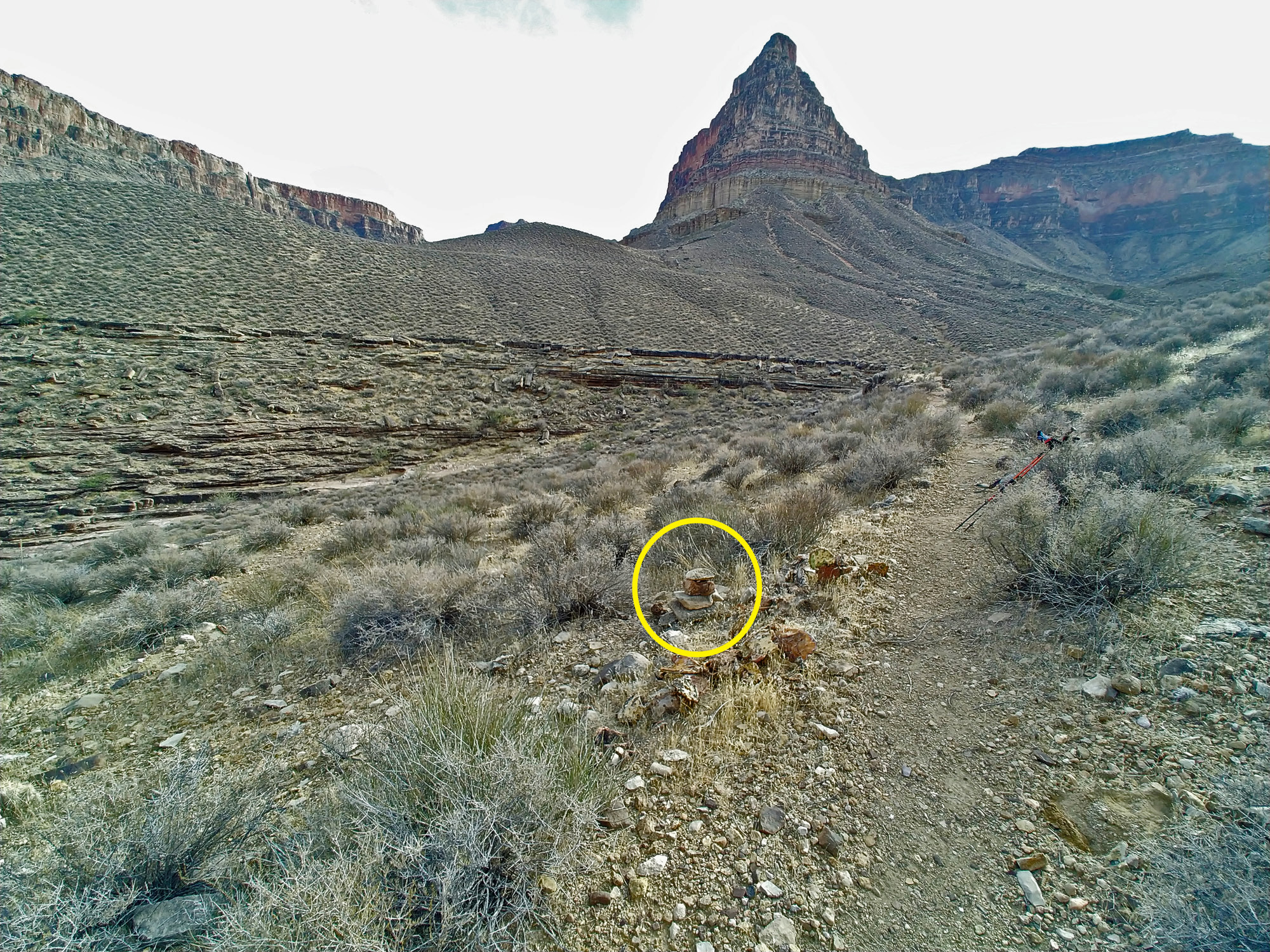
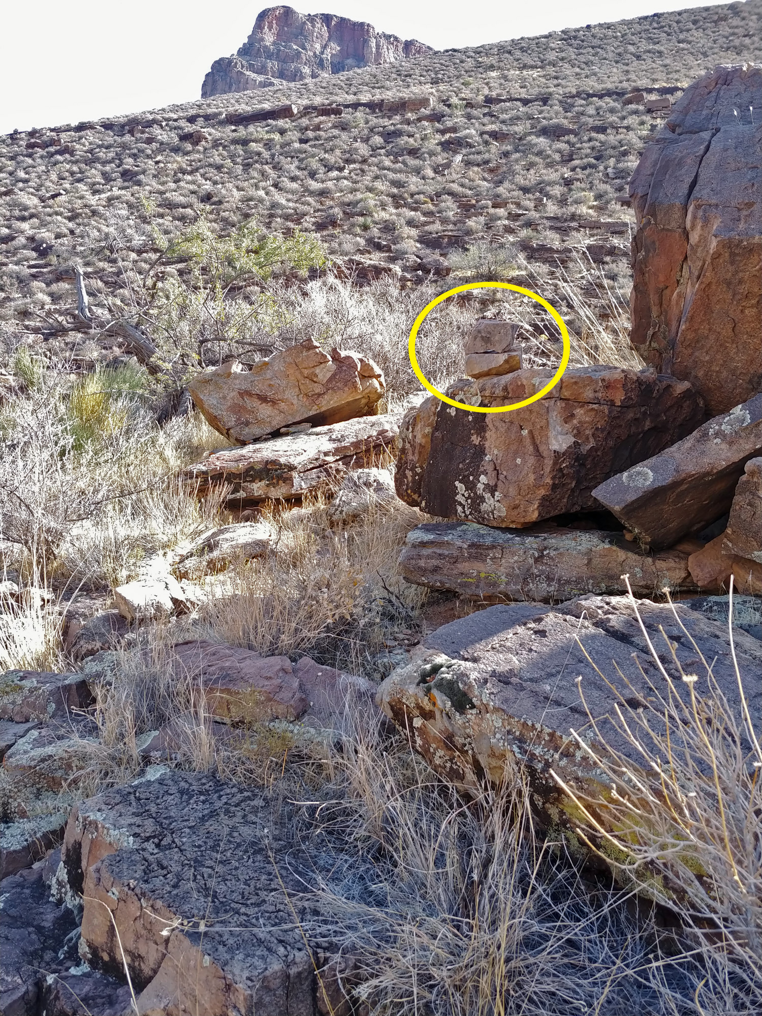
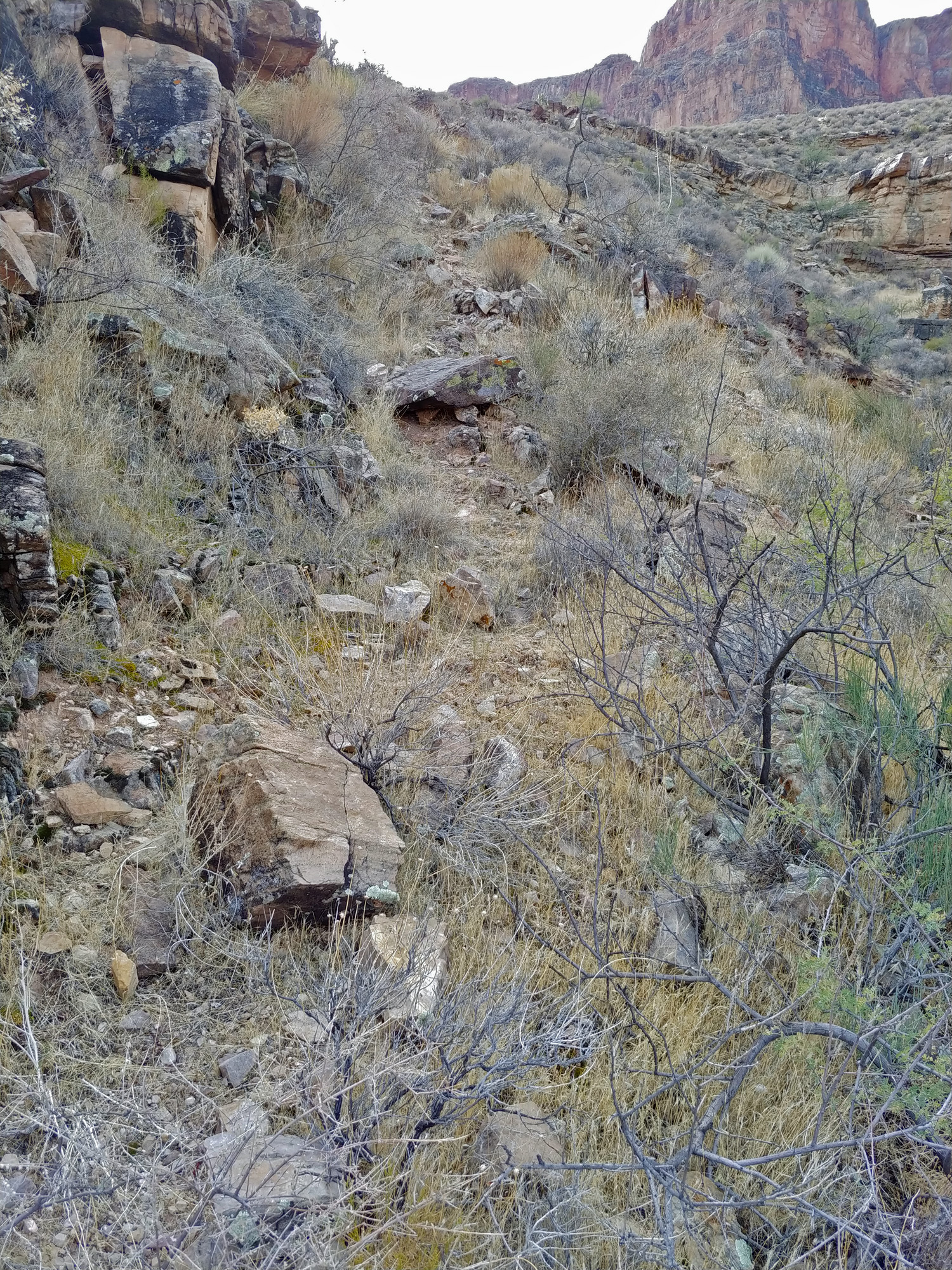
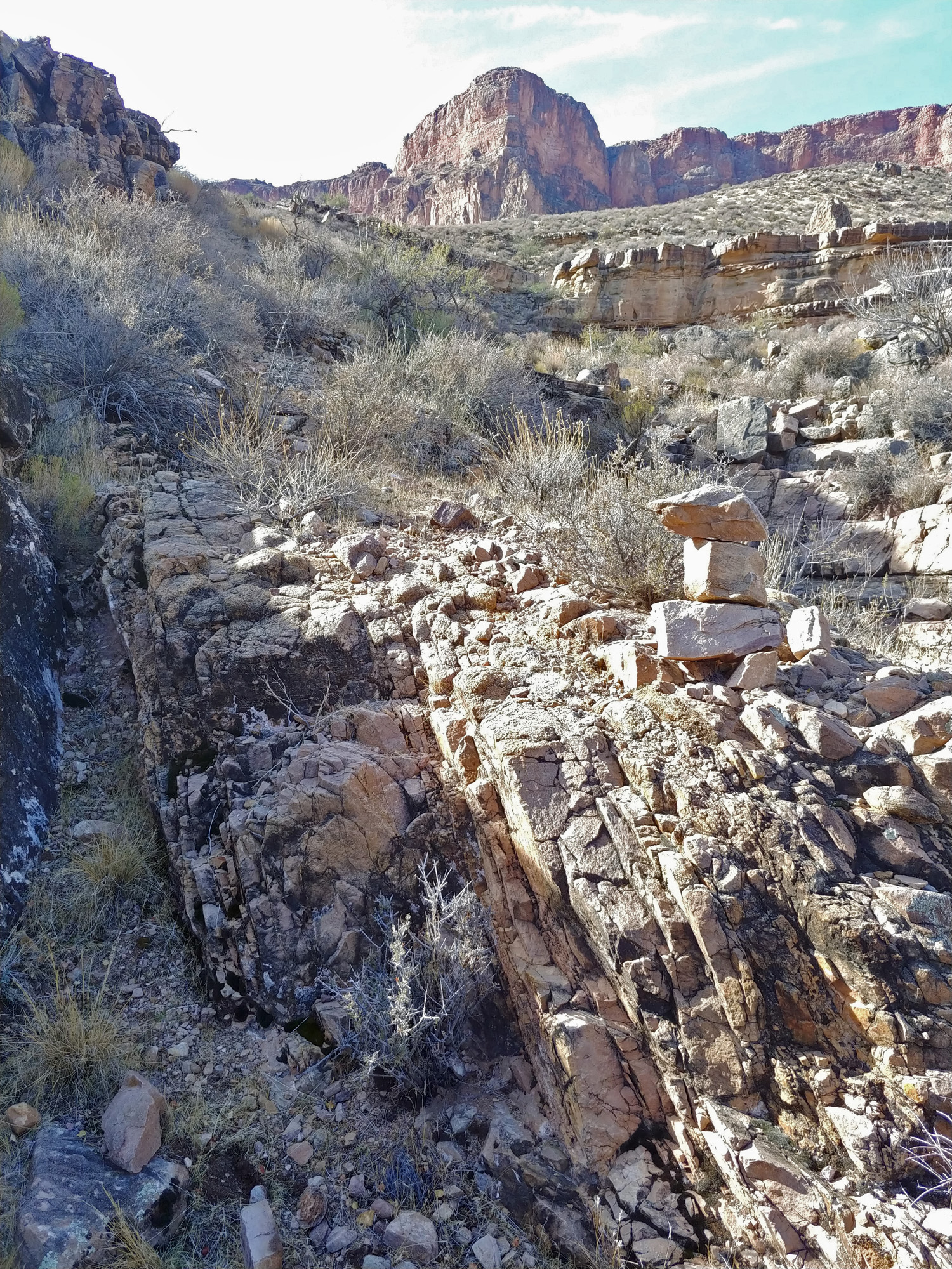
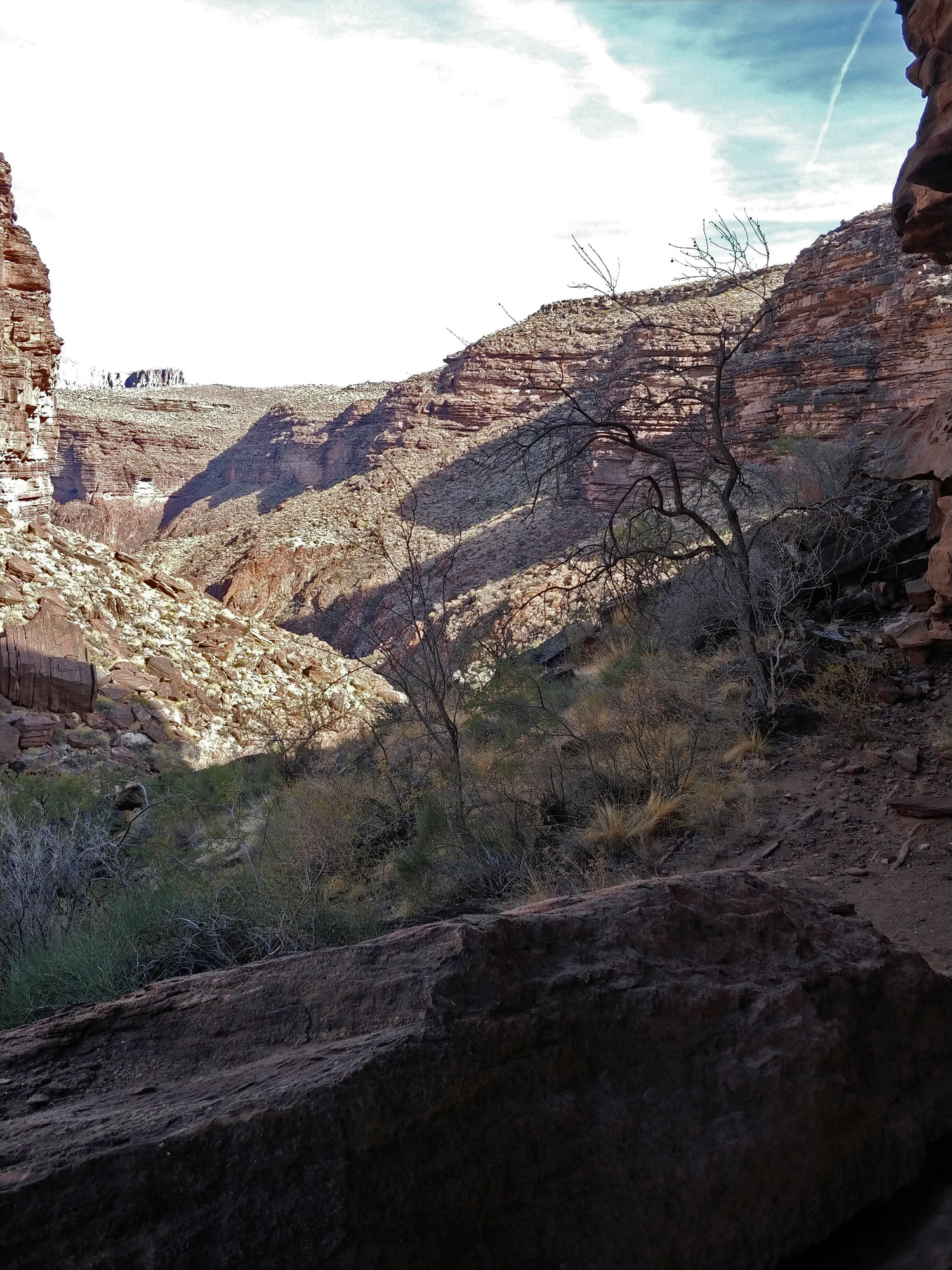
The trail leaves the Tonto on the west side of this
arm, no doubt due to a couple of problematic pour-offs in the bed. There
were many good opportunities and I picked one that seemed reasonable. On
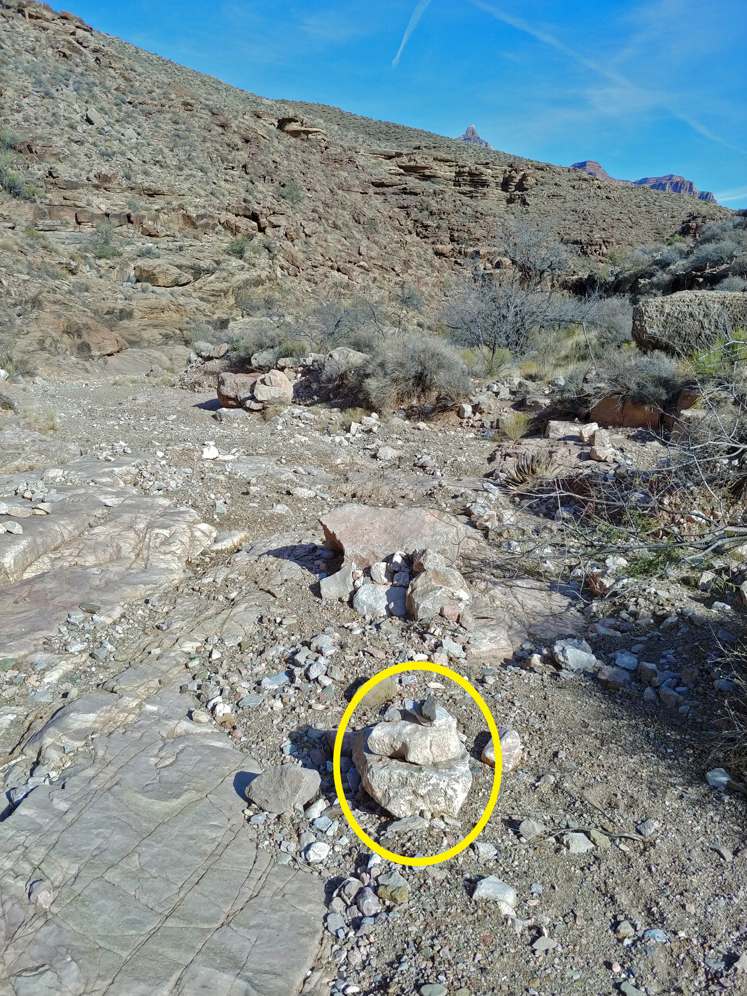
my way down to the bed I stumbled upon a small cairn and found myself on
a rather well defined ramp. I didn't really see signs of a trail, but
this route certainly felt right and it took me right down to the bed of
this arm, where there was another small cairn.
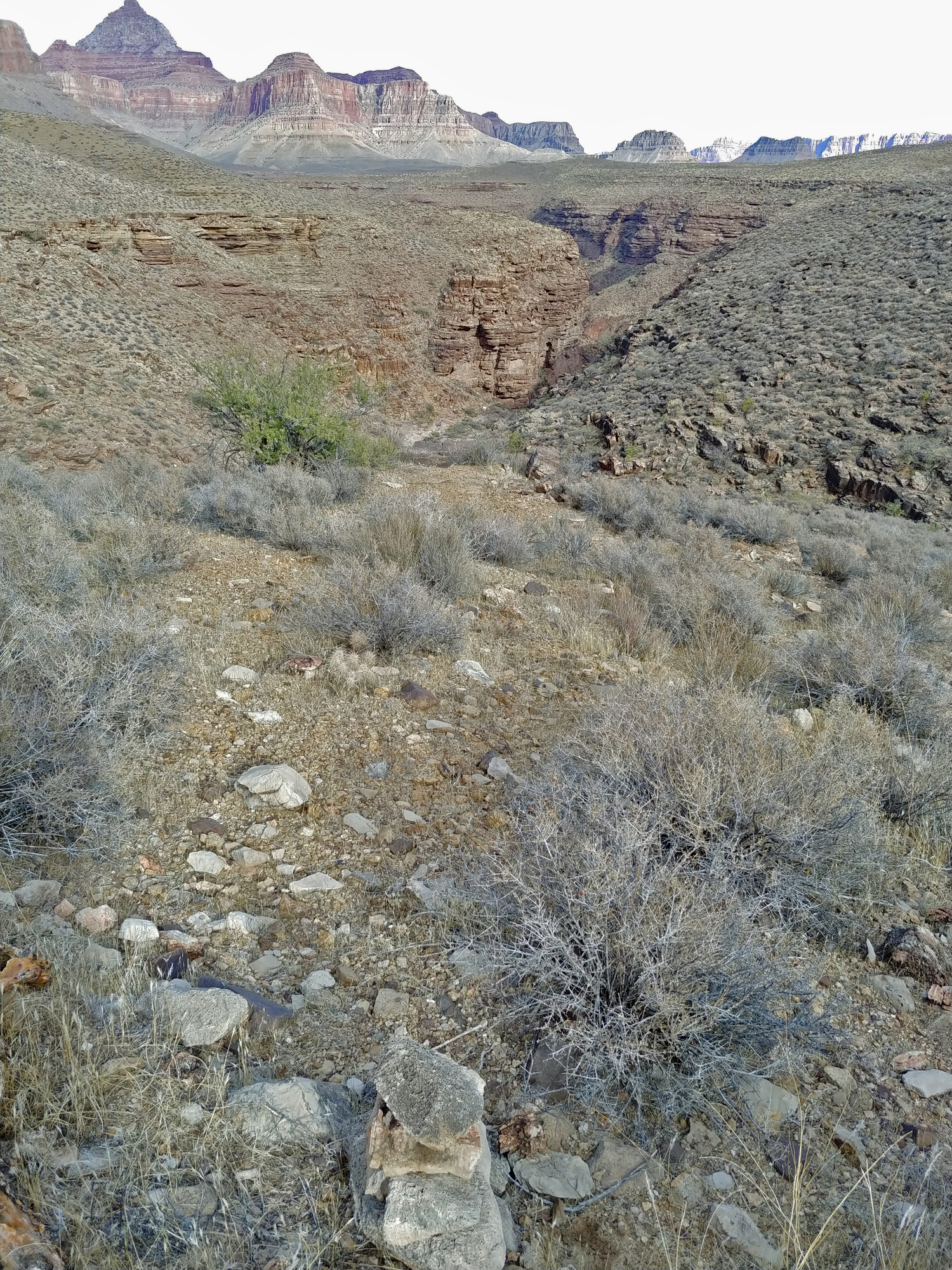
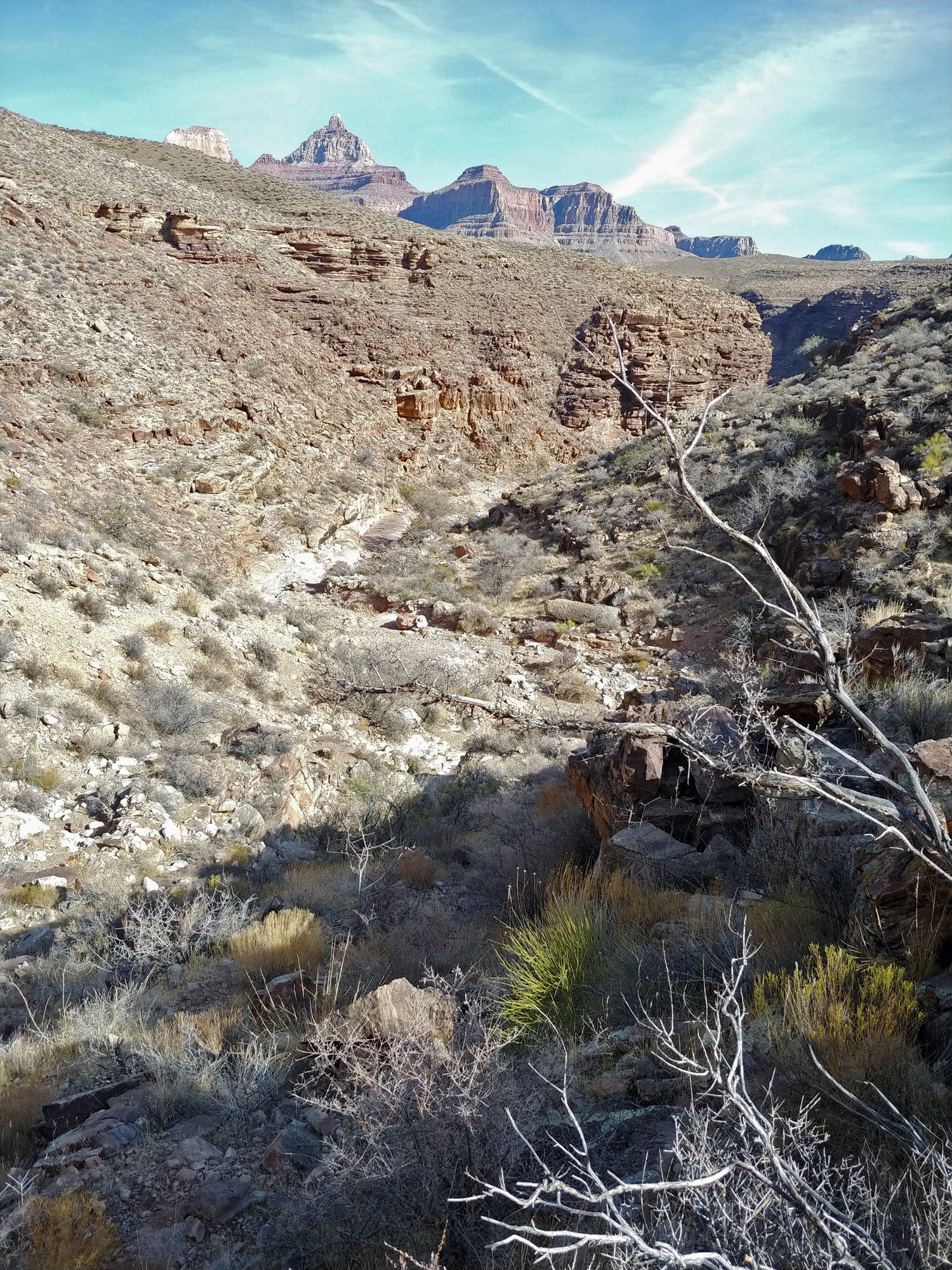
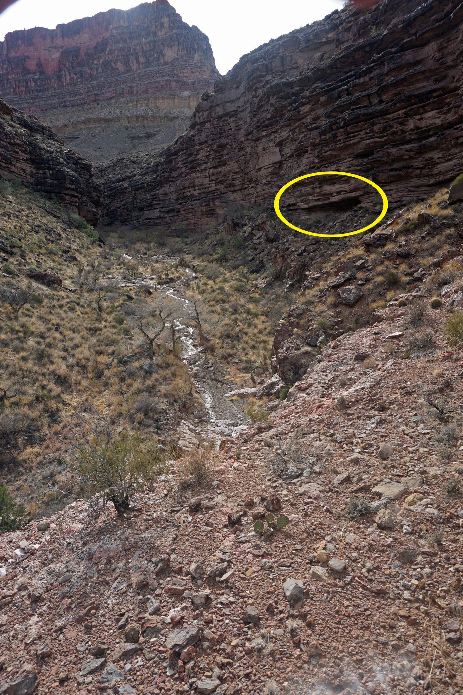
The trail on the map is shown as going down to the bed
and then following it to the junction with the wet/east arm of
Cottonwood. Consequently, I did not expect to see any signs of an old
trail here as it would have been long washed away. But, it was not
difficult to walk down the bed to the junction.
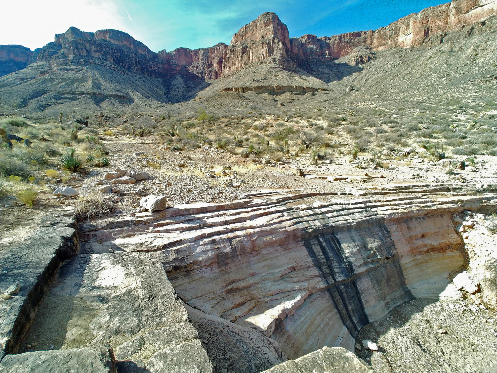
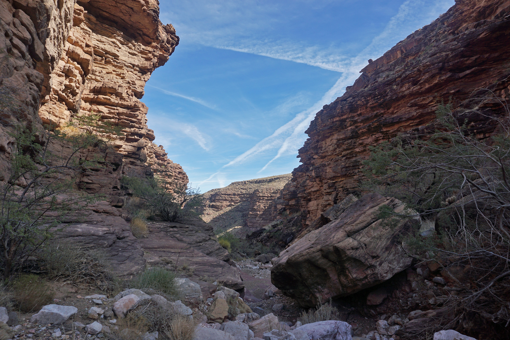
On my way, I began to wonder why there was a trail
here. Today, it is really cool to be able to get below the Tapeats and
enjoy the idyllic little creek with cottonwoods dotted along its banks.
But, why would this be done 120 +/- years ago? You don't need to get
below the Tapeats to reach water and the upper part of this creek is, to
my mind, just as attractive.
I thought maybe this trail went to some unusual site -
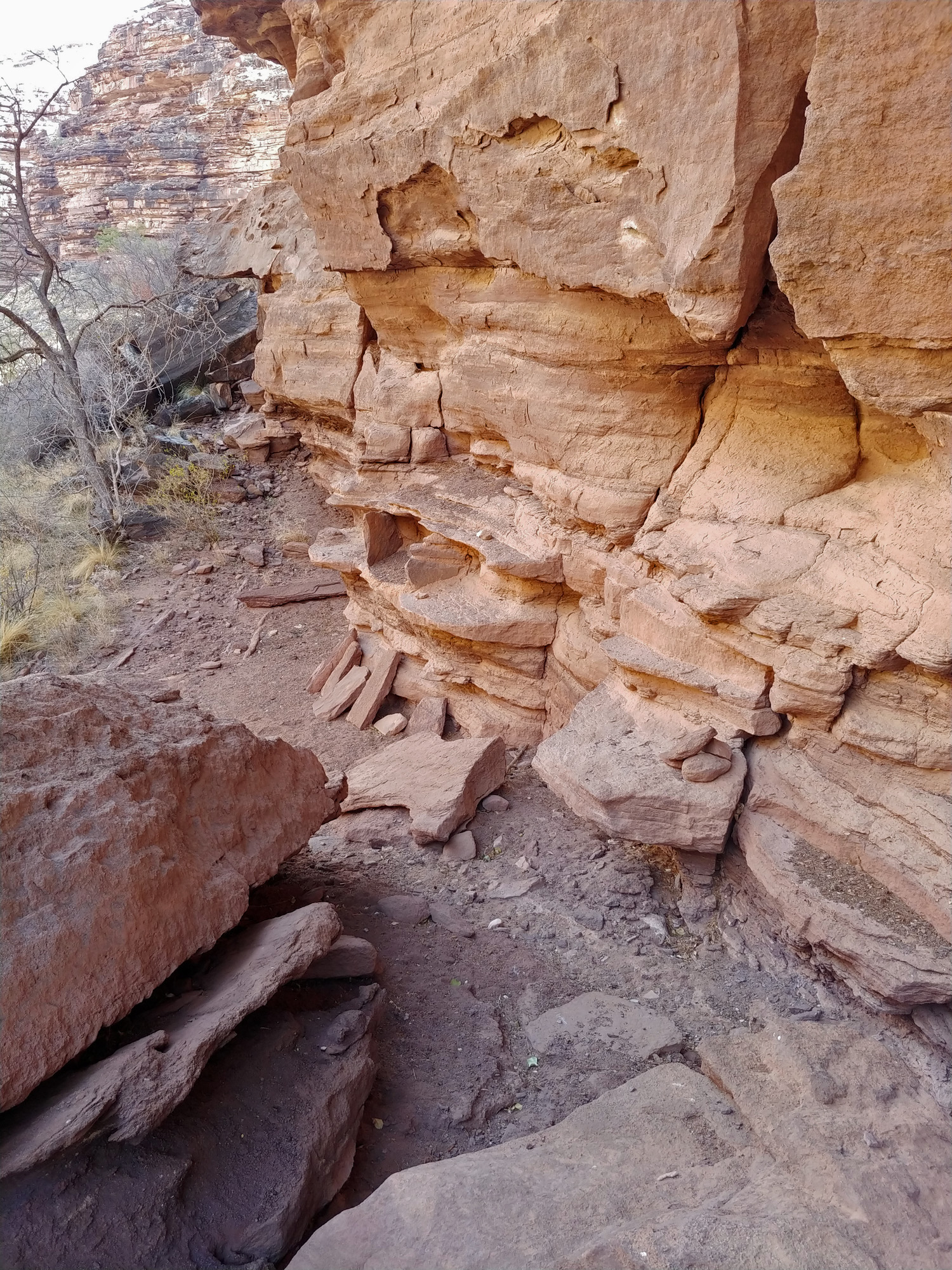
old ruins, maybe? I kept my eyes peeled for this possibility. As I
neared the junction I could see that there were nice areas at the base
of the Tapeats that were protected by overhanging ledges. So, I checked
these out. Sure enough, I came across a single, solitary ruin - the bare
remains of an old granary. I suspect there was more here in the past,
but now is gone. Or, I will need to do more exploring if I can return.
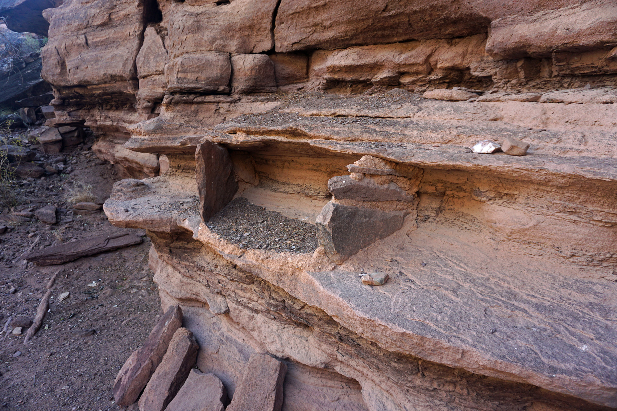
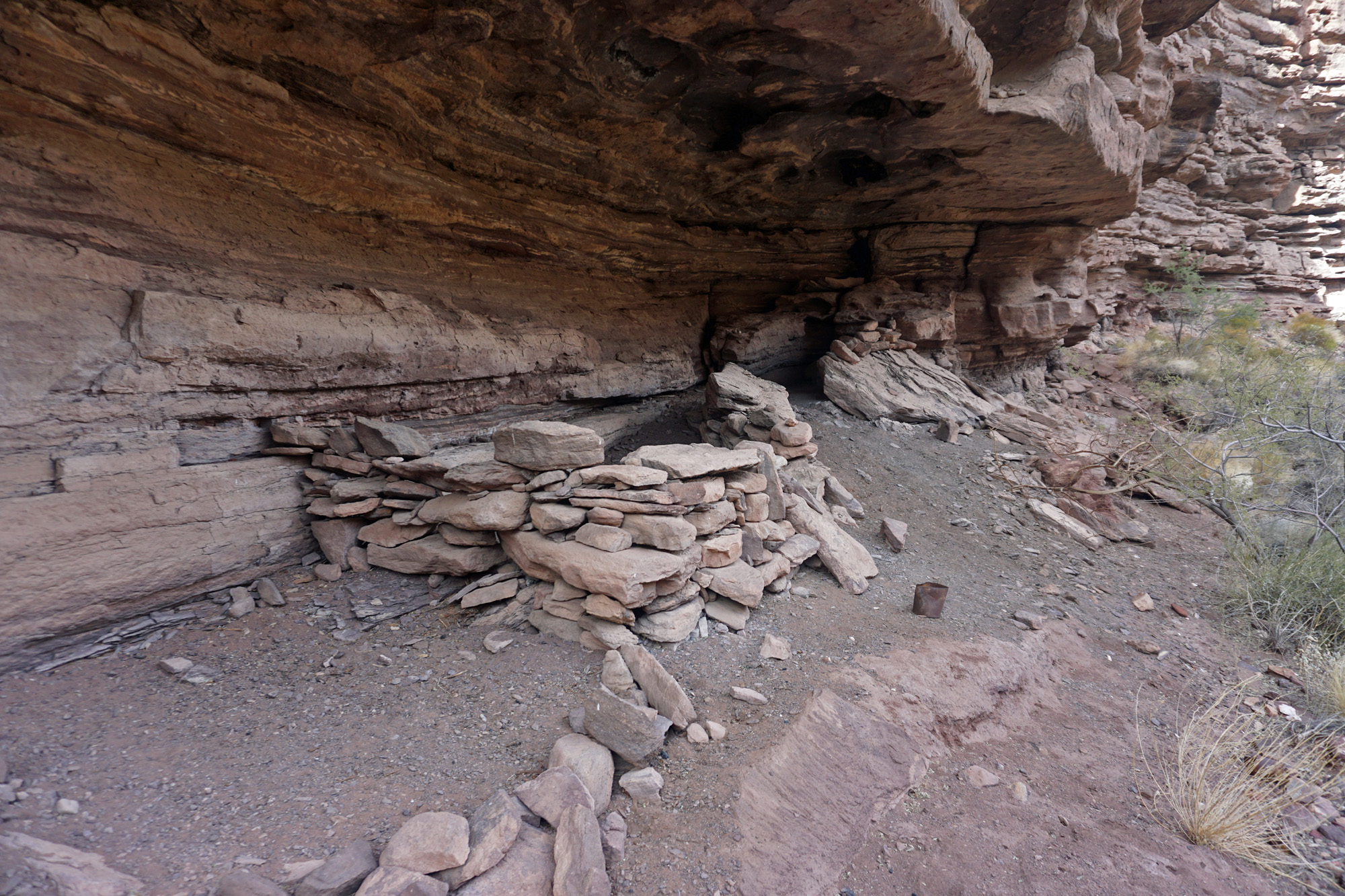
A bit upstream was a very nice overhang and I could see
a walled structure. That turned out to be something more current, from
the days of the prospectors. Perhaps these stones were once used for an
older structure (like the Beamer cabin at the LCR).
While this is not some earth-shattering find, it was
great to be able to add this piece of the Grand Canyon puzzle to my own
experiences. If you are interested in more, here is a link to my
presentation on "Old Maps and Forgotten Trails in Grand Canyon," given
at the Grand Canyon History Symposium in 2019:
https://vimeo.com/328017775
|
