 |
|
|
Hermit
Trail Area Various Short Trip Reports by Dennis Foster |
|
|
|
|
|
|
|
Hermit
Trail Area Various Short Trip Reports by Dennis Foster |
|
|
|
|
| Writing up a full-fledged trip report for every hike I have done in the Grand Canyon would suffer from at least two problems. One, there are plenty of trips where not much happened. This was especially the case for day trips that I took mostly for the purpose of hiking down and back as fast as I could. Second, it would get repetitive. How many trip reports do you need to read on hiking to Plateau Point? Well, just one really. But, there are usually some interesting features to remark on for every hike, and some unique photos. So, I will endeavor to fill in this page (and, others) with these short stories and photos. They are arranged, from top to bottom, in chronological order and linked to the list below. | |
|
|
|
|
|
|
|
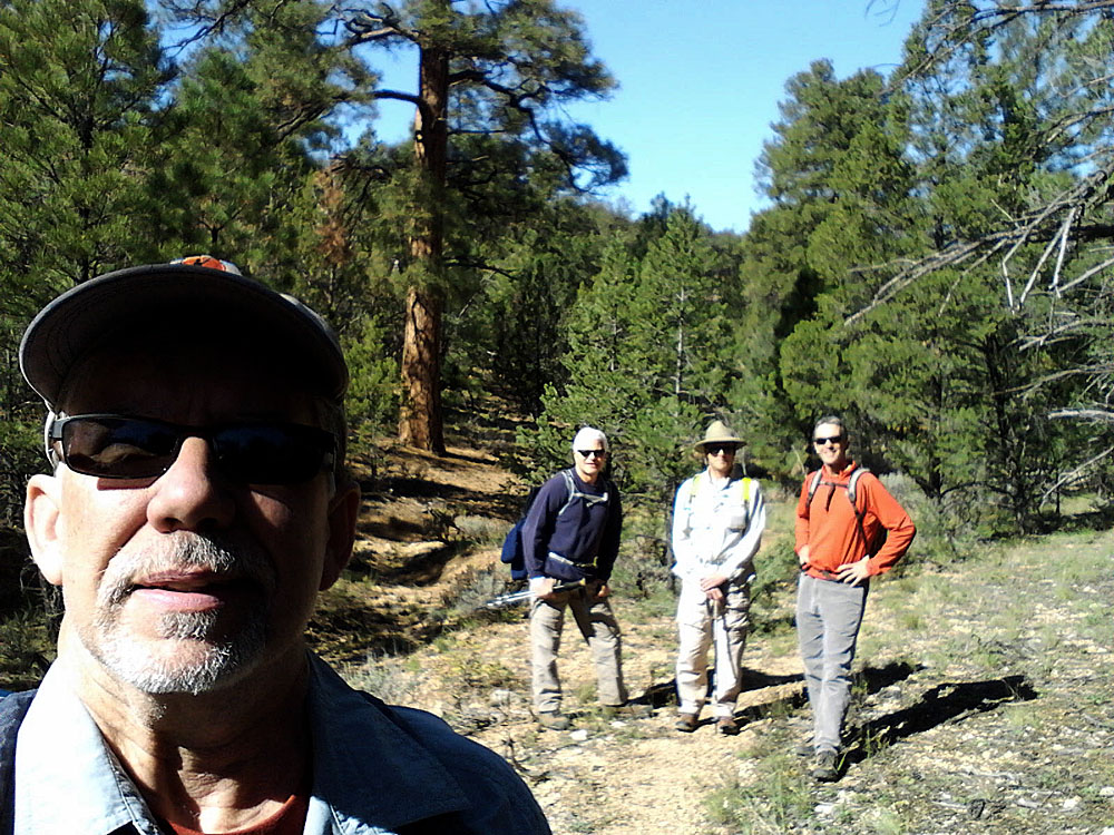
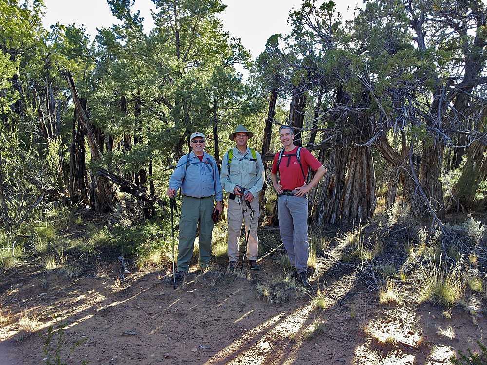
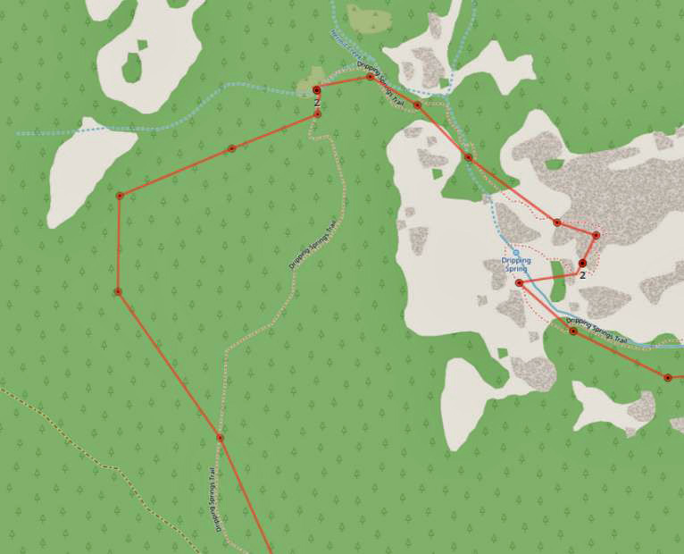
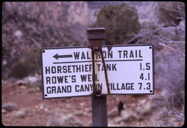
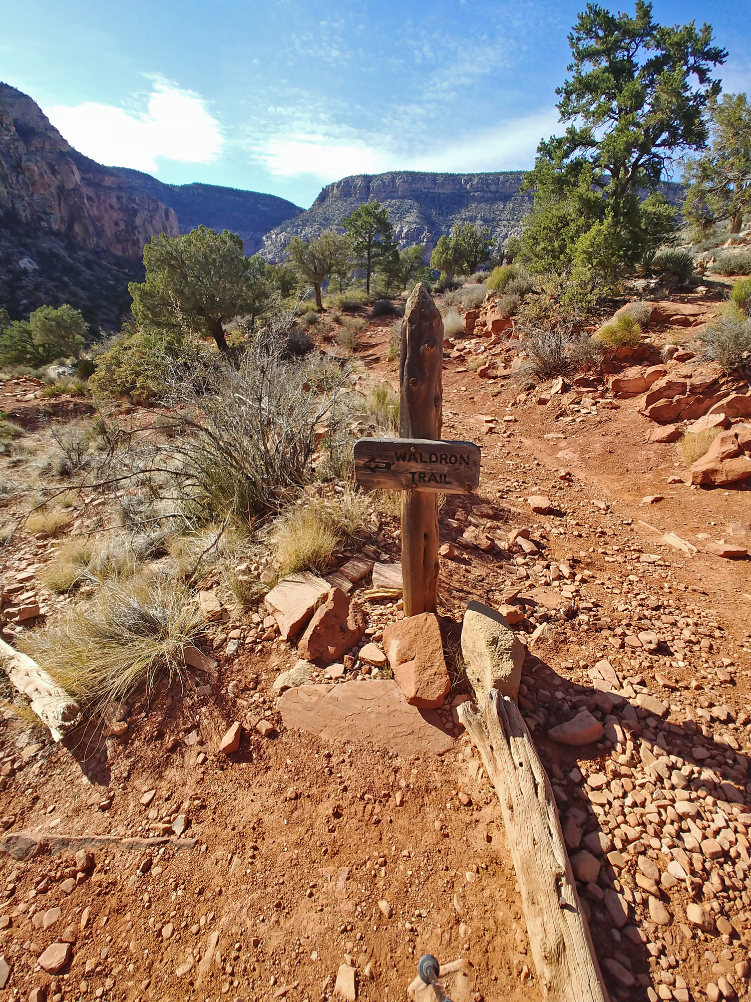
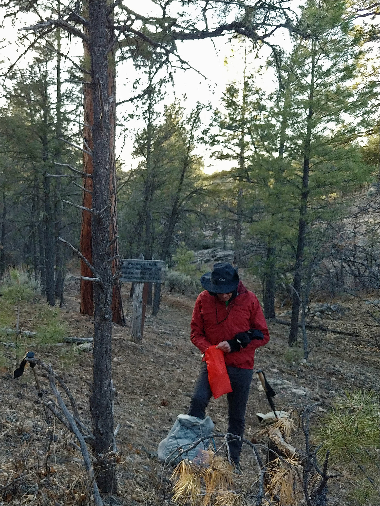
The Waldron - Silver Bell Loop Every fall,
at the behest of colleague TS Amer, I organize a hike in the canyon for
interested faculty members. Sometimes we get a lot of interest and
sometimes it's just a few of us. For this hike we all fit into
John's double-cab pickup, which was convenient. I've done this
loop a few times, but always from Hermit's Rest. For this hike, we
were going to try and find a good spot in the forest (outside the park
boundary) to be able to hike to the Waldron Trail,
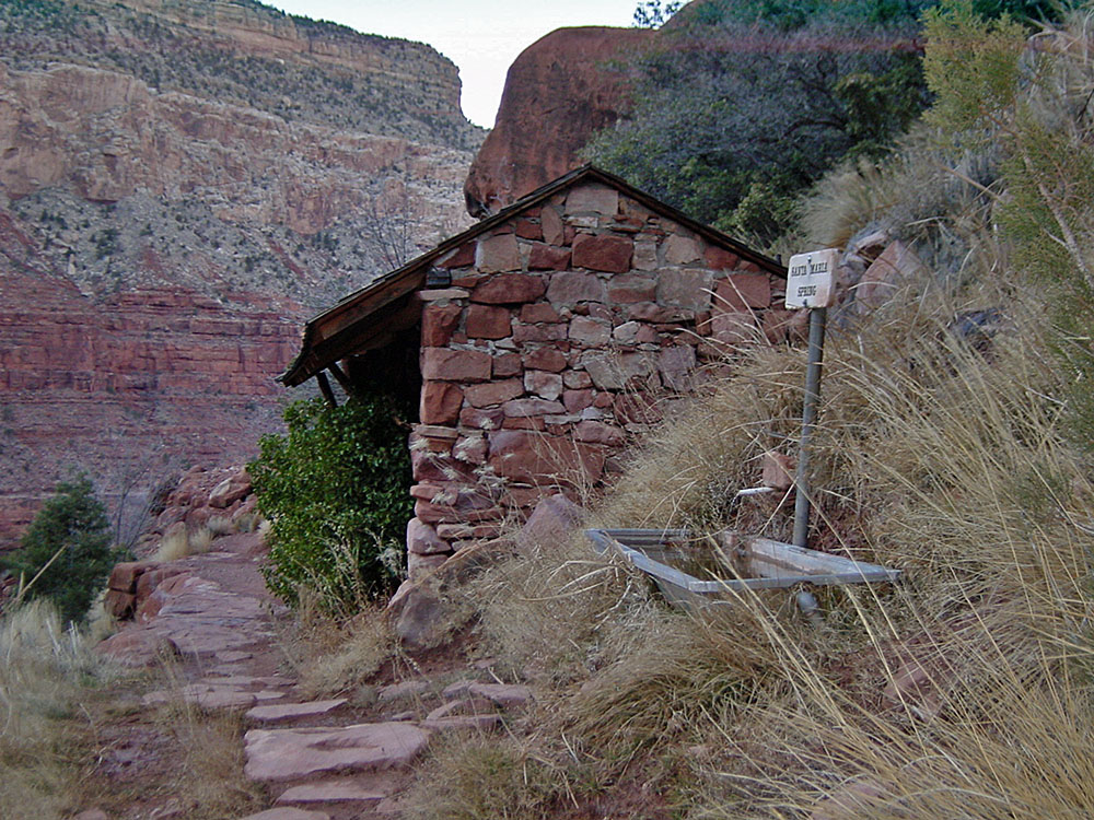
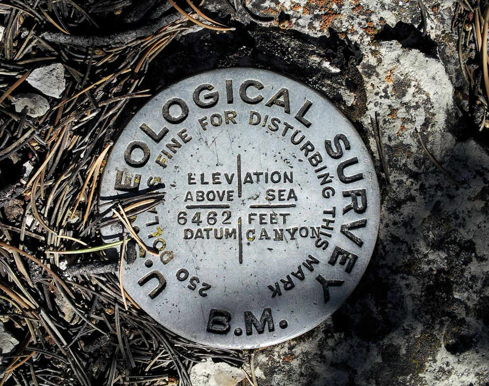
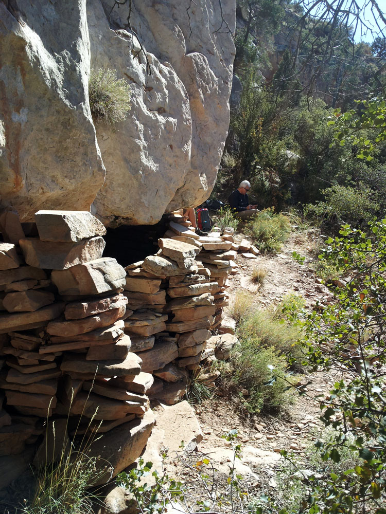
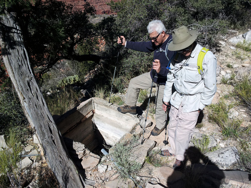
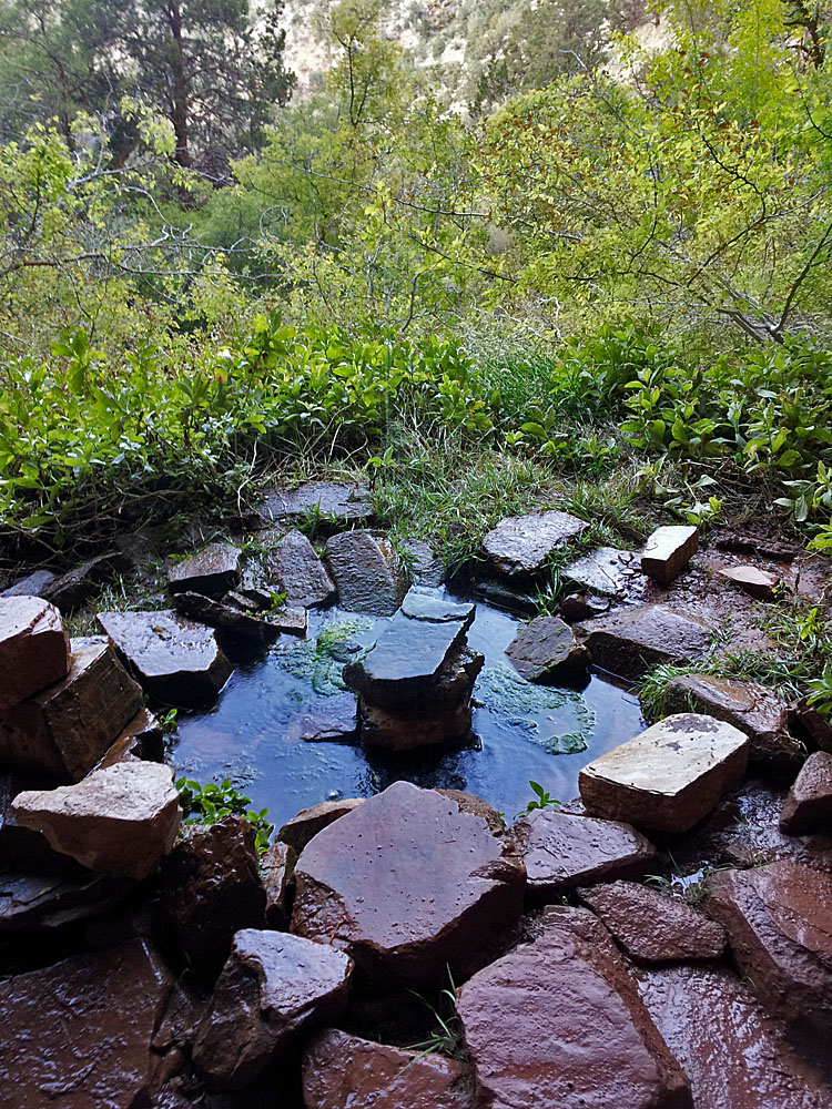
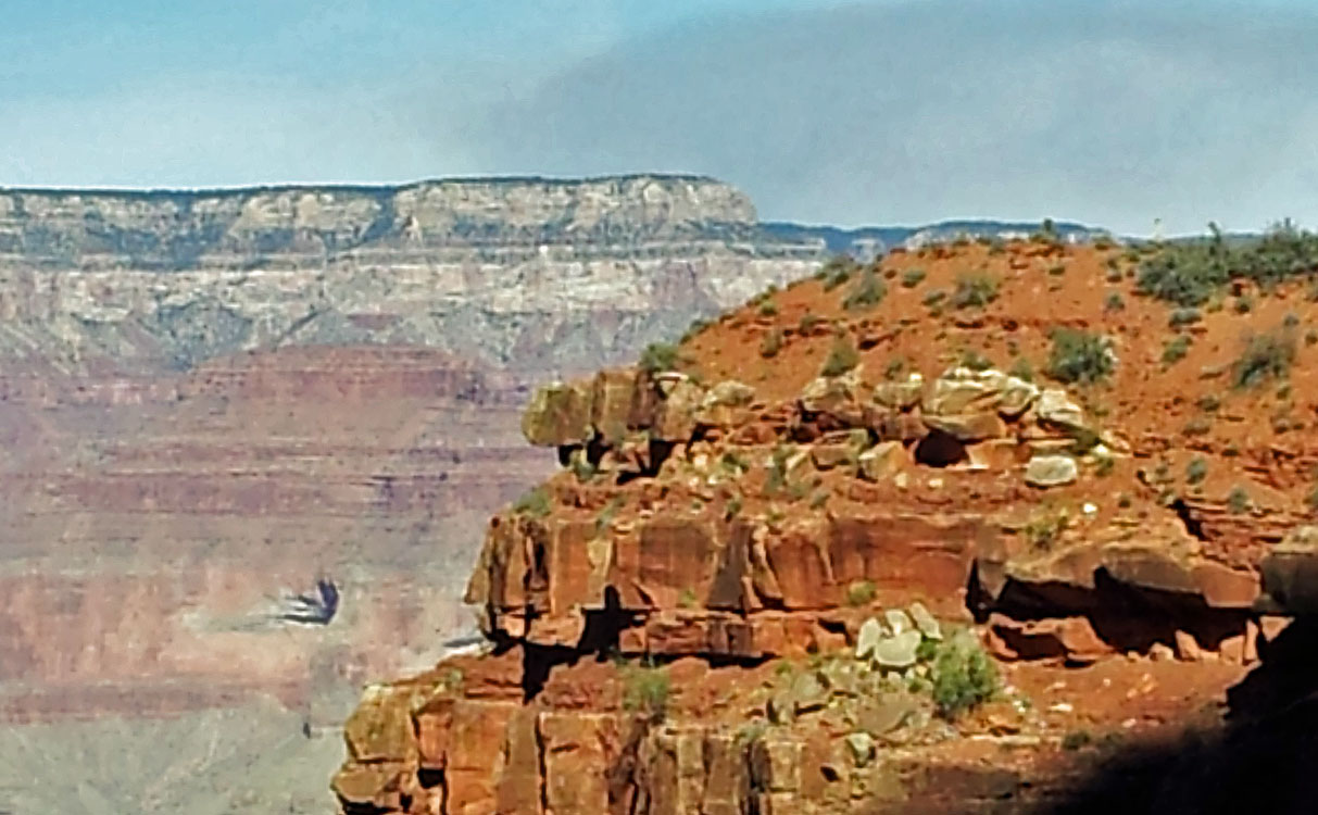
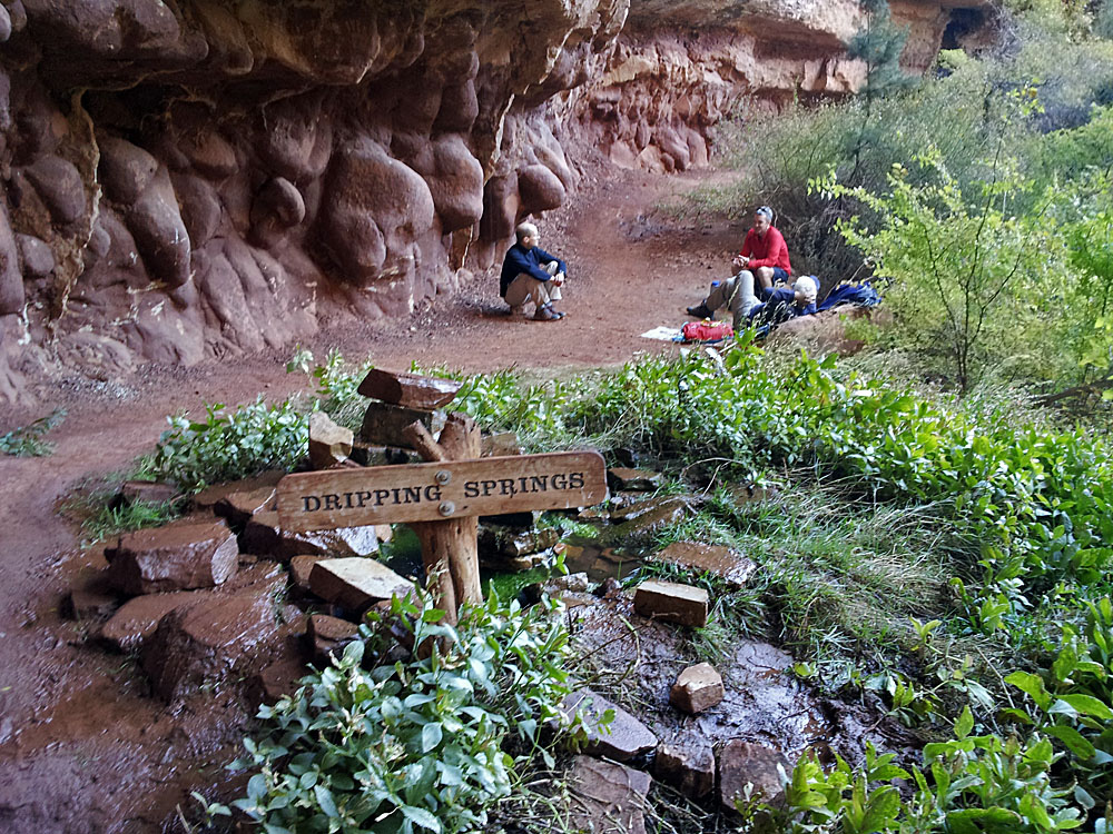
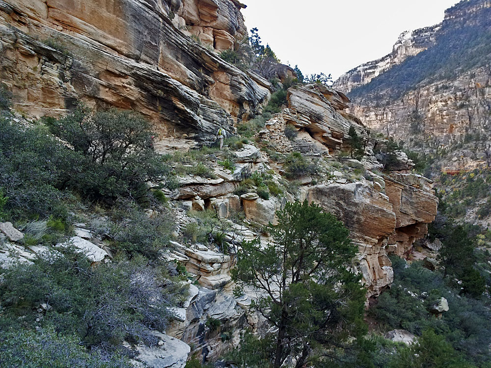
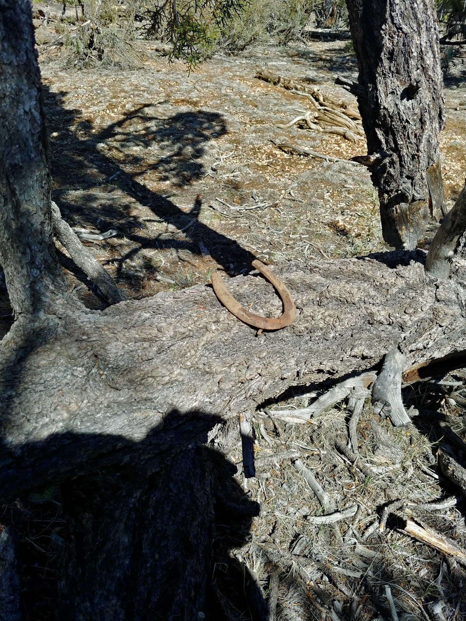
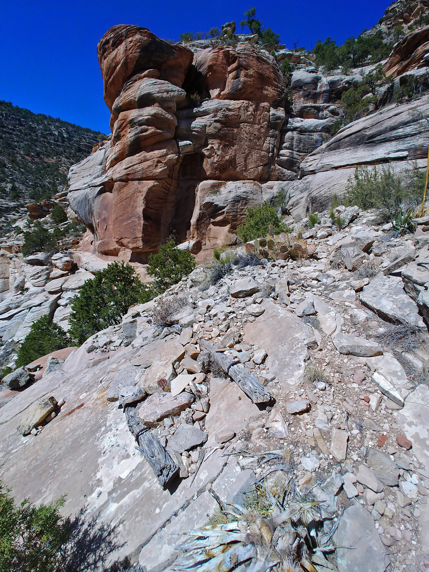
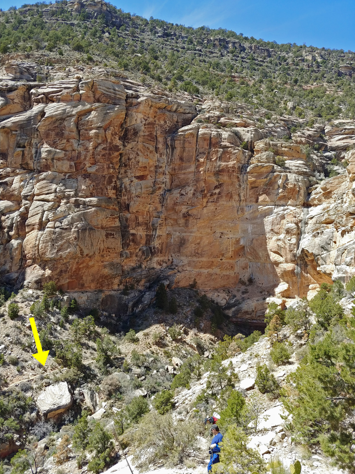
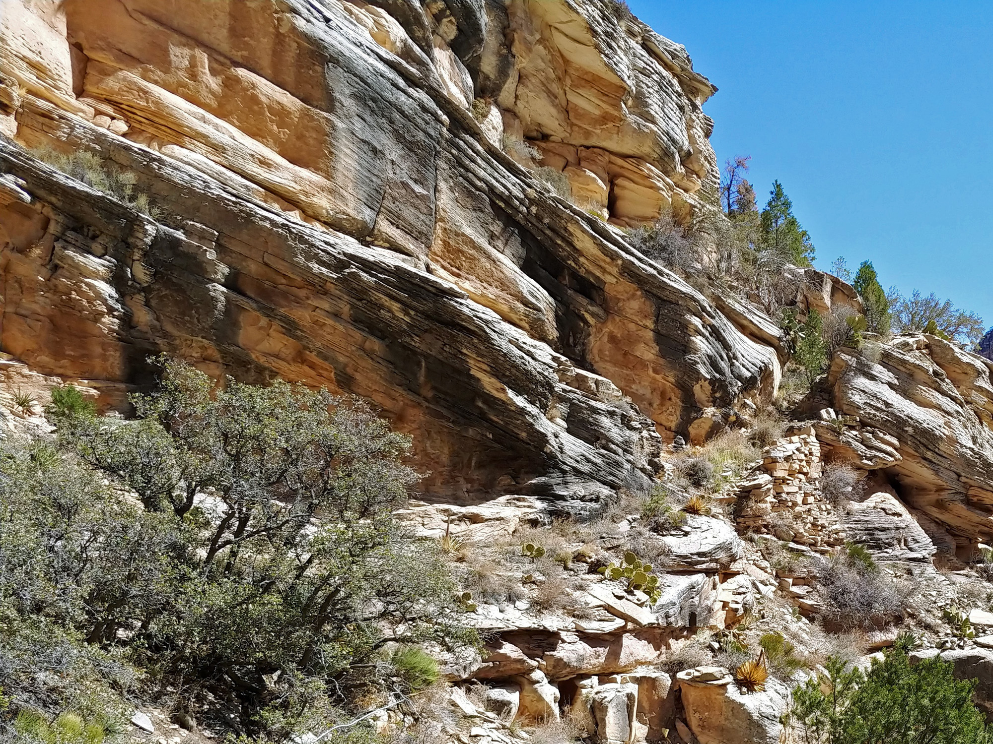
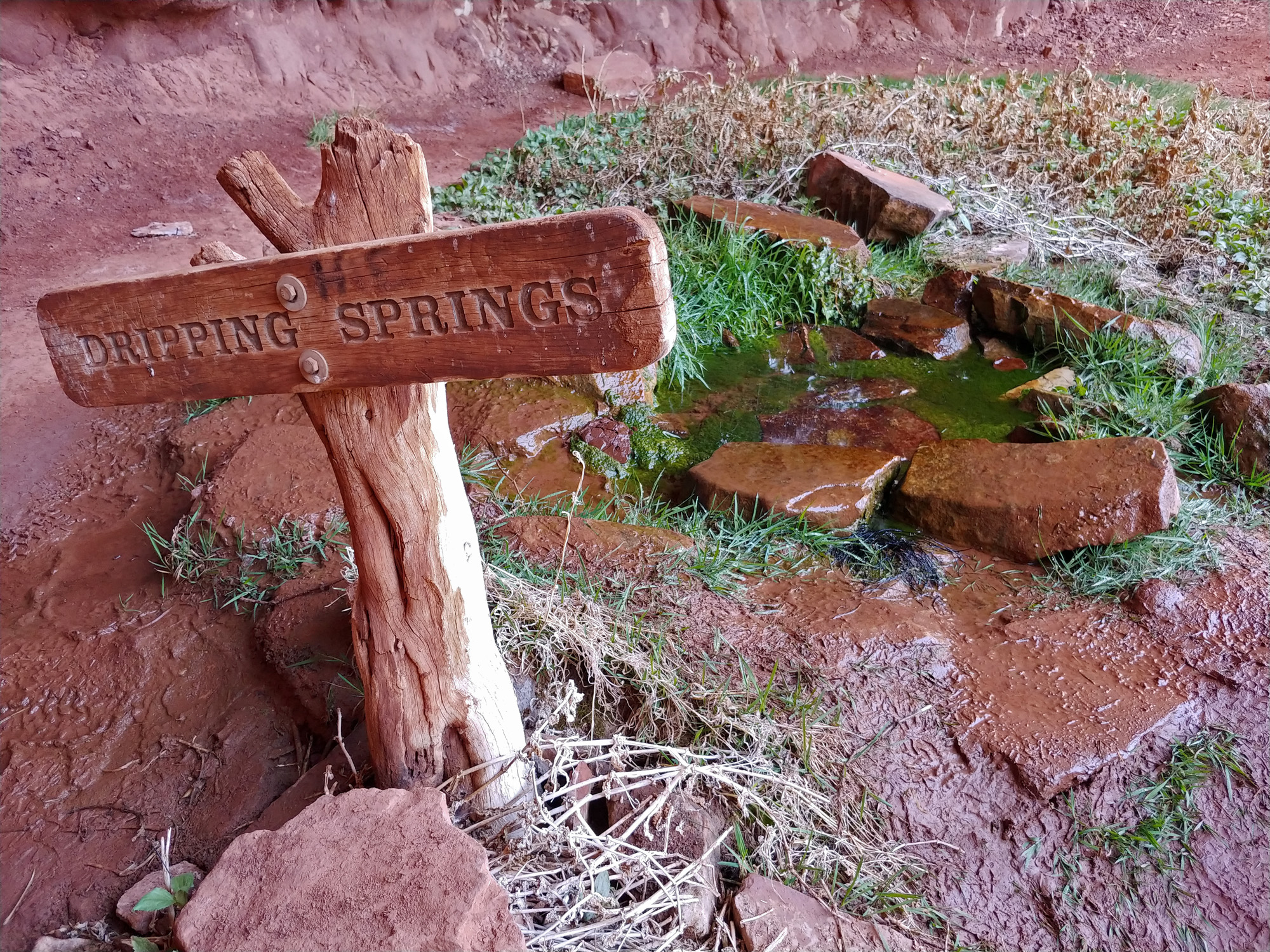
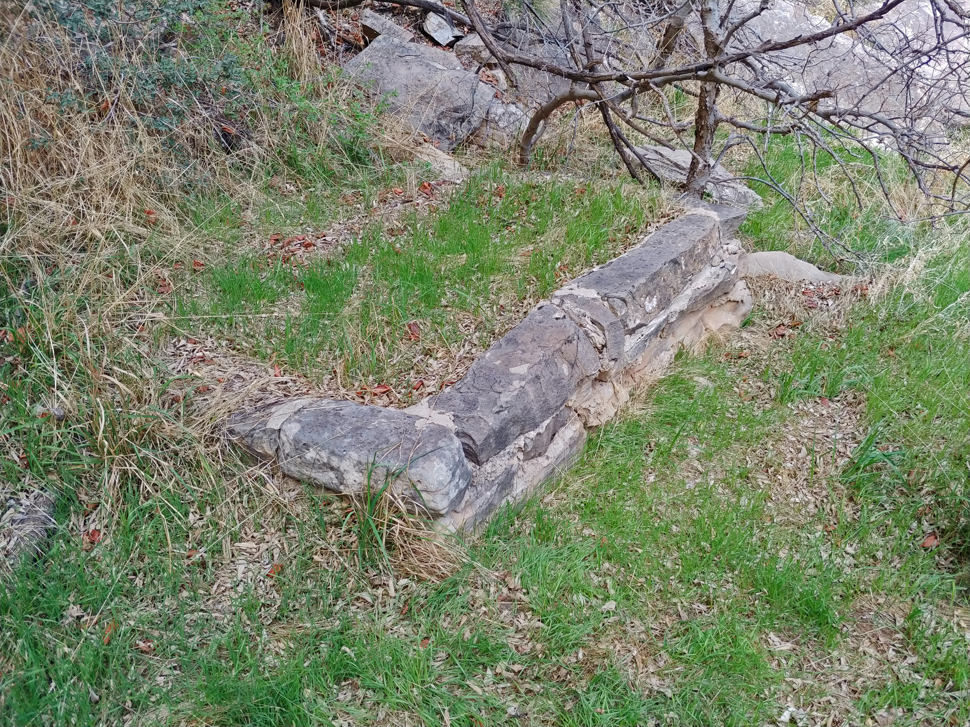
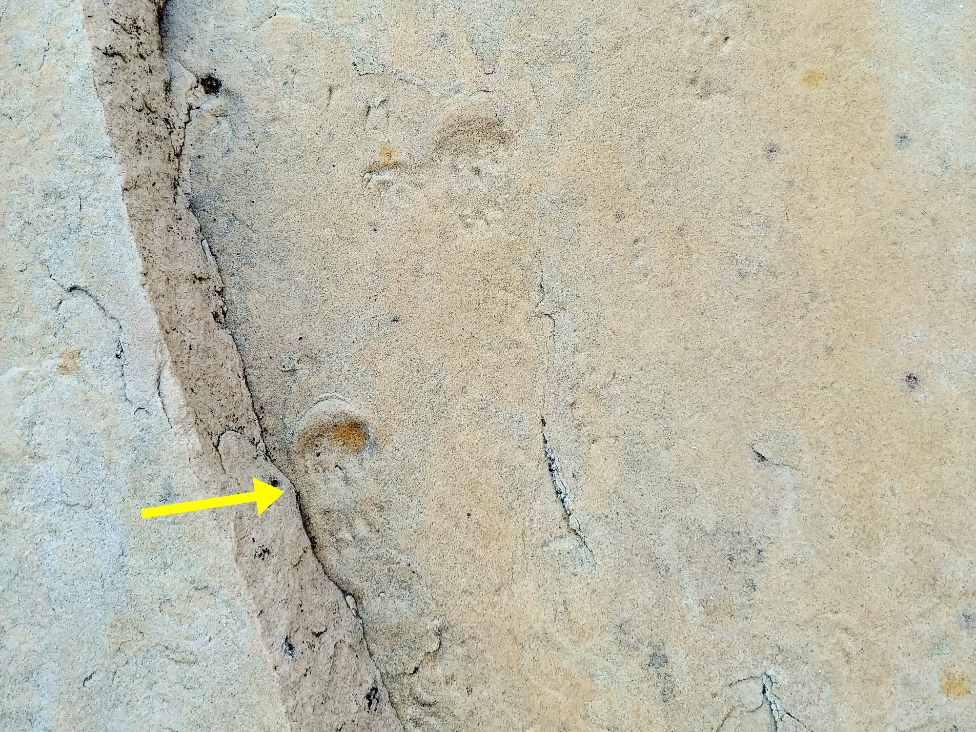
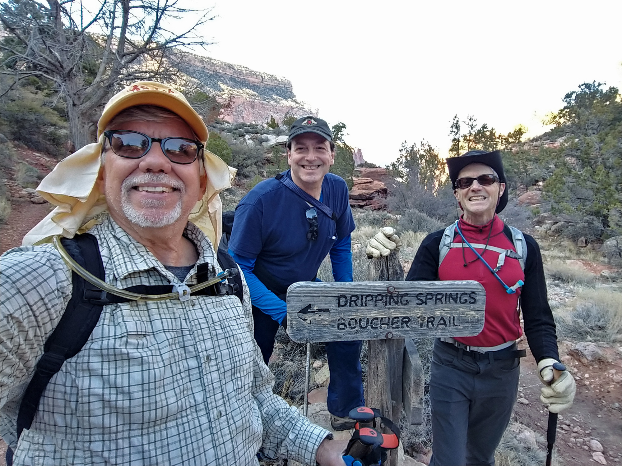
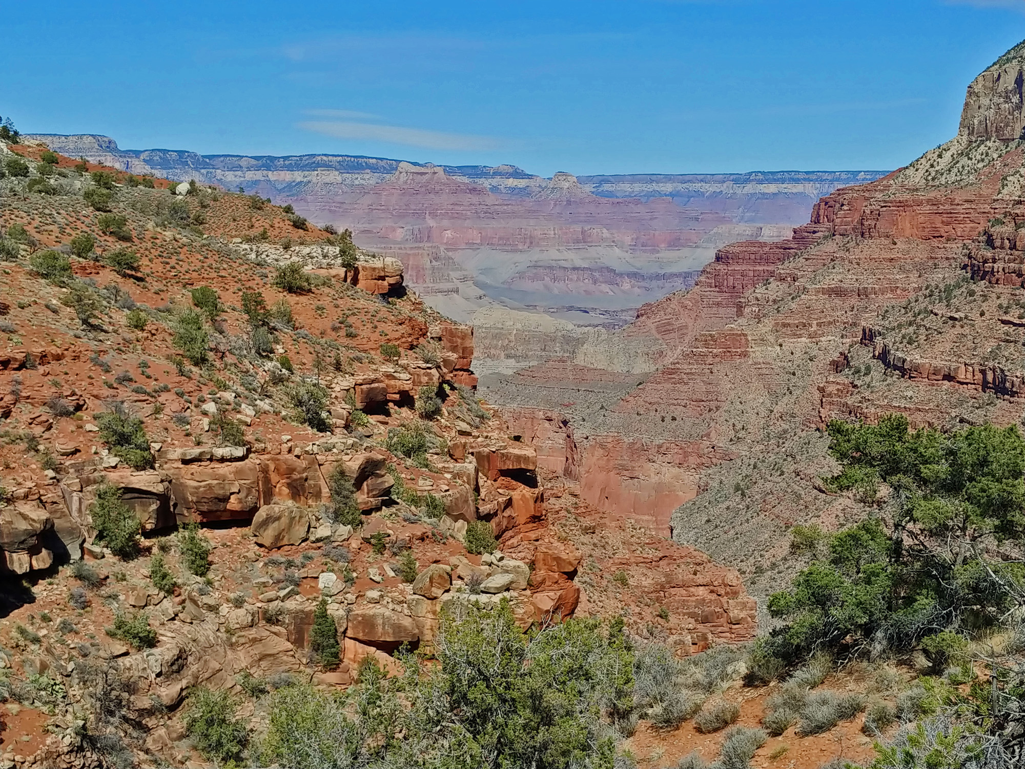
I was using my REI flash pack and it weighed a comfortable 14 pounds, which included two and a half liters of water. The overnight lows were in the twenties and so it was still quite cool when we started hiking at 10:15 a.m. The projected high for the day was in the sixties. It only took us 15 minutes to reach the so-called boundary road and another 15 minutes to reach a cairned junction that we took to be the older roadbed that leads to the Waldron trailhead. About ten minutes later we passed by a benchmark, shown below. It doesn't match the one on the map, being six feet higher, but maybe the one on the map is an older reading that was later changed, or vice versa. By 11:00 a.m. we were on the trail and we reached the junction with the Hermit Trail, in the Hermit Basin, an hour later. We went up the Hermit a bit to poke around at the old Sweetheart Spring site, which I had first visited in 2005, and have previously written about. We had our lunch here and were off on our way at 1:00 p.m. We reached the junction of the Dripping Springs Trail and the Boucher Trail an hour later and twenty minutes after that, at 2:20 p.m., we were at Dripping Springs to enjoy another break. A few minutes before three o'clock we started up the trail from here. Boucher called his trail the Silver Bell, and that seems an appropriate name for this segment to the rim. Most hikers that are going down, or coming up, the Boucher Trail are likely to be using the Hermit Trail, so this portion doesn't get much use. It is easy enough to follow, but getting overgrown with bushes. It pops out onto the rim near an old corral that is mostly still standing, which we reached an hour after leaving Dripping Spring. [Finding the trail going down from here can be a challenge due to all the scrub oak.] We reached the boundary road at 4:40 p.m. and were back at the truck at 4:55 p.m. |
|
|
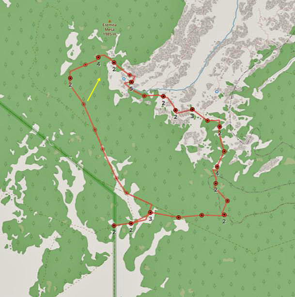
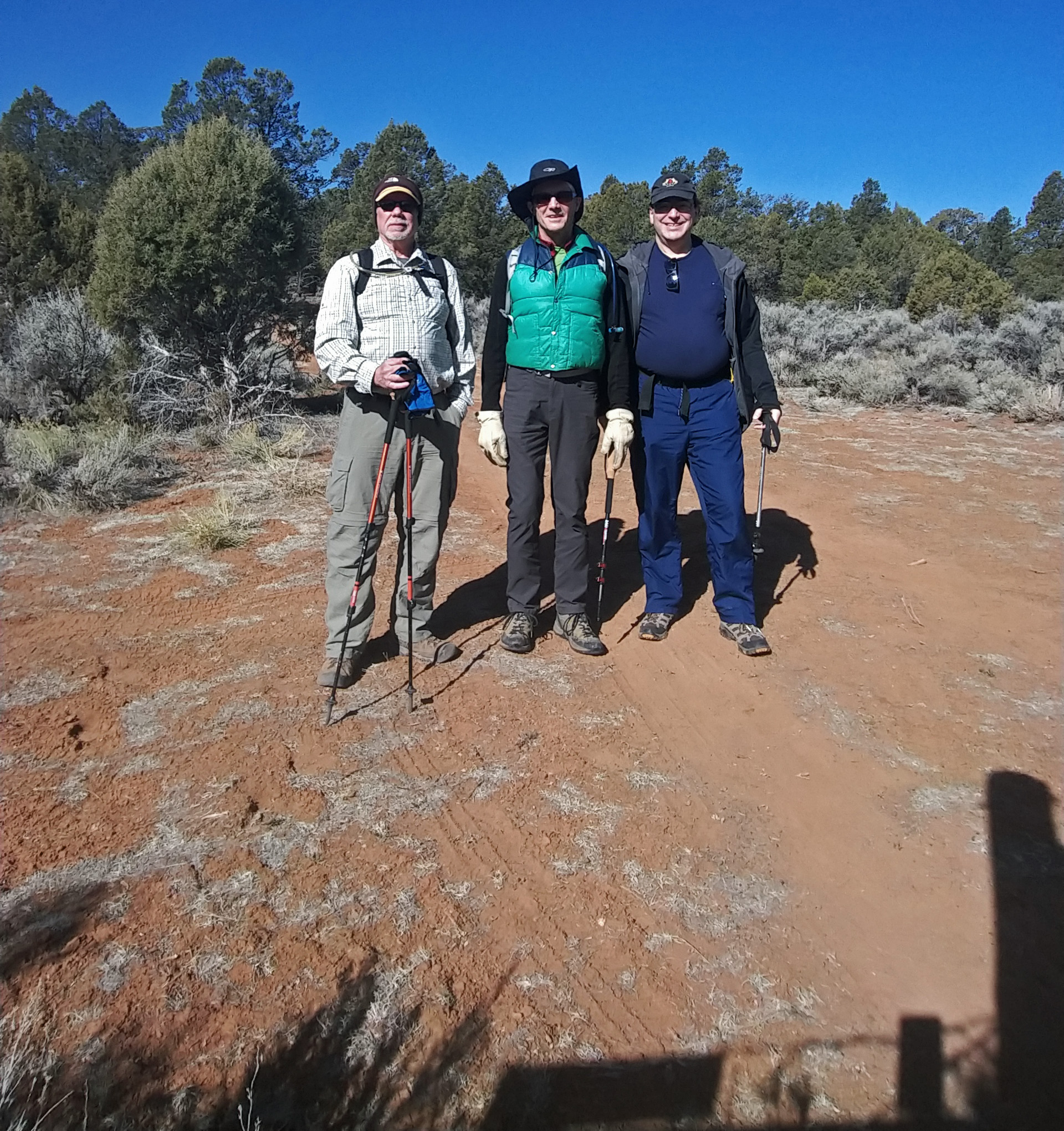
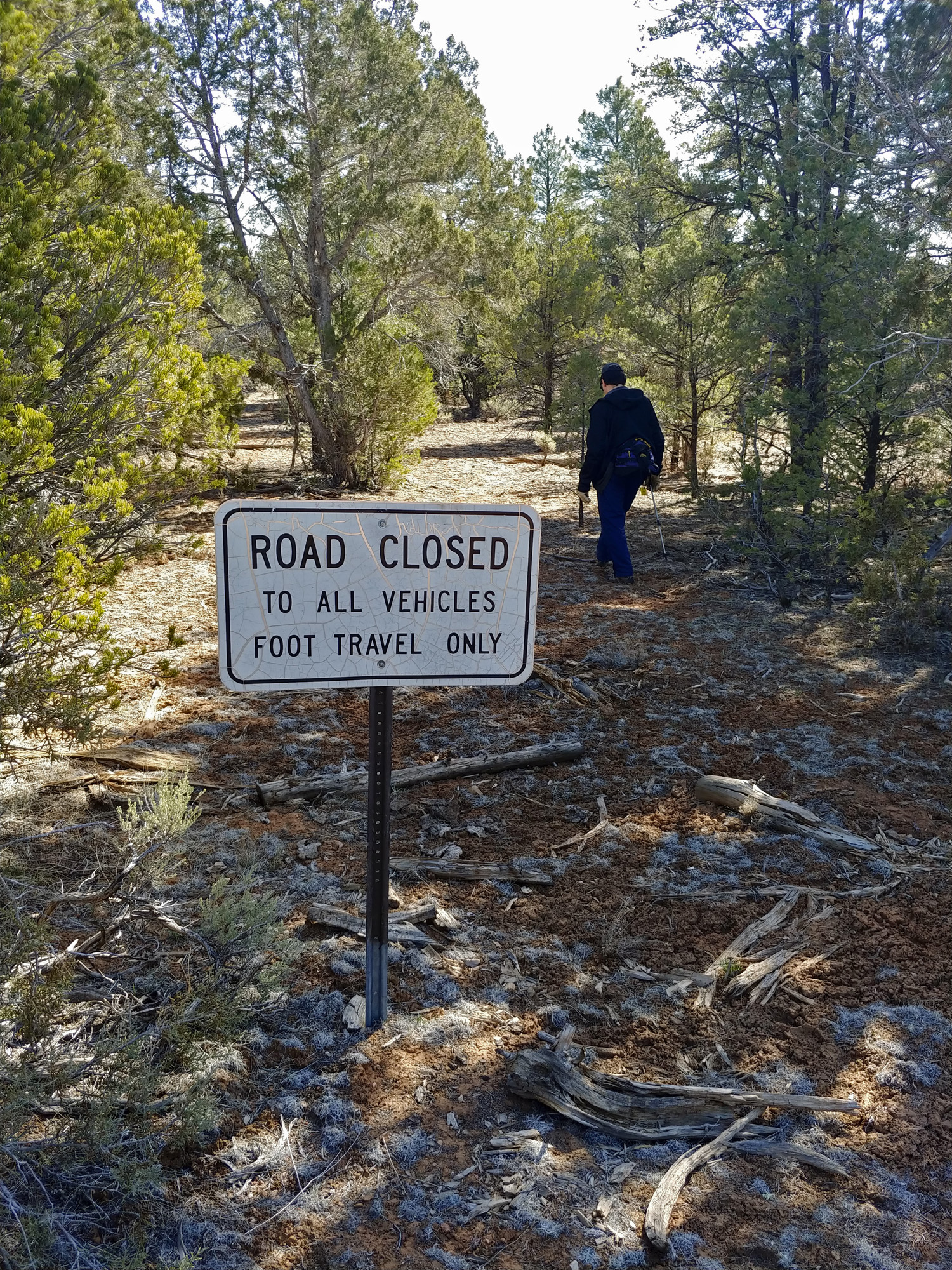
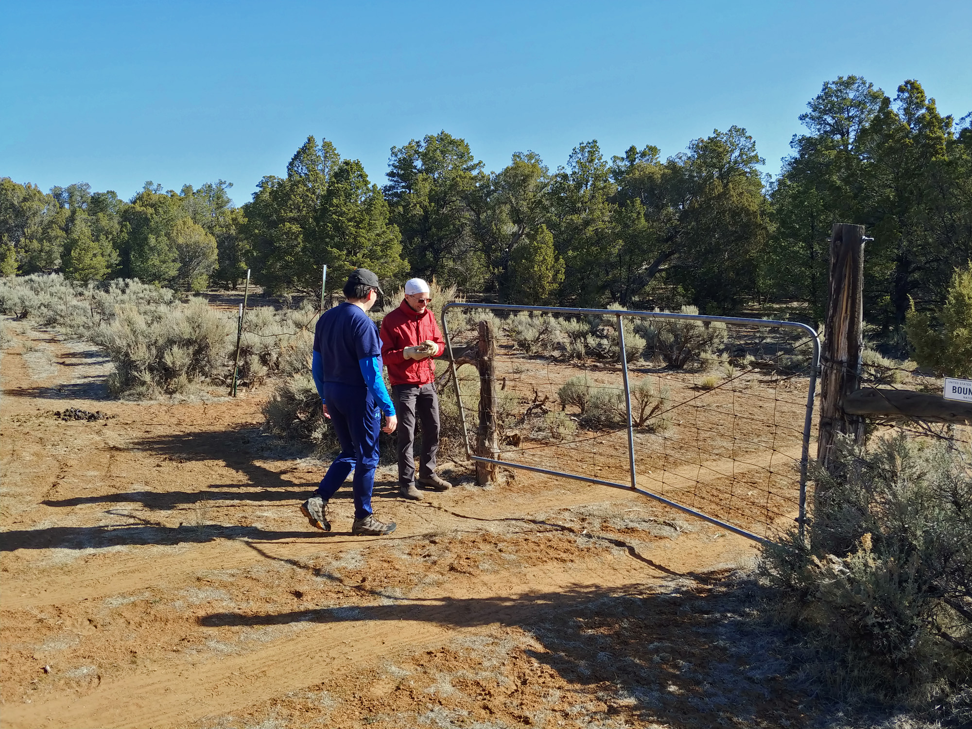
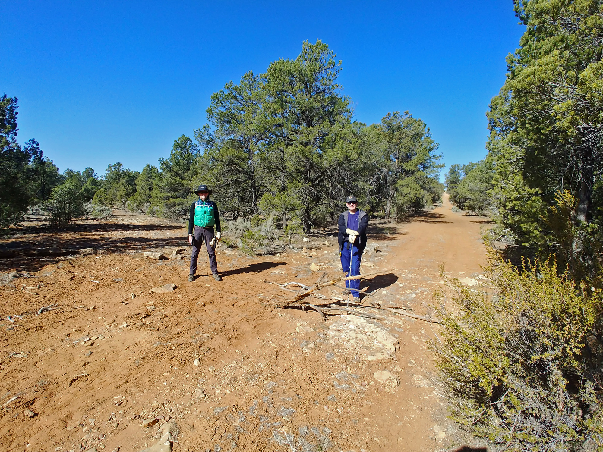
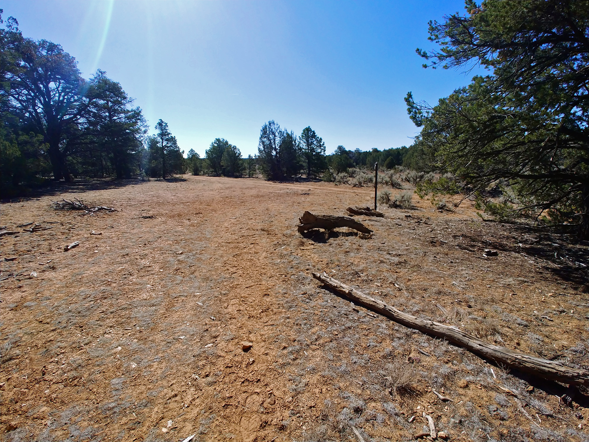
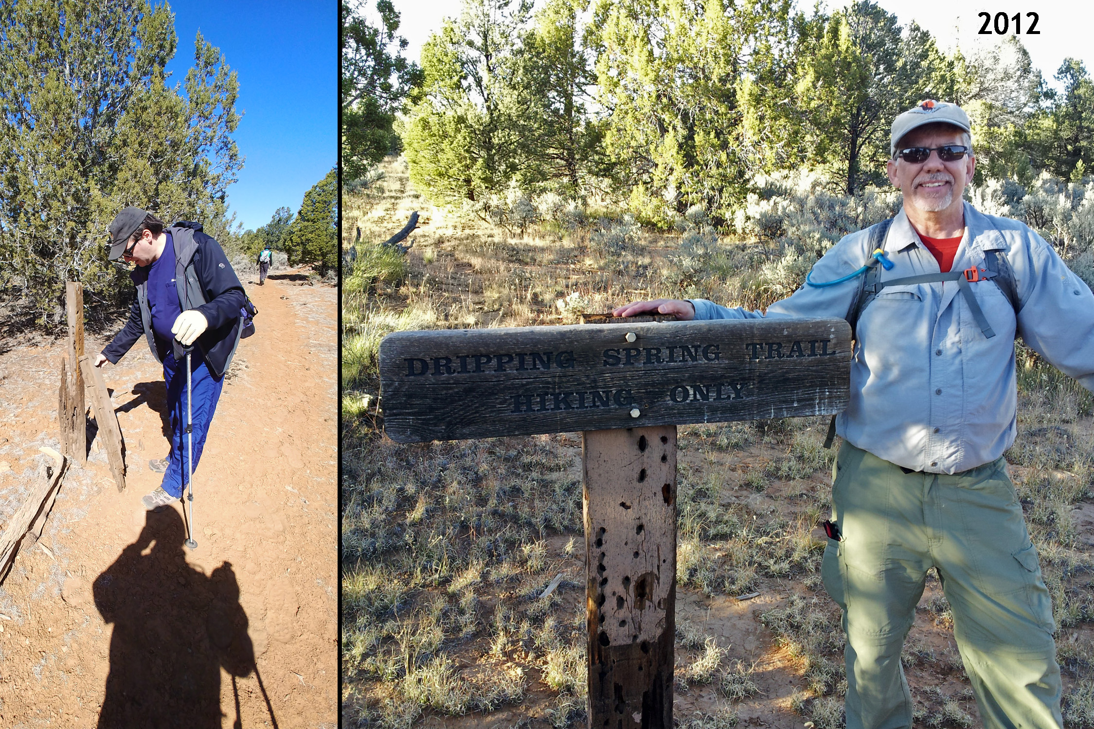
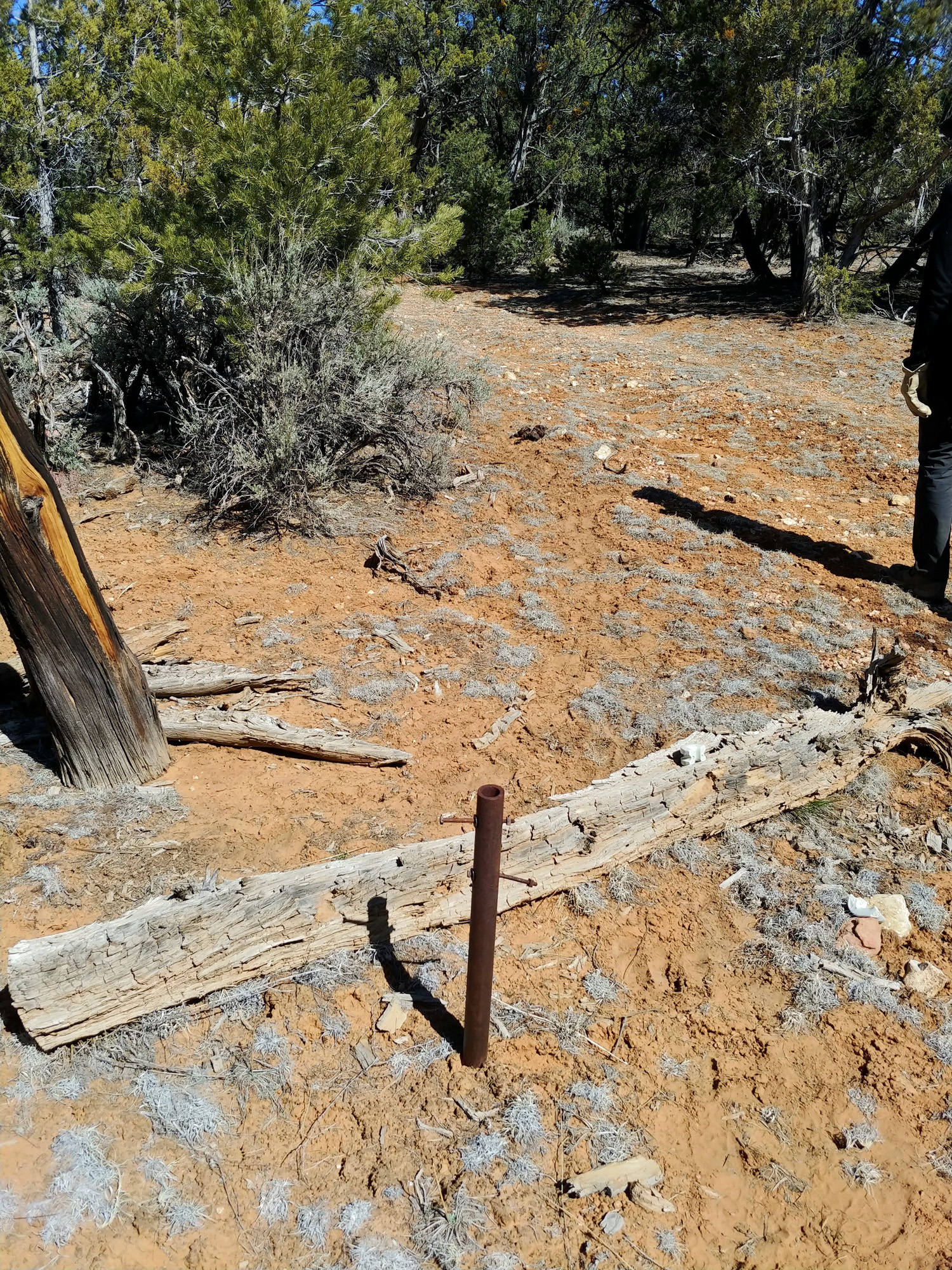
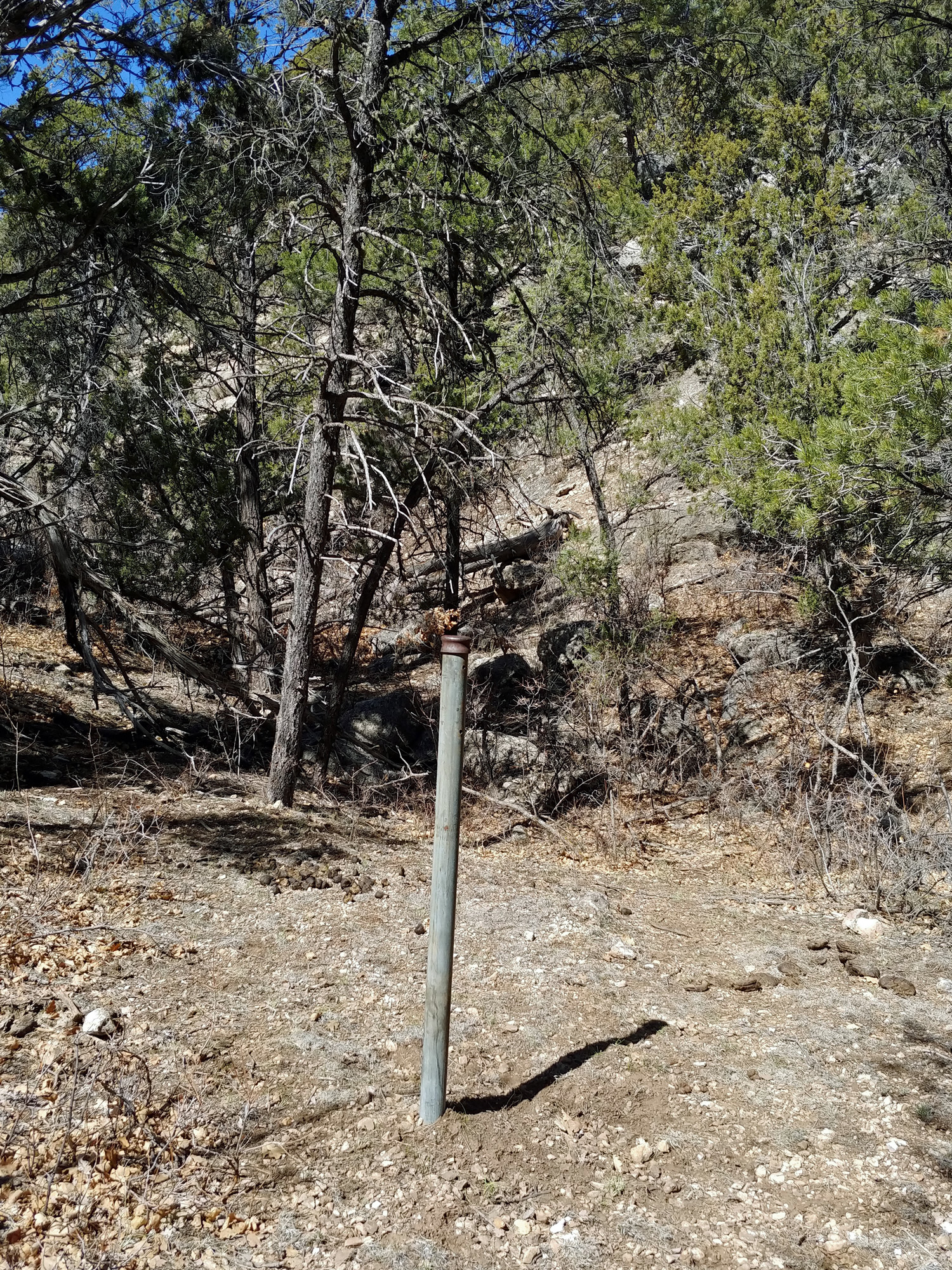
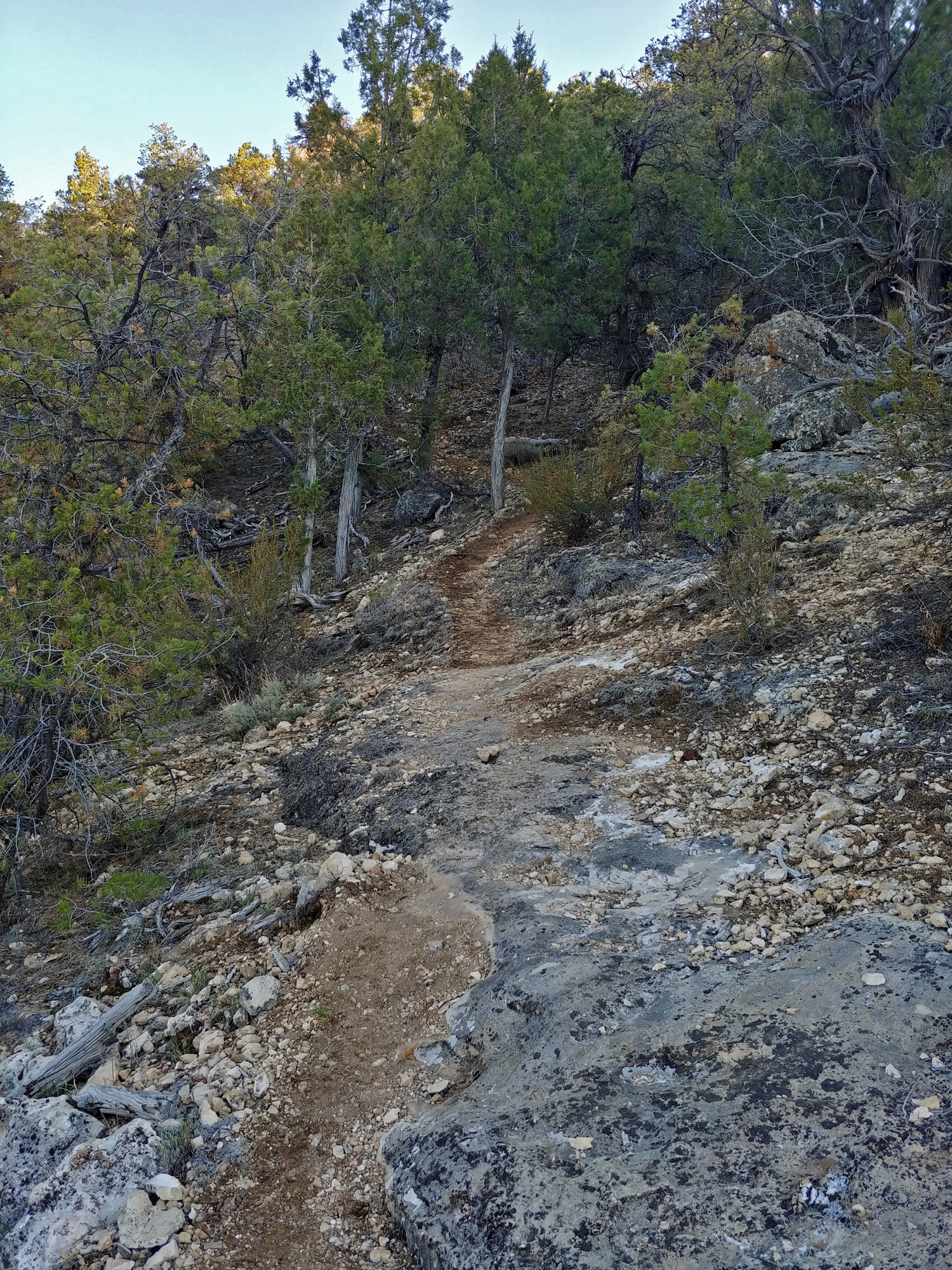
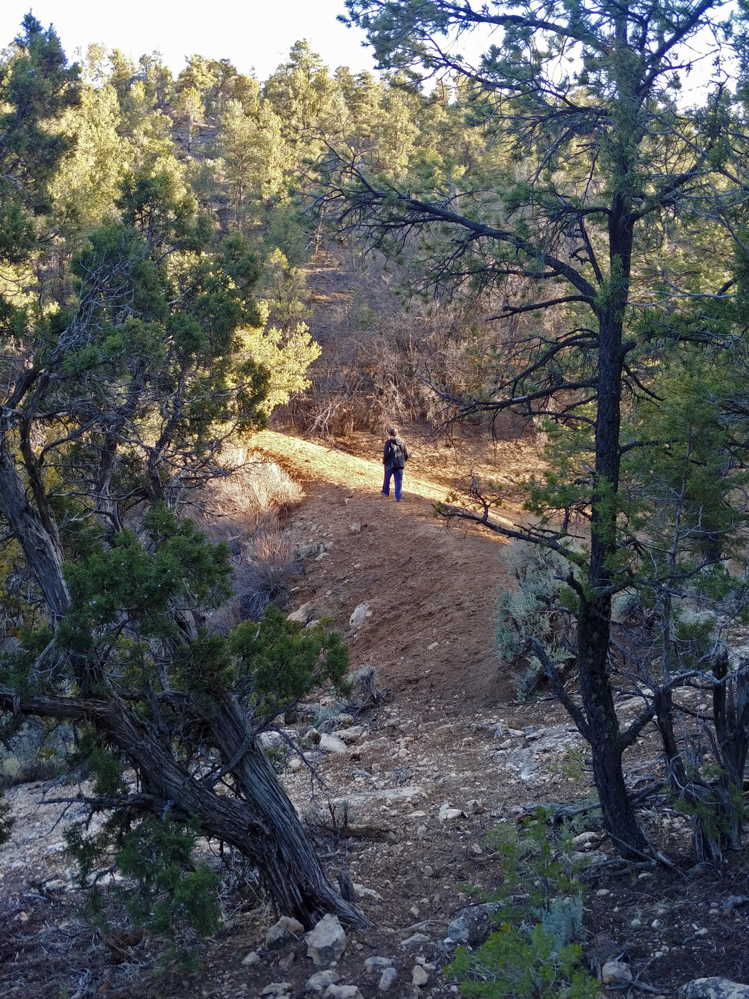
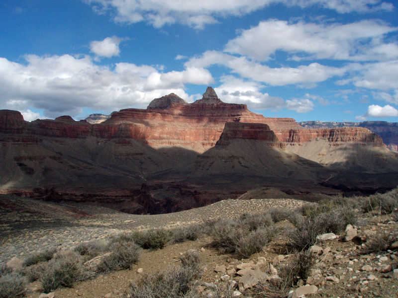
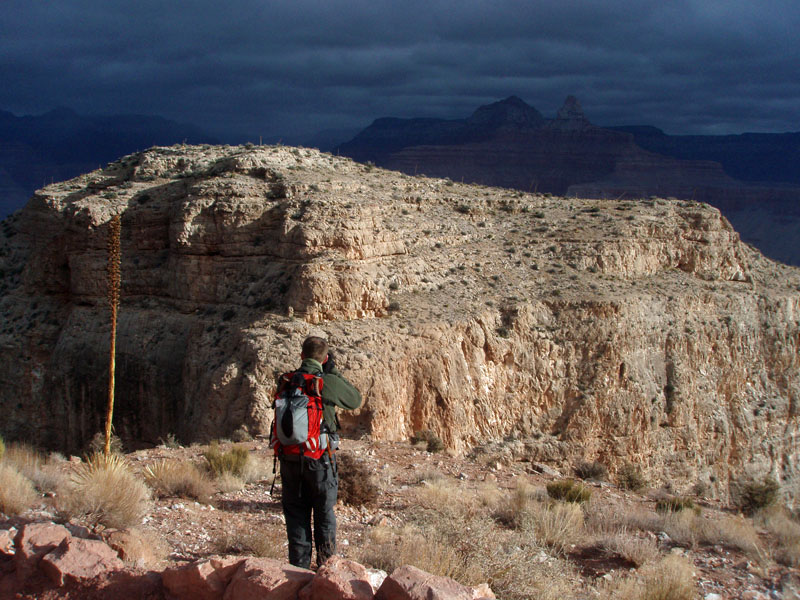
The Silver Bell - Waldron Loop With his brother Dan visiting from Wisconsin, John Eastwood & I decided a good hike to take in the Grand Canyon would be to do a loop down Boucher Trail to Dripping Spring, then across to the Hermit Trail and back up to the rim via the Waldron Trail. We hadn’t paid too close attention to the weather, but timed it perfectly, going up on Monday when it was cool but sunny, a day before a middling snow storm hit. To access the Boucher, aka the Silver Bell, we would need to drive on some dirt roads in the forest to the park boundary and then hike along the rim roads to the trailhead. In 2012 I did this same hike with John, although in the opposite direction. At that time, we followed a road that led to a gate at the boundary and were able to easily walk into the park and find our trail. This time we did the same. Although both of us thought we had found a different gate, my photos from nearly ten years ago showed that we had managed to find exactly the same spot to park and start our hike. We followed along a decent road for a bit and left it when we found an older, rougher road, that was marked with a “foot travel only” sign. That we followed to the so-called boundary road which goes many, many miles from the Village area to the abandoned Pasture Wash Ranger Station near to the South Bass trailhead. This we followed to the west until the old Eremita Mesa road branched off to the right. There is a sign post here, but no longer any sign. I am reasonably sure that I have seen the old sign, but that might have been back in the 1980s. A bit later this road then splits with the Silver Bell branching off to the right. There is also only a post here, but in 2012 there was a sign still posted. The condition of these old roads is noticeably more primitive, relative to my earlier trips over the past forty plus years. At some point we missed the trail and were just following an elk path. Lots of those around here and many are very well-traveled (by the elk!). We found ourselves on the north side of a major ravine starting to form and after walking here a short time I convinced John and Dan to head into the ravine and follow it to the rim. There is only one major ravine that comes out at the canyon’s edge and that is where I was sure that we would find Boucher’s trail. That worked like a charm. After twenty plus minutes we came to a post that I remembered from past trips that marks the decent from the plateau into this ravine. We scouted around for a few minutes to find out where the trail was that led up, but were unsuccessful. It didn’t matter to us now, as we were easily able to follow it down into this ravine and toward the canyon. We had left the boundary gate at 9:40 a.m. and reached Dripping Spring at 1:15 p.m. It was a bit cool in this shady spot, sheltered by massive overhanging cliffs of Coconino sandstone. We ate our lunches and poked around a bit. As we started to get ready to leave we met the first couple of hikers that we saw this day. On our way along the Dripping Spring Trail to Hermit Basin we would see a total of ten other hikers, seven of whom passed us again, on their way back before we reached the Waldron Trail. Hiking up the Waldron Trail doesn’t seem as hard as coming up Hermit, and the rim is a couple of hundred feet lower in elevation than the Hermit trailhead. It was getting late in the day and we were in the shade until reaching the rim. Horsethief Tank, near the trailhead, was bone dry, which I did not expect. While we haven’t had a lot of moisture, I thought there might be a small amount of water here. We followed an old road from here that met up with the boundary road and then back to where we had met up with it in the morning. We were back to the gate and our vehicle at about 6:45, with the sun having just set on us a few minutes earlier. |
|||||||||||||||||||||||||
|
|||||||||||||||||||||||||
|
|
Return to Hiking Grand Canyon home page |

