Nankoweap Trail Area
The mini-blogs

Various Short Trip Reports

by Dennis Foster


View to Mt. Hayden (l) and Marion Pt. (r) from Nankoweap.


Click on any picture to see a larger image.

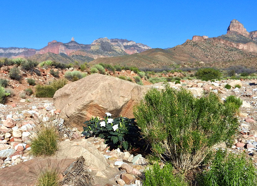
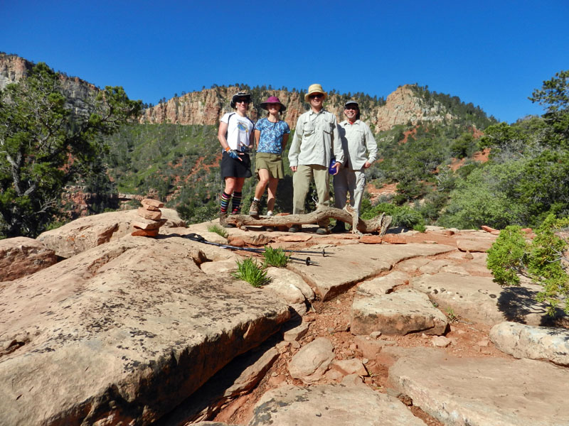
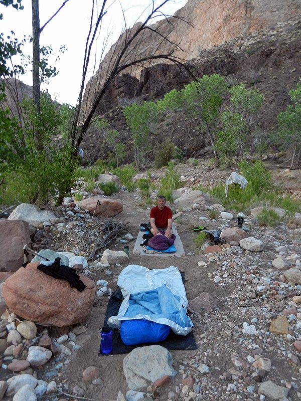
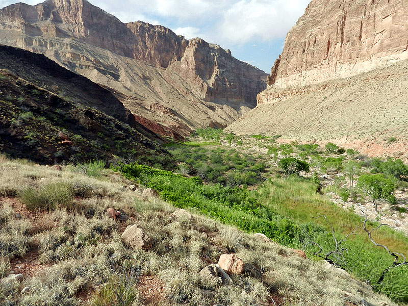
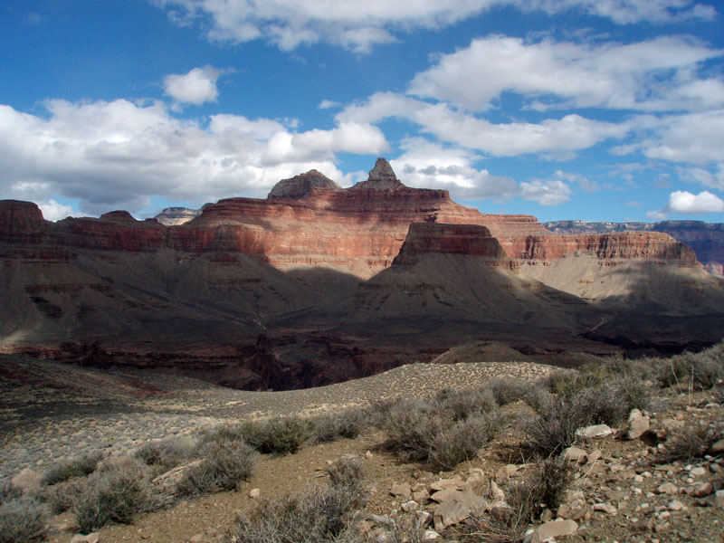
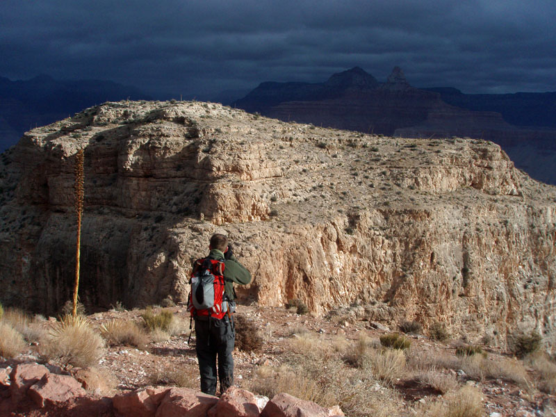
     Writing up a full-fledged trip report for every hike I have done in the Grand Canyon would suffer from at least two problems.  One, there are plenty of trips where not much happened.  This was especially the case for day trips that I took mostly for the purpose of hiking down and back as fast as I could.  Second, it would get repetitive.  How many trip reports do you need to read on hiking to Plateau Point?  Well, just one really.  But, there are usually some interesting features to remark on for every hike, and some unique photos.  So, I will endeavor to fill in this page (and, others) with these short stories and photos.  They are arranged, from top to bottom, in chronological order and linked to the list below.
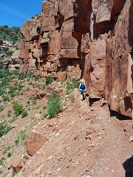
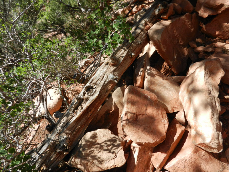
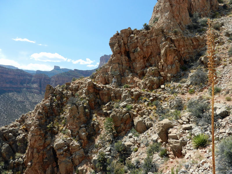
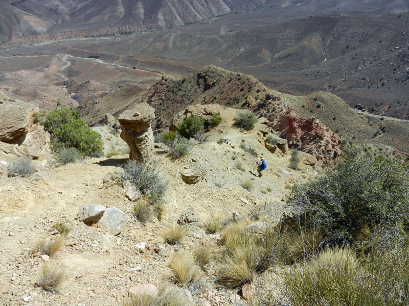
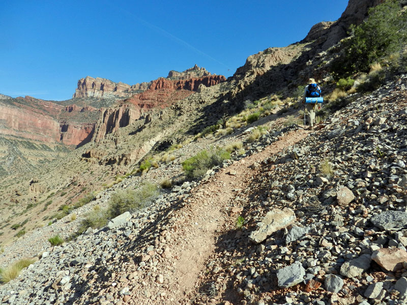
2012/05/15-17 - A Short, Hot, Hike to Nankoweap


A Short, Hot, Hike to Nankoweap
Tuesday-Thursday, May 15-17, 2012

     I made arrangements to take a quick hike down Nankoweap in mid-May, after school was out, with my buddy John Eastwood.  I wanted to scout around a bit to see if there wasn't an older trail remnant still visible from the Tapeats to the creek.  Reading Walcott's journal from 1882-1883, I had surmised that the trail building party hadn't followed the route we use today all the way to the creek.  In fact, on the old maps, from the early 1900s, the Nankoweap trail is shown abruptly ending at the top of the Tapeats.  When Harvey Butchart first tried this trail, he ended up at a "pink outcrop" and scrambled down there to the bed of a small canyon between Tilted Mesa and Marion Point.  But, later, he found a constructed section of trail through the Tapeats, further south, which is how the current trail takes one down to the creek.
     So, I wanted to spend some time looking over this pink outcrop to see whether there were any signs of the historic trail having gone through here.  Joining us on this hike were Bridget and Alexis, who were hiking down into Nankoweap for the first time.  Through a mutual friend we found out that we were both starting on the same day and they decided to hook up with us to insure getting through a couple of the rough spots in the trail.  As it turned out, the trail has been improved in these places over the last year or so and we hardly noticed these spots.
     The biggest drawback we faced was the heat.  It was well over 100 degrees at the bottom.  May can go either way in this regard and our plans just happened to coincide with a heat spell.  Consequently, on our free day at the creek, John and I hiked up the side canyon to the bottom of the hill that is capped by the pink outcrop and scouted around for only a couple of hours in the morning.  We saw nothing definitive, and by 10 a.m. we were back at the creek, and my notes read, "Hot Hot Hot."  There we stayed all day, as the heat, even in the shade by the creek, just sapped the energy from us.
     On our third day, we were up at 4:30 a.m. and on the way a bit after 5:30 a.m.  That worked well, as we had shade up to the base of the Tapeats and through a great deal of the Redwall.  By 8:30 a.m. we were on Tilted Mesa and in the sun for the rest of the day, but we had beaten the worst of the heat.  We reached Marion Point at 11:20 and the saddle at 12:55 p.m., where we took a real long break before heading down to the truck at the trailhead.  We reached it at about 5 p.m.  At the start of the hike, my pack weighed 35 pounds, which included five liters of water (two of which I cached on the way down the trail).  At the end of the hike, I was down to 23 pounds and one liter of water.  And, my weight was down some 4-5 pounds as well!  Our hiking times in and out were pretty close - 8:15 and 8:45, respectively.  I break it down as follows:  trailhead to saddle, 2 hours; saddle to Marion Pt., 1.5 hours; Marion to Tilted Mesa, 2 hours; Tilted Mesa to the creek, 3 hours.
     I reviewed Walcott's notes and have come to believe that I have been misinterpreting them.  I can't otherwise explain the constructed trail through the Tapeats (no later group seems to have had the time, energy or manpower to build it).  Why the old map shows the trail dead-ending is a mystery to me.  Surely they knew that Walcott had traveled all the way to the creek on mules.  It is a story that will require further inquiry.


John hikes along one of the narrow
stretches of the Nankoweap trail
along a narrow band in the Supai.  

Alexis, Bridget, John & Dennis. 

Signs of old construction. 

Wire, pipe and log define the trail.

Construction in upper Redwall.

Steep descent past camp-on-a-ledge.

Hiking up in the lower Redwall.

Since there is no trail here, we
didn't camp in the middle of it.
But, we camped in the middle
of something! Just enough room.

Nankoweap basin. 

Harvey's pink outcrop. 

Return to Hiking Grand Canyon home page

dfoster@kaibabjournal.com