|
|
A Climb up Mt. Humphreys Sunday, September 4, 2005
|
|
|
|
|
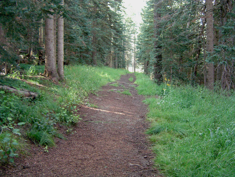
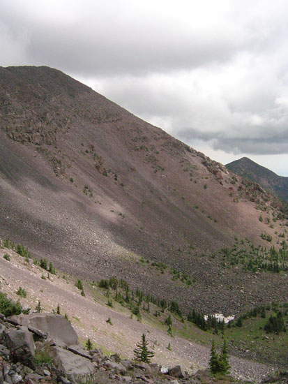
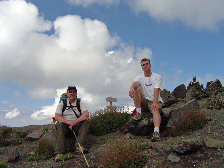
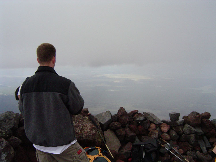
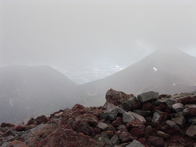
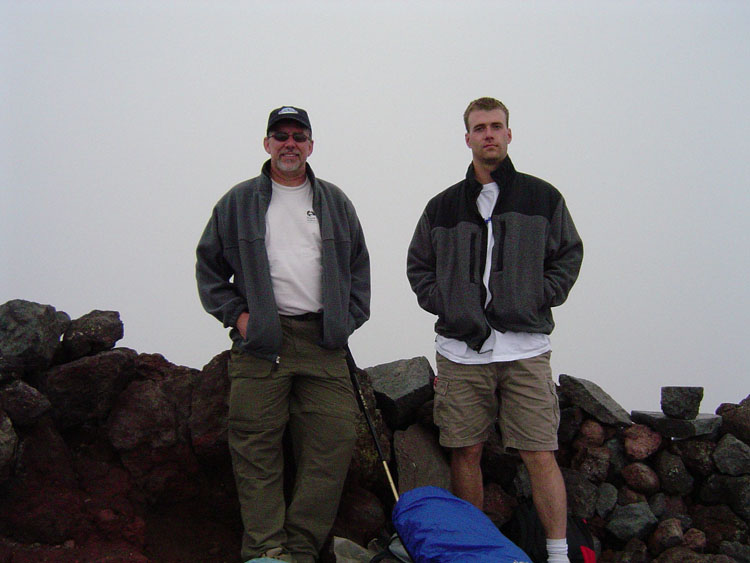
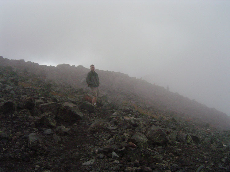
Stepson Eric Dhooge and I headed up Mt. Humphreys with some high
cloudiness overhead through a damp forest. We began at the 9,500
foot elevation, near the Arizona Snowbowl Skyride, and burst through the
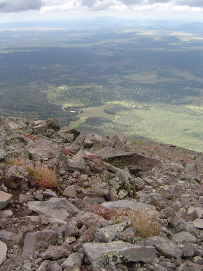
treeline at about 11,500 feet. Crossing a saddle that affords
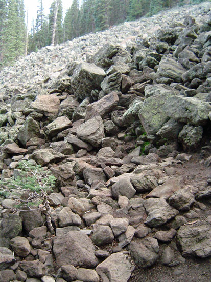
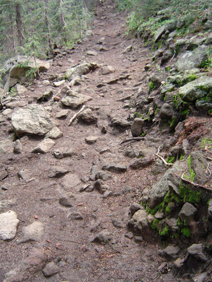
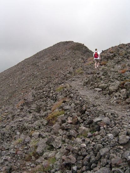
spectacular views to the east, into the Inner Basin, the trail takes a
sharp decline in quality as we become more like mountain goats hopping
rocks to the summit. We left the lodge at 8:22 a.m. and reached the Inner Basin Saddle (or, the Agassiz-Humphreys Saddle) at 10:05 a.m. We rested there for about fifteen minutes before beginning our climb to the summit, which took another 45 minutes. We were at the top from 11:05 a.m. until 11:25 a.m. On our return, we passed by the saddle at noon and reached the lodge at 1:23 p.m. We were in the mood for some hot chocolate, but, on entering the lodge, the aroma of hot wings changed our minds! |
|