|
|
|
|
Remembering the B-24 Crew by Dennis Foster Sunday, September 25, 2005 |
|
|
|
|
|
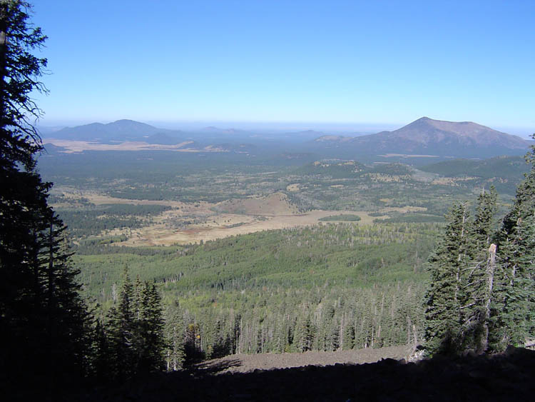
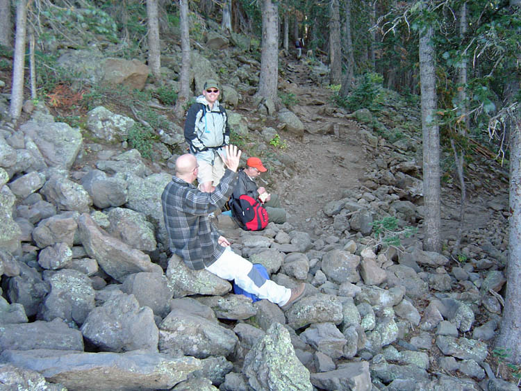
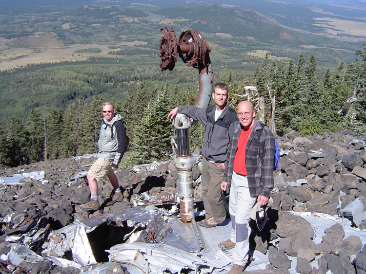
Along with Eric Dhooge, Todd Johnson and Dick Toeniskoetter, I headed up Mt. Humphreys
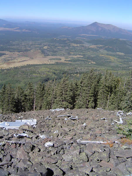
on a day that would have been beautifully clear, except for the Forest
Service doing a host of prescribed burns in the area. Still, the air
was clear up on the mountain, but the views would have been much clearer
without the smoke. Why is it that the best times for these burns are
the best times of the year? And, why is it that we burn up the
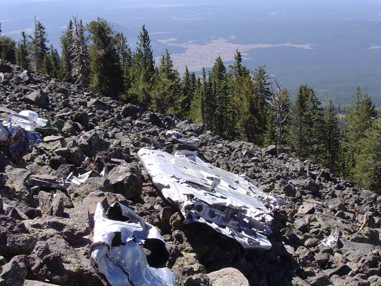
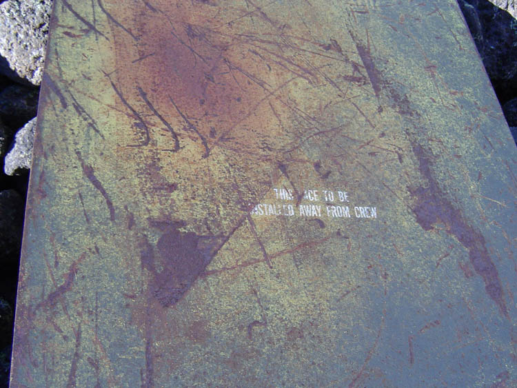
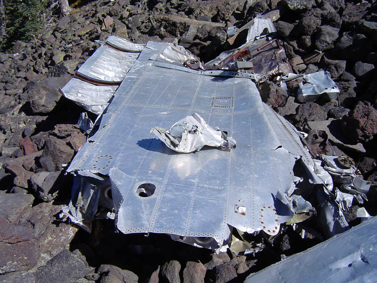
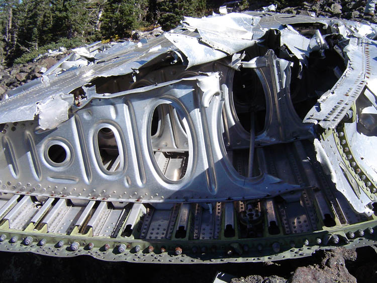
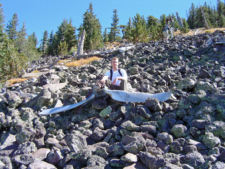
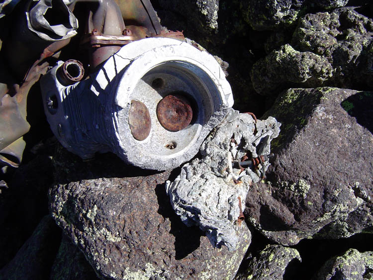
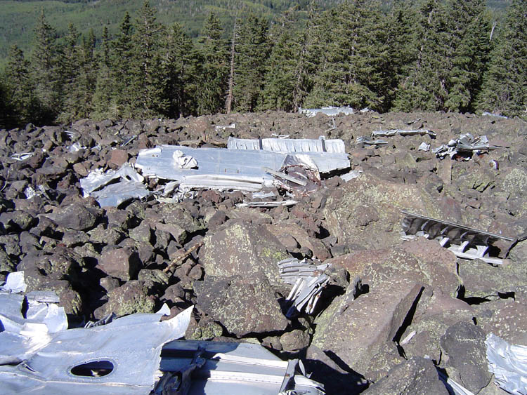
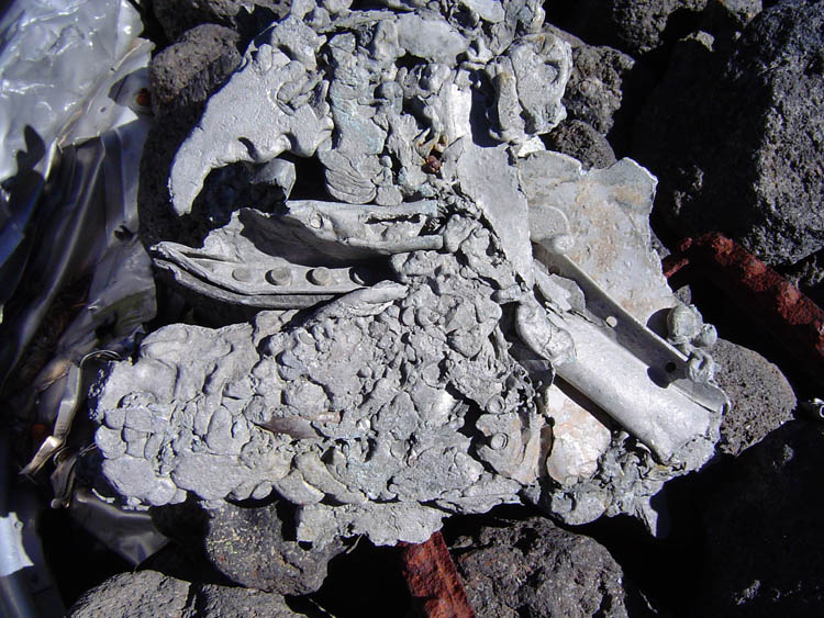
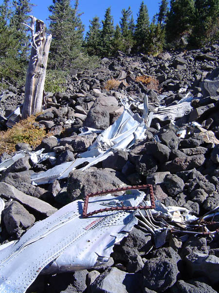
world's most popular fuel source, polluting the skies? Our objective was to visit the old B-24 crash site, on the western slope of Humphreys. The hike was organized by Damon Brown, and wife, Jenine, but they followed a tough, straight line, route up the side of the mountain. Consequently, they were always ahead of us on this trek. We got started at about 7:45 a.m., climbing first to the plaque which memorializes the crew and the event. Then, we hoofed it along the trail to a spot where one can reasonably traverse over to the site. We left the trail at about 10 a.m. and reached the lower end of the main crash site a bit before 10:30 a.m. We spent about an hour here, perilously crisscrossing the rocky slope. By 11:30, we started to wind our way down through the forest, intersecting the trail at 12 noon, just a few minutes from the spot where it makes a switchback alongside a wide rock-strewn slope. By 1 p.m. we were back to our vehicles at the lower parking lot, below Snowbowl. |
|