 |
|
|
Lees
Ferry to Nankoweap Various Short Trip Reports by Dennis Foster |
|
|
|
|
|
|
|
Lees
Ferry to Nankoweap Various Short Trip Reports by Dennis Foster |
|
|
|
|
| Writing up a full-fledged trip report for every hike I have done in the Grand Canyon would suffer from at least two problems. One, there are plenty of trips where not much happened. This was especially the case for day trips that I took mostly for the purpose of hiking down and back as fast as I could. Second, it would get repetitive. How many trip reports do you need to read on hiking to Plateau Point? Well, just one really. But, there are usually some interesting features to remark on for every hike, and some unique photos. So, I will endeavor to fill in this page (and, others) with these short stories and photos. They are arranged, from top to bottom, in chronological order and linked to the list below. | |
|
|
|
|
|
|
|
|
|
|
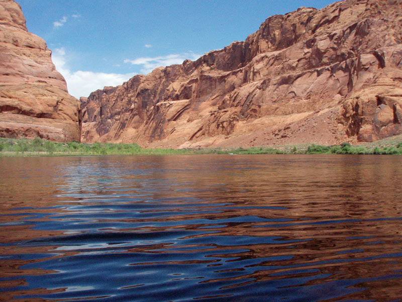
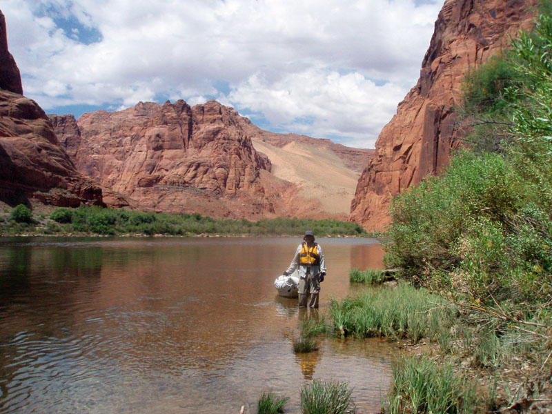
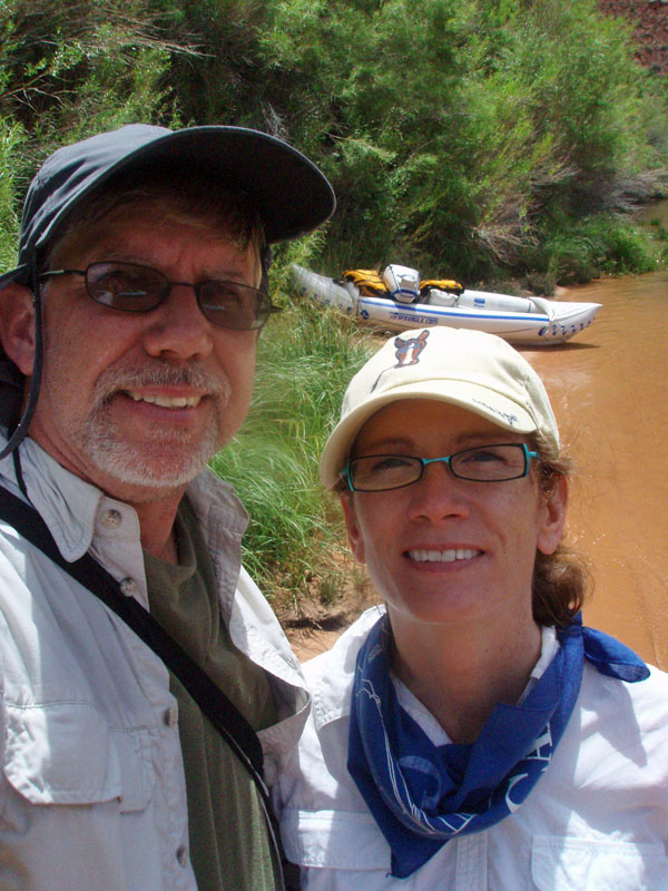
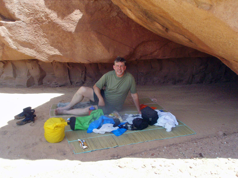
In 2008 I
bought an inflatable kayak (Sea
Eagle 330) in order to do a long backpacking trip across the river
from Tanner. I figured I should get more use out of it so Cara
Lynn and I took this opportunity to take it up to Lees Ferry and head up
river to a place called Water Holes Canyon, which is about four miles
above Lees Ferry. No permit needed for that, and no licenses for
the boat since it didn't have a motor. So, technically, this trip
is outside the boundaries of "Lees Ferry to Nankoweap."
But, since we put in, and took out, at Lees Ferry, and we did a small
bit of hiking, what the heck. |
|
|
|
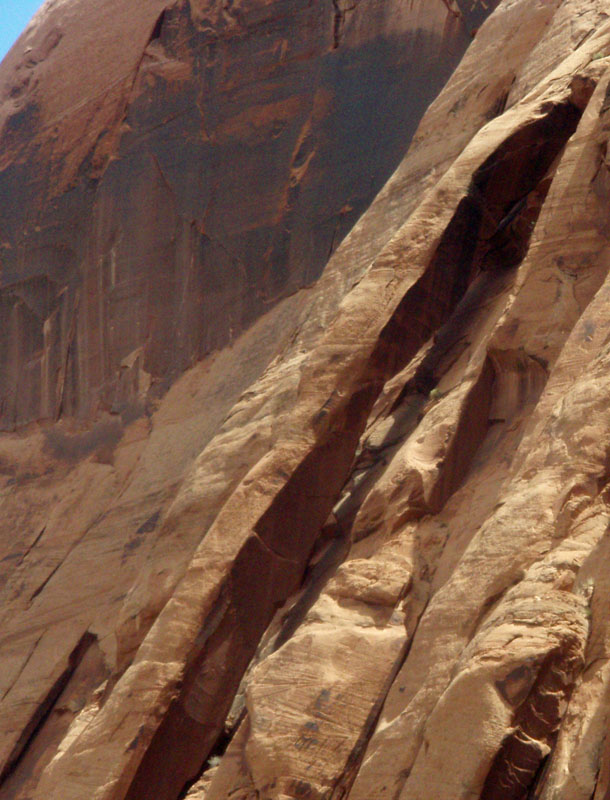
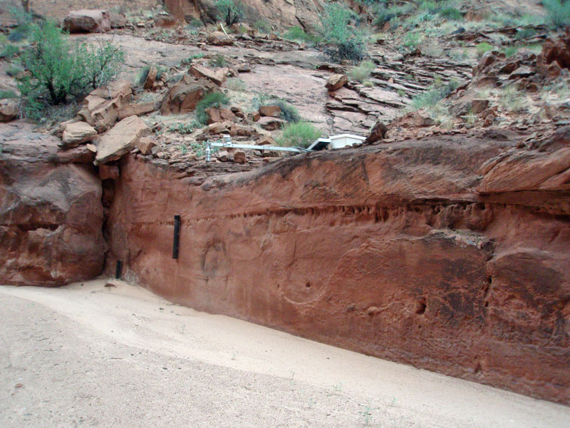
Stymied by 6 Mile Wash &
Cathedral Bypass
|
|||||
|
|
|||||
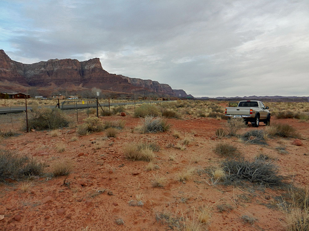 The gate across from Vermilion Cliffs. |
 Badger Rapids Overlook. |
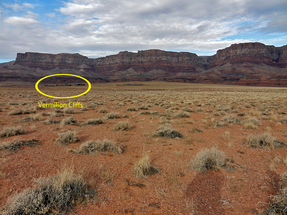 V.C. from parking for hike. |
|||
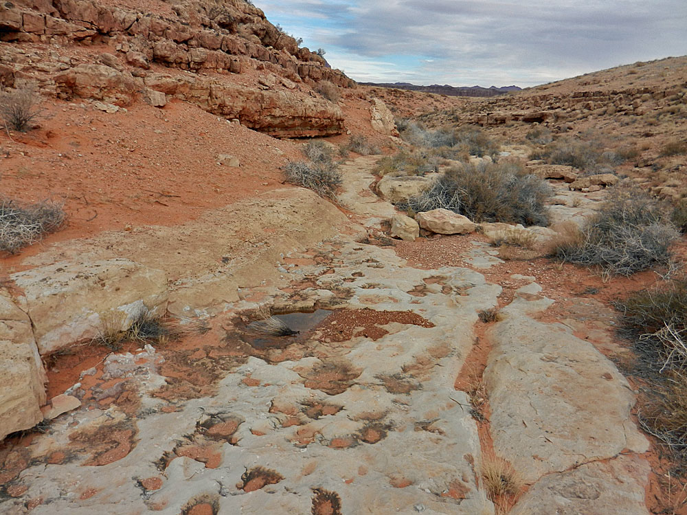 6 Mile Wash. |
 A possible exit to the north? |
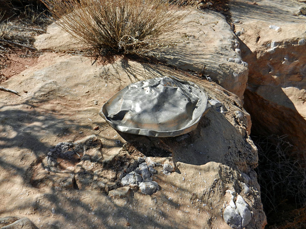 Hubcap in the wash. |
|||
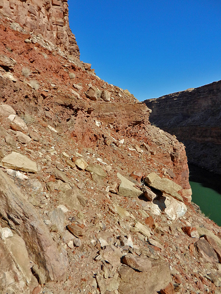 The "route" goes to the left across a steep slope full of loose rock. I made a tentative try at this but turned back. |
 The stopper - a cliff below. |
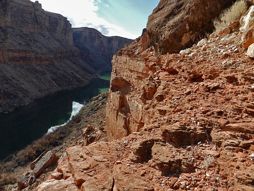 No route to the right/downstream. |
|||
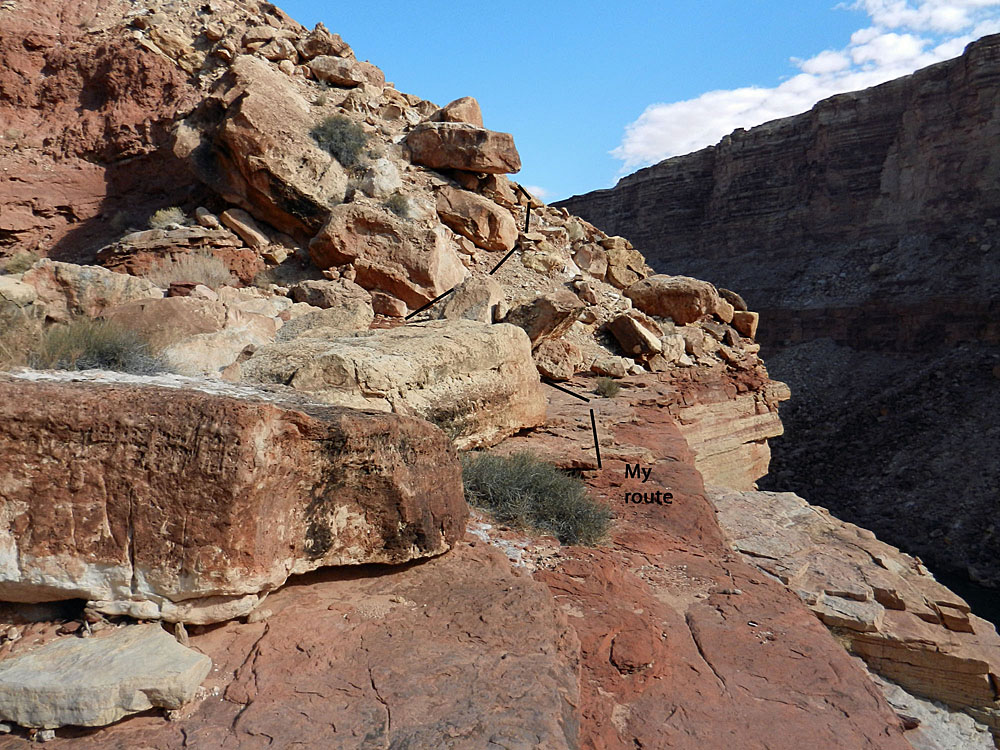 My route across the bed. |
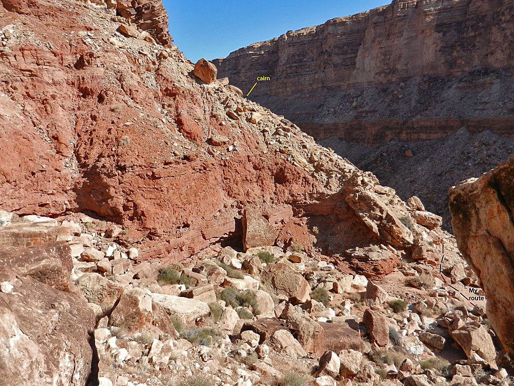 On my way out, I spied this cairn. |
||||
 |
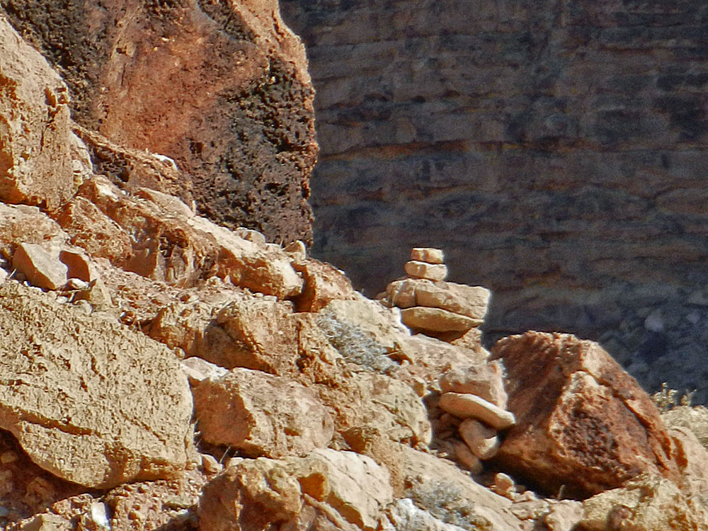 To
the right is a close-up of the cairn that is in the photo above. I
had tried to contour around much lower and didn't see this high cairn
until I was hiking out the other side. To
the right is a close-up of the cairn that is in the photo above. I
had tried to contour around much lower and didn't see this high cairn
until I was hiking out the other side.To the left, looking up the route to the rim. Two of the Yahoo group members mentioned that they had come up to 6 Mile Wash from the river and hugged the bottom of the Kaibab cliff. They followed a game track and were able to climb out just around the corner in the wash. |
||||
| After returning from 6 Mile Wash, I went down Cathedral Wash to check out the bypass downstream: | |||||
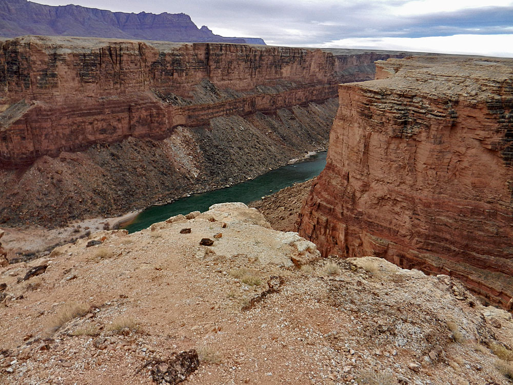
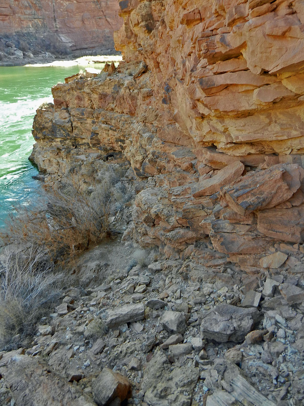
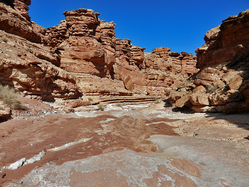 Cathedral Wash. |
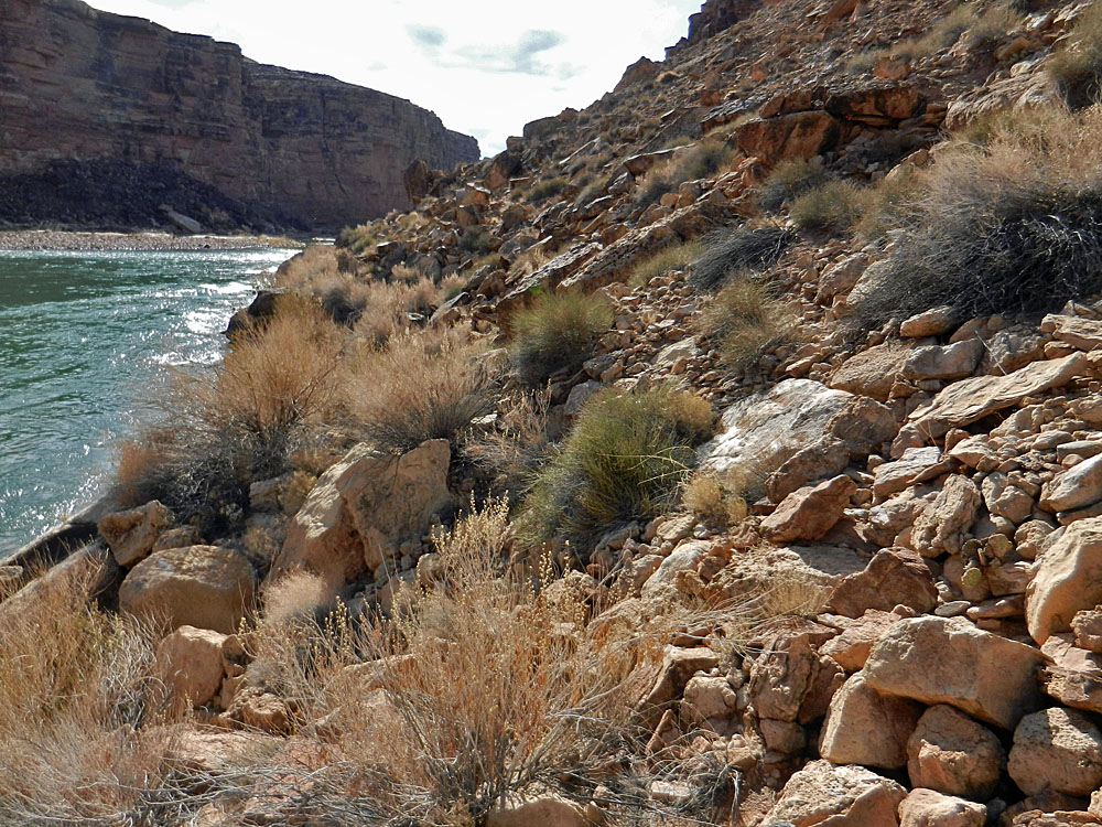 River route below C.W. |
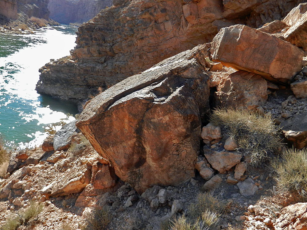 The stopper; cliff is past this! |
|||
 Closer view of what stopped me. |
 Piles of small bones here. |
 The C.W. "trailhead." |
|||
|
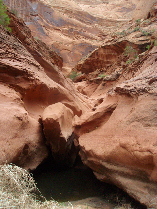
A First Try for Soap Creek Rapids
|
|||||
|
|
|||||
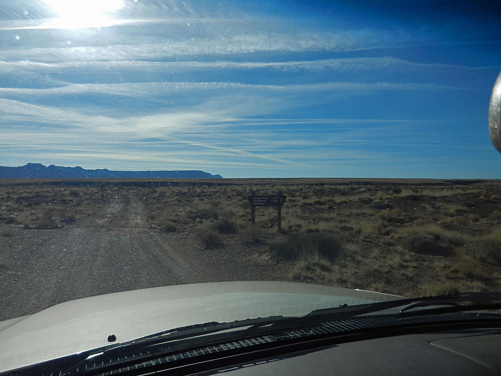 Gate and sign near highway. |
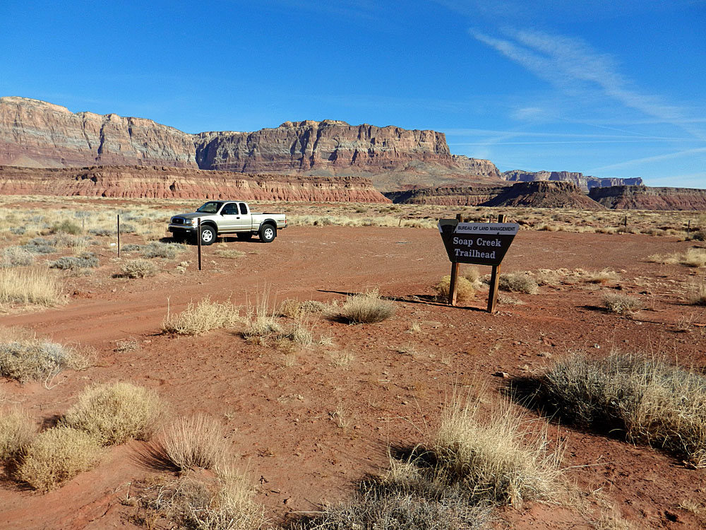 The parking area & Vermilion Cliffs. |
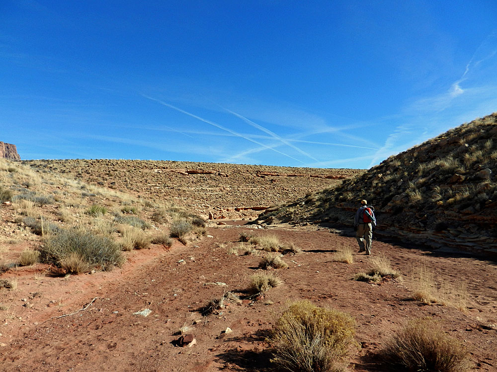 Route starts in dry bed. |
|||
 It was easy following the dry bed, but it soon gave way to developing narrows, requiring bypasses. This was the first and was well-cairned. |
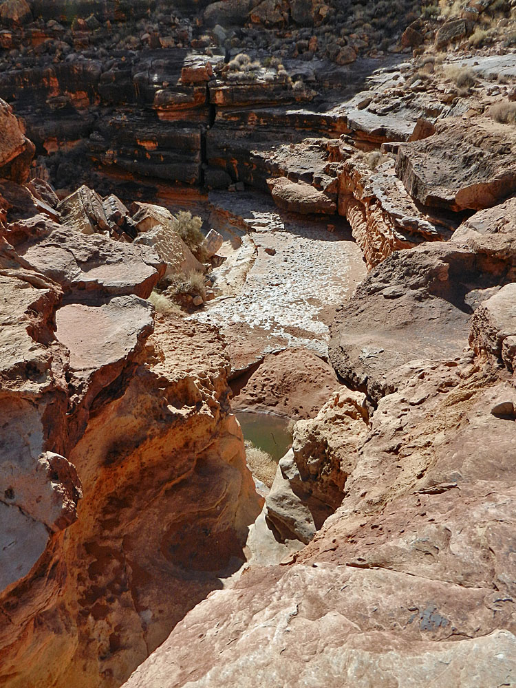
 The narrows deepen. |
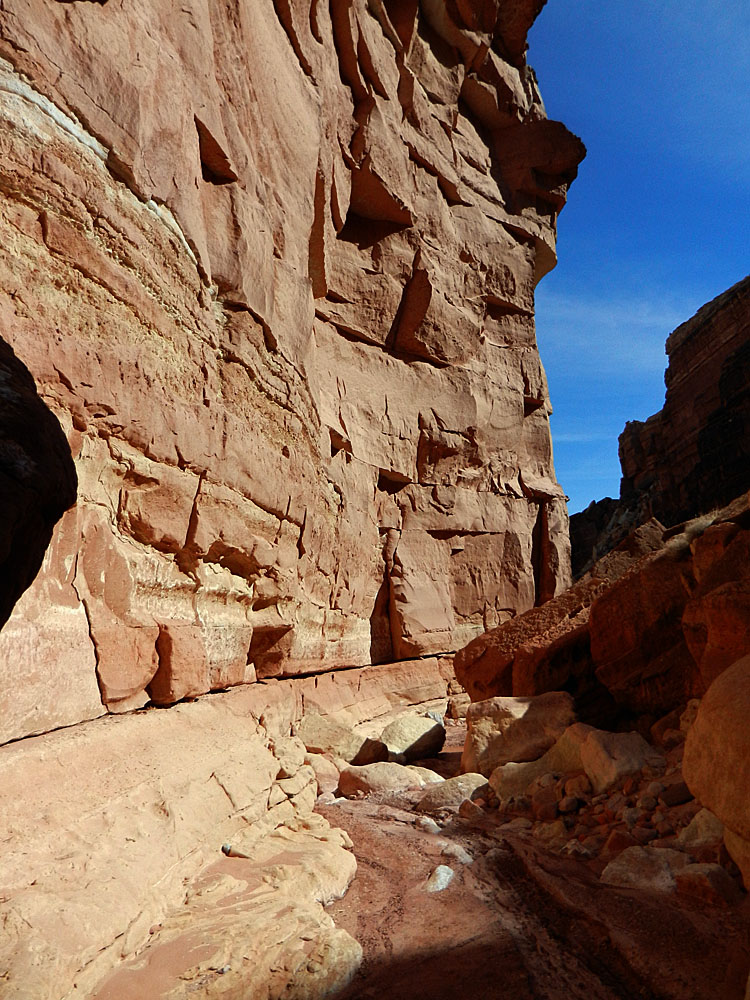 Very impressive hiking through here with the sheer cliffs rising above you and the narrow bed to walk in. But, I soon had a rocky jumble to deal with. |
|||
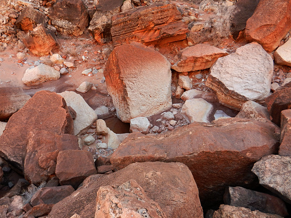 Rock-choked bed. |
|||||
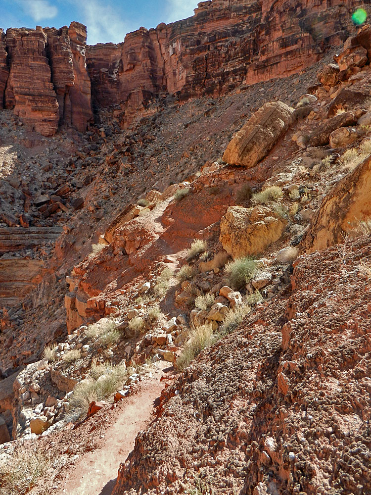 There was one bad spot that required a bypass through a rocky field and down a steep slope. Then I came to another one with a very well-worn trail! |
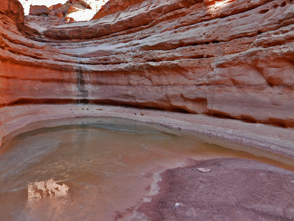 The trail passed this pool; note ropes. |
 Climbing down boulder stopped me. |
|||
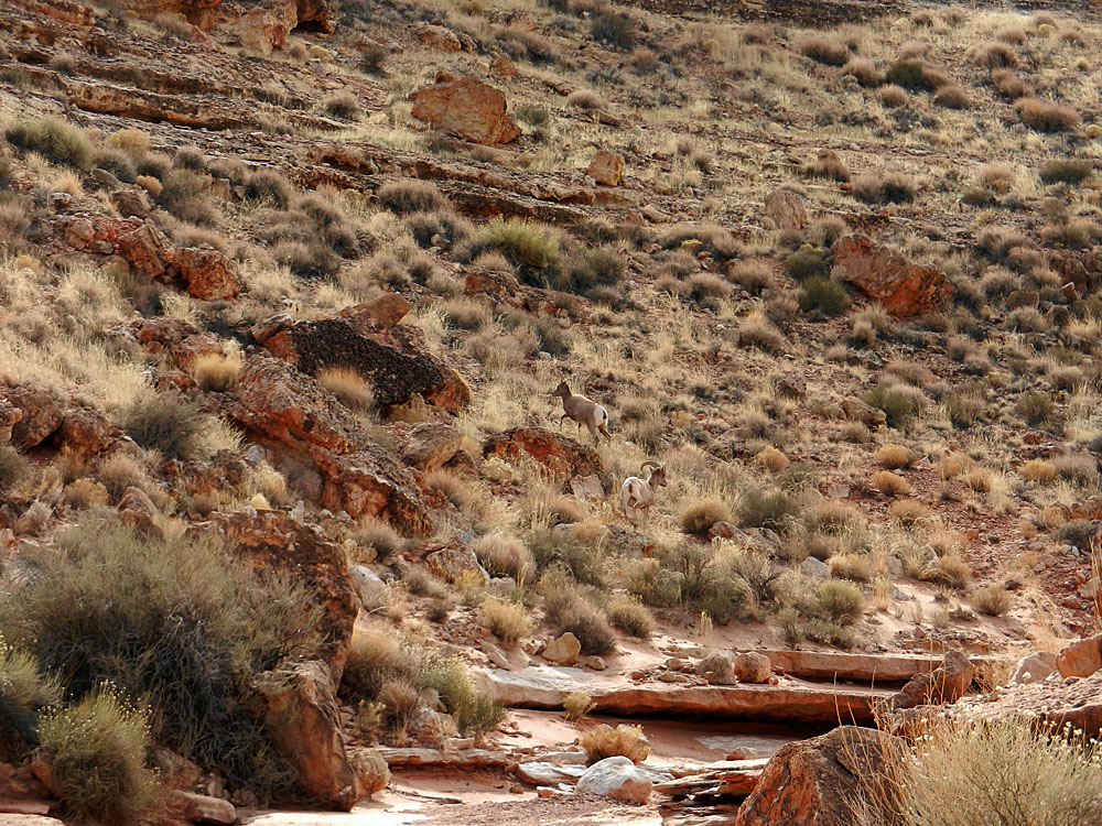 I scared up a couple of bighorns. |
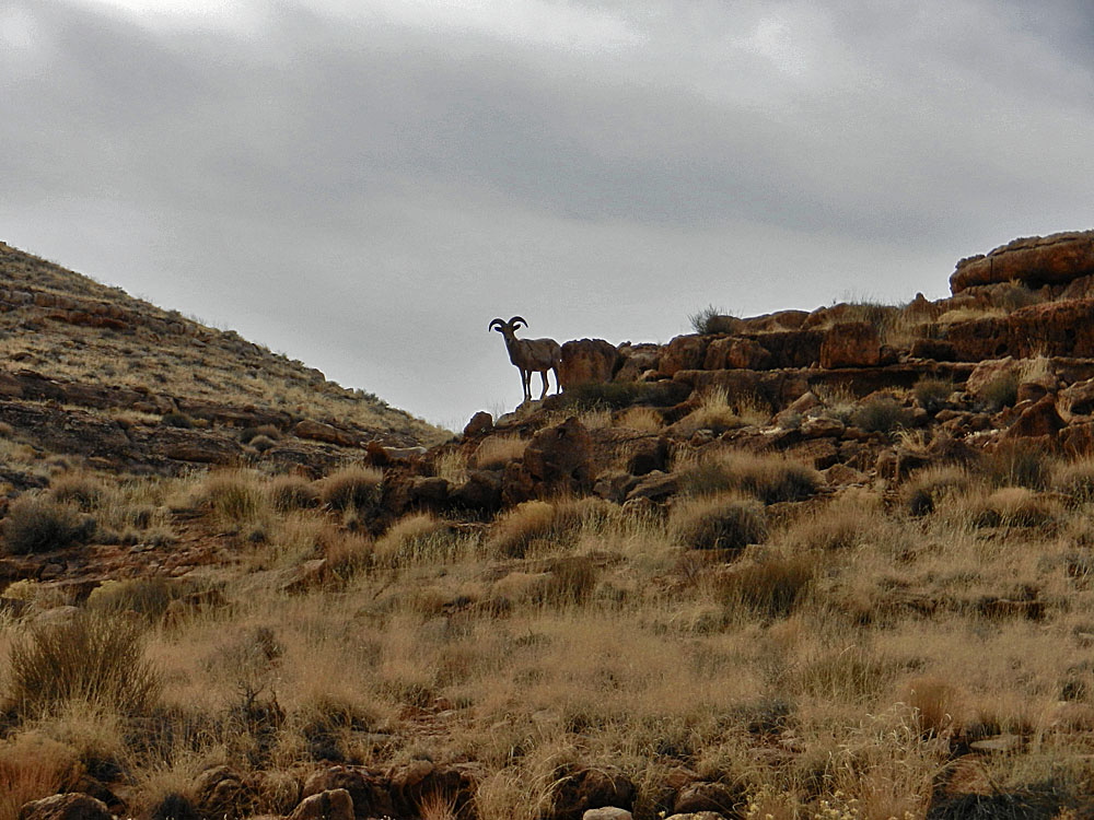 A nice parting shot. |
||||
|
|
Return to Hiking Grand Canyon home page |

