South Bass Trail Area
The mini-blogs

Various Short Trip Reports

by Dennis Foster


Mount Huethawali looms
over the South Bass trail.


Click on any picture to see a larger image.

     Writing up a full-fledged trip report for every hike I have done in the Grand Canyon would suffer from at least two problems.  One, there are plenty of trips where not much happened.  This was especially the case for day trips that I took mostly for the purpose of hiking down and back as fast as I could.  Second, it would get repetitive.  How many trip reports do you need to read on hiking to Plateau Point?  Well, just one really.  But, there are usually some interesting features to remark on for every hike, and some unique photos.  So, I will endeavor to fill in this page (and, others) with these short stories and photos.  They are arranged, from top to bottom, in chronological order and linked to the list below.
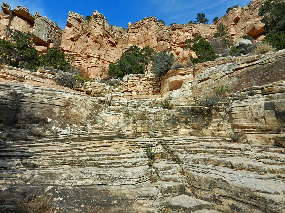
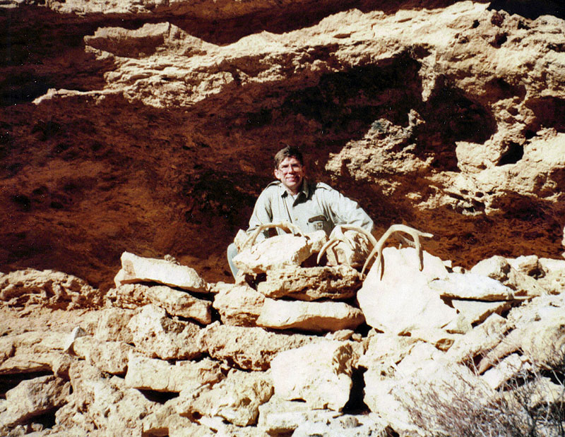
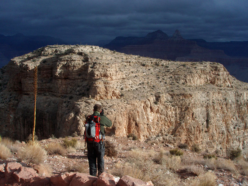
1995/12/02 - First Attempt at Huitzil from the Rim

1996/01/07 - Second Attempt at Huitzil from the Rim

2014/11/15 - A Day Hike on the Grand Scenic Divide


First Attempt at Huitzil from the Rim
Saturday, December 2, 1995

     My first try at the Pt. Huitzil route came from the Esplanade late September (of 1995).  Now it was time to try from the rim.  Since it took Harvey Butchart many tries to locate this route, I was not hopeful.  And, so it went for this try, although I got very close to lucking out on this "first" try.
    This might have been the first time I have been up in this region since the Havasupais have started to control the road that cuts through a small corner of their reservation.  I reached a gate that had a "No Trespassing" sign and I pondered what to do.  [If someone had been there charging for entrance, I'd probably have paid, but that wasn't an option.]  I had seen a road paralleling the boundary fence, so I decided to see if it would take me all the way into the park.  Alas, it didn't.  But, with my dog Peppyr in tow, we hiked up to the park boundary, crossed it and soon reached the abandoned Pasture Wash Ranger Station.  From there I followed Harvey's directions - follow the road until you pick up an old phone line and then follow it; after a while, head right until you come down into a ravine and follow it to the rim.  That worked fine.
     Once at the rim I was only able to allot about an hour and a half to searching for the route.  I tied up Peppyr to a tree (No, she wasn't happy!) and followed a trail down through the upper cliffs.  I tried to follow Harvey's notes, but came up empty.  Later, when I did find this route (in fact, the next month), I realized I was virtually standing on top of the right spot!  I have also posted up a much fuller account of this trip.


Peppyr at park boundary.

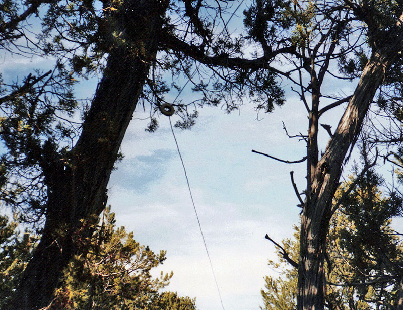
The old phone line I followed.

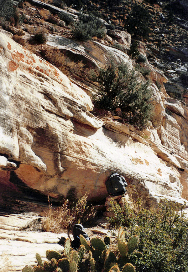
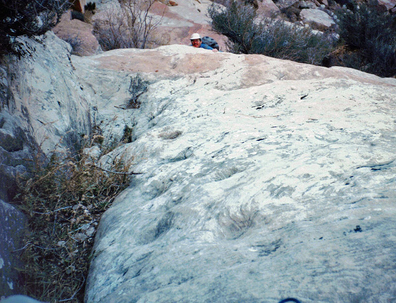
 The drainage that leads to the route.

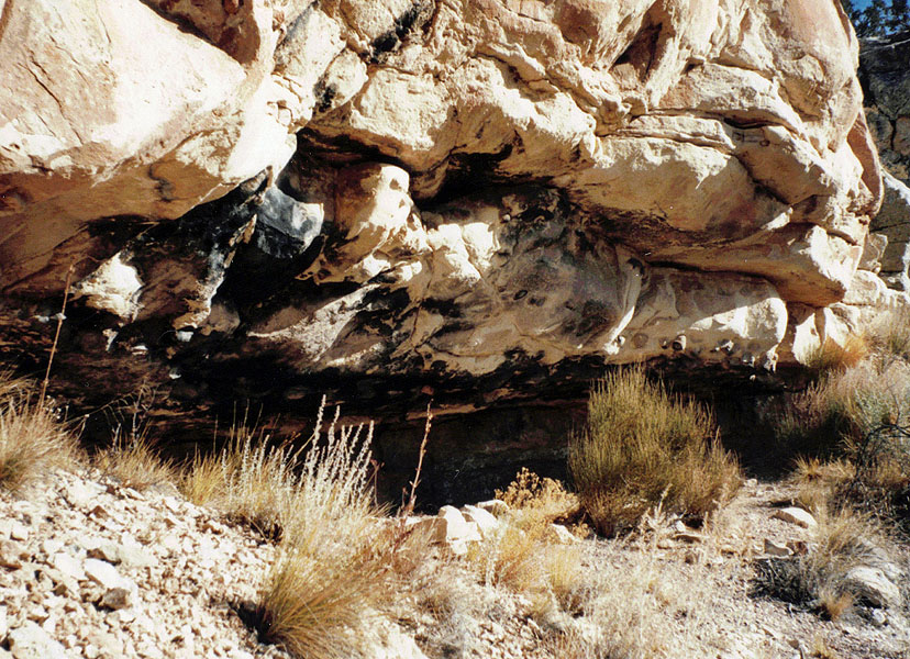
An overhang that has had lots of use.

My furthest progress; very close!

A look at the route.
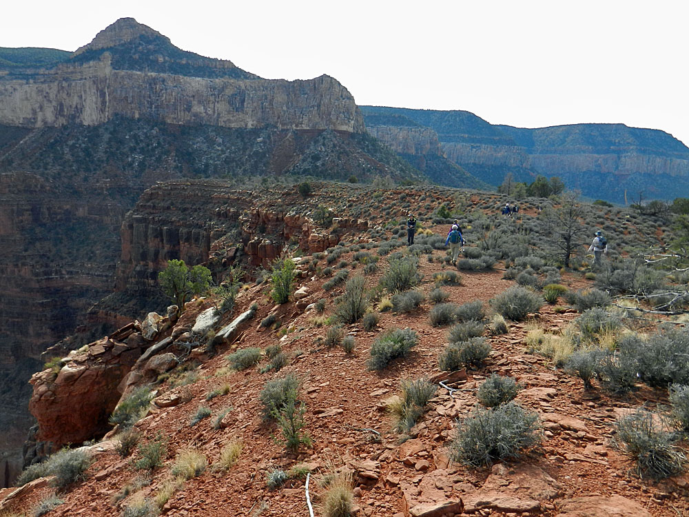
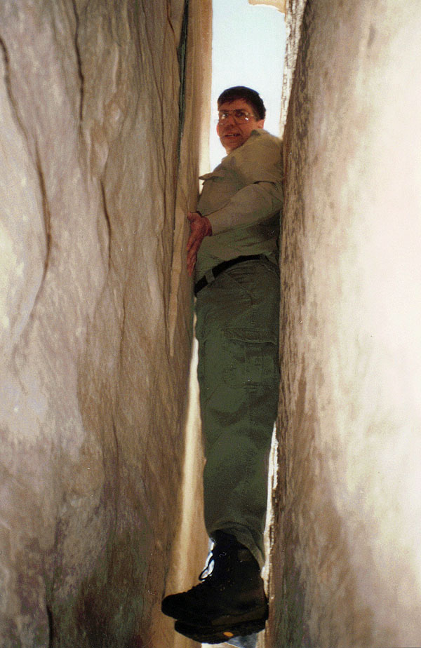
Second Attempt at Huitzil from the Rim
Sunday, January 7, 1996

     It's a new year, the weather is pleasant and there isn't any snow on the ground.  Sounds like a good time for another trip up to the South Bass and take another crack at the Point Huitzil route.  This time I went up with hiking buddy John Eastwood.  We got an early start and managed to swing by the backcountry office on our way in so I could get a permit for a hike later in the spring.  This time I was able to drive through the gate at the reservation boundary and we parked past the Pasture Wash Ranger Station, on a dirt road that heads west here.  By 10:50 a.m. we were hiking along the road and then through the woods to the ravine that leads to the rim.  We got through the Kaibab and Toroweap layers and at the Coconino we went west to first scout out the route in hopes of bettering our chances of actually finding it.
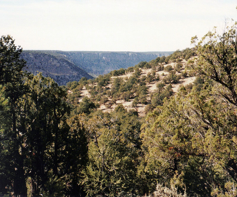
     Upon re-reading Harvey's notes and spotting something that looked like a residual wall, we determined that the correct route through the Coconino is before the twin towers in the Toroweap.  Up until then I
had thought we needed to go further.  No wonder it took Harvey so many trips to find this route!
     So, off we went.  The little wall looked more like an impromptu ruin (see below) with six antlers laying about.  We continued down the sloping Coconino, finding rocks piled up in a crucial spot.  Then, we were on a ledge with a big tree we had seen from our scoping spot.  There is a huge detached rock here and we wondered if you could chimney down it.  You can, although only John went down a bit.  [On the way back, he decided to climb up it for fun.]
     We reached a spot with a deep crack and were stymied for a bit.  Peering into the crack, I thought I saw some reflected light.  John went in and found that there was a 90 degree turn that lead to sunshine.  So, I followed.  The other side of this crack had a wooden pole, with steps cut out, that lead up to a hole where you can pop out on the ledge above.  That is the proper route and we were right next to it the whole time!  [See the photo above.]
     Once past this spot, there are loads of petroglyphs here and we stopped to look them over.  Then, on our way.  From here, the route was quite straightforward.  The ledge took us to the next climb down.  Then, we followed that ledge the opposite direction to what Harvey called the "Moki steps."  These are indentations in the rock that are good enough to hold your hands and feet in place as you crawl down the rock.  Then we were on a bench that wrapped around the cliff and took us to the bottom, where we could see that a talus slope would get us the rest of the way to the Esplanade.  On my first attempt to find this route, from the bottom, I got to within 20 yards of this spot, but didn't see it.  So it goes.
     It was already 3 p.m. when we were here, so we were soon on our way back up.  We came back up and made a quick detour over to Pt. Huitzil proper.  Then, it was back to our ravine and back the way we had come.  I tried to use my compass, but it seemed rather confusing.  Still we lucked out and just happen to find the telephone line, although it was lying on the ground!  We followed it all the way back to within 10 yards of the truck, which we reached at 6 p.m.  I have also posted up a much fuller account of this trip.


This isn't a hard spot to find, but it
does require climbing down a steep
sloping rock.  There was a built-up
step here to assist in getting down
and back up again. 

An impromptu ruin with antlers.  

So, we found this crack and
literally couldn't reach the bottom.
It wasn't too far below me, but I
did use my hiking boots to wedge
myself in and make sideways steps. 

Glyphs, crack and hole. [Annotated

The petroglyphs are very extensive
here and, surprisingly, mostly face
up and seemingly exposed to
the elements.  But, space enough
for John to relax. 

John at the bottom of the Moki Steps. 

We had seen this chimney on the 
way down, before we found the
crack.  But, to challenge his return,
John opted to climb up through
it to the top. 

The bottom of the route.


A Day Hike on the Grand Scenic Divide
Saturday, November 15, 2014

     Mostly the fall hikes I help organize for faculty at the FCB are in the main area of the South Rim.  This year, given the great weather and a long-standing interest on my part, we went out to the South Bass Trail and hiked out to the end of the Grand Scenic Divide.  In 1910, author GW James wrote, "Grand Scenic Divide was so named because it is the point where the granite of the Inner Gorge disappears from the Grand Canyon, and this disappearance makes as vast and wonderful a difference in the Canyon scenery as it is possible to find in its whole two hundred and seventeen miles of length."  (p. 82)  Well, after that build-up, who wouldn't want to go?
     We got an early start from Flagstaff, and even though it is late in the year the Havasupai gate was being manned, costing us $50 for two vehicles and the apple pie I brought along for the guys at the gate.  There were a few vehicles at the lot when we arrived, including a backcountry ranger about to head out on a day hike - I tried to chat with him for a bit, but he wasn't especially friendly.  By 9:45 a.m. we were on our way.  We reached the Esplanade trail junction at 10:40 a.m. where we cached some water for the return.  Soon we were off the trail and making our way over to, and across, the Grand Scenic Divide, which is a nice broad terrace with real easy hiking.  At about noon, five of us reached a point where going further would require some serious climbing down a small cliff.  It didn't deter Tim, who made the climb and went out to the nearby end-point.  But, the rest of us were content to stay where we were.  Since it was a cool day I decided to bring my Jetboil stove and some hot cocoa packets, which I shared with the rest of the group (well, they had to supply their own water!).  That really hit the spot.  We ate lunch and by 1:30 p.m. were ready to head back.  We soon met up with John and Kathy, who had stopped further back on the terrace.  At 2:45 p.m. we were back at the trail junction/water cache.  Kathy and I were the last ones up to the rim, and that was at four o'clock.  Even so, the fastest of the bunch - Tim and Paul - only finished about thirty minutes ahead of us.


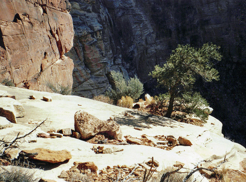
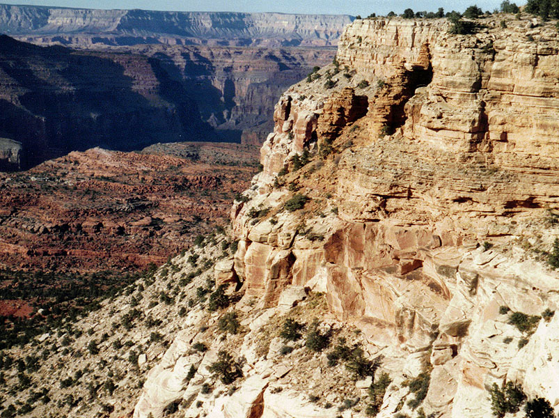
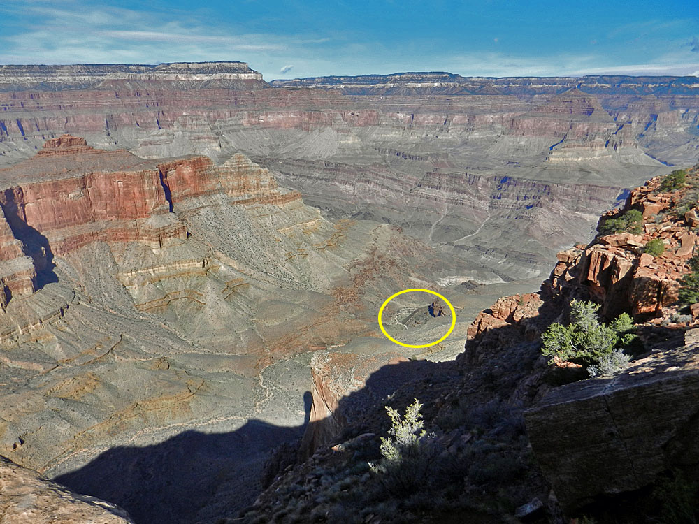
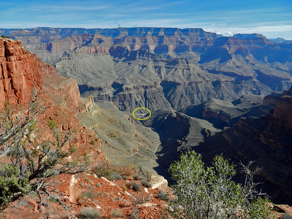
Looking into Bass Canyon
(Wheeler Fold is circled).

Our furthest point ... except Tim
(He is at the very end, circled).

Looking into Serpentine Canyon
(Rapids at river are
circled).

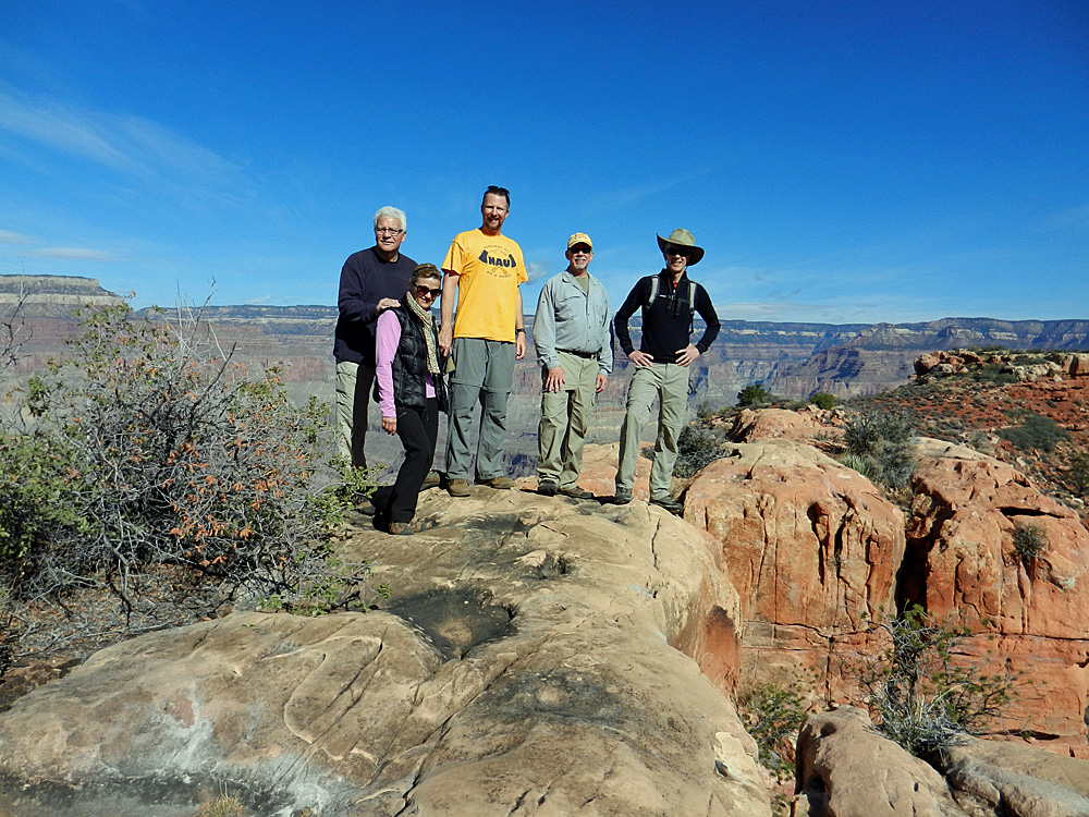
TS, Bev, Paul, me, Tim at end.

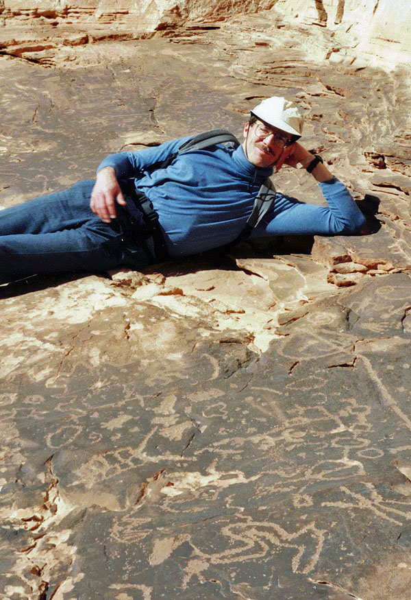
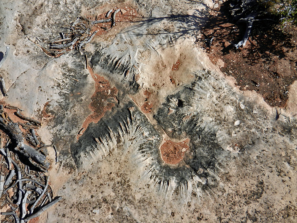
Strange fluted rock surface.

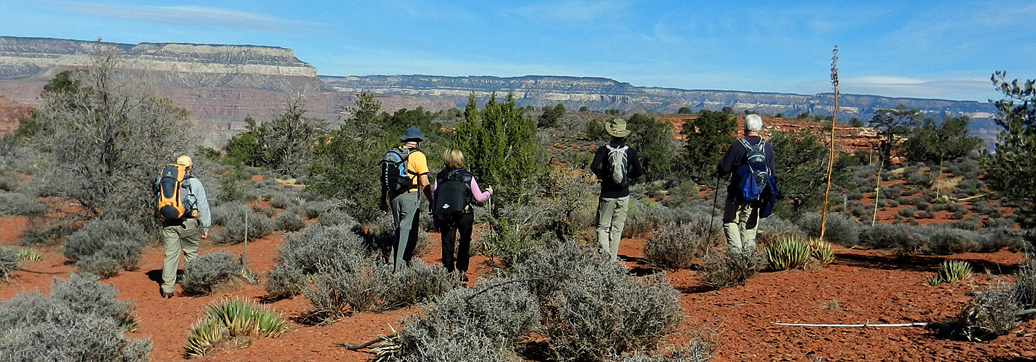
Whole group; inc. John & Kathy.
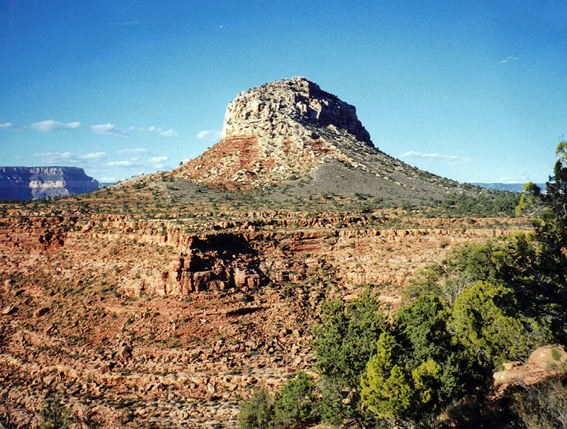
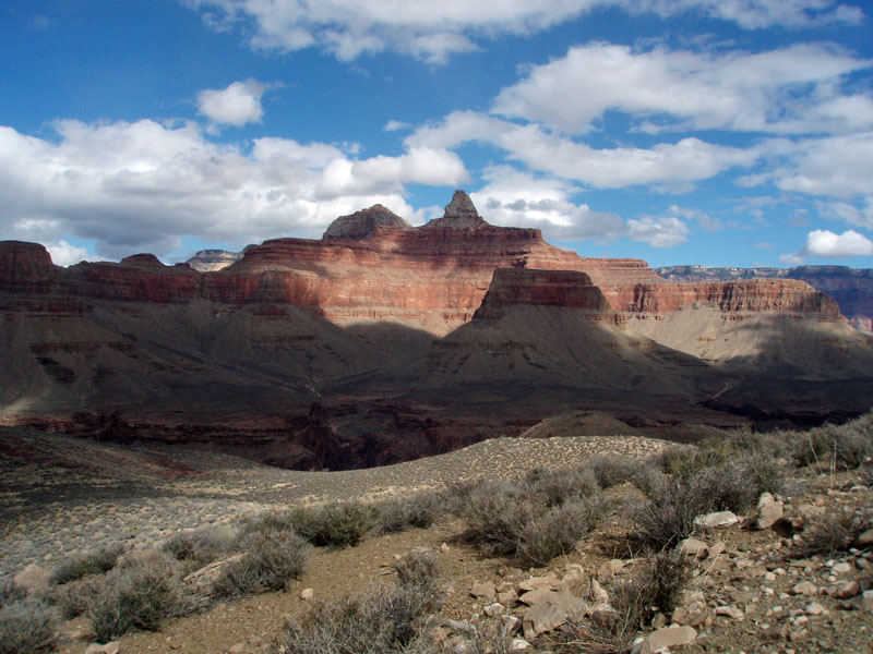
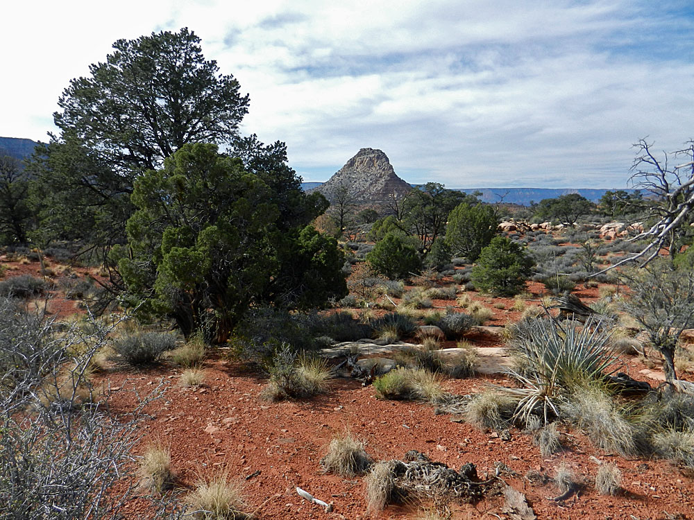
Mt. Huethawali.

Heading back toward Fossil Mtn.

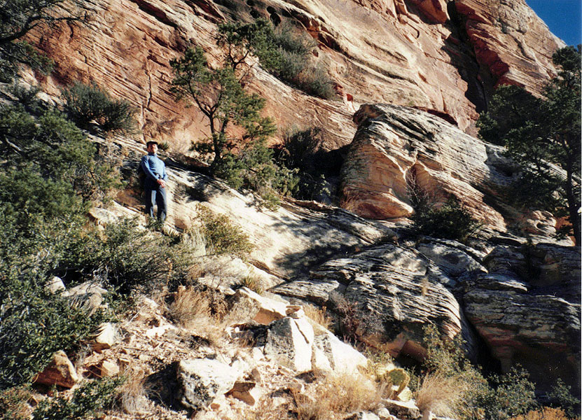
Bass Trail in the Coconino.

Return to Hiking Grand Canyon home page

dfoster@kaibabjournal.com